- Display 24 Products per page
-
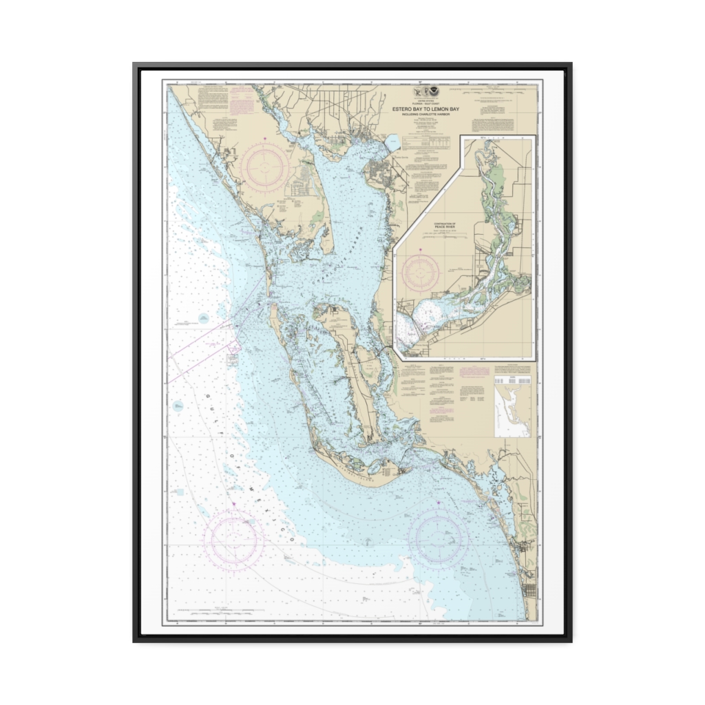
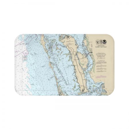
Estero Bay to Lemon Bay, including Charlotte Harbor Continuation of Peace River Nautical Chart 11426 – Floating Frame Canvas
From: $184.95PREMIUM FLOATING FRAME CANVASDistance from your search: 237mi -
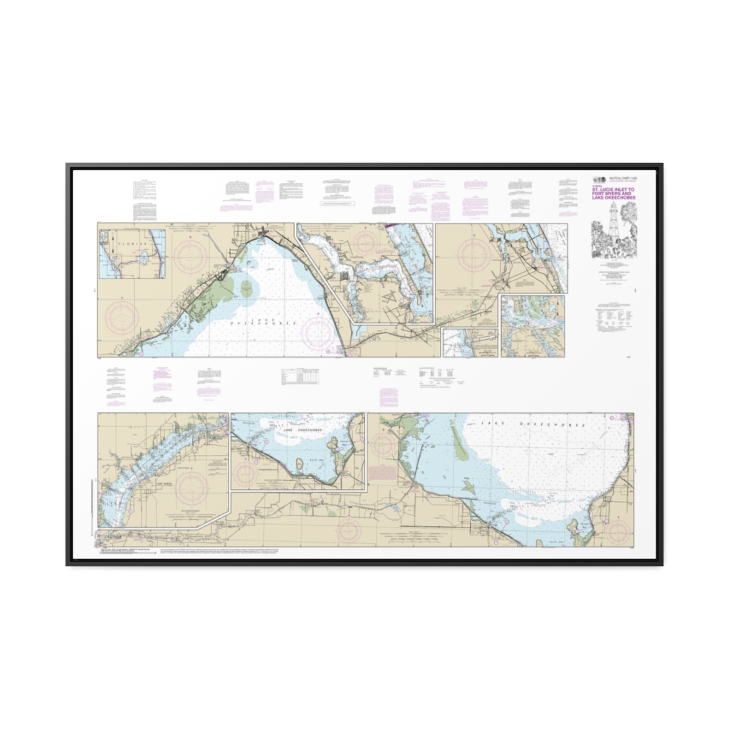
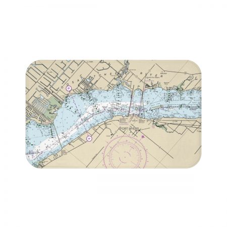
Okeechobee Waterway St. Lucie Inlet to Fort Myers; Lake Okeechobee Nautical Chart 11428 – Floating Frame Canvas
From: $164.95PREMIUM FLOATING FRAME CANVASDistance from your search: 240mi -
 11oz From $14.21 15oz From $16.46
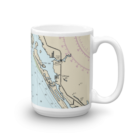
Palm Island Cape Haze Stump Pass Chart Mug
From: $18.95MIX, MATCH & SAVE! UP TO 25% OFFDistance from your search: 240.8mi -
 11oz From $14.21 15oz From $16.46
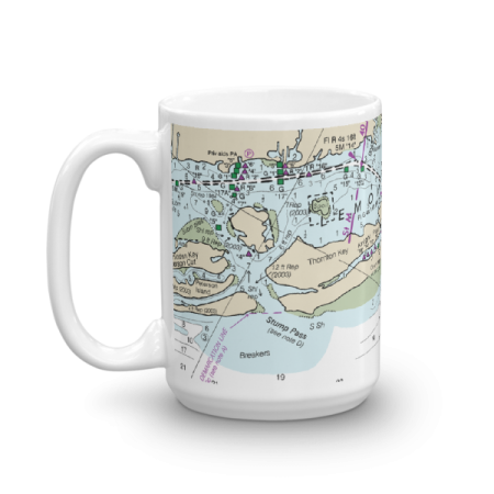
Palm Island Cape Haze Chart Mug
From: $18.95MIX, MATCH & SAVE! UP TO 25% OFFDistance from your search: 242.3mi -
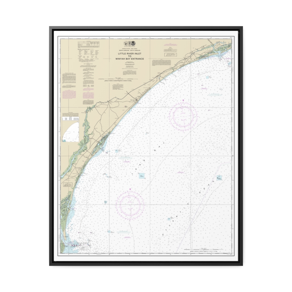
Little River lnlet to Winyah Bay Entrance Nautical Chart 11535 – Floating Frame Canvas
From: $184.95PREMIUM FLOATING FRAME CANVASDistance from your search: 243.3mi -
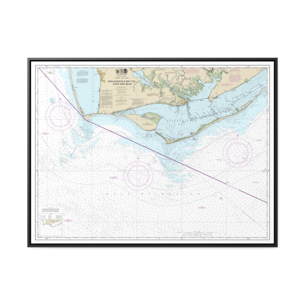
Apalachicola Bay to Cape San Blas Nautical Chart 11401 – Floating Frame Canvas
From: $184.95PREMIUM FLOATING FRAME CANVASDistance from your search: 243.5mi -
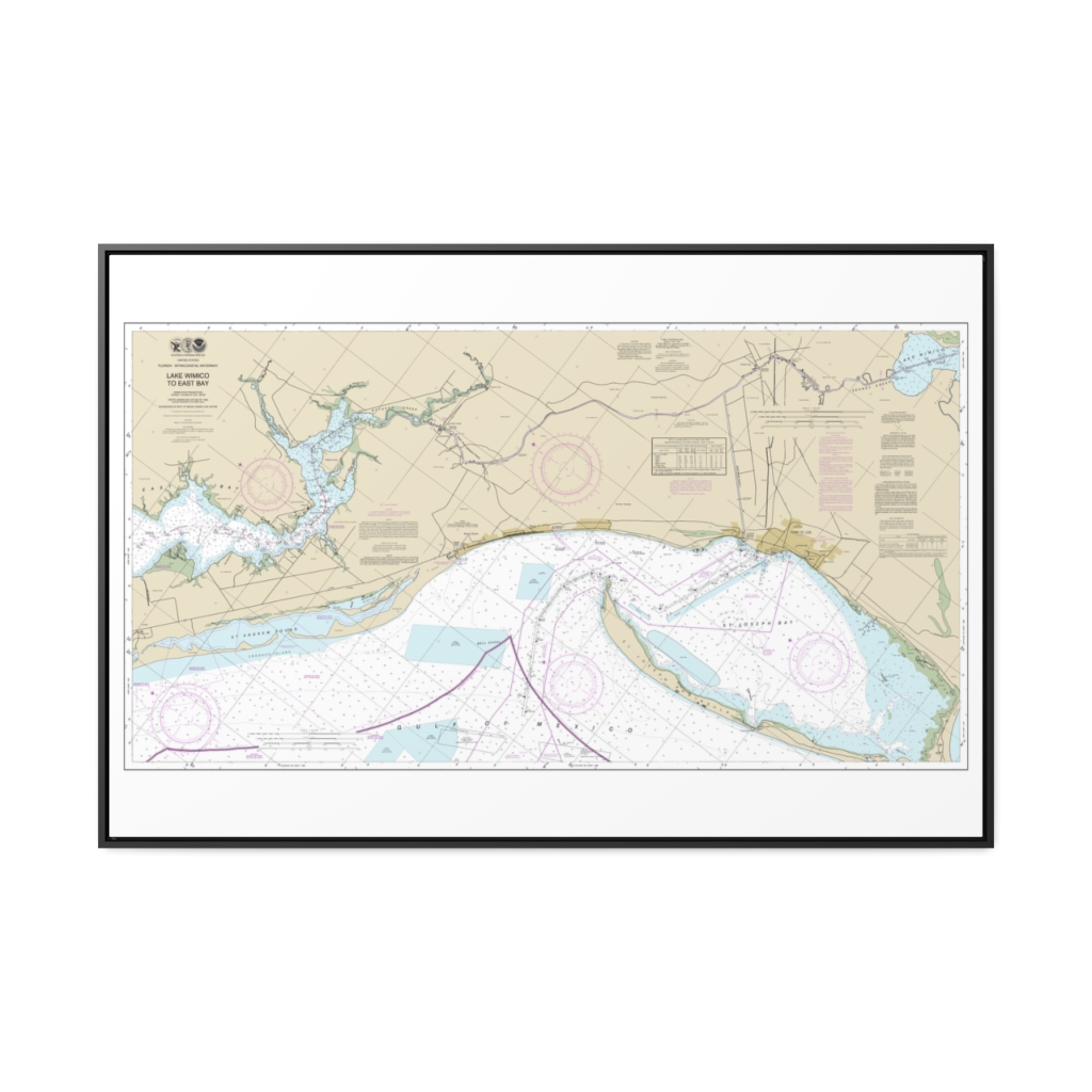
Intracoastal Waterway Lake Wimico to East Bay Nautical Chart 11393 – Floating Frame Canvas
From: $164.95PREMIUM FLOATING FRAME CANVASDistance from your search: 243.6mi -
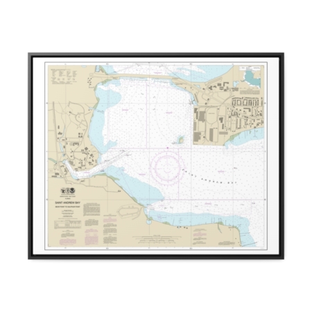
St. Andrew Bay – Bear Point to Sulpher Point Nautical Chart 11392 – Floating Frame Canvas
From: $184.95PREMIUM FLOATING FRAME CANVASDistance from your search: 245.4mi -
 11oz From $14.21 15oz From $16.46
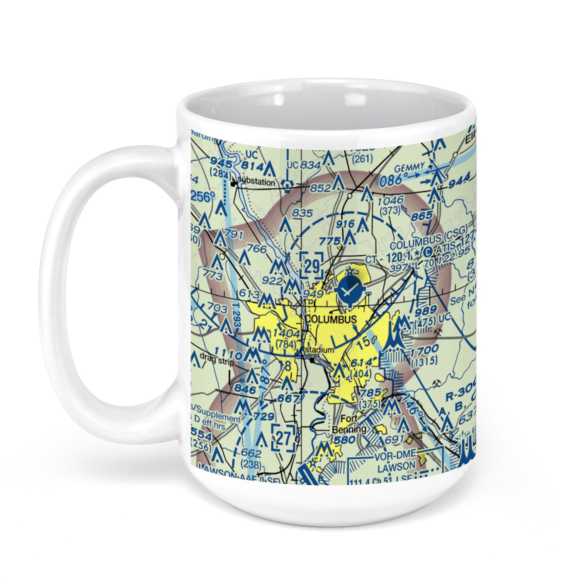
Columbus Airport, West Britt David Road, Columbus, GA, USA FAA Sectional Aeronautical Charts Chart Mug
From: $18.95MIX, MATCH & SAVE! UP TO 25% OFFDistance from your search: 245.5mi -
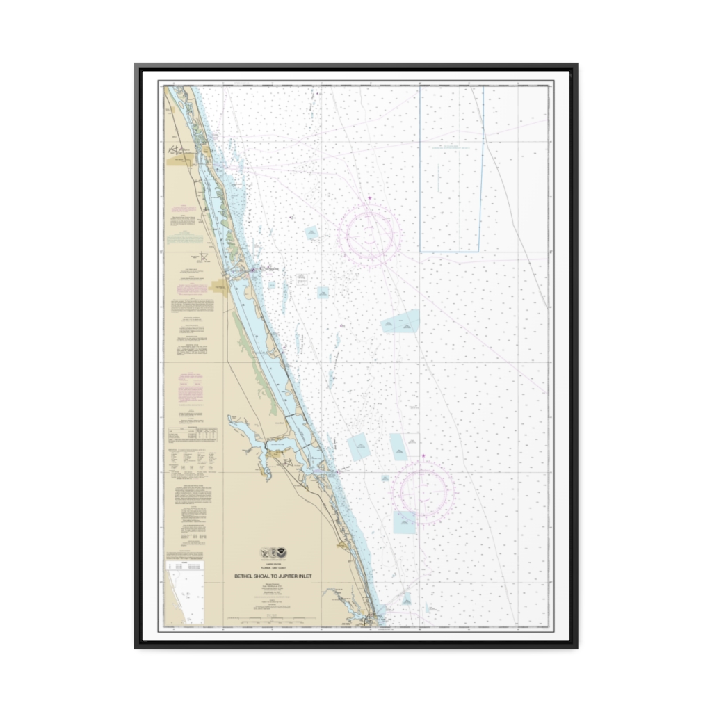
Bethel Shoal to Jupiter Inlet Nautical Chart 11474 – Floating Frame Canvas
From: $184.95PREMIUM FLOATING FRAME CANVASDistance from your search: 246.2mi -
 11oz From $14.21 15oz From $16.46
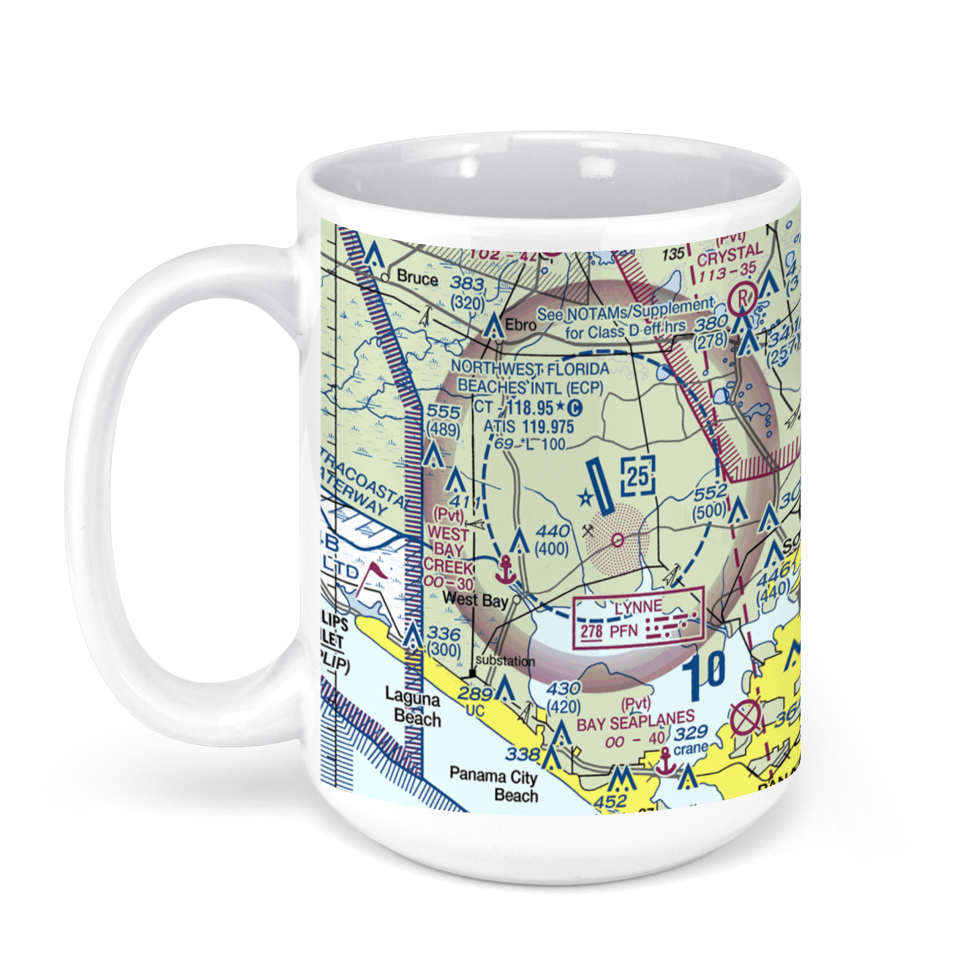
Northwest Florida Beaches International Airport (ECP), West Bay Parkway, Panama City, FL, USA FAA Sectional Aeronautical Charts Chart Mug
From: $18.95MIX, MATCH & SAVE! UP TO 25% OFFDistance from your search: 247.1mi -
Distance from your search: 247.6mi
-
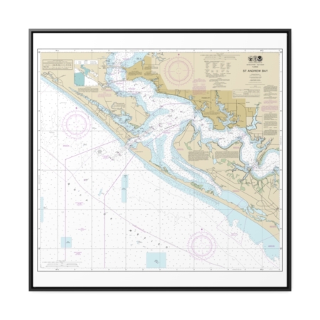
St. Andrew Bay Nautical Chart 11391 – Floating Frame Canvas
From: $139.95PREMIUM FLOATING FRAME CANVASDistance from your search: 249.5mi -
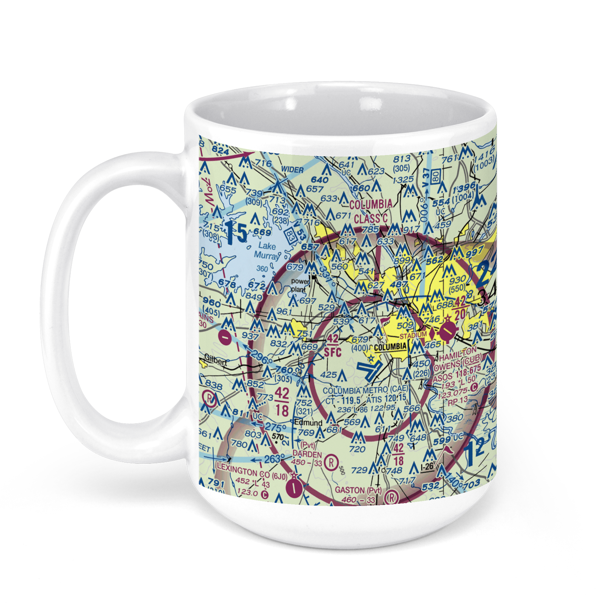 11oz From $14.21 15oz From $16.46
COLUMBIA airport (CAE), Airport Boulevard, West Columbia, SC, USA FAA Sectional Aeronautical Charts Chart Mug
From: $18.95MIX, MATCH & SAVE! UP TO 25% OFFDistance from your search: 251.4mi -
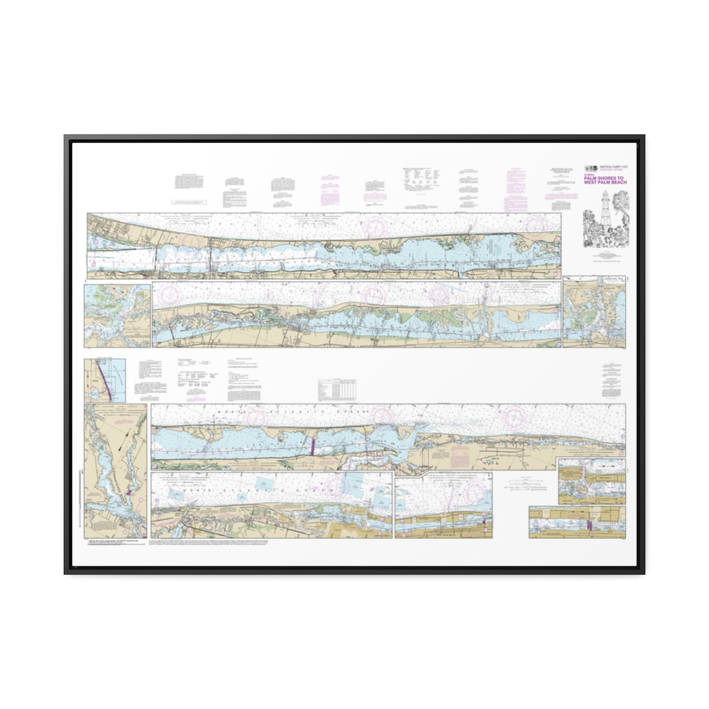
Intracoastal Waterway Palm Shores to West Palm Beach;Loxahatchee River Nautical Chart 11472 – Floating Frame Canvas
From: $164.95PREMIUM FLOATING FRAME CANVASDistance from your search: 252.4mi -
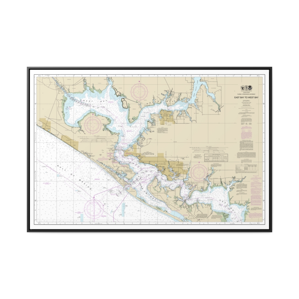
Intracoastal Waterway East Bay to West Bay Nautical Chart 11390 – Floating Frame Canvas
From: $164.95PREMIUM FLOATING FRAME CANVASDistance from your search: 254.5mi -
Distance from your search: 255.4mi
-
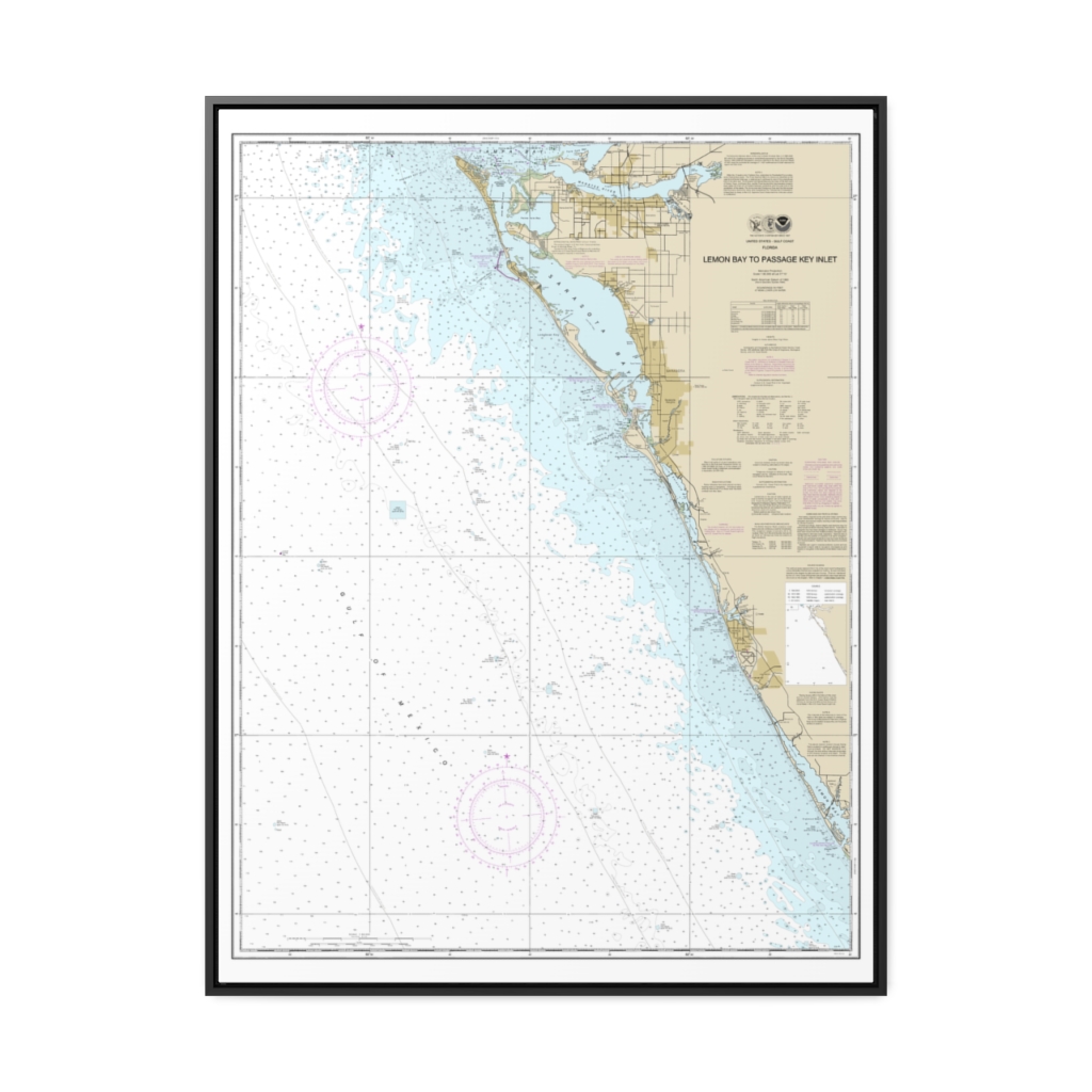
Lemon Bay to Passage Key Inlet Nautical Chart 11424 – Floating Frame Canvas
From: $184.95PREMIUM FLOATING FRAME CANVASDistance from your search: 256.6mi -
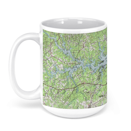 11oz From $14.21 15oz From $16.46
Lake Murray, South Carolina, USA Historical USGS TOPO Chart Mug
From: $18.95MIX, MATCH & SAVE! UP TO 25% OFFDistance from your search: 258.2mi -
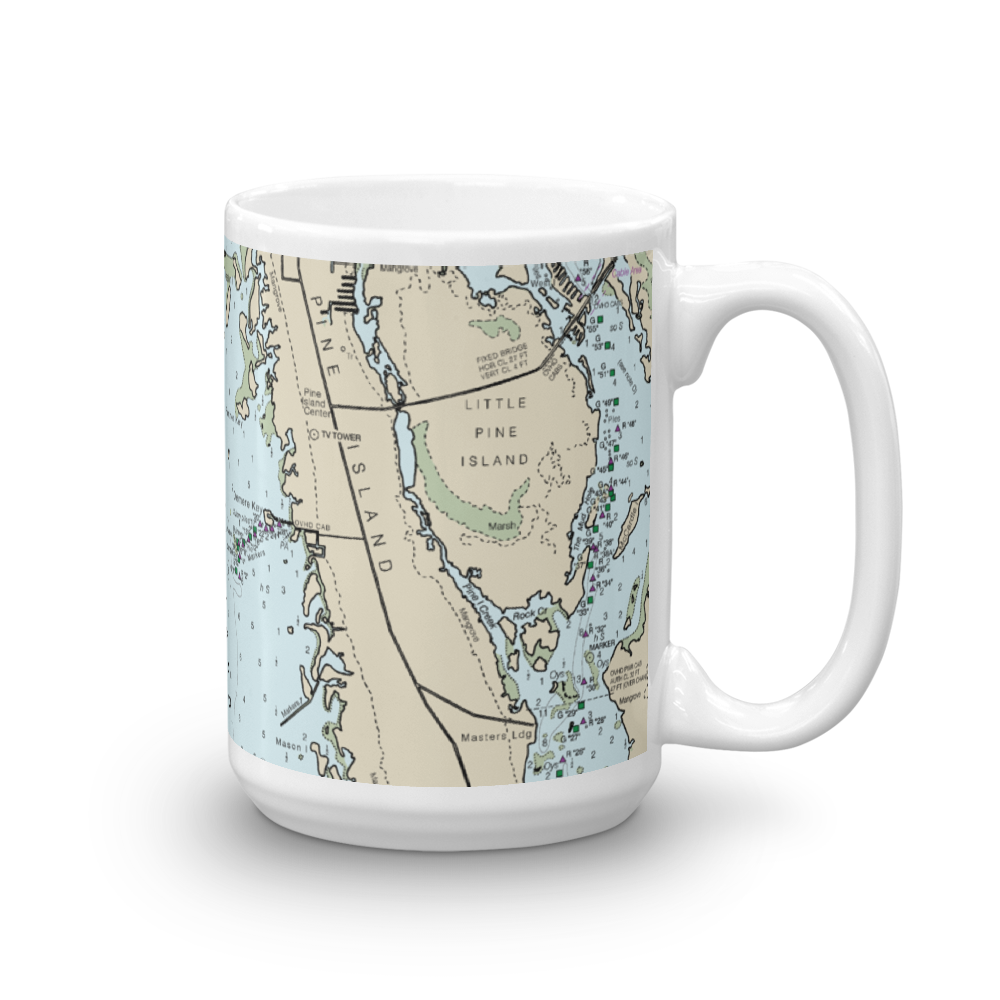 11oz From $14.21 15oz From $16.46
Pine Island & North Captiva Island Nautical Chart Mug
From: $18.95MIX, MATCH & SAVE! UP TO 25% OFFDistance from your search: 259.7mi -
Distance from your search: 259.7mi
-
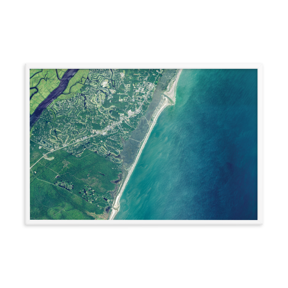
Pawleys Island Premium Luster Hardwood Framed Satellite Aerial
From: $43.50HARDWOOD FRAMED WHITE & BLACKDistance from your search: 260.8mi -
Distance from your search: 260.8mi
-
Distance from your search: 260.8mi