- Display 24 Products per page
-
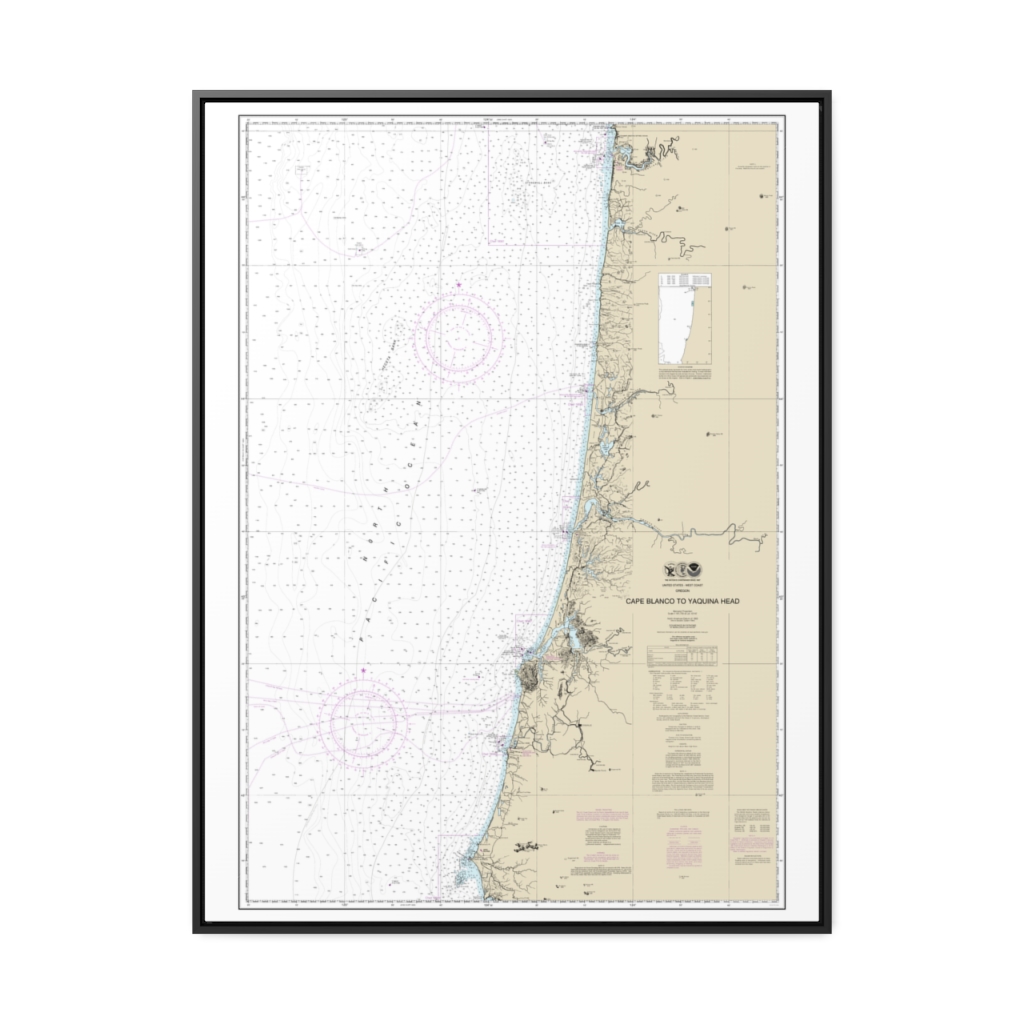
Cape Blanco to Yaquina Head Nautical Chart 18580 – Floating Frame Canvas
From: $184.95PREMIUM FLOATING FRAME CANVASDistance from your search: 2577.2mi -
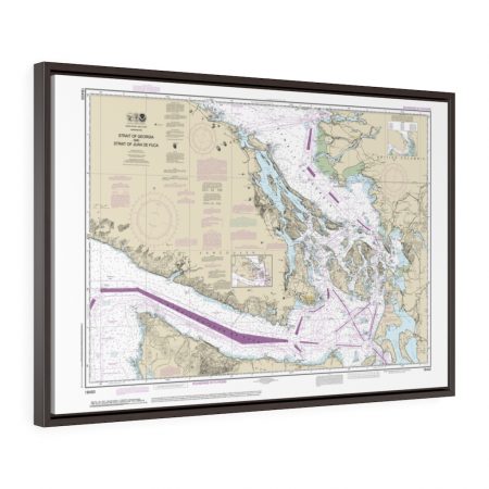
Strait of Georgia and Strait of Juan de Fuca Framed Wrapped Canvas Nautical Chart 18400
From: $124.95PREMIUM FLOATING FRAME CANVASDistance from your search: 2590.5mi -
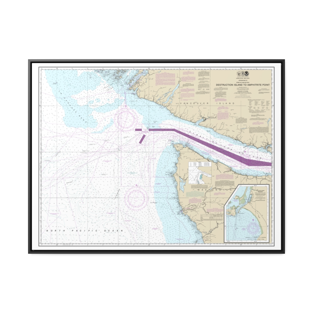
Approaches to Strait of Juan de Fuca Destruction lsland to Amphitrite Point Nautical Chart 18480 – Floating Frame Canvas
From: $184.95PREMIUM FLOATING FRAME CANVASDistance from your search: 2600.6mi -
Distance from your search: 2608mi
-
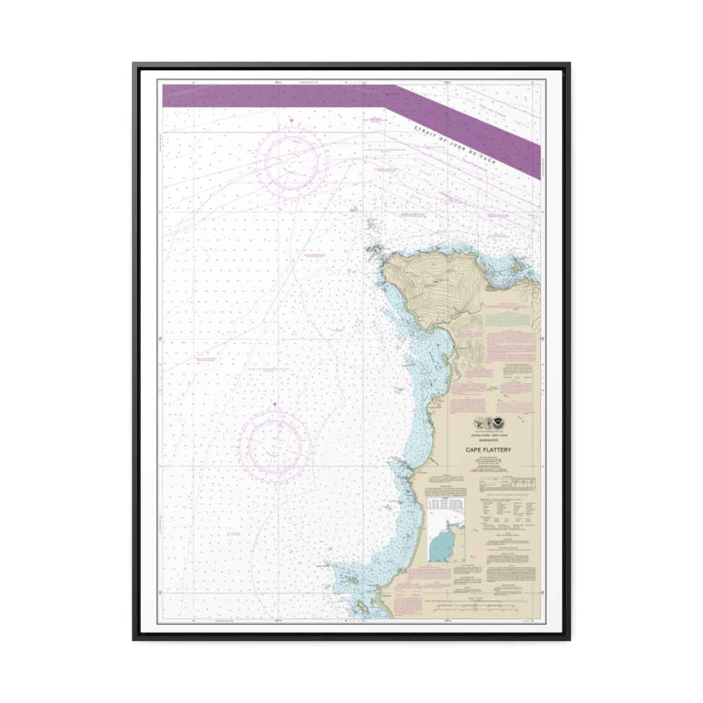
Cape Flattery Nautical Chart 18485 – Floating Frame Canvas
From: $184.95PREMIUM FLOATING FRAME CANVASDistance from your search: 2617.8mi -
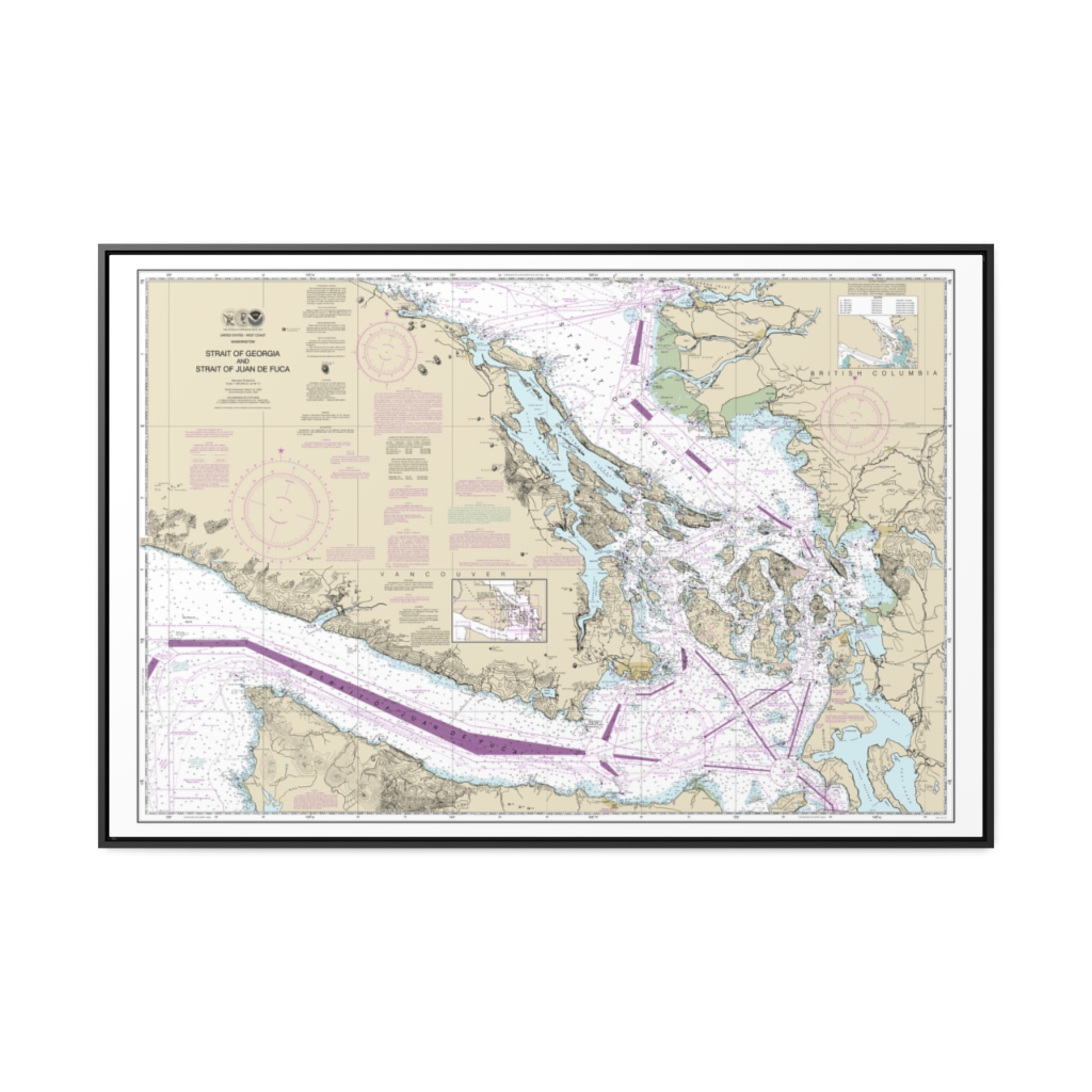
Strait of Georgia and Strait of Juan de Fuca Nautical Chart 18400 – Floating Frame Canvas
From: $164.95PREMIUM FLOATING FRAME CANVASDistance from your search: 2624mi -
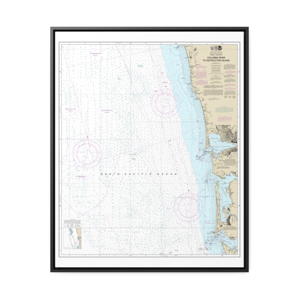
Columbia River to Destruction Island Nautical Chart 18500 – Floating Frame Canvas
From: $184.95PREMIUM FLOATING FRAME CANVASDistance from your search: 2628.1mi -
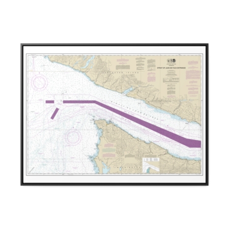
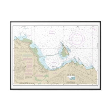
Stait of Juan de Fuca Entrance Nautical Chart 18460 – Floating Frame Canvas
From: $184.95PREMIUM FLOATING FRAME CANVASDistance from your search: 2632.7mi -
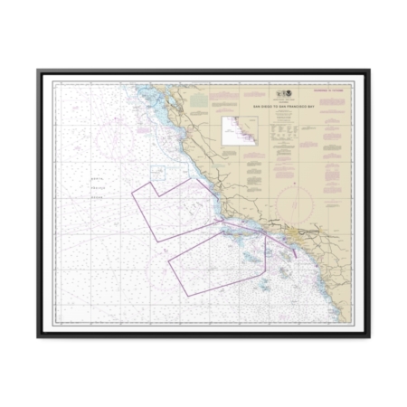
San Diego to San Francisco Bay Nautical Chart 18022 – Floating Frame Canvas
From: $184.95PREMIUM FLOATING FRAME CANVASDistance from your search: 2651.9mi -
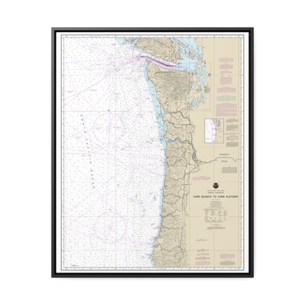
Cape Blanco to Cape Flattery Nautical Chart 18003 – Floating Frame Canvas
From: $184.95PREMIUM FLOATING FRAME CANVASDistance from your search: 2715.3mi -
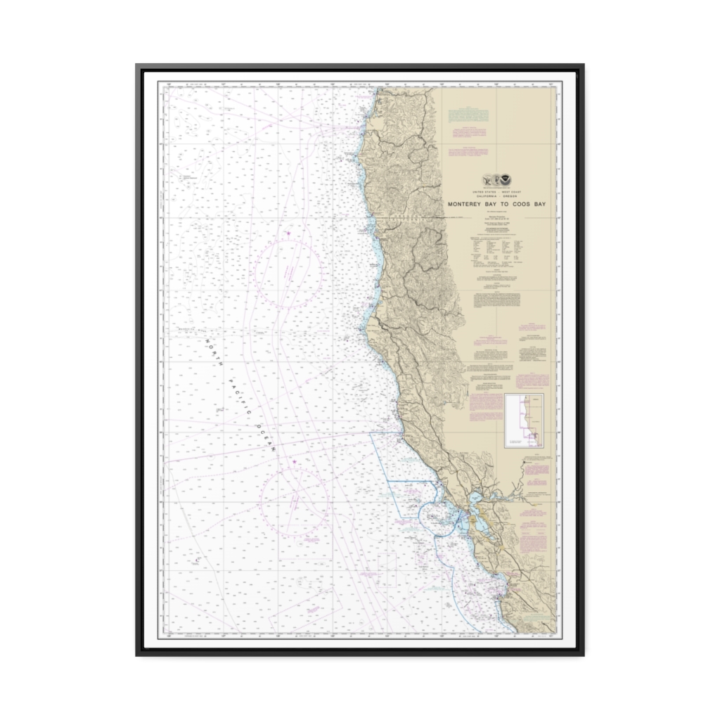
Monterey Bay to Coos Bay Nautical Chart 18010 – Floating Frame Canvas
From: $184.95PREMIUM FLOATING FRAME CANVASDistance from your search: 2721.8mi -
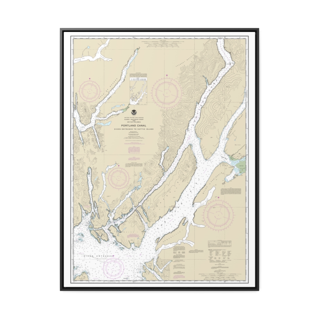
Portland Canal – Dixon Entrance to Hattie I. Nautical Chart 17427 – Floating Frame Canvas
From: $184.95PREMIUM FLOATING FRAME CANVASDistance from your search: 2970.1mi -
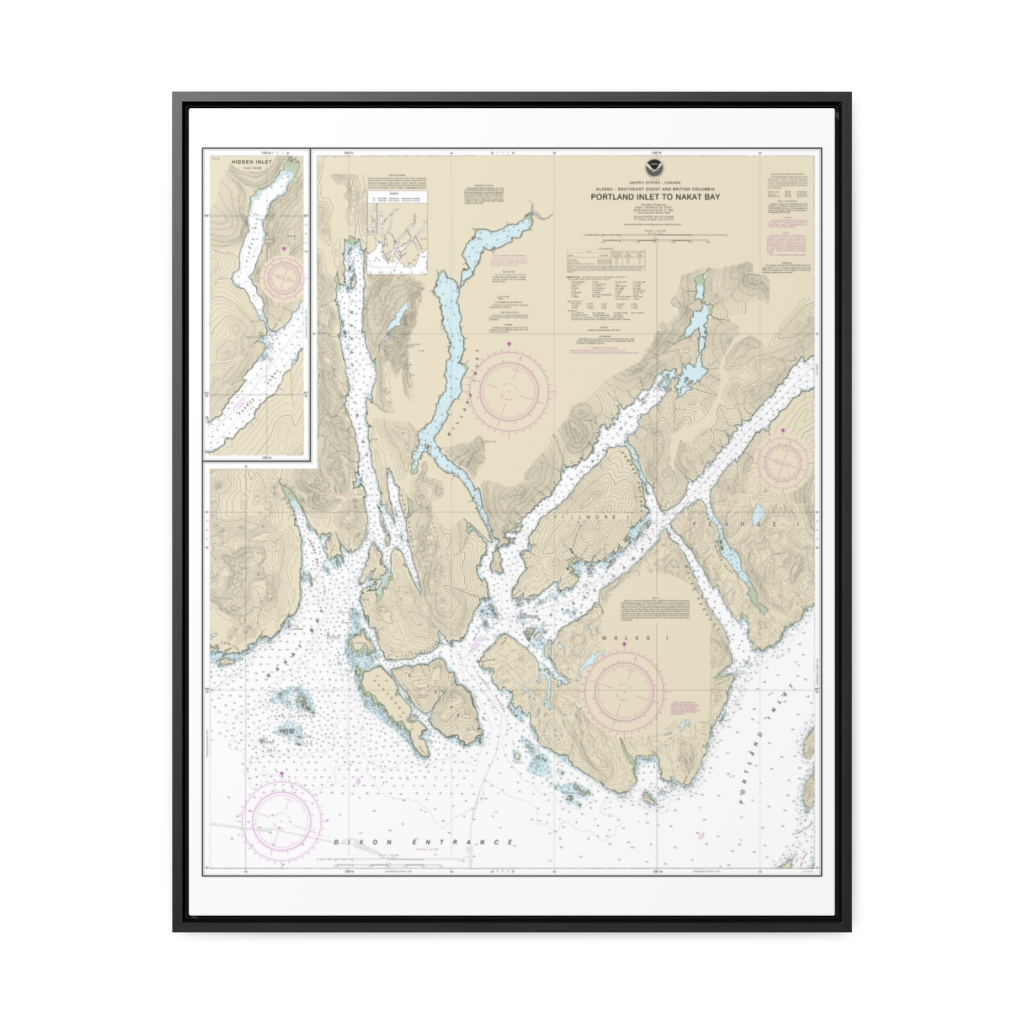
Portland Inlet to Nakat Bay Nautical Chart 17437 – Floating Frame Canvas
From: $184.95PREMIUM FLOATING FRAME CANVASDistance from your search: 2972.4mi -
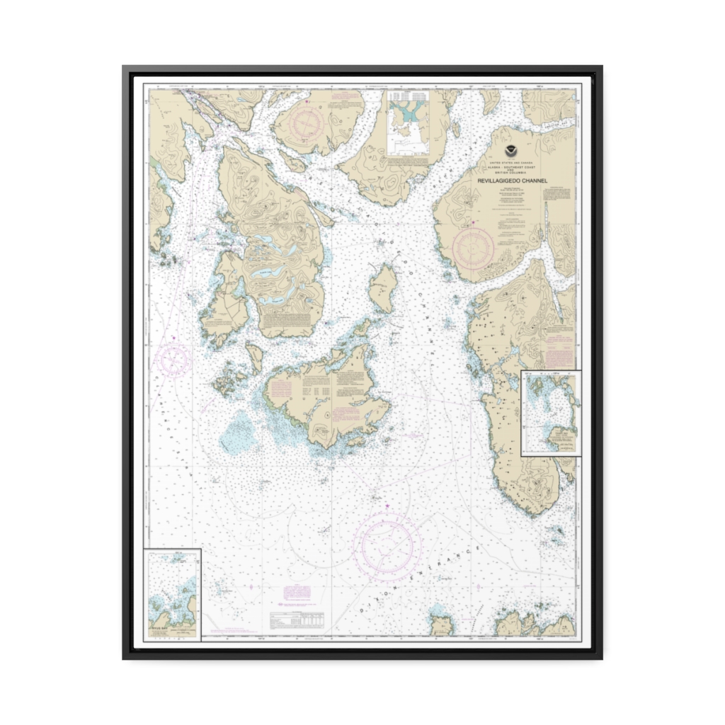
Revillagigedo Channel;Ryus Bay;Foggy Bay Nautical Chart 17434 – Floating Frame Canvas
From: $184.95PREMIUM FLOATING FRAME CANVASDistance from your search: 2999.4mi -
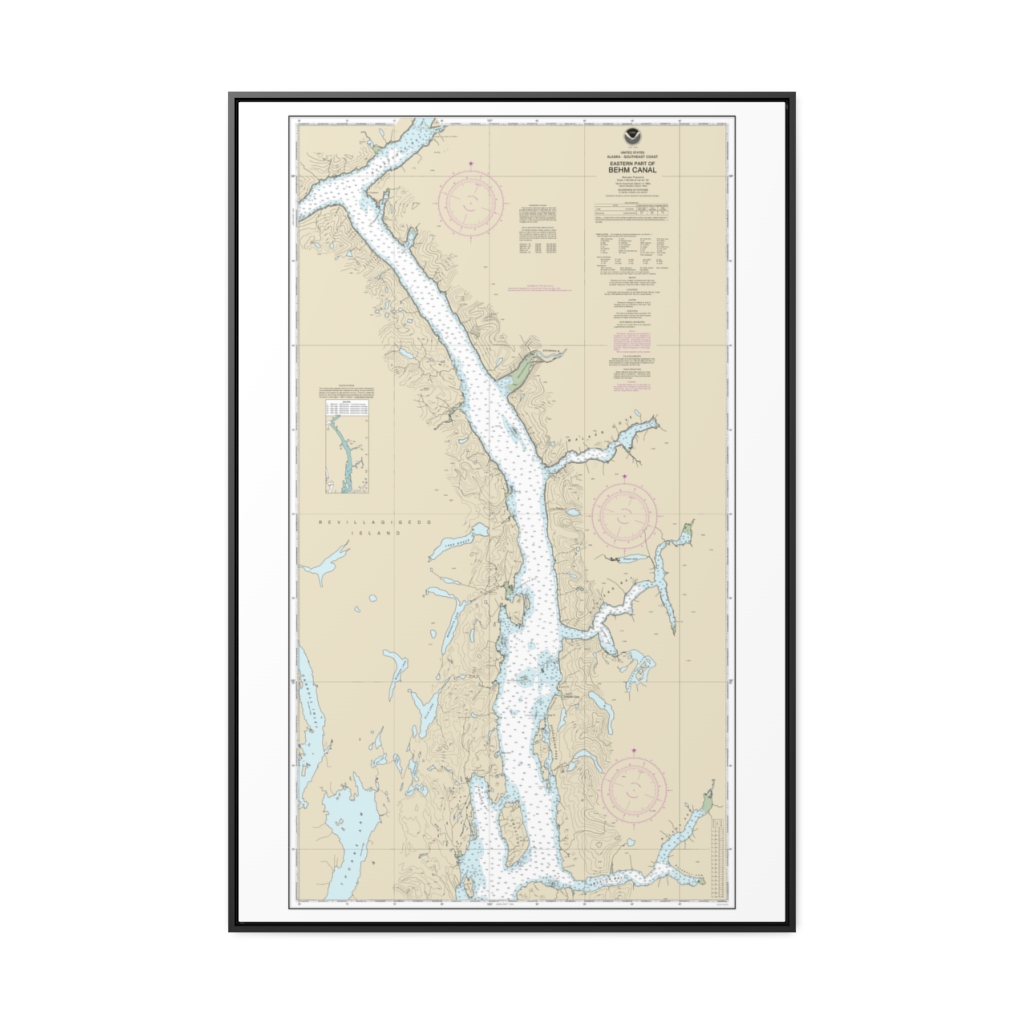
Behm Canal-eastern part Nautical Chart 17424 – Floating Frame Canvas
From: $164.95PREMIUM FLOATING FRAME CANVASDistance from your search: 3001.2mi -
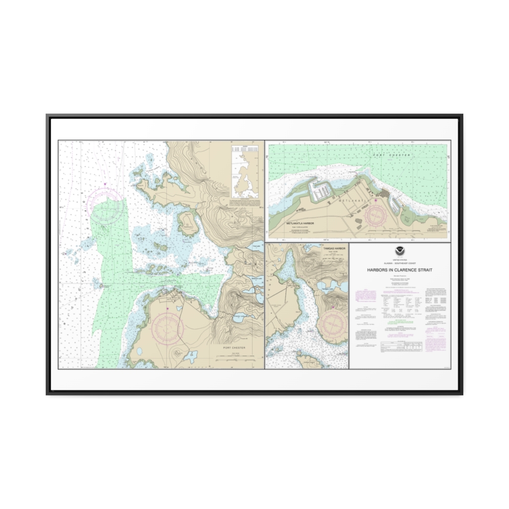
Harbors in Clarence Strait Port Chester, Annette Island Tamgas Harbor, Annette Island Metlakatla Harbor Nautical Chart 17435 – Floating Frame Canvas
From: $164.95PREMIUM FLOATING FRAME CANVASDistance from your search: 3008.4mi -
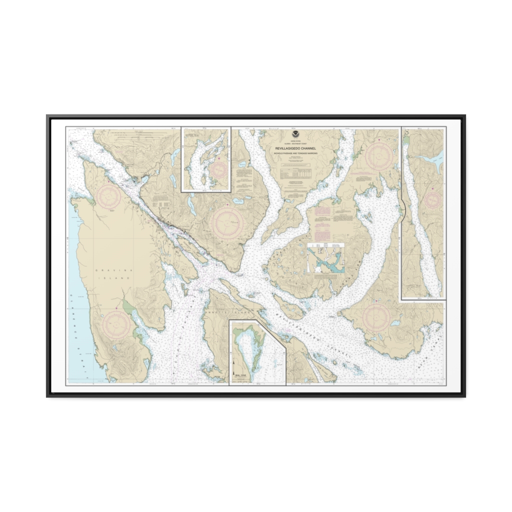
Revillagigedo Channel, Nichols Passage, and Tongass Narrows Seal Cove Ward Cove Nautical Chart 17428 – Floating Frame Canvas
From: $164.95PREMIUM FLOATING FRAME CANVASDistance from your search: 3014.5mi -
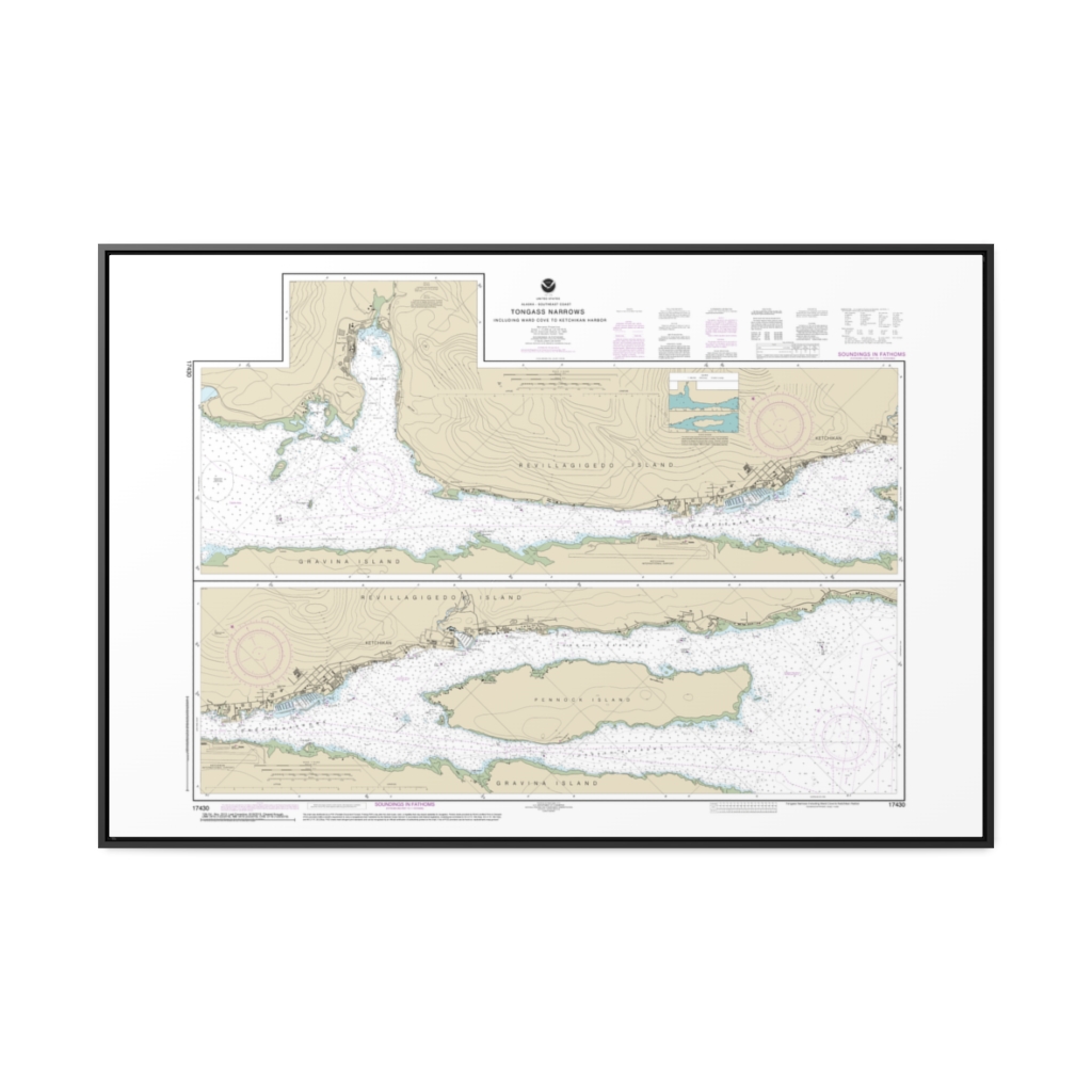
Tongass Narrows Nautical Chart 17430 – Floating Frame Canvas
From: $164.95PREMIUM FLOATING FRAME CANVASDistance from your search: 3015.7mi -
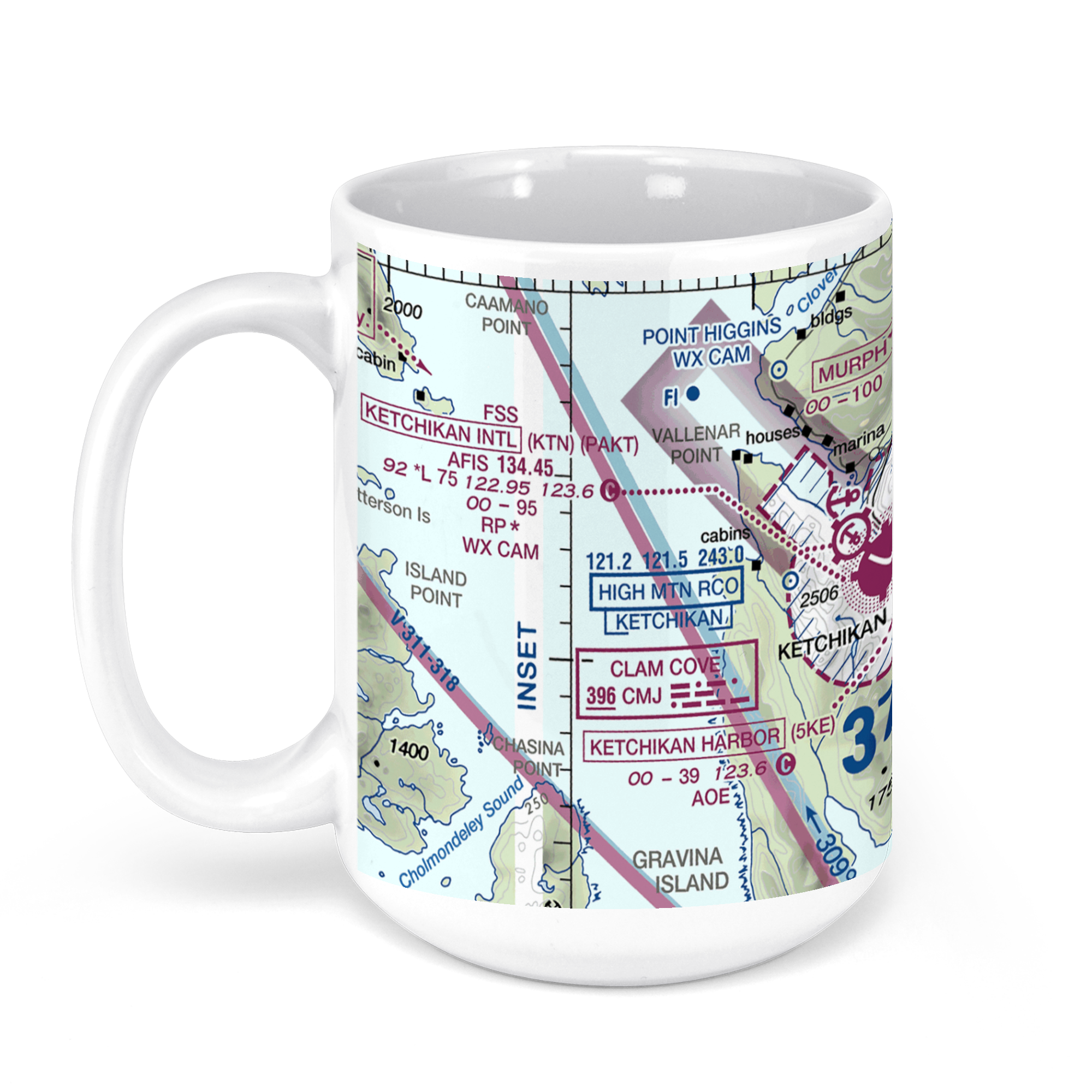 11oz From $14.21 15oz From $16.46
Ketchikan International Airport, Alaska, USA FAA Sectional Aeronautical Charts Chart Mug
From: $18.95MIX, MATCH & SAVE! UP TO 25% OFFDistance from your search: 3016.7mi -
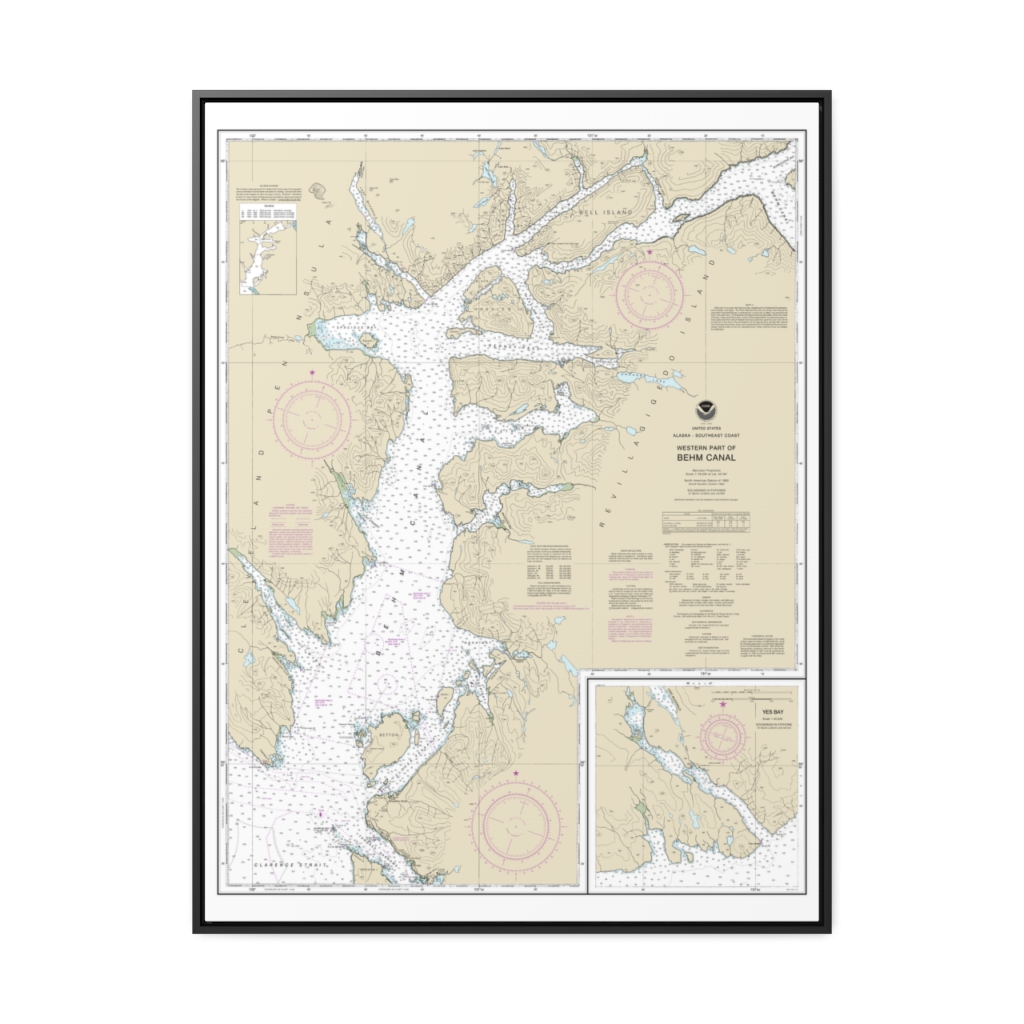
Behm Canal-western part Yes Bay Nautical Chart 17422 – Floating Frame Canvas
From: $184.95PREMIUM FLOATING FRAME CANVASDistance from your search: 3031.6mi -
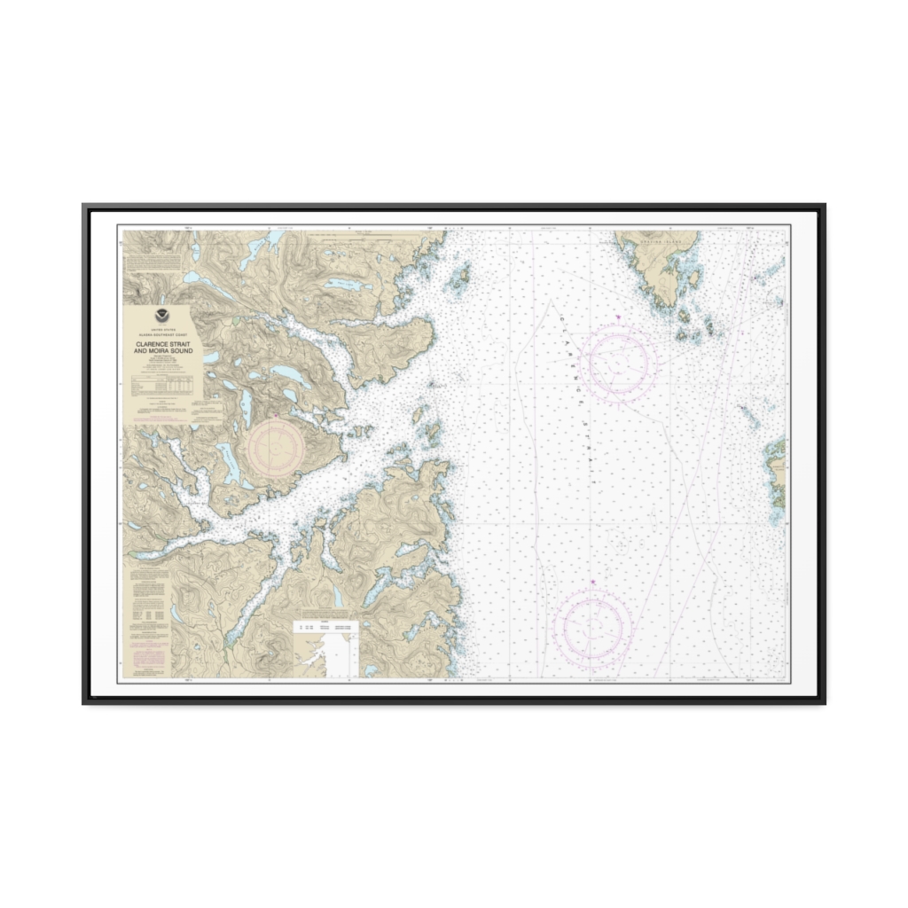
Clarence Strait and Moira Sound Nautical Chart 17432 – Floating Frame Canvas
From: $164.95PREMIUM FLOATING FRAME CANVASDistance from your search: 3032.7mi -
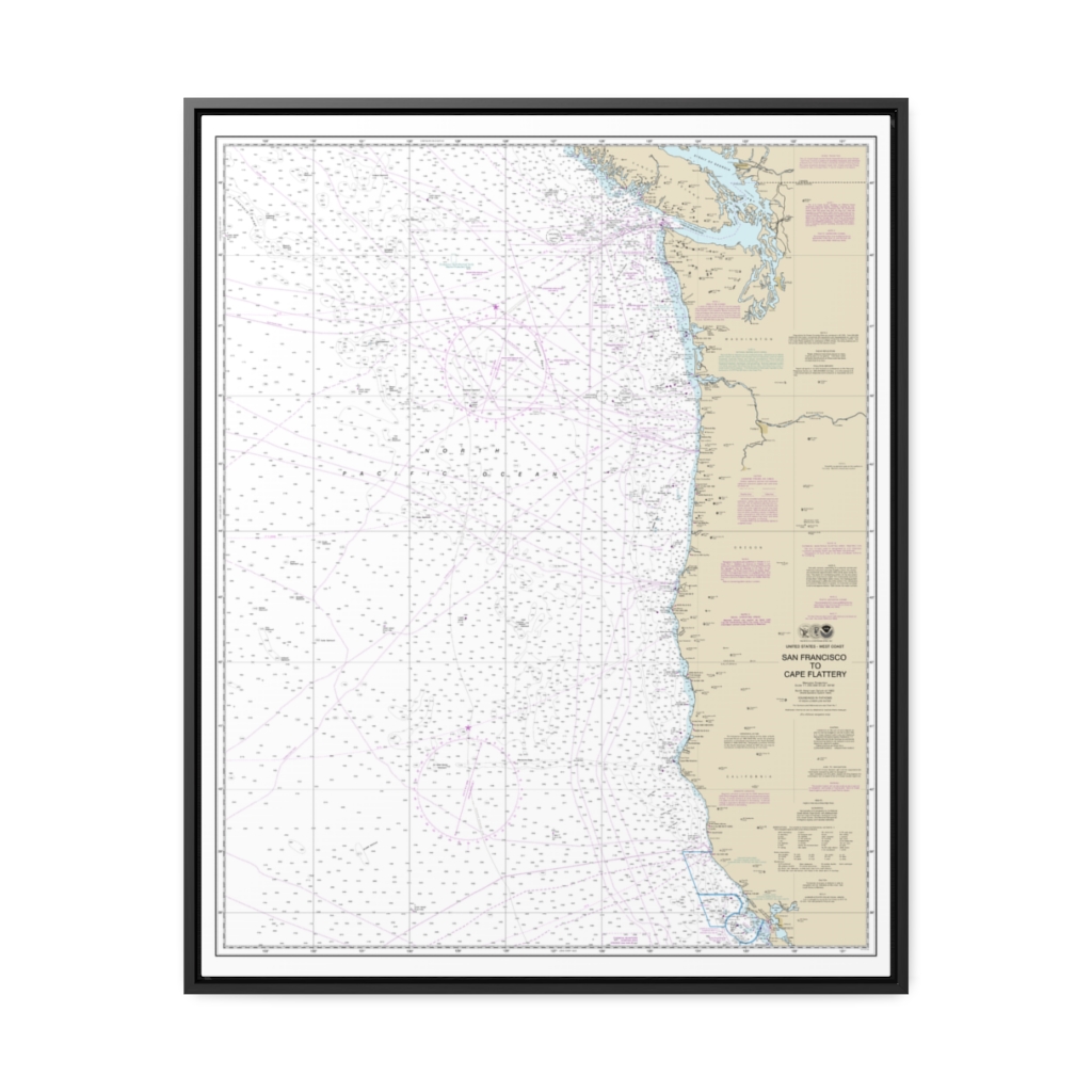
San Francisco to Cape Flattery Nautical Chart 18007 – Floating Frame Canvas
From: $184.95PREMIUM FLOATING FRAME CANVASDistance from your search: 3033.9mi -
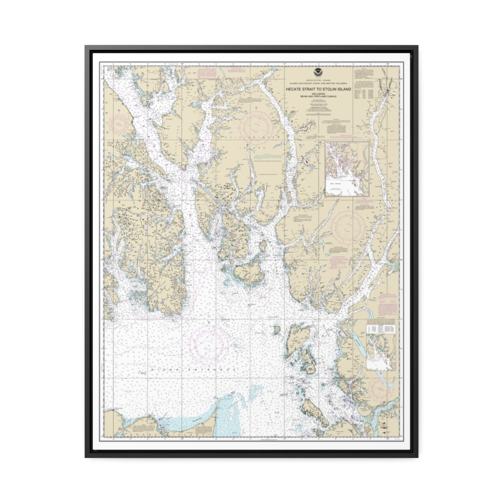
Hecate Strait to Etolin Island, including Behm and Portland Canals Nautical Chart 17420 – Floating Frame Canvas
From: $184.95PREMIUM FLOATING FRAME CANVASDistance from your search: 3035.9mi -
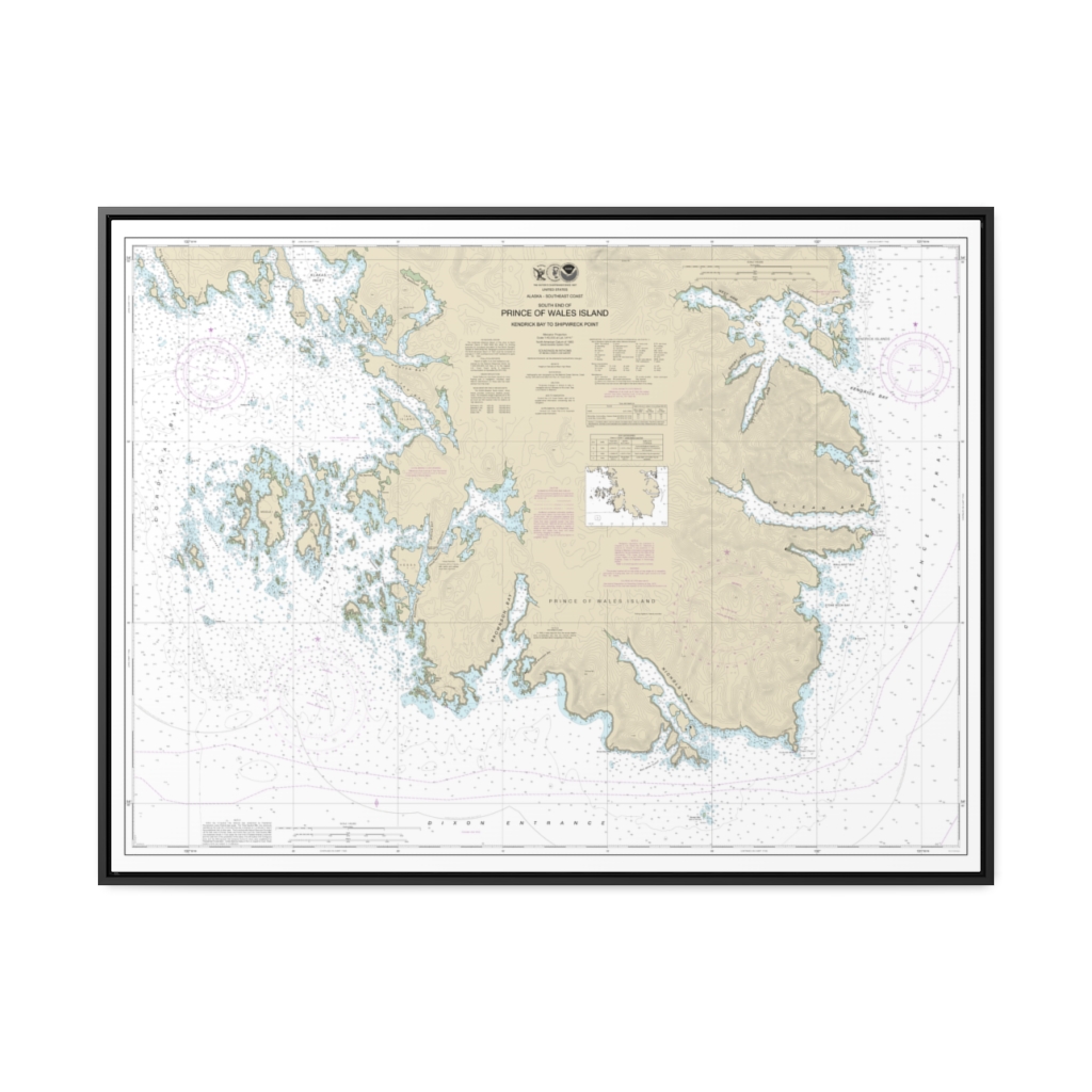
Kendrick Bay to SHipwreck Point, Prince of Wales Island Nautical Chart 17433 – Floating Frame Canvas
From: $184.95PREMIUM FLOATING FRAME CANVASDistance from your search: 3037.3mi

