- Display 24 Products per page
-
Distance from your search: 358.1mi
-
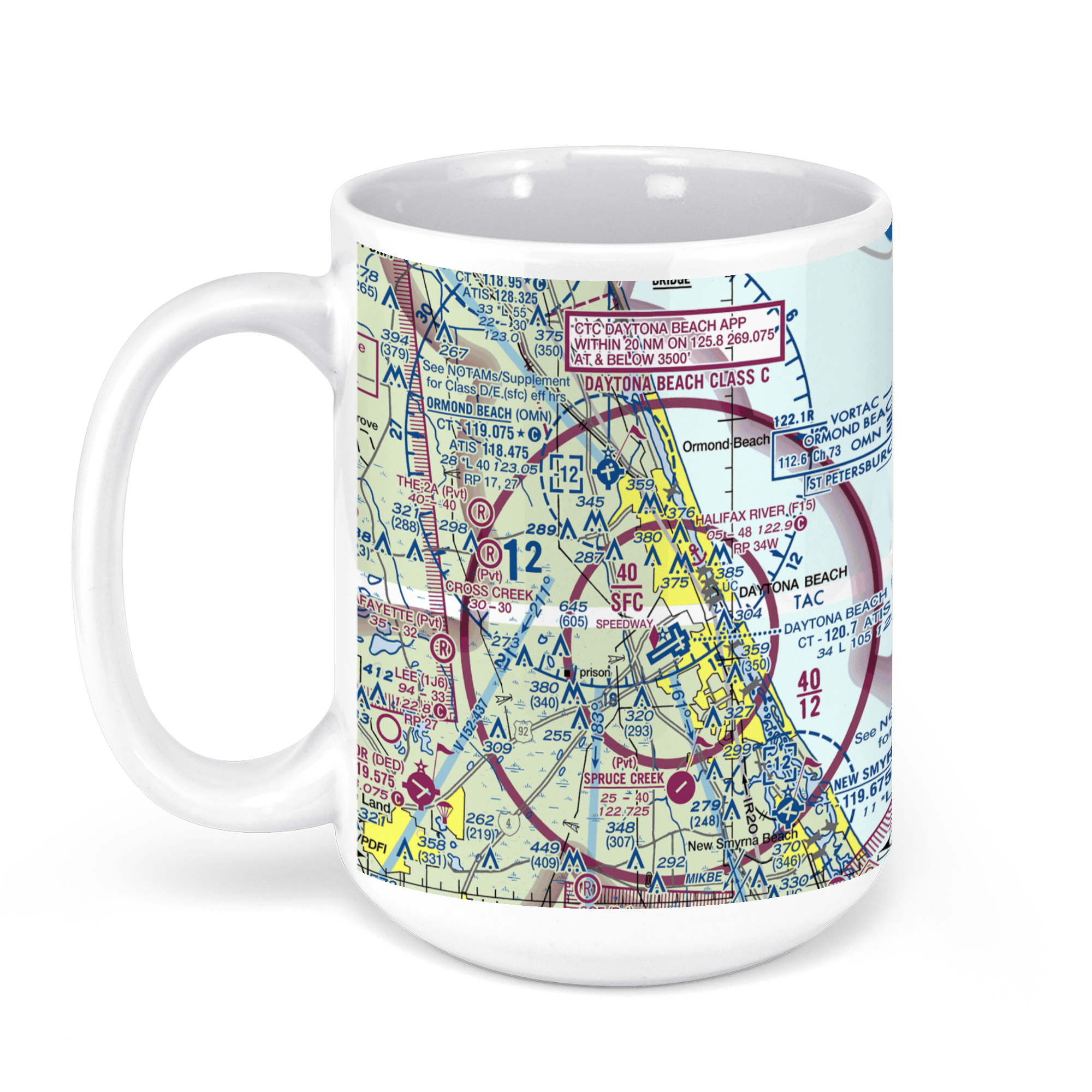 11oz From $14.21 15oz From $16.46
Daytona Beach International Airport, Daytona Beach, FL, USA FAA Sectional Aeronautical Charts Chart Mug
From: $18.95MIX, MATCH & SAVE! UP TO 25% OFFDistance from your search: 360mi -
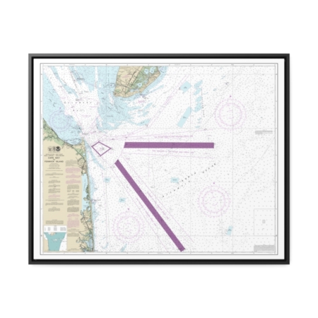
Cape May to Fenwick Island Nautical Chart 12214 – Floating Frame Canvas
From: $184.95PREMIUM FLOATING FRAME CANVASDistance from your search: 361.8mi -
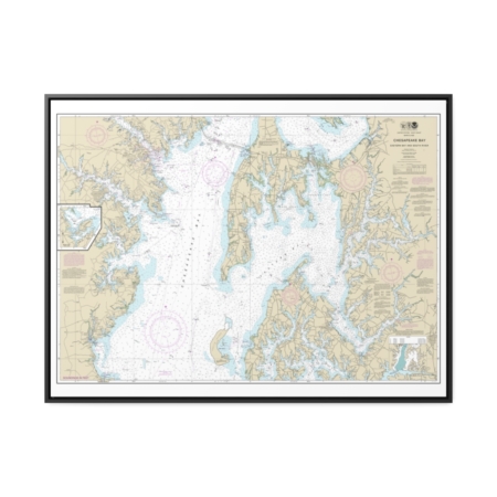
Chesapeake Bay Eastern Bay and South River Selby Bay Nautical Chart 12270 – Floating Frame Canvas
From: $184.95PREMIUM FLOATING FRAME CANVASDistance from your search: 361.9mi -
Distance from your search: 362mi
-
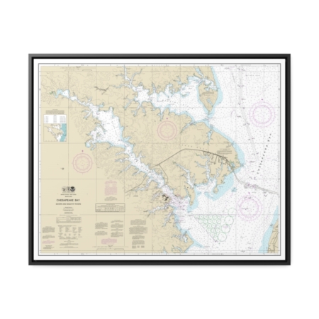
Chesapeake Bay Severn and Magothy Rivers Nautical Chart 12282 – Floating Frame Canvas
From: $184.95PREMIUM FLOATING FRAME CANVASDistance from your search: 362.6mi -
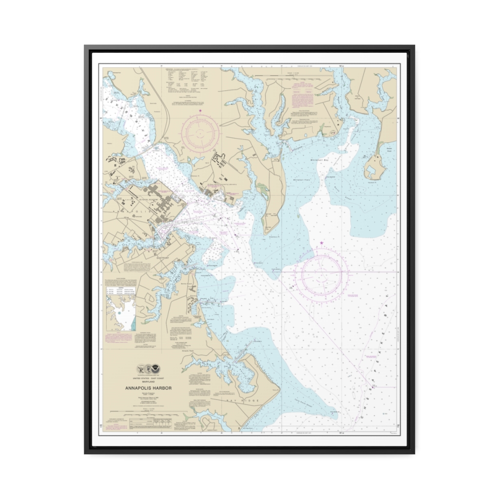
Annapolis Harbor Nautical Chart 12283 – Floating Frame Canvas
From: $184.95PREMIUM FLOATING FRAME CANVASDistance from your search: 364.8mi -
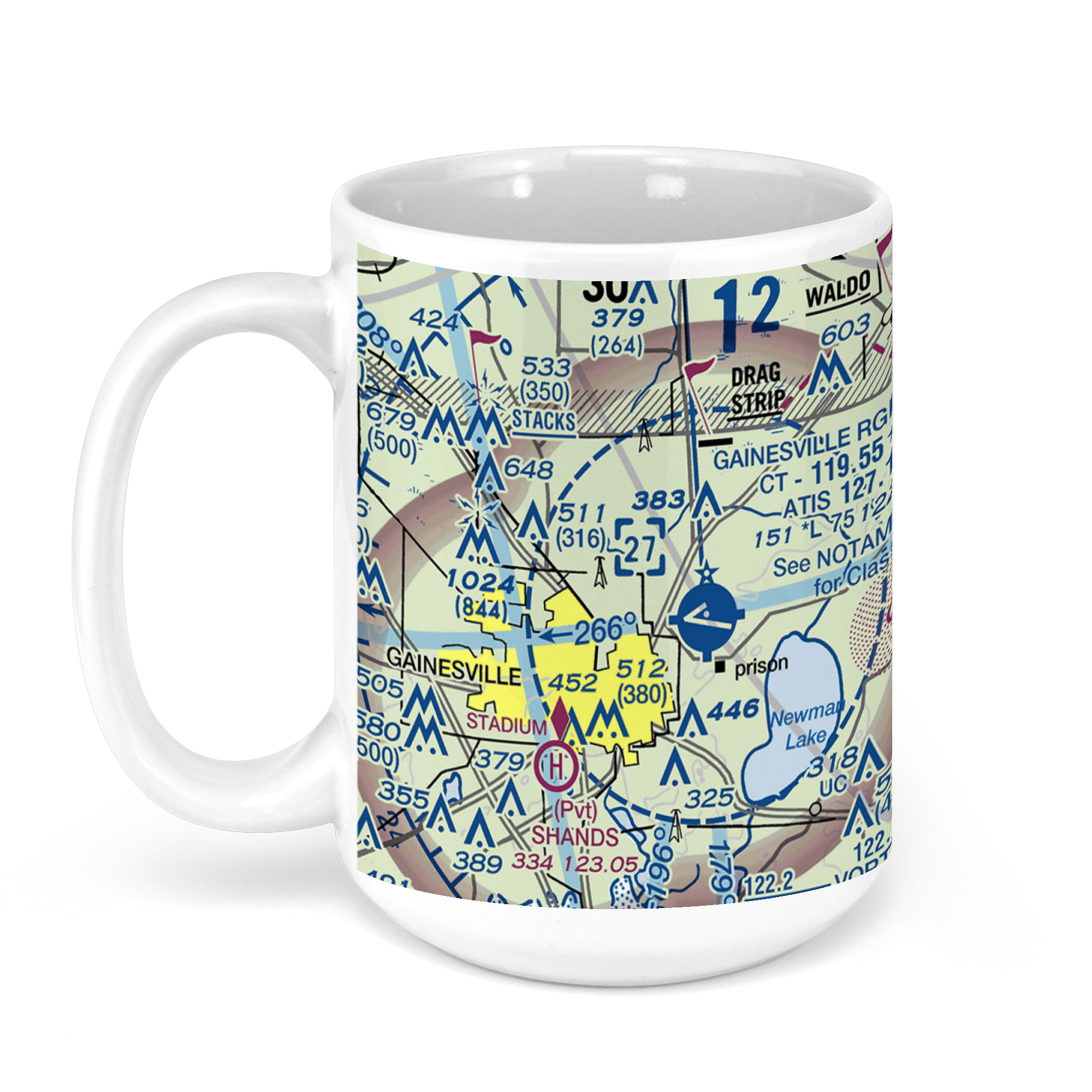 11oz From $14.21 15oz From $16.46
Gainesville Regional Airport, Northeast 39th Avenue, Gainesville, FL, USA FAA Sectional Aeronautical Charts Chart Mug
From: $18.95MIX, MATCH & SAVE! UP TO 25% OFFDistance from your search: 367.6mi -
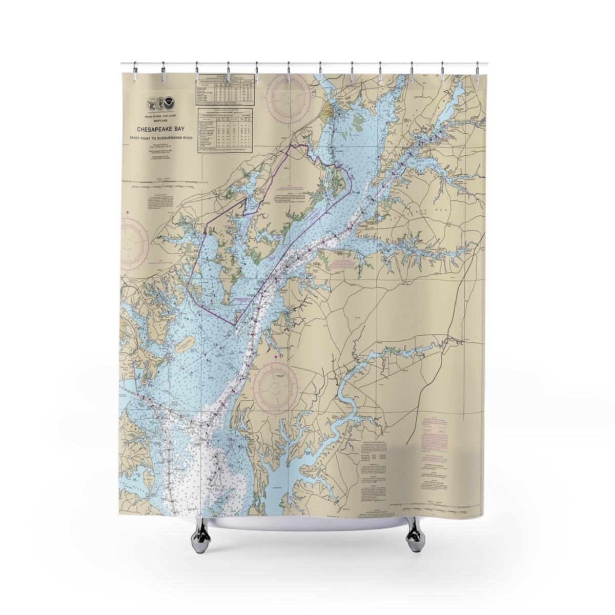
Chesapeake Bay Sandy Point to Susquehanna River Nautical Chart 12273 – Floating Frame Canvas
From: $139.95PREMIUM FLOATING FRAME CANVASDistance from your search: 367.8mi -
Chesapeake Bay Approaches to Baltimore Harbor Nautical Chart 12278 – Floating Frame Canvas
From: $184.95PREMIUM FLOATING FRAME CANVASDistance from your search: 367.8mi -
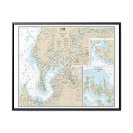
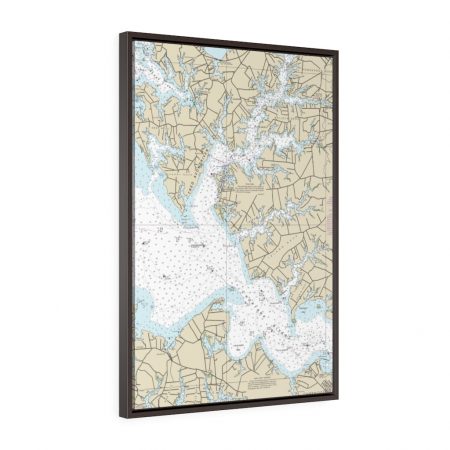
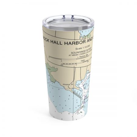
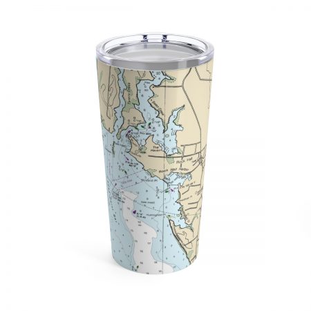
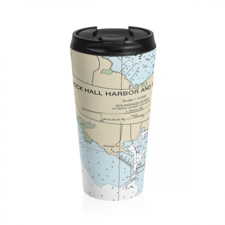
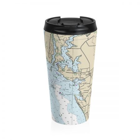
Chester River Kent Island Narrows, Rock Hall Harbor and Swan Creek Nautical Chart 12272 – Floating Frame Canvas
From: $184.95PREMIUM FLOATING FRAME CANVASDistance from your search: 370.4mi -
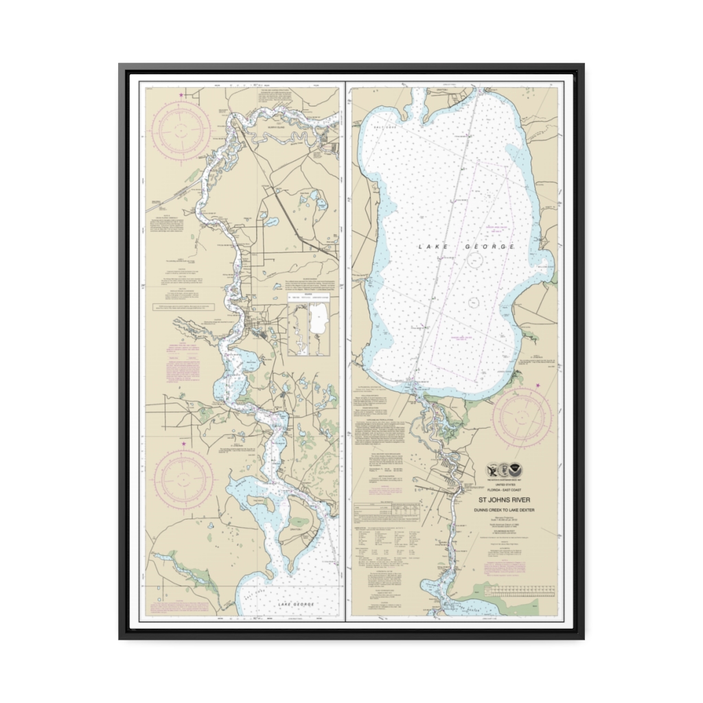
“St. Johns River Dunns Creek to Lake Dexter ” Nautical Chart 11495 – Floating Frame Canvas
From: $184.95PREMIUM FLOATING FRAME CANVASDistance from your search: 370.7mi -
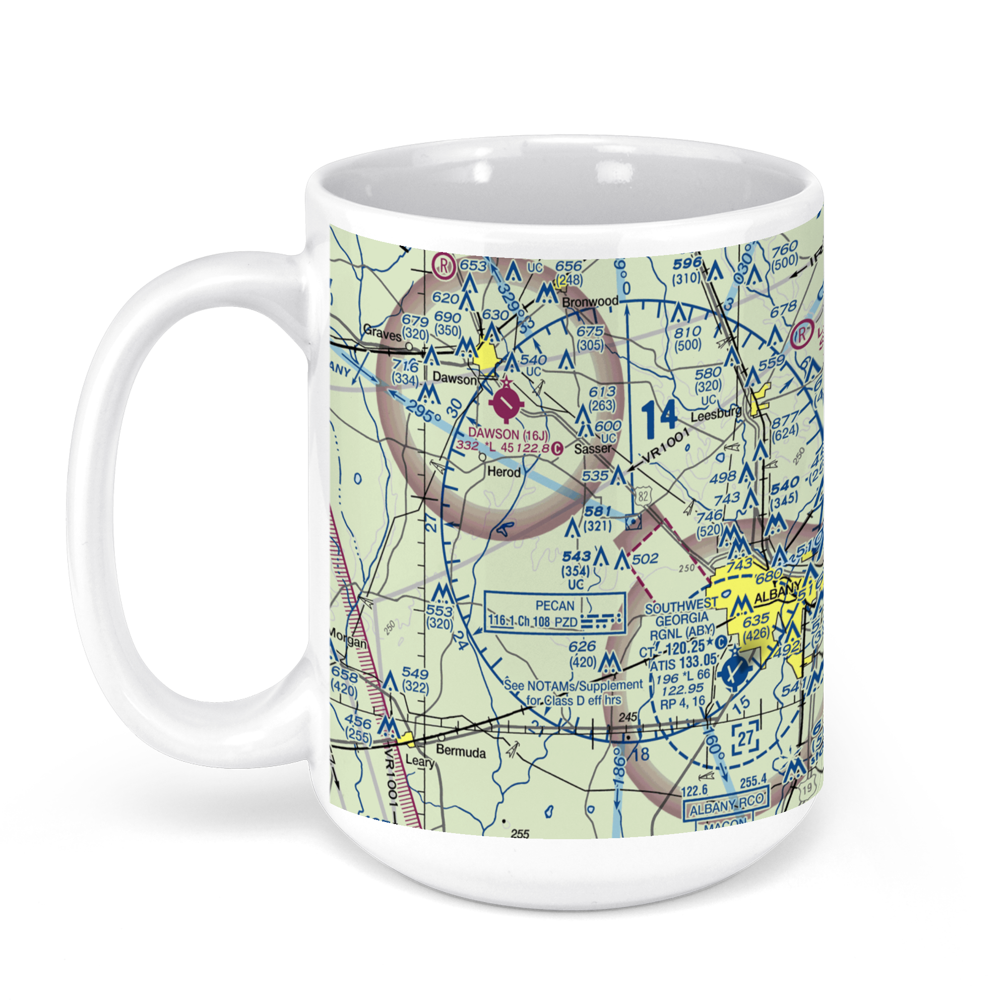 11oz From $14.21 15oz From $16.46
ABY – Southwest Georgia Regional Airport, Newton Road, Albany, GA, USA FAA Sectional Aeronautical Charts Chart Mug
From: $18.95MIX, MATCH & SAVE! UP TO 25% OFFDistance from your search: 371.8mi -
Distance from your search: 372.5mi
-
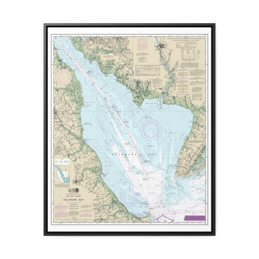
Delaware Bay Nautical Chart 12304 – Floating Frame Canvas
From: $184.95PREMIUM FLOATING FRAME CANVASDistance from your search: 373.8mi -
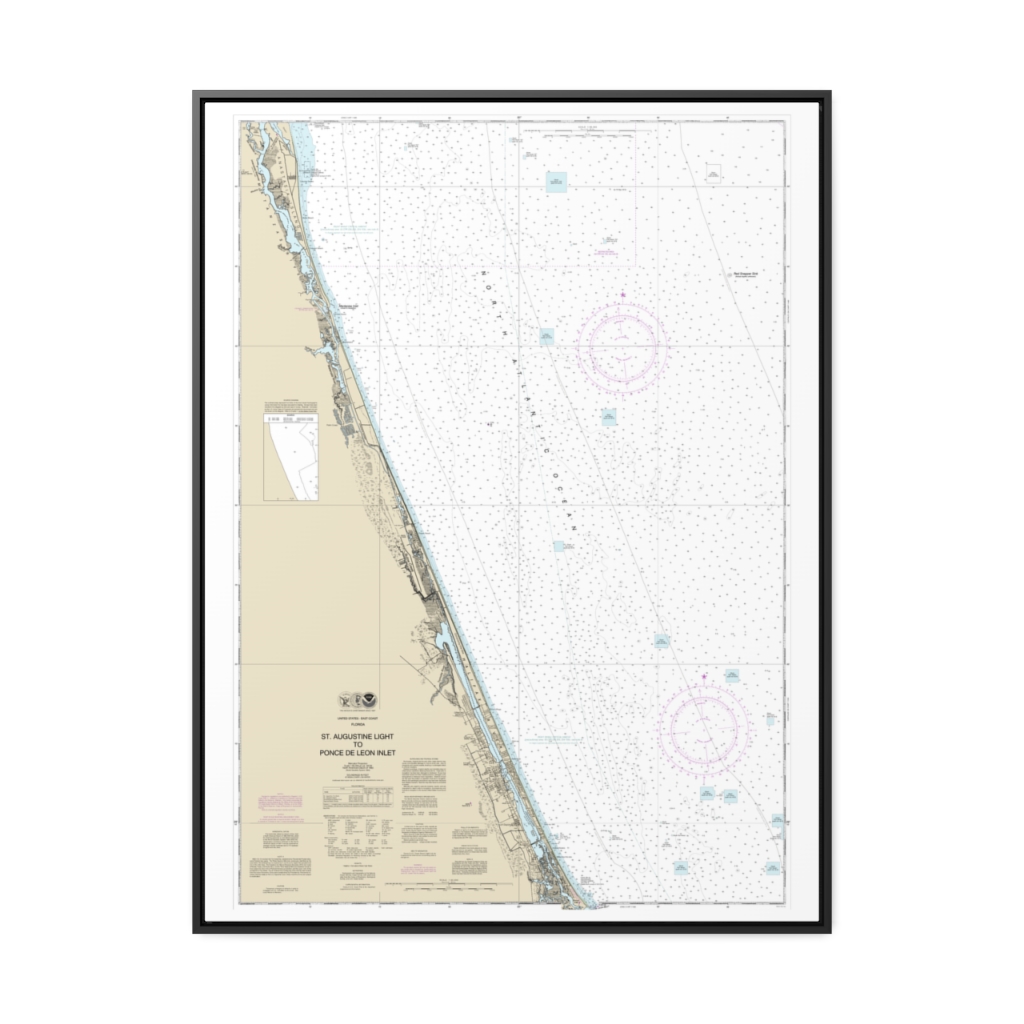
St. Augustine Light to Ponce de Leon Inlet Nautical Chart 11486 – Floating Frame Canvas
From: $184.95PREMIUM FLOATING FRAME CANVASDistance from your search: 373.9mi -
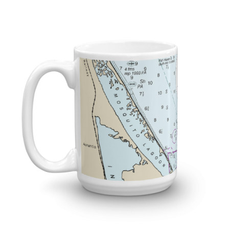 11oz From $14.21 15oz From $16.46
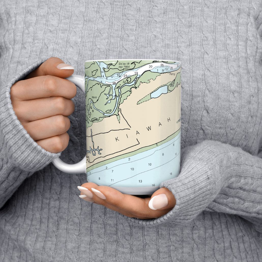
Mosquito Lagoon Chart Mug
From: $18.95MIX, MATCH & SAVE! UP TO 25% OFFDistance from your search: 375.8mi -
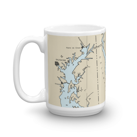 11oz From $14.21 15oz From $16.46
Upper Chesapeake Bay, C & D Canal, Upper Delaware Bay Nautical Chart Mug
From: $18.95MIX, MATCH & SAVE! UP TO 25% OFFDistance from your search: 377.3mi -
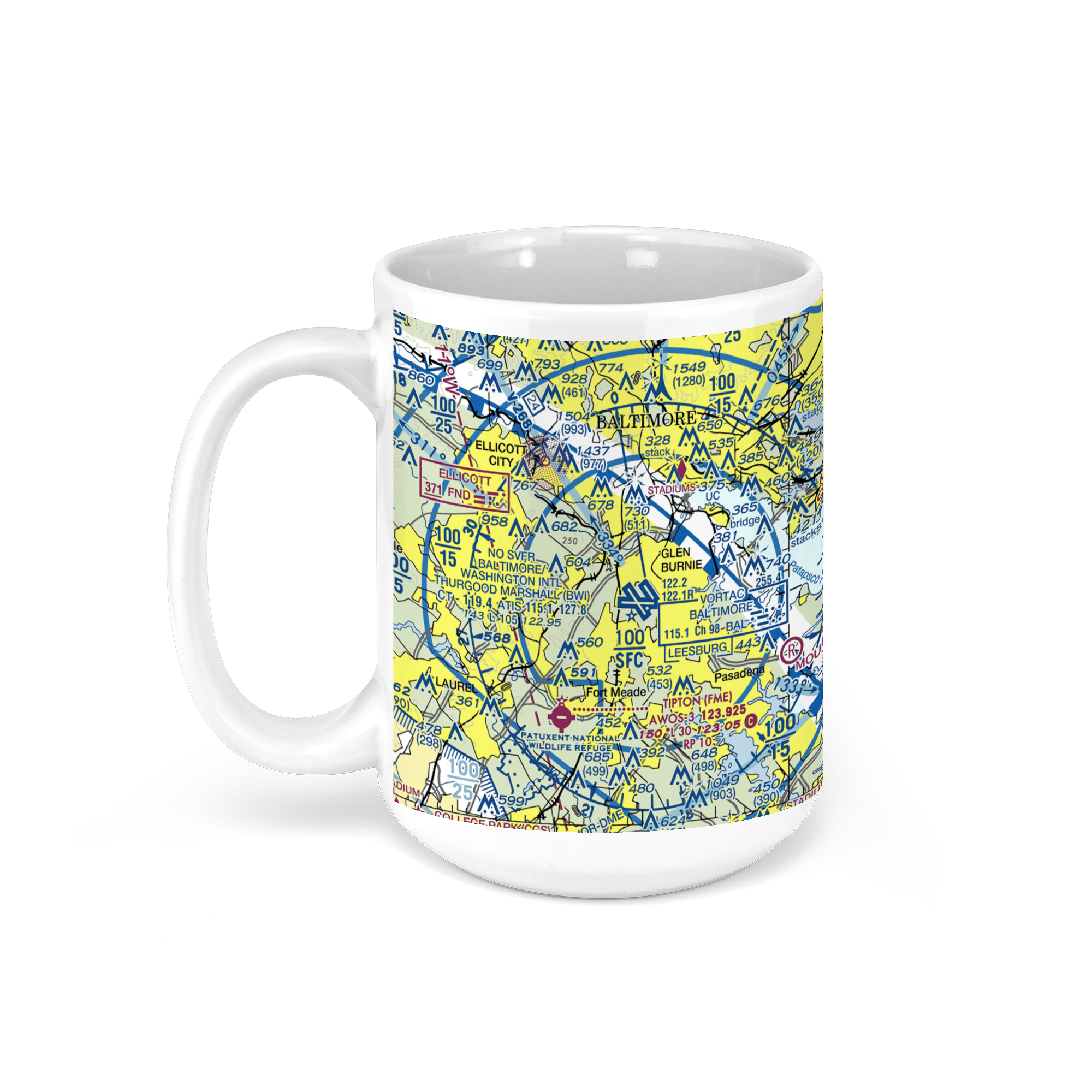 11oz From $14.21 15oz From $16.46
Baltimore/Washington International Airport (BWI), Baltimore, MD, USA FAA Sectional Aeronautical Charts Chart Mug
From: $18.95MIX, MATCH & SAVE! UP TO 25% OFFDistance from your search: 378.4mi -

Baltimore Harbor Nautical Chart 12281 – Floating Frame Canvas
From: $184.95PREMIUM FLOATING FRAME CANVASDistance from your search: 379.8mi -
Distance from your search: 382.3mi
-
Distance from your search: 382.3mi
-
Distance from your search: 382.3mi
-
Distance from your search: 382.3mi

