- Display 24 Products per page
-
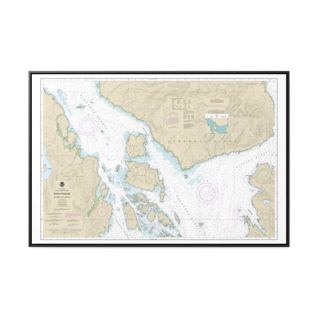
Snow Passage, Alaska Nautical Chart 17383 – Floating Frame Canvas
From: $164.95PREMIUM FLOATING FRAME CANVASDistance from your search: 753.2mi -
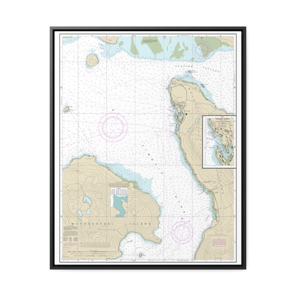
Wrangell Harbor and approaches Wrangell Harbor Nautical Chart 17384 – Floating Frame Canvas
From: $184.95PREMIUM FLOATING FRAME CANVASDistance from your search: 754.7mi -
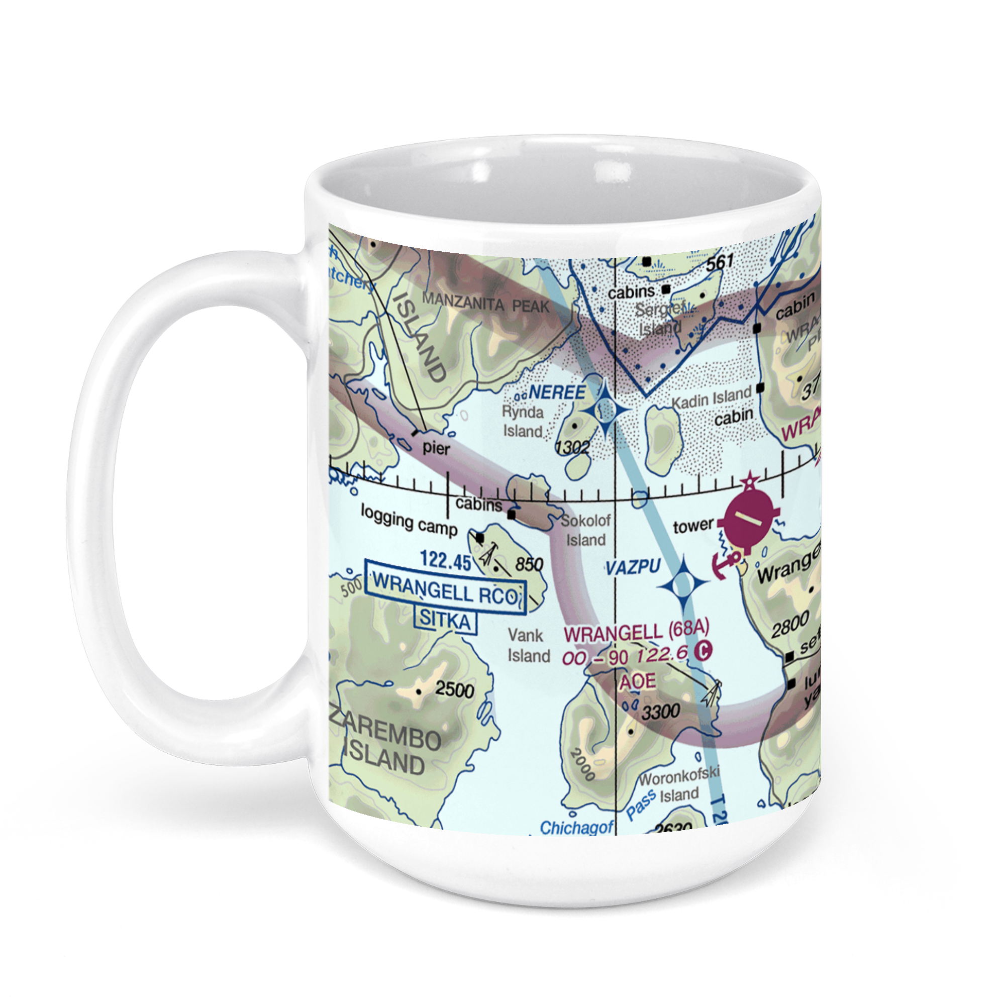 11oz From $14.21 15oz From $16.46
Wrangell Airport (WRG) (PAWG), Airport Road, Wrangell, AK, USA FAA Sectional Aeronautical Charts Chart Mug
From: $18.95MIX, MATCH & SAVE! UP TO 25% OFFDistance from your search: 755.8mi -
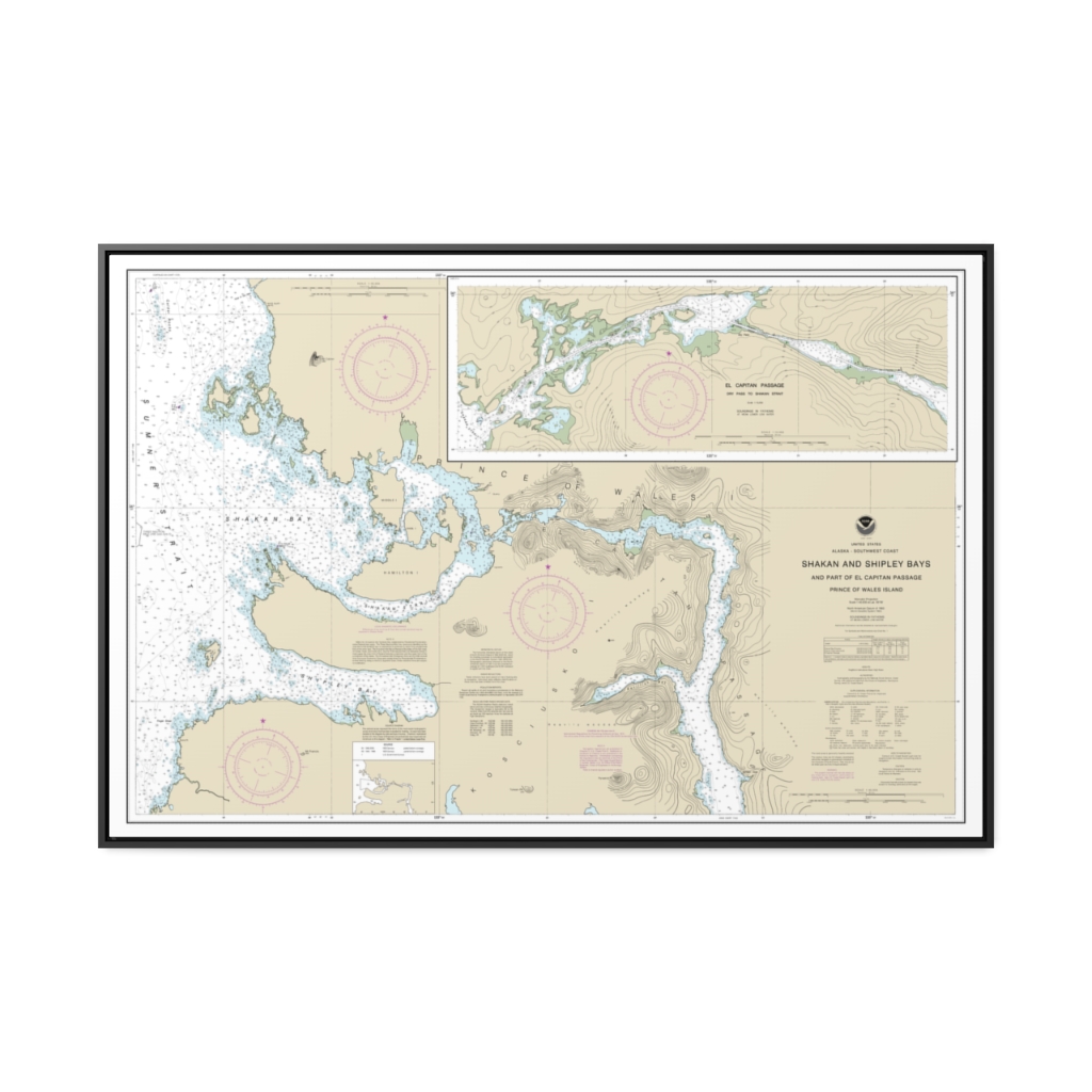
Shakan and Shipley Bays and Part of El Capitan Passage El Capitan Pasage, Dry Pass to Shakan Strait Nautical Chart 17387 – Floating Frame Canvas
From: $164.95PREMIUM FLOATING FRAME CANVASDistance from your search: 759.5mi -
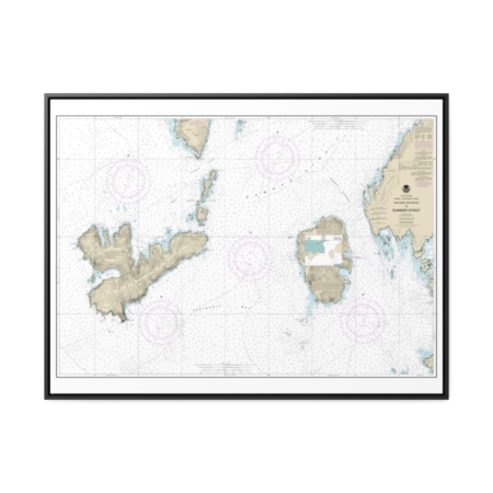
Southern Entrances to Sumner Strait Nautical Chart 17402 – Floating Frame Canvas
From: $184.95PREMIUM FLOATING FRAME CANVASDistance from your search: 760.9mi -
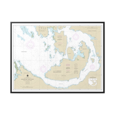
Shakan Bay And Strait, Alaska Nautical Chart 17379 – Floating Frame Canvas
From: $184.95PREMIUM FLOATING FRAME CANVASDistance from your search: 761.6mi -
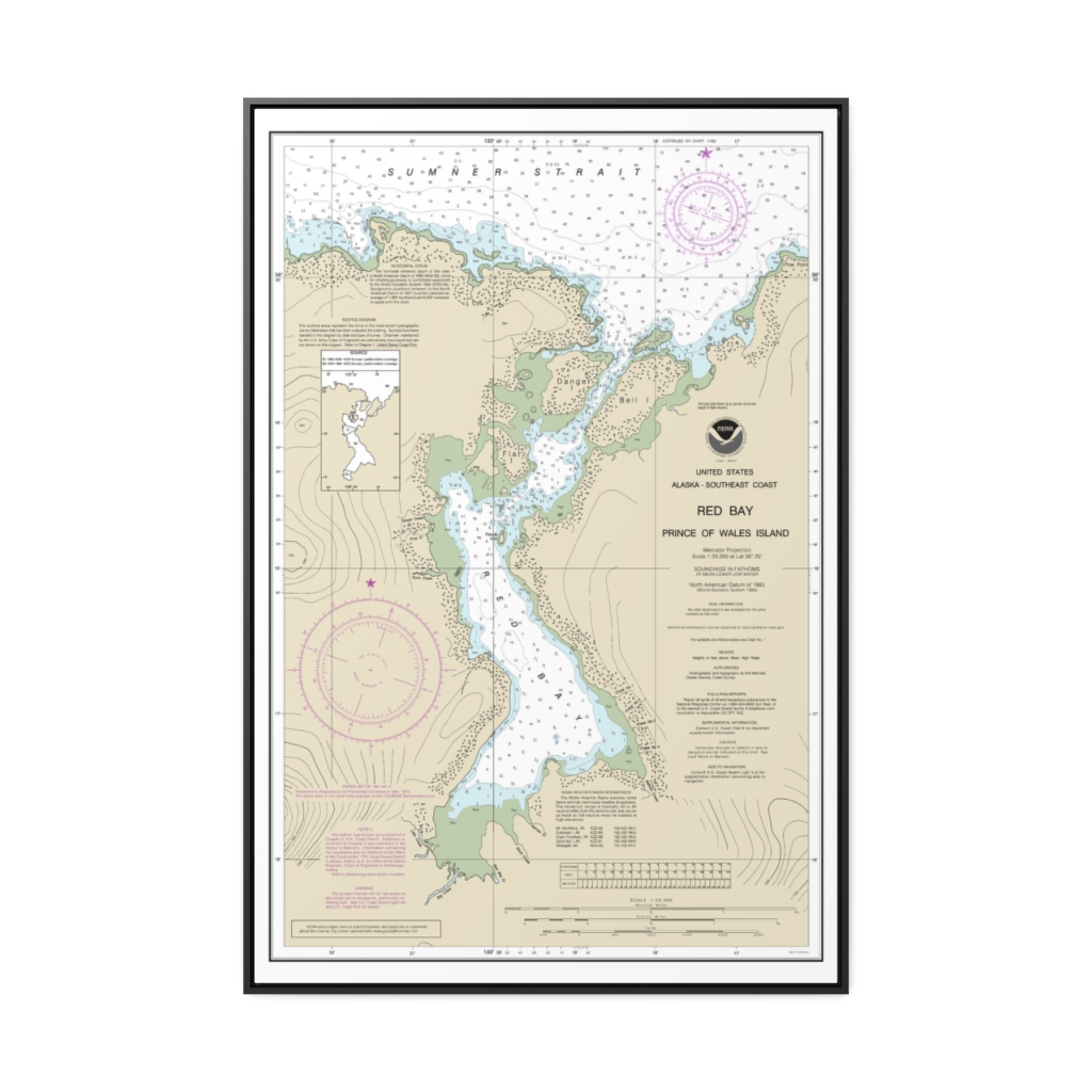
Red Bay, Prince of Wales Island Nautical Chart 17381 – Floating Frame Canvas
From: $164.95PREMIUM FLOATING FRAME CANVASDistance from your search: 763.5mi -
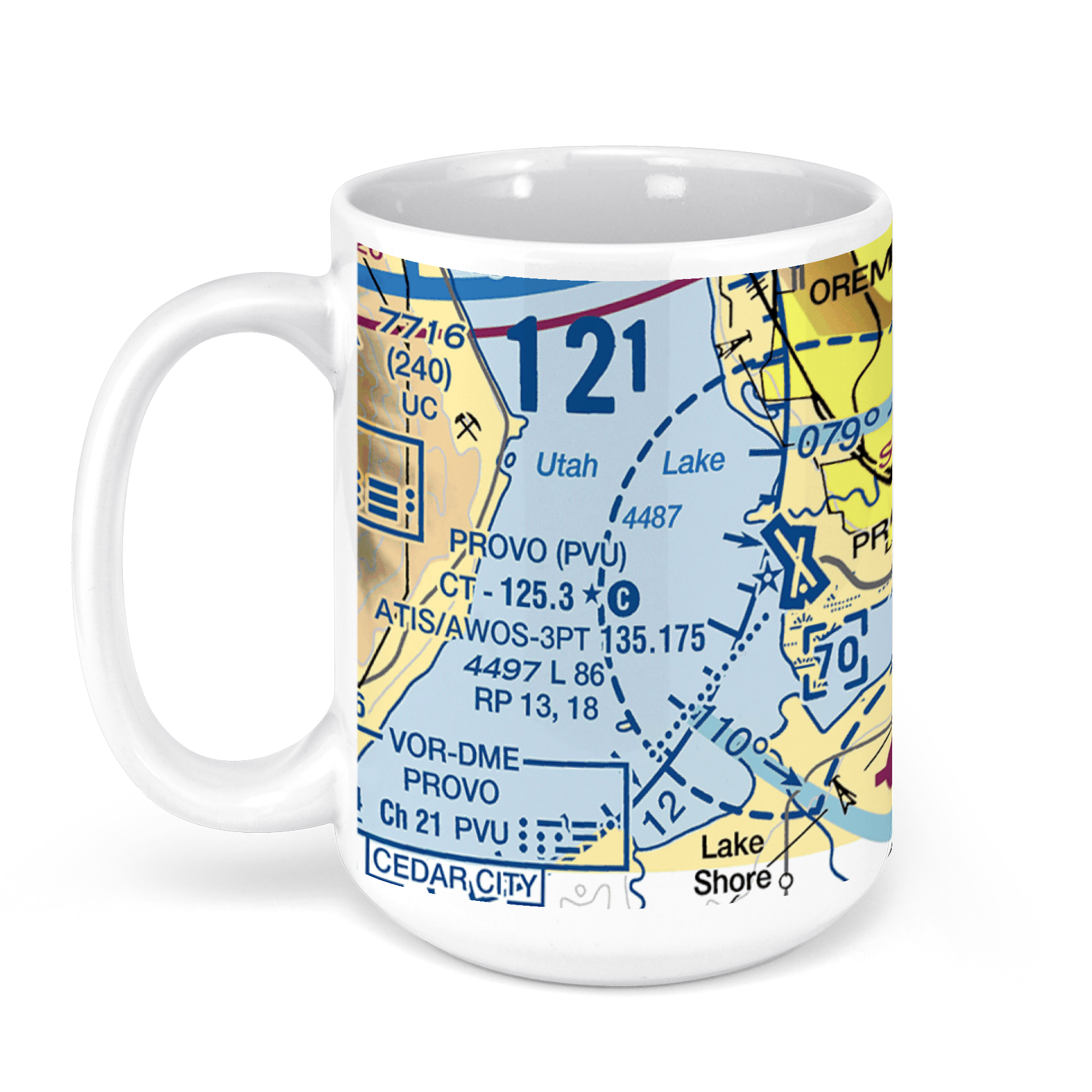 11oz From $14.21 15oz From $16.46
Provo Municipal Airport, Provo, UT, USA FAA Sectional Aeronautical Charts Chart Mug
From: $18.95MIX, MATCH & SAVE! UP TO 25% OFFDistance from your search: 767.8mi -
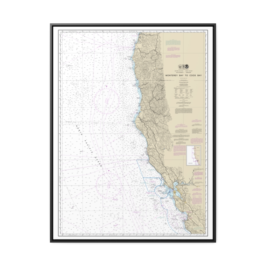
Monterey Bay to Coos Bay Nautical Chart 18010 – Floating Frame Canvas
From: $184.95PREMIUM FLOATING FRAME CANVASDistance from your search: 769.2mi -
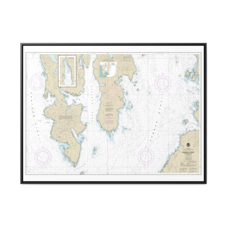
Sumner Strait-Southern part Nautical Chart 17386 – Floating Frame Canvas
From: $184.95PREMIUM FLOATING FRAME CANVASDistance from your search: 770.5mi -
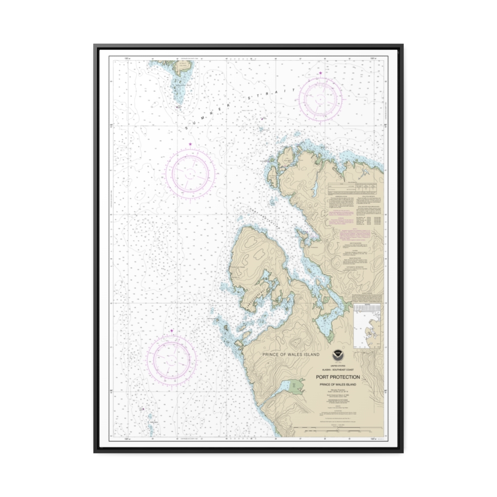
Port Protection, Prince of Wales Island Nautical Chart 17378 – Floating Frame Canvas
From: $184.95PREMIUM FLOATING FRAME CANVASDistance from your search: 771.4mi -
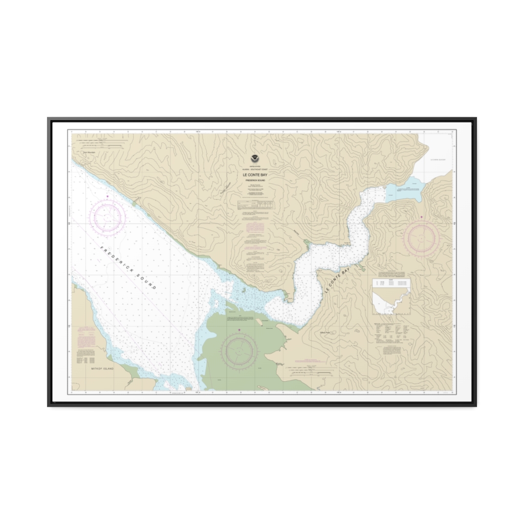
Le Conte Bay Nautical Chart 17377 – Floating Frame Canvas
From: $164.95PREMIUM FLOATING FRAME CANVASDistance from your search: 776mi -
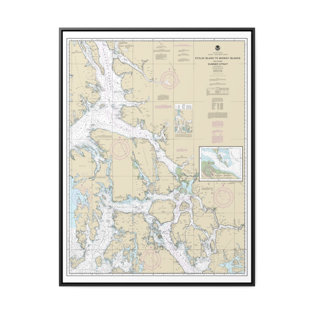
Etolin Island to Midway Islands, including Sumner Strait Holkham Bay Big Castle Island Nautical Chart 17360 – Floating Frame Canvas
From: $184.95PREMIUM FLOATING FRAME CANVASDistance from your search: 781.1mi -
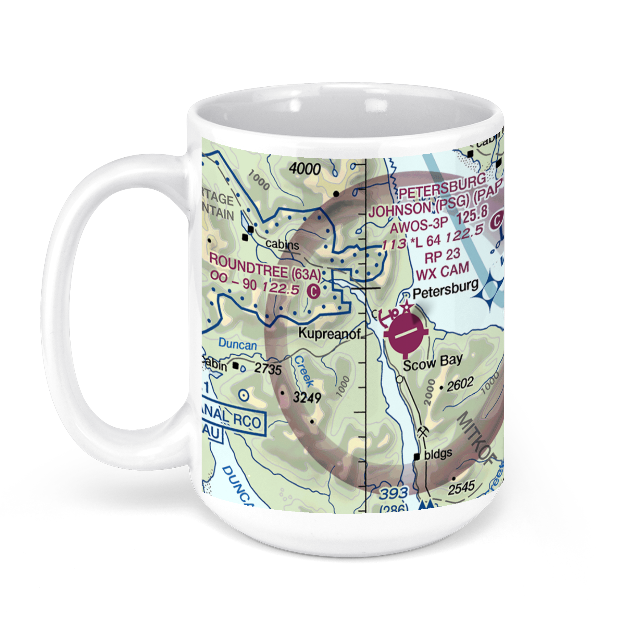 11oz From $14.21 15oz From $16.46
Petersburg James a Johnson, Haugen Drive, Petersburg, AK, USA FAA Sectional Aeronautical Charts Chart Mug
From: $18.95MIX, MATCH & SAVE! UP TO 25% OFFDistance from your search: 785.8mi -
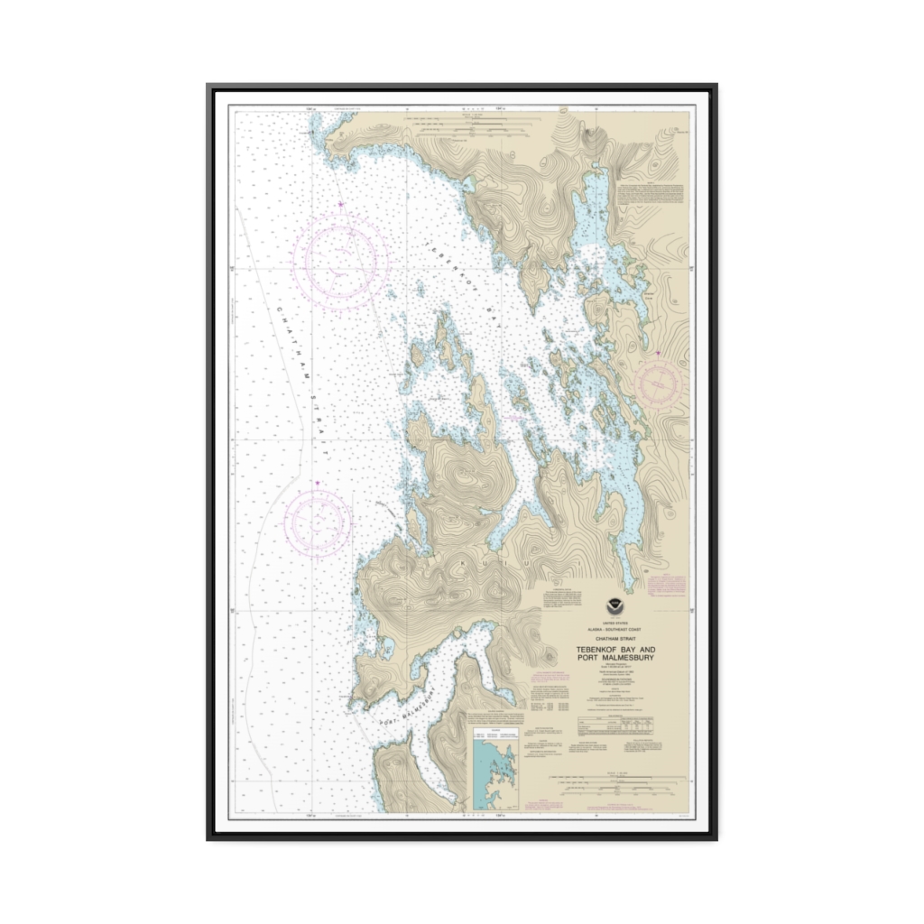
Tebenkof Bay and Port Malmesbury Nautical Chart 17376 – Floating Frame Canvas
From: $164.95PREMIUM FLOATING FRAME CANVASDistance from your search: 785.9mi -
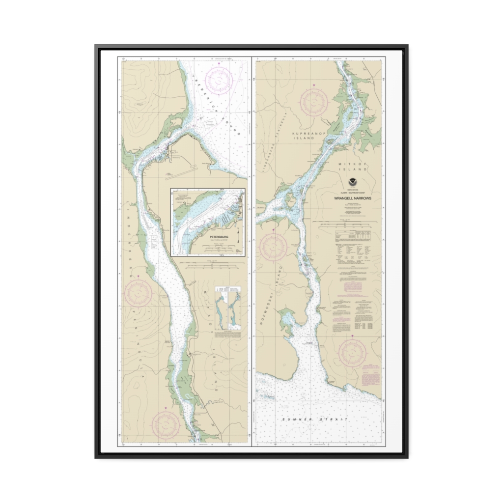
Wrangell Narrows Petersburg Harbor Nautical Chart 17375 – Floating Frame Canvas
From: $184.95PREMIUM FLOATING FRAME CANVASDistance from your search: 786.6mi -
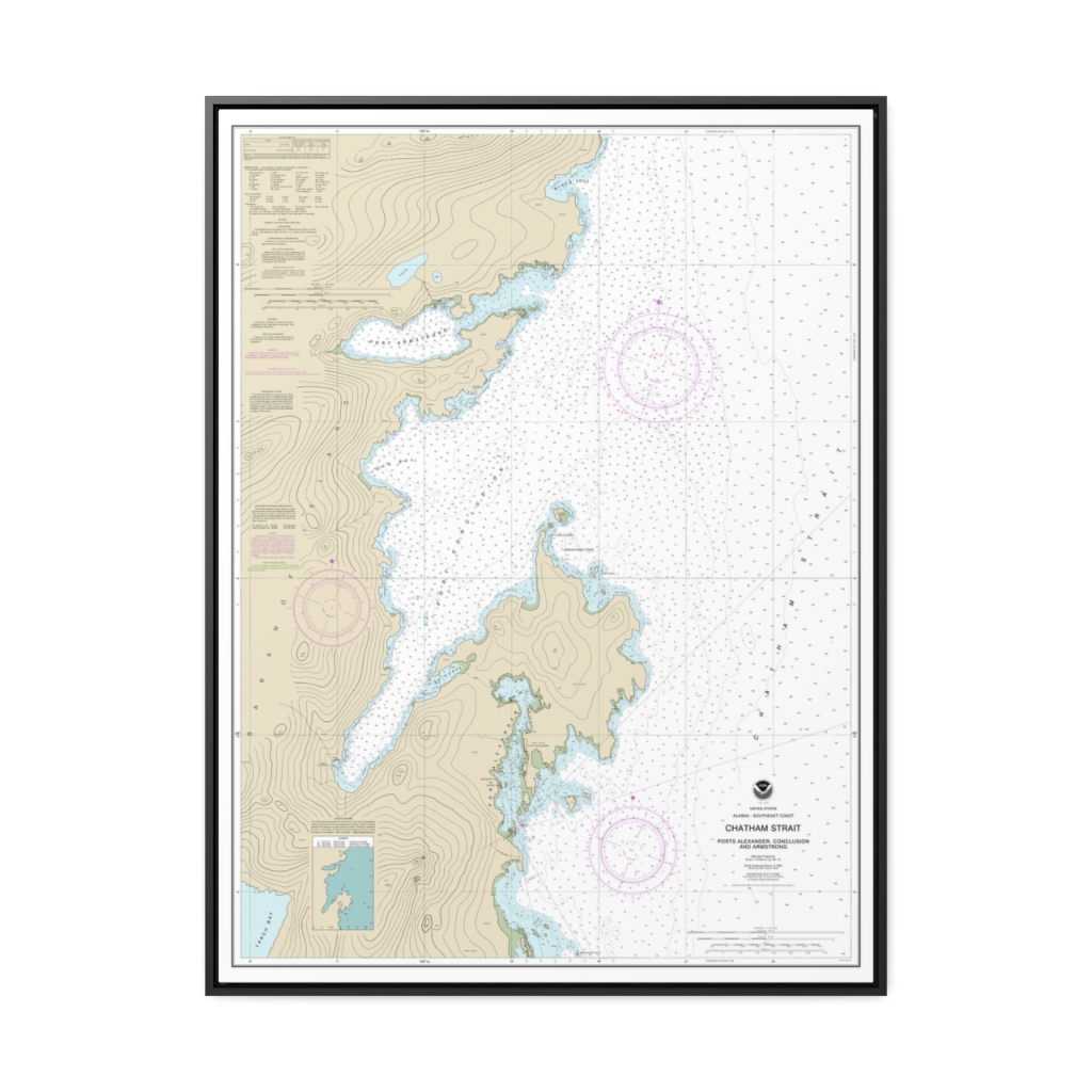
Chatham Strait Ports Alexander, Conclusion, and Armstrong Nautical Chart 17331 – Floating Frame Canvas
From: $184.95PREMIUM FLOATING FRAME CANVASDistance from your search: 792.7mi -
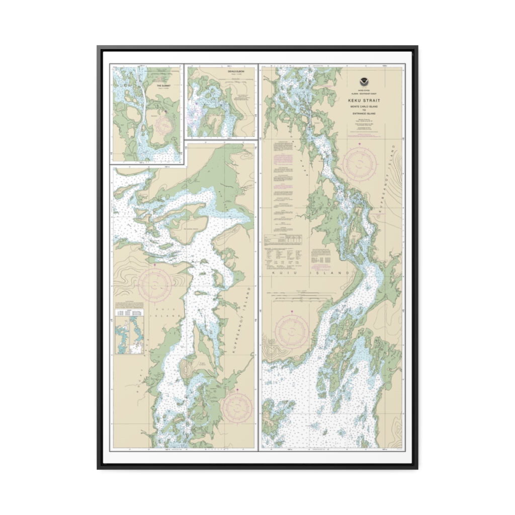
Keku Strait-Monte Carlo Island to Entrance Island The Summit Devils Elbow Nautical Chart 17372 – Floating Frame Canvas
From: $184.95PREMIUM FLOATING FRAME CANVASDistance from your search: 794.7mi -
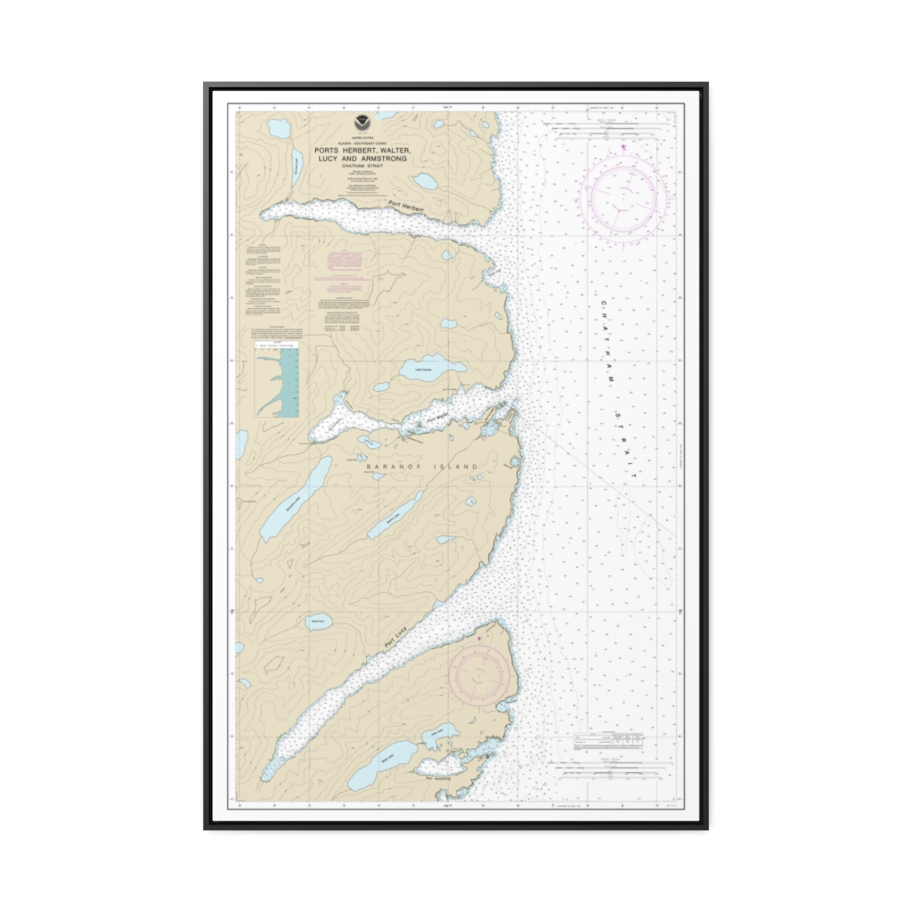
Ports Herbert, Walter, Lucy and Armstrong Nautical Chart 17333 – Floating Frame Canvas
From: $164.95PREMIUM FLOATING FRAME CANVASDistance from your search: 797.3mi -
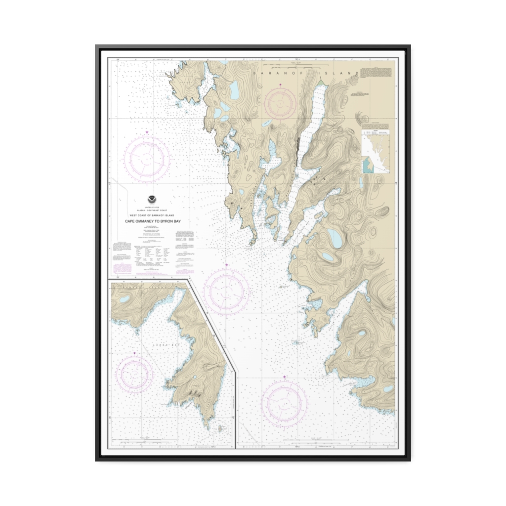
West Coast of Baranof Island Cape Ommaney to Byron Bay Nautical Chart 17330 – Floating Frame Canvas
From: $184.95PREMIUM FLOATING FRAME CANVASDistance from your search: 798.7mi -
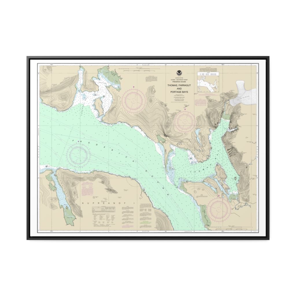
Thomas, Farragut, and Portage Bays, Frederick Sound Nautical Chart 17367 – Floating Frame Canvas
From: $184.95PREMIUM FLOATING FRAME CANVASDistance from your search: 801.1mi -
Distance from your search: 808.4mi
-
Distance from your search: 808.4mi
-
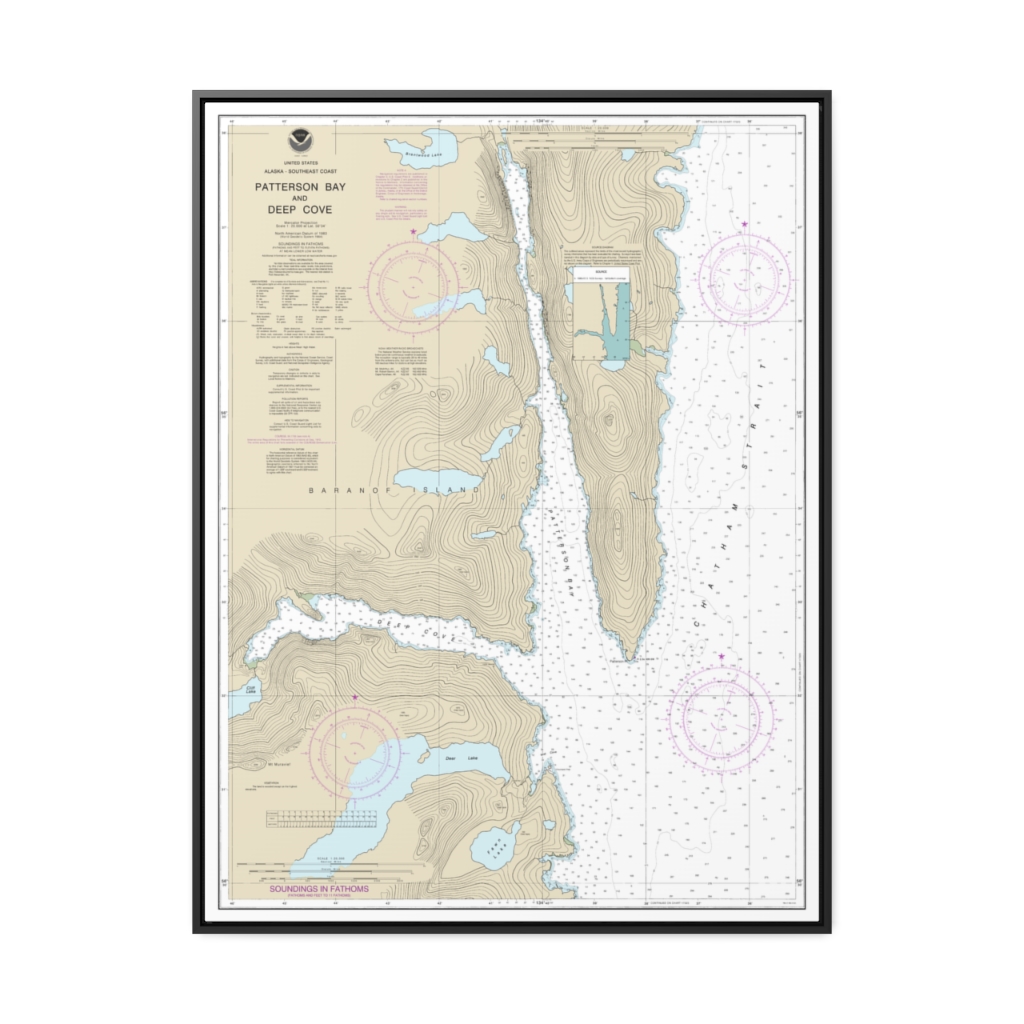
Patterson Bay and Deep Cove Nautical Chart 17335 – Floating Frame Canvas
From: $184.95PREMIUM FLOATING FRAME CANVASDistance from your search: 808.8mi

