- Display 24 Products per page
-
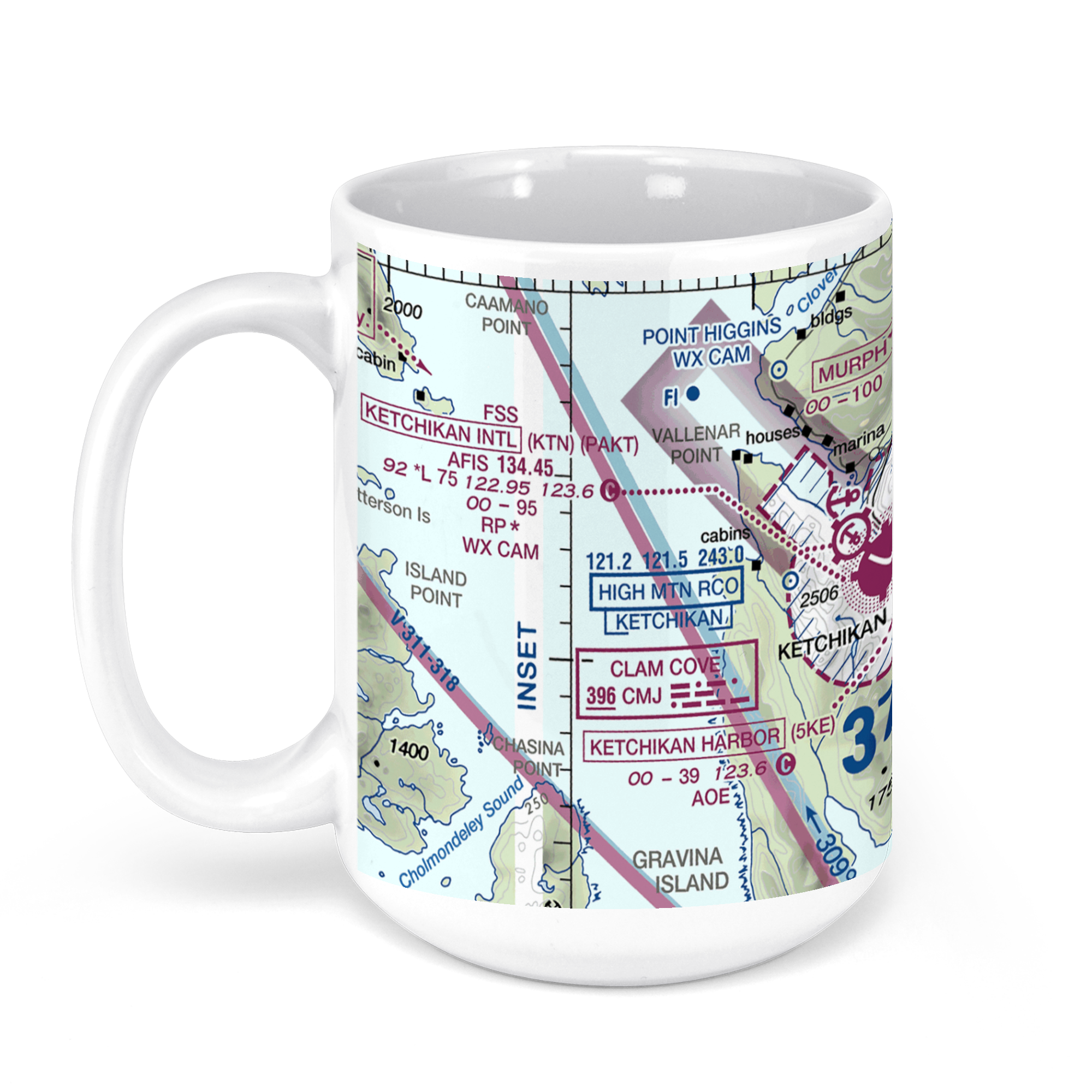 11oz From $14.21 15oz From $16.46
Ketchikan International Airport, Alaska, USA FAA Sectional Aeronautical Charts Chart Mug
From: $18.95MIX, MATCH & SAVE! UP TO 25% OFFDistance from your search: 1039.4mi -
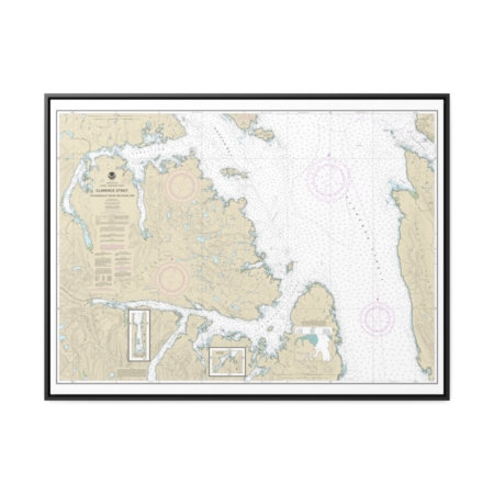
Clarence Strait, Cholmondeley Sound and Skowl Arm Nautical Chart 17436 – Floating Frame Canvas
From: $184.95PREMIUM FLOATING FRAME CANVASDistance from your search: 1040.7mi -
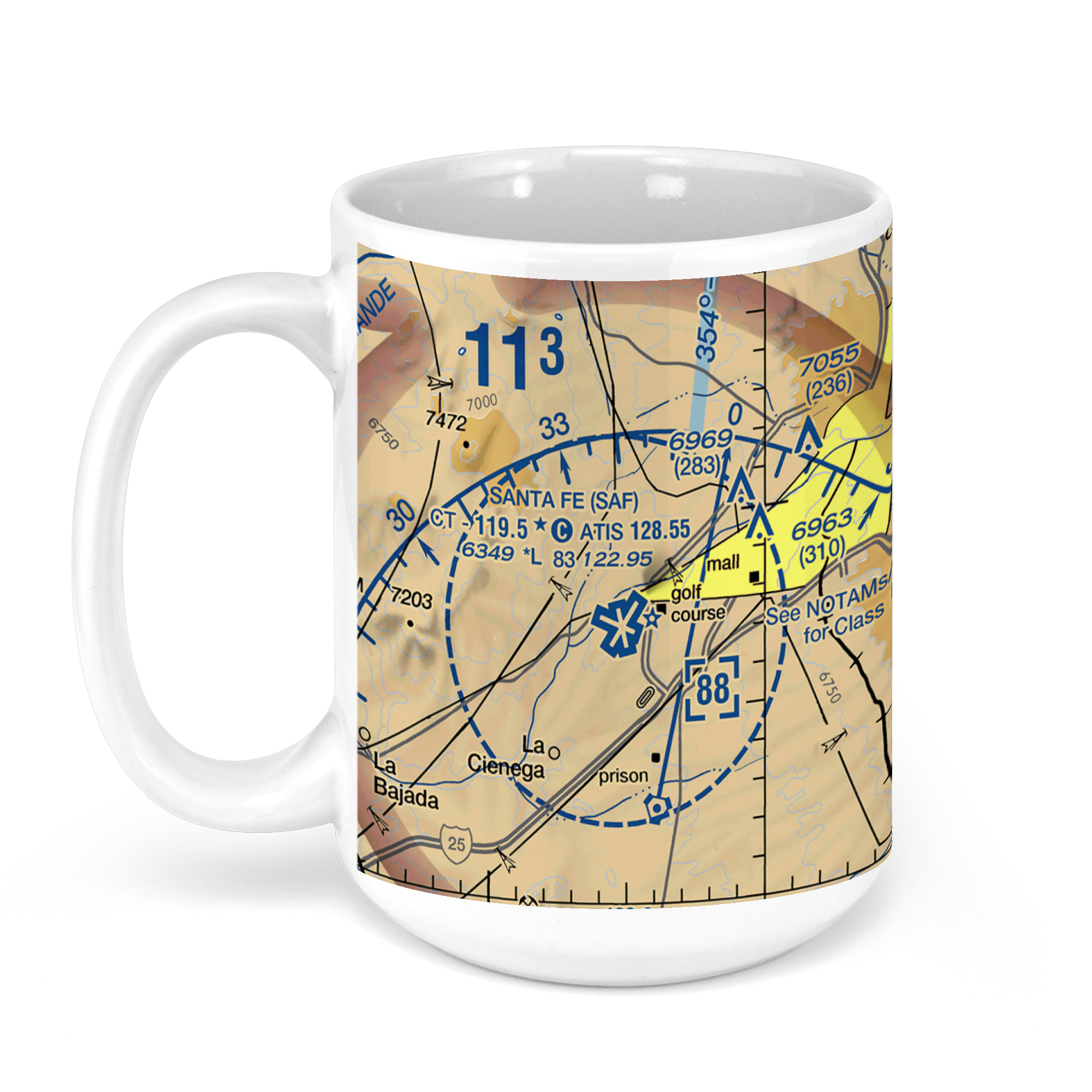 11oz From $14.21 15oz From $16.46
Santa Fe Regional Airport, Santa Fe, NM, USA FAA Sectional Aeronautical Charts Chart Mug
From: $18.95MIX, MATCH & SAVE! UP TO 25% OFFDistance from your search: 1046.8mi -
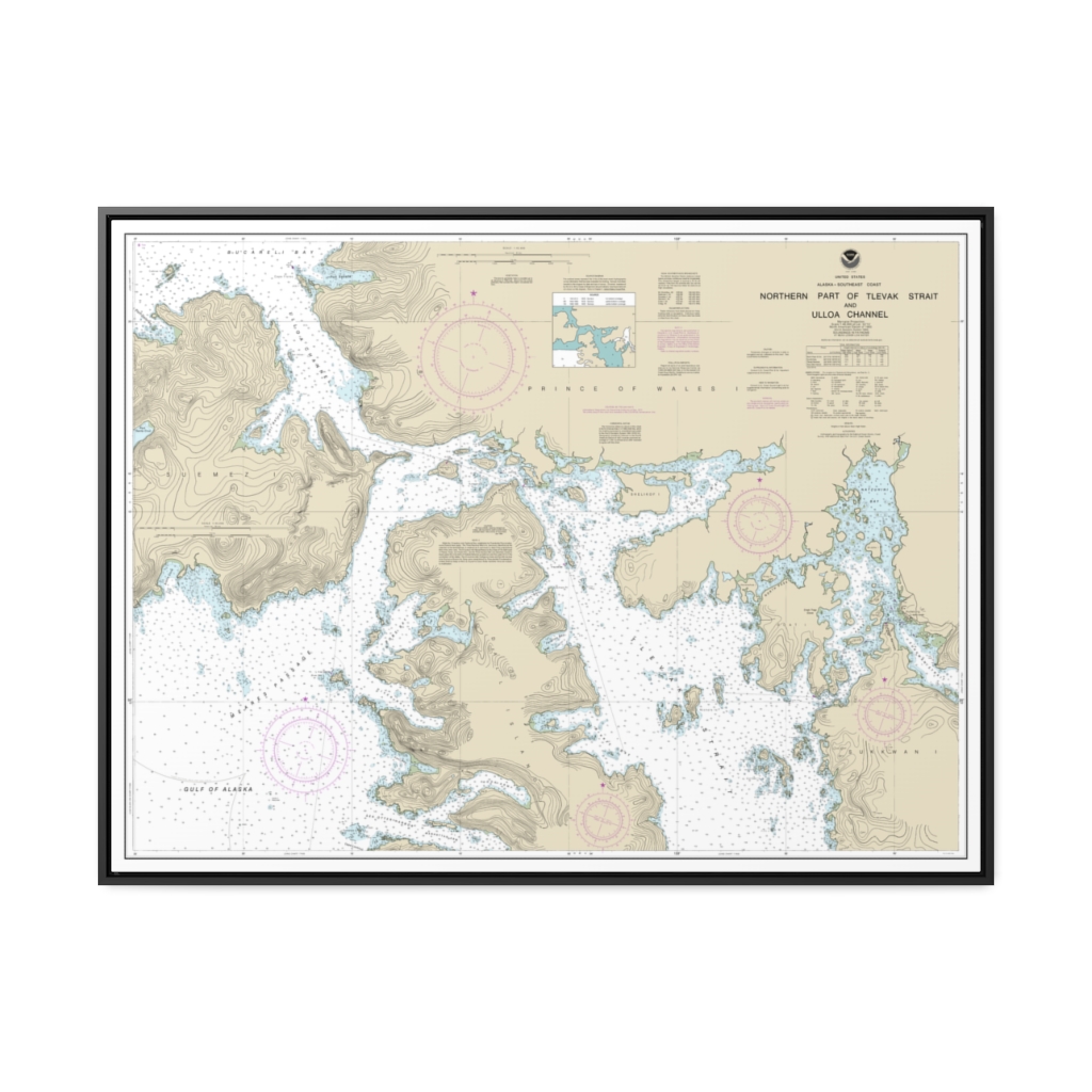
Northern part of Tlevak Strait and Uloa Channel Nautical Chart 17407 – Floating Frame Canvas
From: $184.95PREMIUM FLOATING FRAME CANVASDistance from your search: 1052mi -
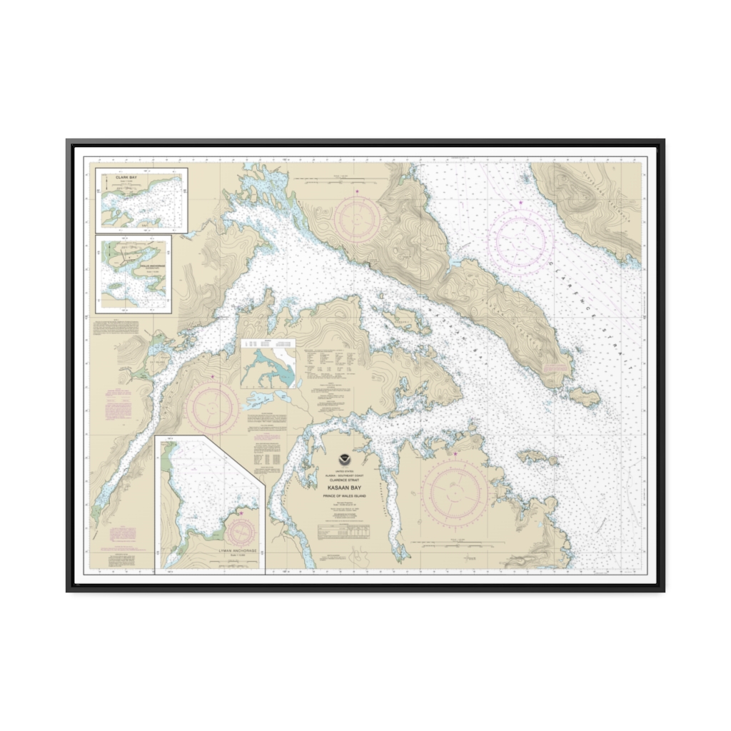
Kasaan Bay, Clarence Strait Hollis Anchorage, eastern part Lyman Anchorage Nautical Chart 17426 – Floating Frame Canvas
From: $184.95PREMIUM FLOATING FRAME CANVASDistance from your search: 1061.8mi -
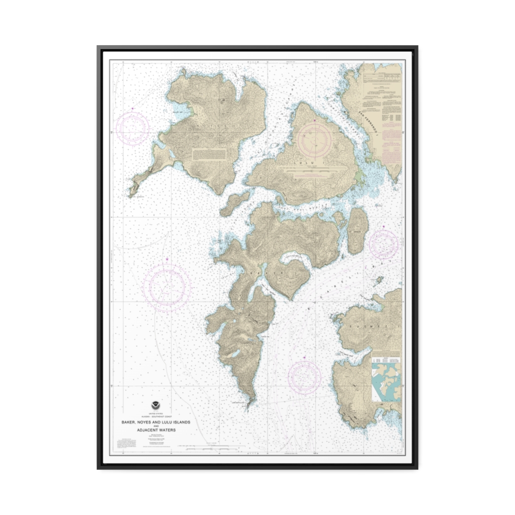
Baker, Noyes, and LuluIslands and adjacent waters Nautical Chart 17406 – Floating Frame Canvas
From: $184.95PREMIUM FLOATING FRAME CANVASDistance from your search: 1065.1mi -
Ulloa Channel to San Christoval Channel North Entrance, Big Salt Lake Shelter Cove, Craig Nautical Chart 17405 – Floating Frame Canvas
From: $139.95PREMIUM FLOATING FRAME CANVASDistance from your search: 1070.1mi -
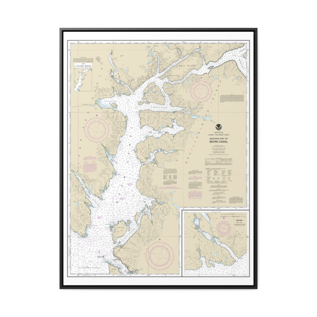
Behm Canal-western part Yes Bay Nautical Chart 17422 – Floating Frame Canvas
From: $184.95PREMIUM FLOATING FRAME CANVASDistance from your search: 1074.4mi -
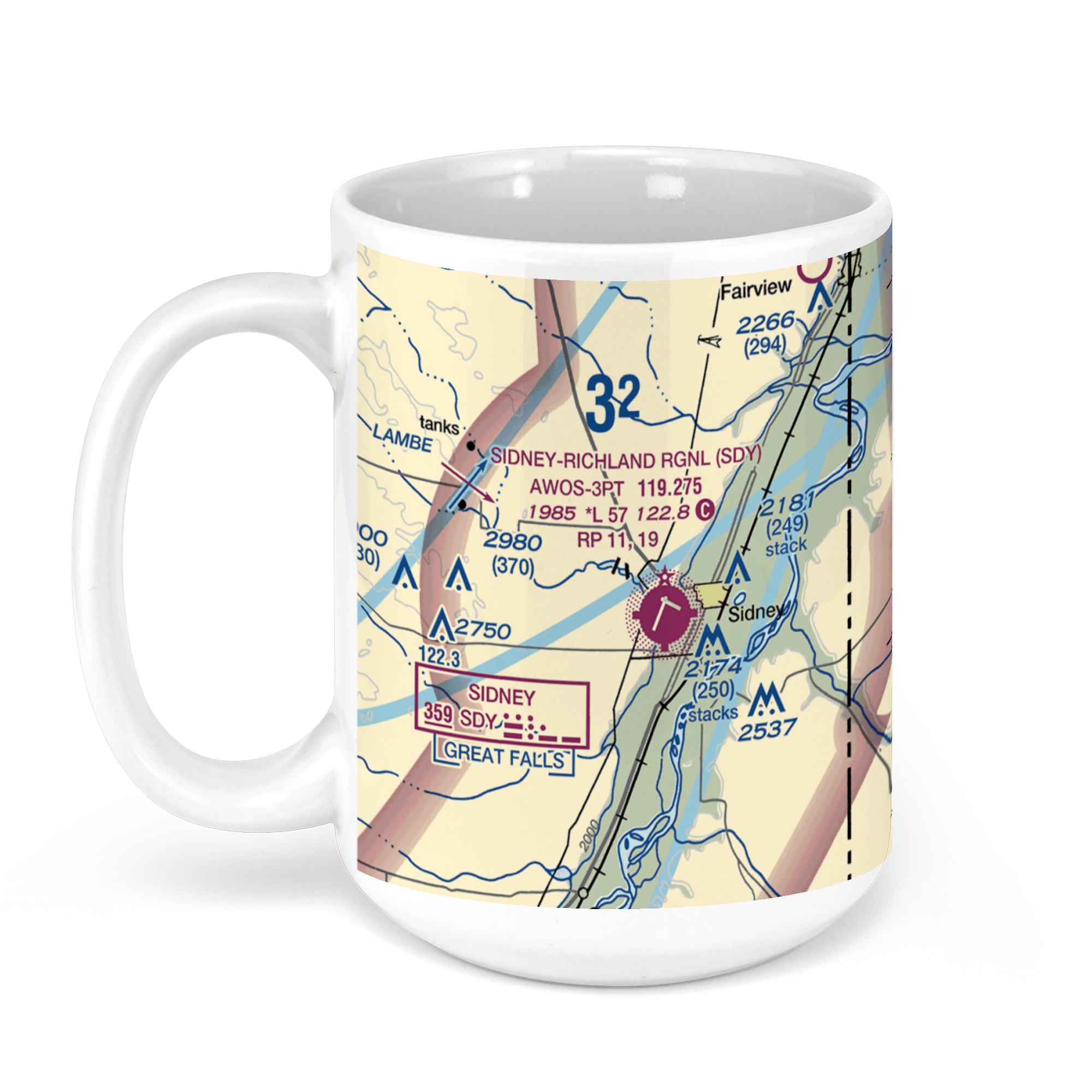 11oz From $14.21 15oz From $16.46
Sidney-Richland Airport, Airport Road, Sidney, MT, USA FAA Sectional Aeronautical Charts Chart Mug
From: $18.95MIX, MATCH & SAVE! UP TO 25% OFFDistance from your search: 1078.1mi -
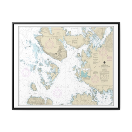
San Christoval Channel to Cape Lynch Nautical Chart 17404 – Floating Frame Canvas
From: $184.95PREMIUM FLOATING FRAME CANVASDistance from your search: 1085.2mi -
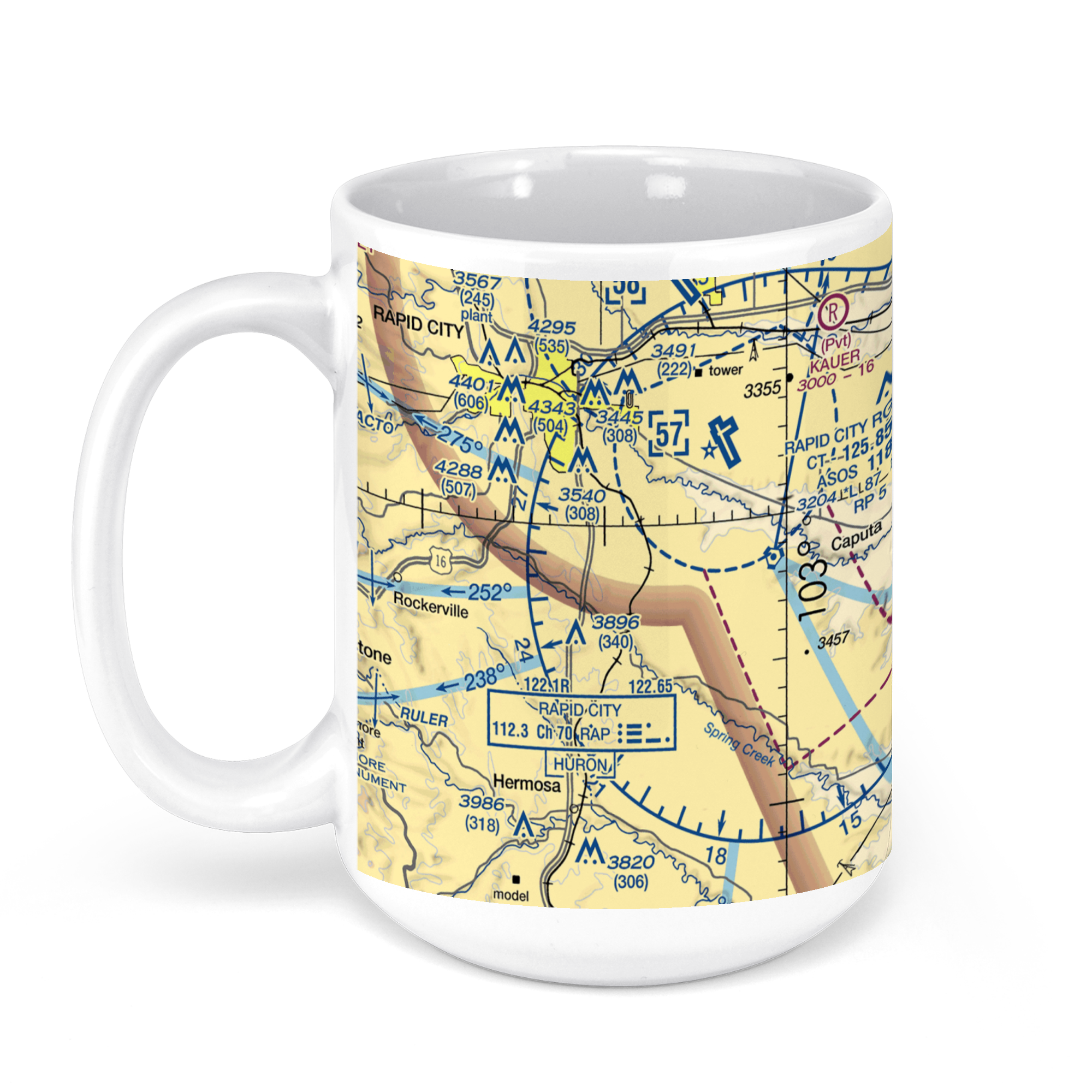 11oz From $14.21 15oz From $16.46
Rapid City Regional Airport, Terminal Road, Rapid City, SD, USA FAA Sectional Aeronautical Charts Chart Mug
From: $18.95MIX, MATCH & SAVE! UP TO 25% OFFDistance from your search: 1086.3mi -
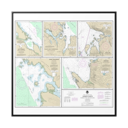
Harbor Charts-Clarence Strait and Behm Canal Dewey Anchorage, Etolin Island Ratz Harbor, Prince of Wales Island Naha Bay, Revillagigedo Island Tolstoi and Thorne Bays, Prince of Wales ls. Union Bay, Cleveland Peninsula Nautical Chart 17423 – Floating Frame Canvas
From: $139.95PREMIUM FLOATING FRAME CANVASDistance from your search: 1086.4mi -
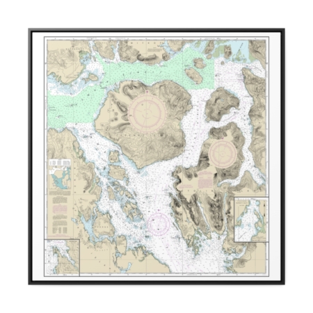
Zarembo Island and approaches Burnett Inlet, Etolin Island Steamer Bay Nautical Chart 17382 – Floating Frame Canvas
From: $139.95PREMIUM FLOATING FRAME CANVASDistance from your search: 1095.7mi -
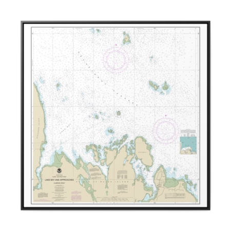
Lake Bay and approaches, Clarence Str. Nautical Chart 17401 – Floating Frame Canvas
From: $139.95PREMIUM FLOATING FRAME CANVASDistance from your search: 1099.7mi -
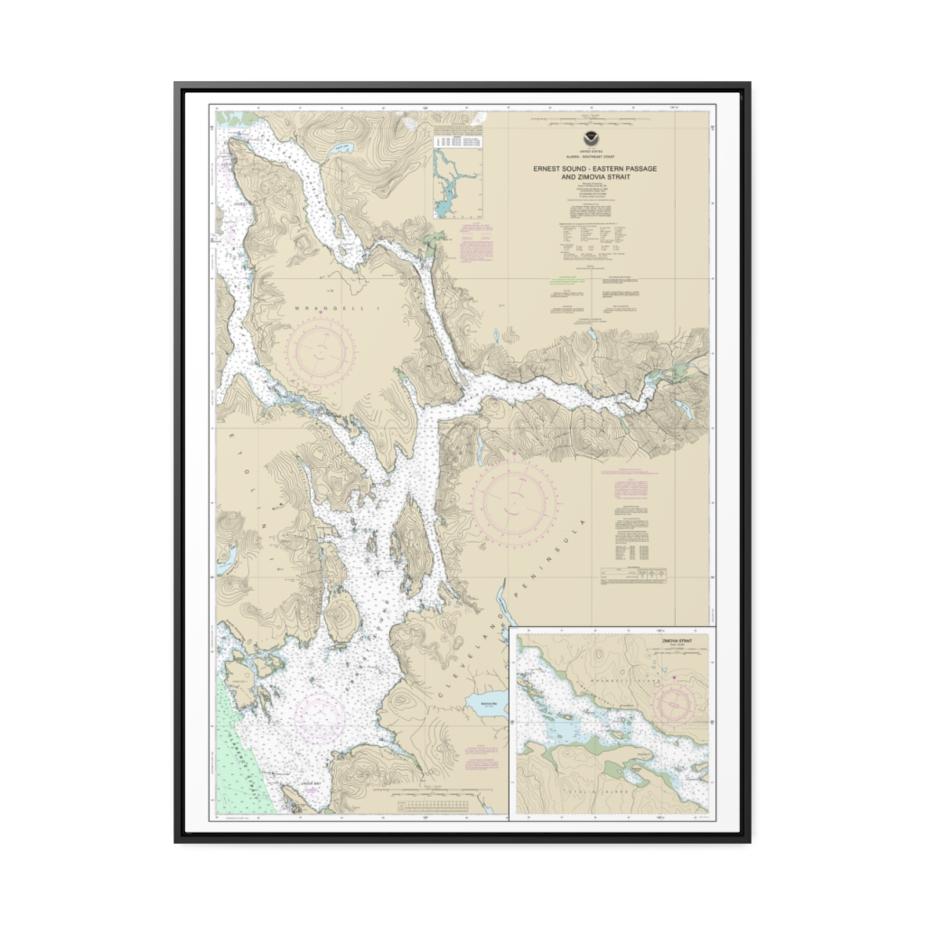
Ernest Sound-Eastern Passage and Zimovia Strait Zimovia Strait Nautical Chart 17385 – Floating Frame Canvas
From: $184.95PREMIUM FLOATING FRAME CANVASDistance from your search: 1100.5mi -
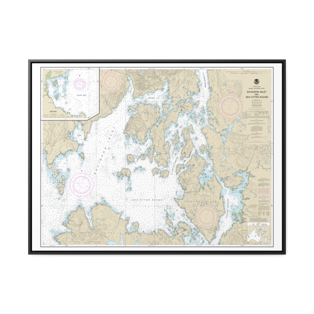
Davidson Inlet and Sea Otter Sound Edna Bay Nautical Chart 17403 – Floating Frame Canvas
From: $184.95PREMIUM FLOATING FRAME CANVASDistance from your search: 1107.7mi -
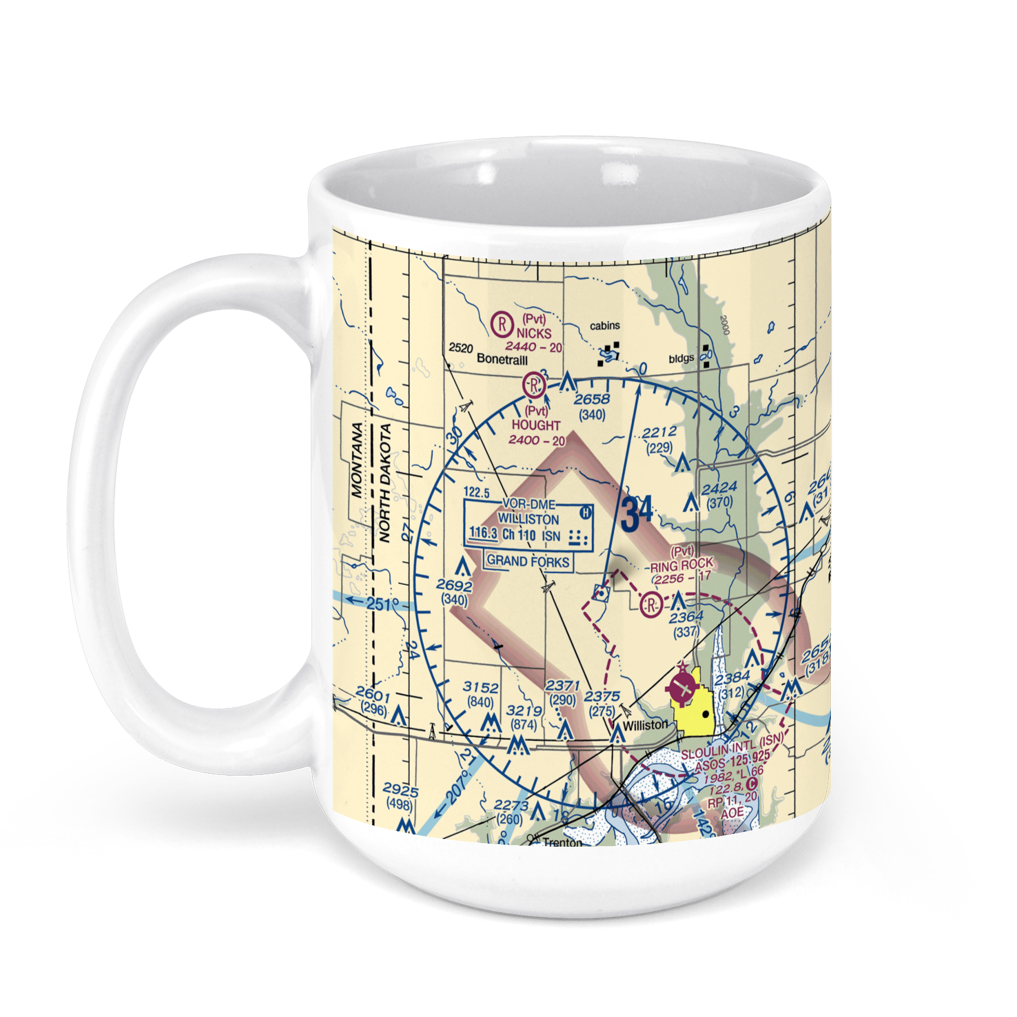 11oz From $14.21 15oz From $16.46
Williston Basin International Airport, Jensen Ln, Williston, ND, USA FAA Sectional Aeronautical Charts Chart Mug
From: $18.95MIX, MATCH & SAVE! UP TO 25% OFFDistance from your search: 1109.4mi -
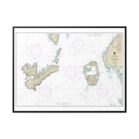
Southern Entrances to Sumner Strait Nautical Chart 17402 – Floating Frame Canvas
From: $184.95PREMIUM FLOATING FRAME CANVASDistance from your search: 1110.8mi -
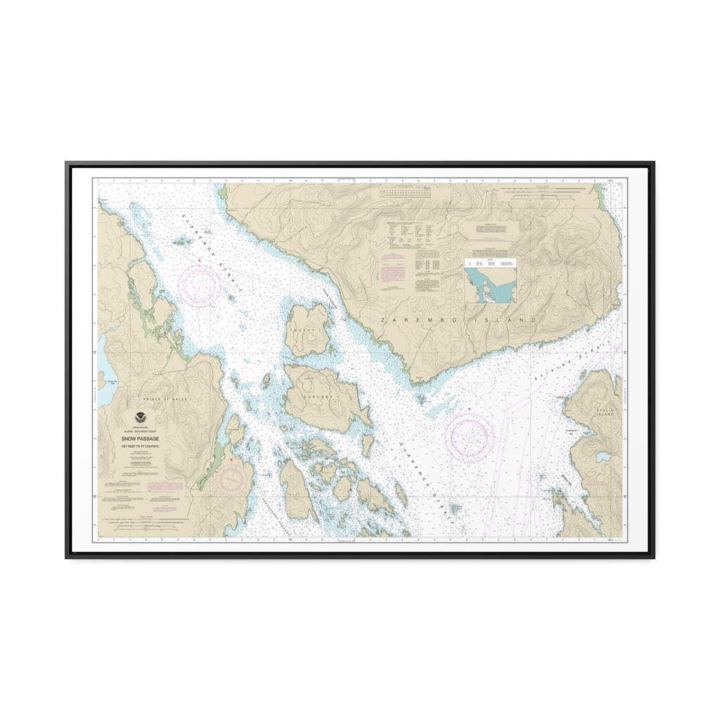
Snow Passage, Alaska Nautical Chart 17383 – Floating Frame Canvas
From: $164.95PREMIUM FLOATING FRAME CANVASDistance from your search: 1112.7mi -
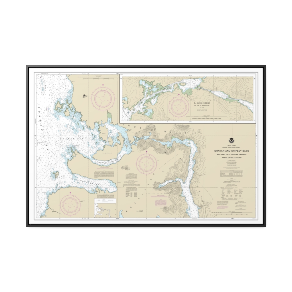
Shakan and Shipley Bays and Part of El Capitan Passage El Capitan Pasage, Dry Pass to Shakan Strait Nautical Chart 17387 – Floating Frame Canvas
From: $164.95PREMIUM FLOATING FRAME CANVASDistance from your search: 1117.5mi -
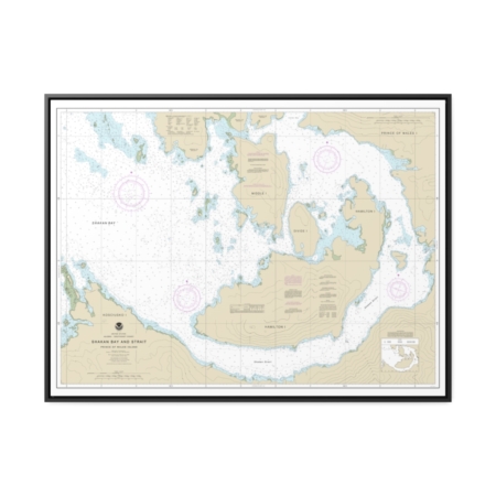
Shakan Bay And Strait, Alaska Nautical Chart 17379 – Floating Frame Canvas
From: $184.95PREMIUM FLOATING FRAME CANVASDistance from your search: 1118.4mi -
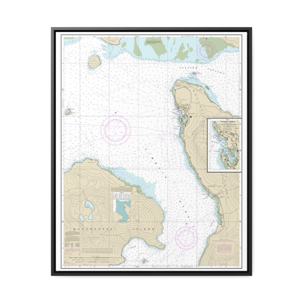
Wrangell Harbor and approaches Wrangell Harbor Nautical Chart 17384 – Floating Frame Canvas
From: $184.95PREMIUM FLOATING FRAME CANVASDistance from your search: 1120.1mi -
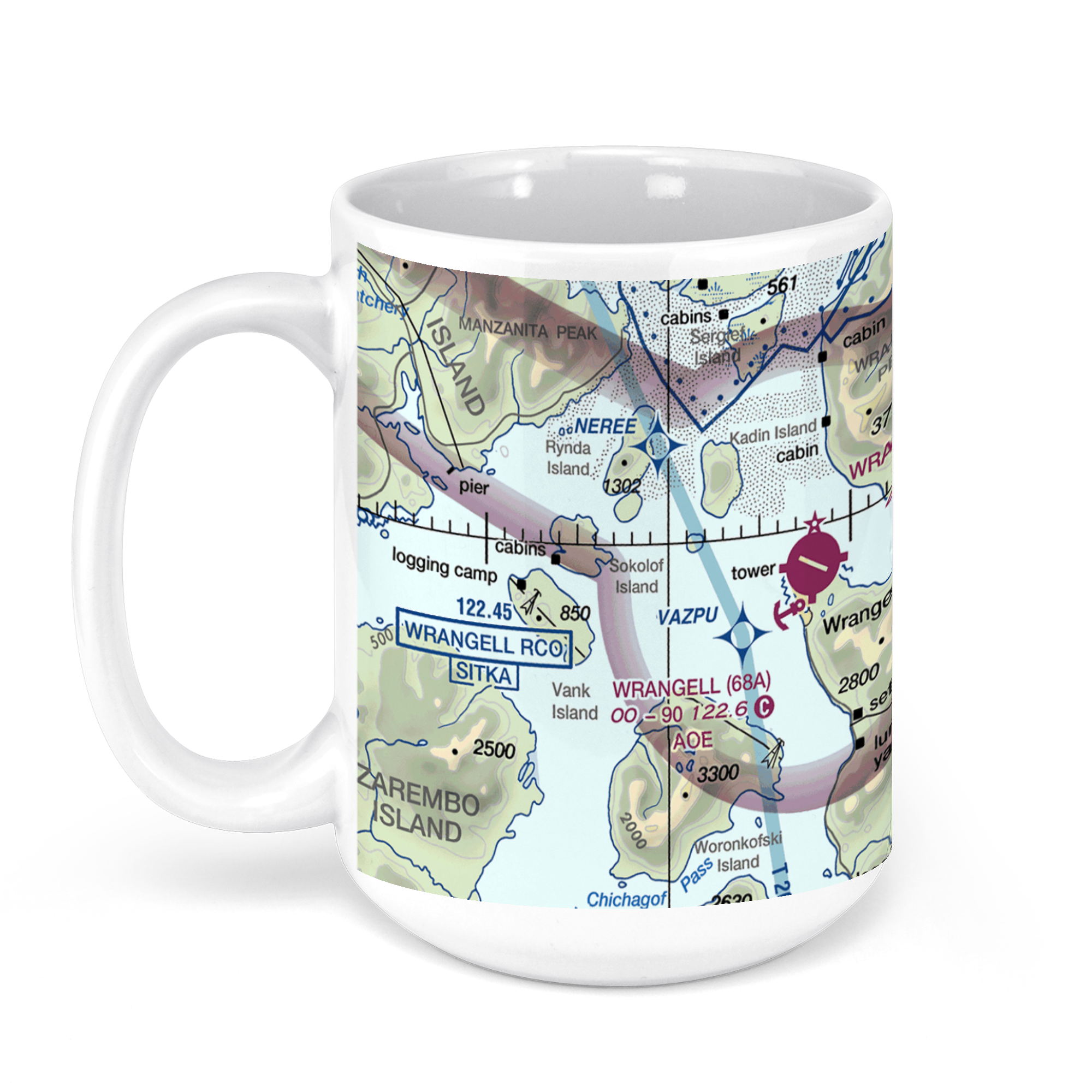 11oz From $14.21 15oz From $16.46
Wrangell Airport (WRG) (PAWG), Airport Road, Wrangell, AK, USA FAA Sectional Aeronautical Charts Chart Mug
From: $18.95MIX, MATCH & SAVE! UP TO 25% OFFDistance from your search: 1121.4mi -
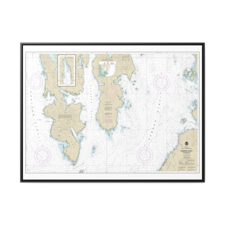
Sumner Strait-Southern part Nautical Chart 17386 – Floating Frame Canvas
From: $184.95PREMIUM FLOATING FRAME CANVASDistance from your search: 1122.5mi

