- Display 24 Products per page
-
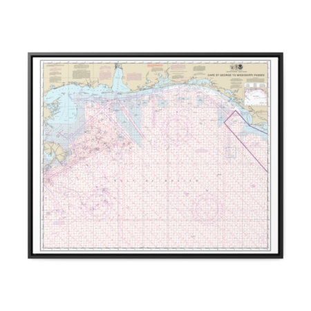
Cape St. George to Mississippi Passes (Oil and Gas Leasing Areas) Nautical Chart 1115A – Floating Frame Canvas
From: $184.95PREMIUM FLOATING FRAME CANVASDistance from your search: 534.7mi -
Distance from your search: 536.9mi
-
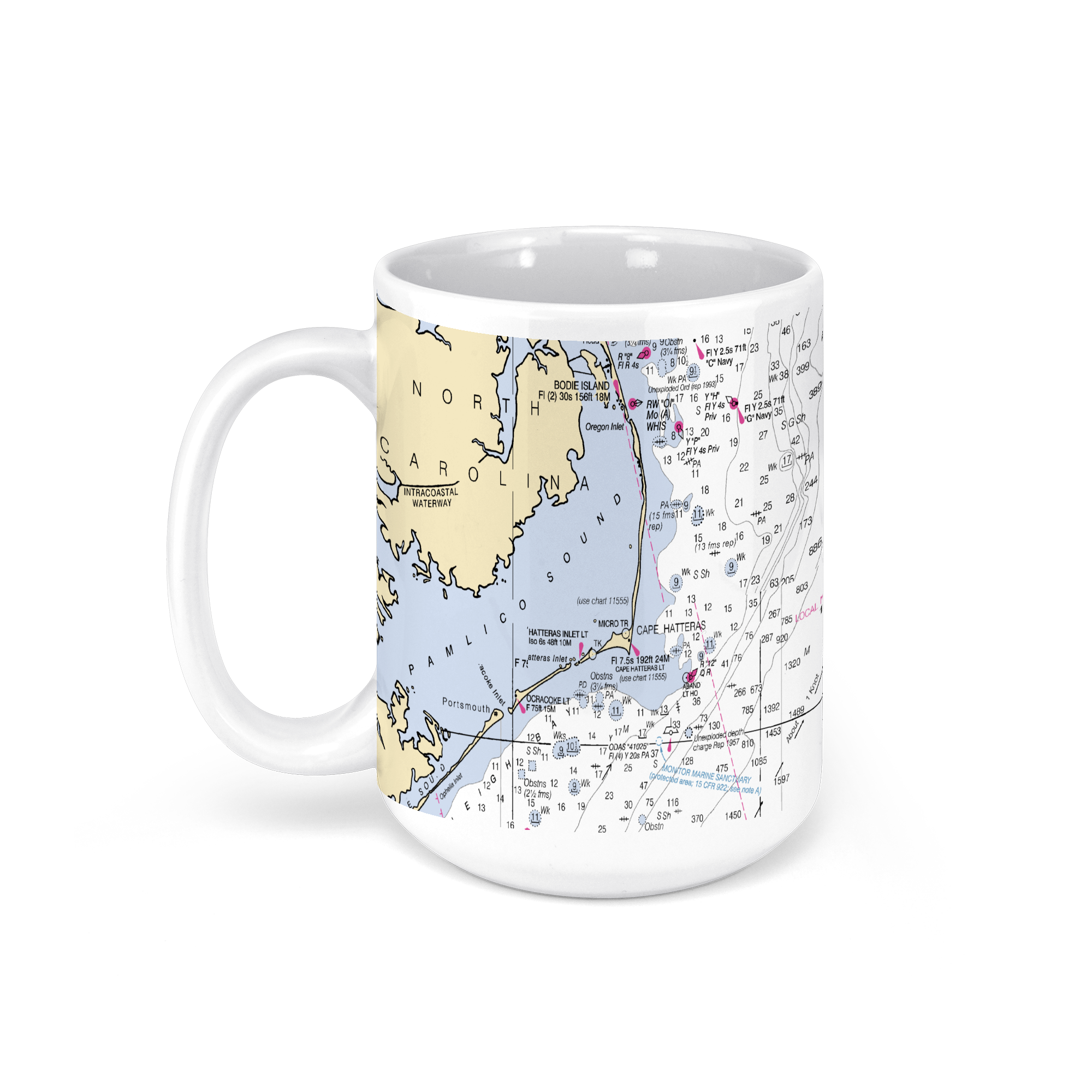 11oz From $14.21 15oz From $16.46
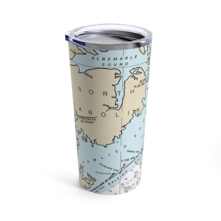
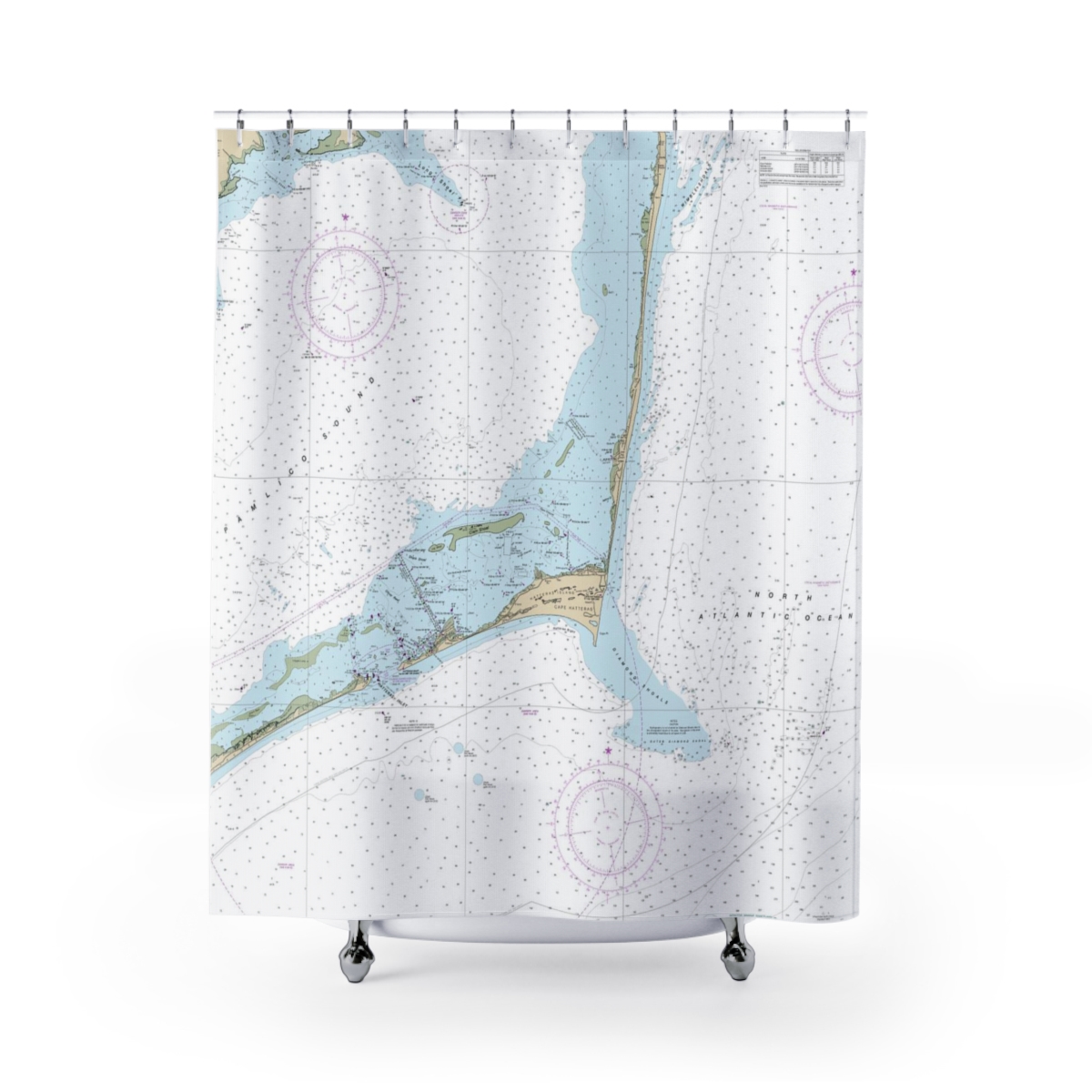
Pamlico Sound, North Carolina, USA & Cape Hatteras NOAA Nautical Charts Chart Mug
From: $18.95MIX, MATCH & SAVE! UP TO 25% OFFDistance from your search: 536.9mi -
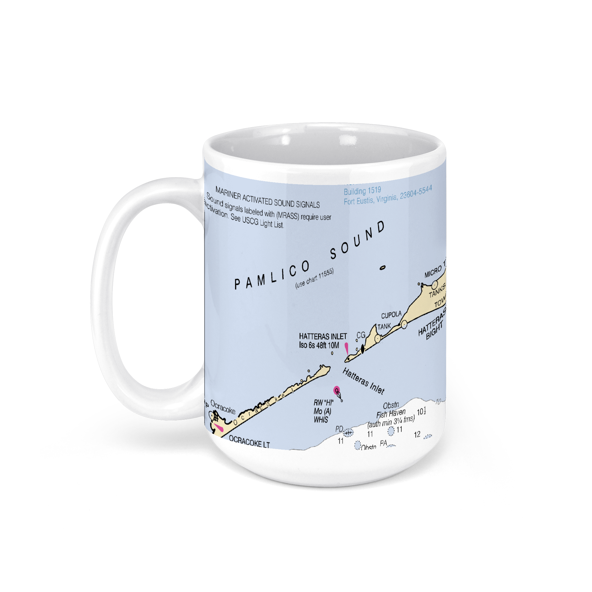 11oz From $14.21 15oz From $16.46
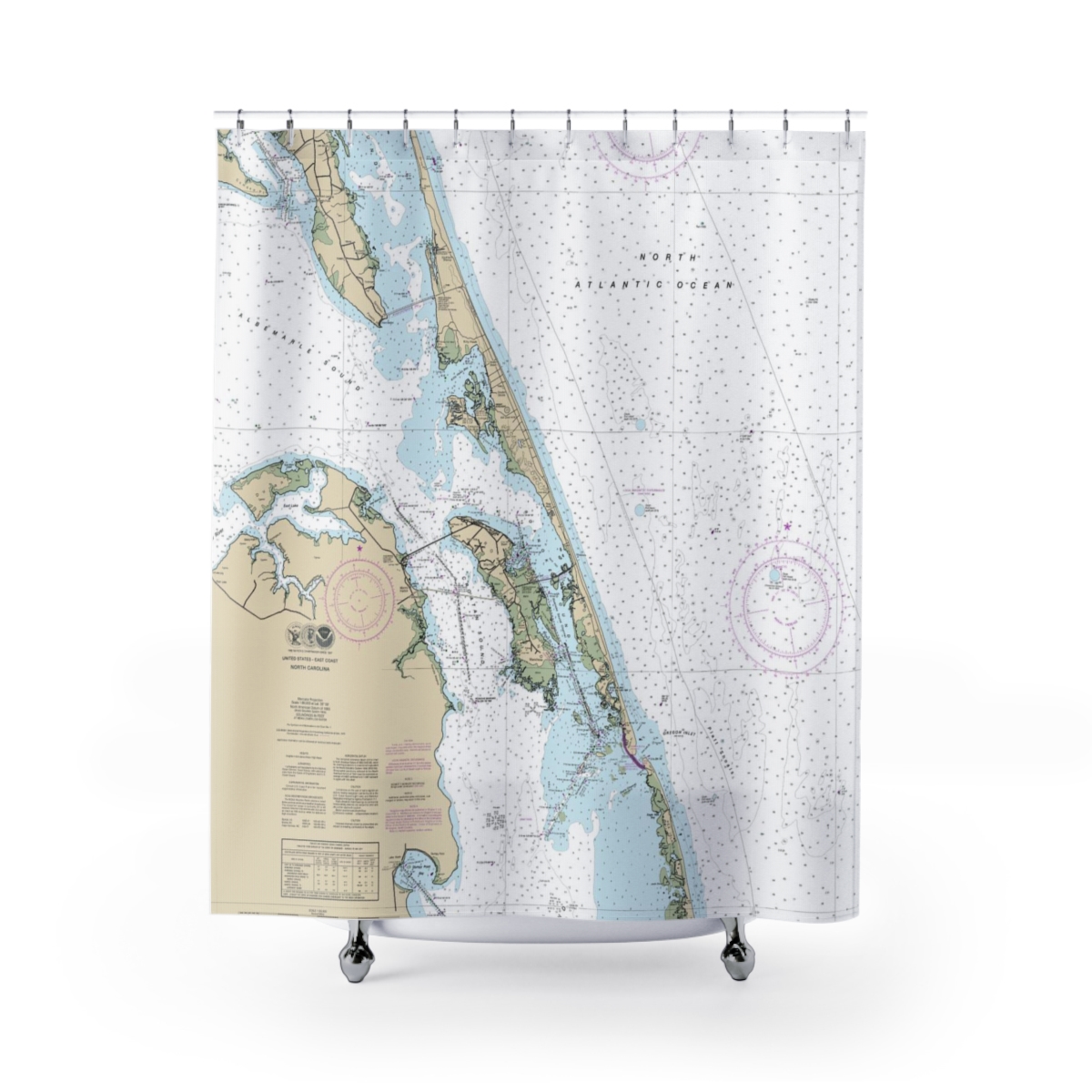
Pamlico Sound, North Carolina, USA NOAA Nautical Charts Chart Mug
From: $18.95MIX, MATCH & SAVE! UP TO 25% OFFDistance from your search: 536.9mi -
Distance from your search: 539.4mi
-
Distance from your search: 539.4mi
-
Distance from your search: 539.4mi
-
Distance from your search: 539.6mi
-
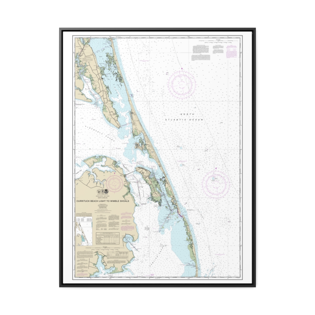
Currituck Beach Light to Wimble Shoals Nautical Chart 12204 – Floating Frame Canvas
From: $184.95PREMIUM FLOATING FRAME CANVASDistance from your search: 543mi -
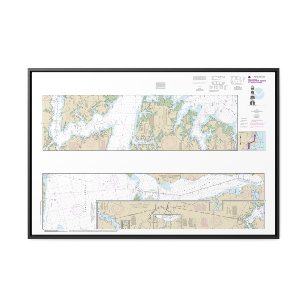
Intracoastal Waterway Albermarle Sound to Neuse River;Alligator River;Second Creek Nautical Chart 11553 – Floating Frame Canvas
From: $164.95PREMIUM FLOATING FRAME CANVASDistance from your search: 544.5mi -
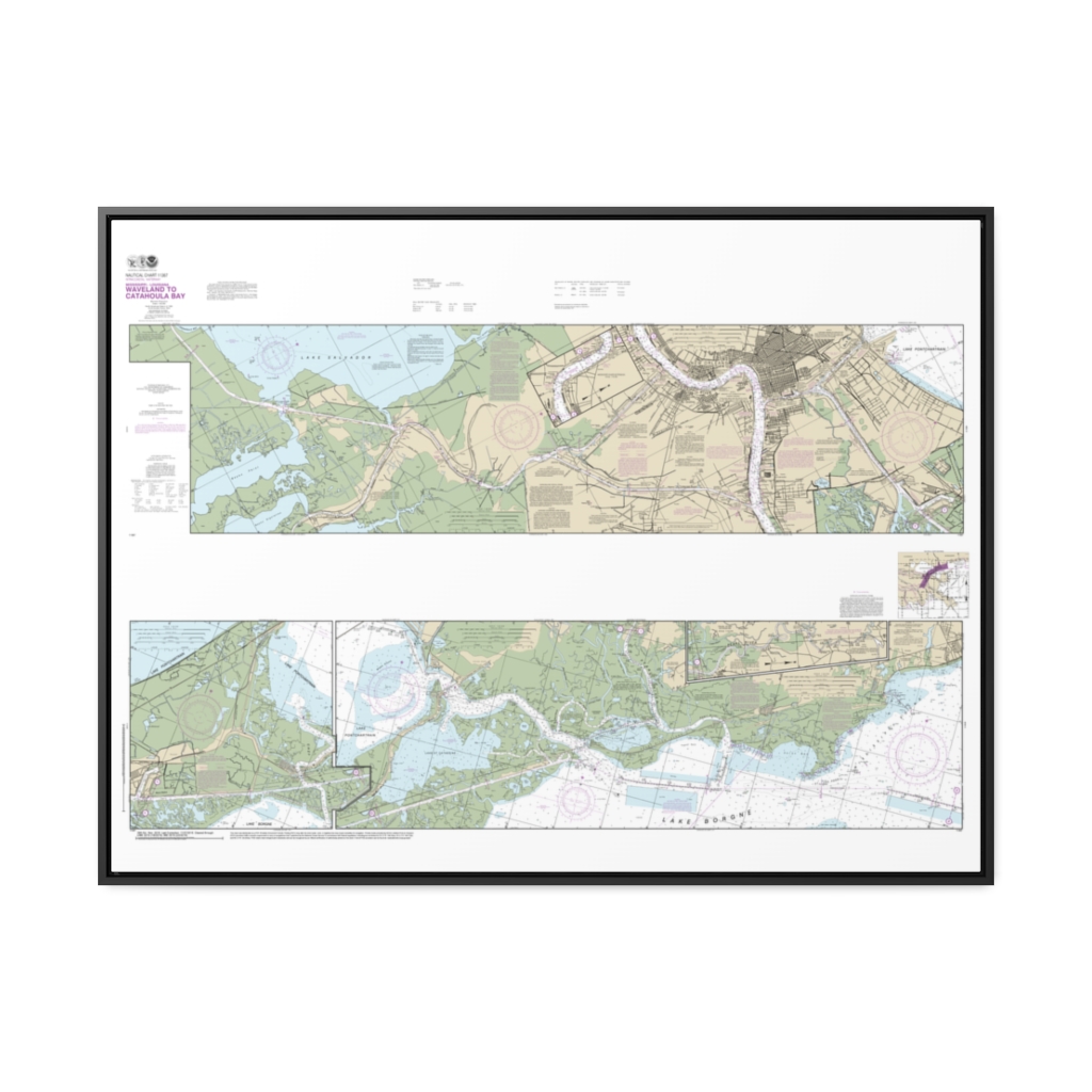
Intracoastal Waterway Waveland to Catahoula Bay Nautical Chart 11367 – Floating Frame Canvas
From: $164.95PREMIUM FLOATING FRAME CANVASDistance from your search: 546mi -
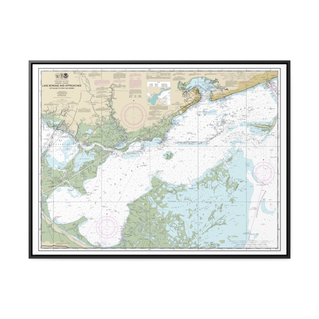
Lake Borgne and approaches Cat Island to Point aux Herbes Nautical Chart 11371 – Floating Frame Canvas
From: $184.95PREMIUM FLOATING FRAME CANVASDistance from your search: 547.4mi -
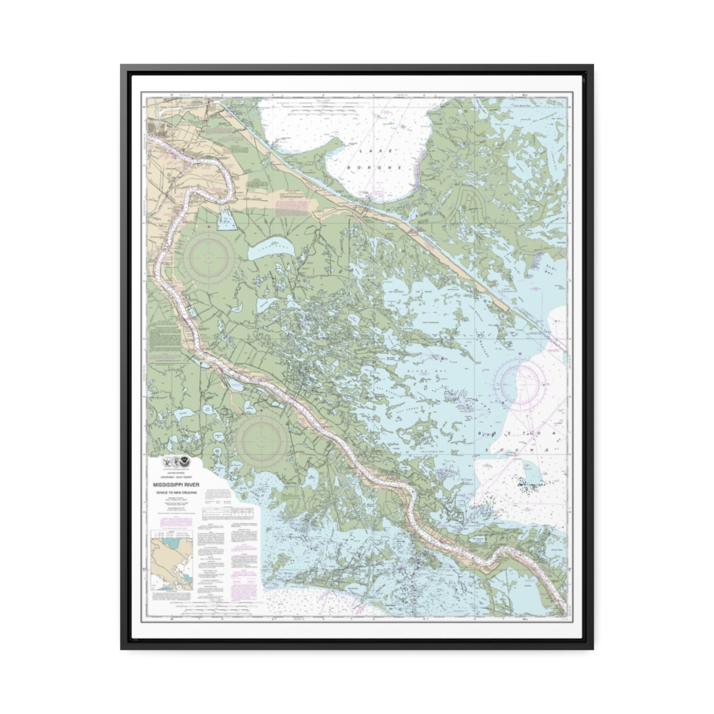
Mississippi River-Venice to New Orleans Nautical Chart 11364 – Floating Frame Canvas
From: $184.95PREMIUM FLOATING FRAME CANVASDistance from your search: 555.4mi -
 11oz From $14.21 15oz From $16.46
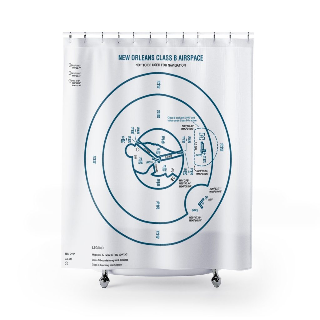
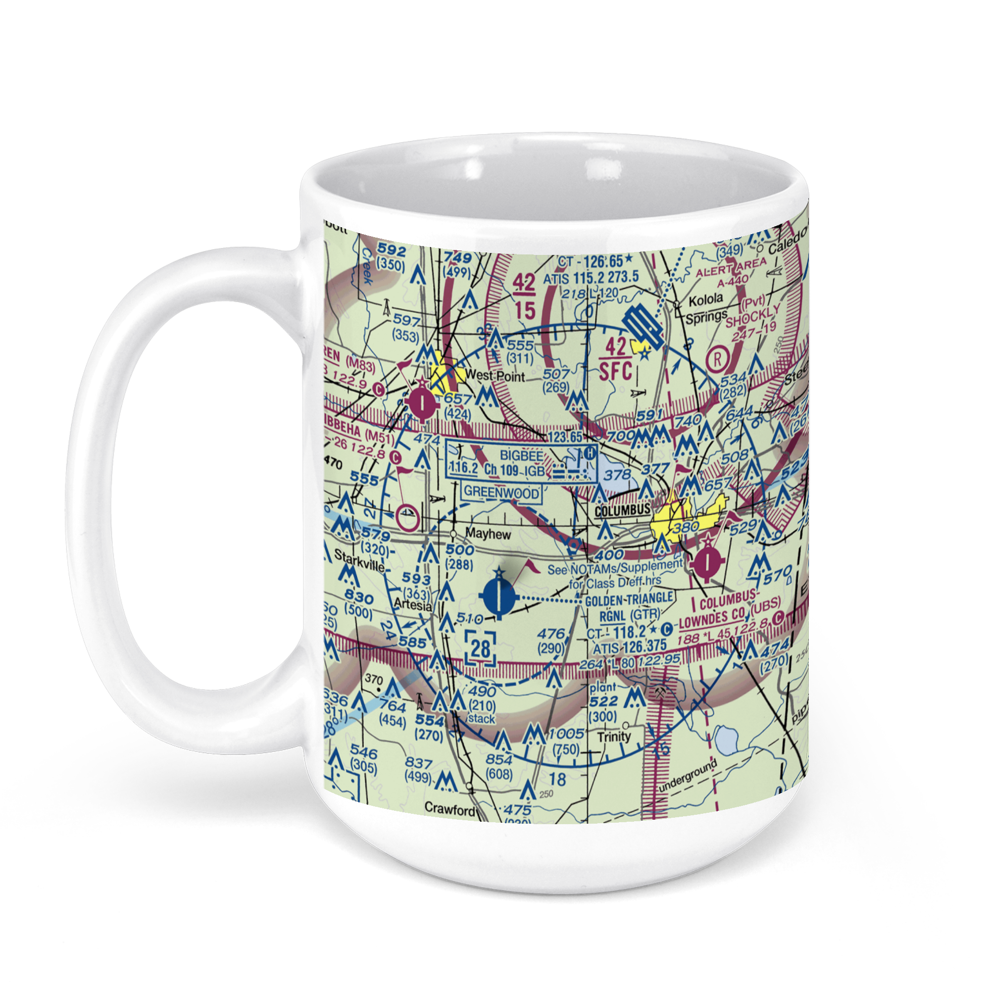
Golden Triangle Regional Airport, Airport Road, Columbus, MS, USA FAA Sectional Aeronautical Charts Chart Mug
From: $18.95MIX, MATCH & SAVE! UP TO 25% OFFDistance from your search: 556.1mi -
Distance from your search: 559.7mi
-
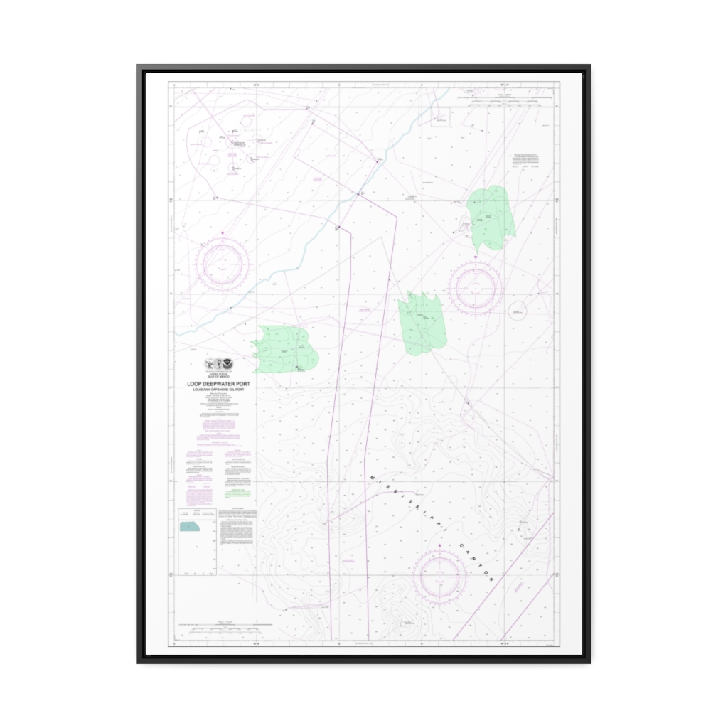
Loop Deepwater Port Louisiana Offshore Oil Port Nautical Chart 11359 – Floating Frame Canvas
From: $184.95PREMIUM FLOATING FRAME CANVASDistance from your search: 560.2mi -

New Orleans Lake Pontchartrain Floating Frame Canvas Nautical Chart
From: $130.00PREMIUM FLOATING FRAME CANVASDistance from your search: 564mi -
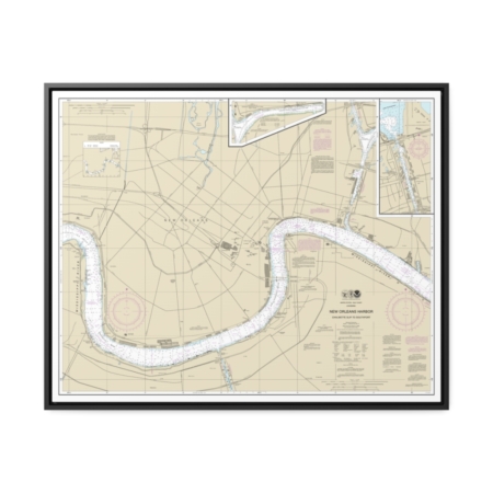
New Orleans Harbor Chalmette Slip to Southport Nautical Chart 11368 – Floating Frame Canvas
From: $184.95PREMIUM FLOATING FRAME CANVASDistance from your search: 564.2mi -
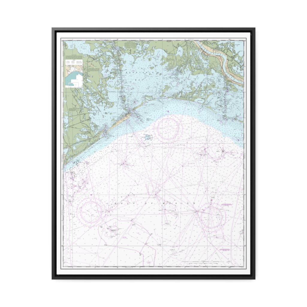
Barataria Bay and approaches Nautical Chart 11358 – Floating Frame Canvas
From: $184.95PREMIUM FLOATING FRAME CANVASDistance from your search: 565.7mi -
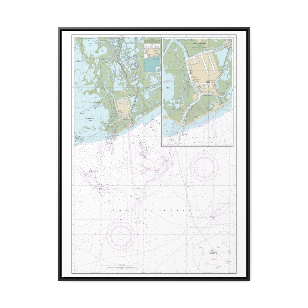
Port Fourchon and Approaches Nautical Chart 11346 – Floating Frame Canvas
From: $184.95PREMIUM FLOATING FRAME CANVASDistance from your search: 567.7mi -
Distance from your search: 570mi
-
Distance from your search: 571.2mi
-
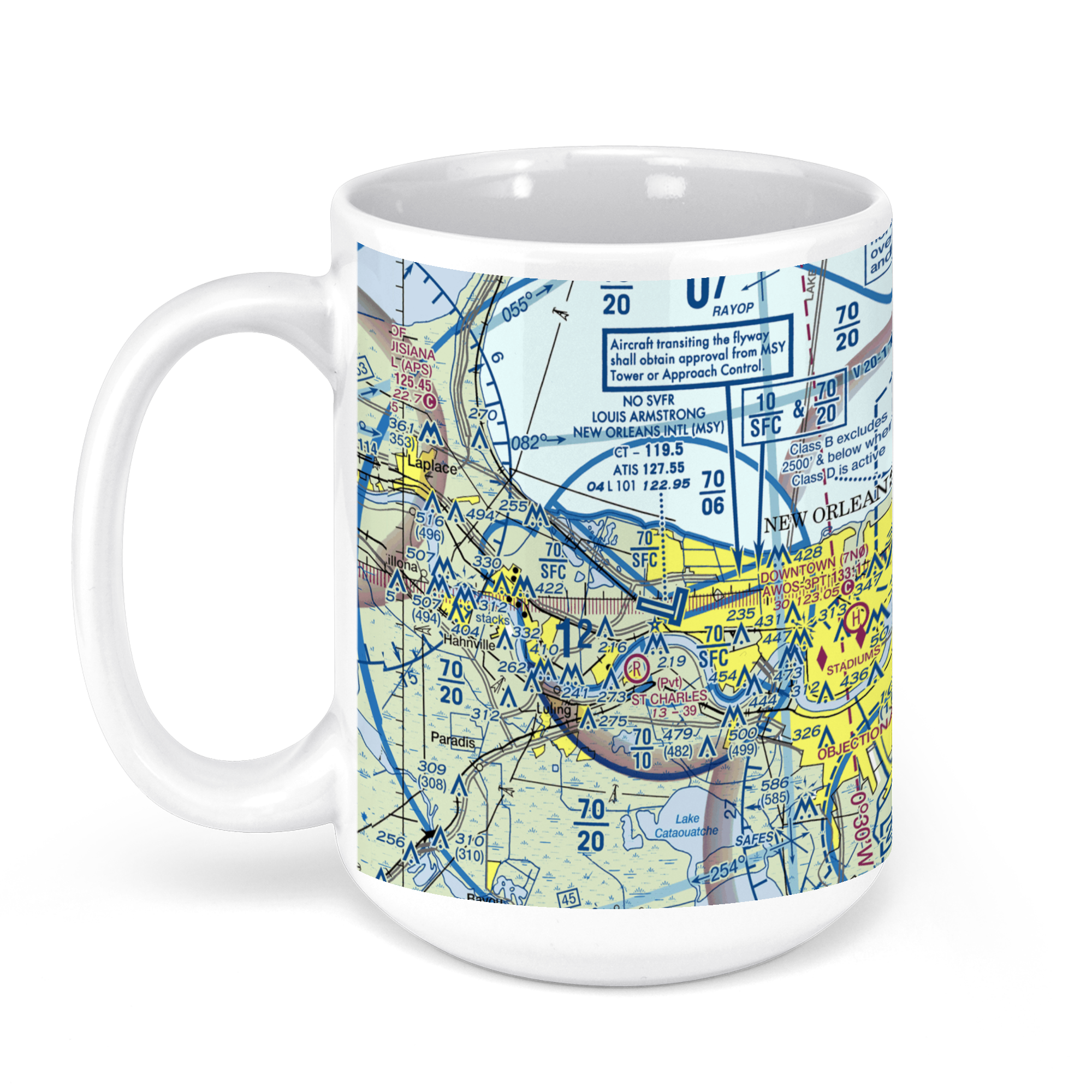 11oz From $14.21 15oz From $16.46
Louis Armstrong New Orleans International Airport (MSY), Terminal Drive, Kenner, LA, USA FAA Sectional Aeronautical Charts Chart Mug
From: $18.95MIX, MATCH & SAVE! UP TO 25% OFFDistance from your search: 571.2mi -
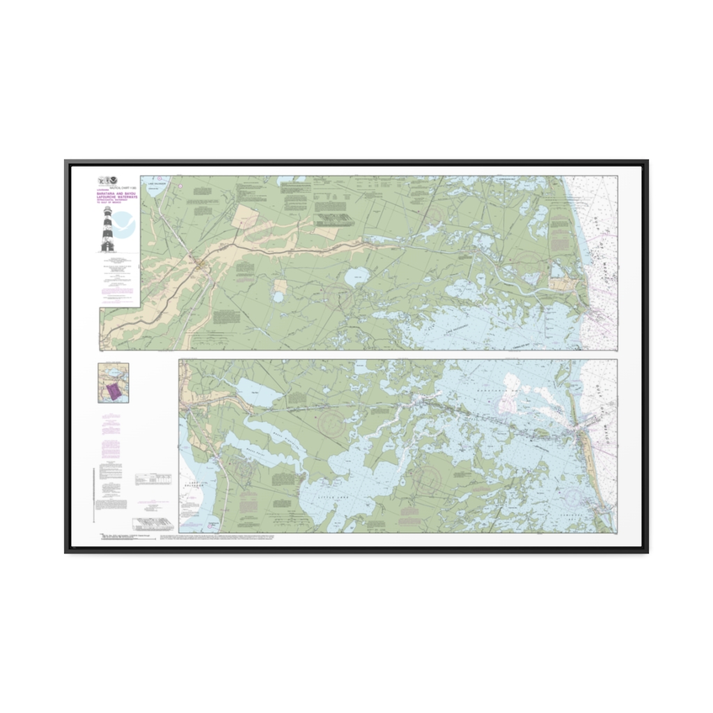
Barataria and Bayou Lafourche Waterways Intracoastal Waterway to Gulf of Mexico Nautical Chart 11365 – Floating Frame Canvas
From: $164.95PREMIUM FLOATING FRAME CANVASDistance from your search: 571.8mi