- Display 24 Products per page
-
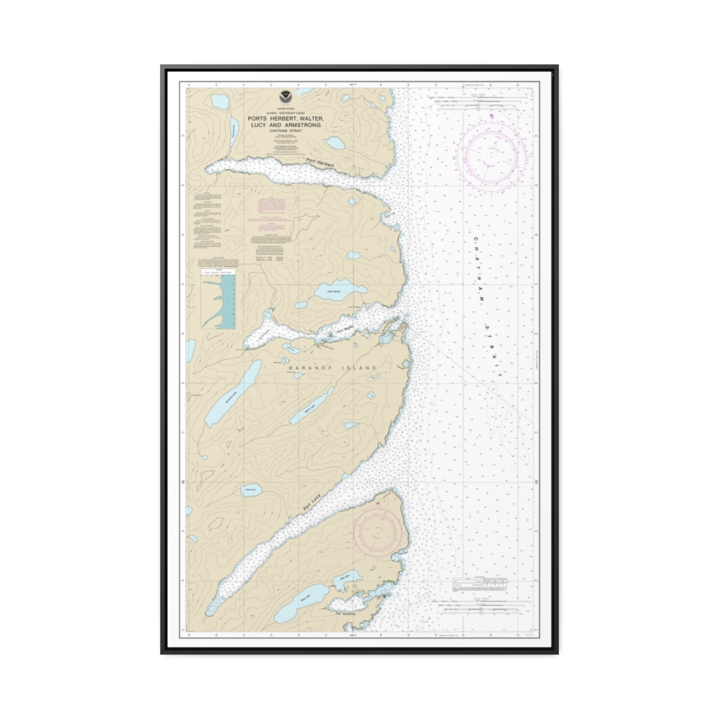
Ports Herbert, Walter, Lucy and Armstrong Nautical Chart 17333 – Floating Frame Canvas
From: $164.95PREMIUM FLOATING FRAME CANVASDistance from your search: 1474.9mi -
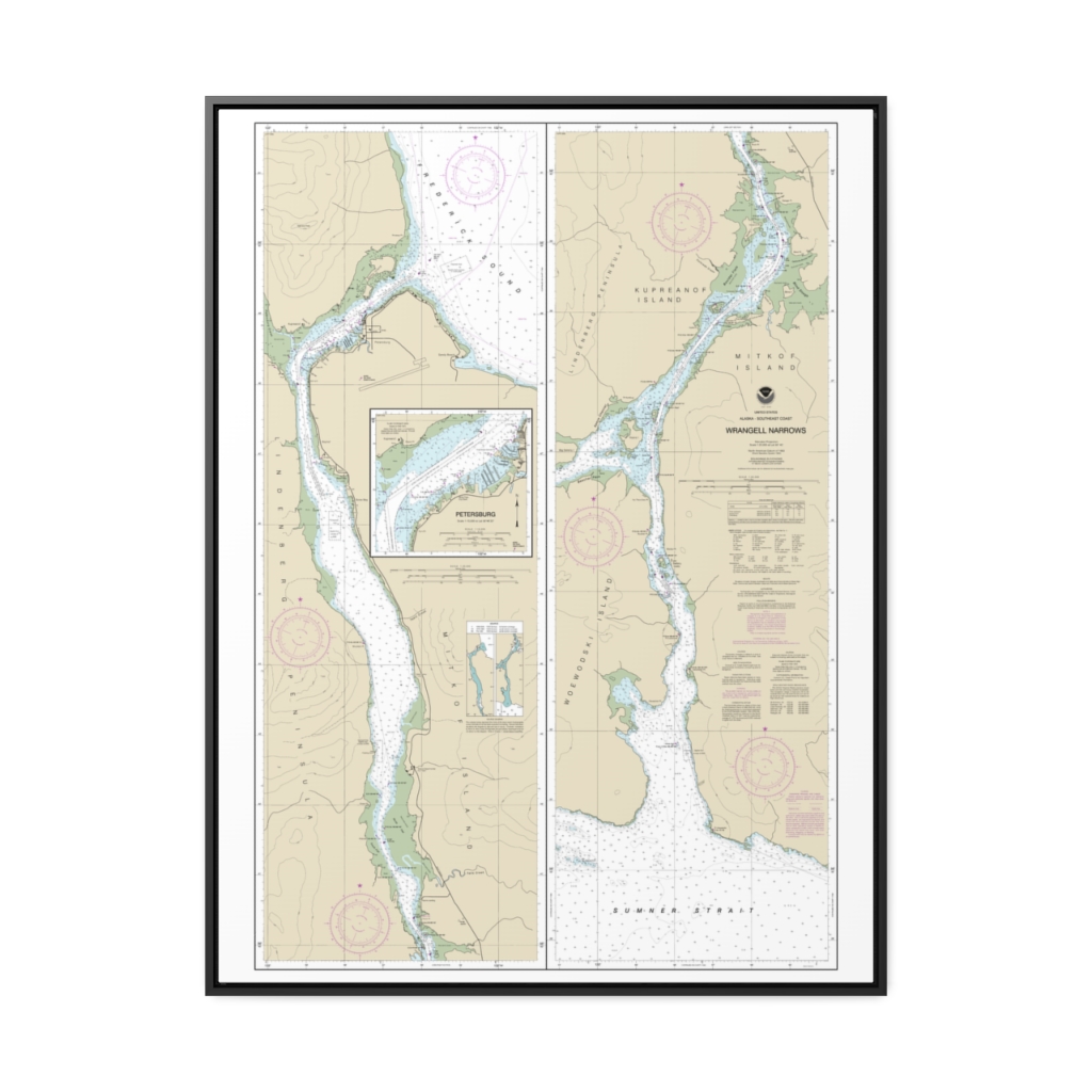
Wrangell Narrows Petersburg Harbor Nautical Chart 17375 – Floating Frame Canvas
From: $184.95PREMIUM FLOATING FRAME CANVASDistance from your search: 1475.4mi -
Distance from your search: 1477.7mi
-
 11oz From $14.21 15oz From $16.46
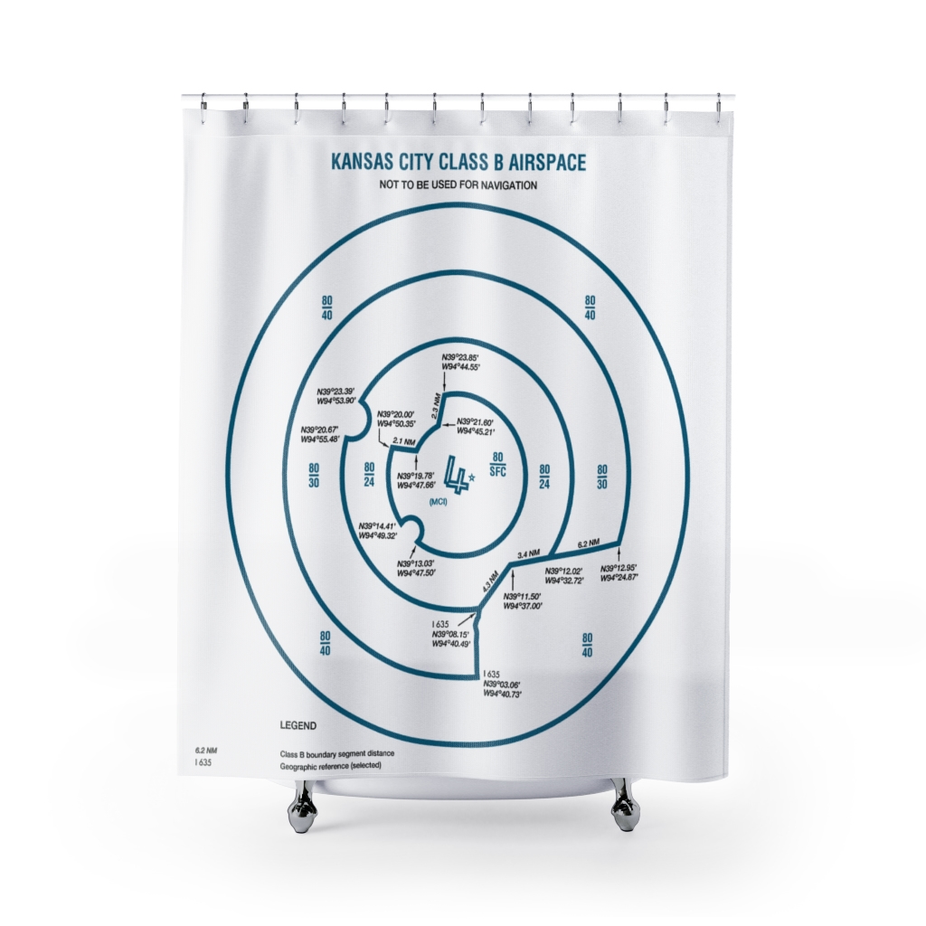
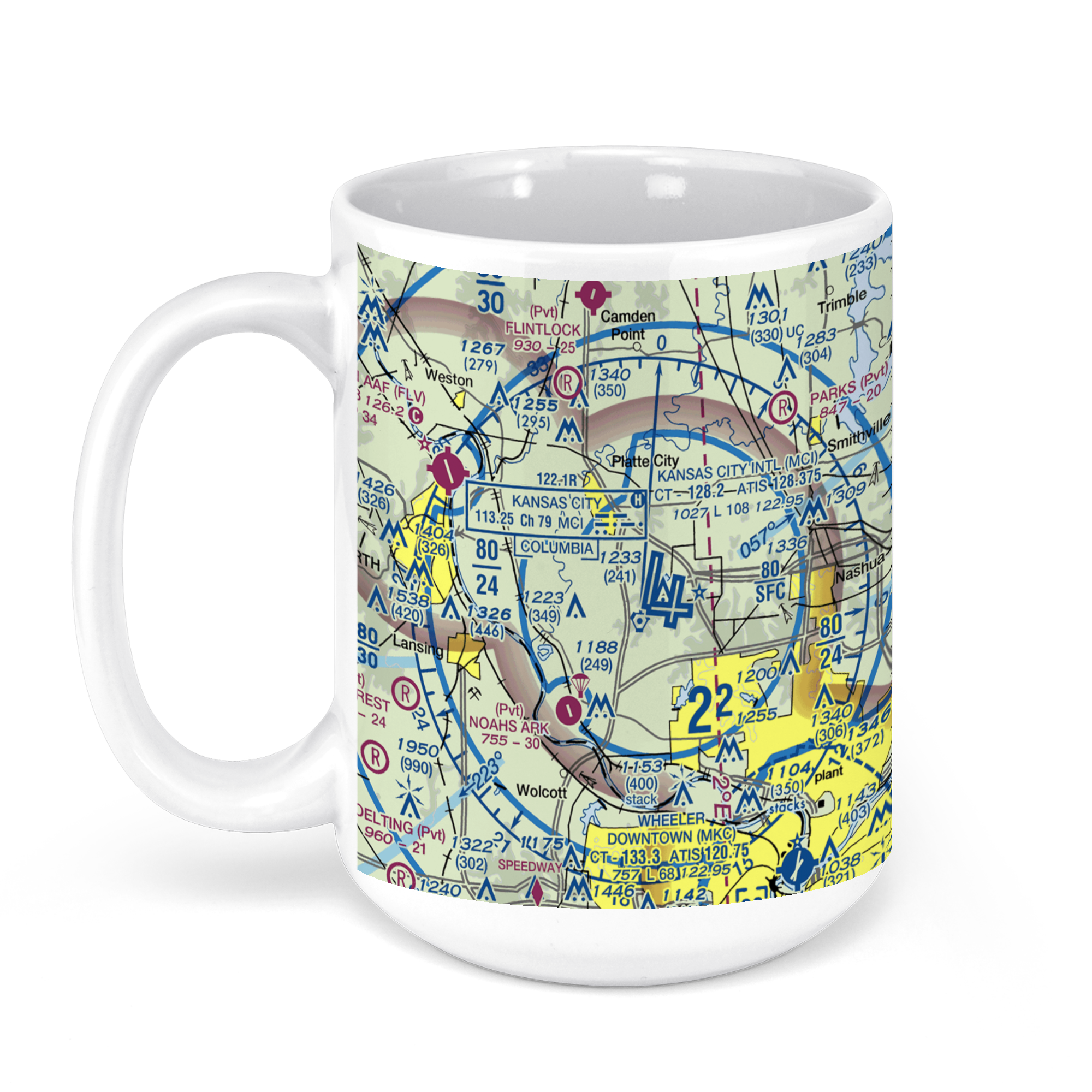
Kansas City International Airport-Mci (MCI), Kansas City, MO, USA FAA Sectional Aeronautical Charts Chart Mug
From: $18.95MIX, MATCH & SAVE! UP TO 25% OFFDistance from your search: 1477.7mi -
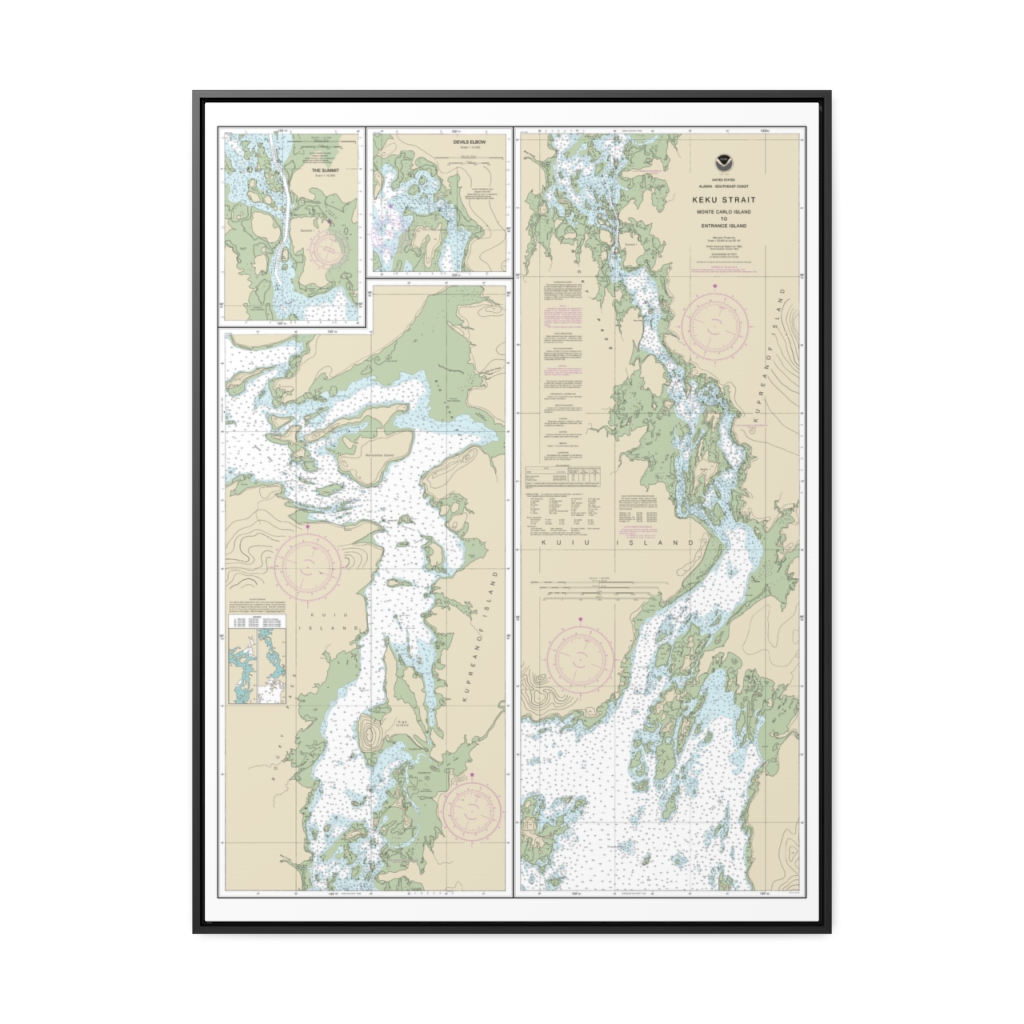
Keku Strait-Monte Carlo Island to Entrance Island The Summit Devils Elbow Nautical Chart 17372 – Floating Frame Canvas
From: $184.95PREMIUM FLOATING FRAME CANVASDistance from your search: 1479.6mi -
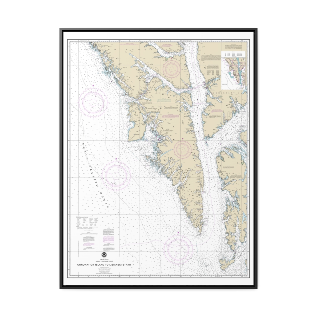
Coronation Island to Lisianski Strait Nautical Chart 17320 – Floating Frame Canvas
From: $184.95PREMIUM FLOATING FRAME CANVASDistance from your search: 1487.2mi -
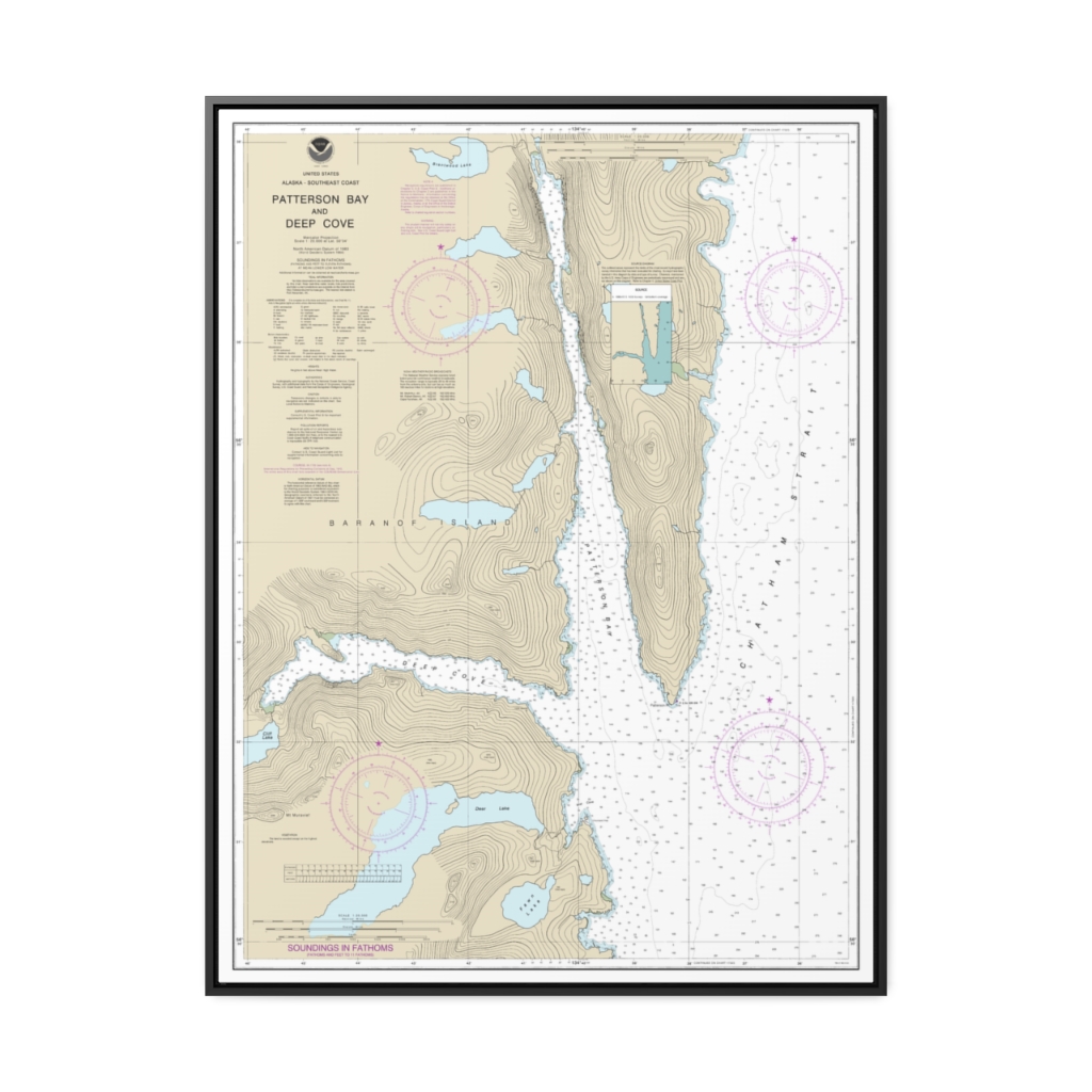
Patterson Bay and Deep Cove Nautical Chart 17335 – Floating Frame Canvas
From: $184.95PREMIUM FLOATING FRAME CANVASDistance from your search: 1487.7mi -
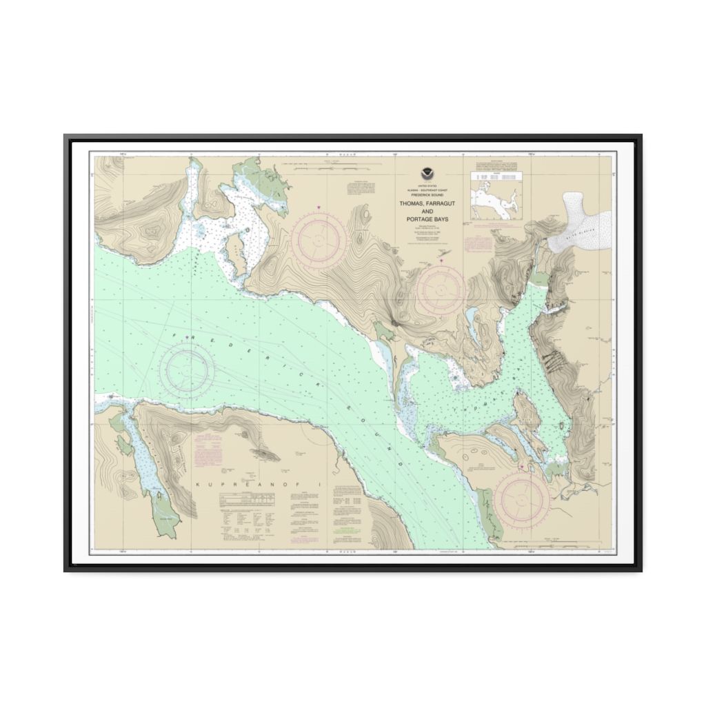
Thomas, Farragut, and Portage Bays, Frederick Sound Nautical Chart 17367 – Floating Frame Canvas
From: $184.95PREMIUM FLOATING FRAME CANVASDistance from your search: 1488.8mi -
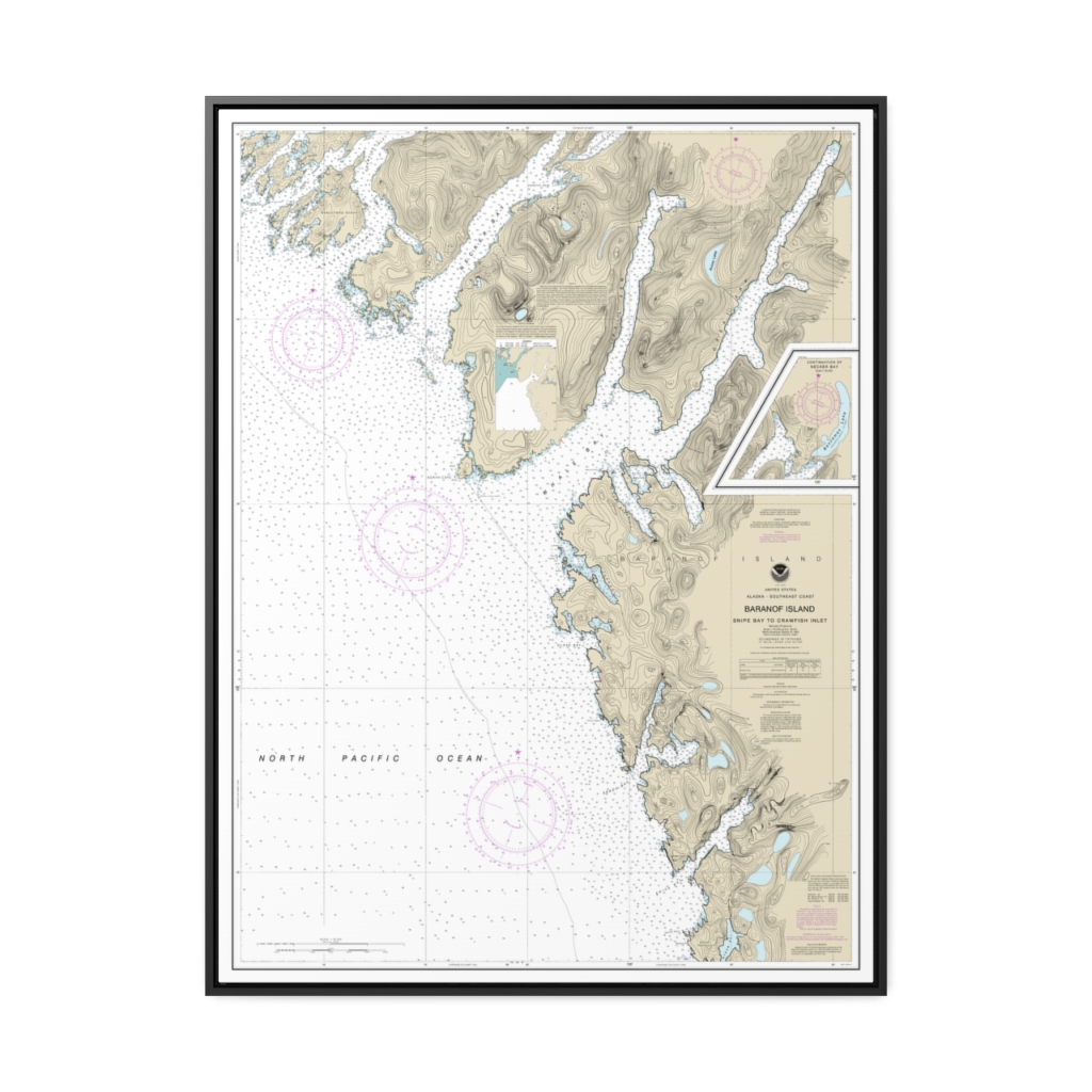
Snipe Bay to Crawfish Inlet,Baranof l. Nautical Chart 17328 – Floating Frame Canvas
From: $184.95PREMIUM FLOATING FRAME CANVASDistance from your search: 1491mi -
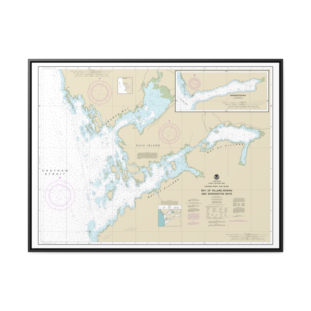
Bay of Pillars and Rowan Bay, Chatham Strait Washington Bay, Chatham Strait Nautical Chart 17370 – Floating Frame Canvas
From: $184.95PREMIUM FLOATING FRAME CANVASDistance from your search: 1494.1mi -
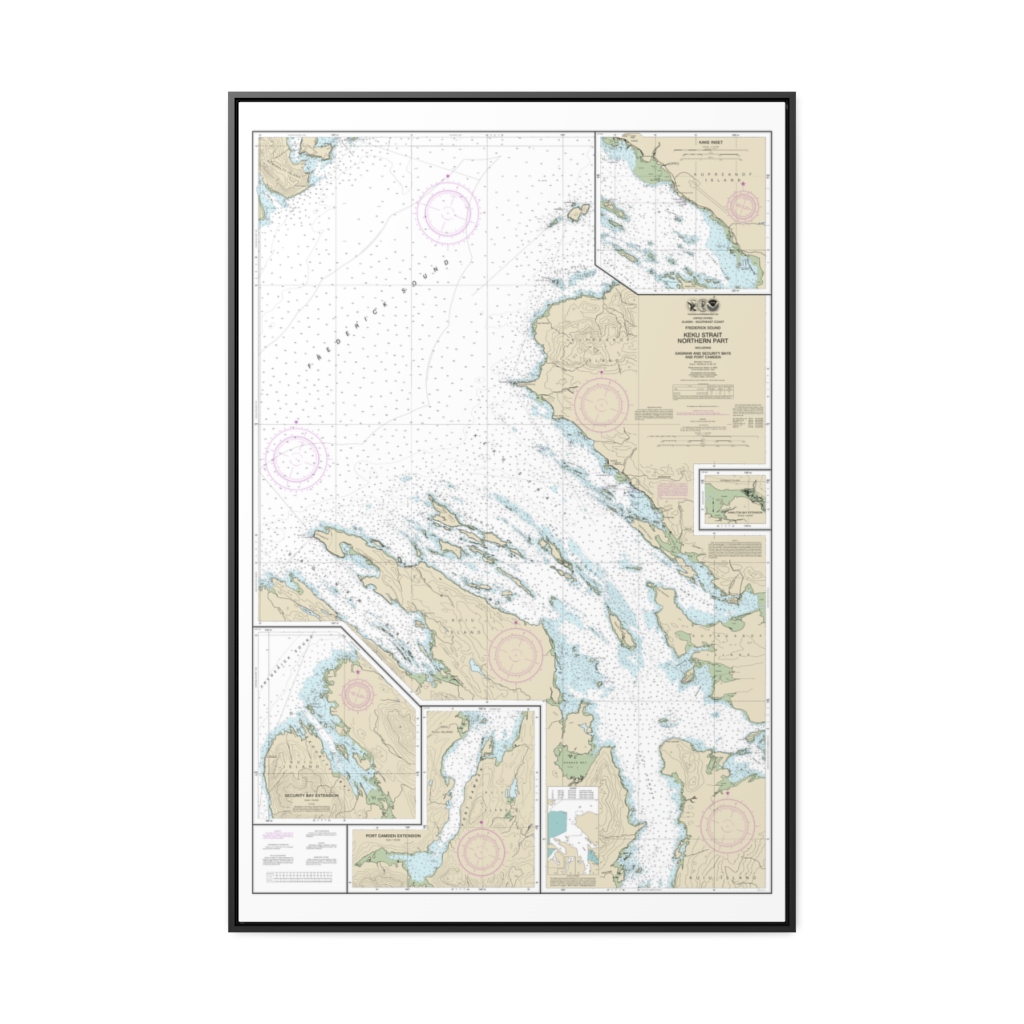
Keku Strait-northern part, including Saginaw and Security Bays and Port Camden;Kake Inset Nautical Chart 17368 – Floating Frame Canvas
From: $164.95PREMIUM FLOATING FRAME CANVASDistance from your search: 1500.2mi -
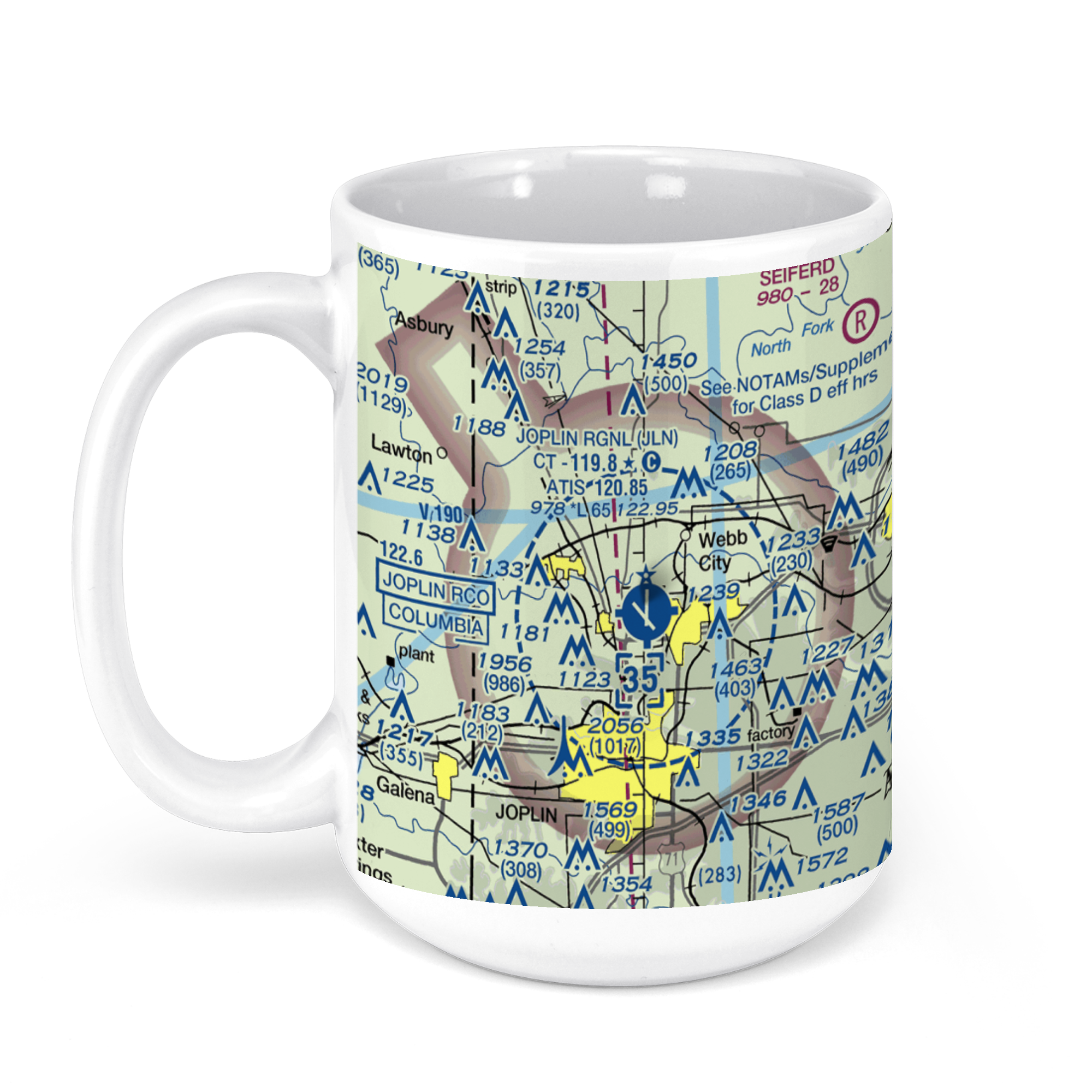 11oz From $14.21 15oz From $16.46
Joplin Regional Airport (JLN), Missouri 43, Joplin, MO, USA FAA Sectional Aeronautical Charts Chart Mug
From: $18.95MIX, MATCH & SAVE! UP TO 25% OFFDistance from your search: 1501mi -
Harbors in Chatham Strait and vicinity Gut Bay, Chatham Strait Hoggatt Bay, Chatham Strait Red Bluff Bay, Chatham Strait Herring Bay and Chapin Bay, Frederick Sound Surprise Hbr, and Murder Cove, Frederick Sound Nautical Chart 17336 – Floating Frame Canvas
From: $139.95PREMIUM FLOATING FRAME CANVASDistance from your search: 1508.9mi -
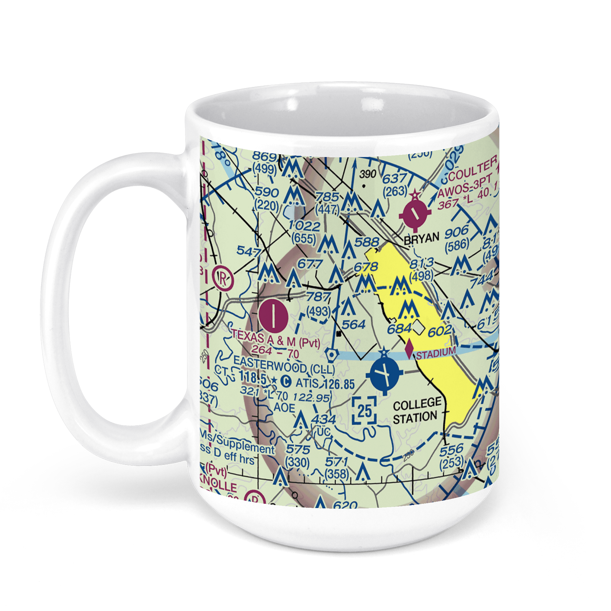 11oz From $14.21 15oz From $16.46
Easterwood Airport, McKenzie Terminal Boulevard, College Station, TX, USA FAA Sectional Aeronautical Charts Chart Mug
From: $18.95MIX, MATCH & SAVE! UP TO 25% OFFDistance from your search: 1517.8mi -
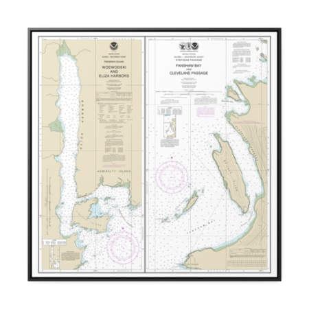
Woewodski and Eliza Hbrs. Fanshaw Bay and Cleveland Passage Nautical Chart 17365 – Floating Frame Canvas
From: $139.95PREMIUM FLOATING FRAME CANVASDistance from your search: 1518.6mi -
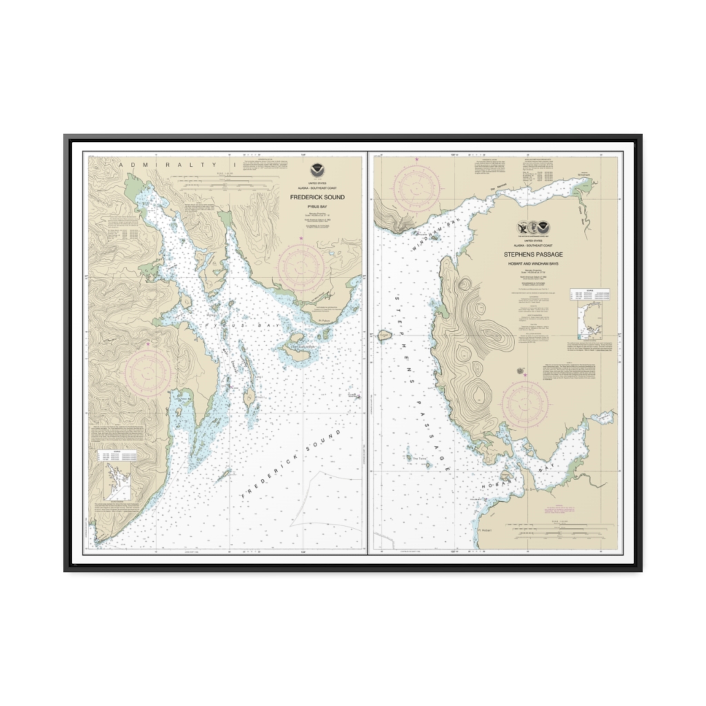
Pybus Bay, Frederick Sound Hobart and Windham Bays, Stephens P. Nautical Chart 17363 – Floating Frame Canvas
From: $184.95PREMIUM FLOATING FRAME CANVASDistance from your search: 1519mi -
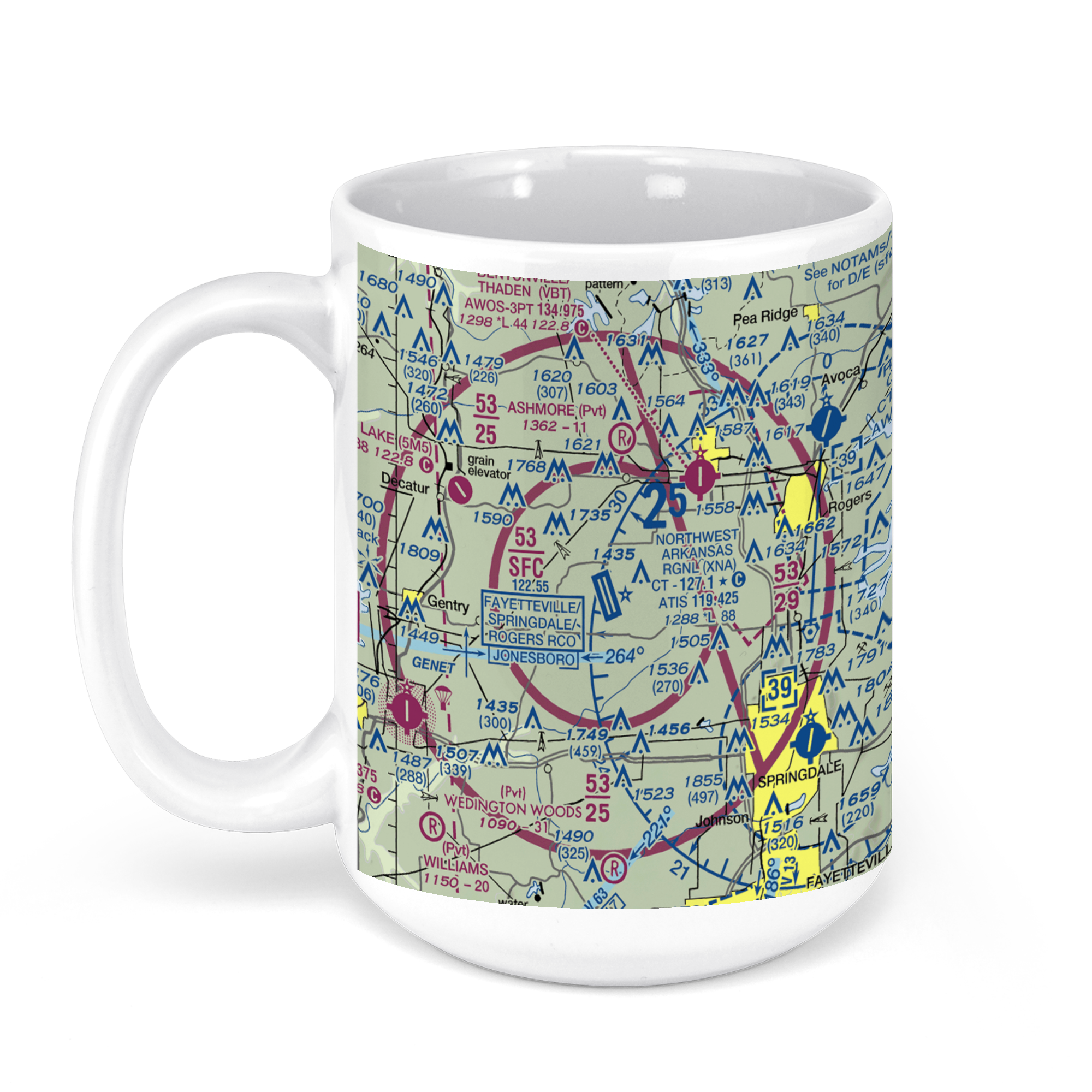 11oz From $14.21 15oz From $16.46
Northwest Arkansas Regional Airport (XNA), Airport Boulevard, Bentonville, AR, USA FAA Sectional Aeronautical Charts Chart Mug
From: $18.95MIX, MATCH & SAVE! UP TO 25% OFFDistance from your search: 1520.9mi -
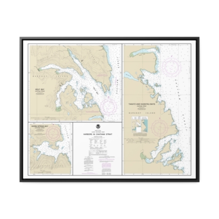
Harbors in Chatham Strait Kelp Bay Warm Spring Bay Takatz and Kasnyku Bays Nautical Chart 17337 – Floating Frame Canvas
From: $184.95PREMIUM FLOATING FRAME CANVASDistance from your search: 1523.1mi -
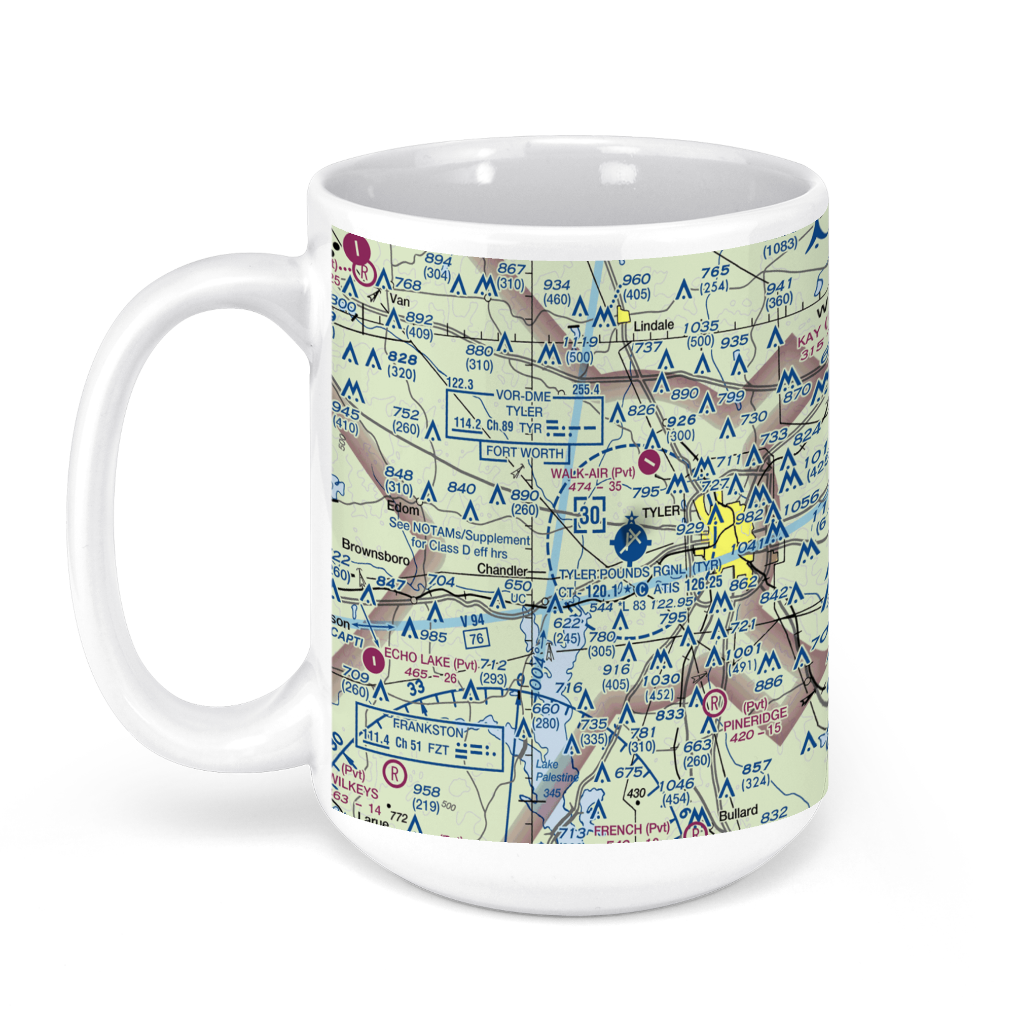 11oz From $14.21 15oz From $16.46
Tyler Pounds Regional Airport, Skyway Boulevard, Tyler, TX, USA FAA Sectional Aeronautical Charts Chart Mug
From: $18.95MIX, MATCH & SAVE! UP TO 25% OFFDistance from your search: 1526.7mi -
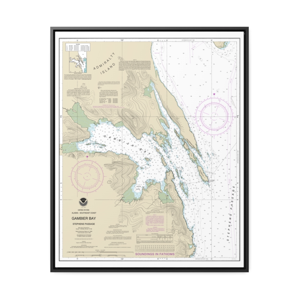
Gambier Bay, Stephens Passage Nautical Chart 17362 – Floating Frame Canvas
From: $184.95PREMIUM FLOATING FRAME CANVASDistance from your search: 1528.6mi -
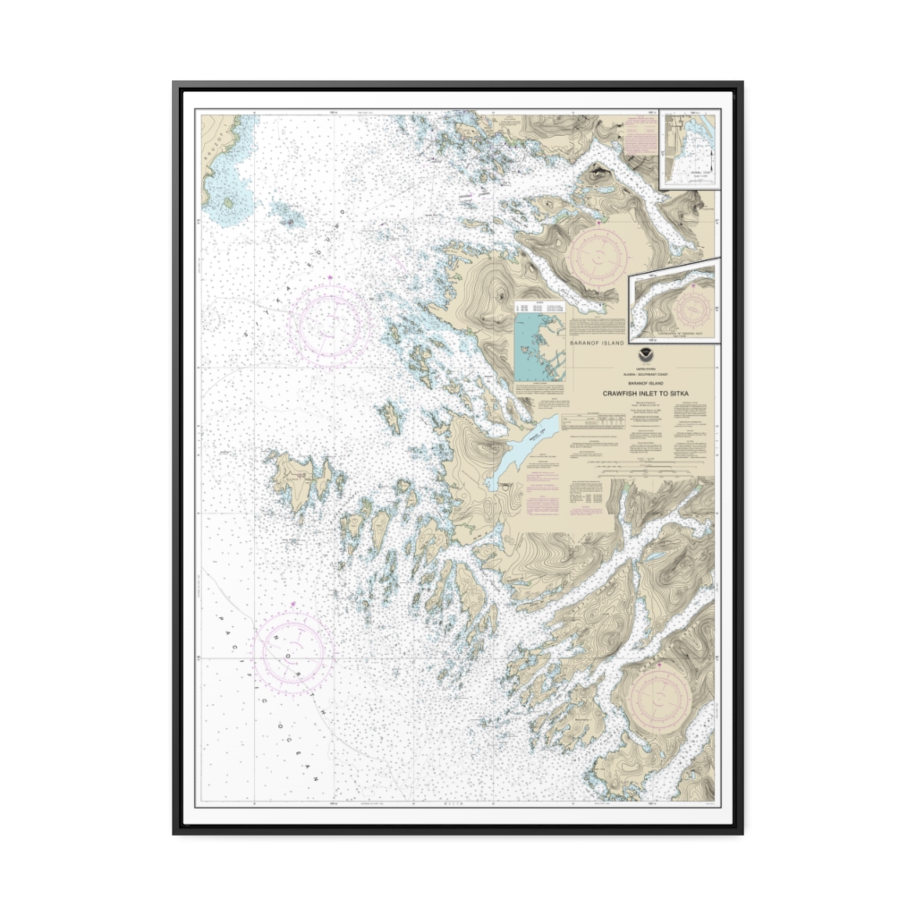
Crawfish Inlet to Sitka, Baranof I. Sawmill Cove Nautical Chart 17326 – Floating Frame Canvas
From: $184.95PREMIUM FLOATING FRAME CANVASDistance from your search: 1529.3mi -
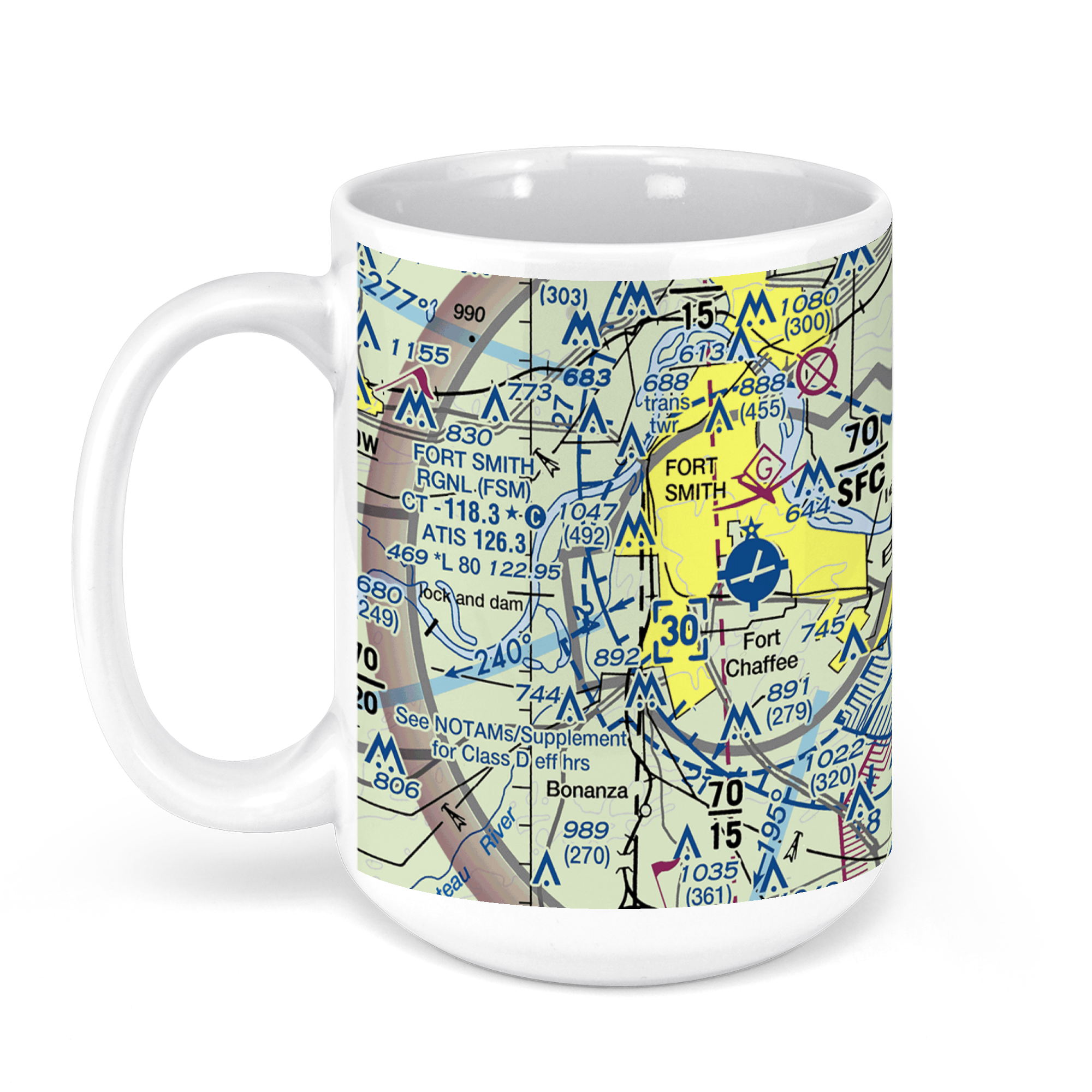 11oz From $14.21 15oz From $16.46
Fort Smith Regional Airport-Fsm, McKennon Boulevard, Fort Smith, AR, USA FAA Sectional Aeronautical Charts Chart Mug
From: $18.95MIX, MATCH & SAVE! UP TO 25% OFFDistance from your search: 1529.7mi -
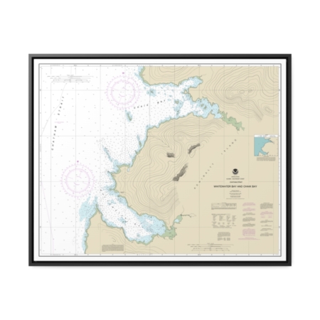
Whitewater Bay and Chaik Bay, Chatham Strait Nautical Chart 17341 – Floating Frame Canvas
From: $184.95PREMIUM FLOATING FRAME CANVASDistance from your search: 1530.1mi -
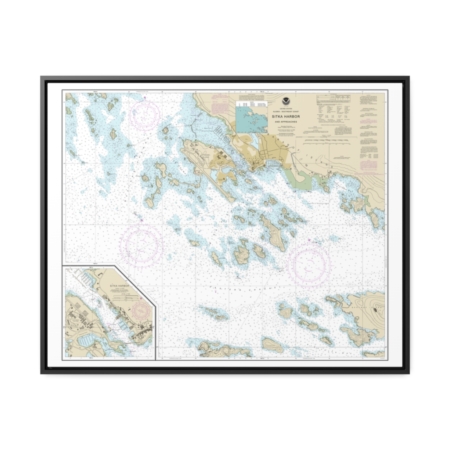
Sitka Harbor and approaches Sitka Harbor Nautical Chart 17327 – Floating Frame Canvas
From: $184.95PREMIUM FLOATING FRAME CANVASDistance from your search: 1531.7mi

