- Display 24 Products per page
-
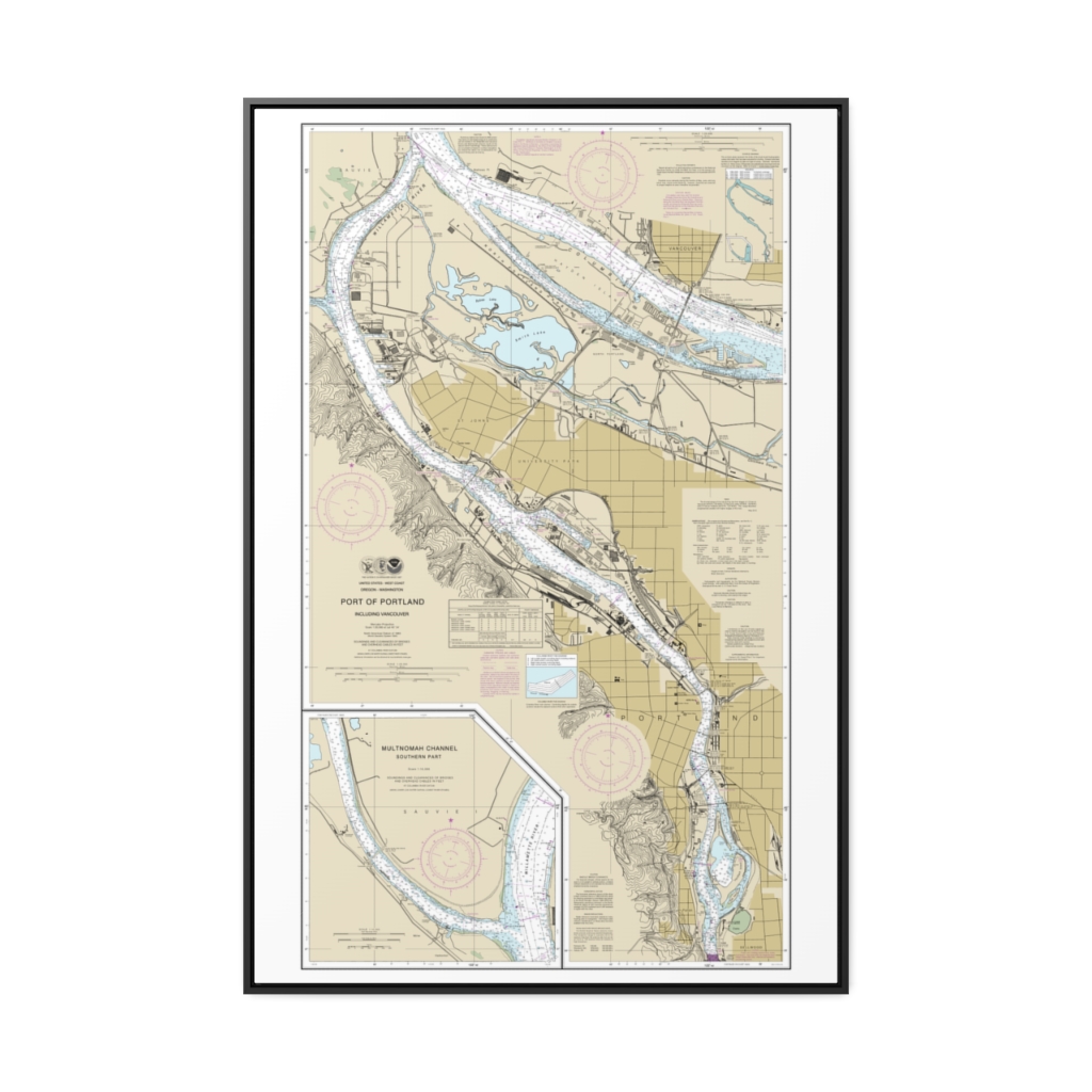
Port of Portland, Including Vancouver;Multnomah Channel-southern part Nautical Chart 18526 – Floating Frame Canvas
From: $164.95PREMIUM FLOATING FRAME CANVASDistance from your search: 88.6mi -
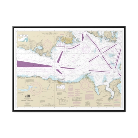
Strait of Juan de Fuca-eastern part Nautical Chart 18465 – Floating Frame Canvas
From: $184.95PREMIUM FLOATING FRAME CANVASDistance from your search: 90mi -
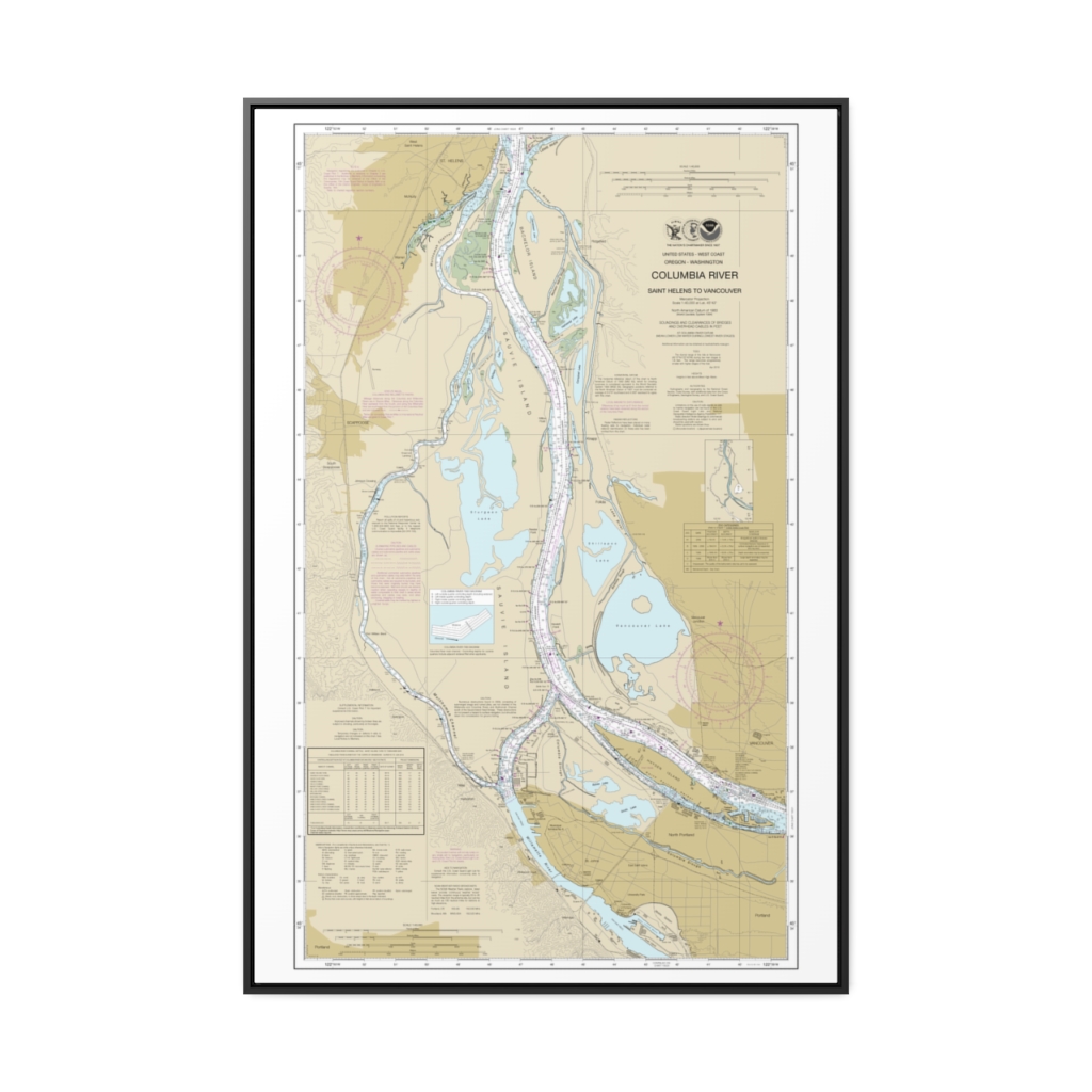
Columbia River Saint Helens to Vancouver Nautical Chart 18525 – Floating Frame Canvas
From: $164.95PREMIUM FLOATING FRAME CANVASDistance from your search: 90mi -
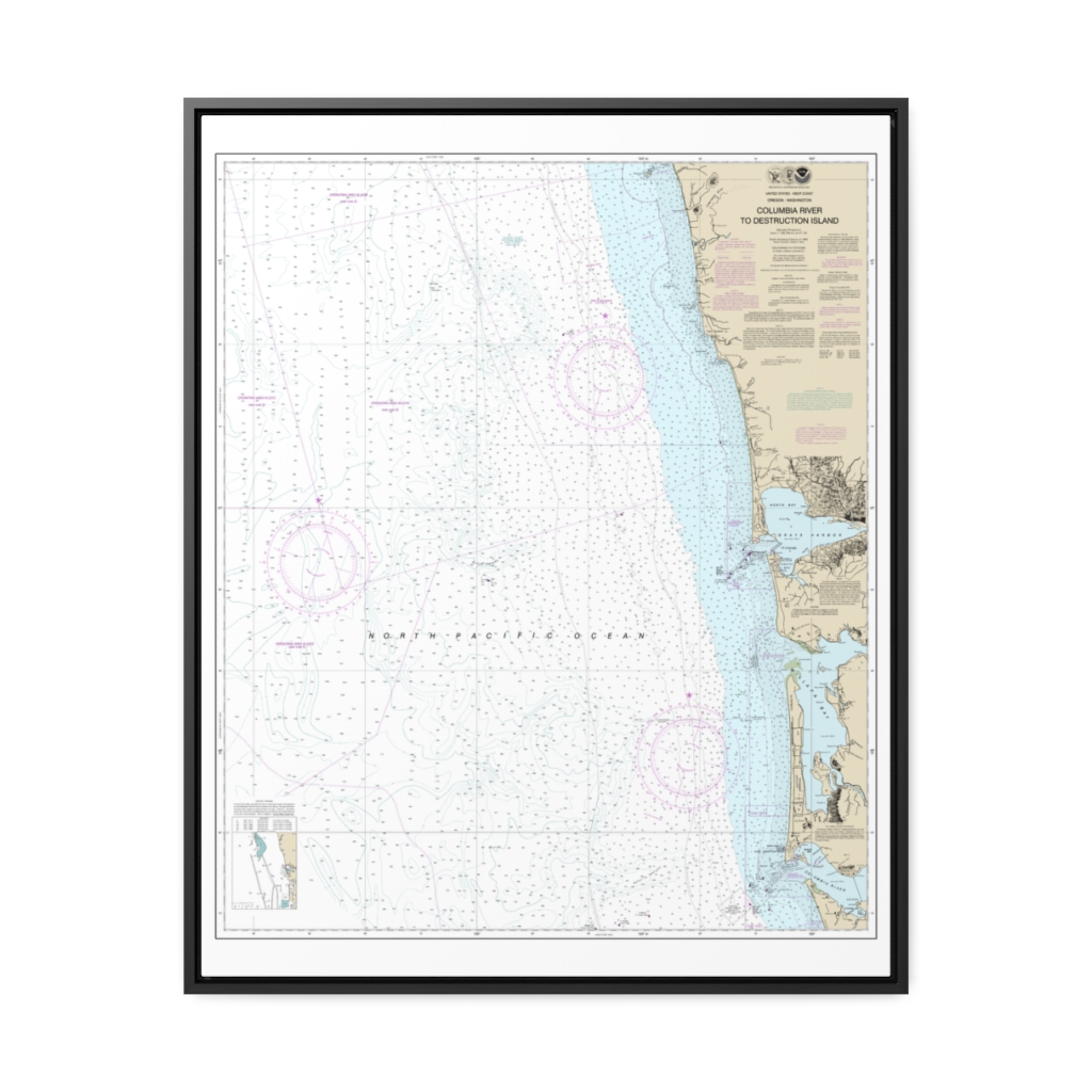
Columbia River to Destruction Island Nautical Chart 18500 – Floating Frame Canvas
From: $184.95PREMIUM FLOATING FRAME CANVASDistance from your search: 92.3mi -
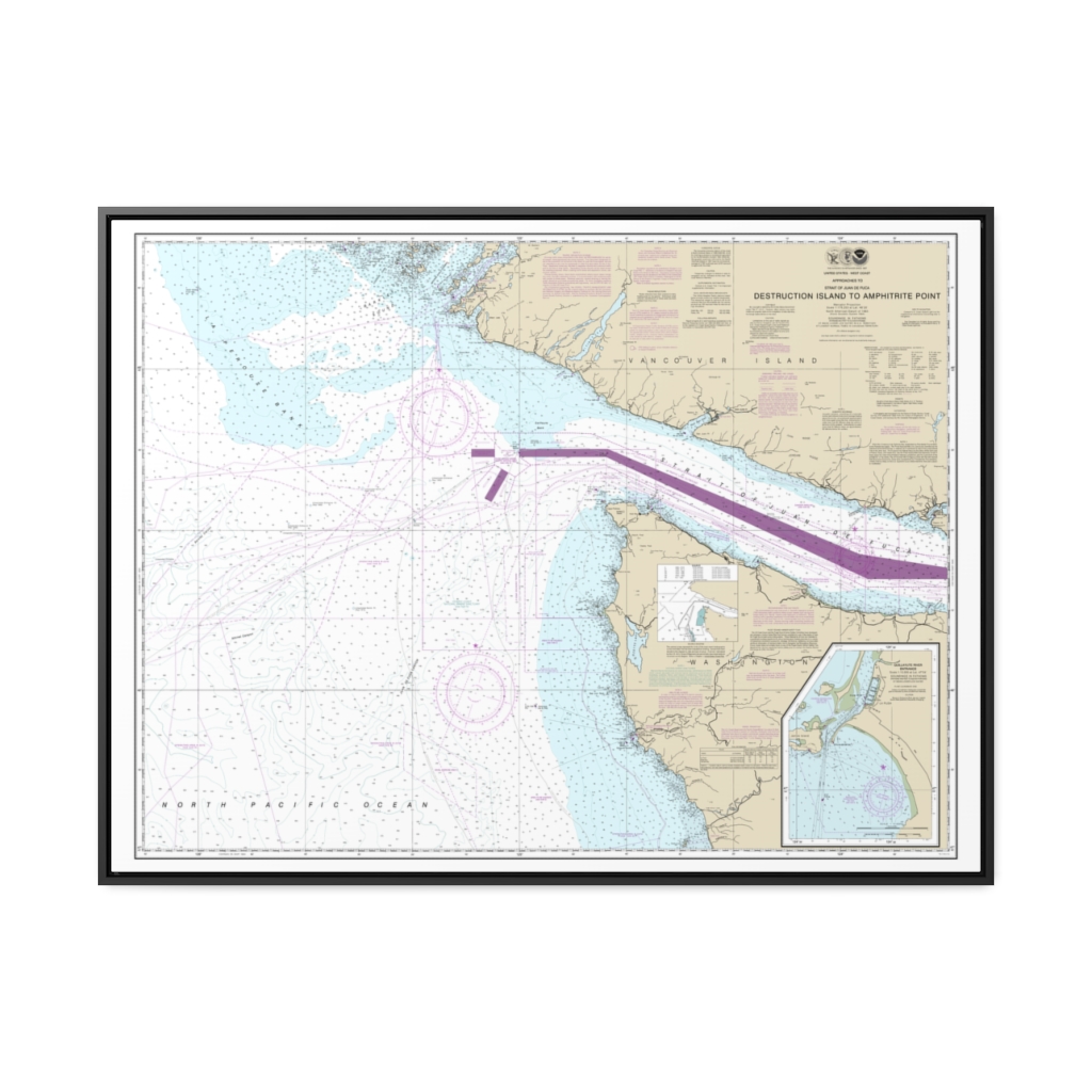
Approaches to Strait of Juan de Fuca Destruction lsland to Amphitrite Point Nautical Chart 18480 – Floating Frame Canvas
From: $184.95PREMIUM FLOATING FRAME CANVASDistance from your search: 93.2mi -
Willamette River-Swan Island Basin Nautical Chart 18527 – Floating Frame Canvas
From: $139.95PREMIUM FLOATING FRAME CANVASDistance from your search: 94.9mi -
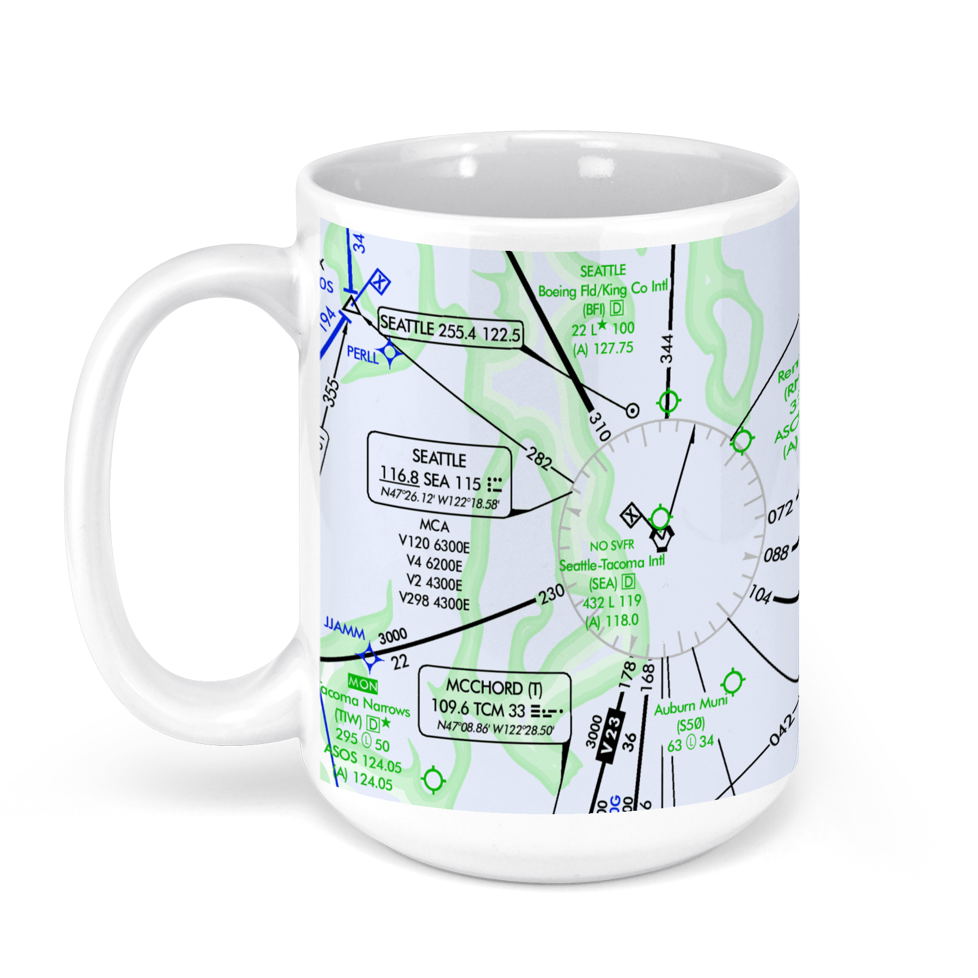 11oz From $14.21 15oz From $16.46
Signature Flight Support SEA – Seattle-Tacoma Int’l Airport, Starling Drive, Seattle, WA, USA FAA Aeronautical US IFR Enroute Low Charts Chart Mug
From: $18.95MIX, MATCH & SAVE! UP TO 25% OFFDistance from your search: 95.3mi -
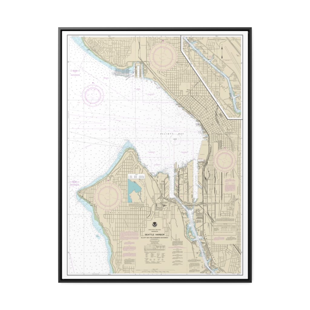
Seattle Harbor, Elliott Bay and Duwamish Waterway Nautical Chart 18450 – Floating Frame Canvas
From: $184.95PREMIUM FLOATING FRAME CANVASDistance from your search: 95.5mi -
Distance from your search: 96mi
-
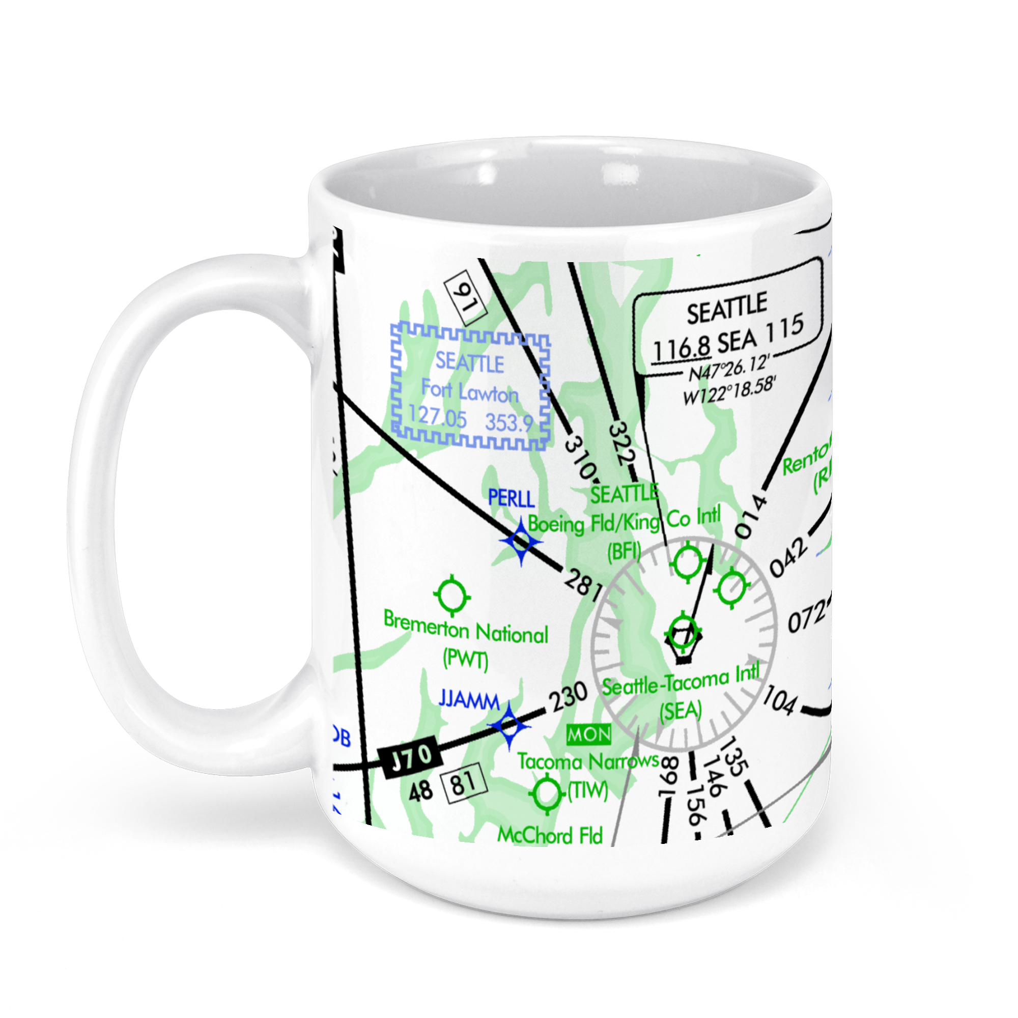 11oz From $14.21 15oz From $16.46
Seattle Tacoma Airport (SEA), International Boulevard, Seattle, WA, USA FAA Aeronautical US IFR Enroute High Charts Chart Mug
From: $18.95MIX, MATCH & SAVE! UP TO 25% OFFDistance from your search: 96mi -
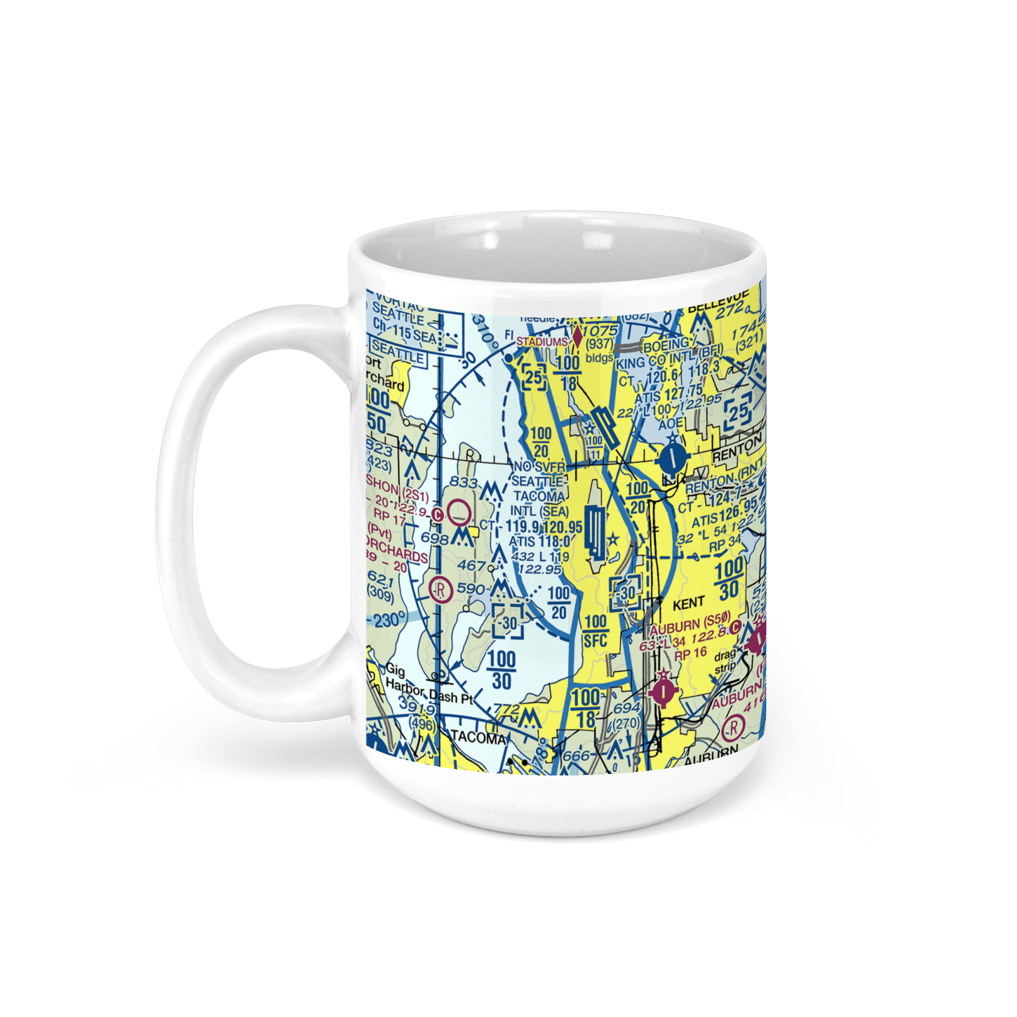 11oz From $14.21 15oz From $16.46
Seattle-Tacoma International Airport (SEA), International Boulevard, Seattle, WA, USA FAA Sectional Aeronautical Charts Chart Mug
From: $18.95MIX, MATCH & SAVE! UP TO 25% OFFDistance from your search: 96mi -
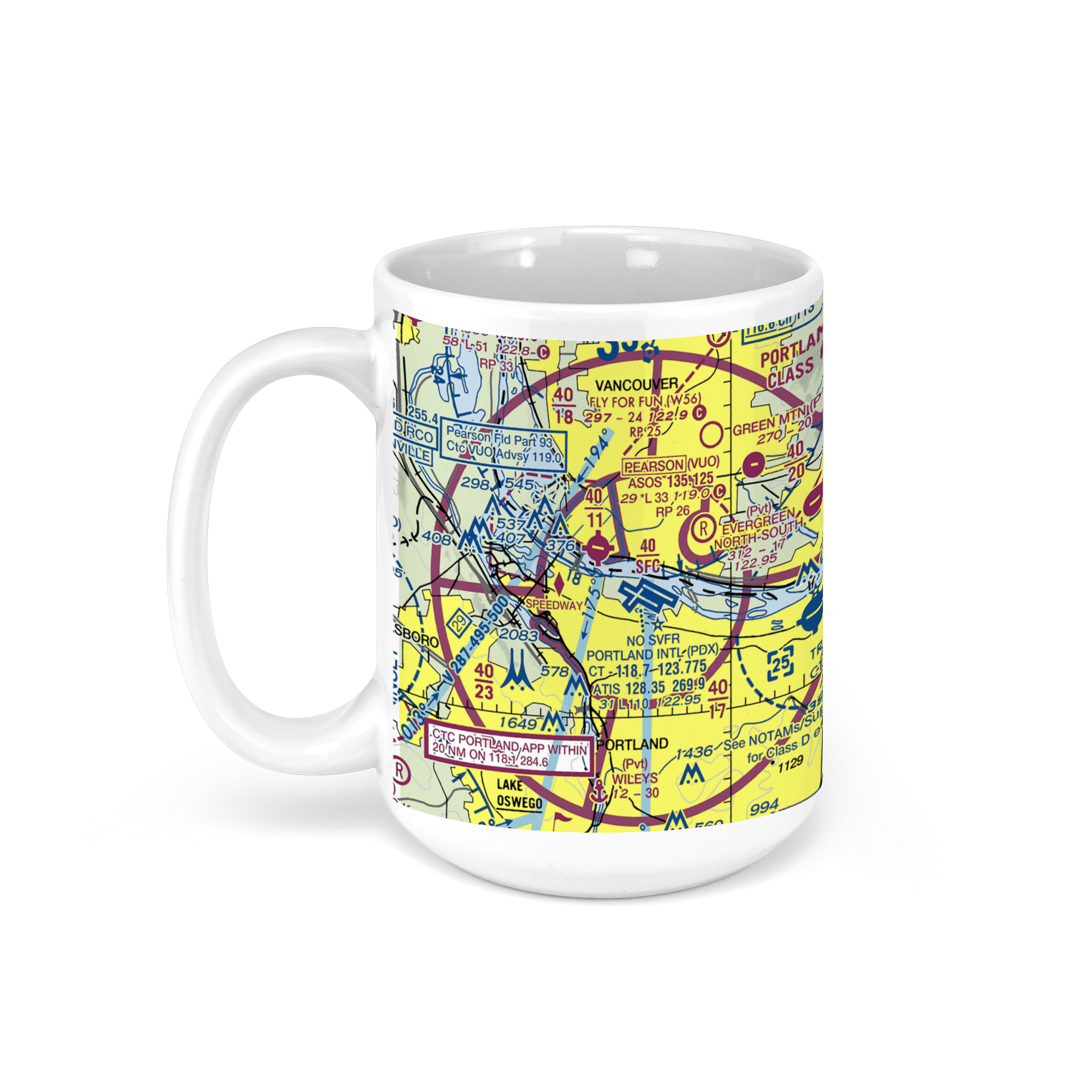 11oz From $14.21 15oz From $16.46
Portland International Airport (PDX), Portland, OR, USA FAA Sectional Aeronautical Charts Chart Mug
From: $18.95MIX, MATCH & SAVE! UP TO 25% OFFDistance from your search: 97.2mi -
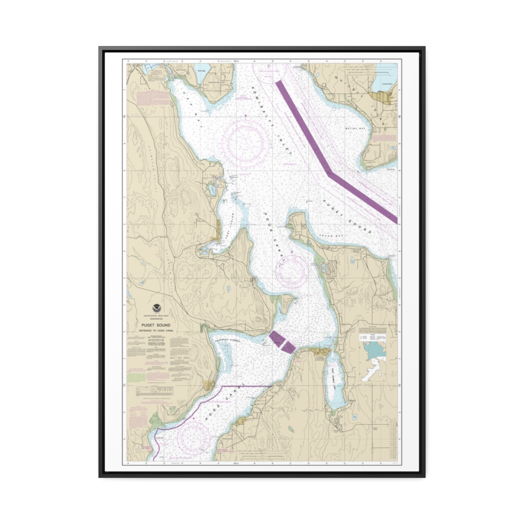
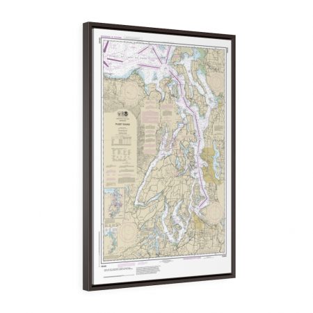
Puget Sound-Entrance to Hood Canal Nautical Chart 18477 – Floating Frame Canvas
From: $184.95PREMIUM FLOATING FRAME CANVASDistance from your search: 97.3mi -
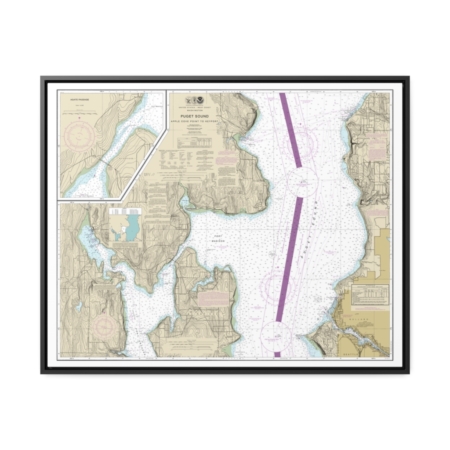
Puget Sound-Apple Cove Point to Keyport Agate Passage Nautical Chart 18446 – Floating Frame Canvas
From: $184.95PREMIUM FLOATING FRAME CANVASDistance from your search: 98.1mi -
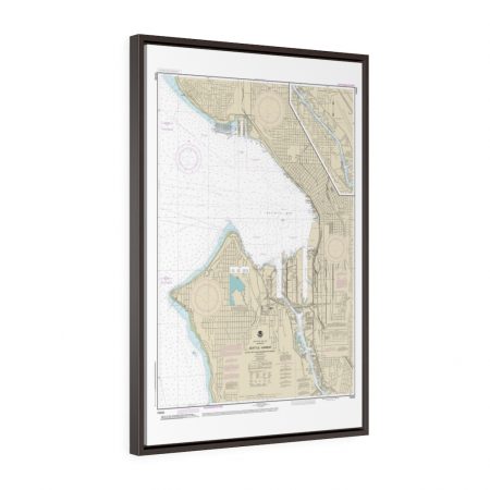
Seattle Harbor, Elliott Bay and Duwamish Waterway Framed Wrapped Canvas Nautical Chart 18450
From: $73.25PREMIUM FLOATING FRAME CANVASDistance from your search: 99.9mi -
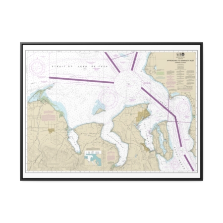
Approaches to Admiralty Inlet Dungeness to Oak Bay Nautical Chart 18471 – Floating Frame Canvas
From: $184.95PREMIUM FLOATING FRAME CANVASDistance from your search: 100.1mi -
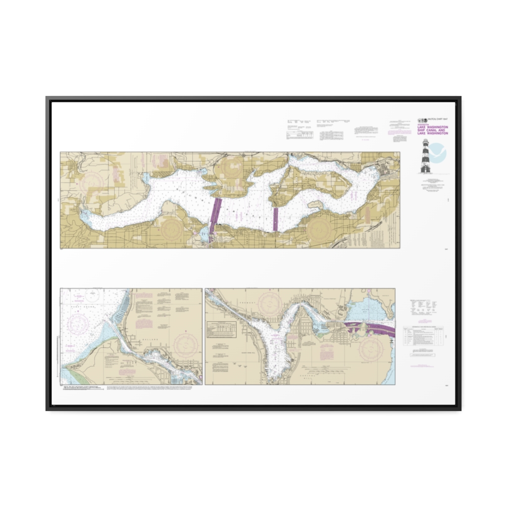
Lake Washington Ship Canal and Lake Washington Nautical Chart 18447 – Floating Frame Canvas
From: $164.95PREMIUM FLOATING FRAME CANVASDistance from your search: 100.4mi -
Distance from your search: 102.7mi
-
Puget Sound Hood Canal and Dabob Bay Floating Frame Canvas Nautical Chart
From: $119.95PREMIUM FLOATING FRAME CANVASDistance from your search: 102.7mi -
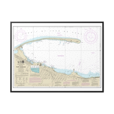
Port Angeles Nautical Chart 18468 – Floating Frame Canvas
From: $184.95PREMIUM FLOATING FRAME CANVASDistance from your search: 104.5mi -
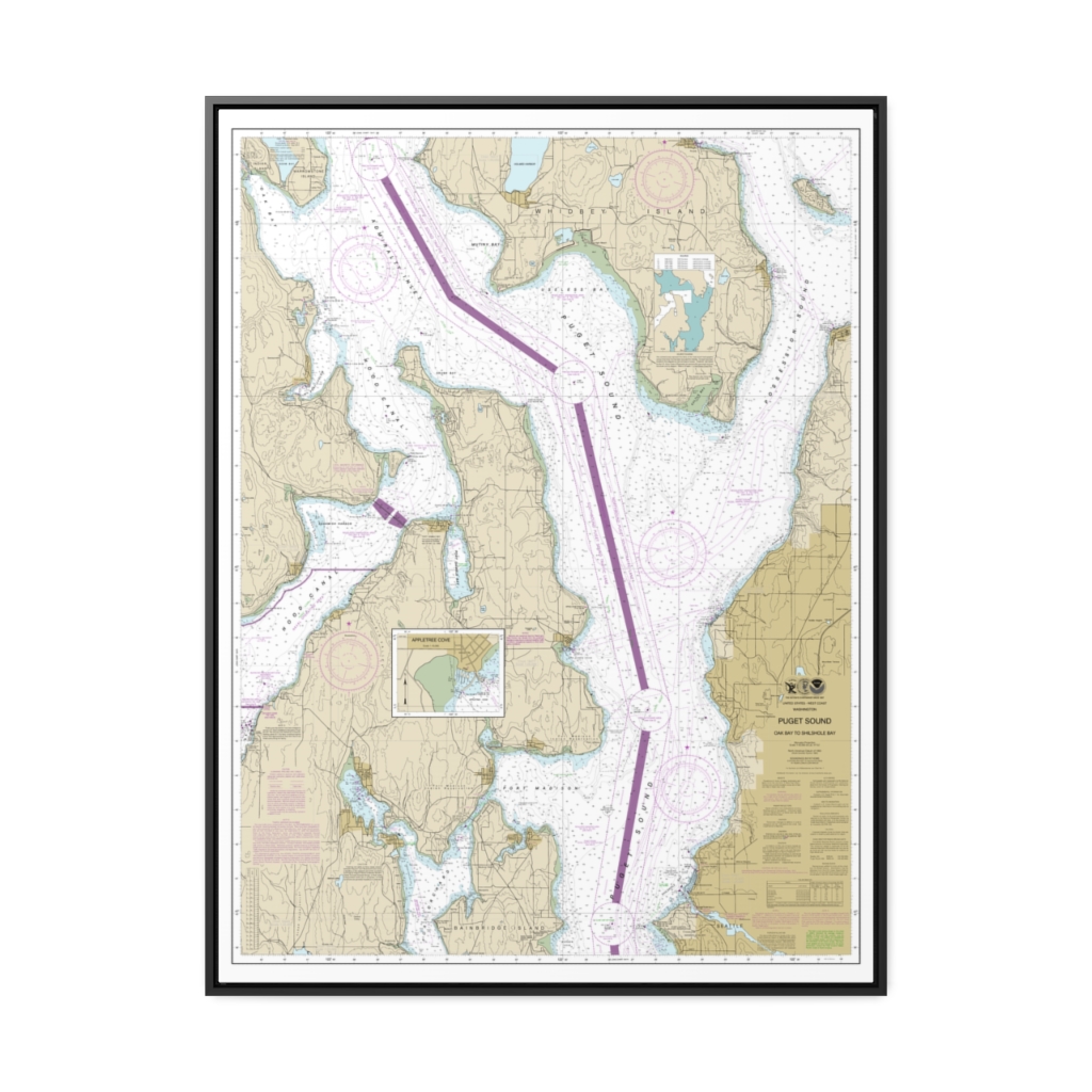
Puget Sound-Oak Bay to Shilshole Bay Nautical Chart 18473 – Floating Frame Canvas
From: $184.95PREMIUM FLOATING FRAME CANVASDistance from your search: 105mi -
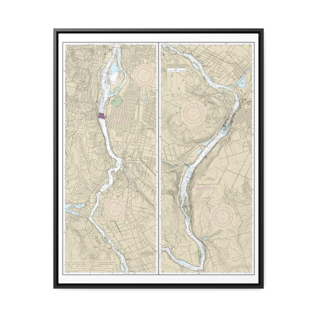
“Willamette River Portland to Walnut Eddy ” Nautical Chart 18528 – Floating Frame Canvas
From: $184.95PREMIUM FLOATING FRAME CANVASDistance from your search: 105.3mi -
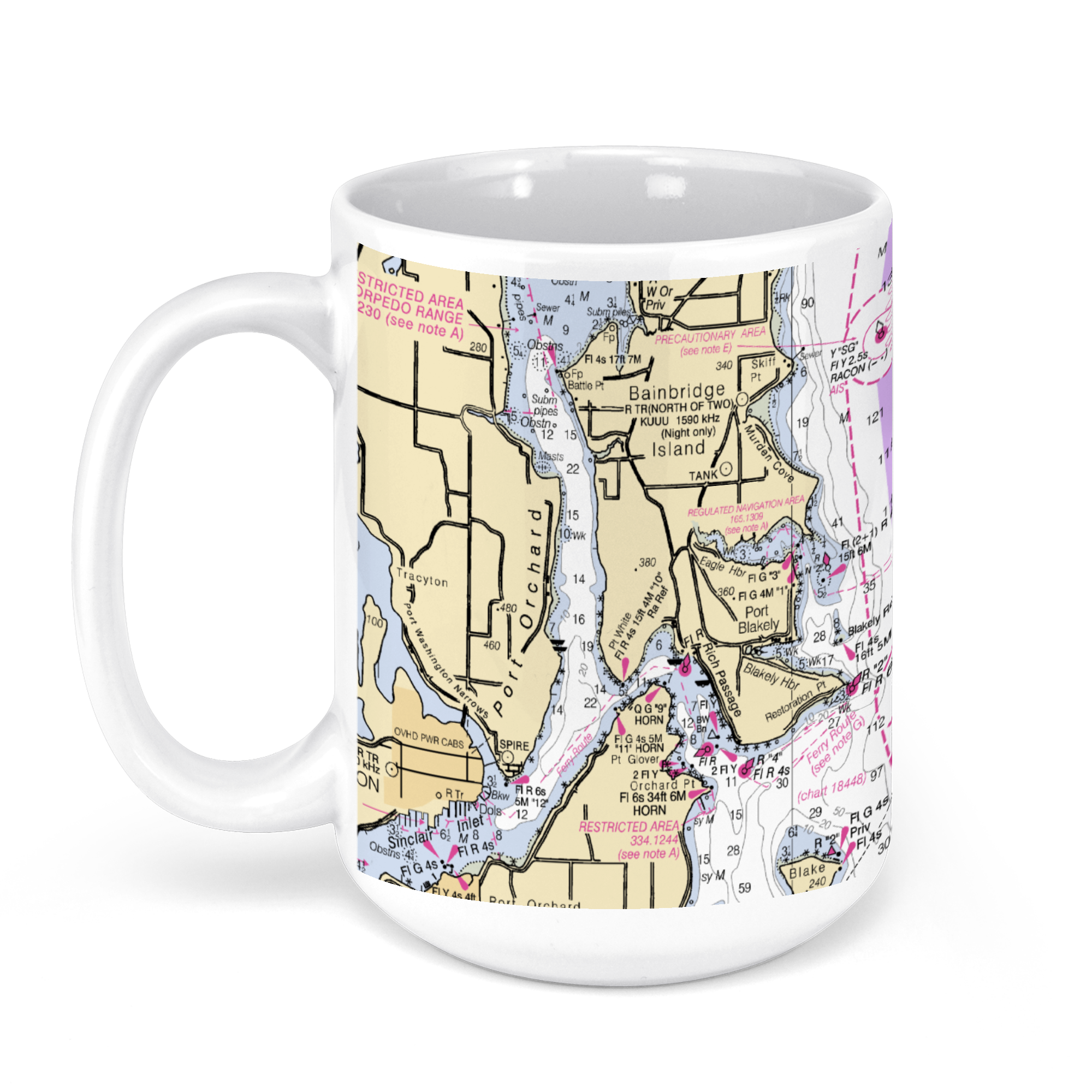 11oz From $14.21 15oz From $16.46
Bellevue, WA, USA NOAA Nautical Charts Chart Mug
From: $18.95MIX, MATCH & SAVE! UP TO 25% OFFDistance from your search: 106.6mi -
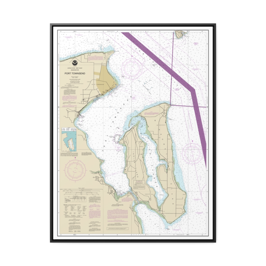
Port Townsend Nautical Chart 18464 – Floating Frame Canvas
From: $184.95PREMIUM FLOATING FRAME CANVASDistance from your search: 108.5mi

