- Display 24 Products per page
-
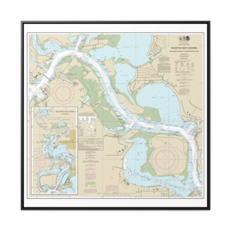
Houston Ship Channel Alexander Island to Carpenters Bayou San Jacinto and Old Rivers Nautical Chart 11329 – Floating Frame Canvas
From: $139.95PREMIUM FLOATING FRAME CANVASDistance from your search: 1559.9mi -
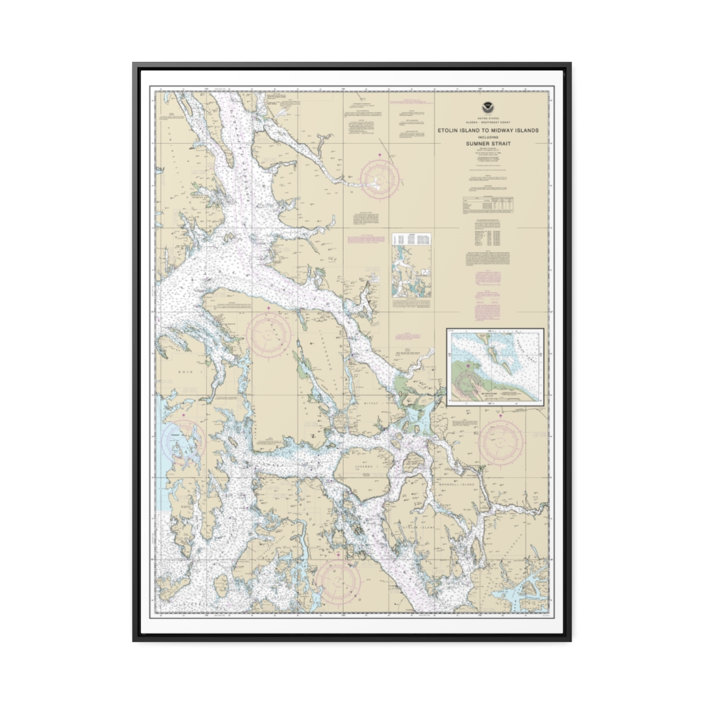
Etolin Island to Midway Islands, including Sumner Strait Holkham Bay Big Castle Island Nautical Chart 17360 – Floating Frame Canvas
From: $184.95PREMIUM FLOATING FRAME CANVASDistance from your search: 1561.8mi -
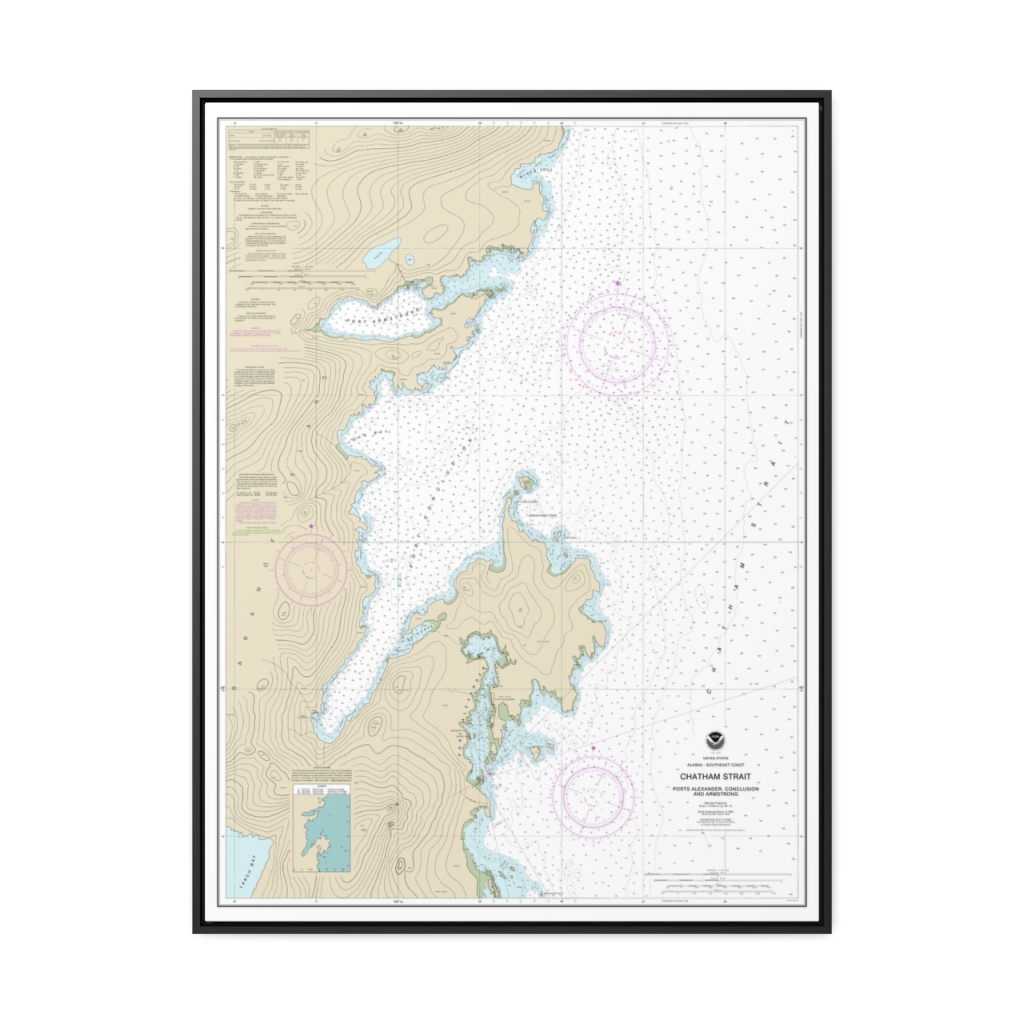
Chatham Strait Ports Alexander, Conclusion, and Armstrong Nautical Chart 17331 – Floating Frame Canvas
From: $184.95PREMIUM FLOATING FRAME CANVASDistance from your search: 1564.2mi -
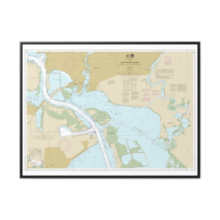
Houston Ship Channel Atkinson Island to Alexander Island Nautical Chart 11328 – Floating Frame Canvas
From: $184.95PREMIUM FLOATING FRAME CANVASDistance from your search: 1564.8mi -
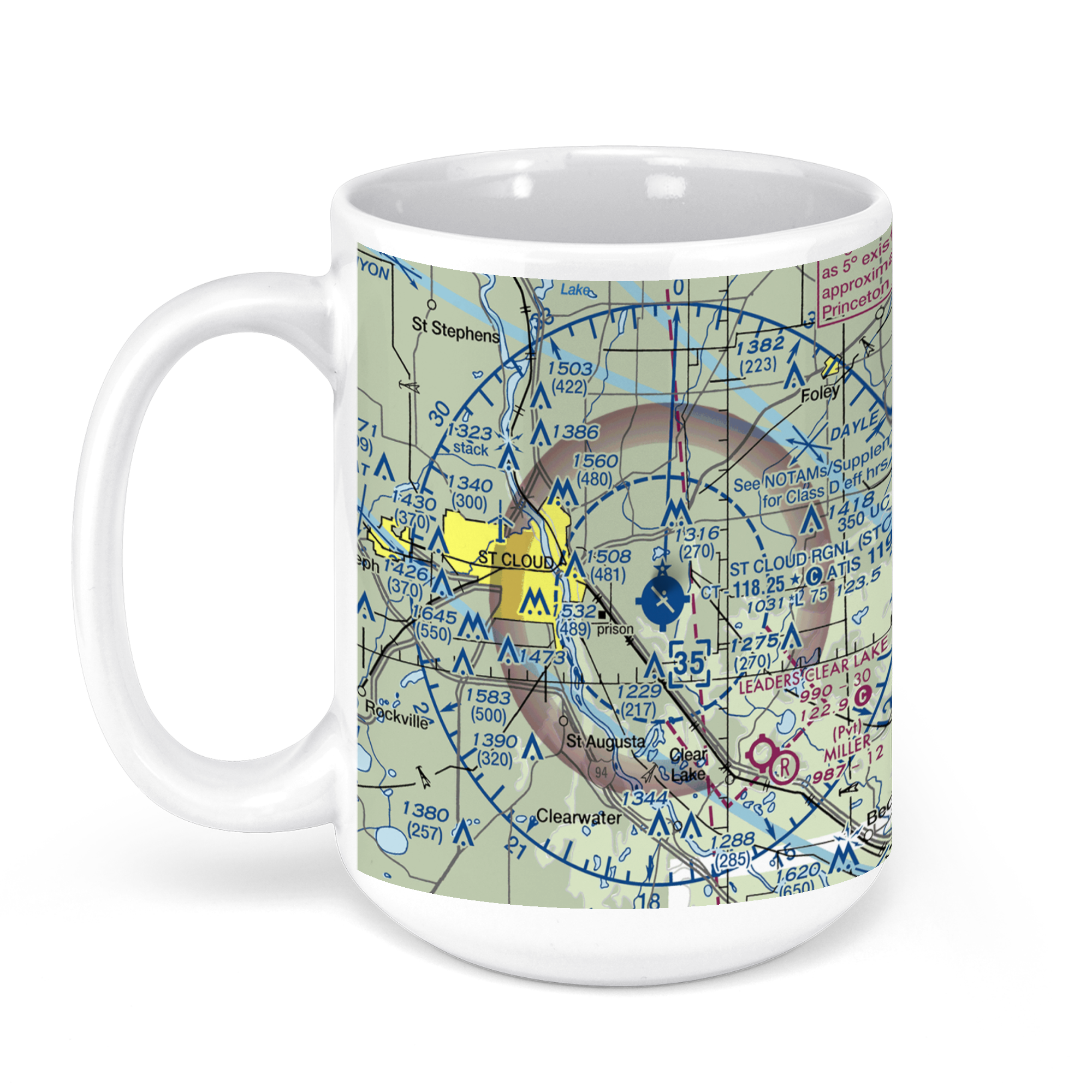 11oz From $14.21 15oz From $16.46
St. Cloud Regional Airport, 45th Avenue Southeast, St. Cloud, MN, USA FAA Sectional Aeronautical Charts Chart Mug
From: $18.95MIX, MATCH & SAVE! UP TO 25% OFFDistance from your search: 1566.7mi -
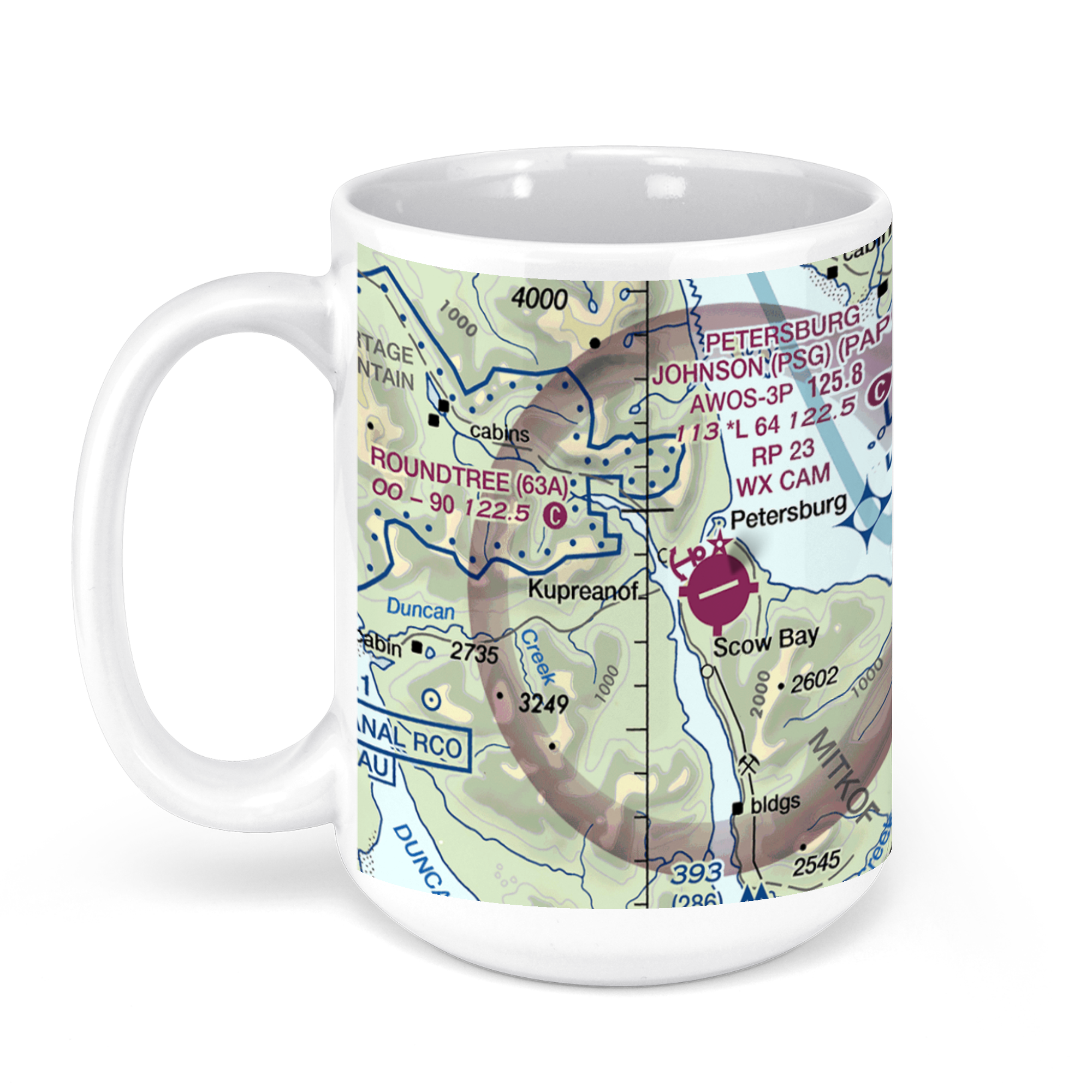 11oz From $14.21 15oz From $16.46
Petersburg James a Johnson, Haugen Drive, Petersburg, AK, USA FAA Sectional Aeronautical Charts Chart Mug
From: $18.95MIX, MATCH & SAVE! UP TO 25% OFFDistance from your search: 1568.2mi -
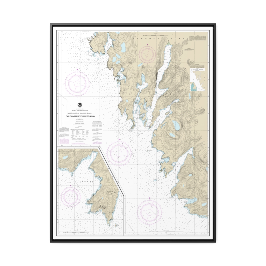
West Coast of Baranof Island Cape Ommaney to Byron Bay Nautical Chart 17330 – Floating Frame Canvas
From: $184.95PREMIUM FLOATING FRAME CANVASDistance from your search: 1568.4mi -
Distance from your search: 1568.6mi
-
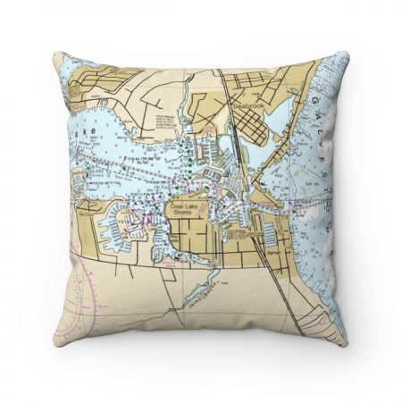
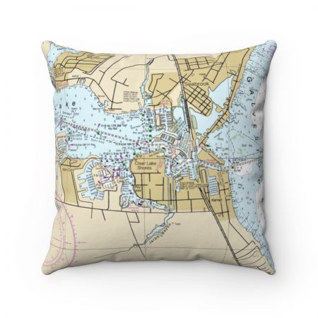
Seabrook, Kemah Texas with Galveston Bay Reverse Side Nautical Chart Premium Faux Suede Square Pillow
From: $44.95PREMIUM FAUX SUEDEDistance from your search: 1568.6mi -
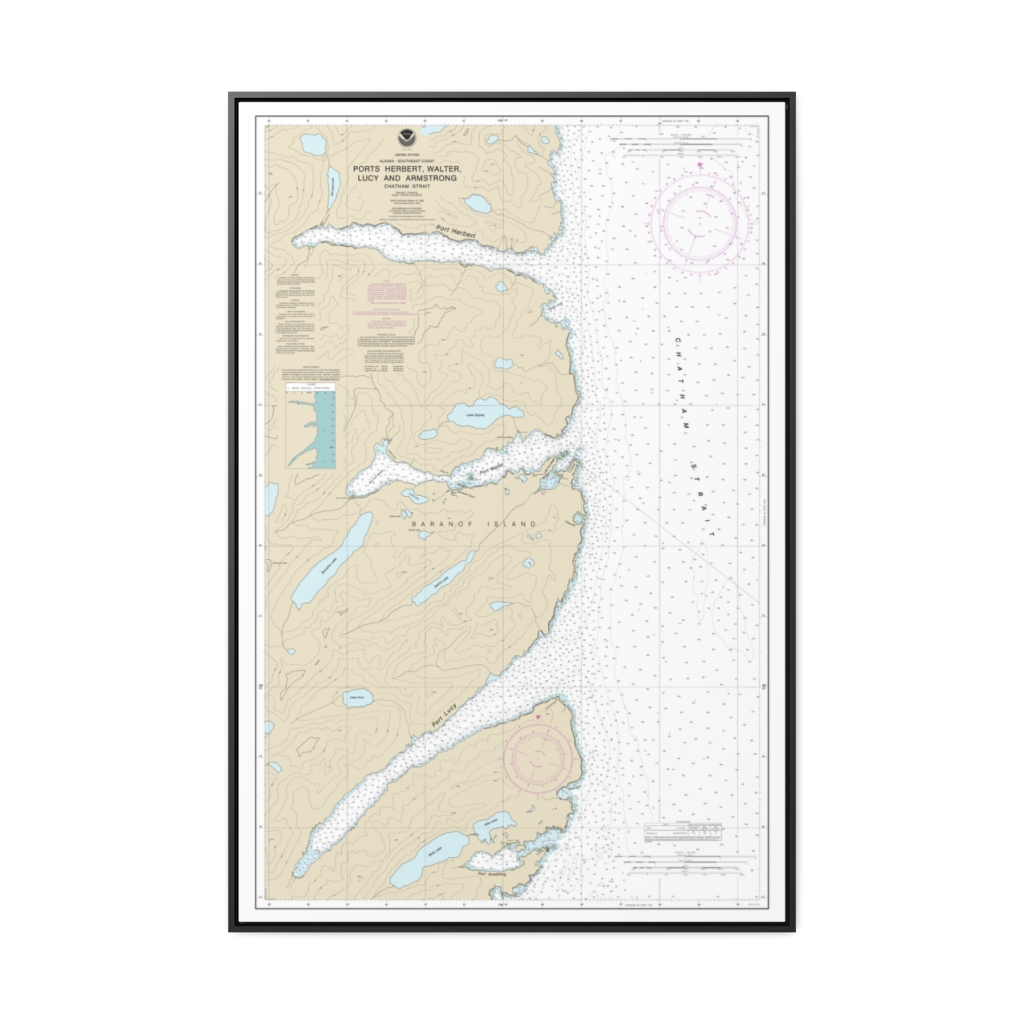
Ports Herbert, Walter, Lucy and Armstrong Nautical Chart 17333 – Floating Frame Canvas
From: $164.95PREMIUM FLOATING FRAME CANVASDistance from your search: 1568.9mi -
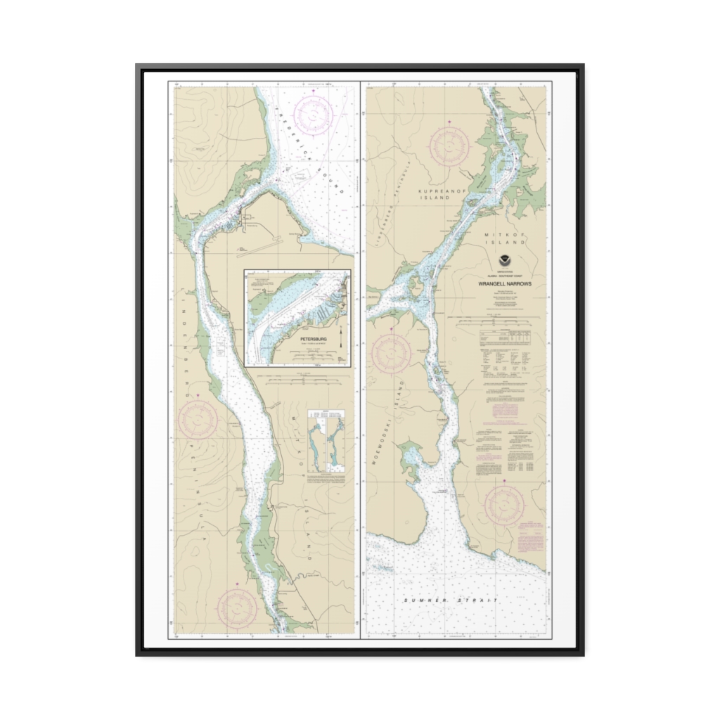
Wrangell Narrows Petersburg Harbor Nautical Chart 17375 – Floating Frame Canvas
From: $184.95PREMIUM FLOATING FRAME CANVASDistance from your search: 1568.9mi -
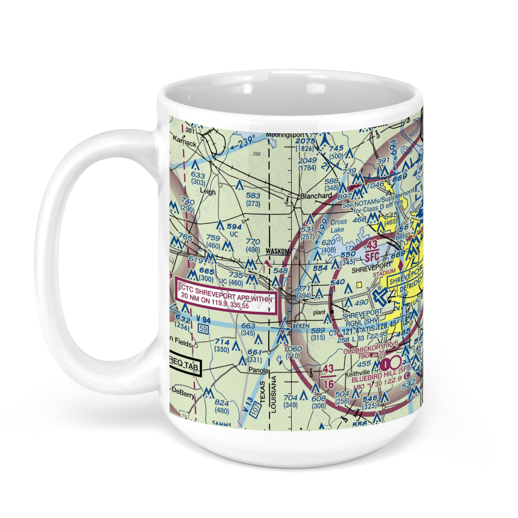 11oz From $14.21 15oz From $16.46
Shreveport Regional Airport, Shreveport, LA, USA FAA Sectional Aeronautical Charts Chart Mug
From: $18.95MIX, MATCH & SAVE! UP TO 25% OFFDistance from your search: 1570.6mi -
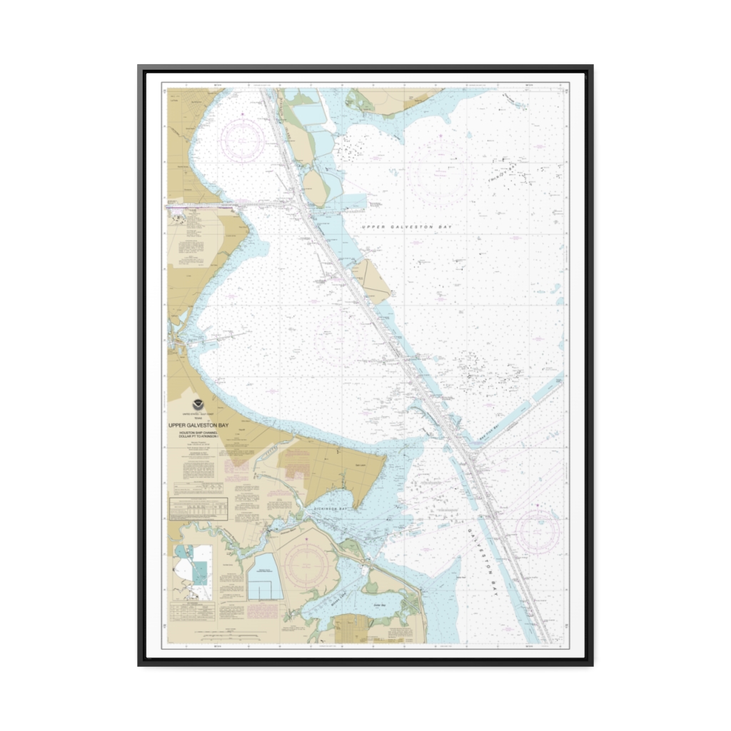
Upper Galveston Bay-Houston Ship Channel-Dollar Pt. to Atkinson Nautical Chart 11327 – Floating Frame Canvas
From: $184.95PREMIUM FLOATING FRAME CANVASDistance from your search: 1571.6mi -
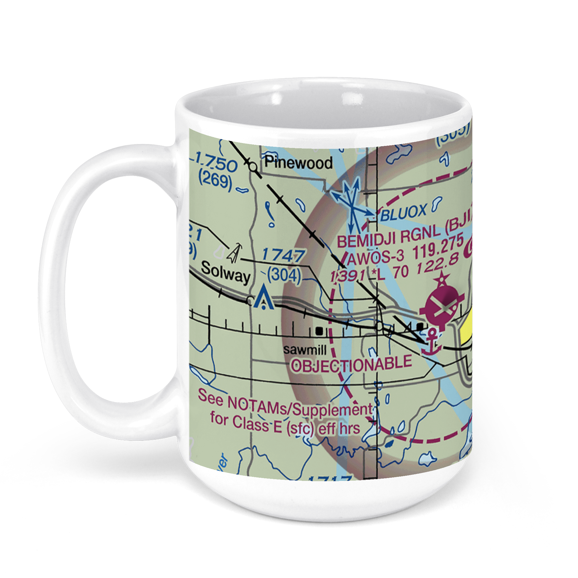 11oz From $14.21 15oz From $16.46
Bemidji Regional Airport, Moberg Drive Northwest, Bemidji, MN, USA FAA Sectional Aeronautical Charts Chart Mug
From: $18.95MIX, MATCH & SAVE! UP TO 25% OFFDistance from your search: 1572.9mi -
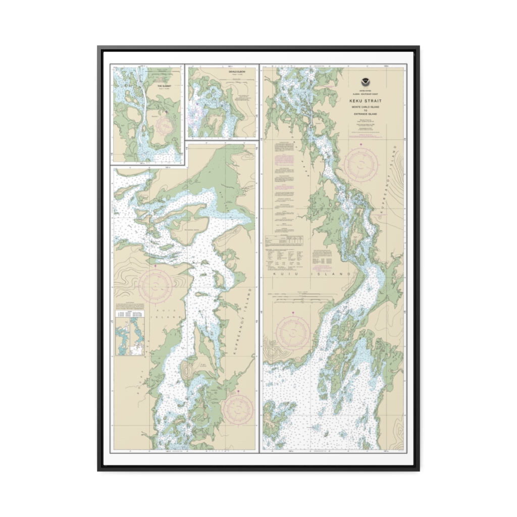
Keku Strait-Monte Carlo Island to Entrance Island The Summit Devils Elbow Nautical Chart 17372 – Floating Frame Canvas
From: $184.95PREMIUM FLOATING FRAME CANVASDistance from your search: 1573.3mi -
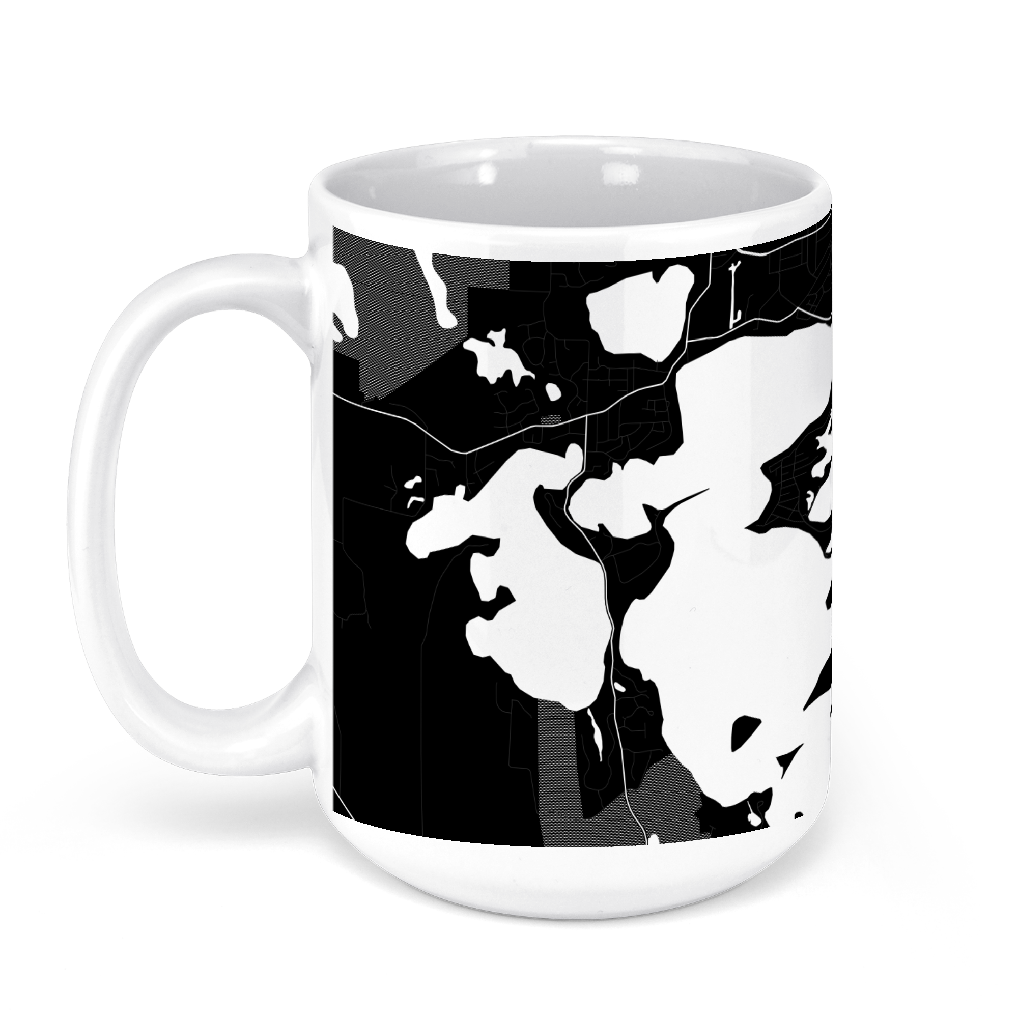 11oz From $14.21 15oz From $16.46
Lake Minnetonka, Minnesota, USA Black and White Edition Chart Mug
From: $18.95MIX, MATCH & SAVE! UP TO 25% OFFDistance from your search: 1575.2mi -
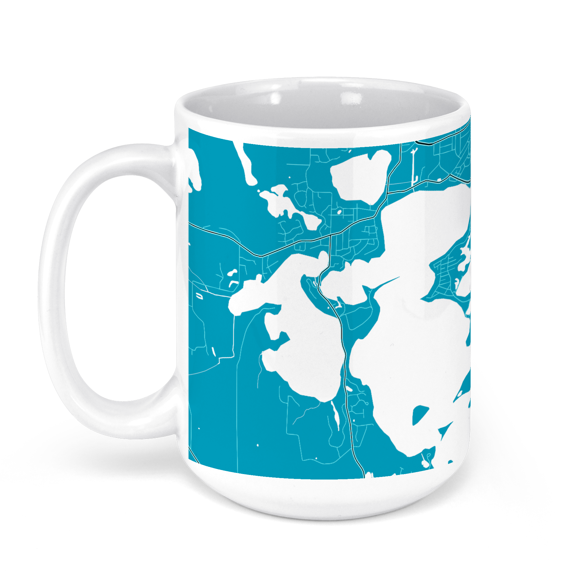 11oz From $14.21 15oz From $16.46
Lake Minnetonka, Minnesota, USA Signature Colors Dark Series Chart Mug
From: $18.95MIX, MATCH & SAVE! UP TO 25% OFFDistance from your search: 1575.2mi -
Distance from your search: 1576.3mi
-
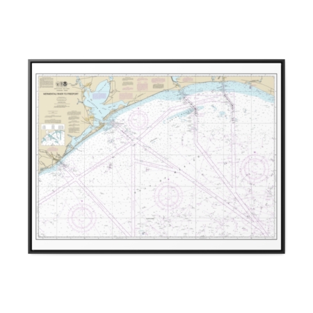
Mermentau River to Freeport Nautical Chart 11330 – Floating Frame Canvas
From: $184.95PREMIUM FLOATING FRAME CANVASDistance from your search: 1578.6mi -
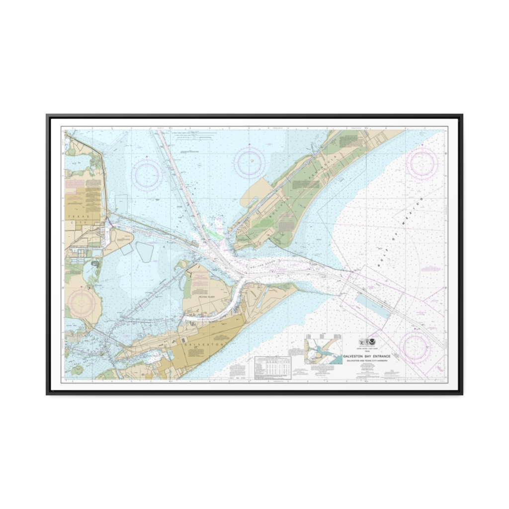
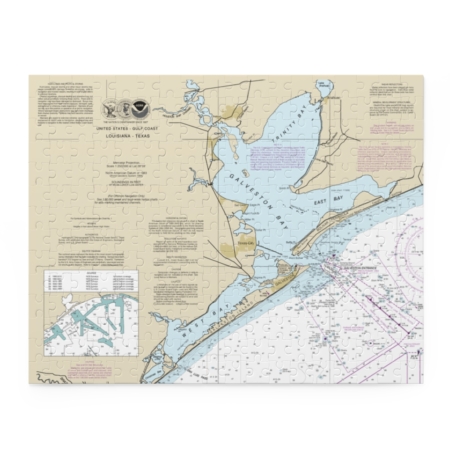
Galveston Bay Entrance Galveston and Texas City Harbors Nautical Chart 11324 – Floating Frame Canvas
From: $164.95PREMIUM FLOATING FRAME CANVASDistance from your search: 1581.3mi -
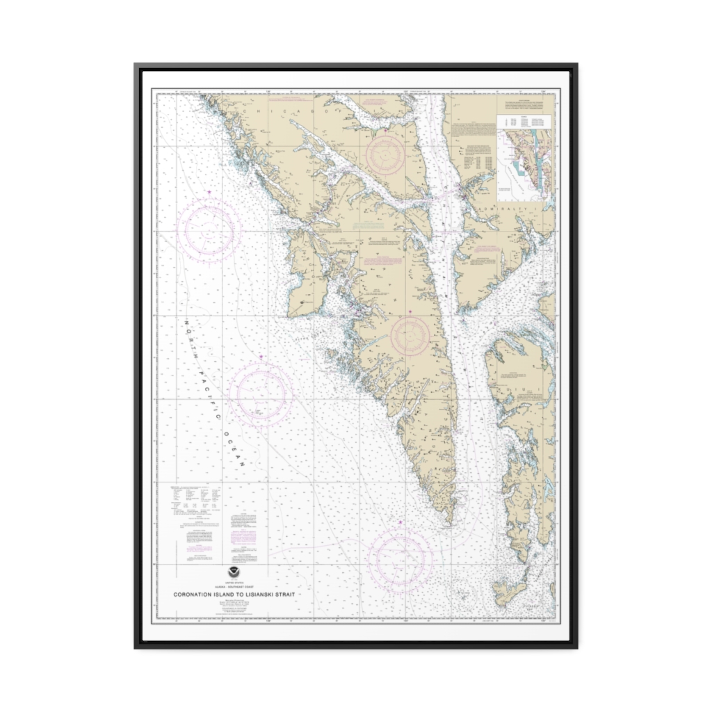
Coronation Island to Lisianski Strait Nautical Chart 17320 – Floating Frame Canvas
From: $184.95PREMIUM FLOATING FRAME CANVASDistance from your search: 1581.5mi -
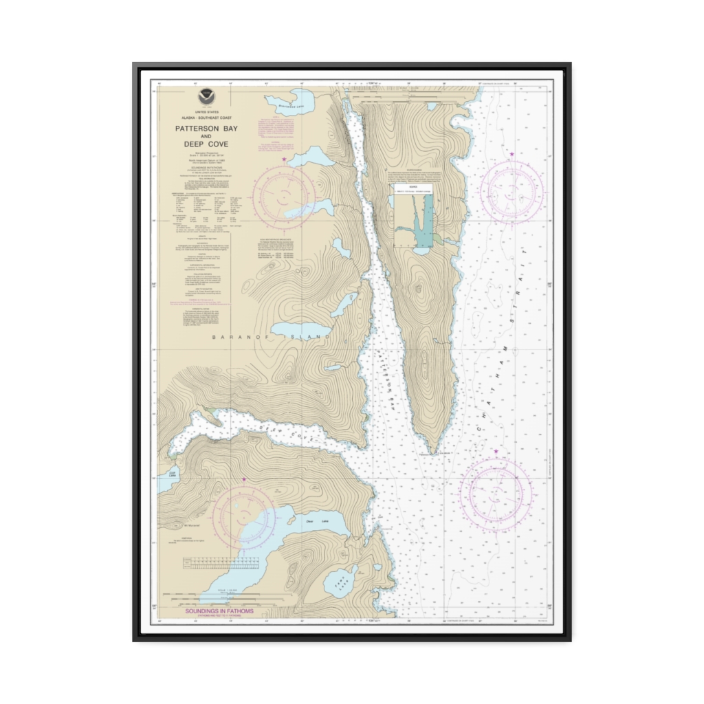
Patterson Bay and Deep Cove Nautical Chart 17335 – Floating Frame Canvas
From: $184.95PREMIUM FLOATING FRAME CANVASDistance from your search: 1581.7mi -
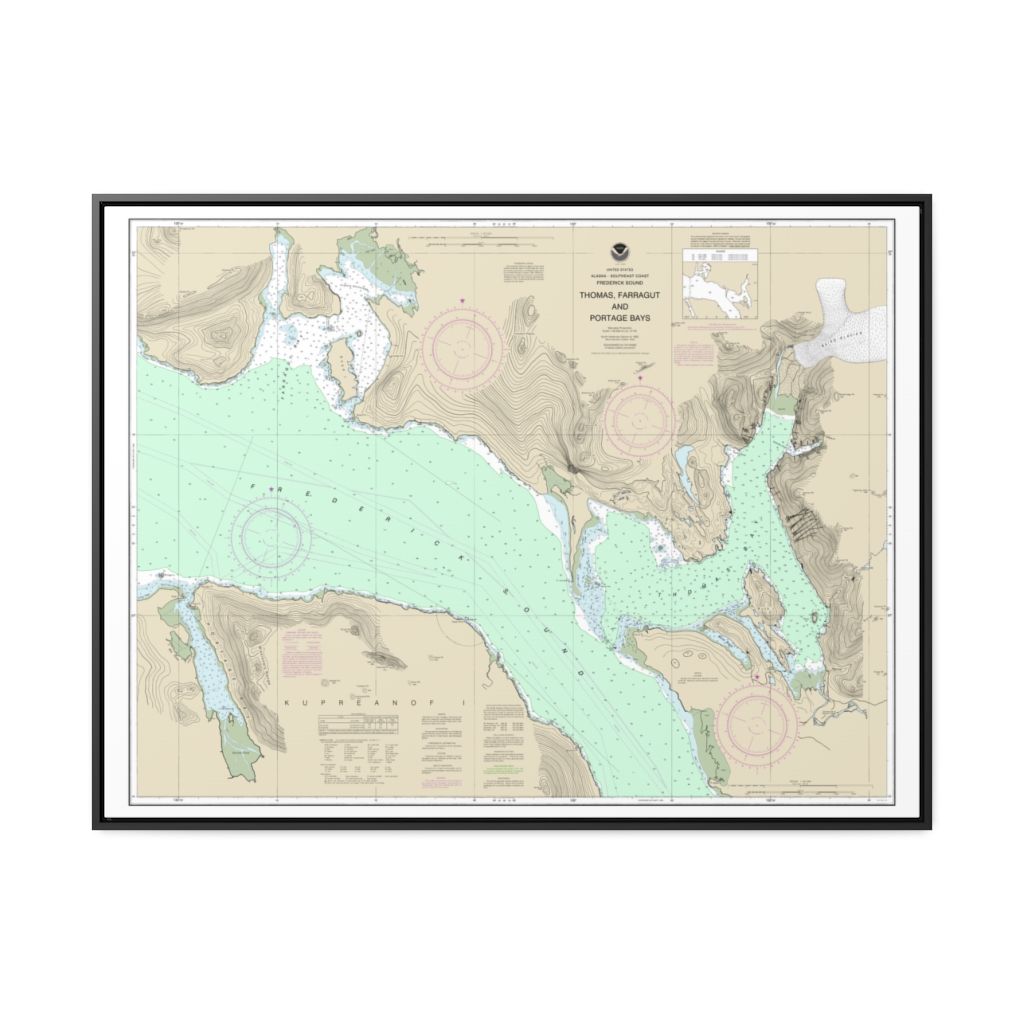
Thomas, Farragut, and Portage Bays, Frederick Sound Nautical Chart 17367 – Floating Frame Canvas
From: $184.95PREMIUM FLOATING FRAME CANVASDistance from your search: 1582.3mi -
Distance from your search: 1584.4mi

