- Display 24 Products per page
-
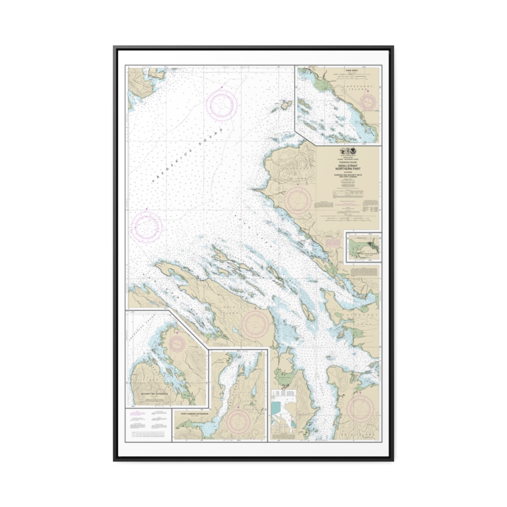
Keku Strait-northern part, including Saginaw and Security Bays and Port Camden;Kake Inset Nautical Chart 17368 – Floating Frame Canvas
From: $164.95PREMIUM FLOATING FRAME CANVASDistance from your search: 1586.8mi -
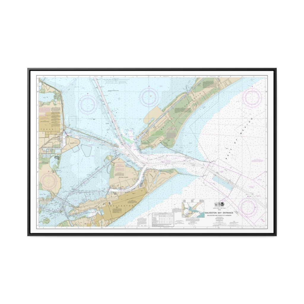
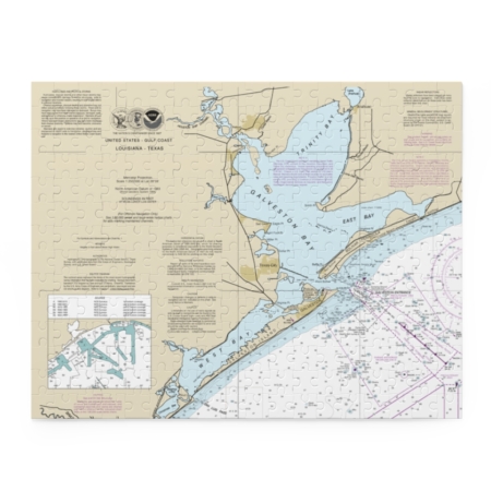
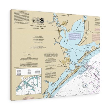
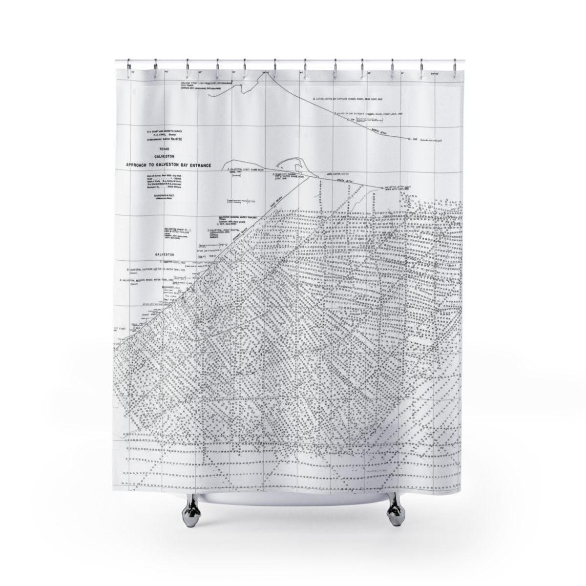
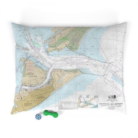
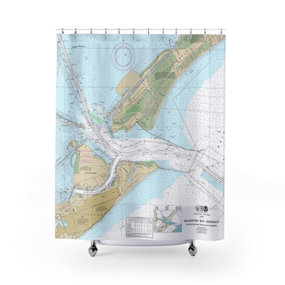
Galveston Bay Entrance Galveston and Texas City Harbors Nautical Chart 11324 – Floating Frame Canvas
From: $164.95PREMIUM FLOATING FRAME CANVASDistance from your search: 1588.1mi -
Distance from your search: 1591.2mi
-
Distance from your search: 1591.2mi
-
Distance from your search: 1591.2mi
-
Distance from your search: 1591.2mi
-
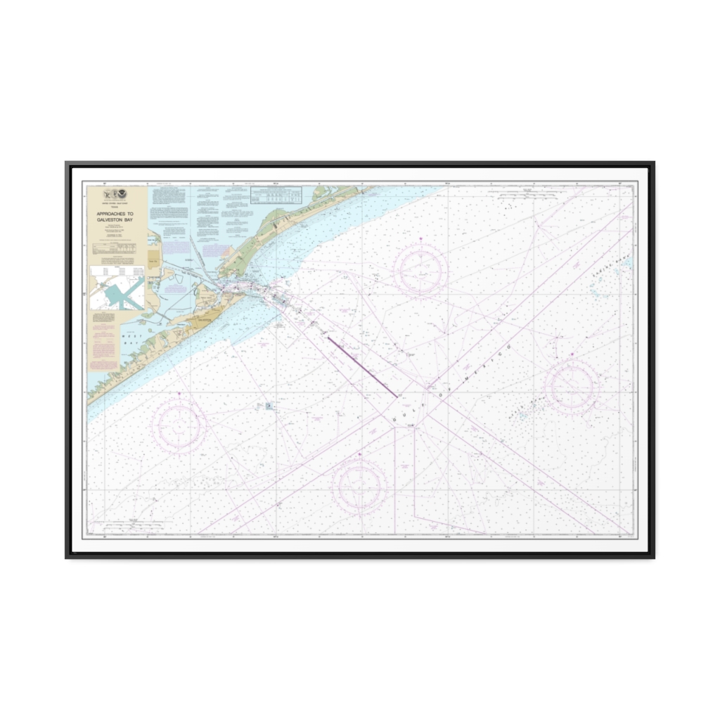
Approaches to Galveston Bay Nautical Chart 11323 – Floating Frame Canvas
From: $164.95PREMIUM FLOATING FRAME CANVASDistance from your search: 1591.4mi -
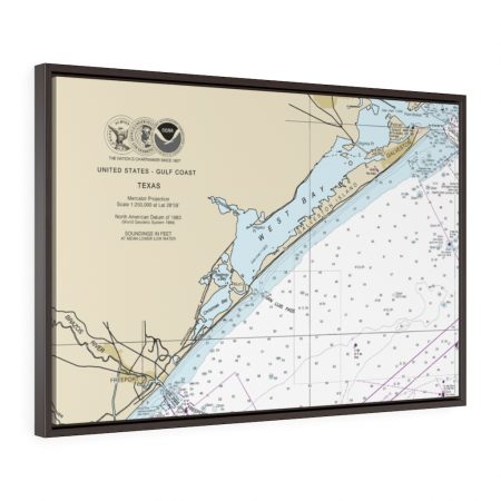
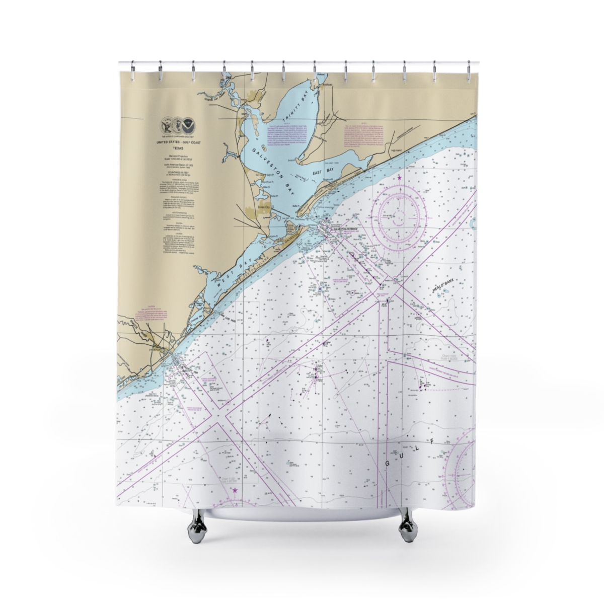
Freeport & Galveston Floating Frame Canvas Nautical Chart 11330
From: $124.95PREMIUM FLOATING FRAME CANVASDistance from your search: 1594.2mi -
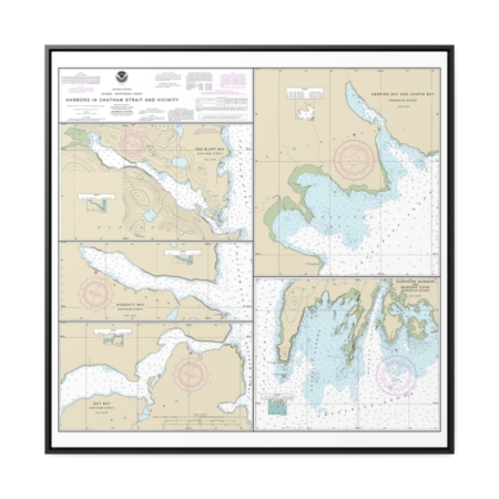
Harbors in Chatham Strait and vicinity Gut Bay, Chatham Strait Hoggatt Bay, Chatham Strait Red Bluff Bay, Chatham Strait Herring Bay and Chapin Bay, Frederick Sound Surprise Hbr, and Murder Cove, Frederick Sound Nautical Chart 17336 – Floating Frame Canvas
From: $139.95PREMIUM FLOATING FRAME CANVASDistance from your search: 1595.5mi -
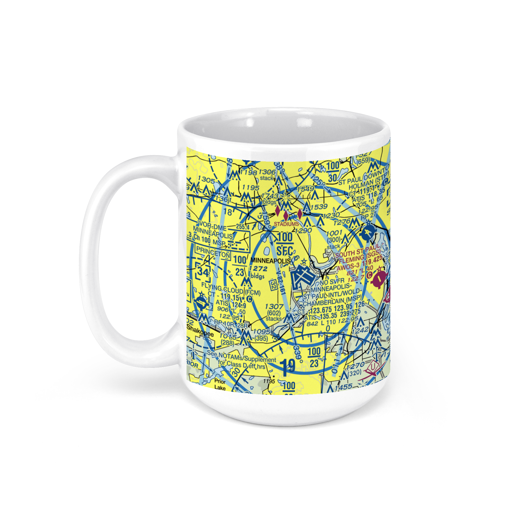 11oz From $14.21 15oz From $16.46
Minneapolis-St. Paul International Airport (Terminal 2), Fort Snelling Unorganized Territory, MN, USA FAA Sectional Aeronautical Charts Chart Mug
From: $18.95MIX, MATCH & SAVE! UP TO 25% OFFDistance from your search: 1596.1mi -
Distance from your search: 1596.6mi
-
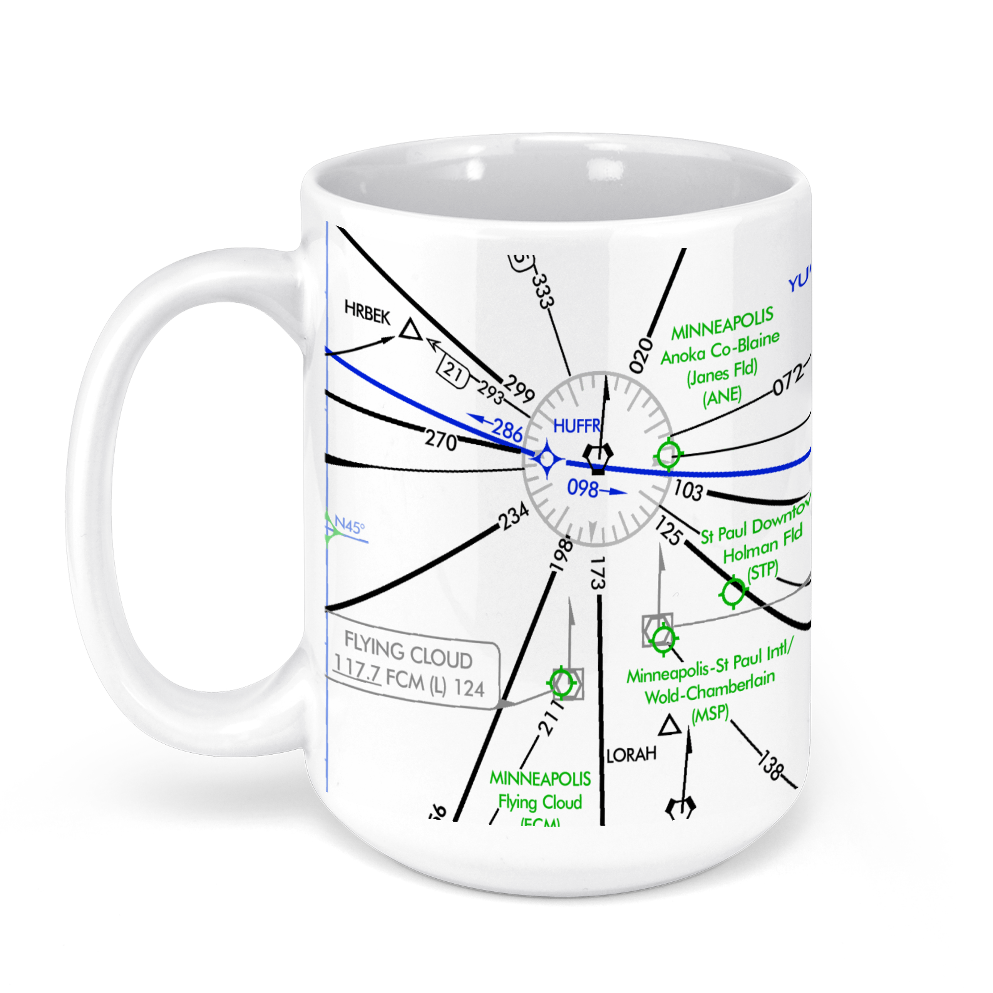 11oz From $14.21 15oz From $16.46
Minneapolis−Saint Paul International Airport (MSP), Minneapolis, MN, USA FAA Aeronautical US IFR Enroute High Charts Chart Mug
From: $18.95MIX, MATCH & SAVE! UP TO 25% OFFDistance from your search: 1596.6mi -
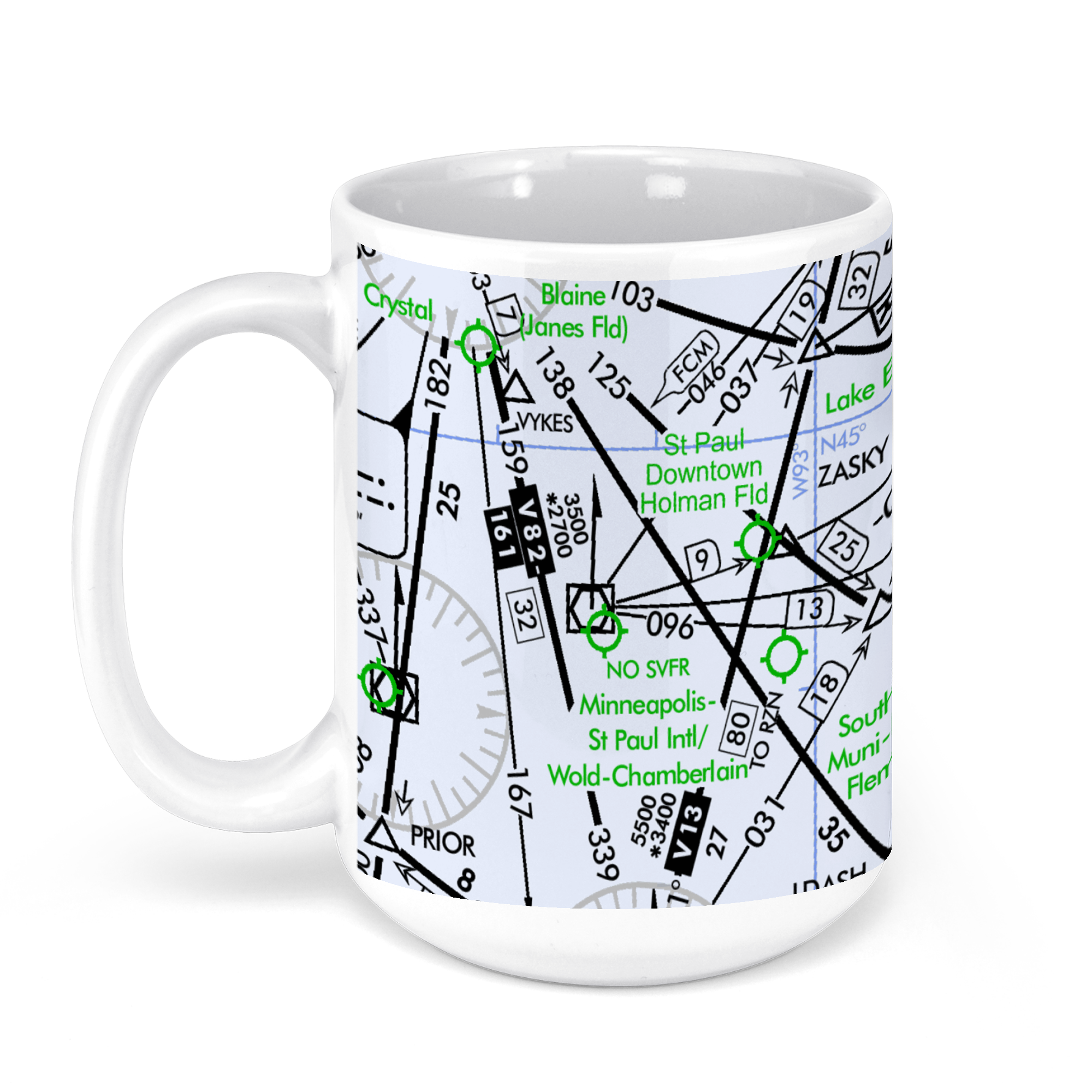 11oz From $14.21 15oz From $16.46
Minneapolis−Saint Paul International Airport (MSP), Minneapolis, MN, USA FAA Aeronautical US IFR Enroute Low Charts Chart Mug
From: $18.95MIX, MATCH & SAVE! UP TO 25% OFFDistance from your search: 1596.6mi -
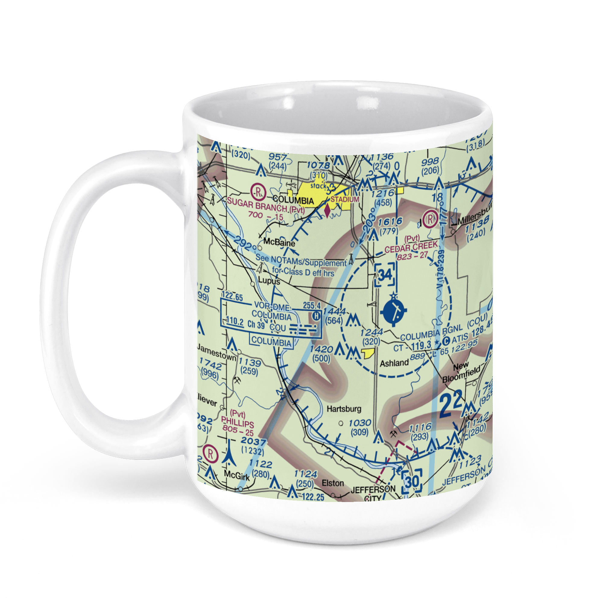 11oz From $14.21 15oz From $16.46
Columbia Regional Airport, South Airport Drive, Columbia, MO, USA FAA Sectional Aeronautical Charts Chart Mug
From: $18.95MIX, MATCH & SAVE! UP TO 25% OFFDistance from your search: 1602mi -
Distance from your search: 1602.9mi
-
Distance from your search: 1602.9mi
-
Distance from your search: 1602.9mi
-
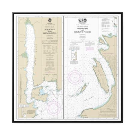
Woewodski and Eliza Hbrs. Fanshaw Bay and Cleveland Passage Nautical Chart 17365 – Floating Frame Canvas
From: $139.95PREMIUM FLOATING FRAME CANVASDistance from your search: 1605.2mi -
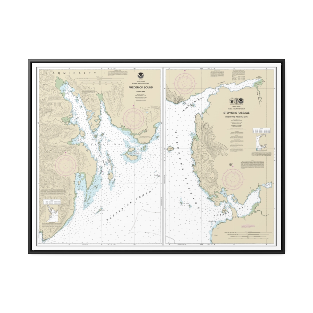
Pybus Bay, Frederick Sound Hobart and Windham Bays, Stephens P. Nautical Chart 17363 – Floating Frame Canvas
From: $184.95PREMIUM FLOATING FRAME CANVASDistance from your search: 1605.5mi -
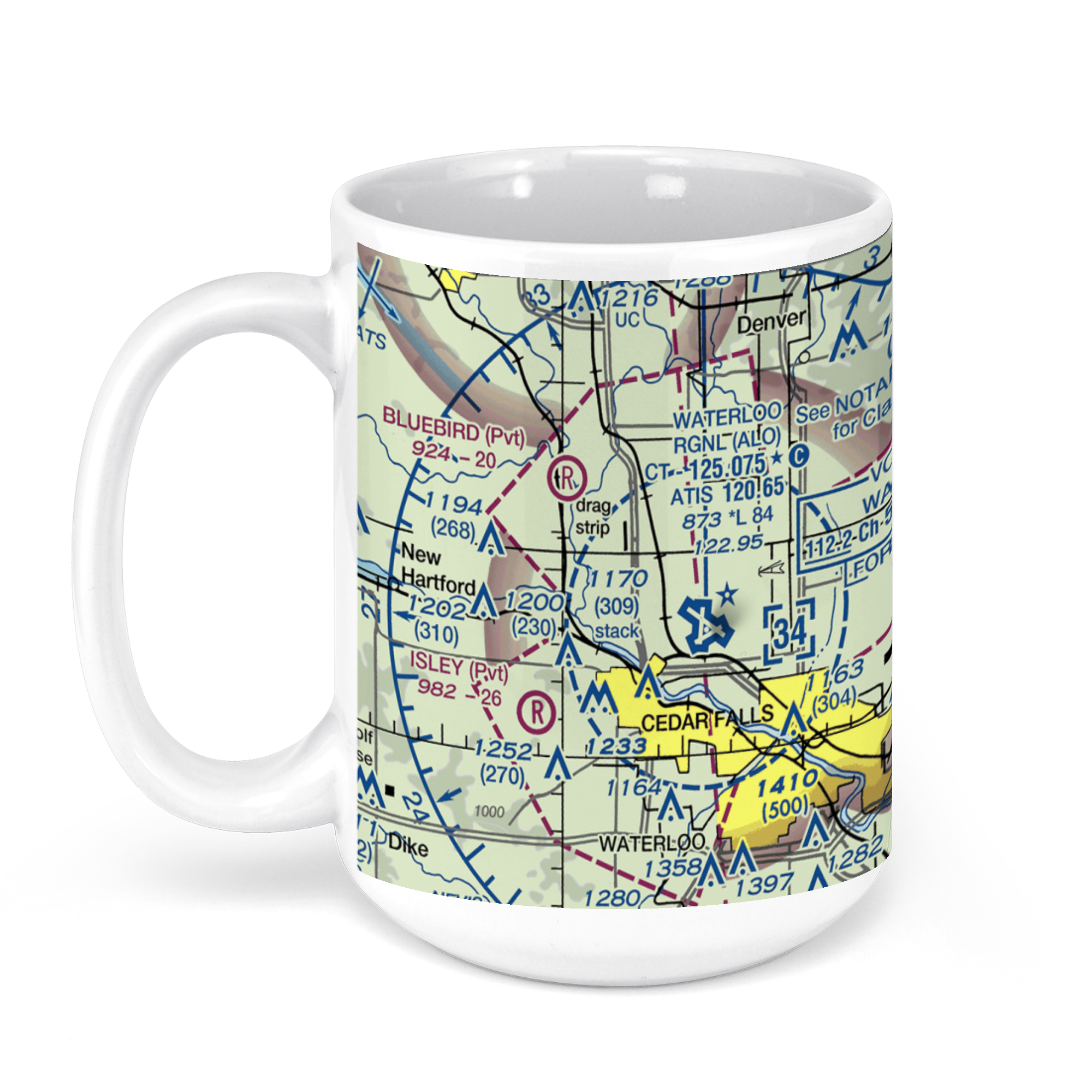 11oz From $14.21 15oz From $16.46
Waterloo Regional Airport, Livingston Lane, Waterloo, IA, USA FAA Sectional Aeronautical Charts Chart Mug
From: $18.95MIX, MATCH & SAVE! UP TO 25% OFFDistance from your search: 1607.1mi -
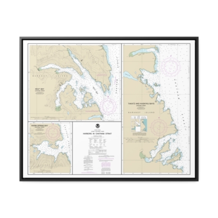
Harbors in Chatham Strait Kelp Bay Warm Spring Bay Takatz and Kasnyku Bays Nautical Chart 17337 – Floating Frame Canvas
From: $184.95PREMIUM FLOATING FRAME CANVASDistance from your search: 1609.8mi -
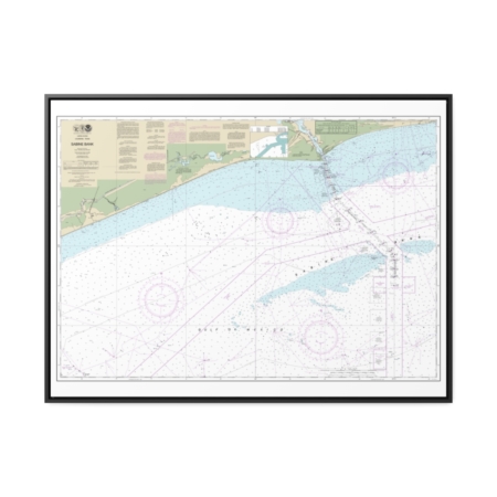
Sabine Bank Nautical Chart 11332 – Floating Frame Canvas
From: $184.95PREMIUM FLOATING FRAME CANVASDistance from your search: 1614.5mi -
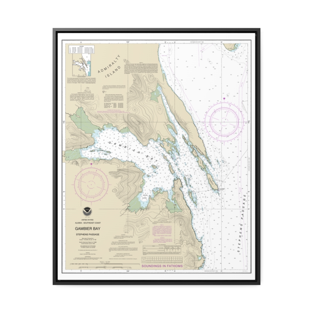
Gambier Bay, Stephens Passage Nautical Chart 17362 – Floating Frame Canvas
From: $184.95PREMIUM FLOATING FRAME CANVASDistance from your search: 1615.1mi -
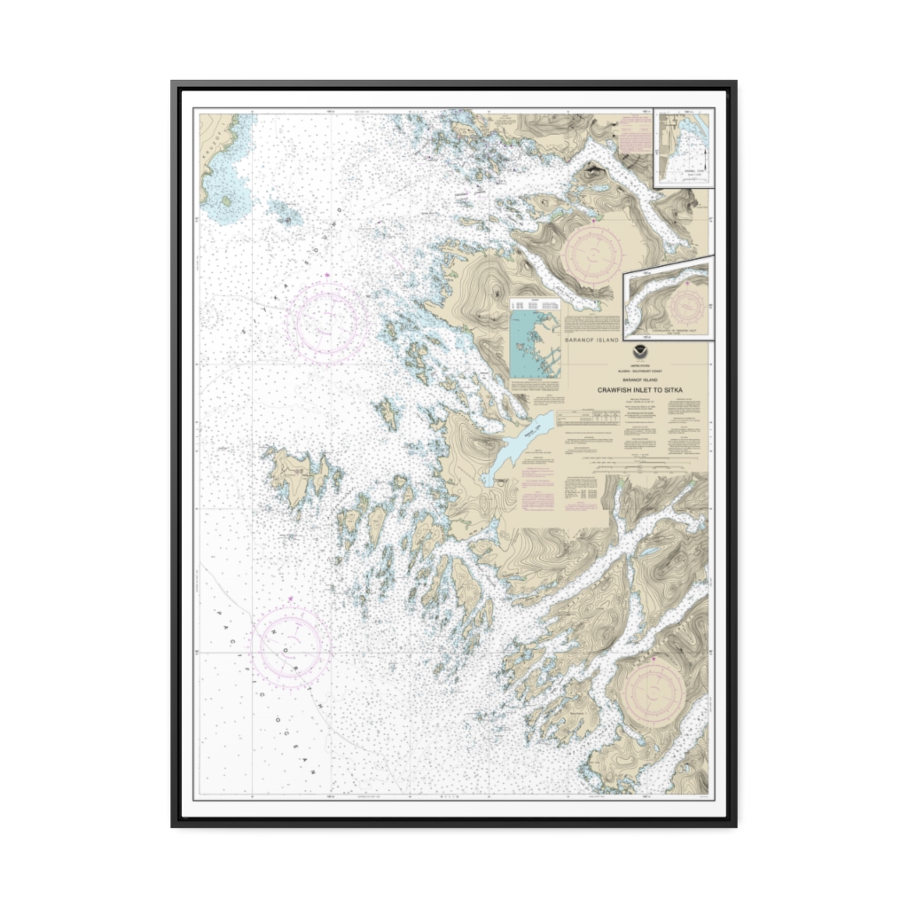
Crawfish Inlet to Sitka, Baranof I. Sawmill Cove Nautical Chart 17326 – Floating Frame Canvas
From: $184.95PREMIUM FLOATING FRAME CANVASDistance from your search: 1616mi

