- Display 24 Products per page
-
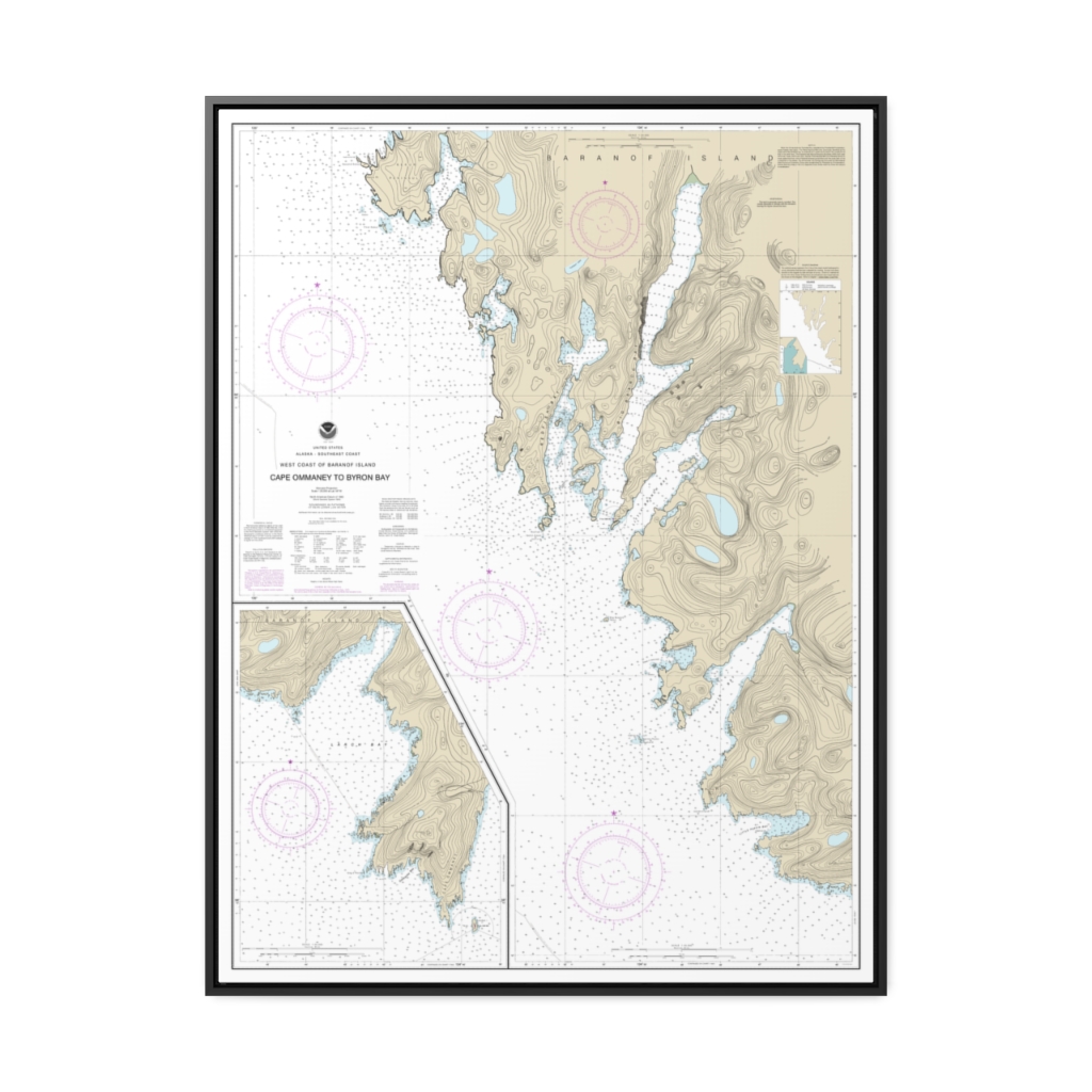
West Coast of Baranof Island Cape Ommaney to Byron Bay Nautical Chart 17330 – Floating Frame Canvas
From: $184.95PREMIUM FLOATING FRAME CANVASDistance from your search: 1631.7mi -
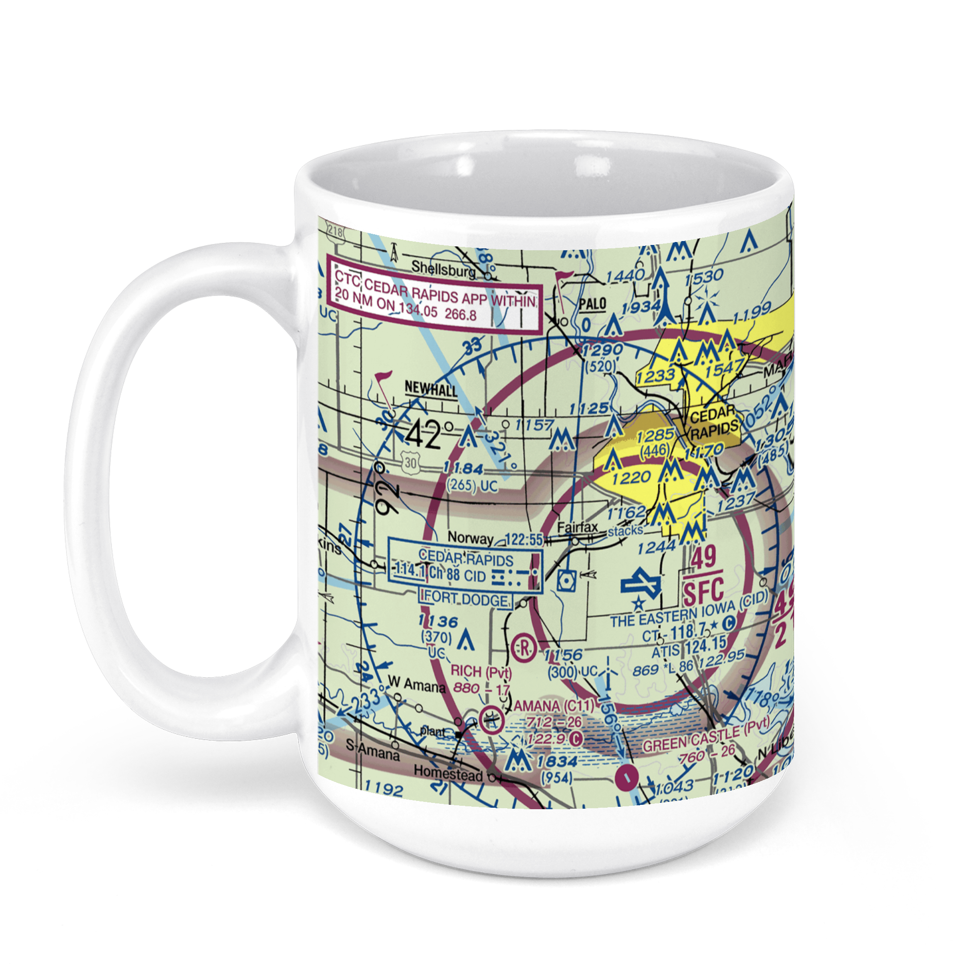 11oz From $14.21 15oz From $16.46
The Eastern Iowa Airport, Arthur Collins Parkway Southwest, Cedar Rapids, IA, USA FAA Sectional Aeronautical Charts Chart Mug
From: $18.95MIX, MATCH & SAVE! UP TO 25% OFFDistance from your search: 1632mi -
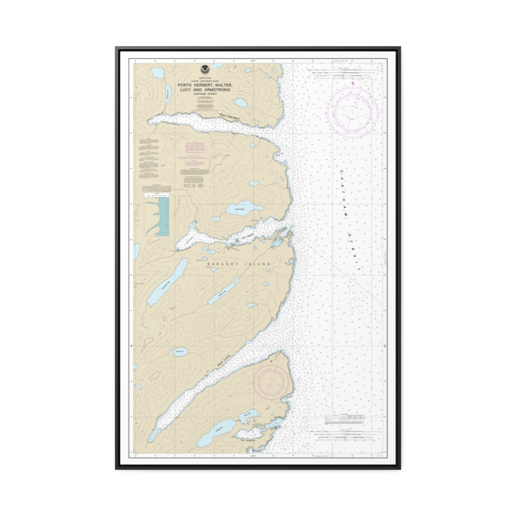
Ports Herbert, Walter, Lucy and Armstrong Nautical Chart 17333 – Floating Frame Canvas
From: $164.95PREMIUM FLOATING FRAME CANVASDistance from your search: 1632.1mi -
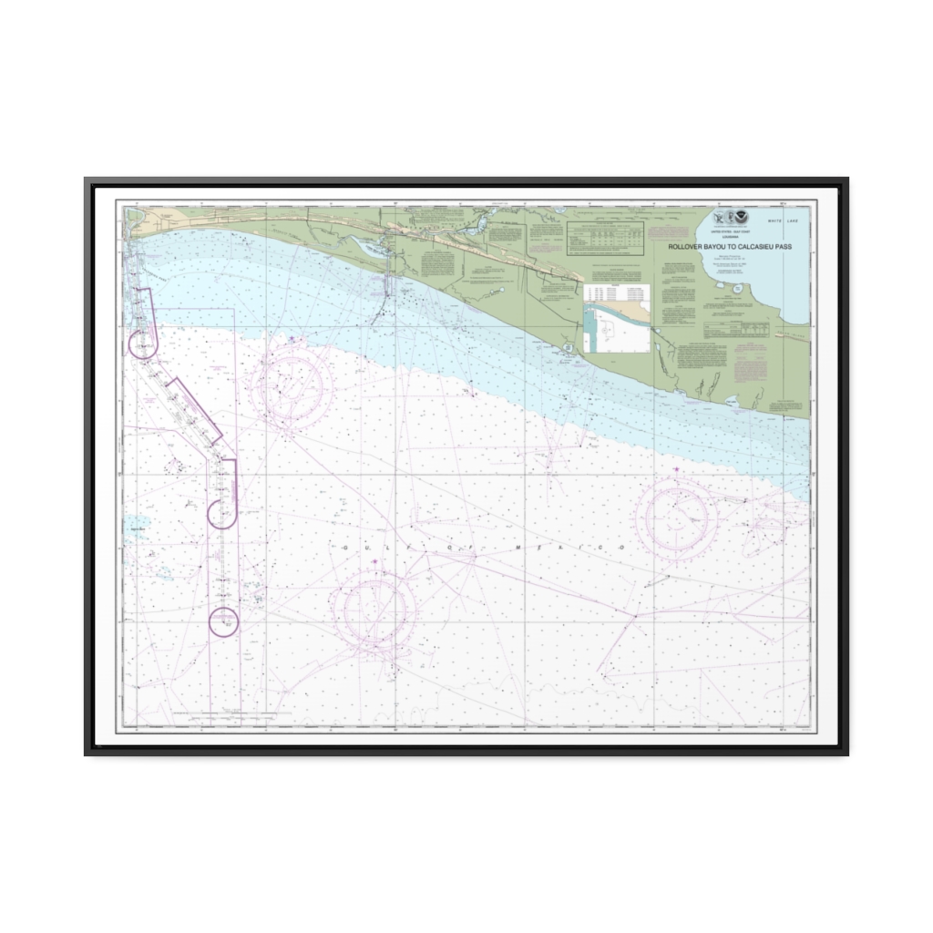
Rollover Bayou to Calcasieu Pass Nautical Chart 11344 – Floating Frame Canvas
From: $184.95PREMIUM FLOATING FRAME CANVASDistance from your search: 1634.6mi -
 11oz From $14.21 15oz From $16.46
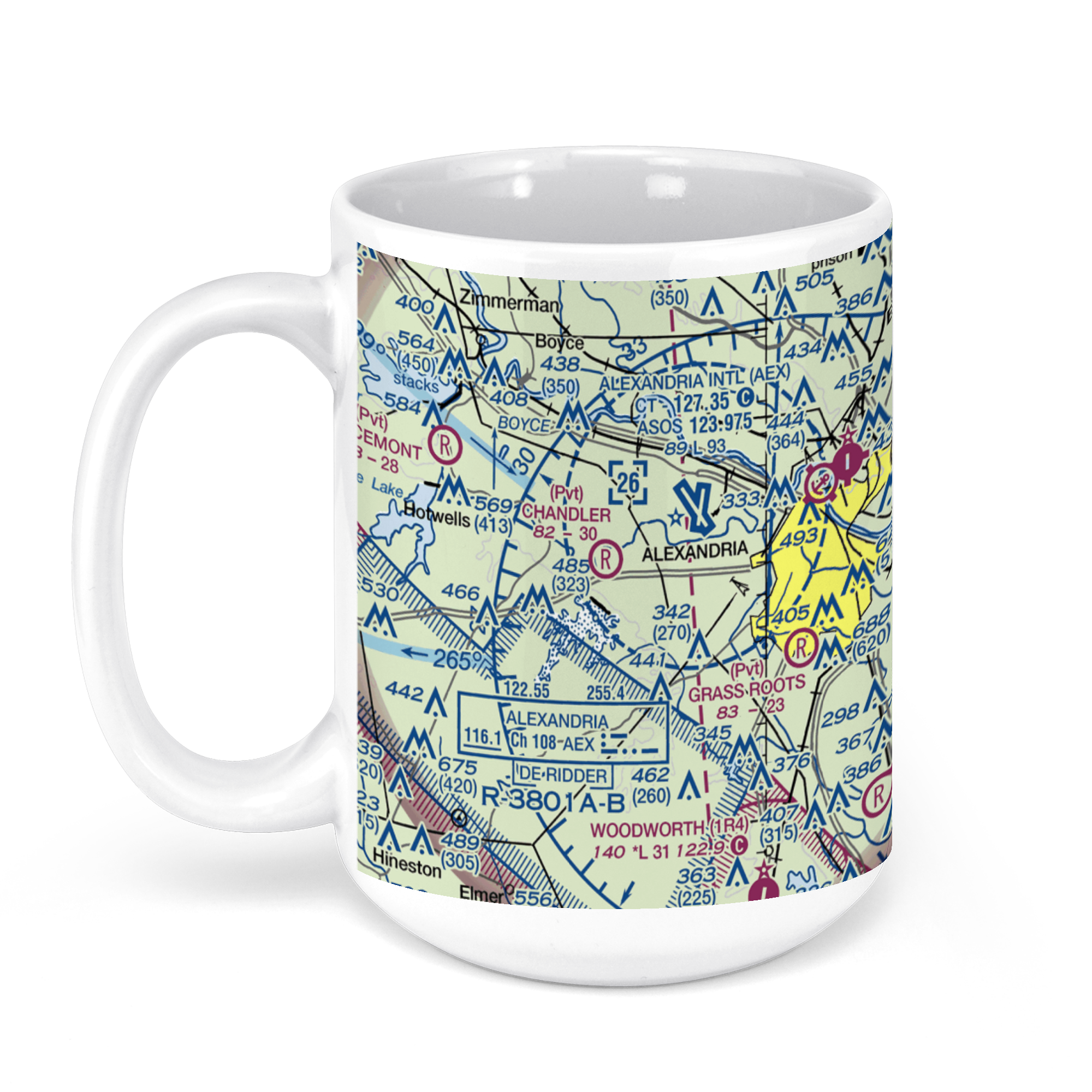
Alexandria International Airport, Frank Andrews Boulevard, Alexandria, LA, USA FAA Sectional Aeronautical Charts Chart Mug
From: $18.95MIX, MATCH & SAVE! UP TO 25% OFFDistance from your search: 1635.2mi -
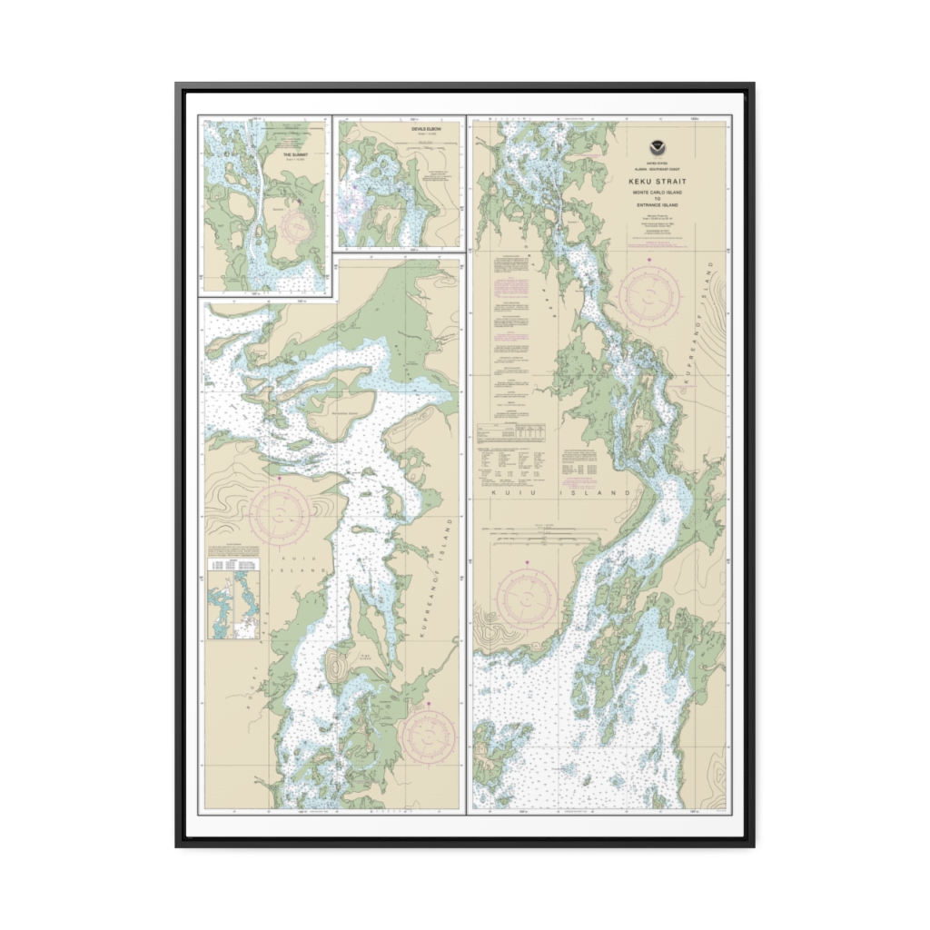
Keku Strait-Monte Carlo Island to Entrance Island The Summit Devils Elbow Nautical Chart 17372 – Floating Frame Canvas
From: $184.95PREMIUM FLOATING FRAME CANVASDistance from your search: 1636.2mi -
 11oz From $14.21 15oz From $16.46
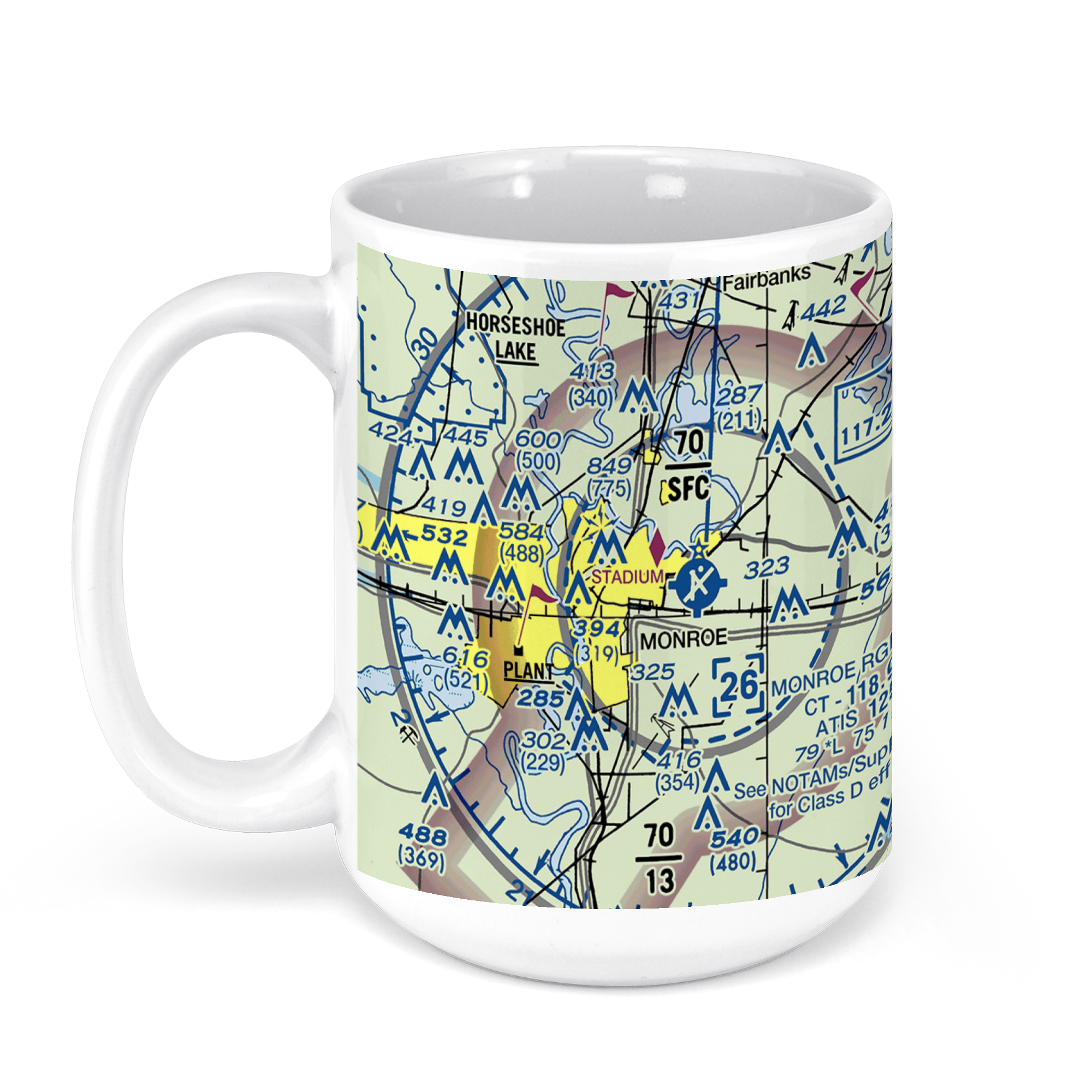
Monroe Regional Airport, Operations Road, Monroe, LA, USA FAA Sectional Aeronautical Charts Chart Mug
From: $18.95MIX, MATCH & SAVE! UP TO 25% OFFDistance from your search: 1643.1mi -
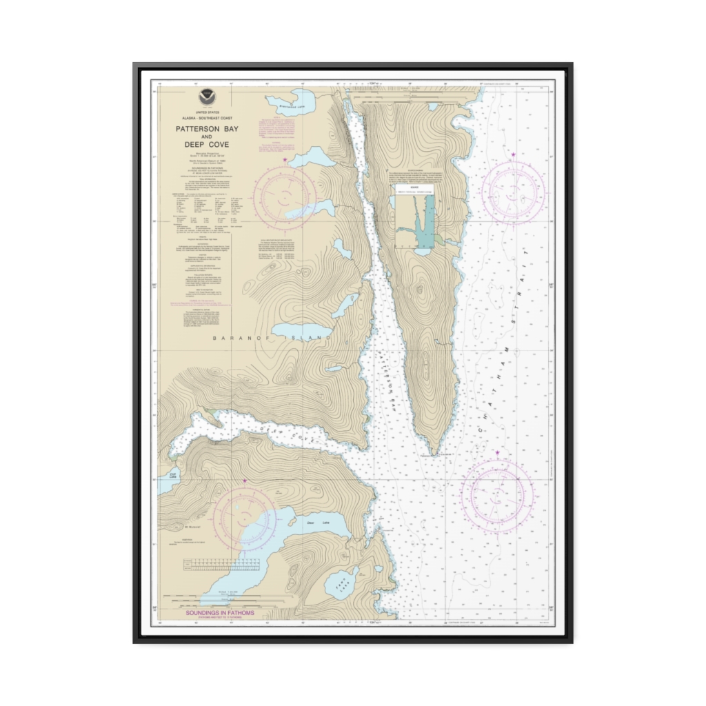
Patterson Bay and Deep Cove Nautical Chart 17335 – Floating Frame Canvas
From: $184.95PREMIUM FLOATING FRAME CANVASDistance from your search: 1644.8mi -
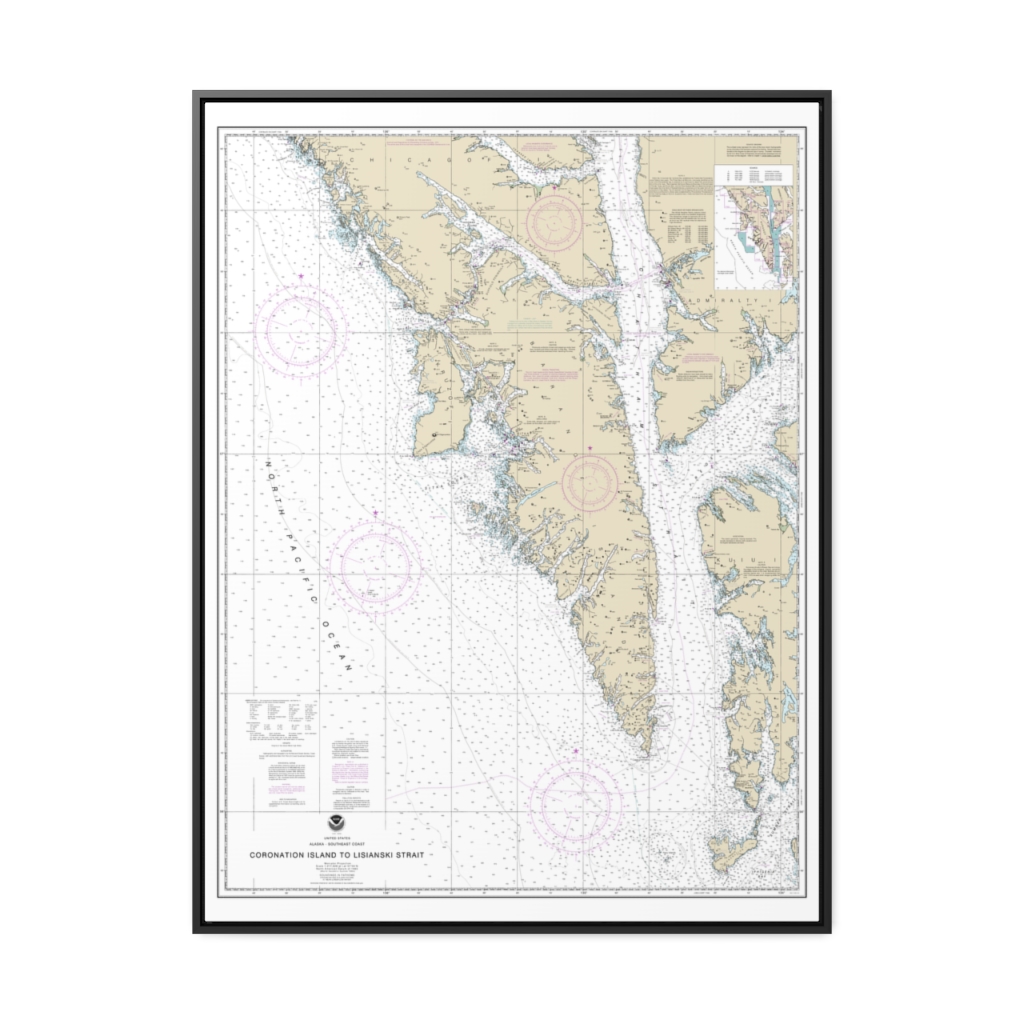
Coronation Island to Lisianski Strait Nautical Chart 17320 – Floating Frame Canvas
From: $184.95PREMIUM FLOATING FRAME CANVASDistance from your search: 1645mi -
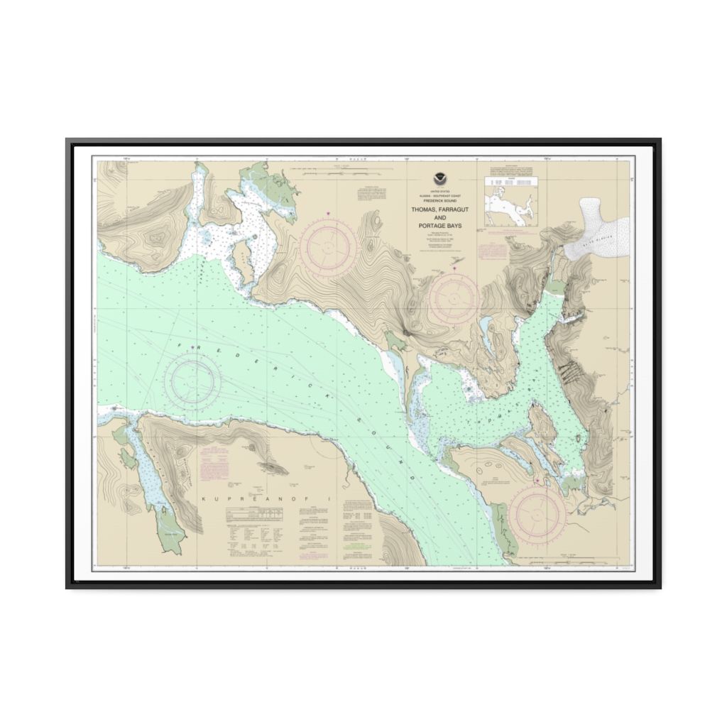
Thomas, Farragut, and Portage Bays, Frederick Sound Nautical Chart 17367 – Floating Frame Canvas
From: $184.95PREMIUM FLOATING FRAME CANVASDistance from your search: 1645.1mi -
 11oz From $14.21 15oz From $16.46
Quincy Regional Airport, Illinois 104, Quincy, IL, USA FAA Sectional Aeronautical Charts Chart Mug
From: $18.95MIX, MATCH & SAVE! UP TO 25% OFFDistance from your search: 1645.4mi -
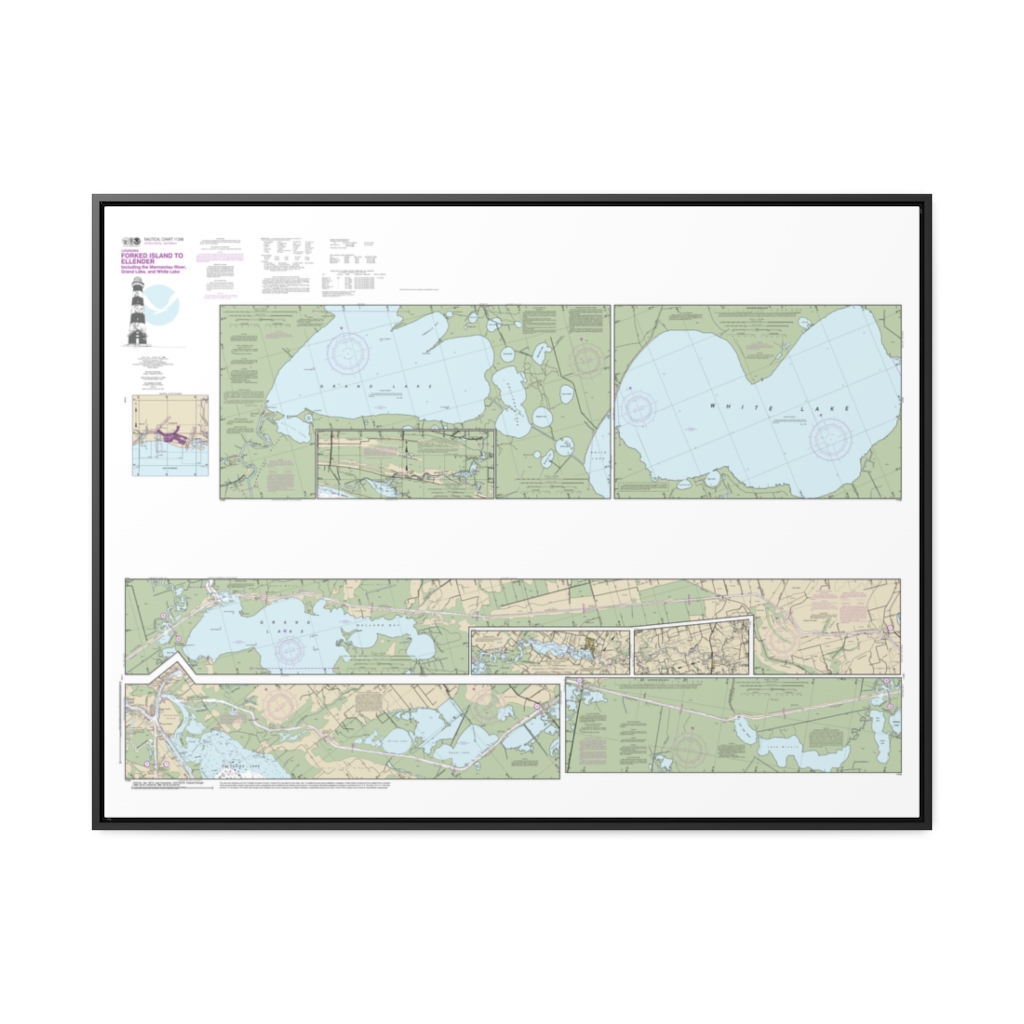
Intracoastal Waterway Forked Island to Ellender, including the Mermantau River, Grand Lake and White Lake Nautical Chart 11348 – Floating Frame Canvas
From: $164.95PREMIUM FLOATING FRAME CANVASDistance from your search: 1647.6mi -
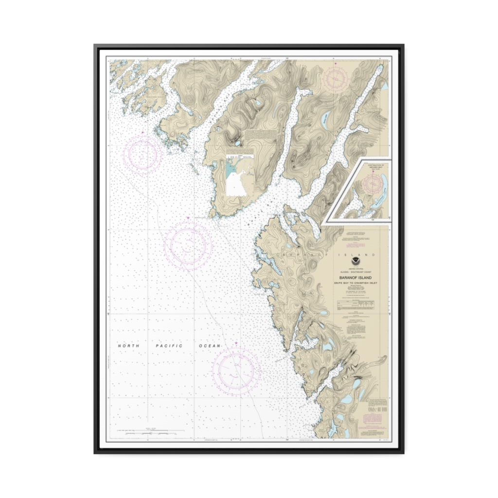
Snipe Bay to Crawfish Inlet,Baranof l. Nautical Chart 17328 – Floating Frame Canvas
From: $184.95PREMIUM FLOATING FRAME CANVASDistance from your search: 1648.3mi -
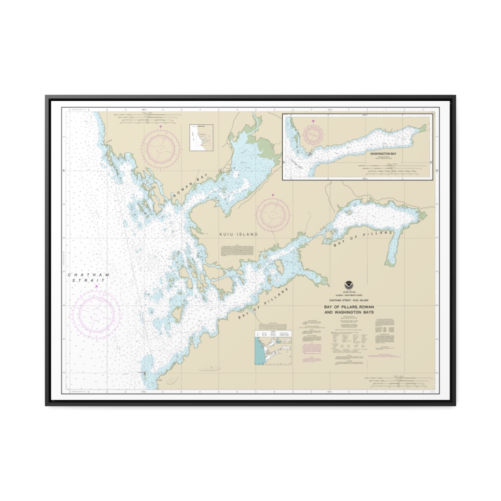
Bay of Pillars and Rowan Bay, Chatham Strait Washington Bay, Chatham Strait Nautical Chart 17370 – Floating Frame Canvas
From: $184.95PREMIUM FLOATING FRAME CANVASDistance from your search: 1651mi -
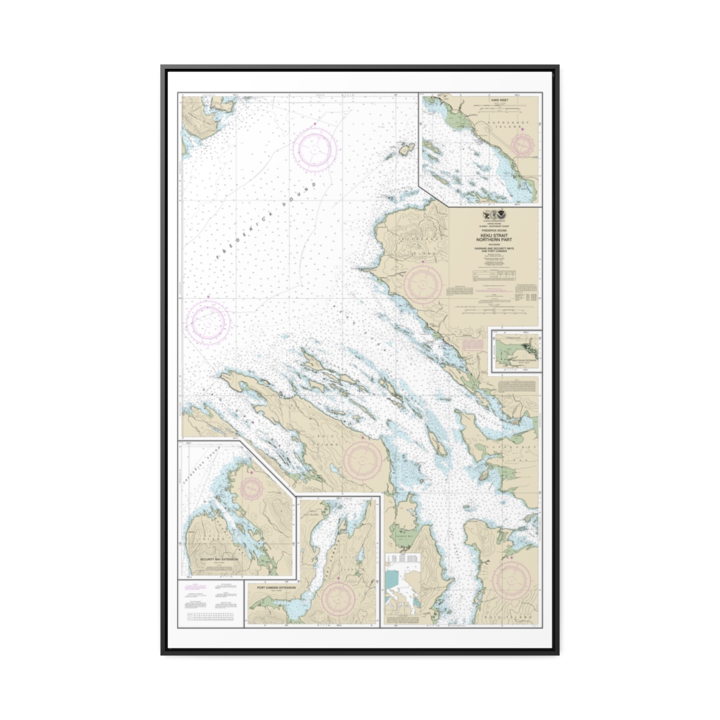
Keku Strait-northern part, including Saginaw and Security Bays and Port Camden;Kake Inset Nautical Chart 17368 – Floating Frame Canvas
From: $164.95PREMIUM FLOATING FRAME CANVASDistance from your search: 1656.8mi -
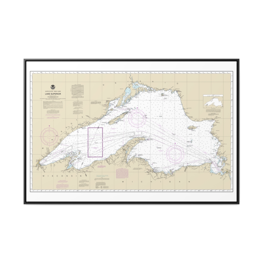
Lake Superior (Mercator Projection) Nautical Chart 14961 – Floating Frame Canvas
From: $164.95PREMIUM FLOATING FRAME CANVASDistance from your search: 1663.9mi -
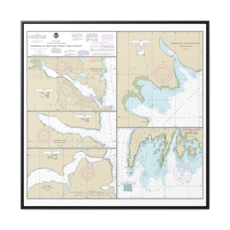
Harbors in Chatham Strait and vicinity Gut Bay, Chatham Strait Hoggatt Bay, Chatham Strait Red Bluff Bay, Chatham Strait Herring Bay and Chapin Bay, Frederick Sound Surprise Hbr, and Murder Cove, Frederick Sound Nautical Chart 17336 – Floating Frame Canvas
From: $139.95PREMIUM FLOATING FRAME CANVASDistance from your search: 1665.9mi -
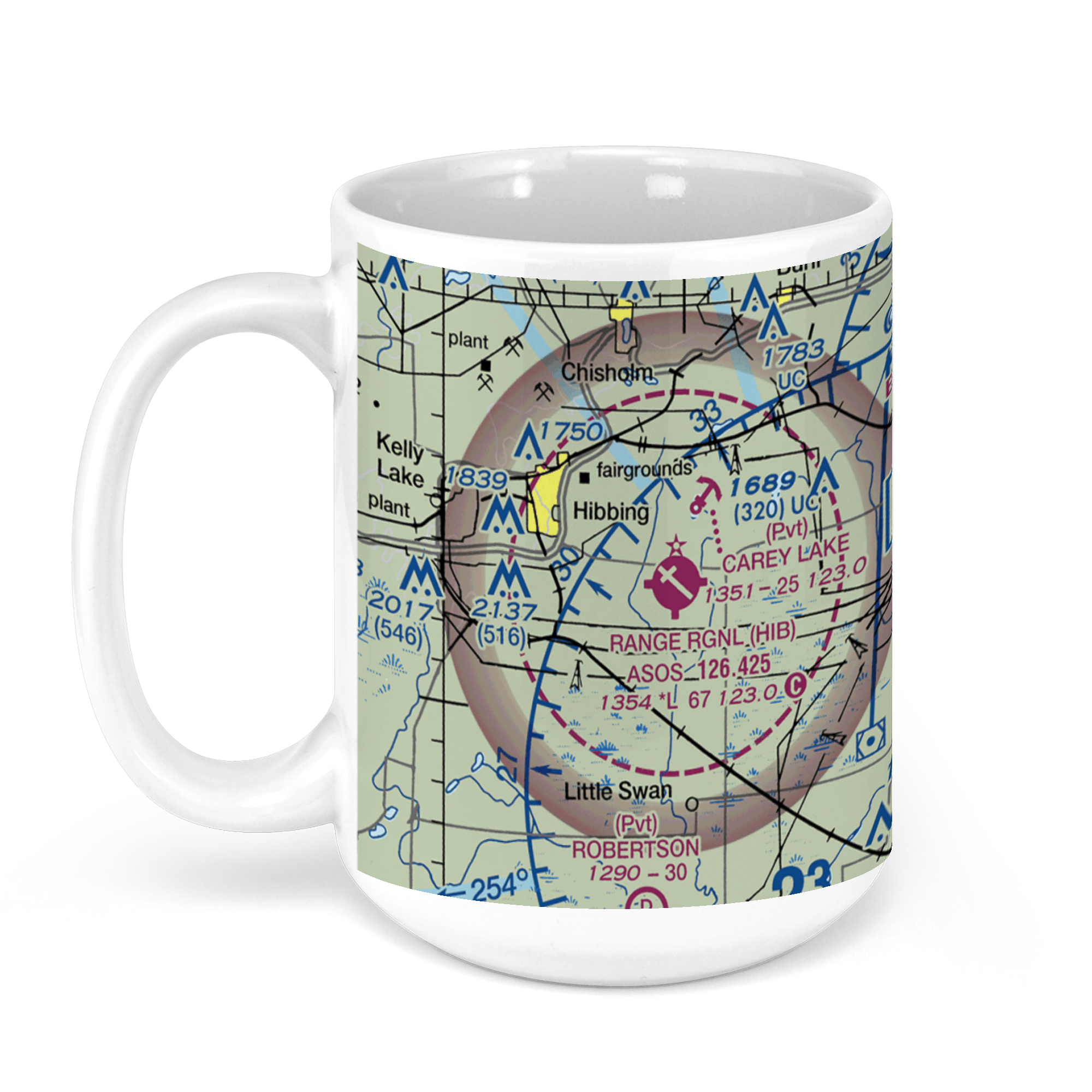 11oz From $14.21 15oz From $16.46
Range Regional Airport, Minnesota 37, Hibbing, MN, USA FAA Sectional Aeronautical Charts Chart Mug
From: $18.95MIX, MATCH & SAVE! UP TO 25% OFFDistance from your search: 1674.9mi -
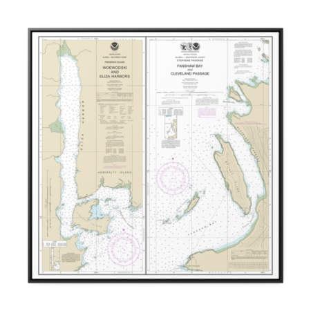
Woewodski and Eliza Hbrs. Fanshaw Bay and Cleveland Passage Nautical Chart 17365 – Floating Frame Canvas
From: $139.95PREMIUM FLOATING FRAME CANVASDistance from your search: 1675.3mi -
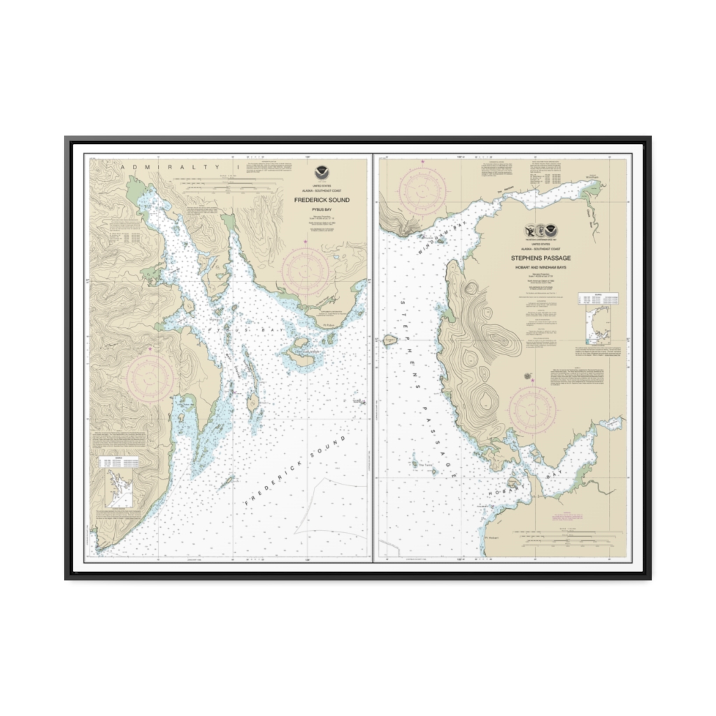
Pybus Bay, Frederick Sound Hobart and Windham Bays, Stephens P. Nautical Chart 17363 – Floating Frame Canvas
From: $184.95PREMIUM FLOATING FRAME CANVASDistance from your search: 1675.6mi -
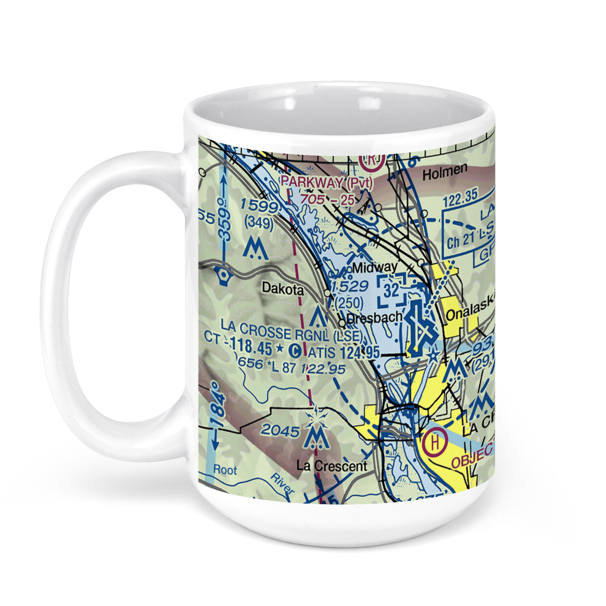 11oz From $14.21 15oz From $16.46
LA CROSSE MUNI airport (LSE), Airport Drive, La Crosse, WI, USA FAA Sectional Aeronautical Charts Chart Mug
From: $18.95MIX, MATCH & SAVE! UP TO 25% OFFDistance from your search: 1678.2mi -
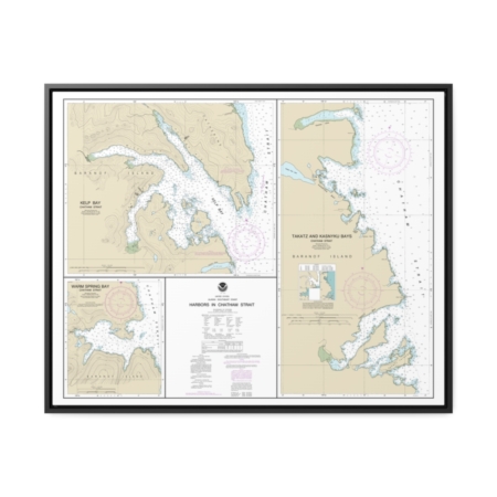
Harbors in Chatham Strait Kelp Bay Warm Spring Bay Takatz and Kasnyku Bays Nautical Chart 17337 – Floating Frame Canvas
From: $184.95PREMIUM FLOATING FRAME CANVASDistance from your search: 1680mi -
 11oz From $14.21 15oz From $16.46
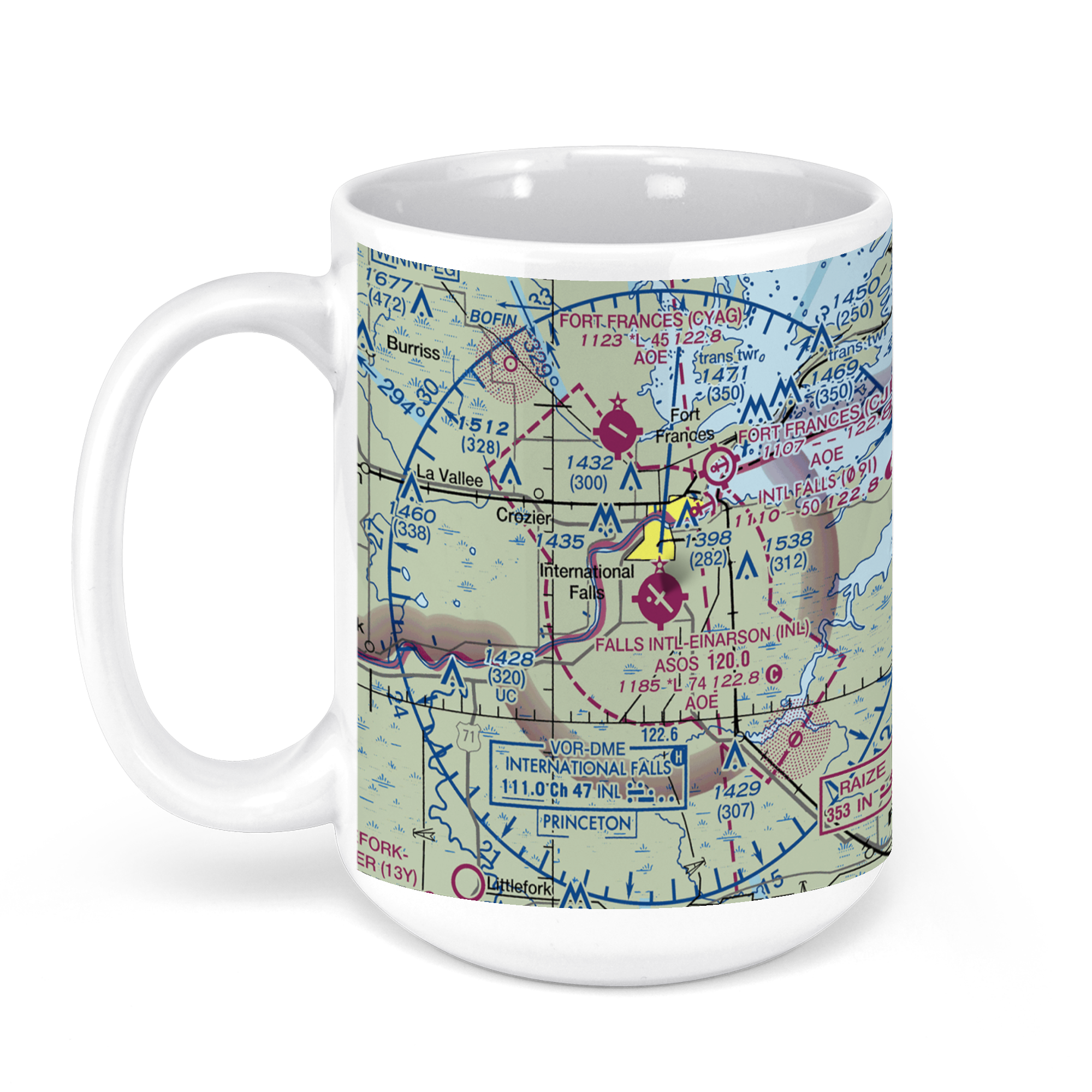
Falls International Airport, 2nd Avenue East, International Falls, MN, USA FAA Sectional Aeronautical Charts Chart Mug
From: $18.95MIX, MATCH & SAVE! UP TO 25% OFFDistance from your search: 1682.9mi -
 11oz From $14.21 15oz From $16.46
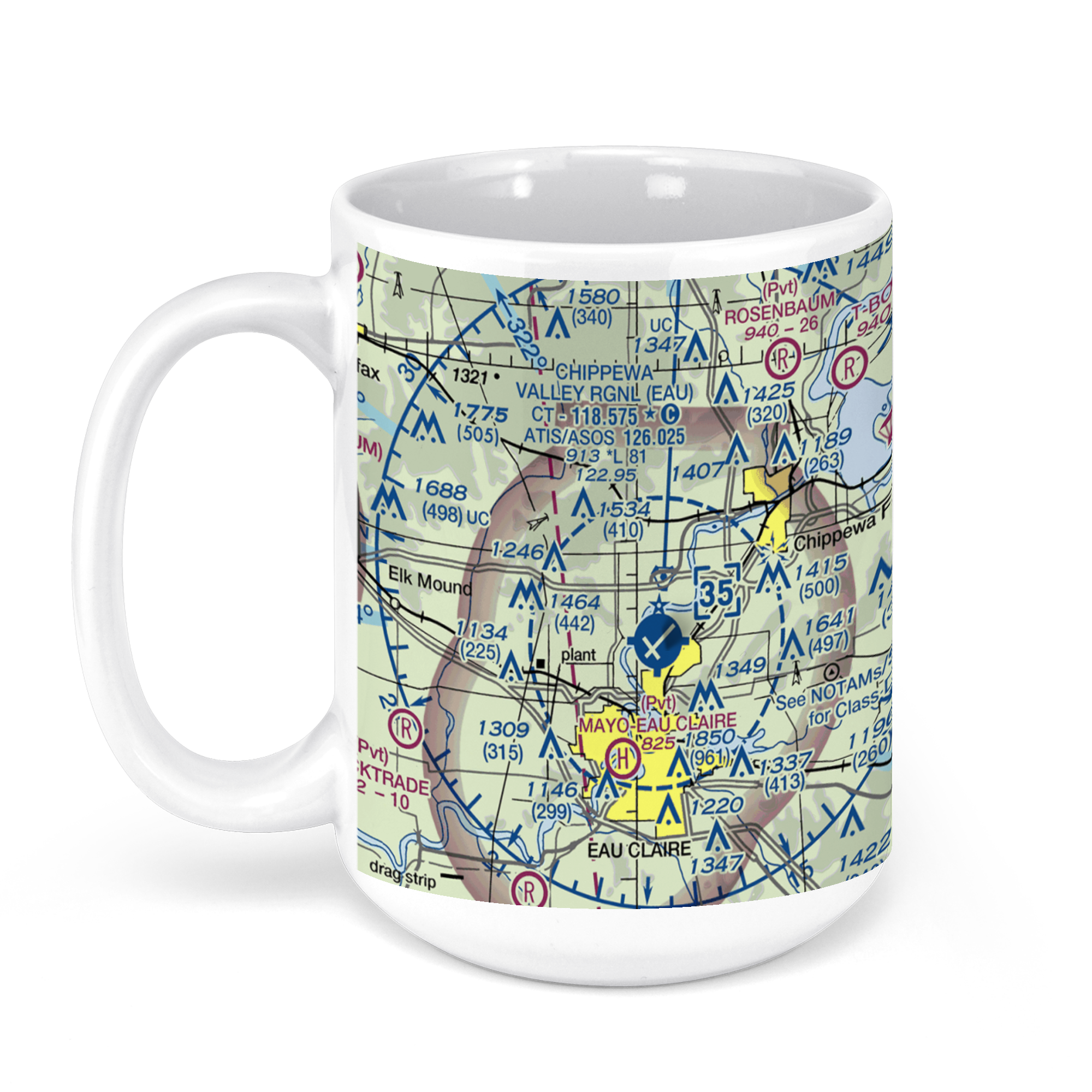
Chippewa Valley Regional Airport, Starr Avenue, Eau Claire, WI, USA FAA Sectional Aeronautical Charts Chart Mug
From: $18.95MIX, MATCH & SAVE! UP TO 25% OFFDistance from your search: 1683.2mi


