- Display 24 Products per page
-
 11oz From $14.21 15oz From $16.46
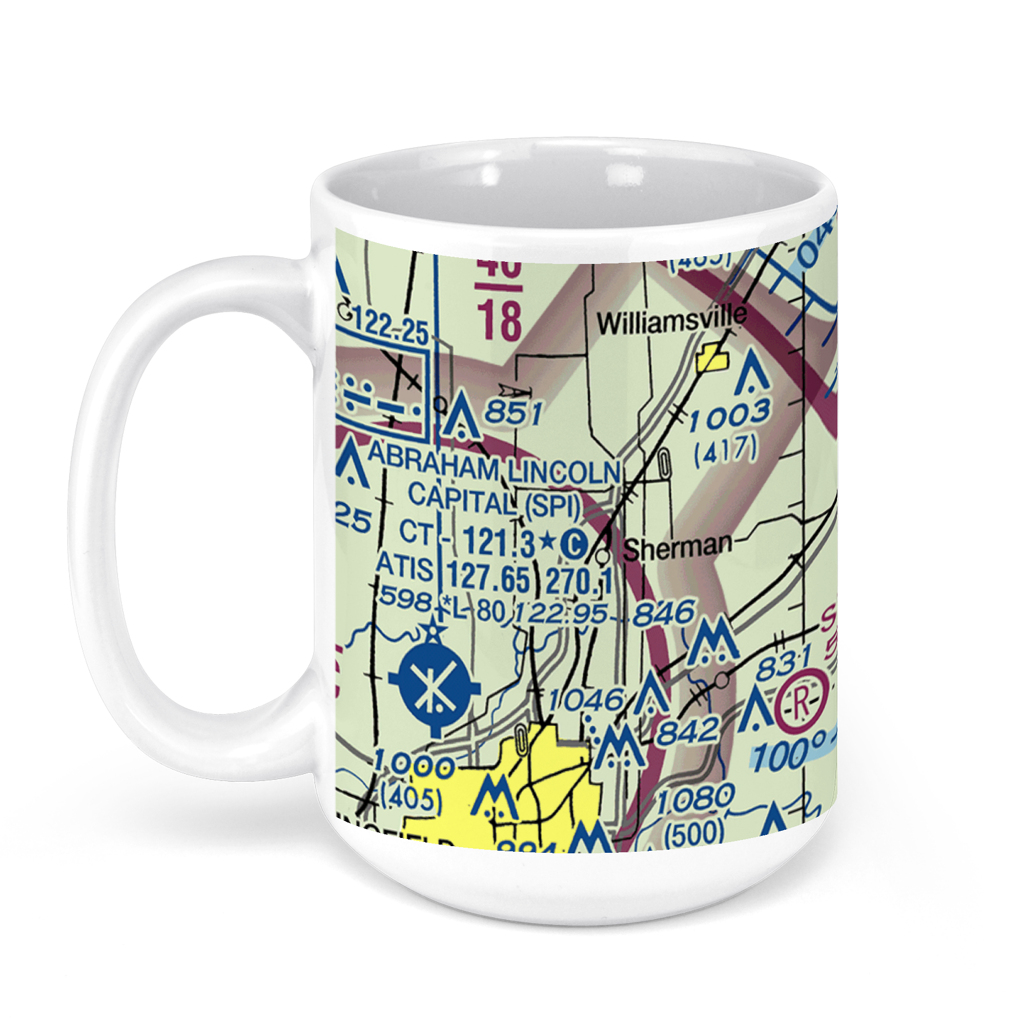
Abraham Lincoln Capital Airport, Capital Airport Drive, Springfield, IL, USA FAA Sectional Aeronautical Charts Chart Mug
From: $18.95MIX, MATCH & SAVE! UP TO 25% OFFDistance from your search: 1673.9mi -
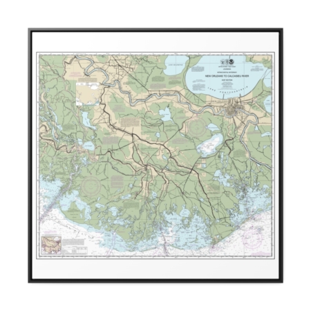
Intracoastal Waterway New Orleans to Calcasieu River East Section Nautical Chart 11352 – Floating Frame Canvas
From: $139.95PREMIUM FLOATING FRAME CANVASDistance from your search: 1675.3mi -
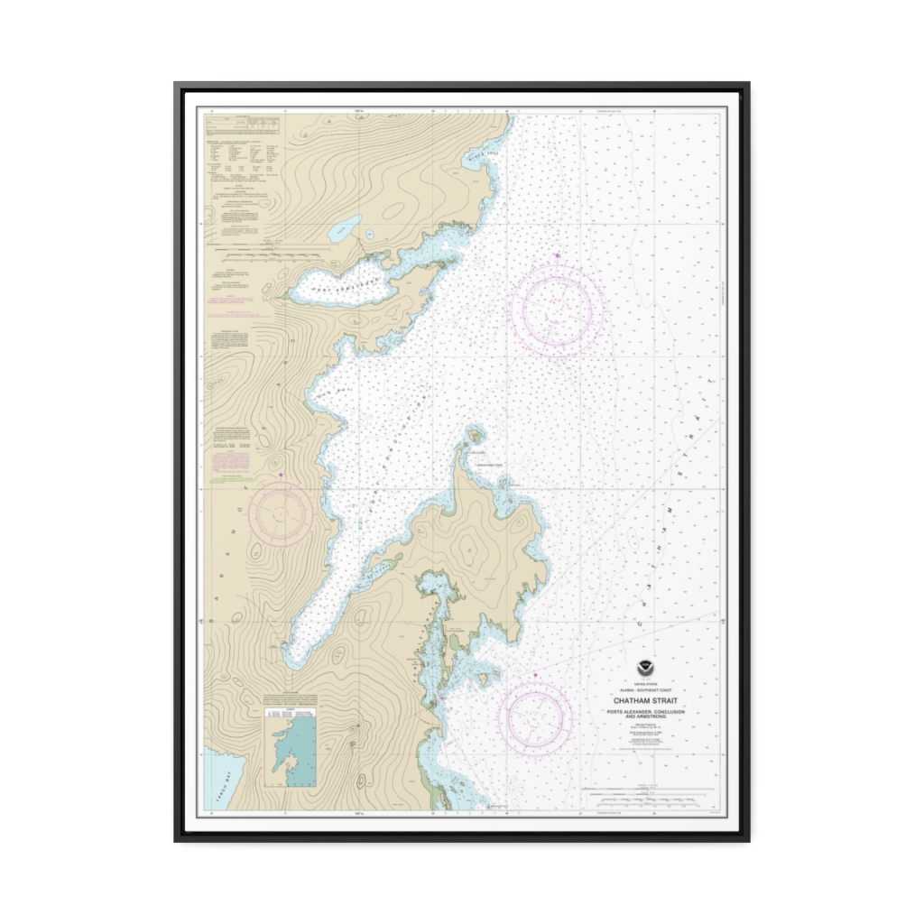
Chatham Strait Ports Alexander, Conclusion, and Armstrong Nautical Chart 17331 – Floating Frame Canvas
From: $184.95PREMIUM FLOATING FRAME CANVASDistance from your search: 1676.8mi -
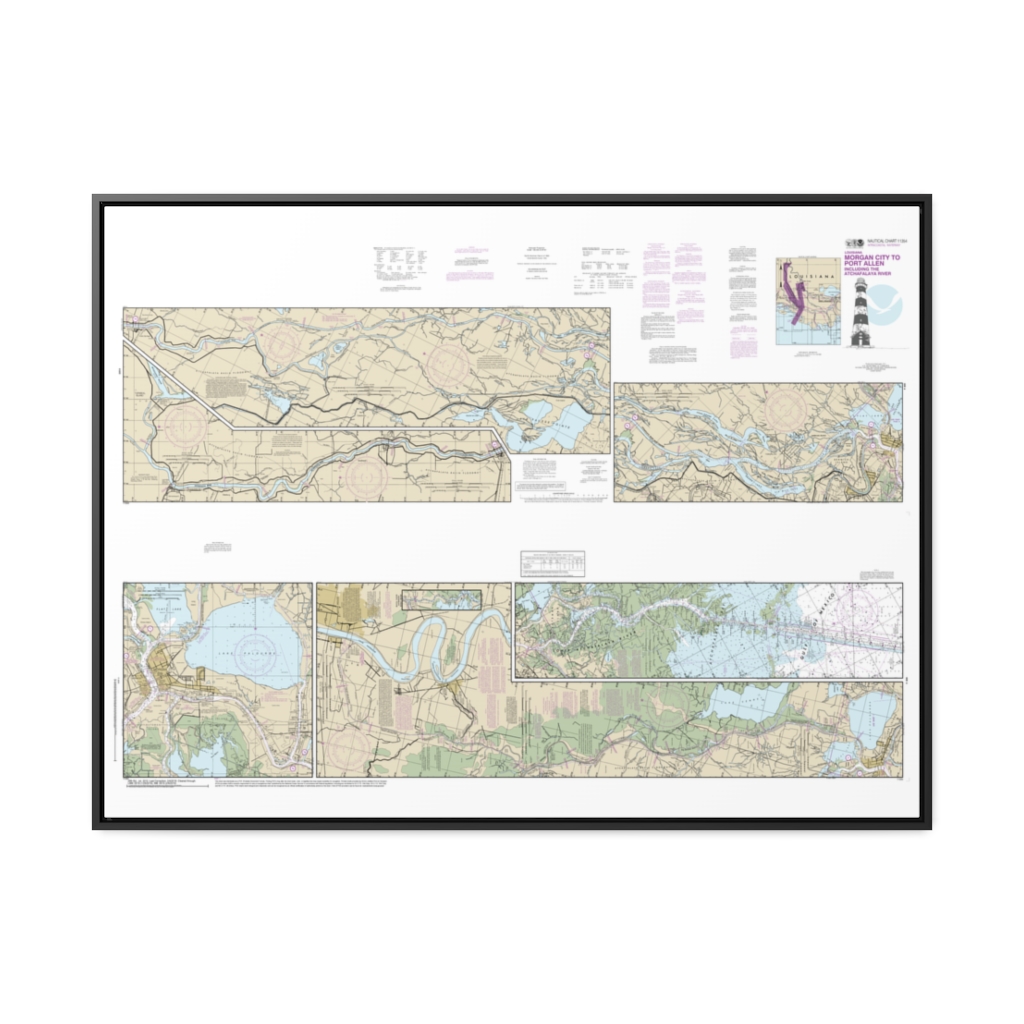
Intracoastal Waterway Morgan City to Port Allen, including the Atchafalaya River Nautical Chart 11354 – Floating Frame Canvas
From: $164.95PREMIUM FLOATING FRAME CANVASDistance from your search: 1677.1mi -
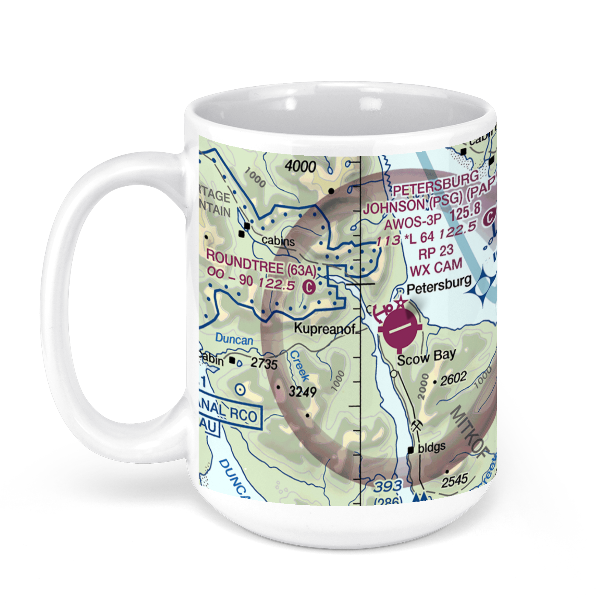 11oz From $14.21 15oz From $16.46
Petersburg James a Johnson, Haugen Drive, Petersburg, AK, USA FAA Sectional Aeronautical Charts Chart Mug
From: $18.95MIX, MATCH & SAVE! UP TO 25% OFFDistance from your search: 1677.8mi -
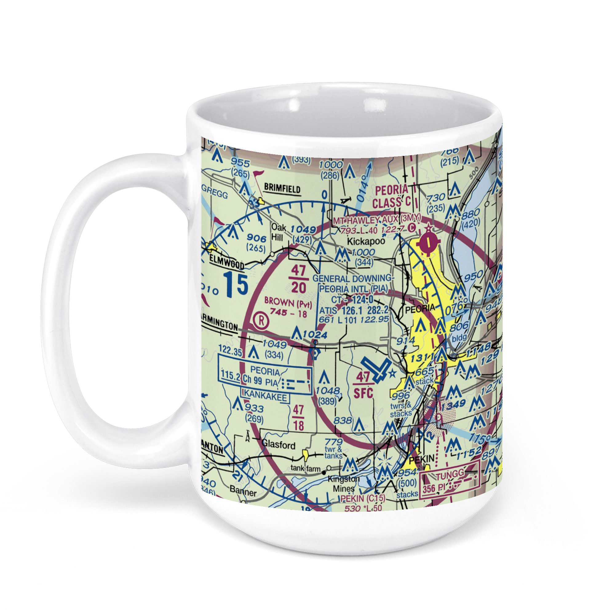 11oz From $14.21 15oz From $16.46
General Wayne A. Downing Peoria International Airport, Everett McKinley Dirksen Parkway, Peoria, IL, USA FAA Sectional Aeronautical Charts Chart Mug
From: $18.95MIX, MATCH & SAVE! UP TO 25% OFFDistance from your search: 1677.8mi -
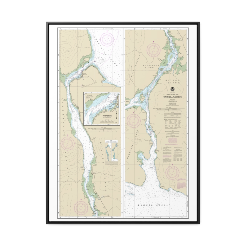
Wrangell Narrows Petersburg Harbor Nautical Chart 17375 – Floating Frame Canvas
From: $184.95PREMIUM FLOATING FRAME CANVASDistance from your search: 1678.5mi -
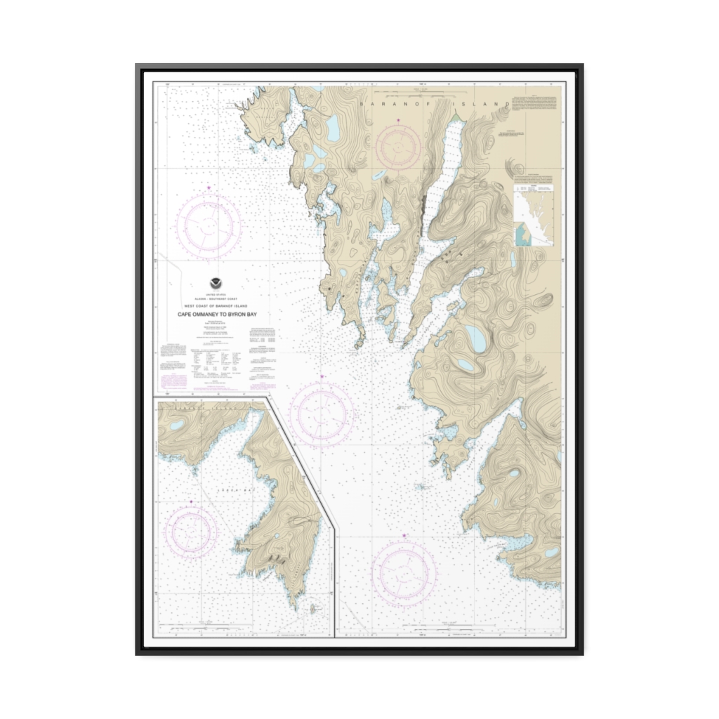
West Coast of Baranof Island Cape Ommaney to Byron Bay Nautical Chart 17330 – Floating Frame Canvas
From: $184.95PREMIUM FLOATING FRAME CANVASDistance from your search: 1681.4mi -
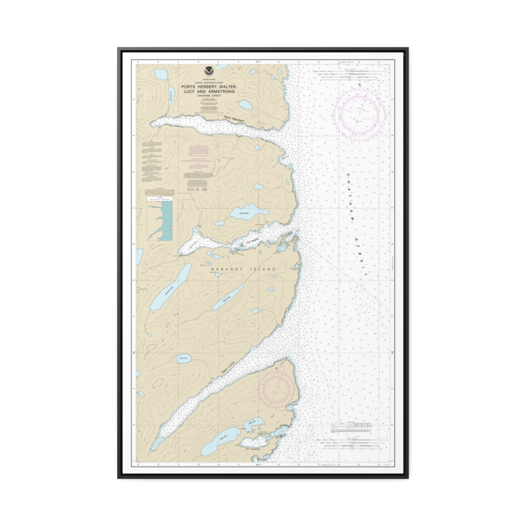
Ports Herbert, Walter, Lucy and Armstrong Nautical Chart 17333 – Floating Frame Canvas
From: $164.95PREMIUM FLOATING FRAME CANVASDistance from your search: 1681.5mi -
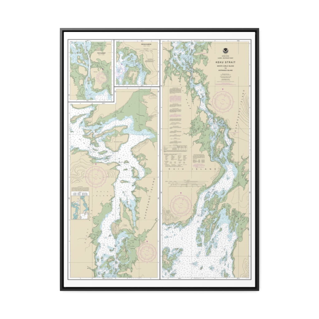
Keku Strait-Monte Carlo Island to Entrance Island The Summit Devils Elbow Nautical Chart 17372 – Floating Frame Canvas
From: $184.95PREMIUM FLOATING FRAME CANVASDistance from your search: 1684.1mi -
Isles Dernieres to Point au Fer Nautical Chart 11356 – Floating Frame Canvas
From: $184.95PREMIUM FLOATING FRAME CANVASDistance from your search: 1686.4mi -
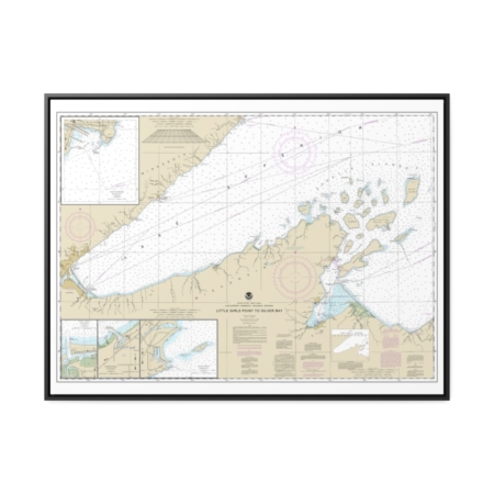
Little Girls Point to Silver Bay, including Duluth and Apostle Islands Cornucopia Harbor Port Wing Harbor Knife River Harbor Two Harbors Nautical Chart 14966 – Floating Frame Canvas
From: $184.95PREMIUM FLOATING FRAME CANVASDistance from your search: 1690.5mi -
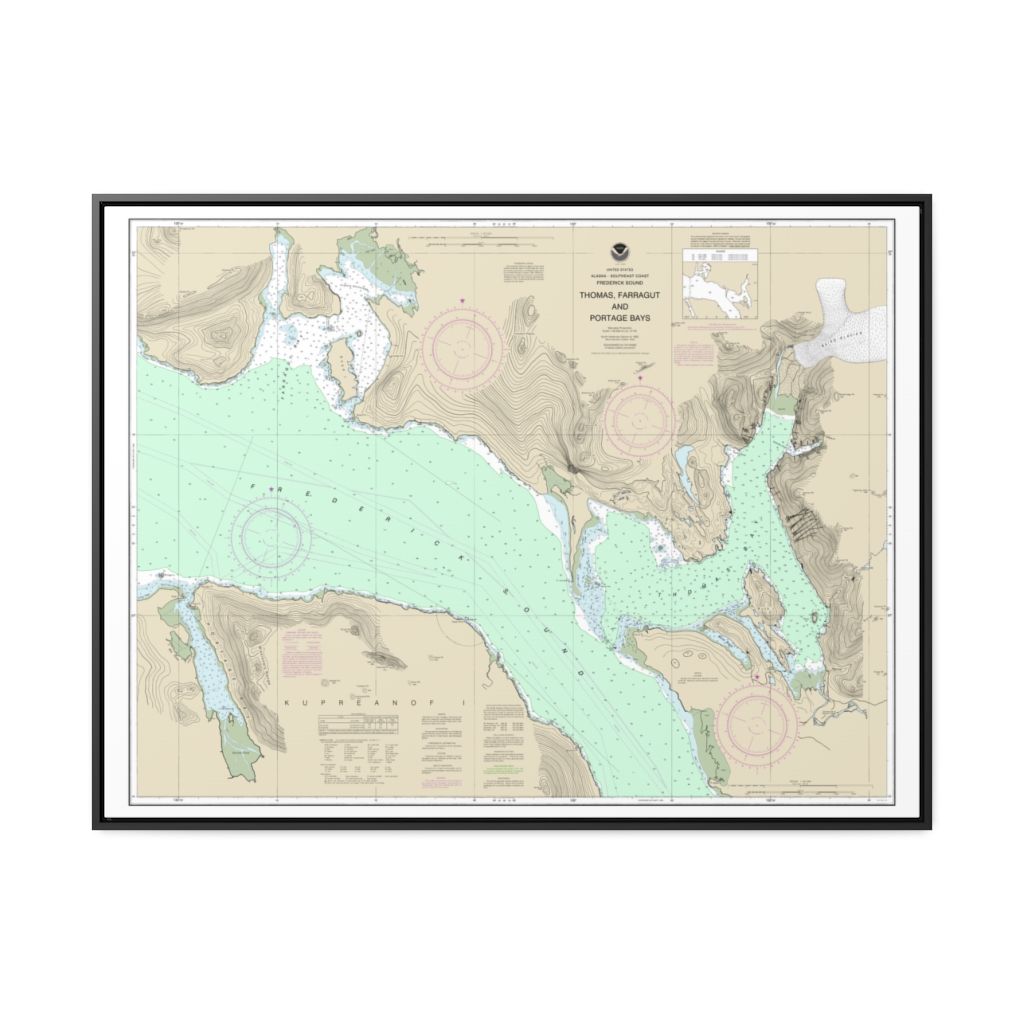
Thomas, Farragut, and Portage Bays, Frederick Sound Nautical Chart 17367 – Floating Frame Canvas
From: $184.95PREMIUM FLOATING FRAME CANVASDistance from your search: 1692.3mi -
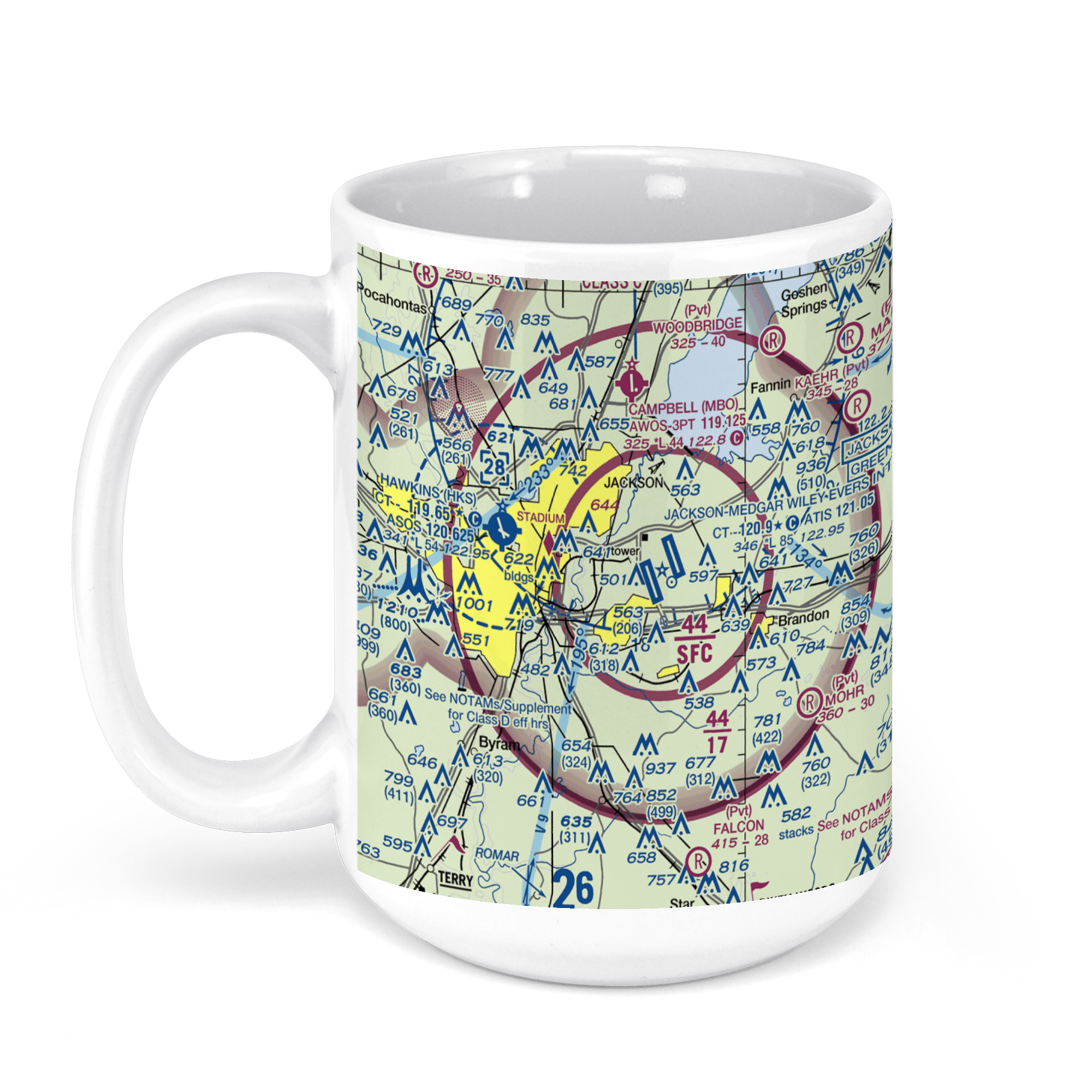 11oz From $14.21 15oz From $16.46
Jackson-Evers International Airport (JAN), International Drive, Jackson, MS, USA FAA Sectional Aeronautical Charts Chart Mug
From: $18.95MIX, MATCH & SAVE! UP TO 25% OFFDistance from your search: 1693.3mi -
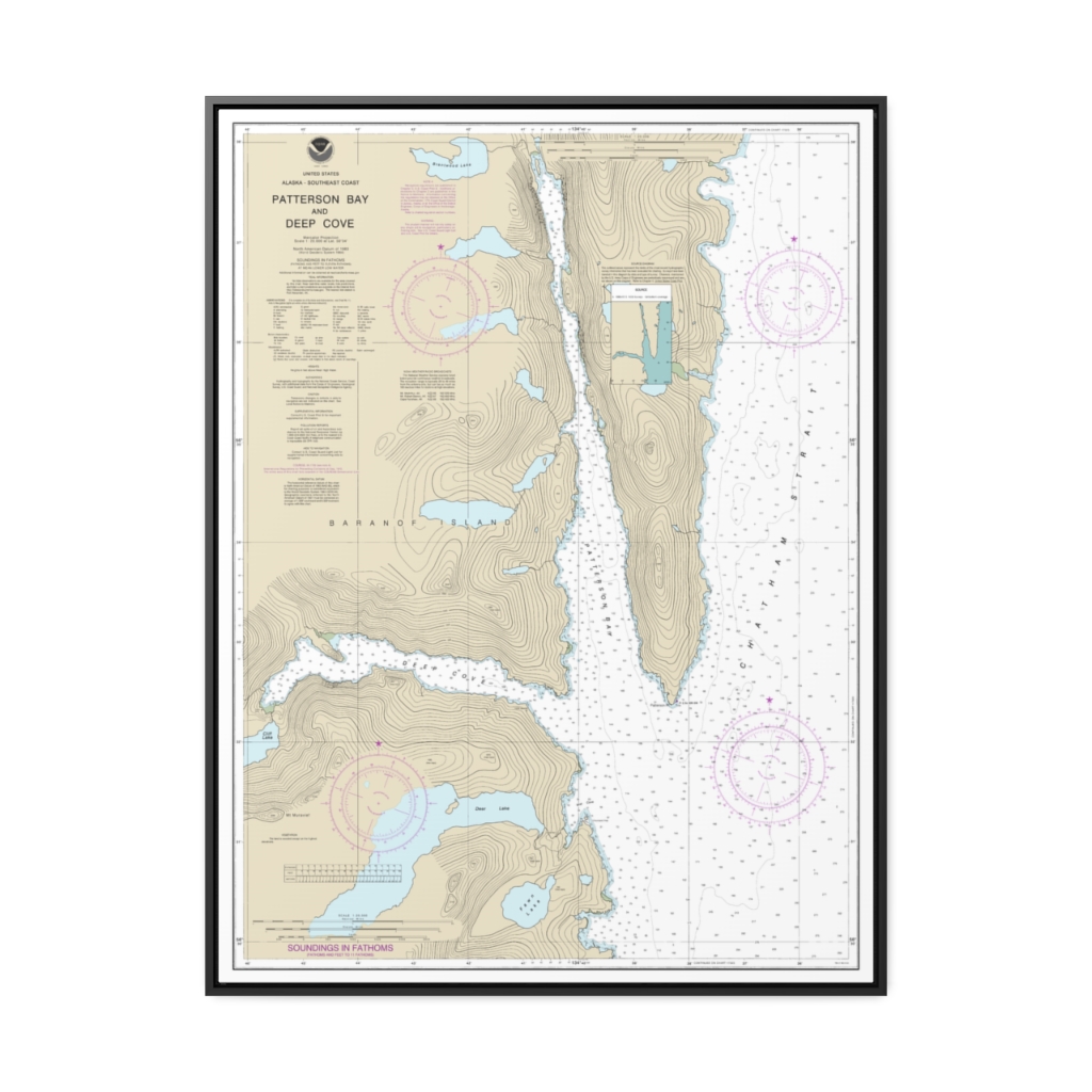
Patterson Bay and Deep Cove Nautical Chart 17335 – Floating Frame Canvas
From: $184.95PREMIUM FLOATING FRAME CANVASDistance from your search: 1694mi -
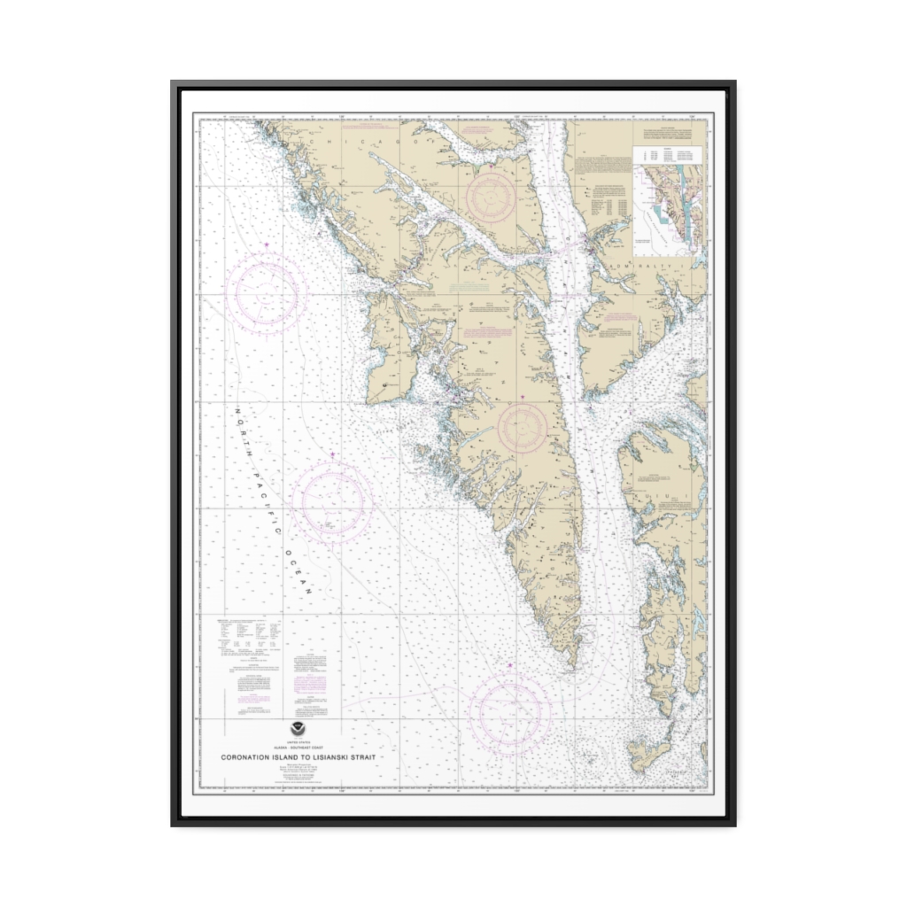
Coronation Island to Lisianski Strait Nautical Chart 17320 – Floating Frame Canvas
From: $184.95PREMIUM FLOATING FRAME CANVASDistance from your search: 1697.1mi -
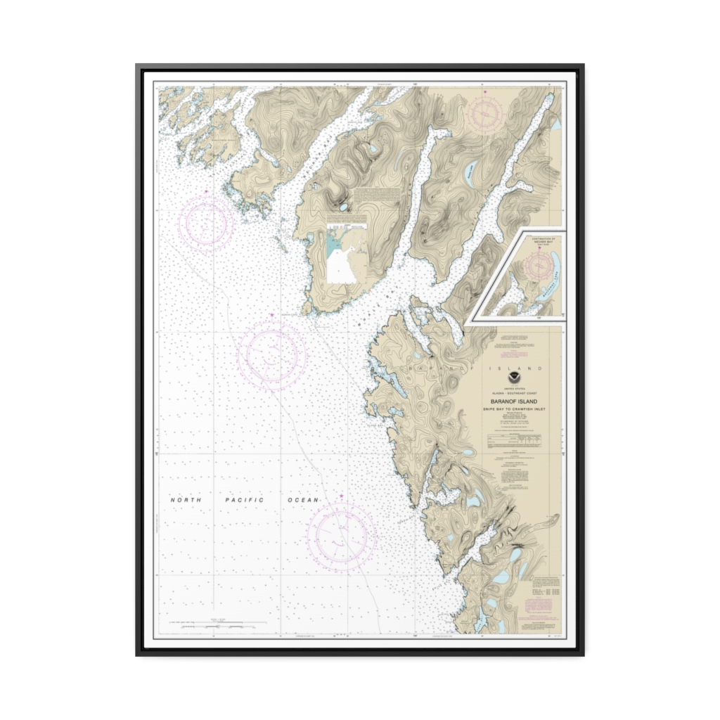
Snipe Bay to Crawfish Inlet,Baranof l. Nautical Chart 17328 – Floating Frame Canvas
From: $184.95PREMIUM FLOATING FRAME CANVASDistance from your search: 1698.3mi -
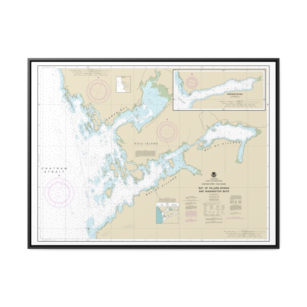
Bay of Pillars and Rowan Bay, Chatham Strait Washington Bay, Chatham Strait Nautical Chart 17370 – Floating Frame Canvas
From: $184.95PREMIUM FLOATING FRAME CANVASDistance from your search: 1699.5mi -
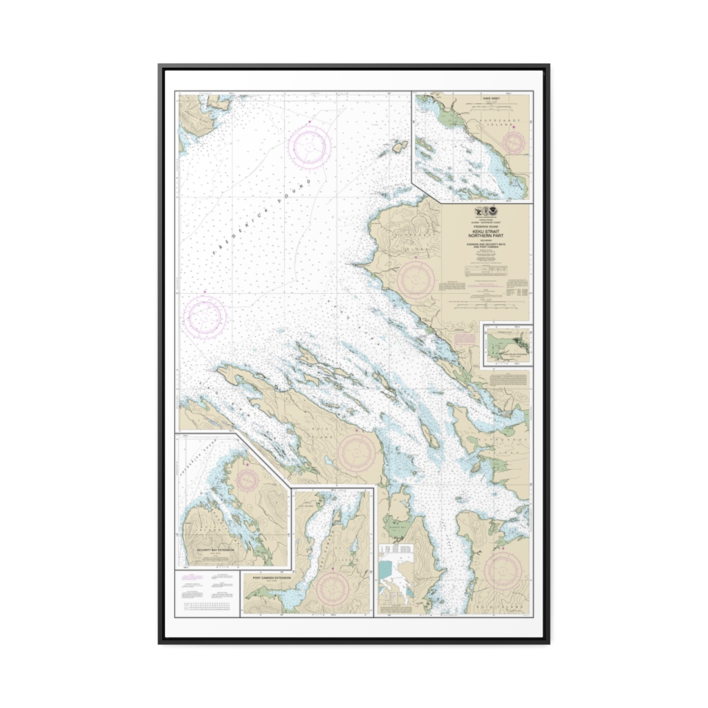
Keku Strait-northern part, including Saginaw and Security Bays and Port Camden;Kake Inset Nautical Chart 17368 – Floating Frame Canvas
From: $164.95PREMIUM FLOATING FRAME CANVASDistance from your search: 1704.6mi -
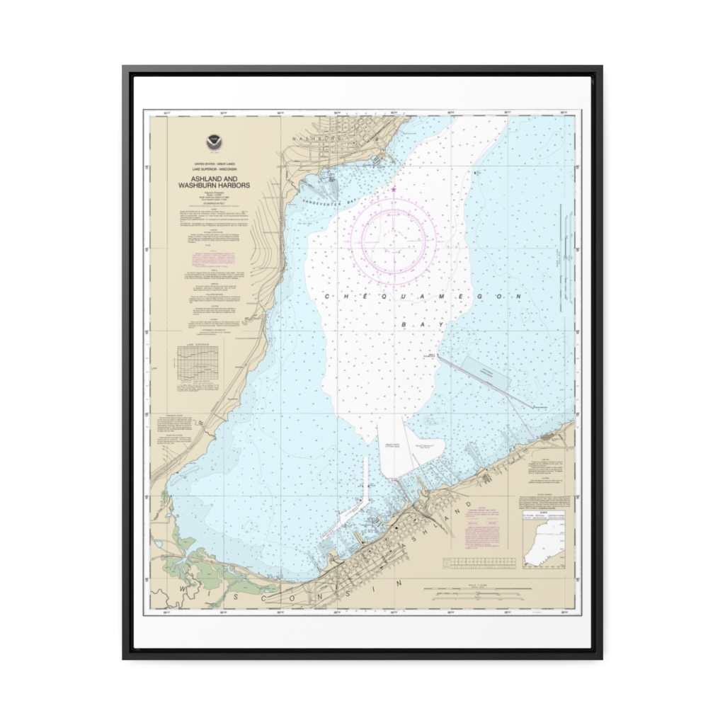
Ashland and Washburn harbors Nautical Chart 14974 – Floating Frame Canvas
From: $184.95PREMIUM FLOATING FRAME CANVASDistance from your search: 1704.8mi -
 11oz From $14.21 15oz From $16.46
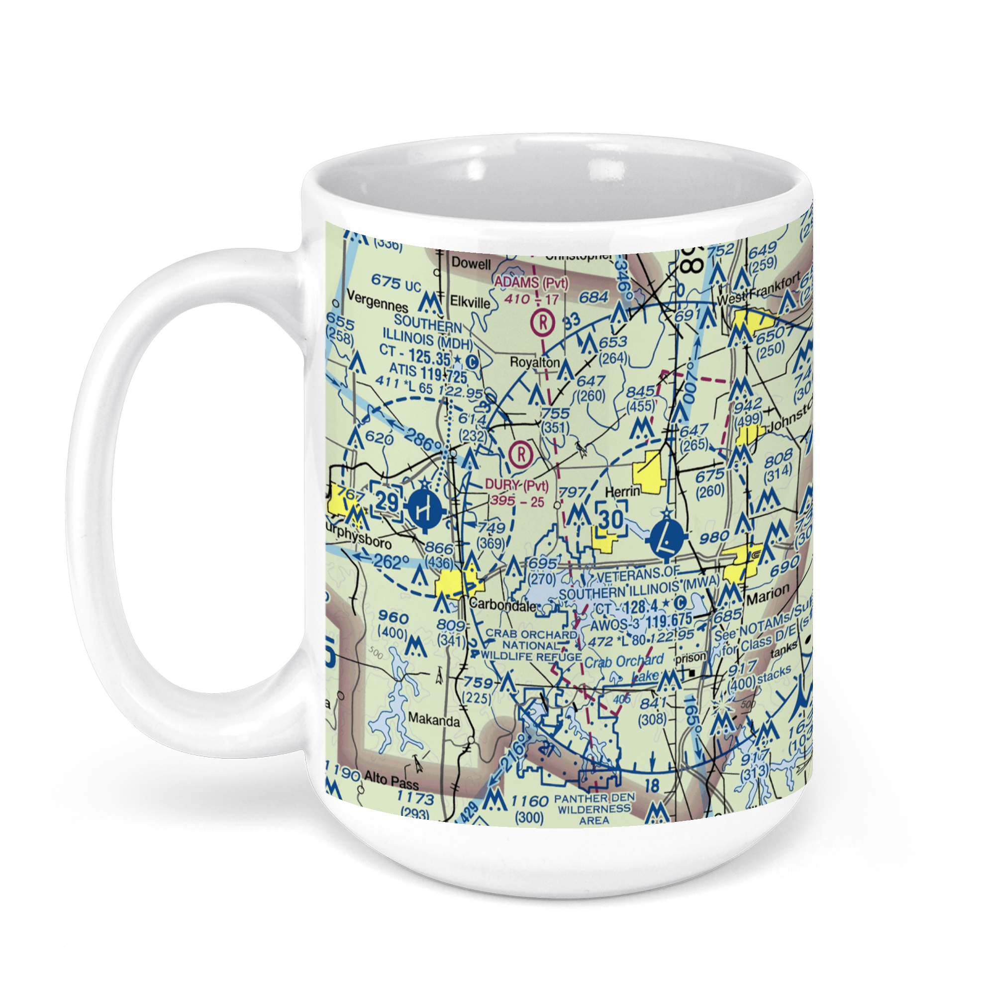
Williamson County Regional Airport, Terminal Drive, Marion, IL, USA FAA Sectional Aeronautical Charts Chart Mug
From: $18.95MIX, MATCH & SAVE! UP TO 25% OFFDistance from your search: 1707mi -
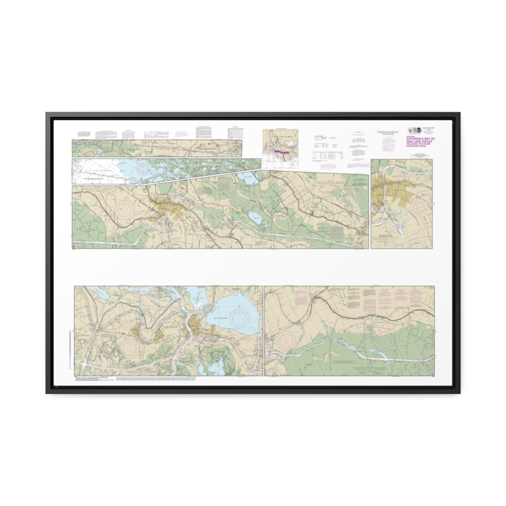
Intracoastal Waterway Catahoula Bay to Wax Lake Outlet including the Houma Navigation canal Nautical Chart 11355 – Floating Frame Canvas
From: $164.95PREMIUM FLOATING FRAME CANVASDistance from your search: 1707.5mi -
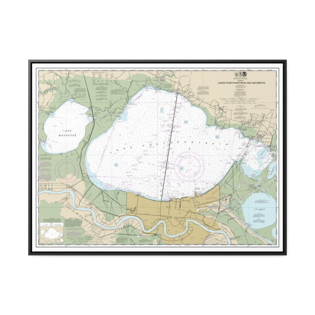
Lakes Pontchartrain and Maurepas Nautical Chart 11369 – Floating Frame Canvas
From: $184.95PREMIUM FLOATING FRAME CANVASDistance from your search: 1707.9mi -
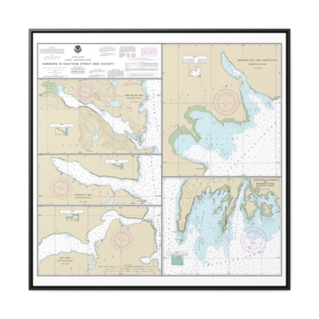
Harbors in Chatham Strait and vicinity Gut Bay, Chatham Strait Hoggatt Bay, Chatham Strait Red Bluff Bay, Chatham Strait Herring Bay and Chapin Bay, Frederick Sound Surprise Hbr, and Murder Cove, Frederick Sound Nautical Chart 17336 – Floating Frame Canvas
From: $139.95PREMIUM FLOATING FRAME CANVASDistance from your search: 1714.7mi


