- Display 24 Products per page
-
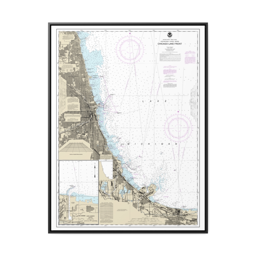
Chicago Lake Front Gary Harbor Nautical Chart 14927 – Floating Frame Canvas
From: $184.95PREMIUM FLOATING FRAME CANVASDistance from your search: 1754.8mi -
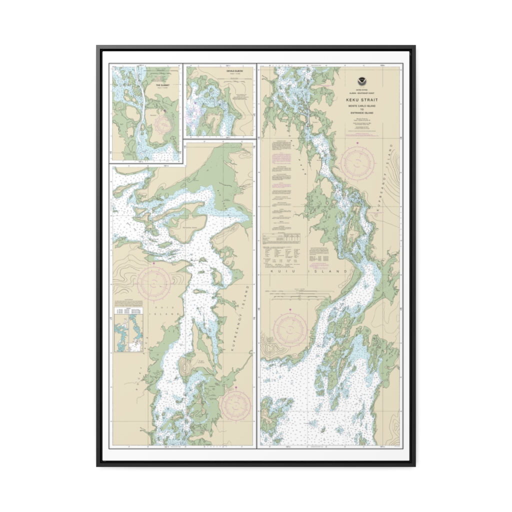
Keku Strait-Monte Carlo Island to Entrance Island The Summit Devils Elbow Nautical Chart 17372 – Floating Frame Canvas
From: $184.95PREMIUM FLOATING FRAME CANVASDistance from your search: 1755.4mi -
 11oz From $14.21 15oz From $16.46
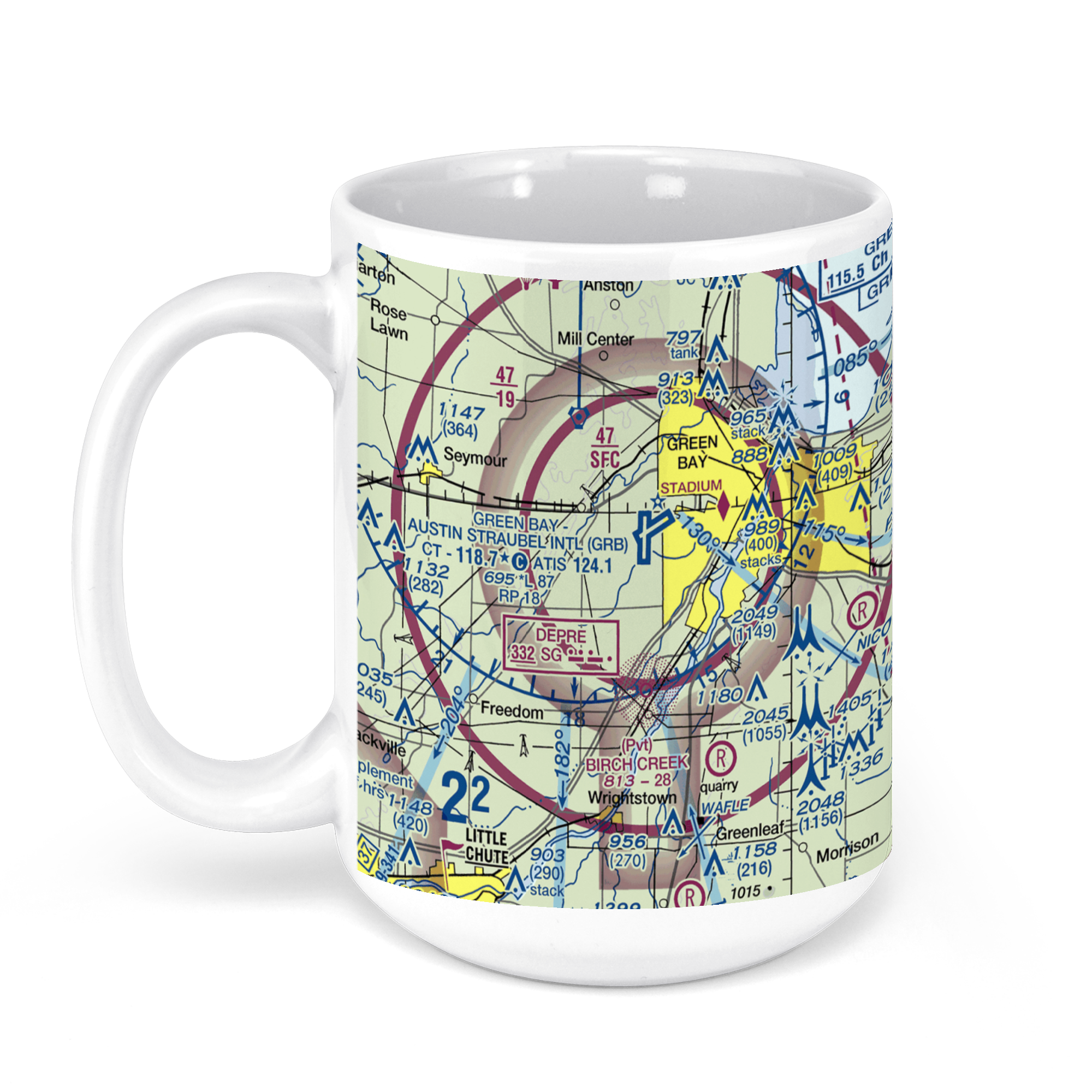
Austin Straubel International Airport (GRB), Airport Drive, Green Bay, WI, USA FAA Sectional Aeronautical Charts Chart Mug
From: $18.95MIX, MATCH & SAVE! UP TO 25% OFFDistance from your search: 1755.4mi -
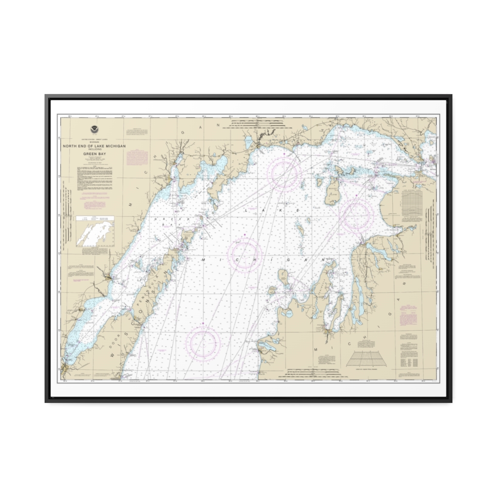
North end of Lake Michigan, including Green Bay Nautical Chart 14902 – Floating Frame Canvas
From: $184.95PREMIUM FLOATING FRAME CANVASDistance from your search: 1756.2mi -
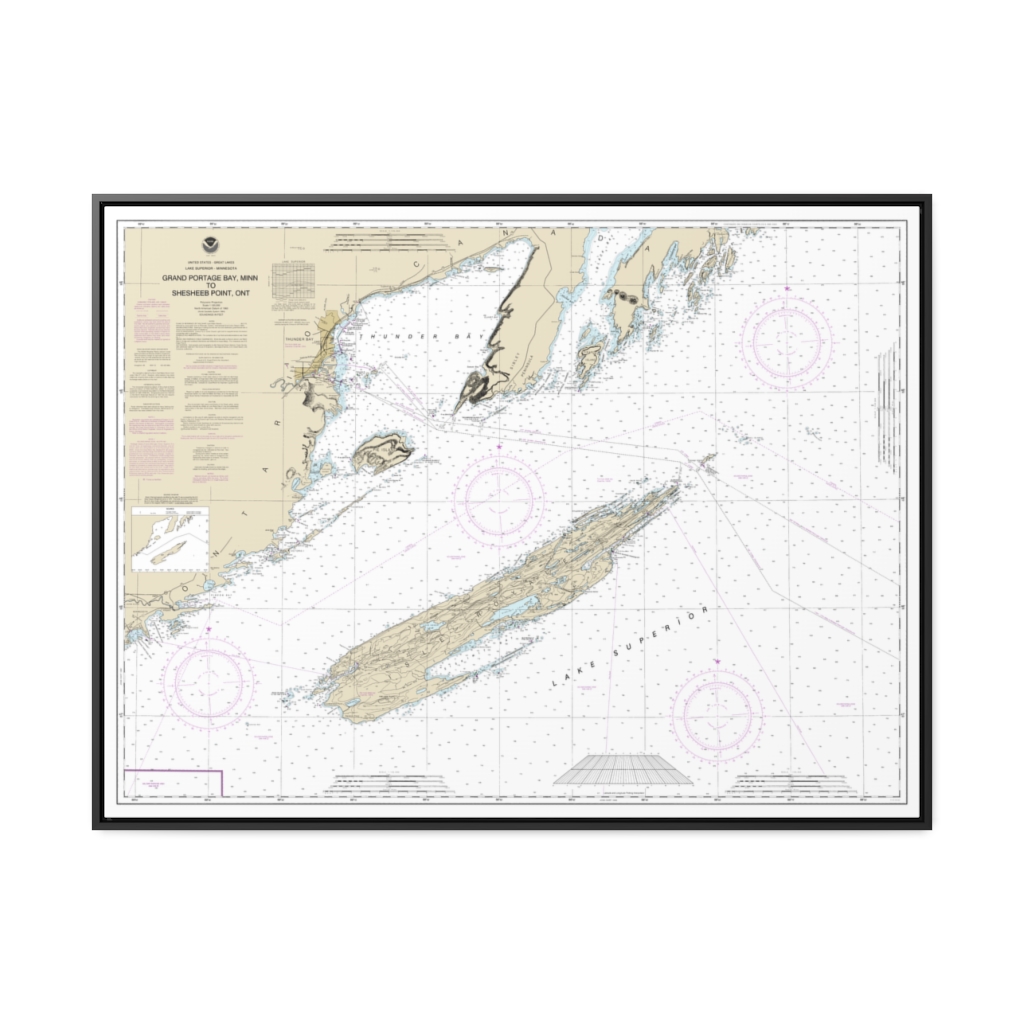
Grand Portage Bay, Minn. to Shesbeeb Point, Ont. Nautical Chart 14968 – Floating Frame Canvas
From: $184.95PREMIUM FLOATING FRAME CANVASDistance from your search: 1756.6mi -
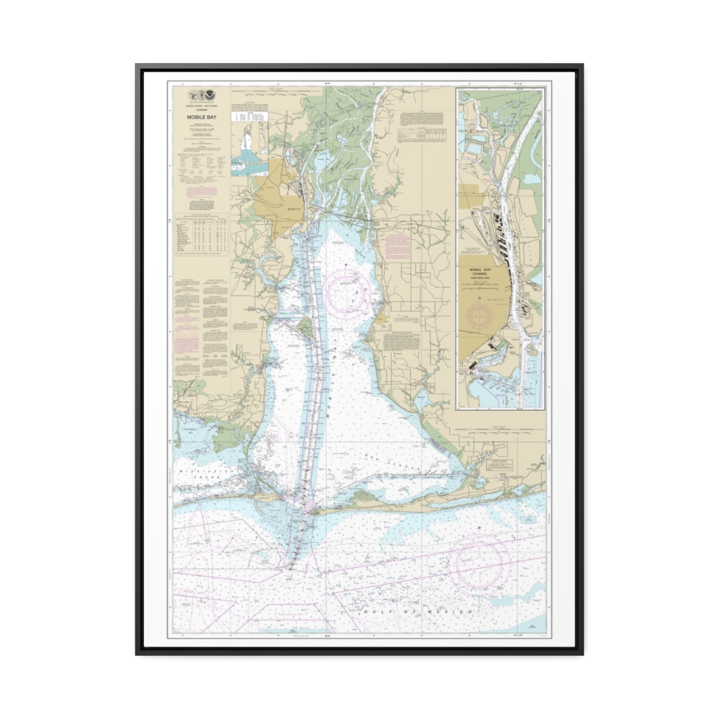
Mobile Bay Mobile Ship Channel-Northern End Nautical Chart 11376 – Floating Frame Canvas
From: $184.95PREMIUM FLOATING FRAME CANVASDistance from your search: 1757.4mi -
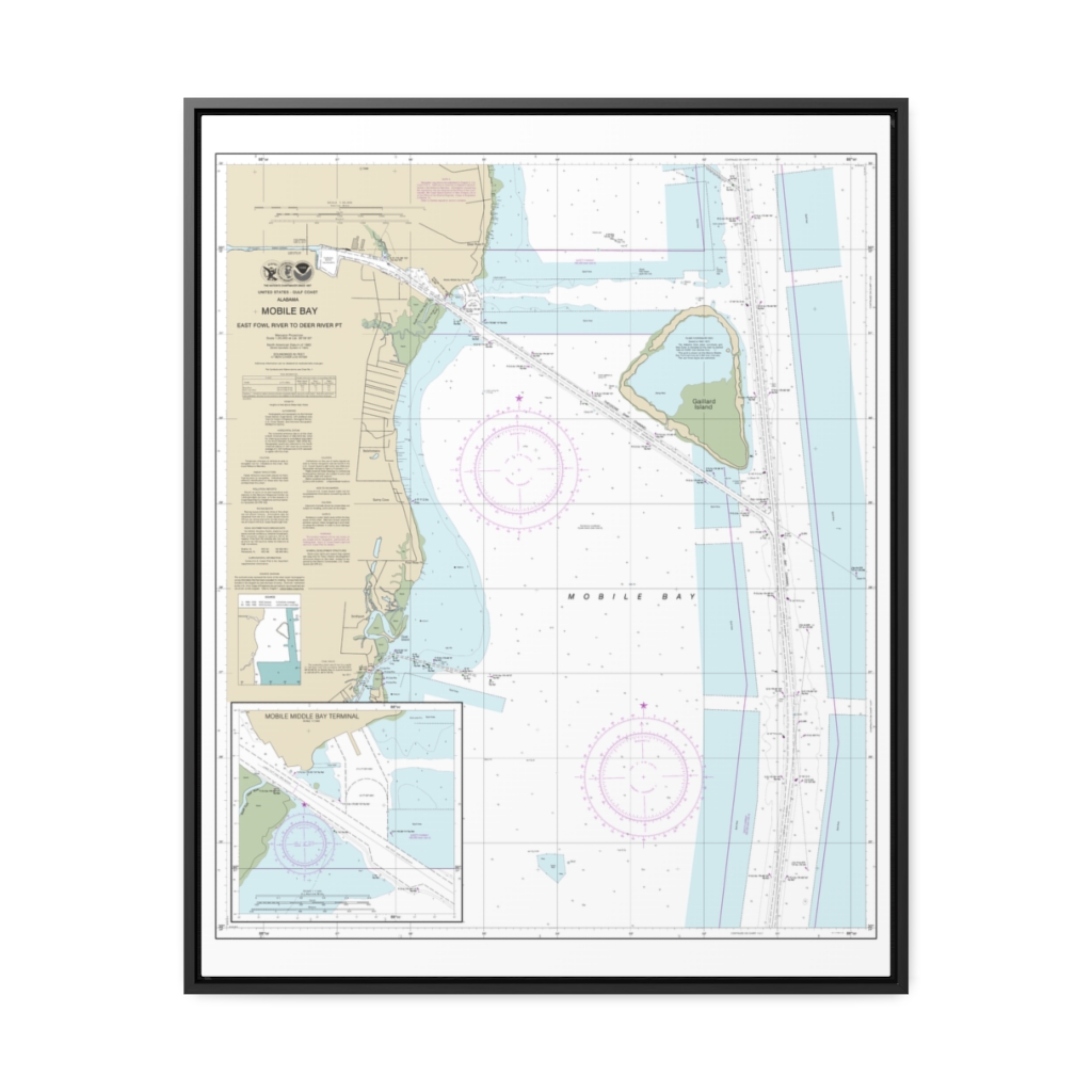
Mobile Bay East Fowl River to Deer River Pt; Mobile Middle Bay Terminal Nautical Chart 11380 – Floating Frame Canvas
From: $184.95PREMIUM FLOATING FRAME CANVASDistance from your search: 1757.9mi -
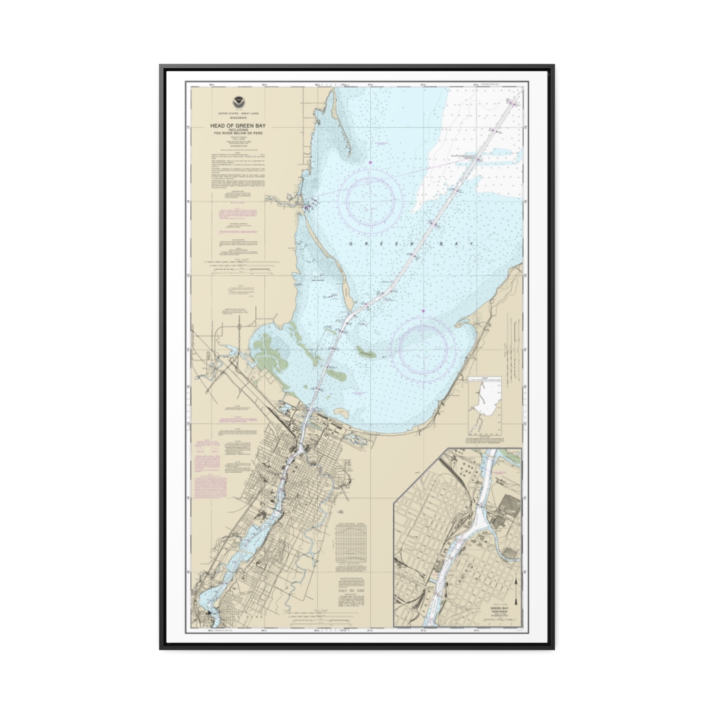
Head of Green Bay, including Fox River below De Pere;Green Bay Nautical Chart 14918 – Floating Frame Canvas
From: $164.95PREMIUM FLOATING FRAME CANVASDistance from your search: 1760.2mi -
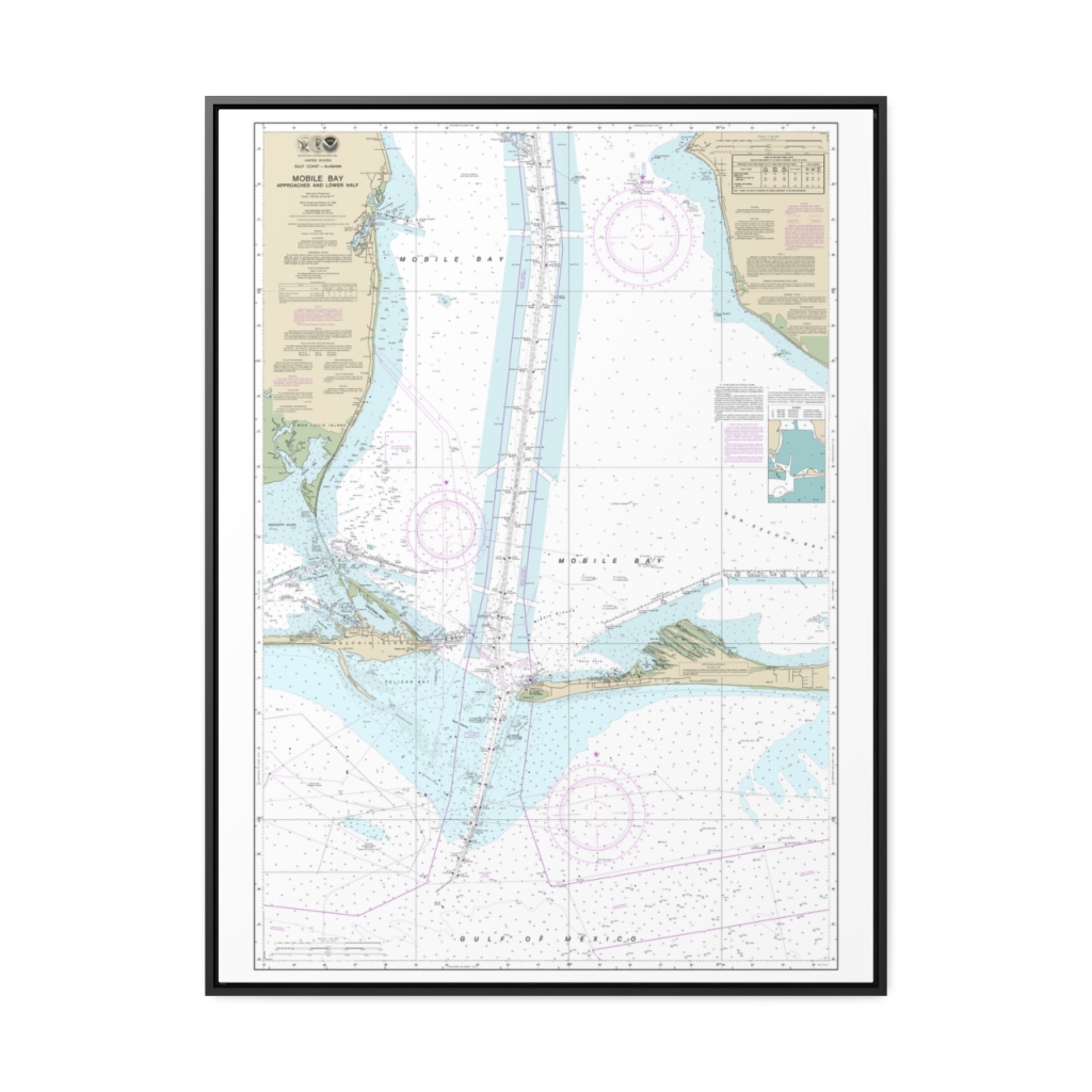
Mobile Bay Approaches and Lower Half Nautical Chart 11377 – Floating Frame Canvas
From: $184.95PREMIUM FLOATING FRAME CANVASDistance from your search: 1761.4mi -
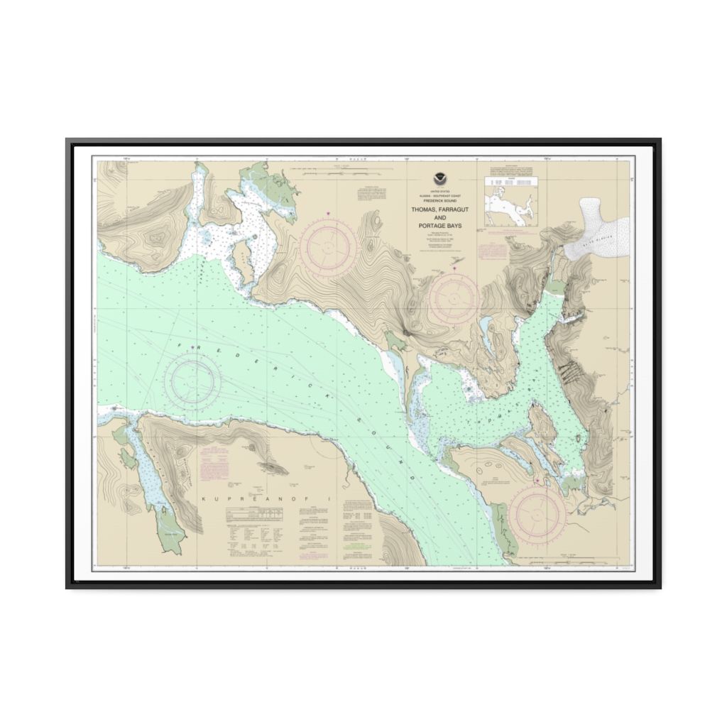
Thomas, Farragut, and Portage Bays, Frederick Sound Nautical Chart 17367 – Floating Frame Canvas
From: $184.95PREMIUM FLOATING FRAME CANVASDistance from your search: 1762.8mi -
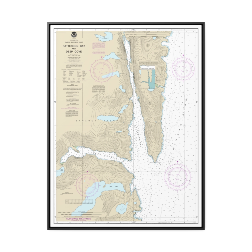
Patterson Bay and Deep Cove Nautical Chart 17335 – Floating Frame Canvas
From: $184.95PREMIUM FLOATING FRAME CANVASDistance from your search: 1766.7mi -
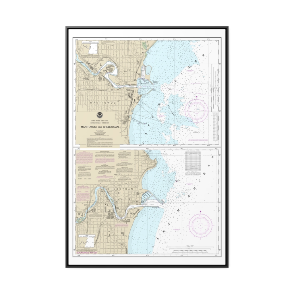
Manitowoc and Sheboygan Nautical Chart 14922 – Floating Frame Canvas
From: $164.95PREMIUM FLOATING FRAME CANVASDistance from your search: 1769.6mi -
Distance from your search: 1769.9mi
-
Distance from your search: 1769.9mi
-
Distance from your search: 1769.9mi
-
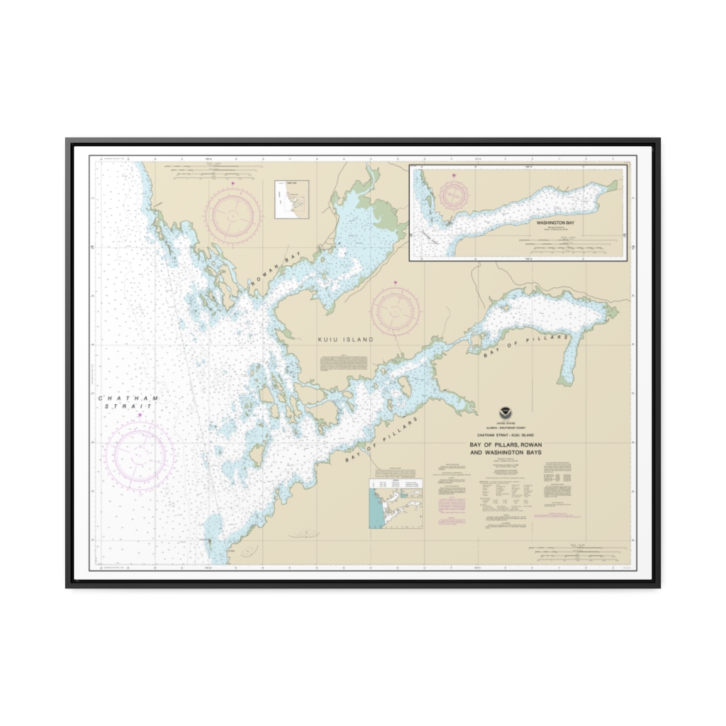
Bay of Pillars and Rowan Bay, Chatham Strait Washington Bay, Chatham Strait Nautical Chart 17370 – Floating Frame Canvas
From: $184.95PREMIUM FLOATING FRAME CANVASDistance from your search: 1771.5mi -
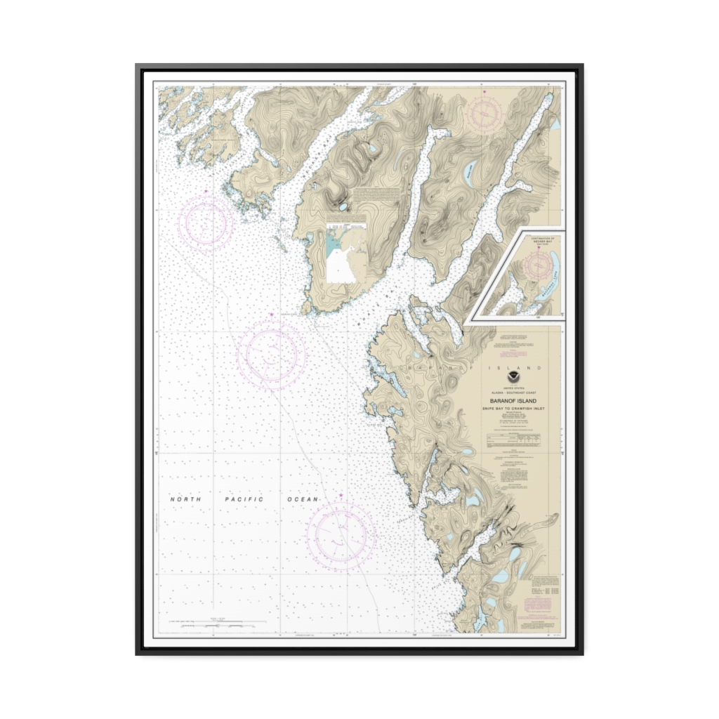
Snipe Bay to Crawfish Inlet,Baranof l. Nautical Chart 17328 – Floating Frame Canvas
From: $184.95PREMIUM FLOATING FRAME CANVASDistance from your search: 1771.7mi -
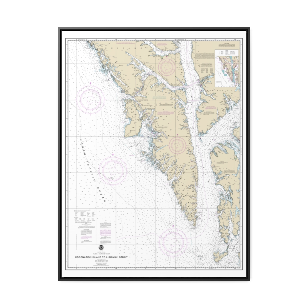
Coronation Island to Lisianski Strait Nautical Chart 17320 – Floating Frame Canvas
From: $184.95PREMIUM FLOATING FRAME CANVASDistance from your search: 1772.9mi -
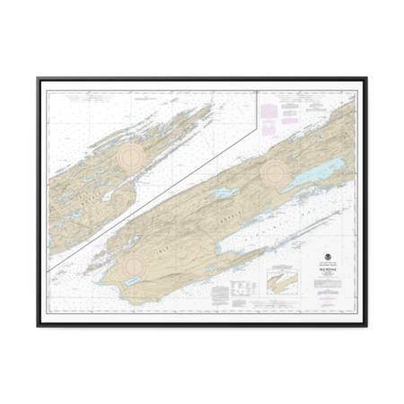
Isle Royale Nautical Chart 14976 – Floating Frame Canvas
From: $184.95PREMIUM FLOATING FRAME CANVASDistance from your search: 1775.2mi -
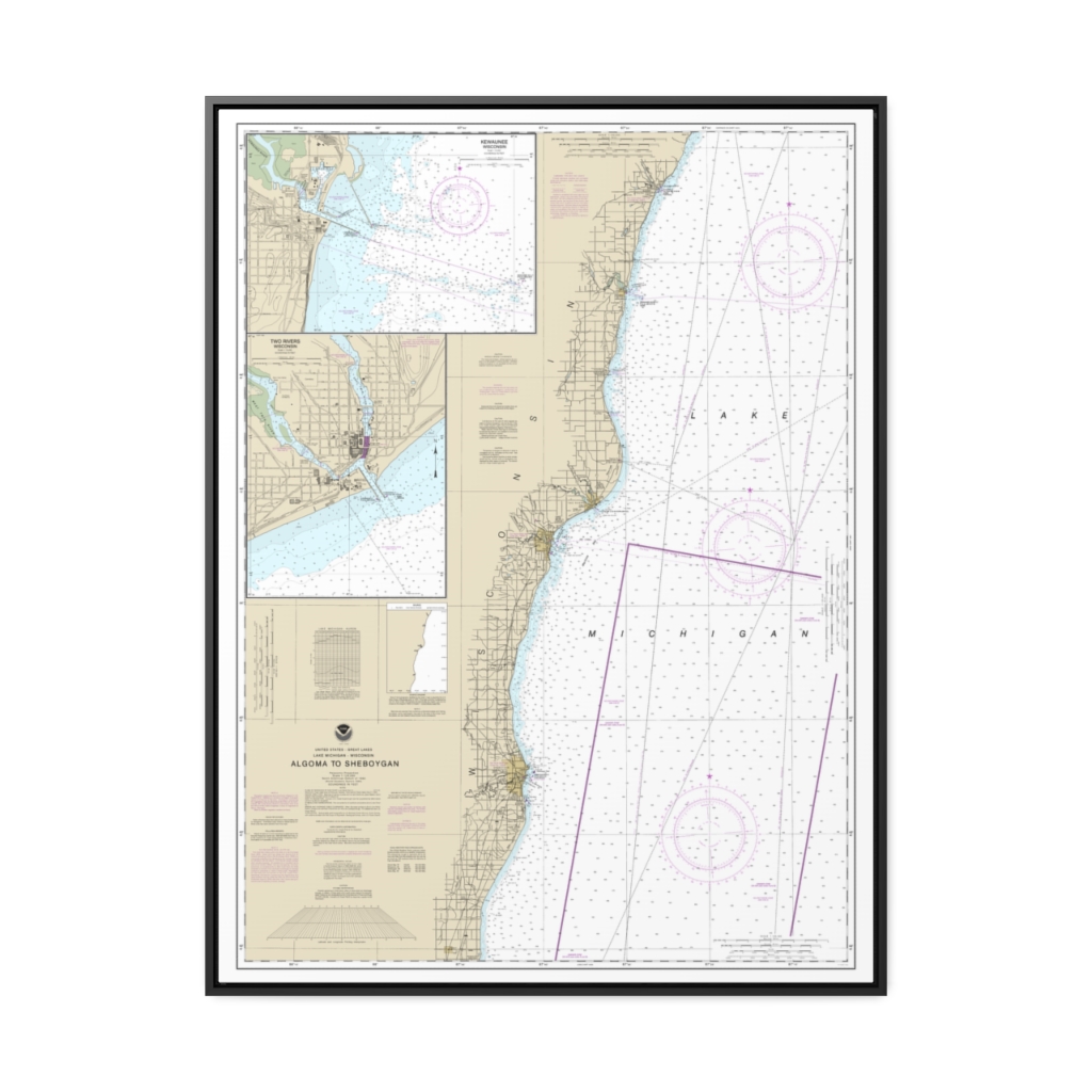
Algoma to Sheboygan Kewaunee Two Rivers Nautical Chart 14903 – Floating Frame Canvas
From: $184.95PREMIUM FLOATING FRAME CANVASDistance from your search: 1775.3mi -
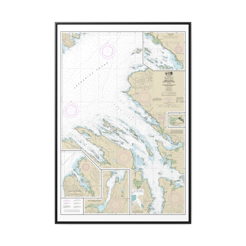
Keku Strait-northern part, including Saginaw and Security Bays and Port Camden;Kake Inset Nautical Chart 17368 – Floating Frame Canvas
From: $164.95PREMIUM FLOATING FRAME CANVASDistance from your search: 1775.8mi -
 11oz From $14.21 15oz From $16.46
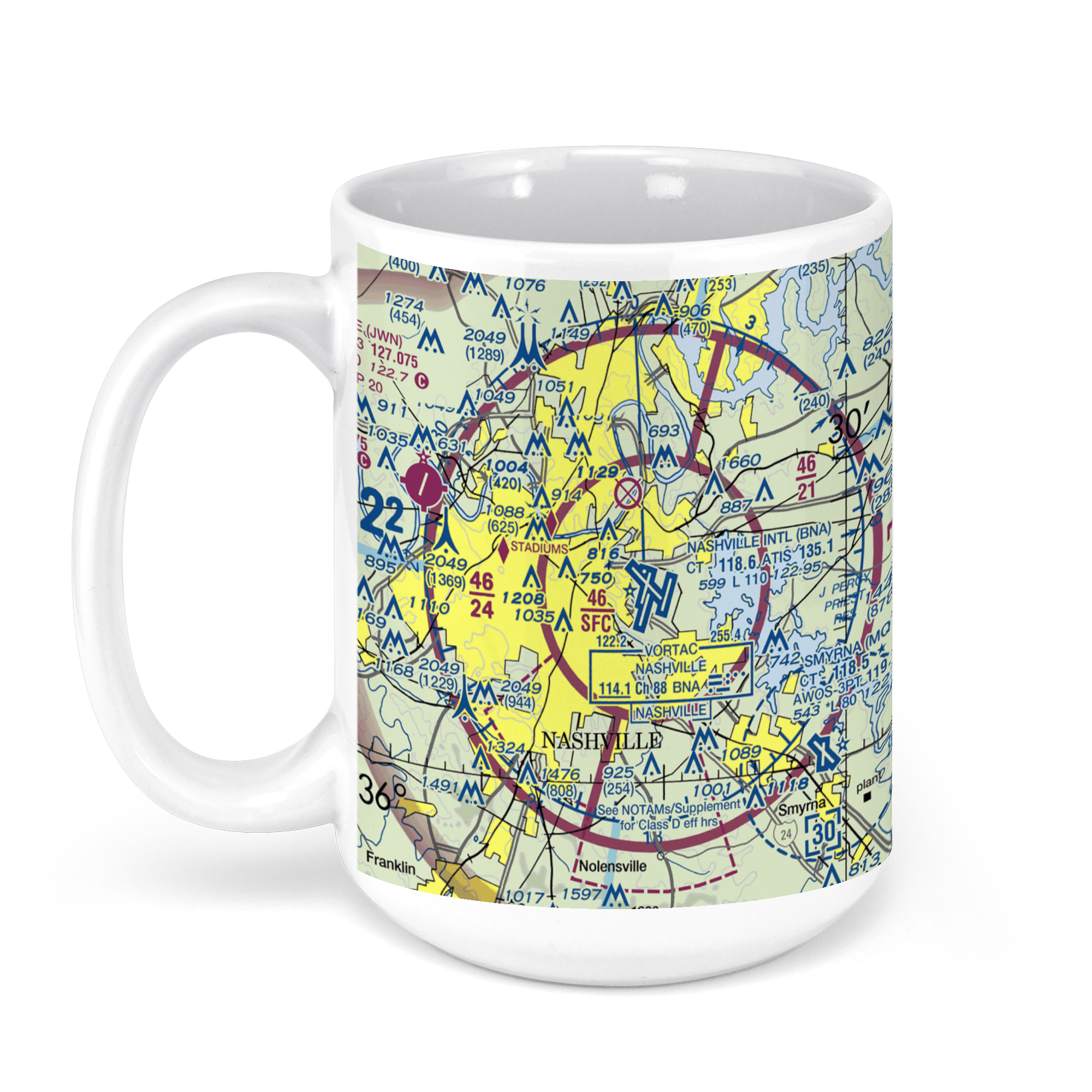
Nashville International Airport, Nashville, TN, USA FAA Sectional Aeronautical Charts Chart Mug
From: $18.95MIX, MATCH & SAVE! UP TO 25% OFFDistance from your search: 1776.1mi -
 11oz From $14.21 15oz From $16.46
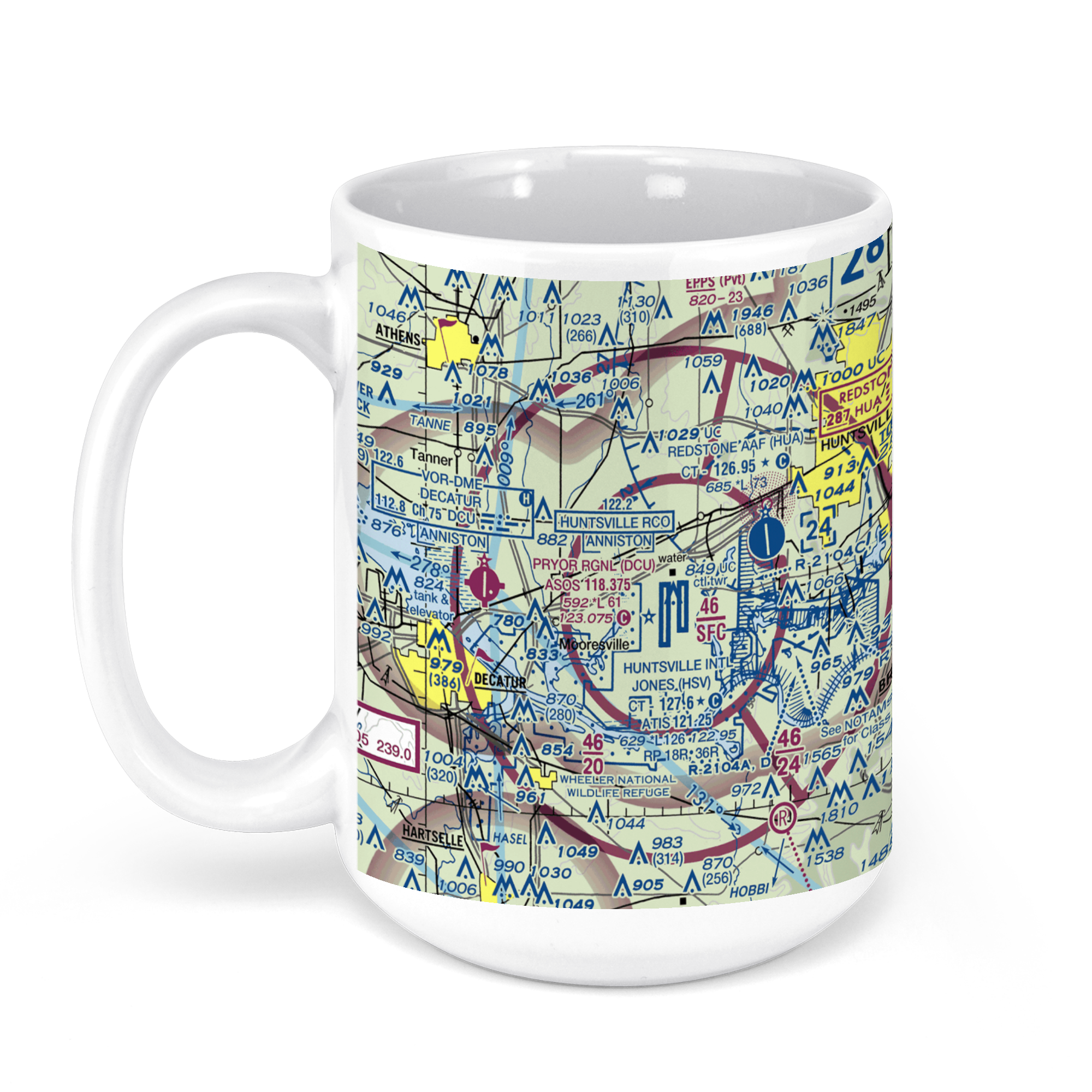
Huntsville International Airport (HSV), Glenn Hearn Boulevard Southwest, Huntsville, AL, USA FAA Sectional Aeronautical Charts Chart Mug
From: $18.95MIX, MATCH & SAVE! UP TO 25% OFFDistance from your search: 1779.6mi -
 11oz From $14.21 15oz From $16.46
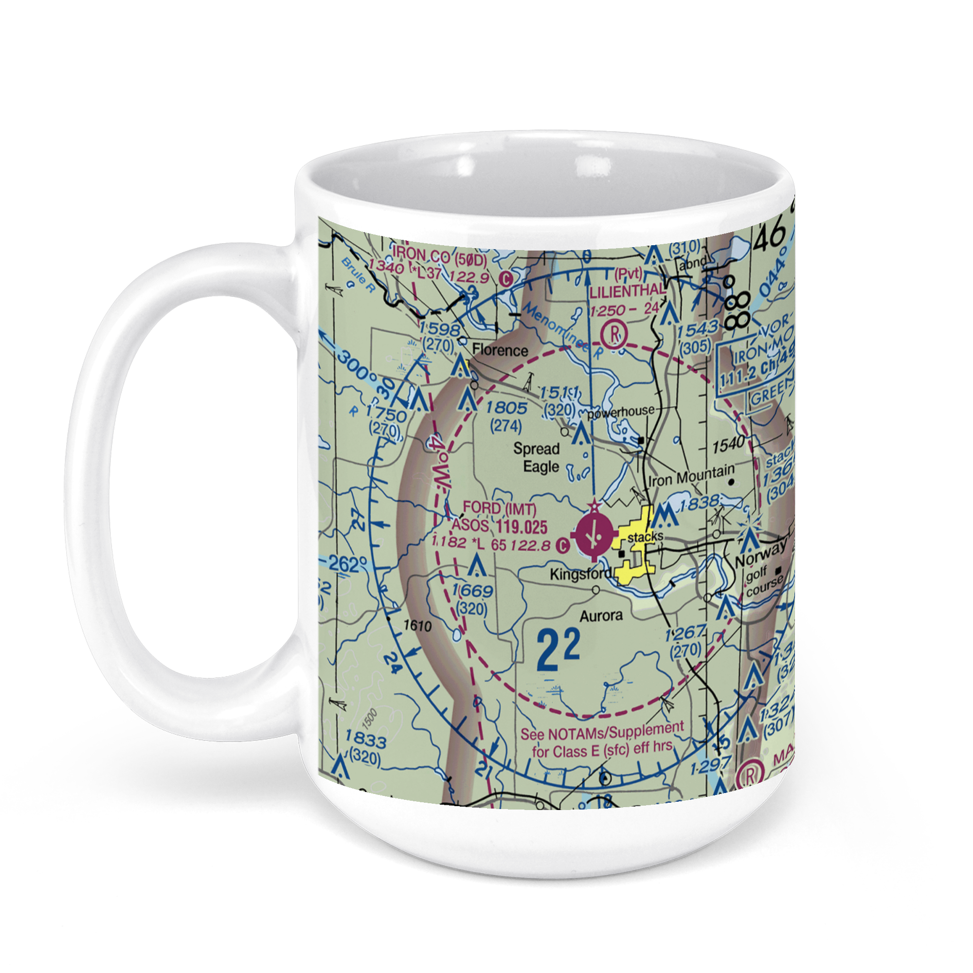
Ford Airport-Imt, Airport Road, Kingsford, MI, USA FAA Sectional Aeronautical Charts Chart Mug
From: $18.95MIX, MATCH & SAVE! UP TO 25% OFFDistance from your search: 1781.4mi