- Display 24 Products per page
-
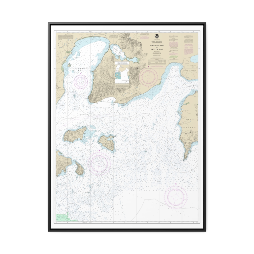
Unga Island to Pavlof Bay, Alaska Pen. Nautical Chart 16551 – Floating Frame Canvas
From: $184.95PREMIUM FLOATING FRAME CANVASDistance from your search: 1861.5mi -
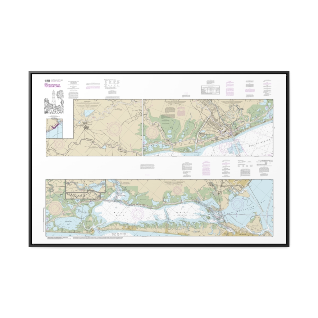
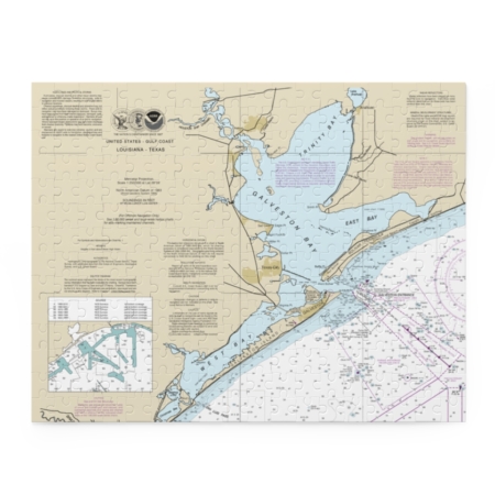
Intracoastal Waterway Galveston Bay to Cedar Lakes Nautical Chart 11322 – Floating Frame Canvas
From: $164.95PREMIUM FLOATING FRAME CANVASDistance from your search: 1862mi -
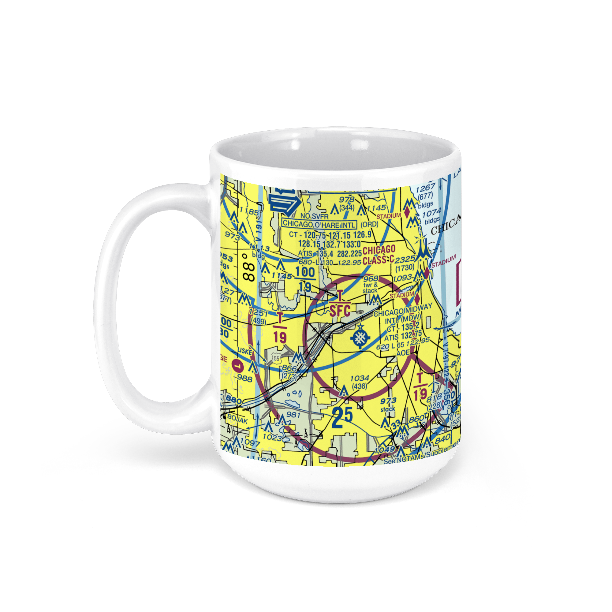 11oz From $14.21 15oz From $16.46
Chicago Midway International Airport (MDW), South Cicero Avenue, Chicago, IL, USA FAA Sectional Aeronautical Charts Chart Mug
From: $18.95MIX, MATCH & SAVE! UP TO 25% OFFDistance from your search: 1865.2mi -
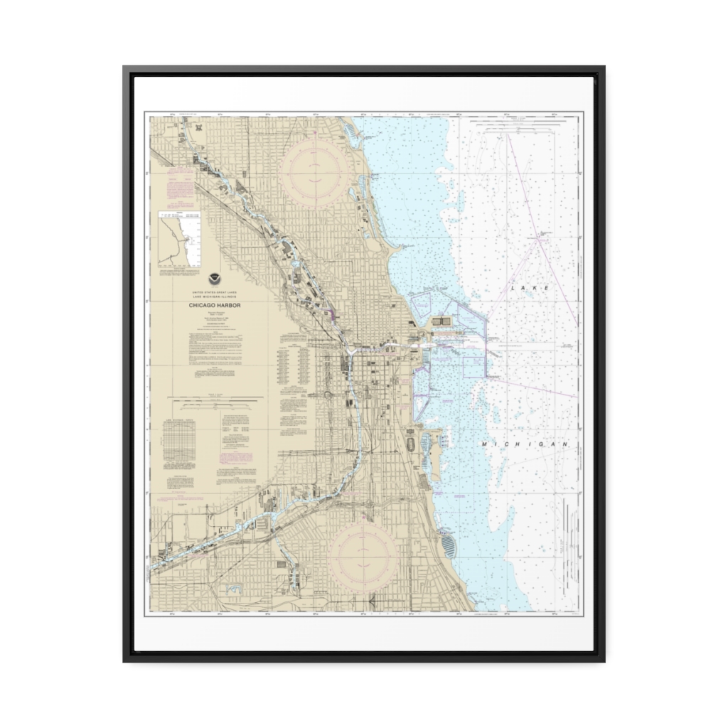
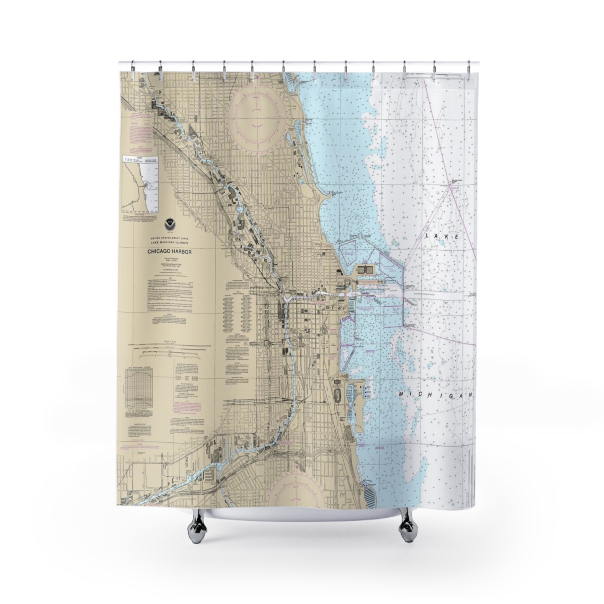
Chicago Harbor Nautical Chart 14928 – Floating Frame Canvas
From: $184.95PREMIUM FLOATING FRAME CANVASDistance from your search: 1866.8mi -
Distance from your search: 1866.9mi
-
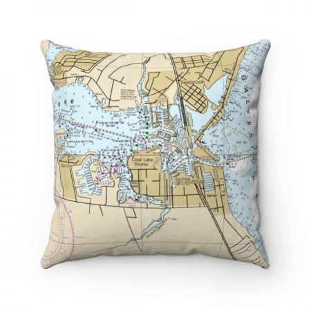
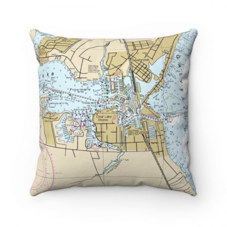
Seabrook, Kemah Texas with Galveston Bay Reverse Side Nautical Chart Premium Faux Suede Square Pillow
From: $44.95PREMIUM FAUX SUEDEDistance from your search: 1866.9mi -
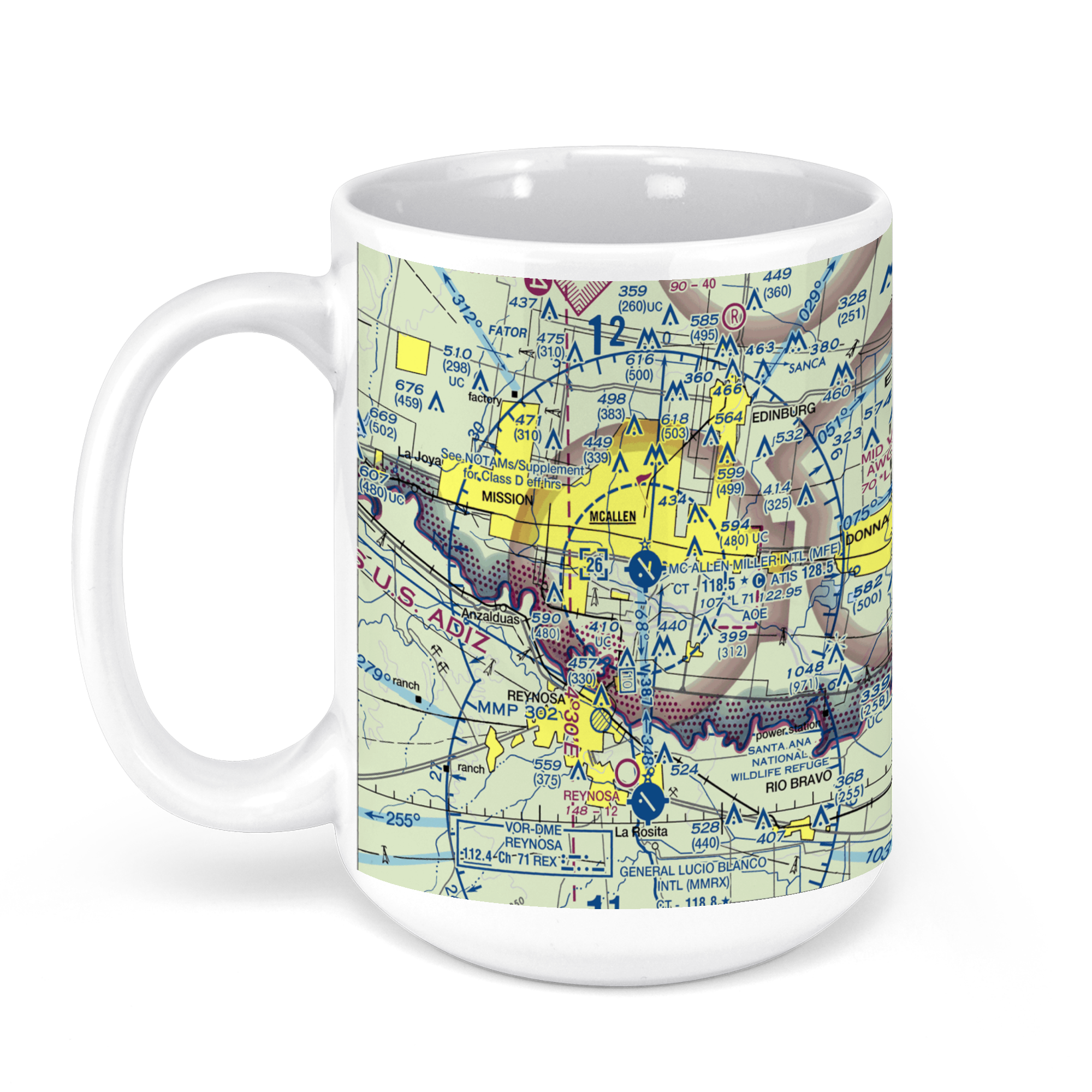 11oz From $14.21 15oz From $16.46
McAllen-Miller International Airport, S Bicentennial Blvd, McAllen, TX, USA FAA Sectional Aeronautical Charts Chart Mug
From: $18.95MIX, MATCH & SAVE! UP TO 25% OFFDistance from your search: 1870.2mi -
Distance from your search: 1870.3mi
-
Distance from your search: 1871.3mi
-
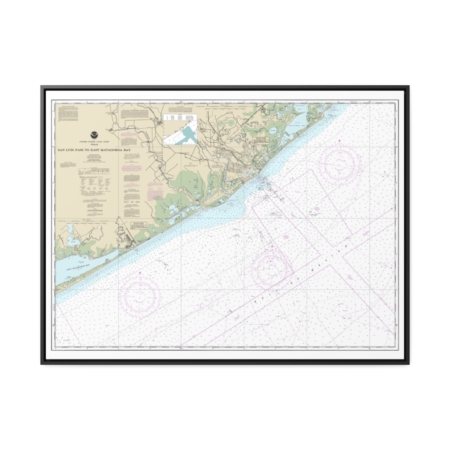
San Luis Pass to East Matagorda Bay Nautical Chart 11321 – Floating Frame Canvas
From: $184.95PREMIUM FLOATING FRAME CANVASDistance from your search: 1871.6mi -
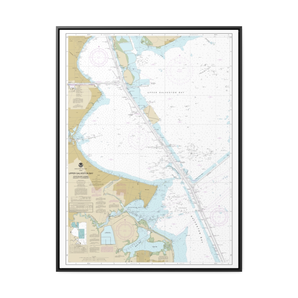
Upper Galveston Bay-Houston Ship Channel-Dollar Pt. to Atkinson Nautical Chart 11327 – Floating Frame Canvas
From: $184.95PREMIUM FLOATING FRAME CANVASDistance from your search: 1872.1mi -
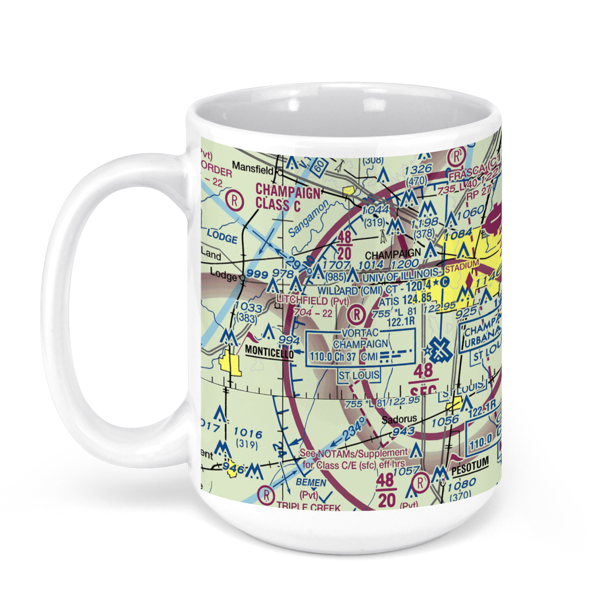 11oz From $14.21 15oz From $16.46
Willard Airport CMI, Airport Road, Savoy, IL, USA FAA Sectional Aeronautical Charts Chart Mug
From: $18.95MIX, MATCH & SAVE! UP TO 25% OFFDistance from your search: 1873.1mi -
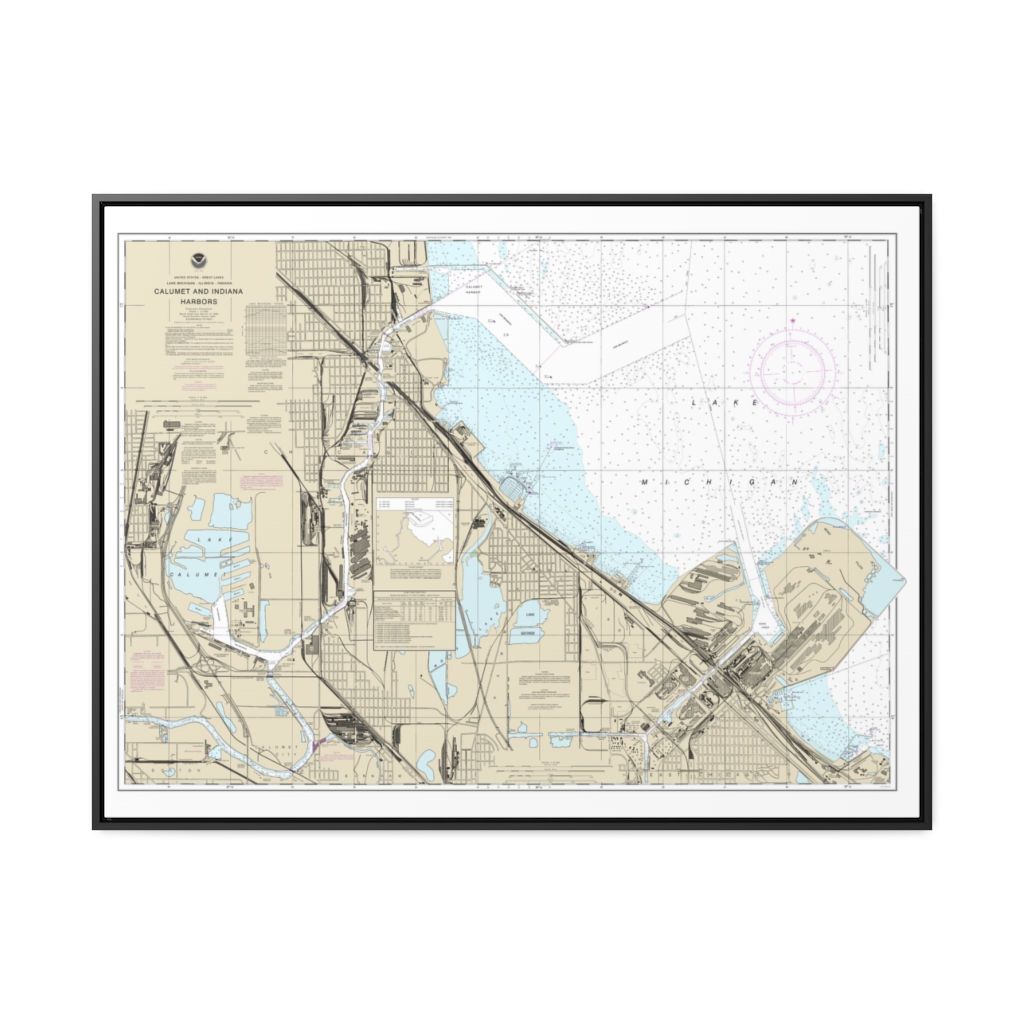
Calumet, Indiana and Buffington Harbors, and Lake Calumet Nautical Chart 14929 – Floating Frame Canvas
From: $184.95PREMIUM FLOATING FRAME CANVASDistance from your search: 1874.8mi -
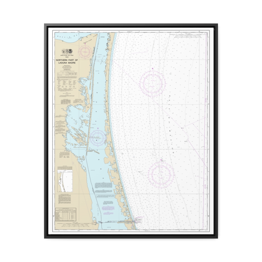
Northern part of Laguna Madre Nautical Chart 11304 – Floating Frame Canvas
From: $184.95PREMIUM FLOATING FRAME CANVASDistance from your search: 1881.7mi -
Distance from your search: 1881.9mi
-
Distance from your search: 1881.9mi
-
Distance from your search: 1881.9mi
-
Distance from your search: 1881.9mi
-
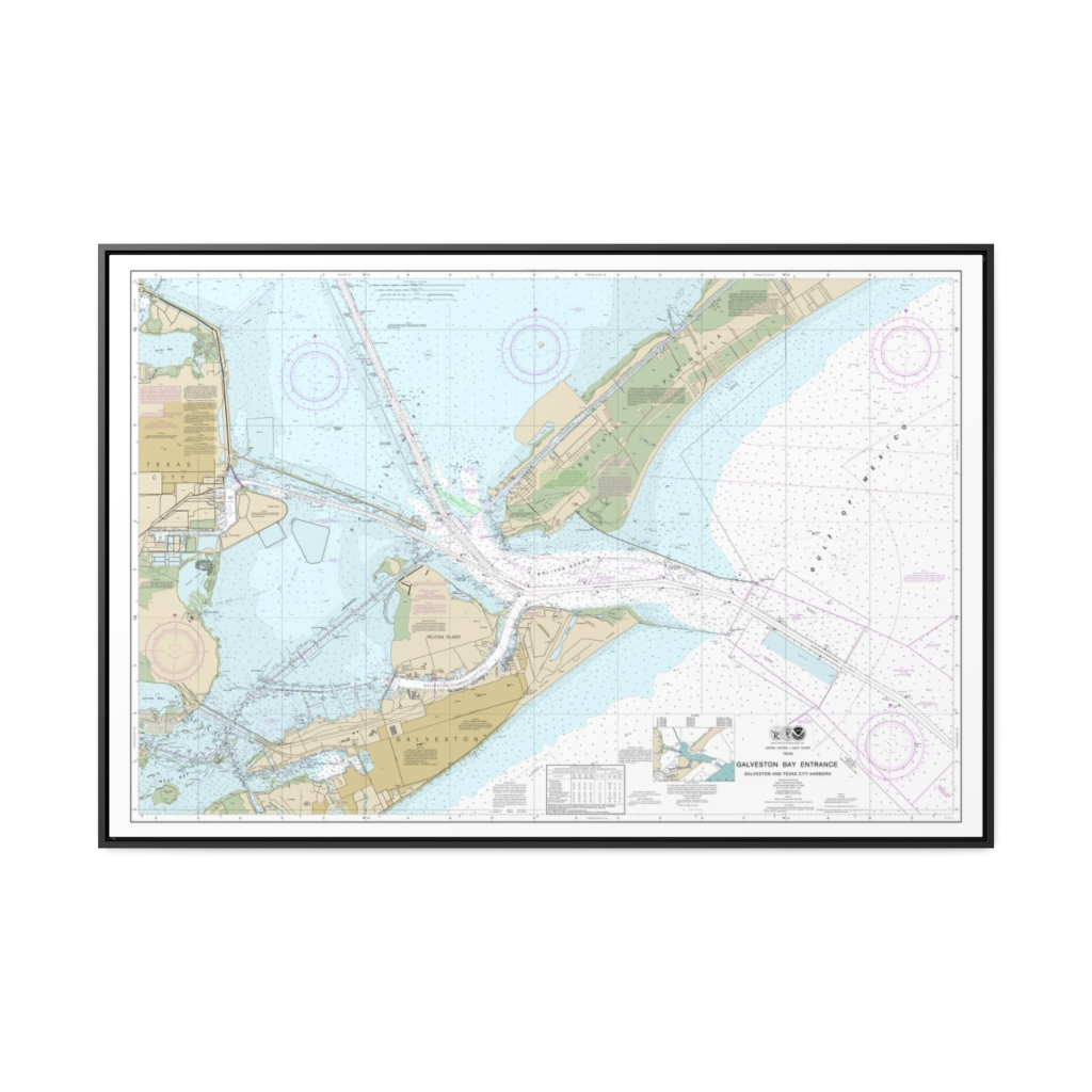
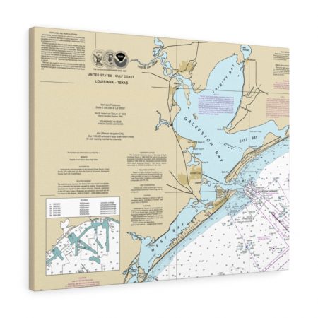
Galveston Bay Entrance Galveston and Texas City Harbors Nautical Chart 11324 – Floating Frame Canvas
From: $164.95PREMIUM FLOATING FRAME CANVASDistance from your search: 1883.2mi -
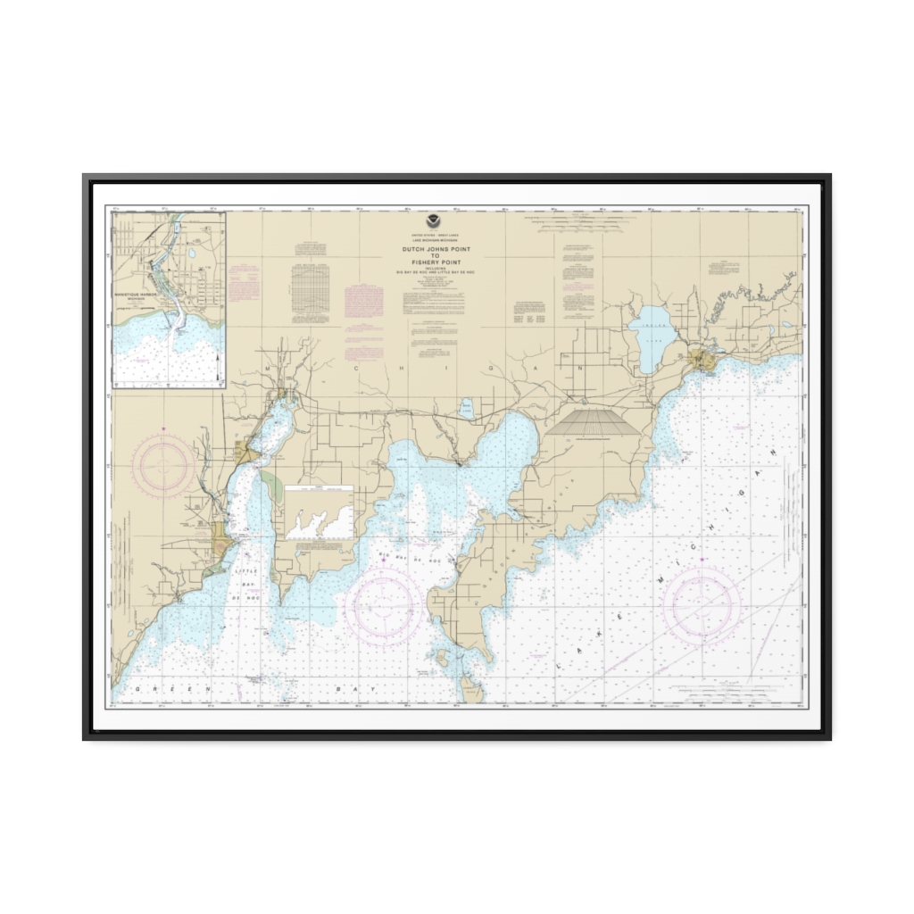
Dutch Johns Point to Fishery Point, including Big Bay de Noc and Little Bay de Noc Manistique Nautical Chart 14908 – Floating Frame Canvas
From: $184.95PREMIUM FLOATING FRAME CANVASDistance from your search: 1883.8mi -
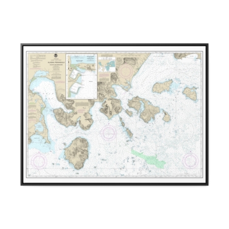
Cold Bay and approaches, Alaska Pen. King Cove Harbor Nautical Chart 16549 – Floating Frame Canvas
From: $184.95PREMIUM FLOATING FRAME CANVASDistance from your search: 1886.5mi -
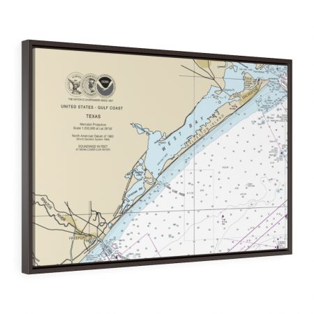
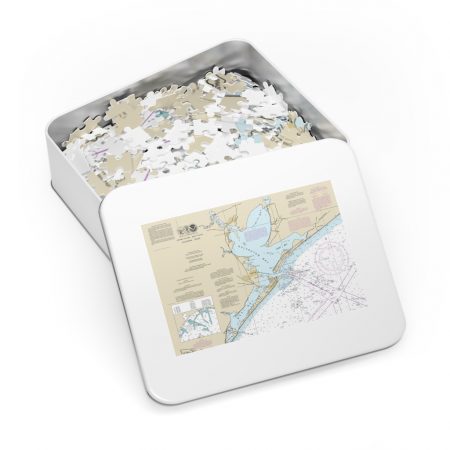
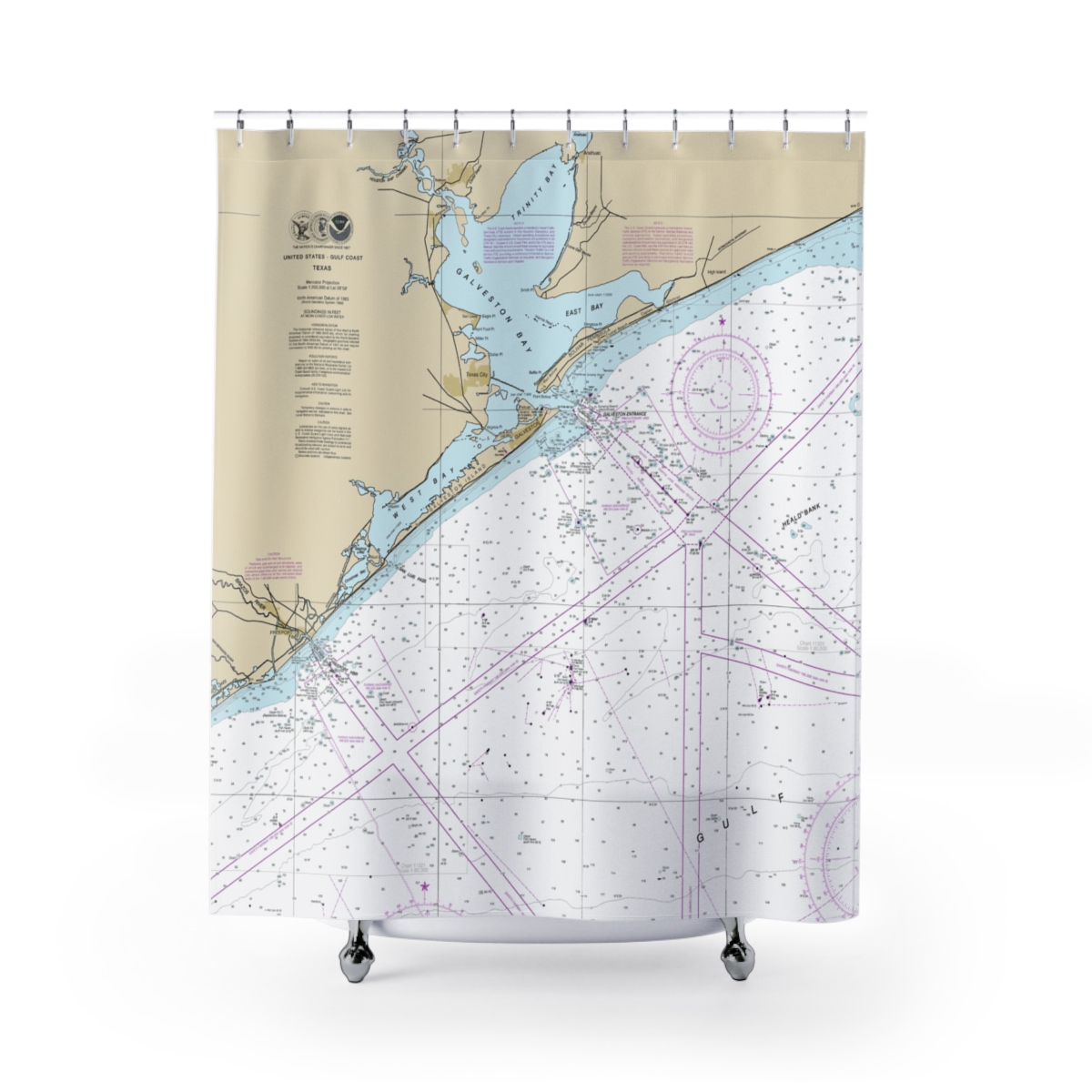
Freeport & Galveston Floating Frame Canvas Nautical Chart 11330
From: $124.95PREMIUM FLOATING FRAME CANVASDistance from your search: 1887.7mi -
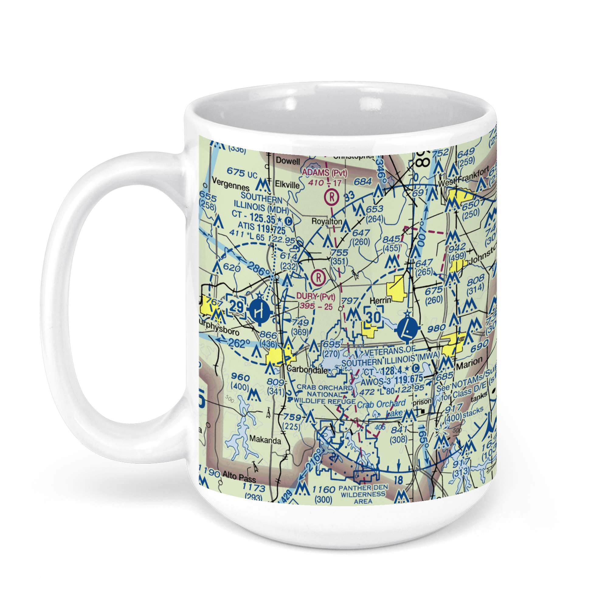 11oz From $14.21 15oz From $16.46
Williamson County Regional Airport, Terminal Drive, Marion, IL, USA FAA Sectional Aeronautical Charts Chart Mug
From: $18.95MIX, MATCH & SAVE! UP TO 25% OFFDistance from your search: 1888.8mi -
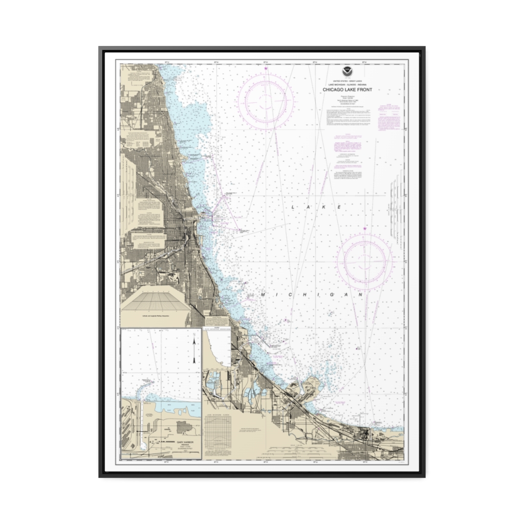
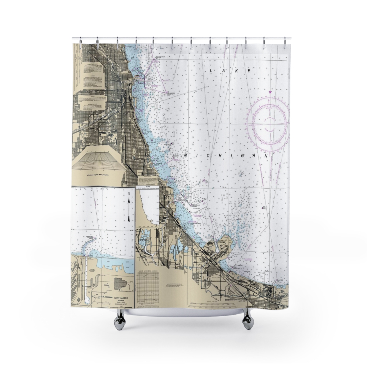
Chicago Lake Front Gary Harbor Nautical Chart 14927 – Floating Frame Canvas
From: $184.95PREMIUM FLOATING FRAME CANVASDistance from your search: 1889.2mi

