- Display 24 Products per page
-
 11oz From $14.21 15oz From $16.46
Matagorda Bay, Texas, USA NOAA Nautical Charts Chart Mug
From: $18.95MIX, MATCH & SAVE! UP TO 25% OFFDistance from your search: 1858.7mi -
Distance from your search: 1858.7mi
-
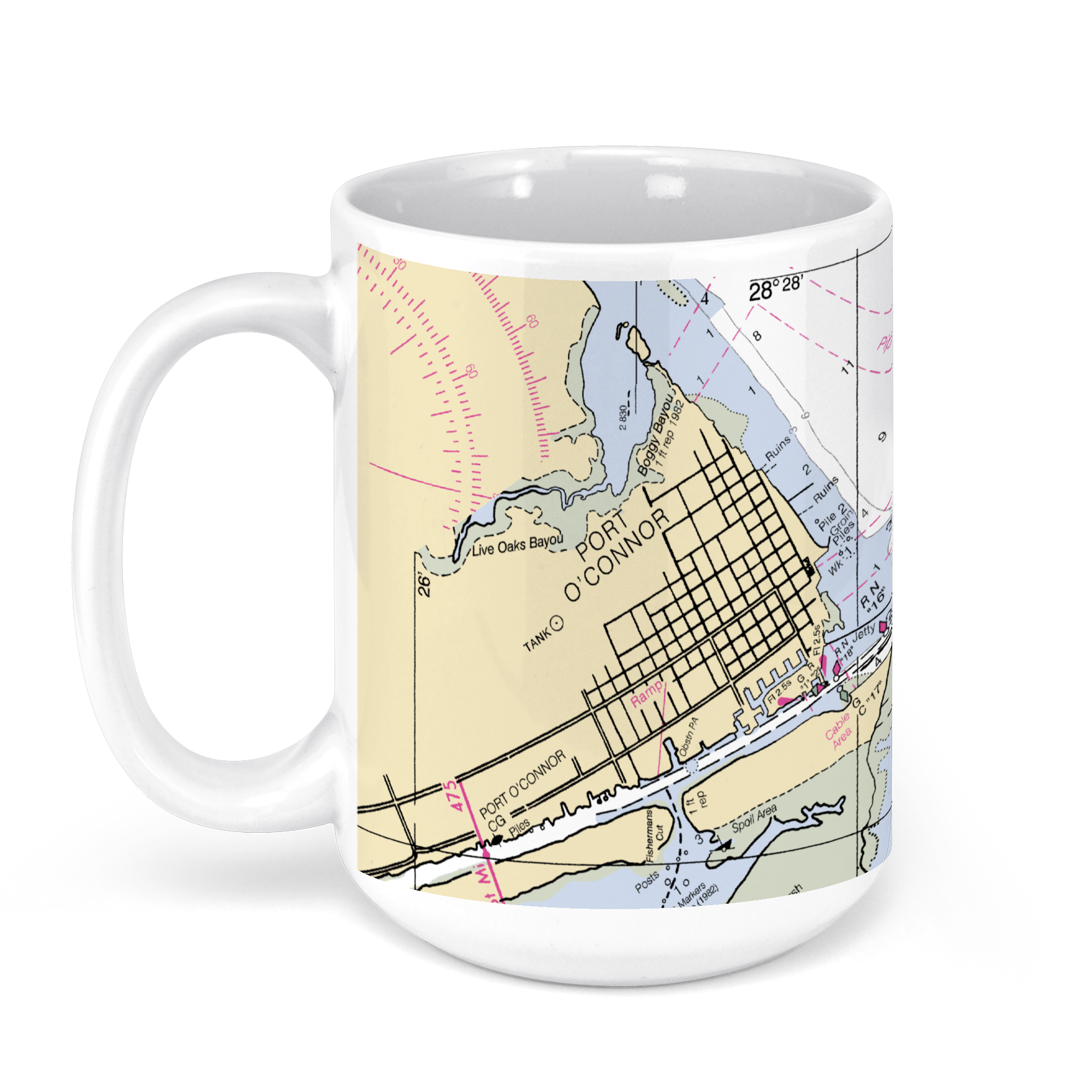 11oz From $14.21 15oz From $16.46
Port O’Connor, TX, USA NOAA Nautical Charts Chart Mug
From: $18.95MIX, MATCH & SAVE! UP TO 25% OFFDistance from your search: 1858.7mi -
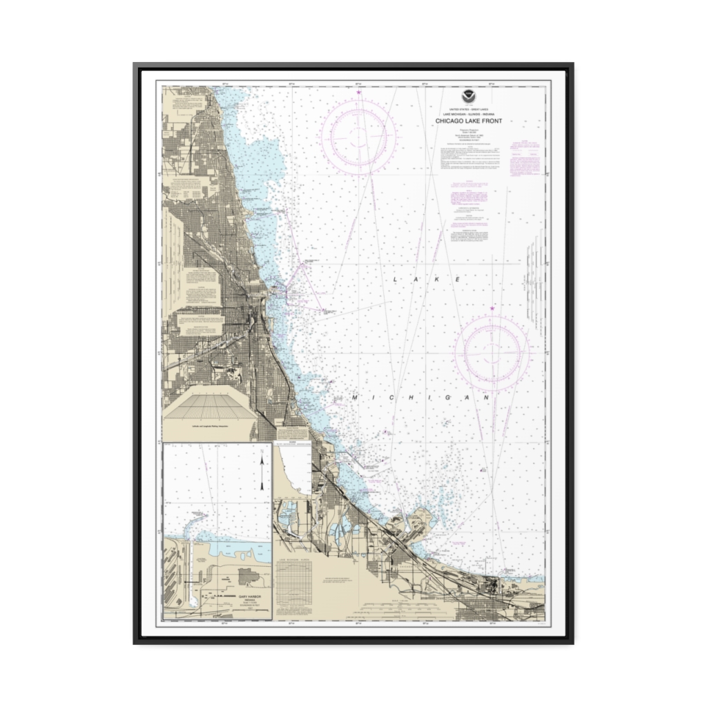
Chicago Lake Front Gary Harbor Nautical Chart 14927 – Floating Frame Canvas
From: $184.95PREMIUM FLOATING FRAME CANVASDistance from your search: 1858.9mi -
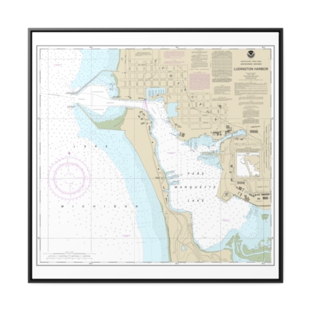
Ludington Harbor Nautical Chart 14937 – Floating Frame Canvas
From: $139.95PREMIUM FLOATING FRAME CANVASDistance from your search: 1859.5mi -
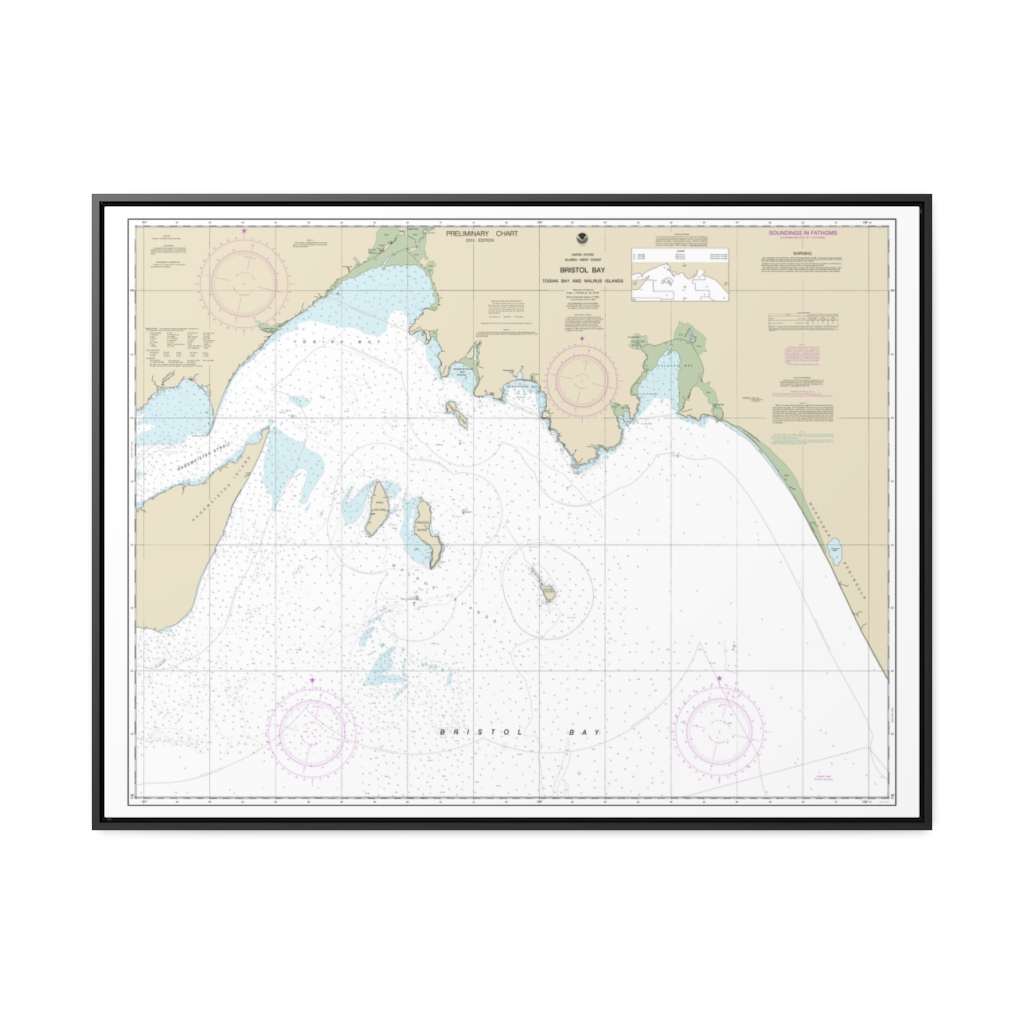
Bristol Bay-Togiak Bay and Walrus Islands Nautical Chart 16315 – Floating Frame Canvas
From: $184.95PREMIUM FLOATING FRAME CANVASDistance from your search: 1859.8mi -
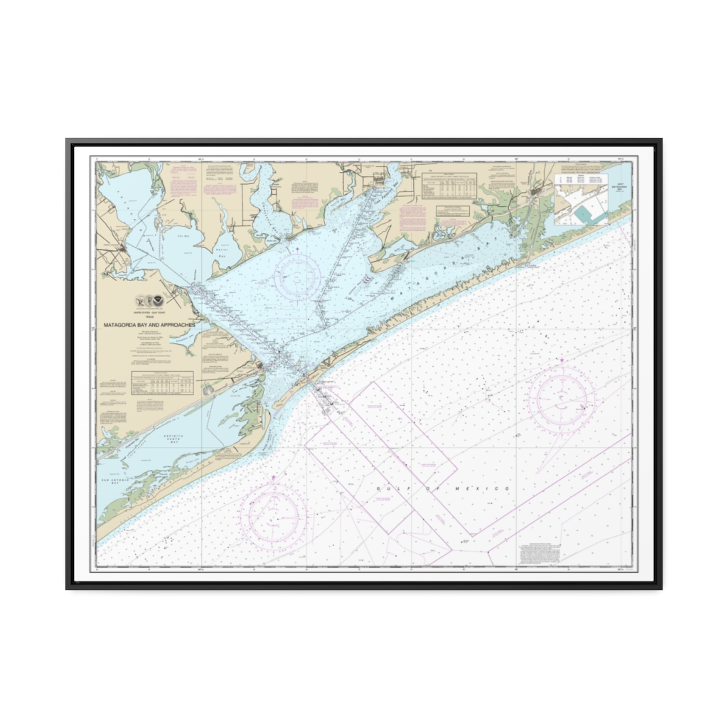
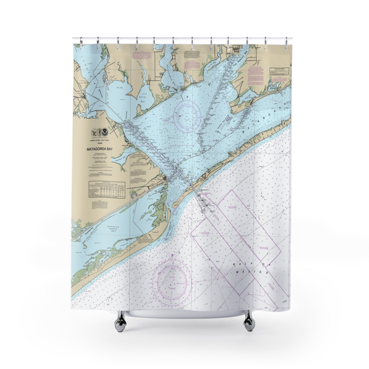
Matagorda Bay and approaches Nautical Chart 11316 – Floating Frame Canvas
From: $184.95PREMIUM FLOATING FRAME CANVASDistance from your search: 1860mi -
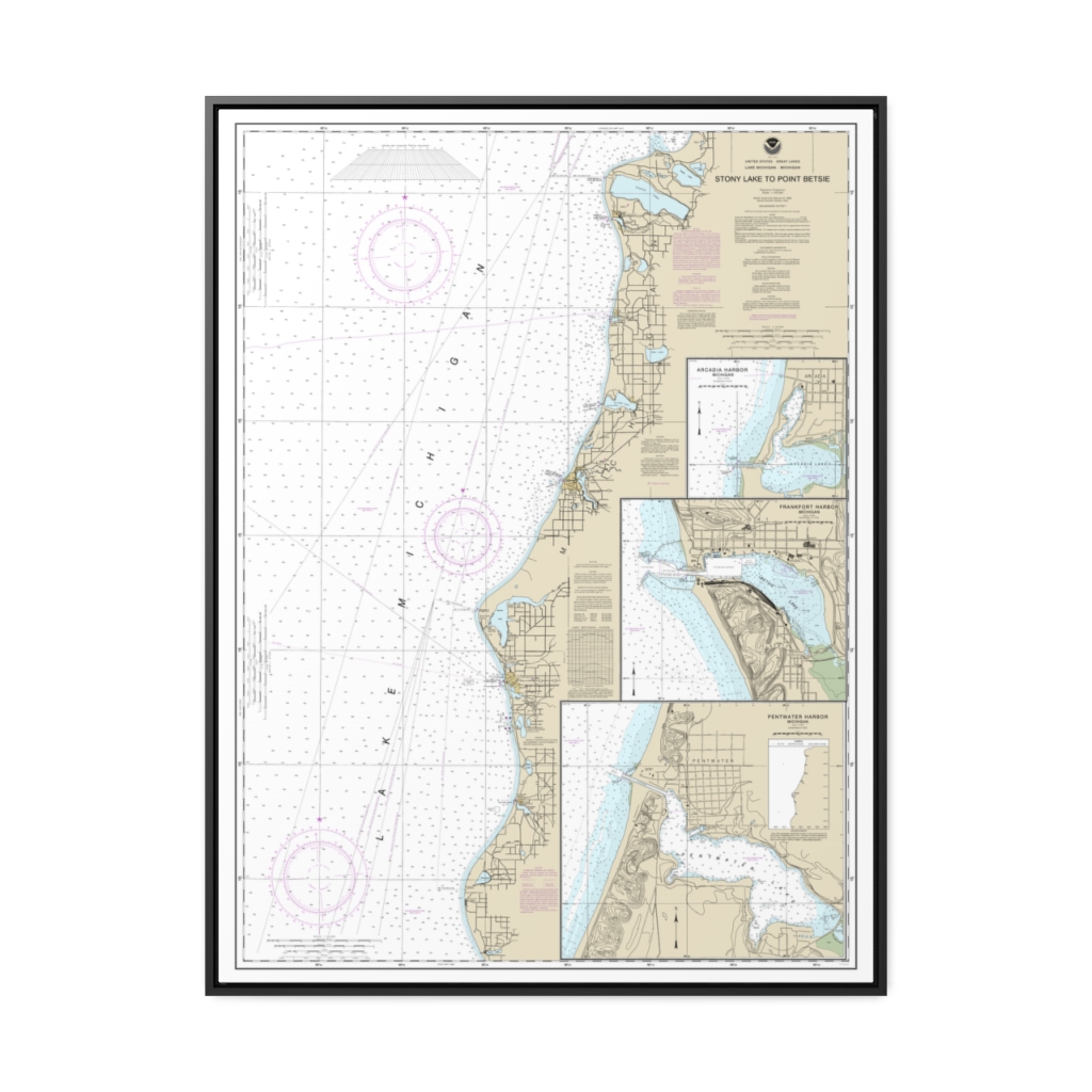
Stony Lake to Point Betsie Pentwater Arcadia Frankfort Nautical Chart 14907 – Floating Frame Canvas
From: $184.95PREMIUM FLOATING FRAME CANVASDistance from your search: 1860.1mi -
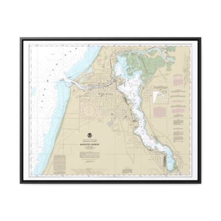
Manistee Harbor and Manistee Lake Nautical Chart 14938 – Floating Frame Canvas
From: $184.95PREMIUM FLOATING FRAME CANVASDistance from your search: 1860.4mi -
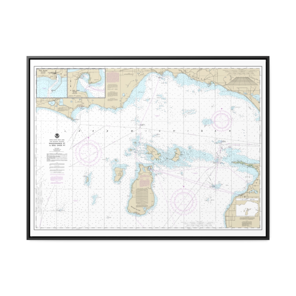
Waugoshance Point to Seul Choix Point, including Beaver Island Group Port Inland Beaver Harbor Nautical Chart 14911 – Floating Frame Canvas
From: $184.95PREMIUM FLOATING FRAME CANVASDistance from your search: 1861mi -
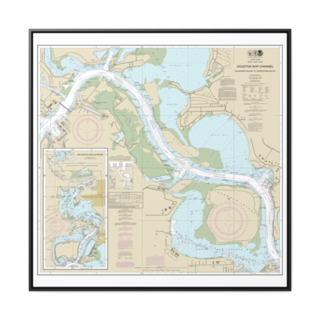
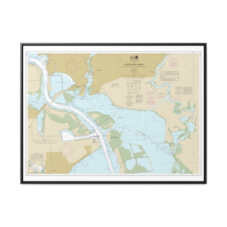
Houston Ship Channel Alexander Island to Carpenters Bayou San Jacinto and Old Rivers Nautical Chart 11329 – Floating Frame Canvas
From: $139.95PREMIUM FLOATING FRAME CANVASDistance from your search: 1861.9mi -
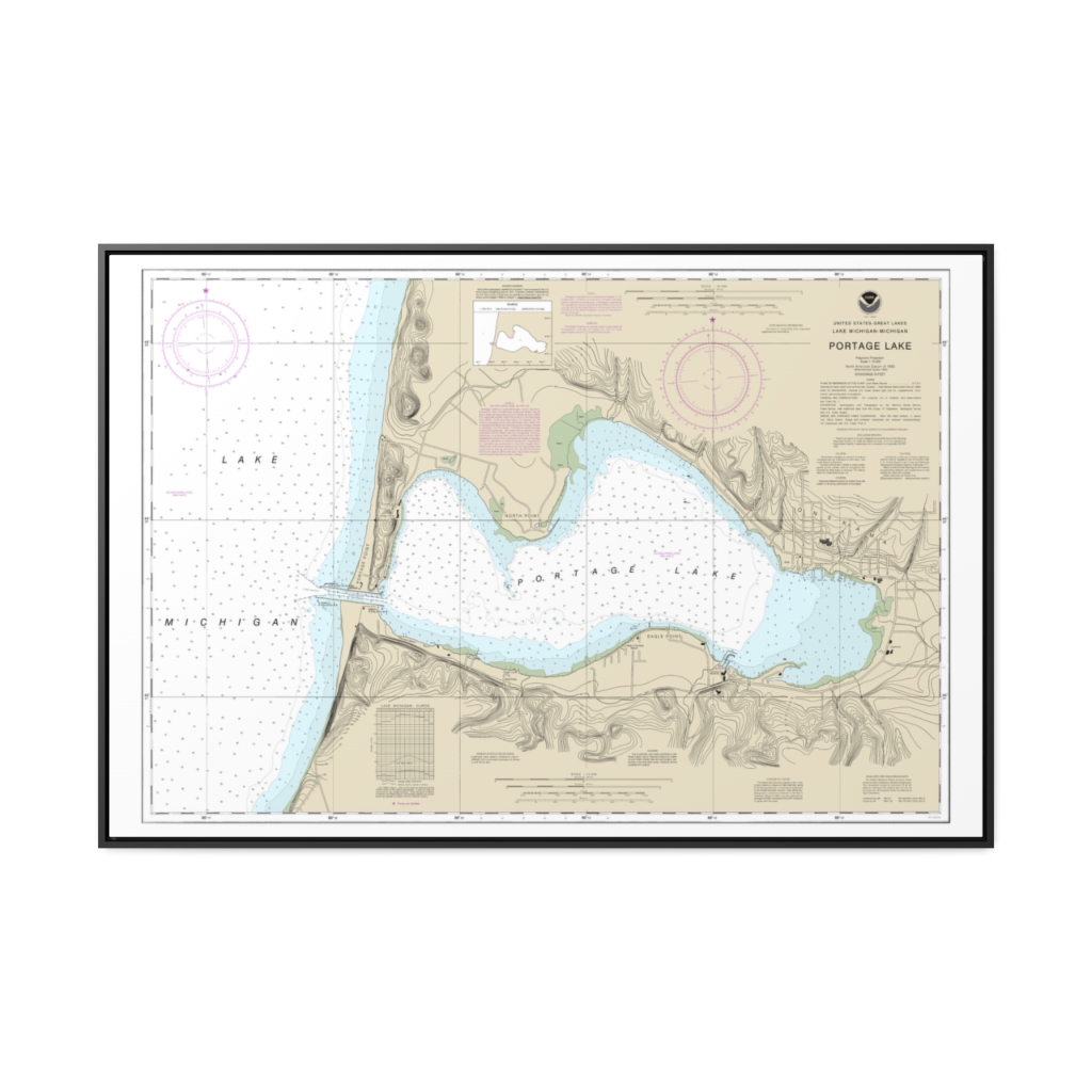
Portage Lake Nautical Chart 14939 – Floating Frame Canvas
From: $164.95PREMIUM FLOATING FRAME CANVASDistance from your search: 1862.4mi -
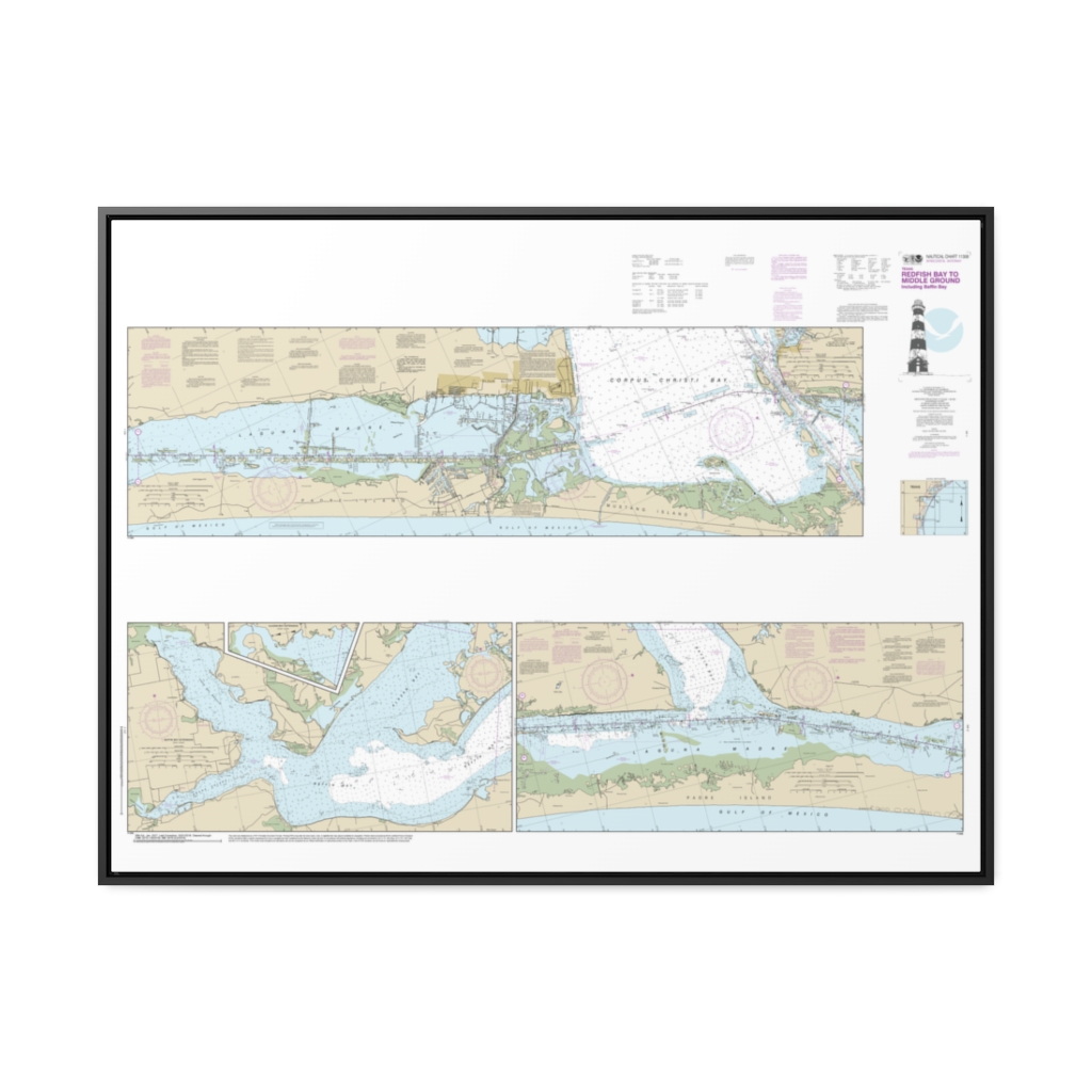
Intracoastal Waterway Redfish Bay to Middle Ground Nautical Chart 11308 – Floating Frame Canvas
From: $164.95PREMIUM FLOATING FRAME CANVASDistance from your search: 1862.4mi -
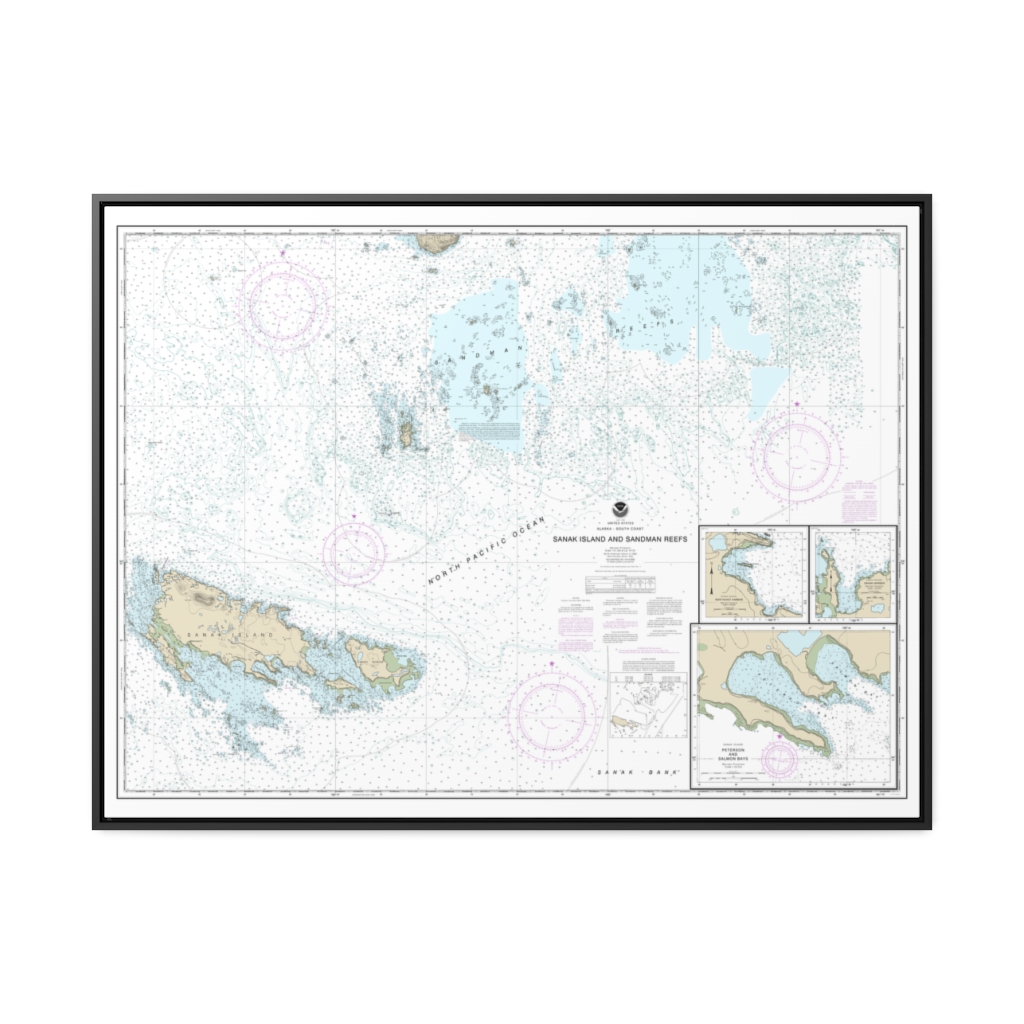
Sanak Island and Sandman Reefs Northeast Harbor Peterson and Salmon Bays Sanak Harbor Nautical Chart 16547 – Floating Frame Canvas
From: $184.95PREMIUM FLOATING FRAME CANVASDistance from your search: 1863.7mi -
Houston Ship Channel Atkinson Island to Alexander Island Nautical Chart 11328 – Floating Frame Canvas
From: $184.95PREMIUM FLOATING FRAME CANVASDistance from your search: 1866.9mi -
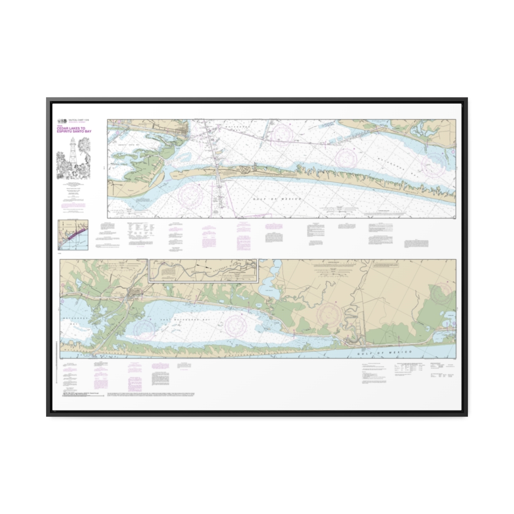
Intracoastal Waterway Cedar Lakes to Espiritu Santo Bay Nautical Chart 11319 – Floating Frame Canvas
From: $164.95PREMIUM FLOATING FRAME CANVASDistance from your search: 1867.3mi -
 11oz From $14.21 15oz From $16.46
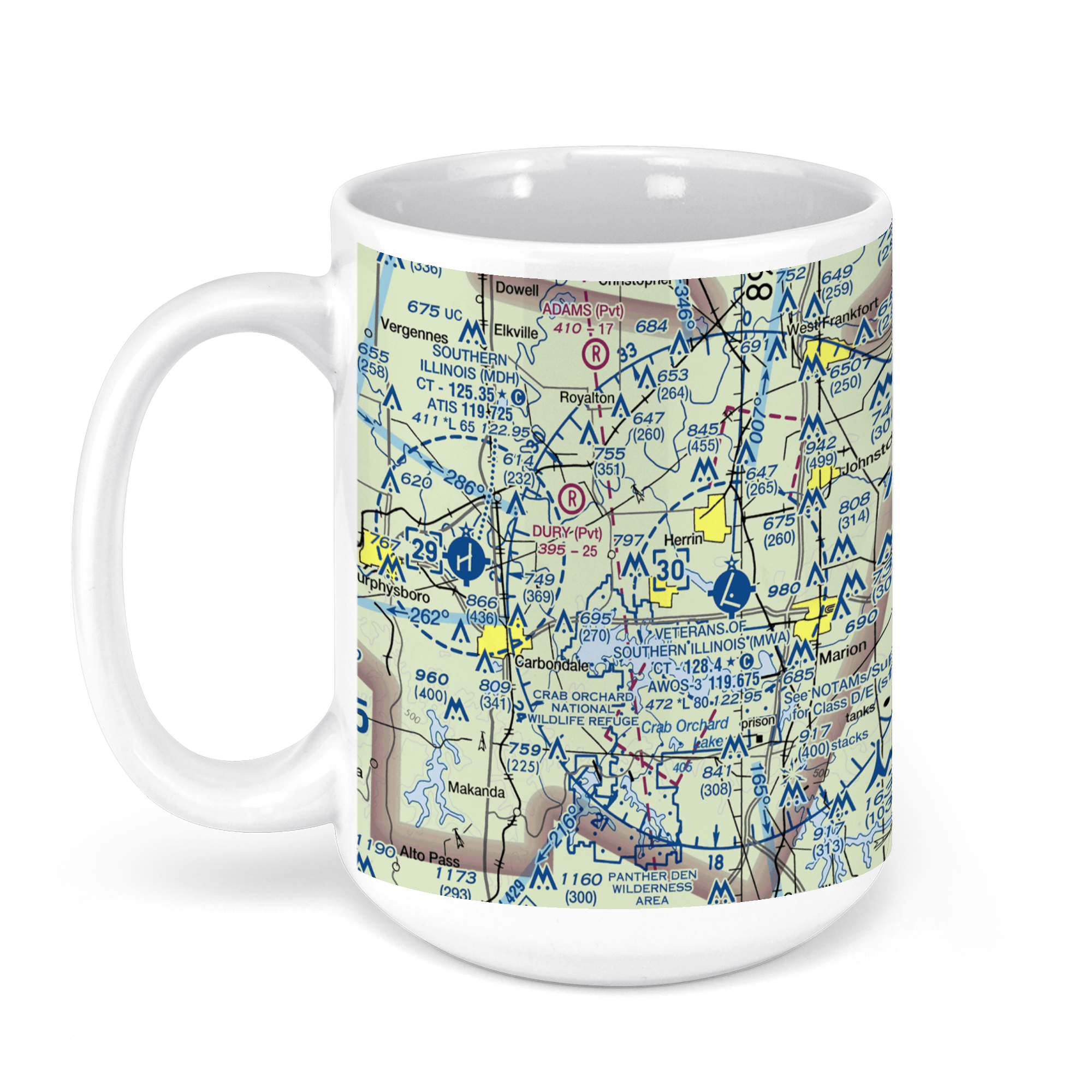
Williamson County Regional Airport, Terminal Drive, Marion, IL, USA FAA Sectional Aeronautical Charts Chart Mug
From: $18.95MIX, MATCH & SAVE! UP TO 25% OFFDistance from your search: 1868.7mi -
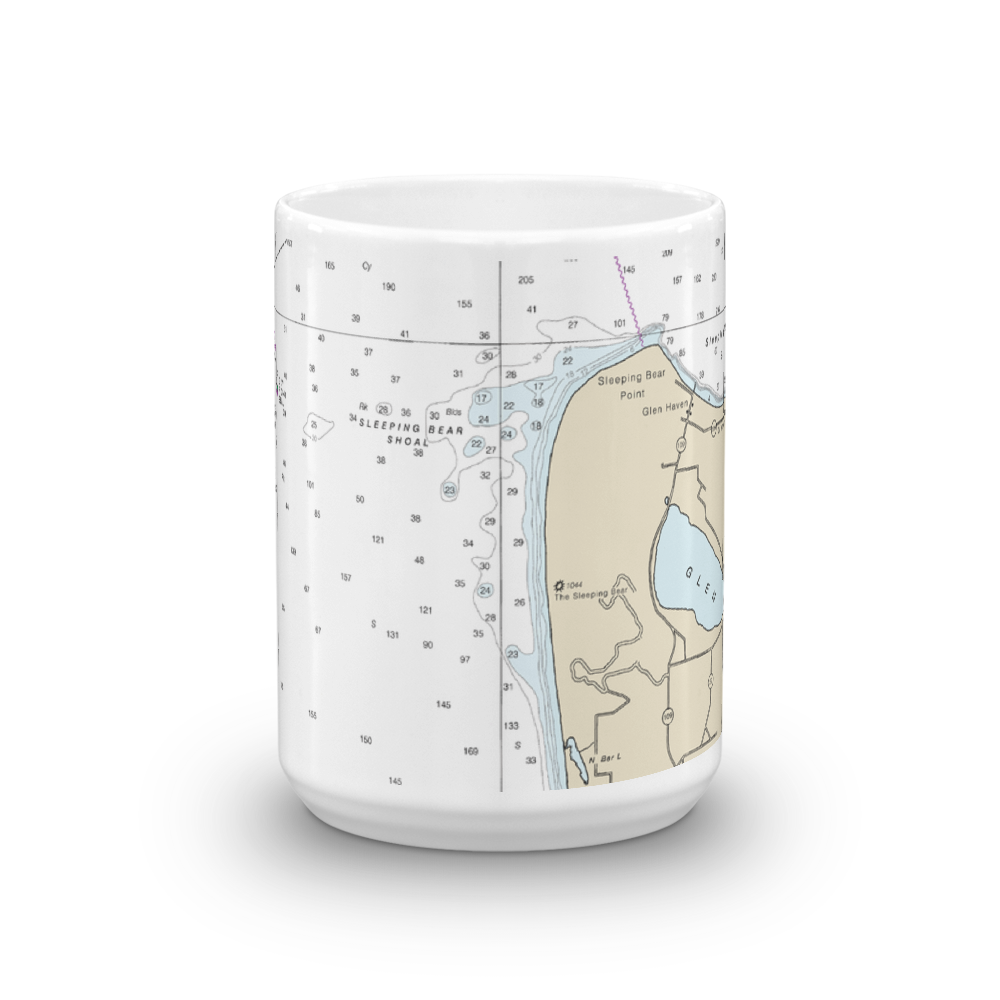
 11oz From $14.21 15oz From $16.46
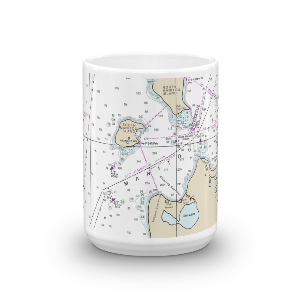
Manitou Islands, Sleeping Bear Point & Pyramid Point Nautical Chart Mug
From: $18.95MIX, MATCH & SAVE! UP TO 25% OFFDistance from your search: 1868.8mi -
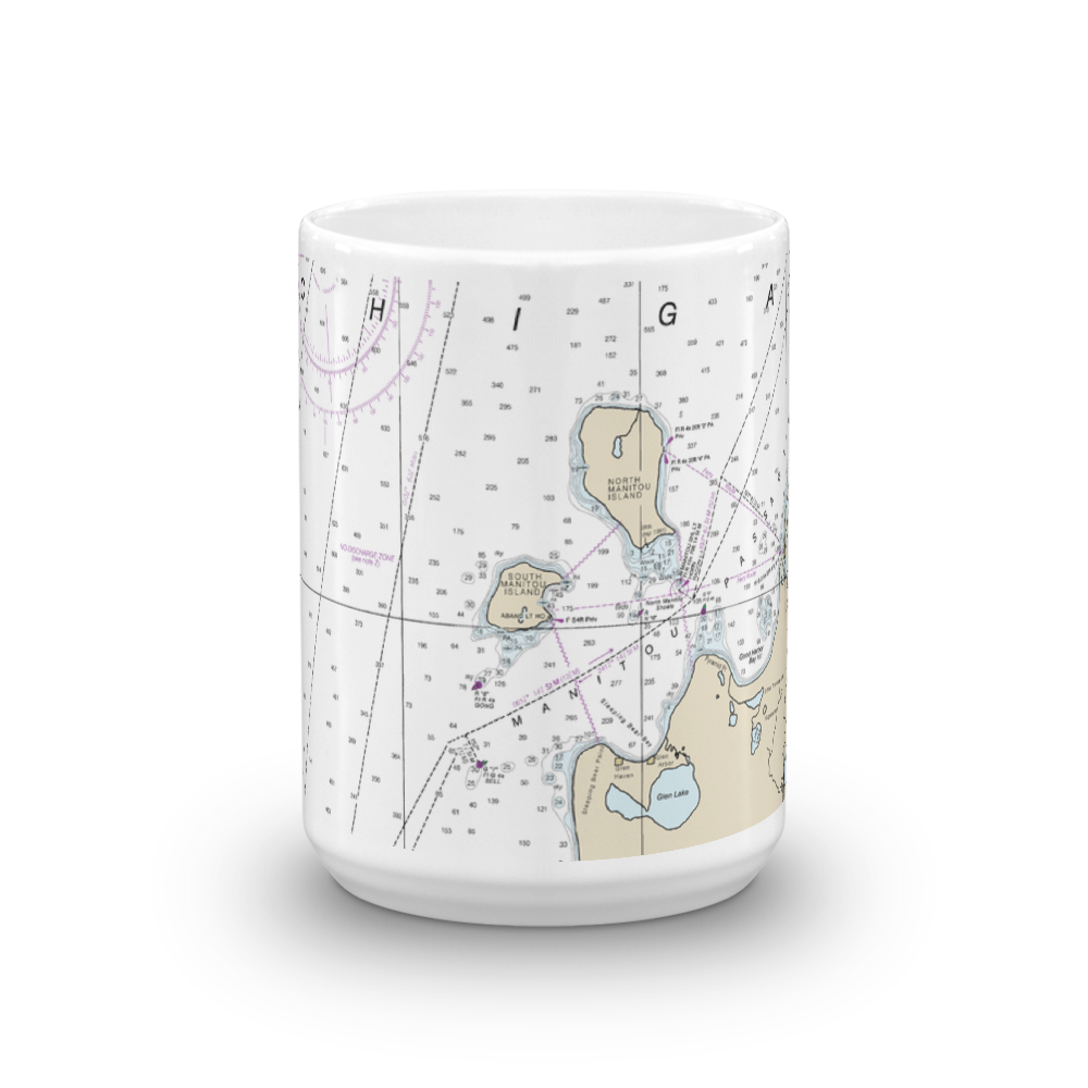 11oz From $14.21 15oz From $16.46
Lake Michigan Manitou Passage Nautical Chart Mug
From: $18.95MIX, MATCH & SAVE! UP TO 25% OFFDistance from your search: 1868.8mi -
 11oz From $14.21 15oz From $16.46
Sleeping Bear Dunes National Lakeshore Nautical Chart Mug
From: $18.95MIX, MATCH & SAVE! UP TO 25% OFFDistance from your search: 1868.8mi -
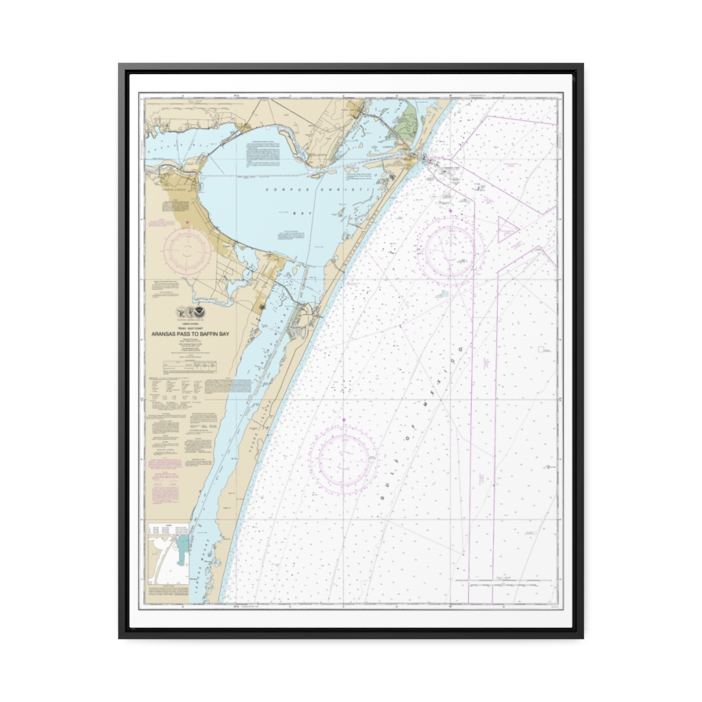
Aransas Pass to Baffin Bay Nautical Chart 11307 – Floating Frame Canvas
From: $184.95PREMIUM FLOATING FRAME CANVASDistance from your search: 1869.5mi -
Distance from your search: 1870.1mi
-
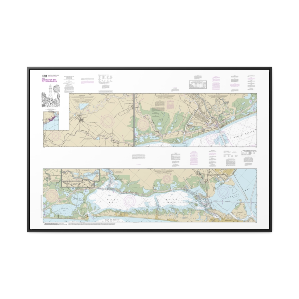
Intracoastal Waterway Galveston Bay to Cedar Lakes Nautical Chart 11322 – Floating Frame Canvas
From: $164.95PREMIUM FLOATING FRAME CANVASDistance from your search: 1870.1mi -
Distance from your search: 1872.7mi