- Display 24 Products per page
-
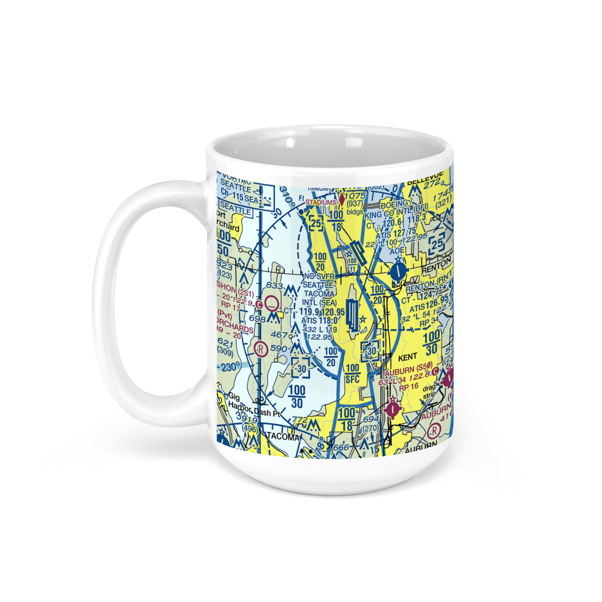 11oz From $14.21 15oz From $16.46
Seattle-Tacoma International Airport (SEA), International Boulevard, Seattle, WA, USA FAA Sectional Aeronautical Charts Chart Mug
From: $18.95MIX, MATCH & SAVE! UP TO 25% OFFDistance from your search: 180.6mi -
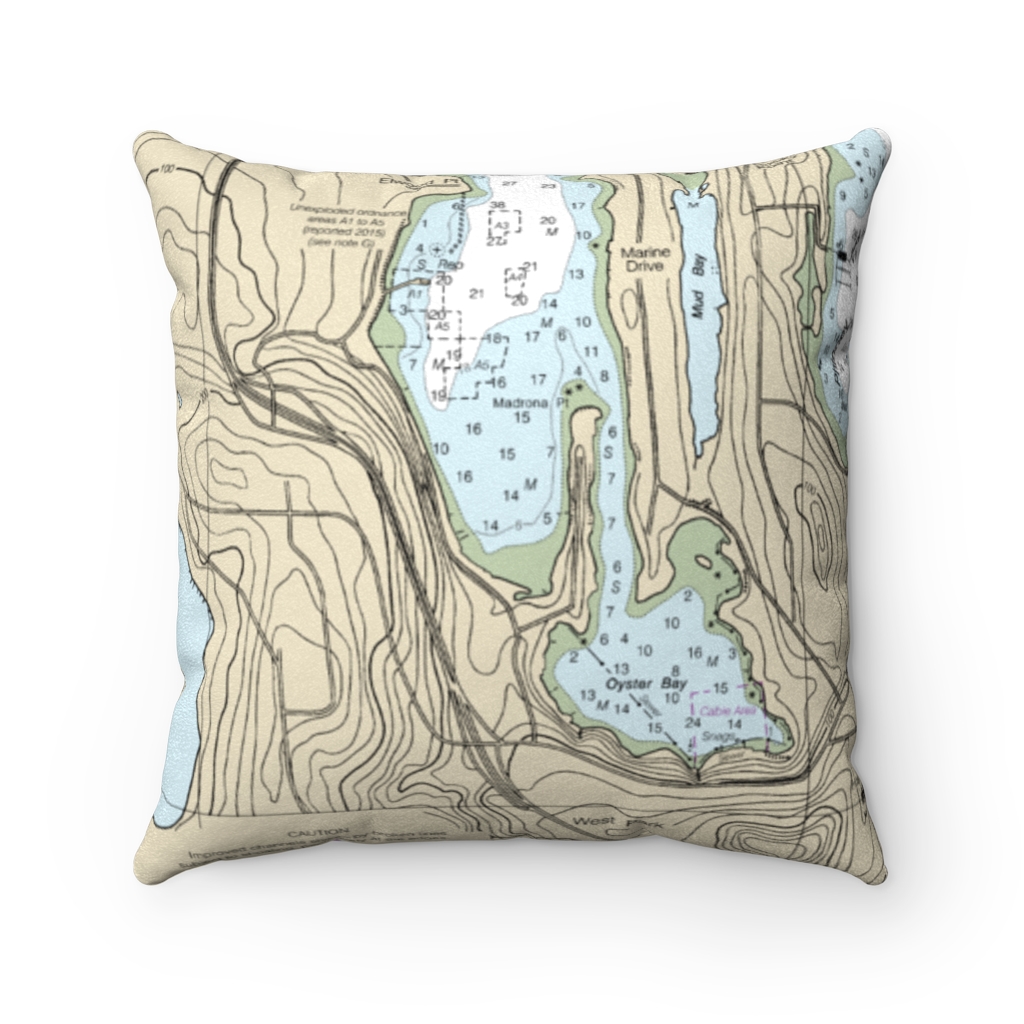
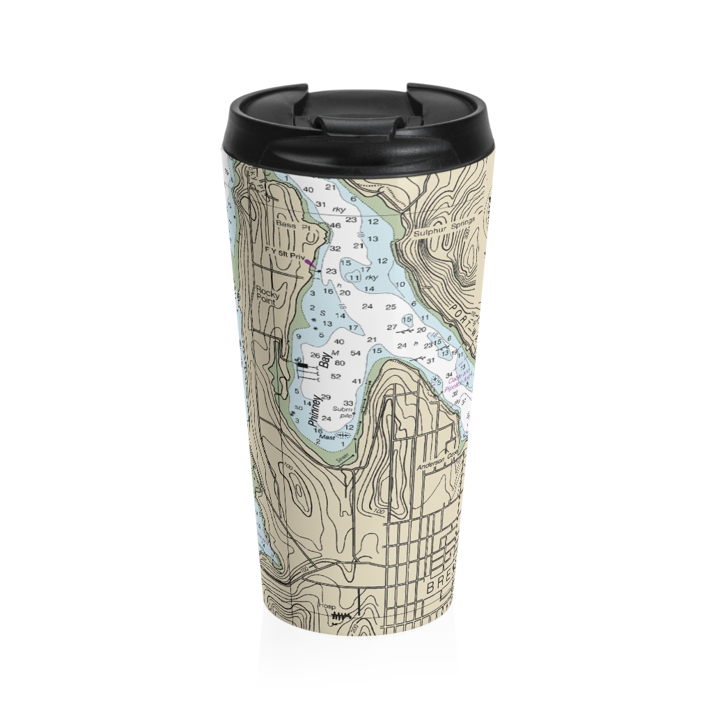
Oyster Bay, Bremerton Reverse Side Nautical Chart Premium Faux Suede Square Pillow
From: $44.95PREMIUM FAUX SUEDEDistance from your search: 181.2mi -
Distance from your search: 181.2mi
-
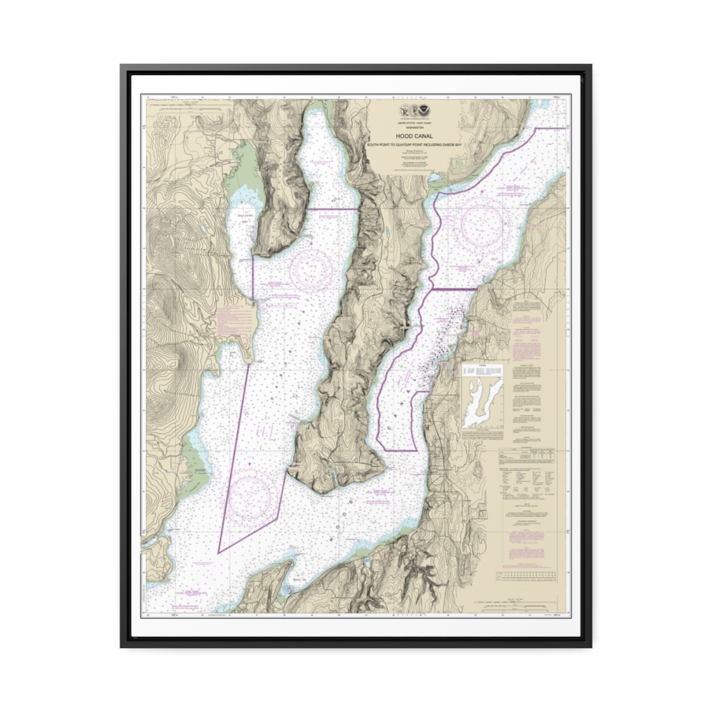
Hood Canal-South Point to Quatsap Point including Dabob Bay Nautical Chart 18458 – Floating Frame Canvas
From: $184.95PREMIUM FLOATING FRAME CANVASDistance from your search: 181.7mi -
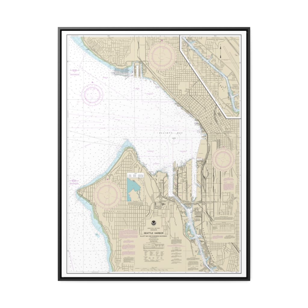
Seattle Harbor, Elliott Bay and Duwamish Waterway Nautical Chart 18450 – Floating Frame Canvas
From: $184.95PREMIUM FLOATING FRAME CANVASDistance from your search: 183.8mi -
Seattle Harbor, Elliott Bay and Duwamish Waterway Framed Wrapped Canvas Nautical Chart 18450
From: $73.25PREMIUM FLOATING FRAME CANVASDistance from your search: 187.7mi -
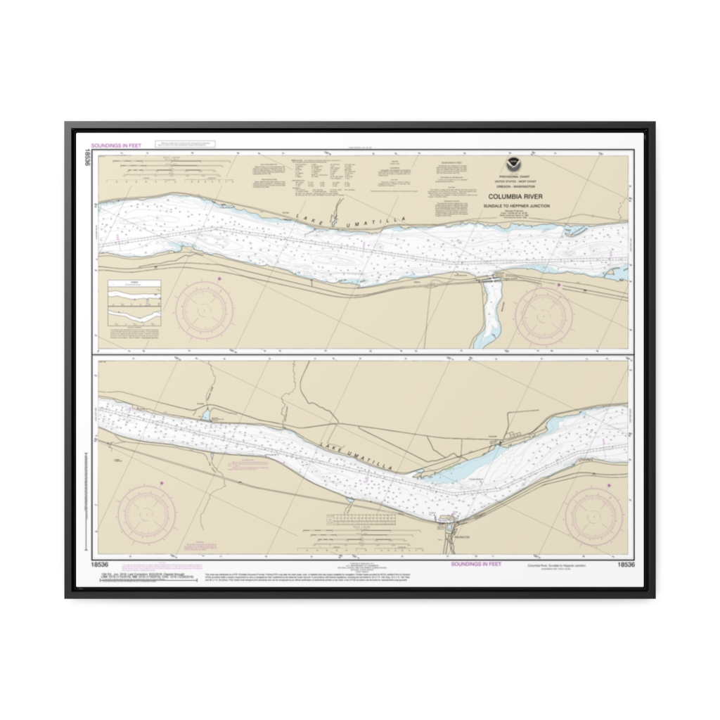
Columbia River Sundale to Heppner Junction Nautical Chart 18536 – Floating Frame Canvas
From: $164.95PREMIUM FLOATING FRAME CANVASDistance from your search: 189.3mi -
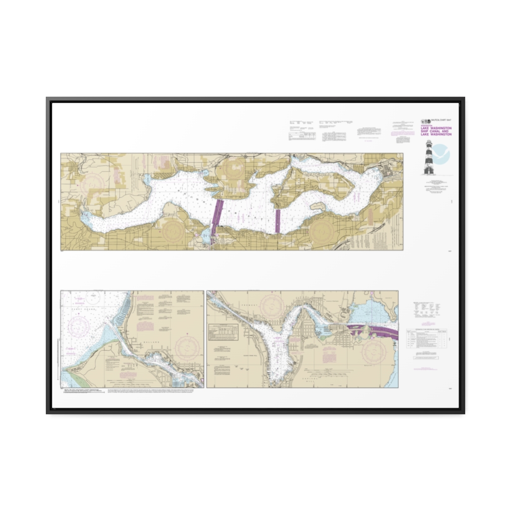
Lake Washington Ship Canal and Lake Washington Nautical Chart 18447 – Floating Frame Canvas
From: $164.95PREMIUM FLOATING FRAME CANVASDistance from your search: 190.9mi -
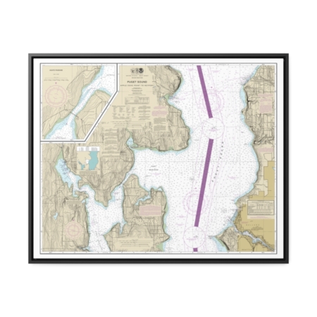
Puget Sound-Apple Cove Point to Keyport Agate Passage Nautical Chart 18446 – Floating Frame Canvas
From: $184.95PREMIUM FLOATING FRAME CANVASDistance from your search: 191.4mi -
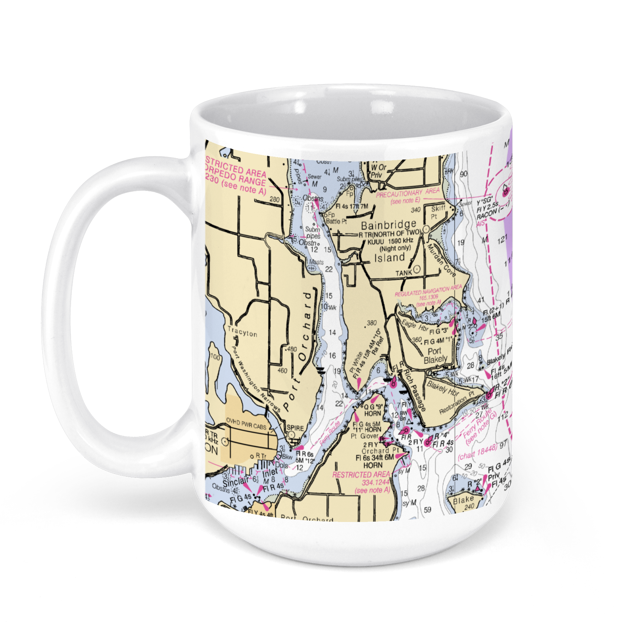 11oz From $14.21 15oz From $16.46
Bellevue, WA, USA NOAA Nautical Charts Chart Mug
From: $18.95MIX, MATCH & SAVE! UP TO 25% OFFDistance from your search: 192.7mi -
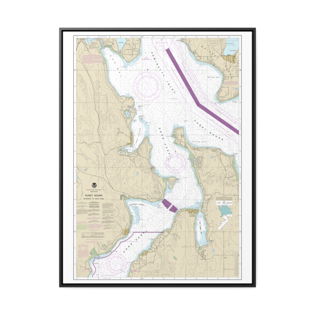
Puget Sound-Entrance to Hood Canal Nautical Chart 18477 – Floating Frame Canvas
From: $184.95PREMIUM FLOATING FRAME CANVASDistance from your search: 194mi -
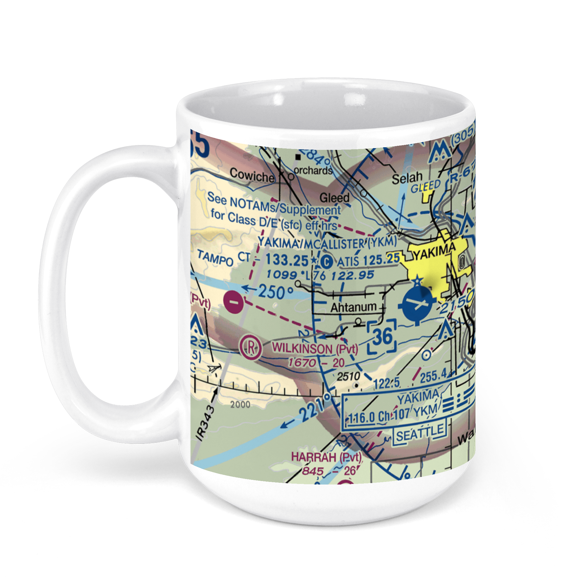 11oz From $14.21 15oz From $16.46
Yakima Air Terminal, West Washington Avenue, Yakima, WA, USA FAA Sectional Aeronautical Charts Chart Mug
From: $18.95MIX, MATCH & SAVE! UP TO 25% OFFDistance from your search: 194.2mi -
Distance from your search: 194.6mi
-
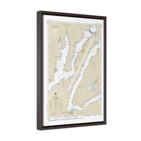
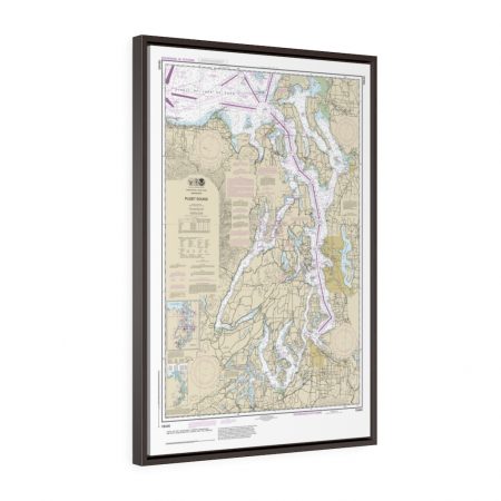
Puget Sound Hood Canal and Dabob Bay Floating Frame Canvas Nautical Chart
From: $119.95PREMIUM FLOATING FRAME CANVASDistance from your search: 194.6mi -
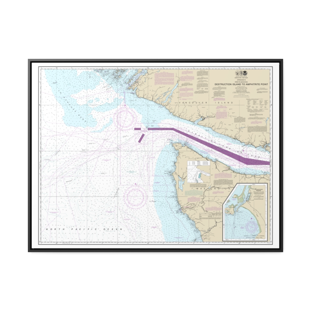
Approaches to Strait of Juan de Fuca Destruction lsland to Amphitrite Point Nautical Chart 18480 – Floating Frame Canvas
From: $184.95PREMIUM FLOATING FRAME CANVASDistance from your search: 195.2mi -
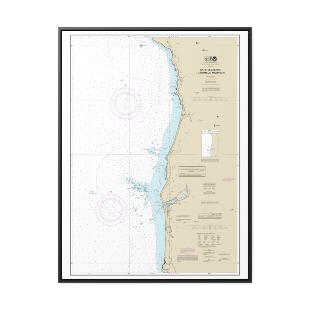
Cape Sebastian to Humbug Mountain Nautical Chart 18601 – Floating Frame Canvas
From: $184.95PREMIUM FLOATING FRAME CANVASDistance from your search: 195.2mi -
Strait of Juan de Fuca-eastern part Nautical Chart 18465 – Floating Frame Canvas
From: $184.95PREMIUM FLOATING FRAME CANVASDistance from your search: 195.3mi -
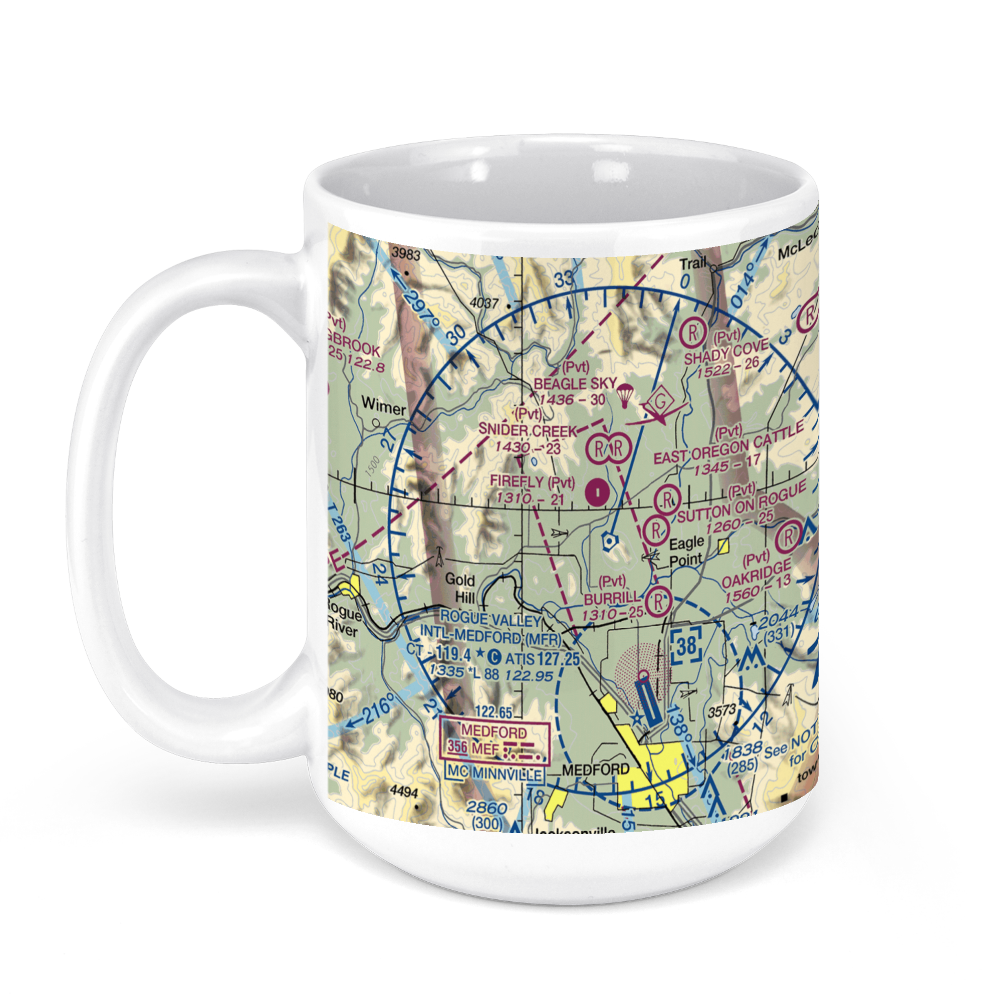 11oz From $14.21 15oz From $16.46
Rogue Valley International-Medford Airport, Terminal Loop Parkway, Medford, OR, USA FAA Sectional Aeronautical Charts Chart Mug
From: $18.95MIX, MATCH & SAVE! UP TO 25% OFFDistance from your search: 196.8mi -
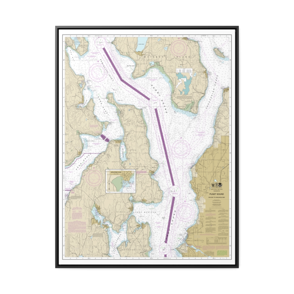
Puget Sound-Oak Bay to Shilshole Bay Nautical Chart 18473 – Floating Frame Canvas
From: $184.95PREMIUM FLOATING FRAME CANVASDistance from your search: 198.3mi -
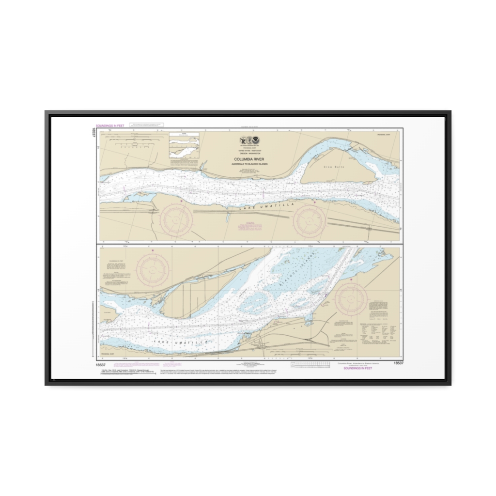
Columbia River Alderdale to Blalock Islands Nautical Chart 18537 – Floating Frame Canvas
From: $164.95PREMIUM FLOATING FRAME CANVASDistance from your search: 198.5mi -
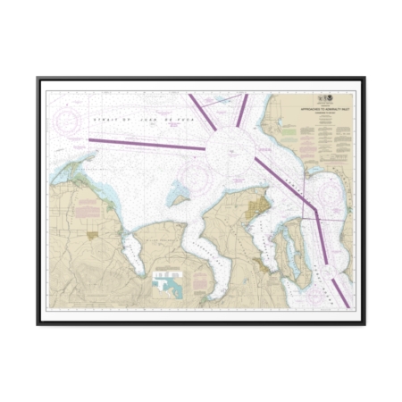
Approaches to Admiralty Inlet Dungeness to Oak Bay Nautical Chart 18471 – Floating Frame Canvas
From: $184.95PREMIUM FLOATING FRAME CANVASDistance from your search: 202.3mi -
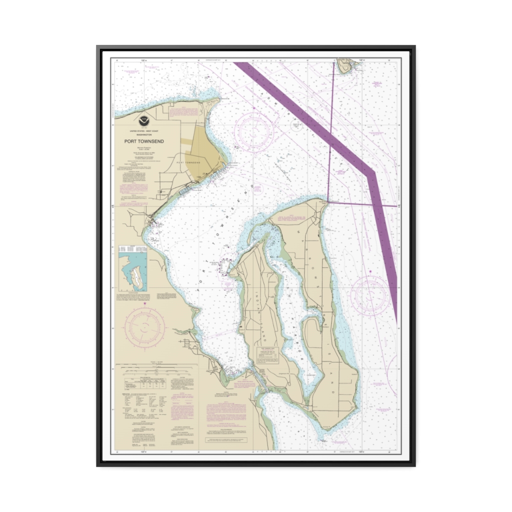
Port Townsend Nautical Chart 18464 – Floating Frame Canvas
From: $184.95PREMIUM FLOATING FRAME CANVASDistance from your search: 207.4mi -
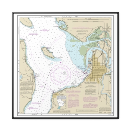
Approaches to Everett Nautical Chart 18443 – Floating Frame Canvas
From: $139.95PREMIUM FLOATING FRAME CANVASDistance from your search: 208.4mi -
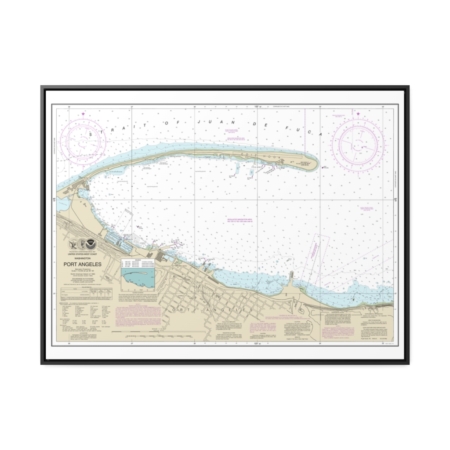
Port Angeles Nautical Chart 18468 – Floating Frame Canvas
From: $184.95PREMIUM FLOATING FRAME CANVASDistance from your search: 208.8mi

