- Display 24 Products per page
-
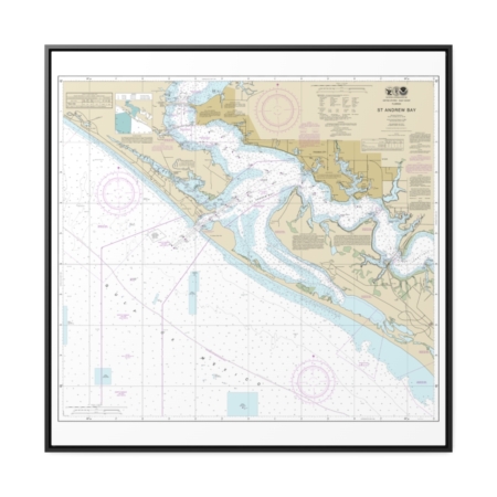
St. Andrew Bay Nautical Chart 11391 – Floating Frame Canvas
From: $139.95PREMIUM FLOATING FRAME CANVASDistance from your search: 2295.6mi -
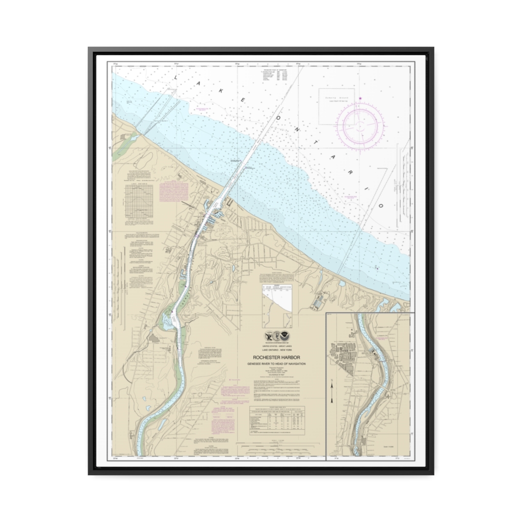
Rochester Harbor, including Genessee River to head of navigation Nautical Chart 14815 – Floating Frame Canvas
From: $184.95PREMIUM FLOATING FRAME CANVASDistance from your search: 2297.2mi -
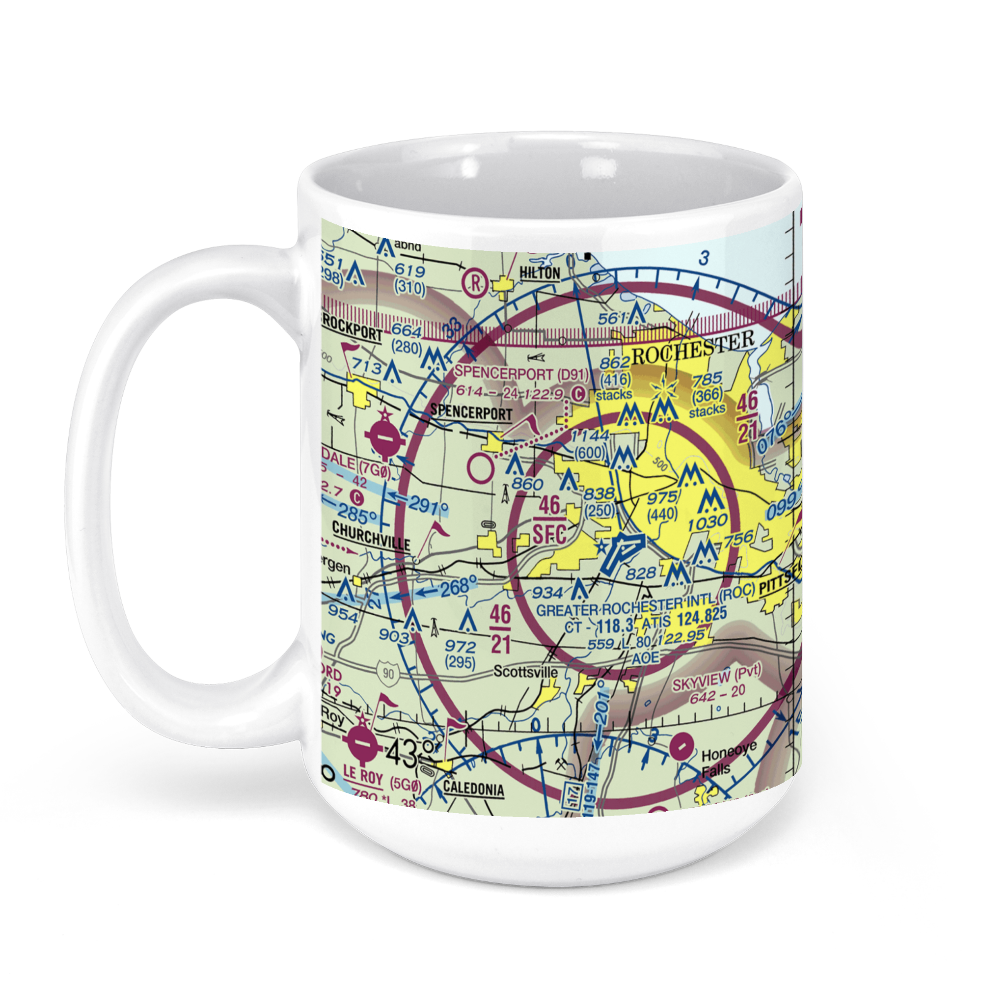 11oz From $14.21 15oz From $16.46
Greater Rochester International Airport (ROC), Brooks Avenue, Rochester, NY, USA FAA Sectional Aeronautical Charts Chart Mug
From: $18.95MIX, MATCH & SAVE! UP TO 25% OFFDistance from your search: 2297.4mi -
Distance from your search: 2298.3mi
-
Distance from your search: 2298.3mi
-
Distance from your search: 2298.3mi
-
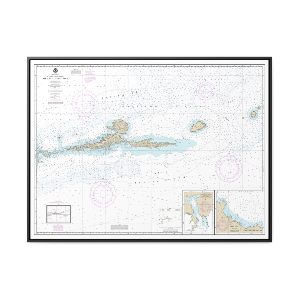
Amkta Island to Igitkin Island Finch Cove Seguam Island Sviechnikof Harbor, Amilia Island Nautical Chart 16480 – Floating Frame Canvas
From: $184.95PREMIUM FLOATING FRAME CANVASDistance from your search: 2302mi -
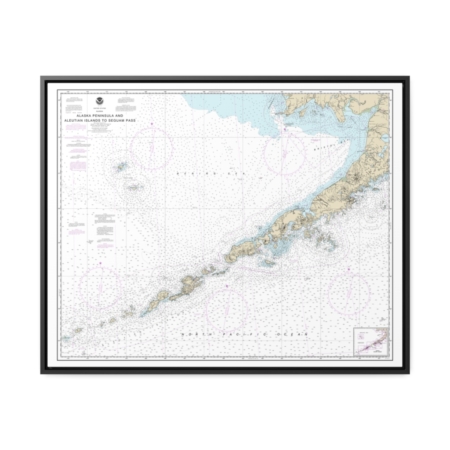
Alaska Peninsula and Aleutian Islands to Seguam Pass Nautical Chart 16011 – Floating Frame Canvas
From: $184.95PREMIUM FLOATING FRAME CANVASDistance from your search: 2302.7mi -
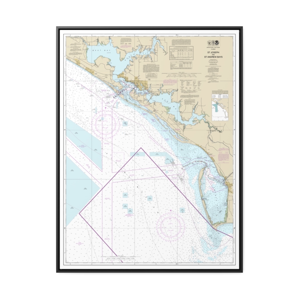
St Joseph and St Andrew Bays Nautical Chart 11389 – Floating Frame Canvas
From: $184.95PREMIUM FLOATING FRAME CANVASDistance from your search: 2308.7mi -
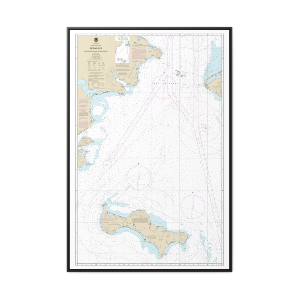
Bering Sea St. Lawrence Island to Bering Strait Nautical Chart 16220 – Floating Frame Canvas
From: $164.95PREMIUM FLOATING FRAME CANVASDistance from your search: 2310mi -
 11oz From $14.21 15oz From $16.46
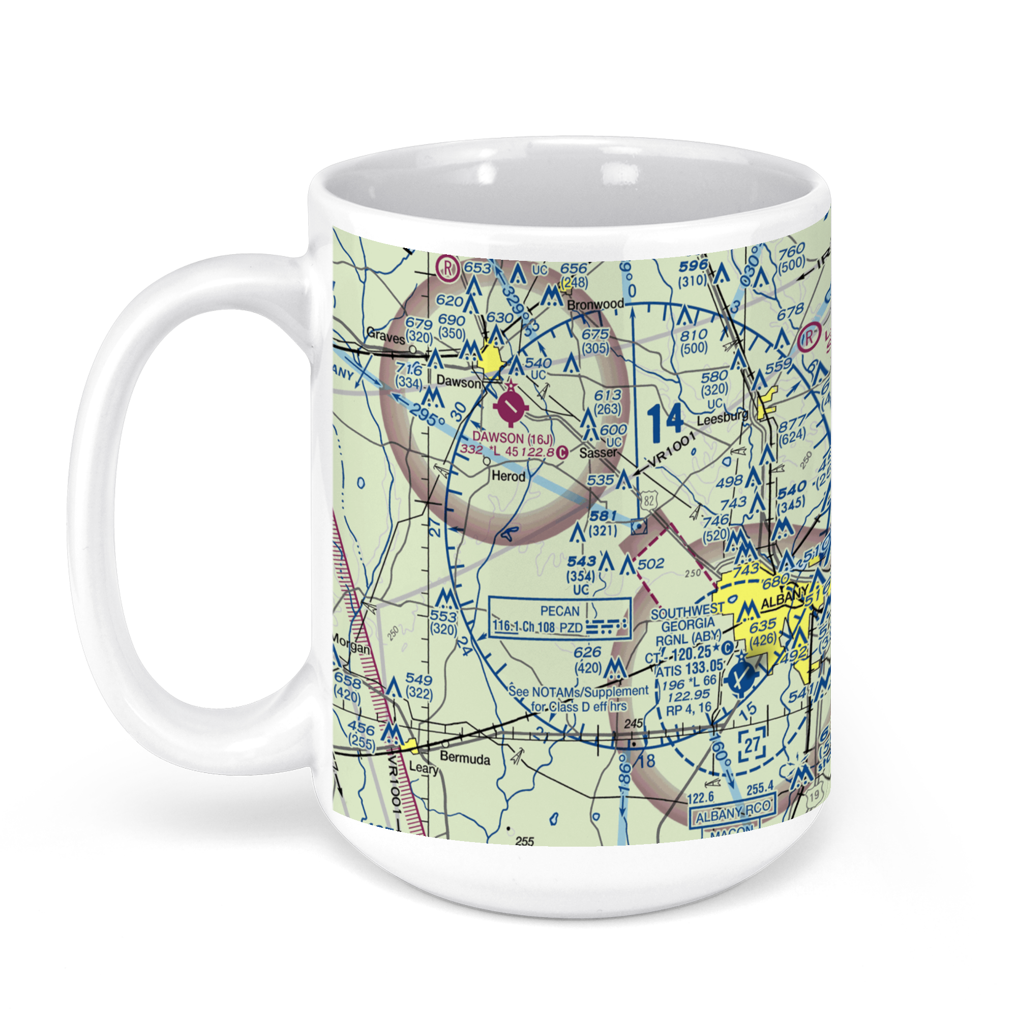
ABY – Southwest Georgia Regional Airport, Newton Road, Albany, GA, USA FAA Sectional Aeronautical Charts Chart Mug
From: $18.95MIX, MATCH & SAVE! UP TO 25% OFFDistance from your search: 2316.6mi -
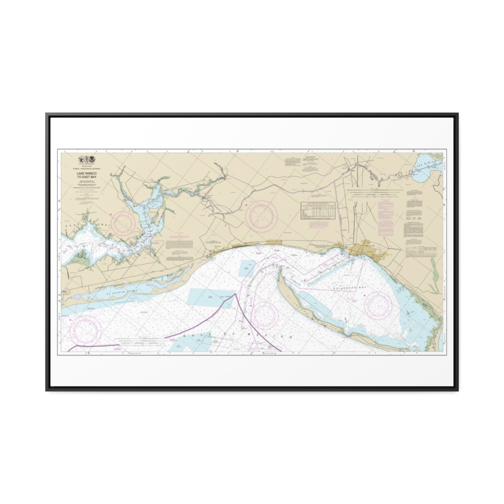
Intracoastal Waterway Lake Wimico to East Bay Nautical Chart 11393 – Floating Frame Canvas
From: $164.95PREMIUM FLOATING FRAME CANVASDistance from your search: 2317.7mi -
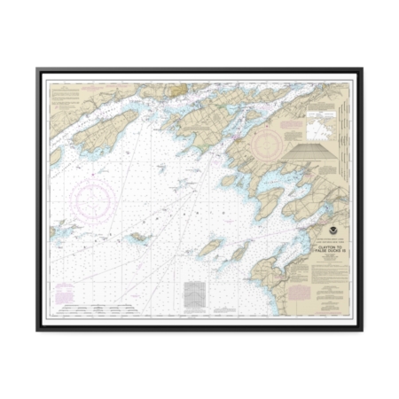
Clayton to False Ducks ls. Nautical Chart 14802 – Floating Frame Canvas
From: $184.95PREMIUM FLOATING FRAME CANVASDistance from your search: 2322mi -
Distance from your search: 2327.5mi
-
 11oz From $14.21 15oz From $16.46
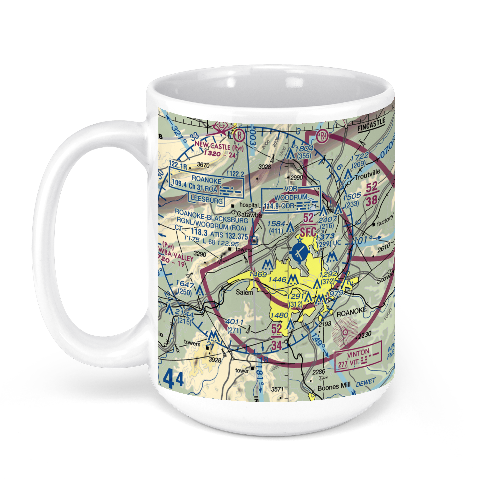
Roanoke-Blacksburg Regional Airport, Aviation Drive Northwest, Roanoke, VA, USA FAA Sectional Aeronautical Charts Chart Mug
From: $18.95MIX, MATCH & SAVE! UP TO 25% OFFDistance from your search: 2331.3mi -
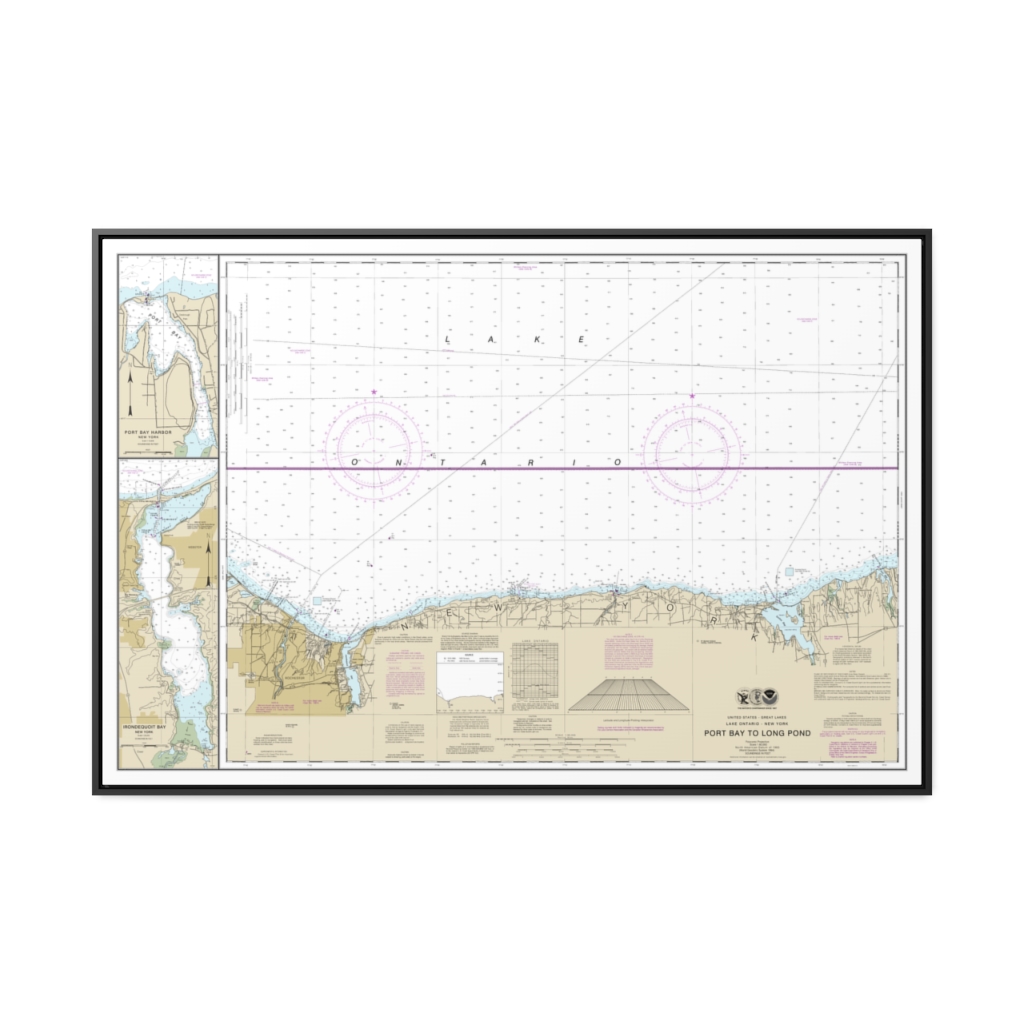
Port Bay to Long Pond Port Bay Harbor Irondequoit Bay Nautical Chart 14804 – Floating Frame Canvas
From: $164.95PREMIUM FLOATING FRAME CANVASDistance from your search: 2333.6mi -
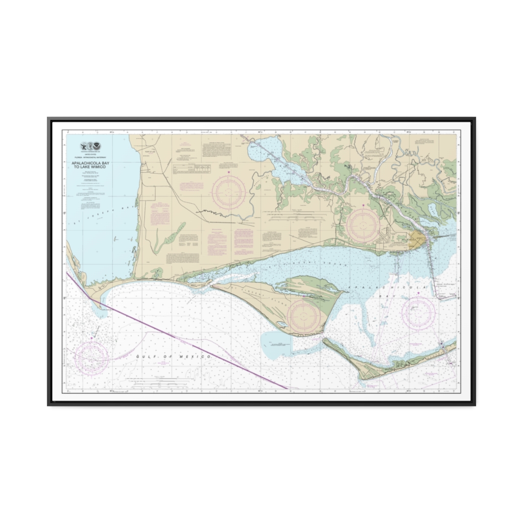
Intracoastal Waterway Apalachicola Bay to Lake Wimico Nautical Chart 11402 – Floating Frame Canvas
From: $164.95PREMIUM FLOATING FRAME CANVASDistance from your search: 2334.3mi -
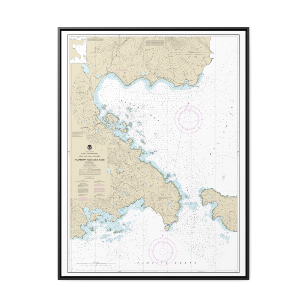
Nazan Bay and Amilia Pass Nautical Chart 16490 – Floating Frame Canvas
From: $184.95PREMIUM FLOATING FRAME CANVASDistance from your search: 2336.6mi -
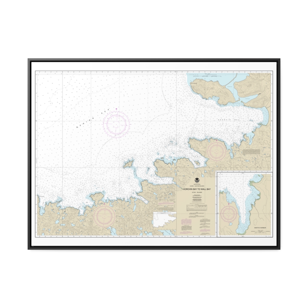
Korovin Bay to Wall Bay-Atka Island Martin Harbor Nautical Chart 16487 – Floating Frame Canvas
From: $184.95PREMIUM FLOATING FRAME CANVASDistance from your search: 2338.3mi -
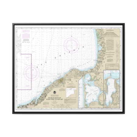
Six Miles south of Stony Point to Port Bay North Pond Little Sodus Bay Nautical Chart 14803 – Floating Frame Canvas
From: $184.95PREMIUM FLOATING FRAME CANVASDistance from your search: 2338.8mi -
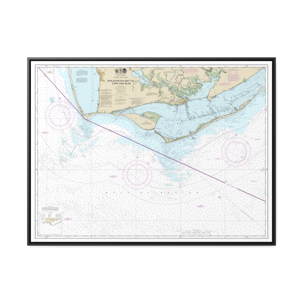
Apalachicola Bay to Cape San Blas Nautical Chart 11401 – Floating Frame Canvas
From: $184.95PREMIUM FLOATING FRAME CANVASDistance from your search: 2339mi -
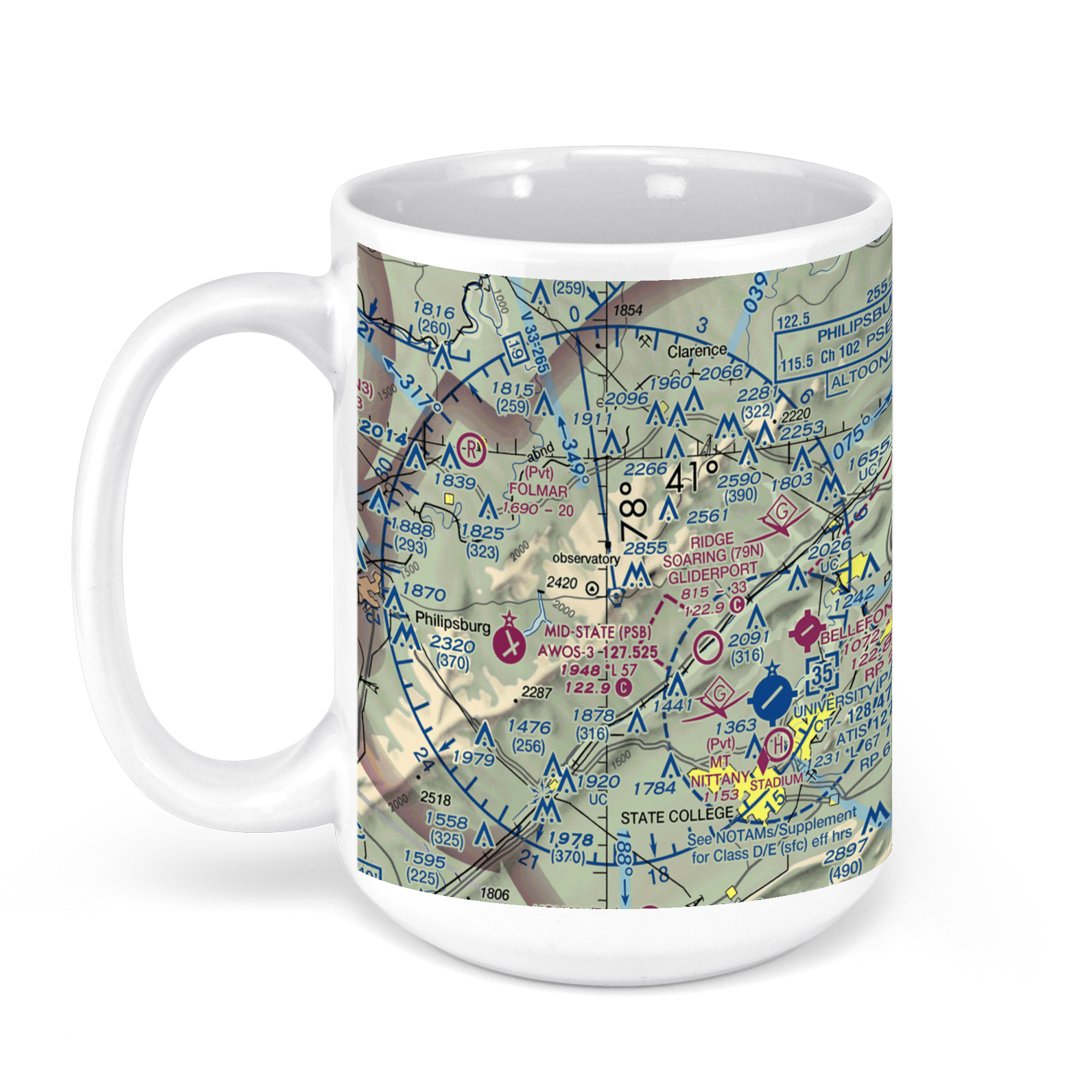 11oz From $14.21 15oz From $16.46
University Park Airport, Fox Hill Road, State College, Centre County, PA, USA FAA Sectional Aeronautical Charts Chart Mug
From: $18.95MIX, MATCH & SAVE! UP TO 25% OFFDistance from your search: 2340.4mi -
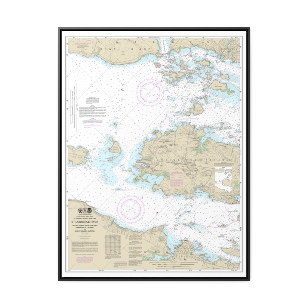
Round I., N.Y., and Gananoque, Ont., to Wolfe I., Ont. Nautical Chart 14774 – Floating Frame Canvas
From: $184.95PREMIUM FLOATING FRAME CANVASDistance from your search: 2343.2mi -
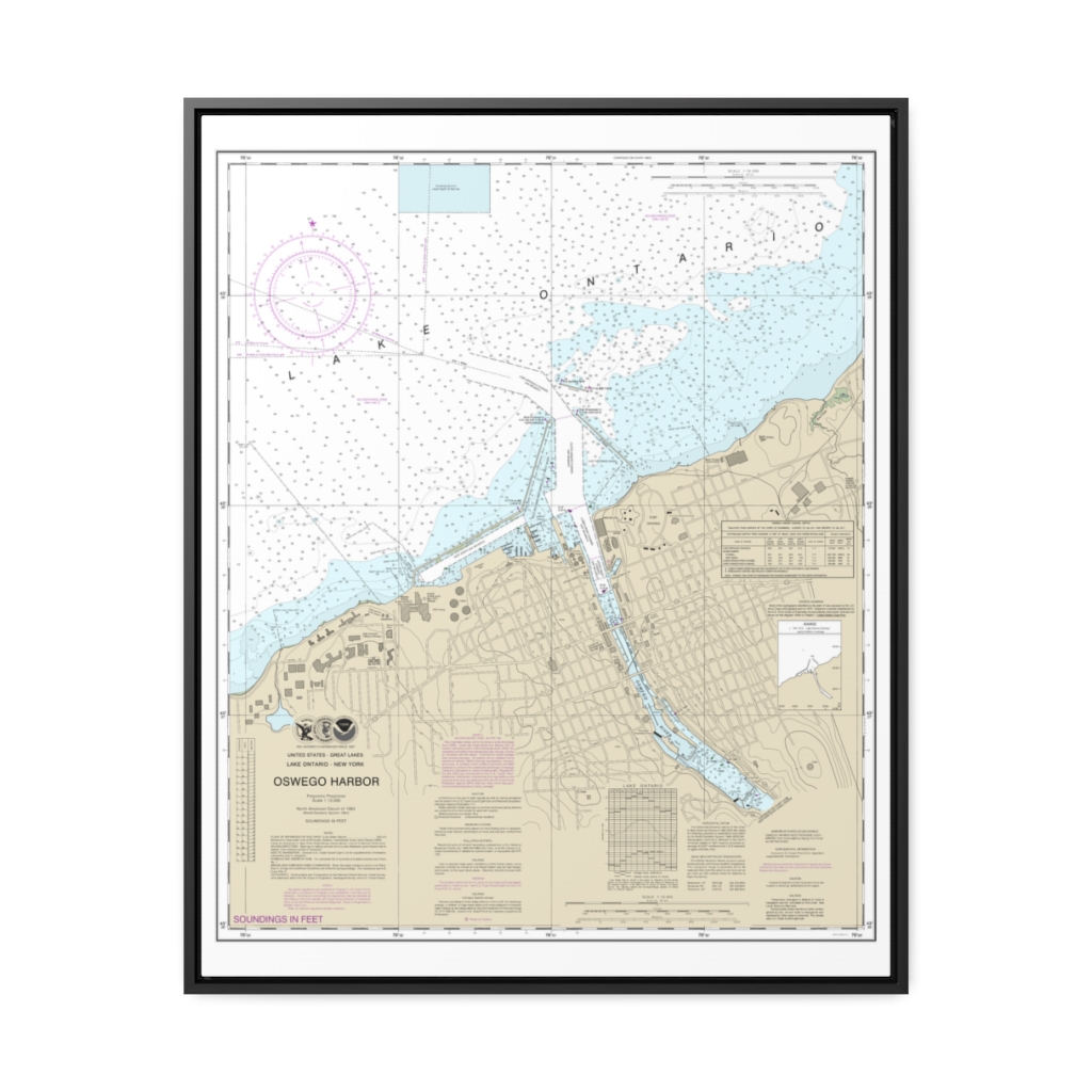
Oswego Harbor Nautical Chart 14813 – Floating Frame Canvas
From: $184.95PREMIUM FLOATING FRAME CANVASDistance from your search: 2344.3mi