- Display 24 Products per page
-
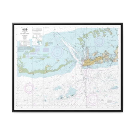
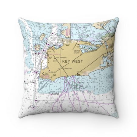
Key West Harbor and Approaches Nautical Chart 11441 – Floating Frame Canvas
From: $184.95PREMIUM FLOATING FRAME CANVASDistance from your search: 2269mi -
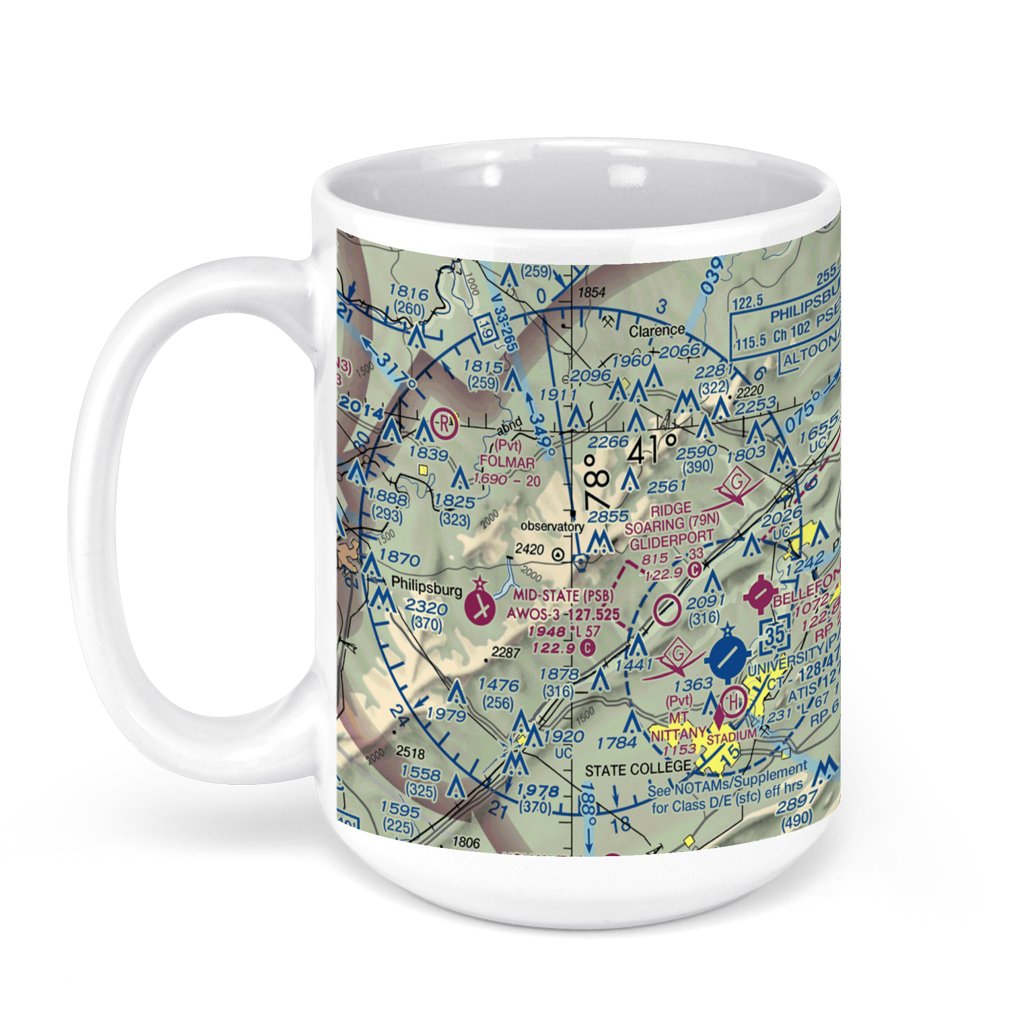 11oz From $14.21 15oz From $16.46
University Park Airport, Fox Hill Road, State College, Centre County, PA, USA FAA Sectional Aeronautical Charts Chart Mug
From: $18.95MIX, MATCH & SAVE! UP TO 25% OFFDistance from your search: 2269.3mi -
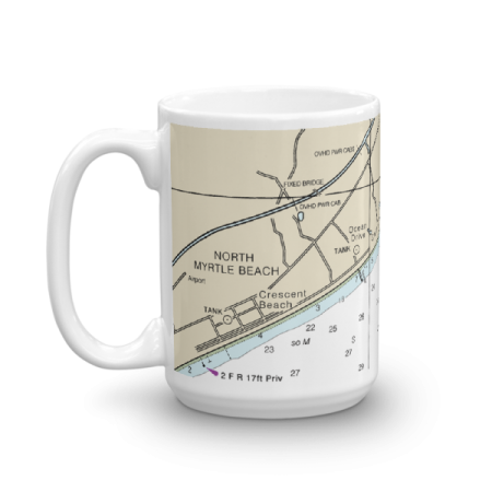 11oz From $14.21 15oz From $16.46
Ocean Drive Beach Cherry Grove Beach North Myrtle Beach Chart Mug
From: $18.95MIX, MATCH & SAVE! UP TO 25% OFFDistance from your search: 2270mi -
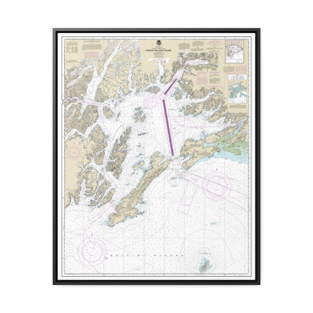
Prince William Sound Nautical Chart 16700 – Floating Frame Canvas
From: $184.95PREMIUM FLOATING FRAME CANVASDistance from your search: 2270.2mi -
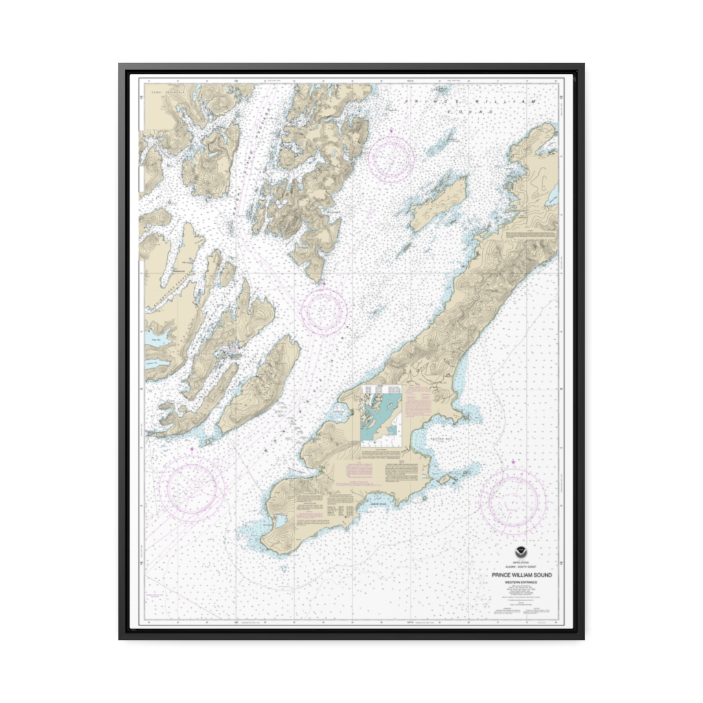
Prince William Sound-western entrance Nautical Chart 16701 – Floating Frame Canvas
From: $184.95PREMIUM FLOATING FRAME CANVASDistance from your search: 2271.8mi -
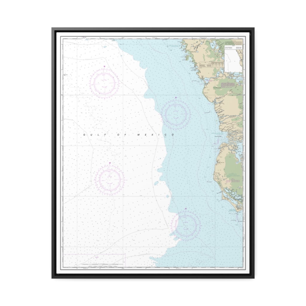
East Cape to Mormon Key Nautical Chart 11431 – Floating Frame Canvas
From: $184.95PREMIUM FLOATING FRAME CANVASDistance from your search: 2272.1mi -
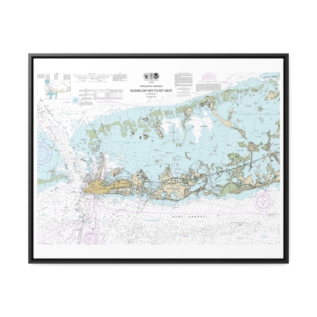
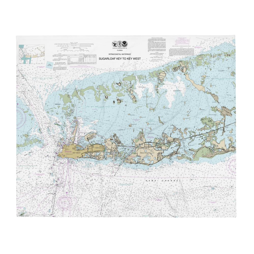
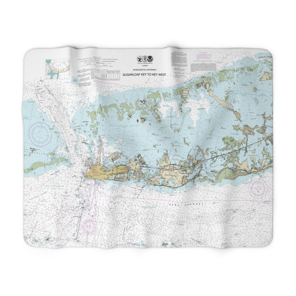
Intracoastal Waterway Sugarloaf Key To Key West Nautical Chart 11446 – Floating Frame Canvas
From: $184.95PREMIUM FLOATING FRAME CANVASDistance from your search: 2273.3mi -
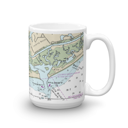 11oz From $14.21 15oz From $16.46
Little River Inlet ICW Chart Mug
From: $18.95MIX, MATCH & SAVE! UP TO 25% OFFDistance from your search: 2275.3mi -
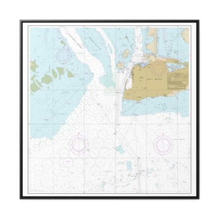
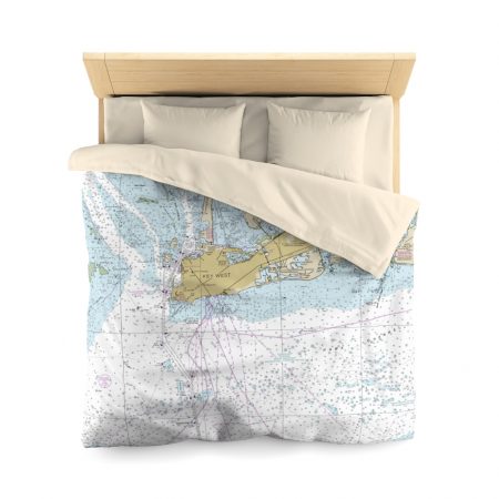
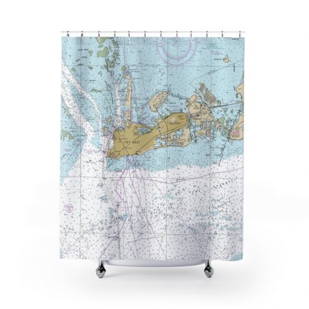
Key West Harbor Nautical Chart 11447 – Floating Frame Canvas
From: $139.95PREMIUM FLOATING FRAME CANVASDistance from your search: 2275.8mi -
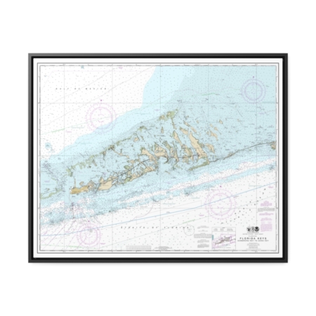
Florida Keys Sombrero Key to Sand Key Nautical Chart 11442 – Floating Frame Canvas
From: $184.95PREMIUM FLOATING FRAME CANVASDistance from your search: 2276.4mi -
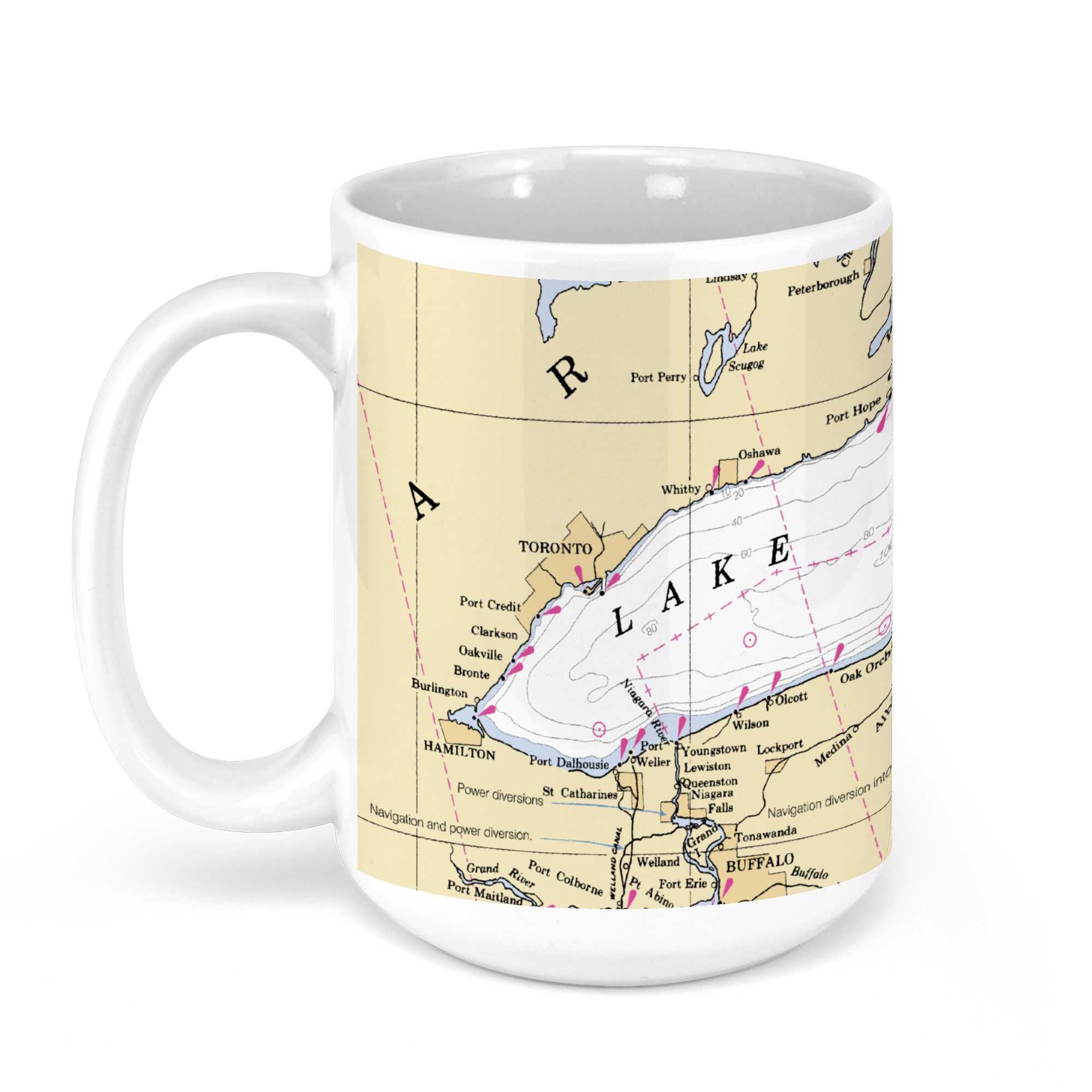 11oz From $14.21 15oz From $16.46
Lake Ontario NOAA Nautical Charts Chart Mug
From: $18.95MIX, MATCH & SAVE! UP TO 25% OFFDistance from your search: 2277.5mi -
Distance from your search: 2279mi
-
Distance from your search: 2279mi
-
Distance from your search: 2279mi
-
Distance from your search: 2279mi
-
Distance from your search: 2279mi
-
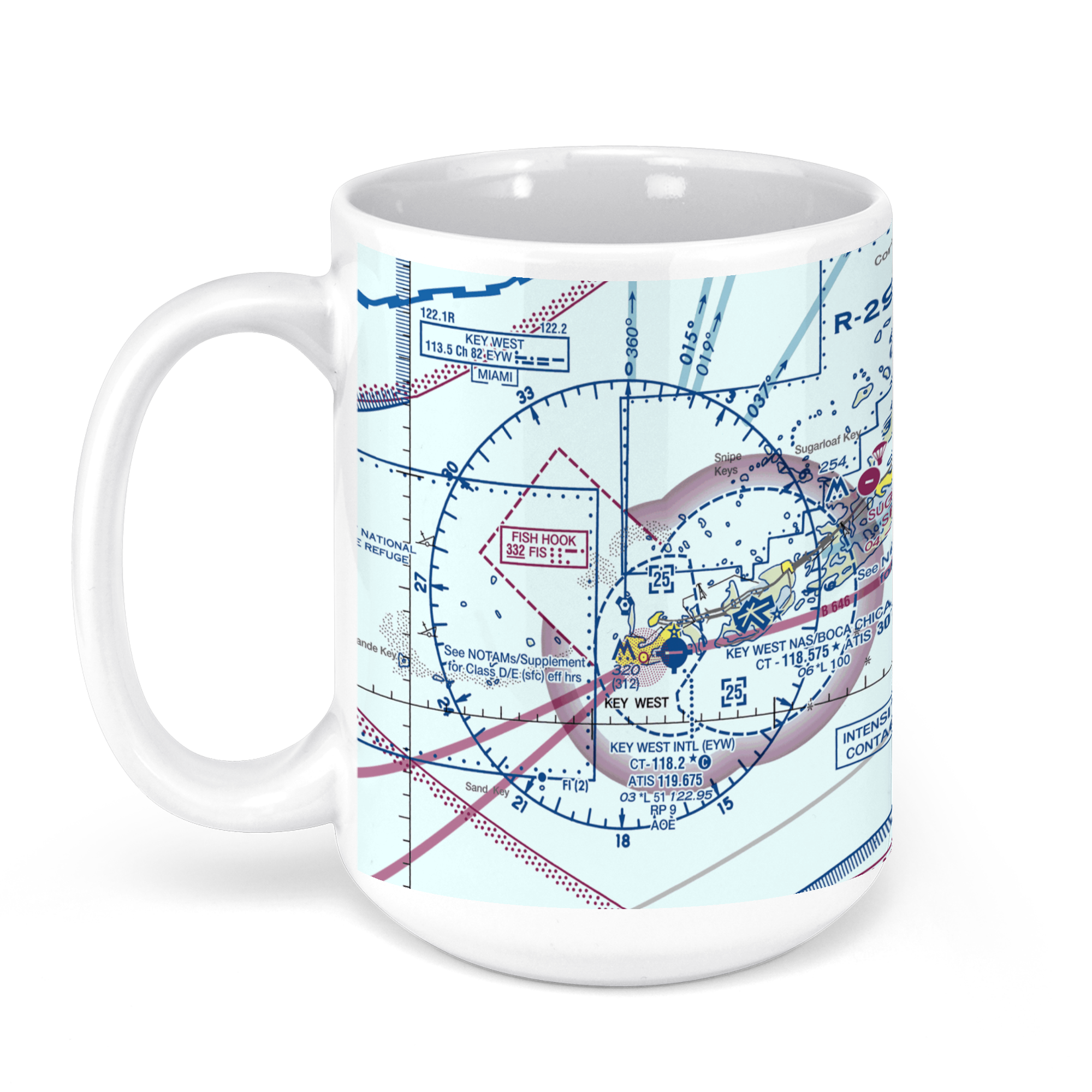 11oz From $14.21 15oz From $16.46
Key West Airport, South Roosevelt Boulevard, Key West, FL, USA FAA Sectional Aeronautical Charts Chart Mug
From: $18.95MIX, MATCH & SAVE! UP TO 25% OFFDistance from your search: 2280.5mi -
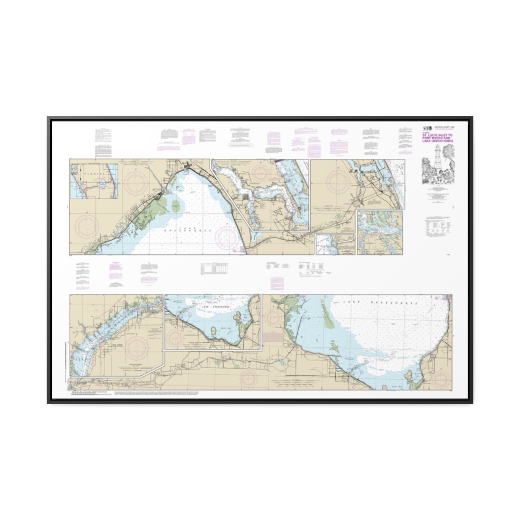
Okeechobee Waterway St. Lucie Inlet to Fort Myers; Lake Okeechobee Nautical Chart 11428 – Floating Frame Canvas
From: $164.95PREMIUM FLOATING FRAME CANVASDistance from your search: 2281.9mi -
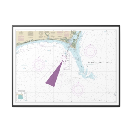
Approaches to Cape Fear River Nautical Chart 11536 – Floating Frame Canvas
From: $184.95PREMIUM FLOATING FRAME CANVASDistance from your search: 2282.5mi -
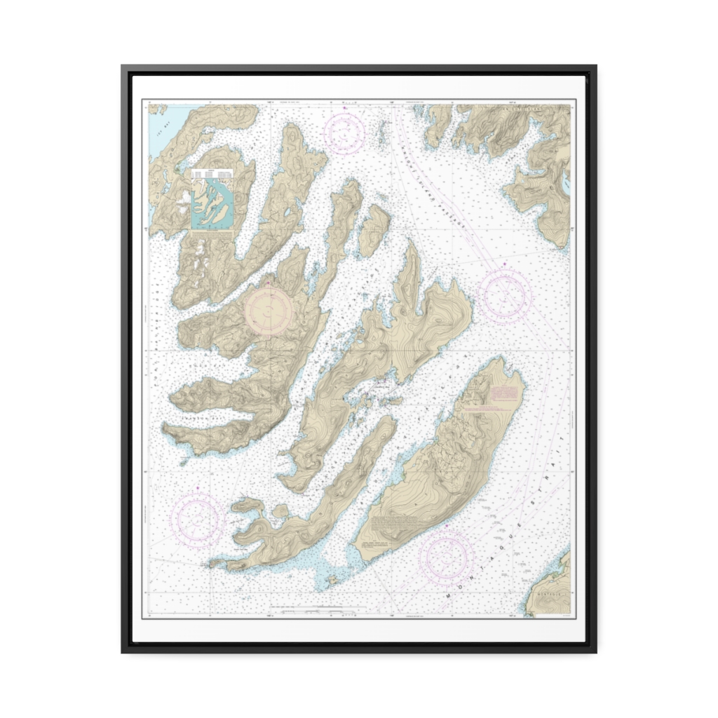
Latouche Passage to Whale Bay Nautical Chart 16702 – Floating Frame Canvas
From: $184.95PREMIUM FLOATING FRAME CANVASDistance from your search: 2282.6mi -
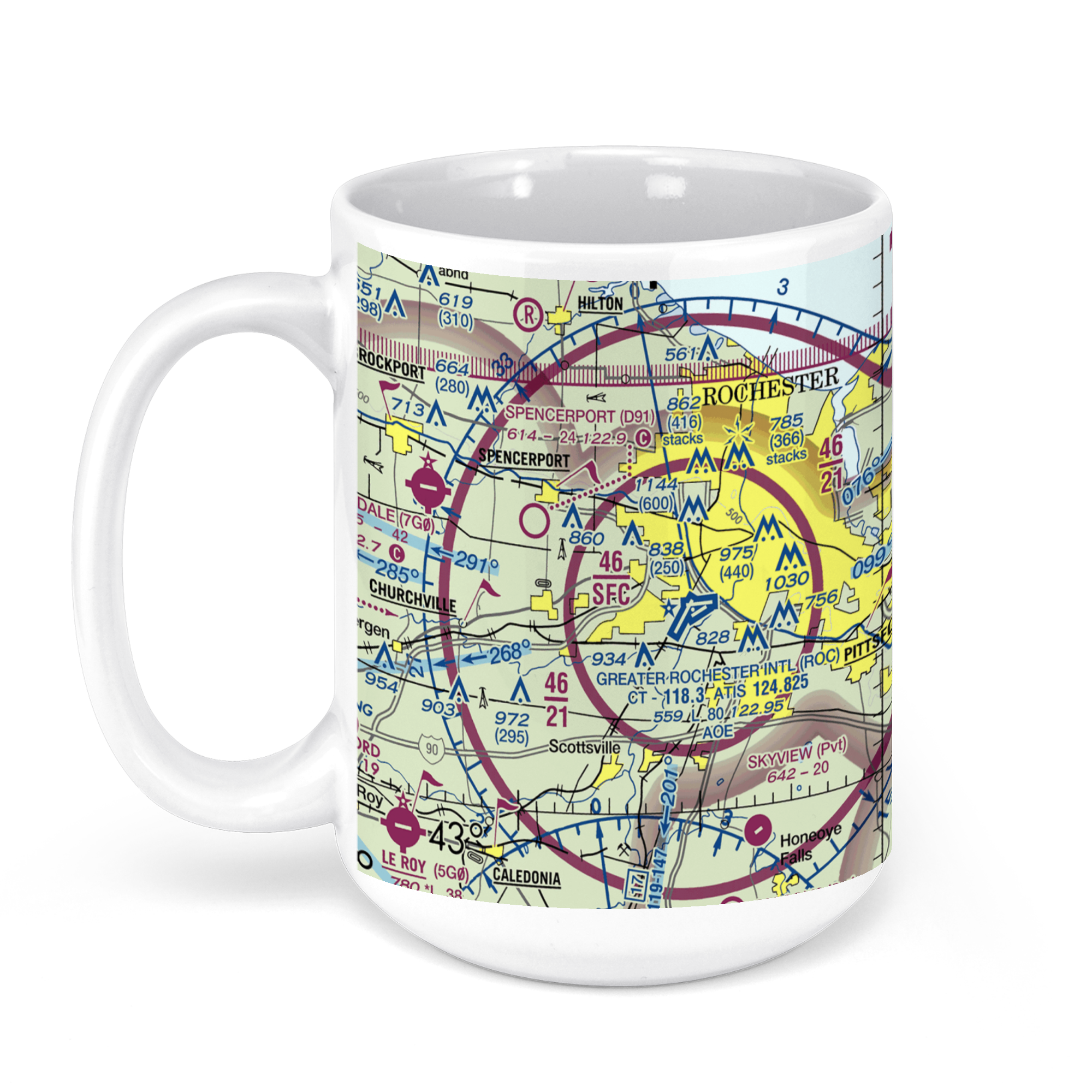 11oz From $14.21 15oz From $16.46
Greater Rochester International Airport (ROC), Brooks Avenue, Rochester, NY, USA FAA Sectional Aeronautical Charts Chart Mug
From: $18.95MIX, MATCH & SAVE! UP TO 25% OFFDistance from your search: 2283.2mi -
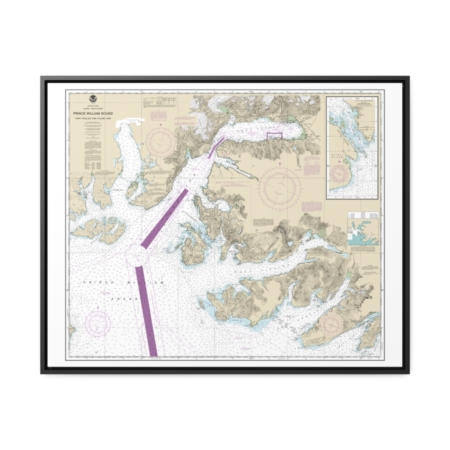
Prince William Sound-Port Fidalgo and Valdez Arm Tatitlek Narrows Nautical Chart 16708 – Floating Frame Canvas
From: $184.95PREMIUM FLOATING FRAME CANVASDistance from your search: 2283.8mi -
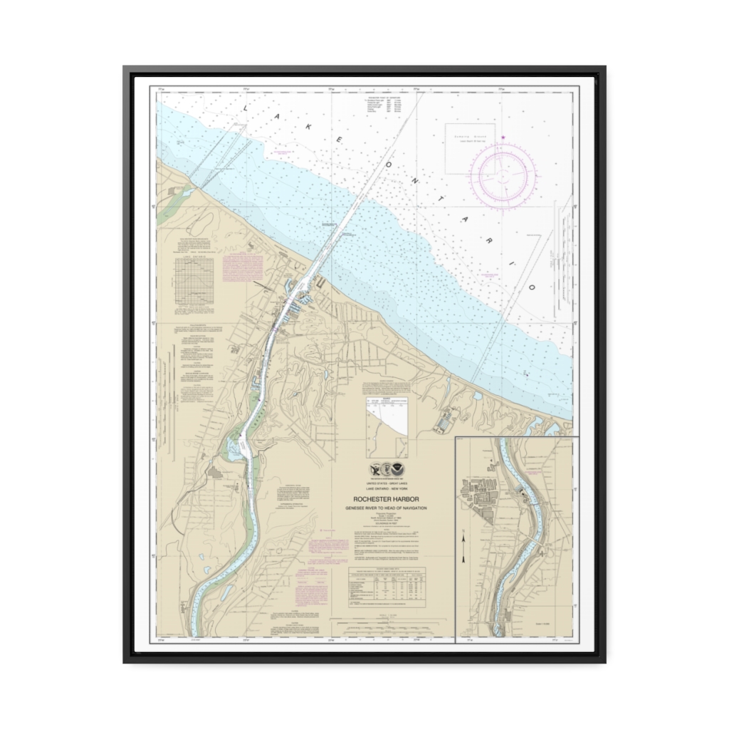
Rochester Harbor, including Genessee River to head of navigation Nautical Chart 14815 – Floating Frame Canvas
From: $184.95PREMIUM FLOATING FRAME CANVASDistance from your search: 2285.2mi -
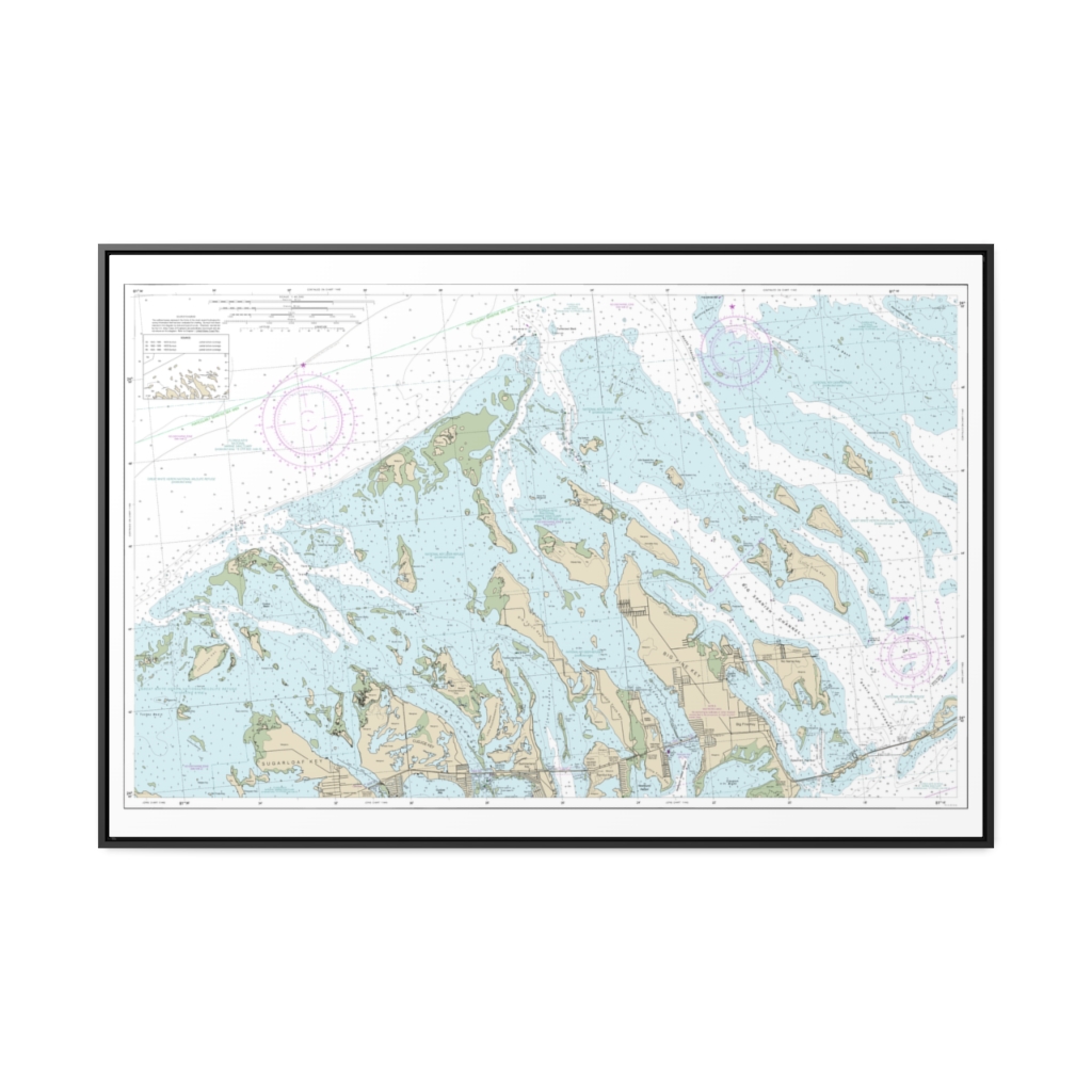
Intracoastal Waterway Big Spanish Channel to Johnston Key Nautical Chart 11448 – Floating Frame Canvas
From: $164.95PREMIUM FLOATING FRAME CANVASDistance from your search: 2285.8mi

