- Display 24 Products per page
-
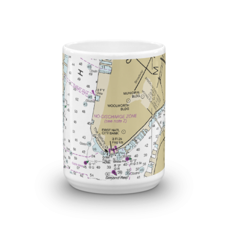
 11oz From $14.21 15oz From $16.46
Battery City Park Chart Mug
From: $18.95MIX, MATCH & SAVE! UP TO 25% OFFDistance from your search: 2868mi -
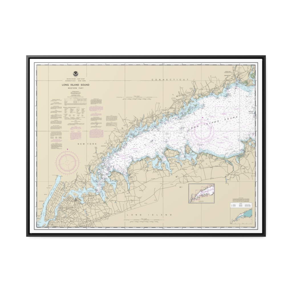
Long Island Sound Western Part Nautical Chart 12363 – Floating Frame Canvas
From: $184.95PREMIUM FLOATING FRAME CANVASDistance from your search: 2868.1mi -
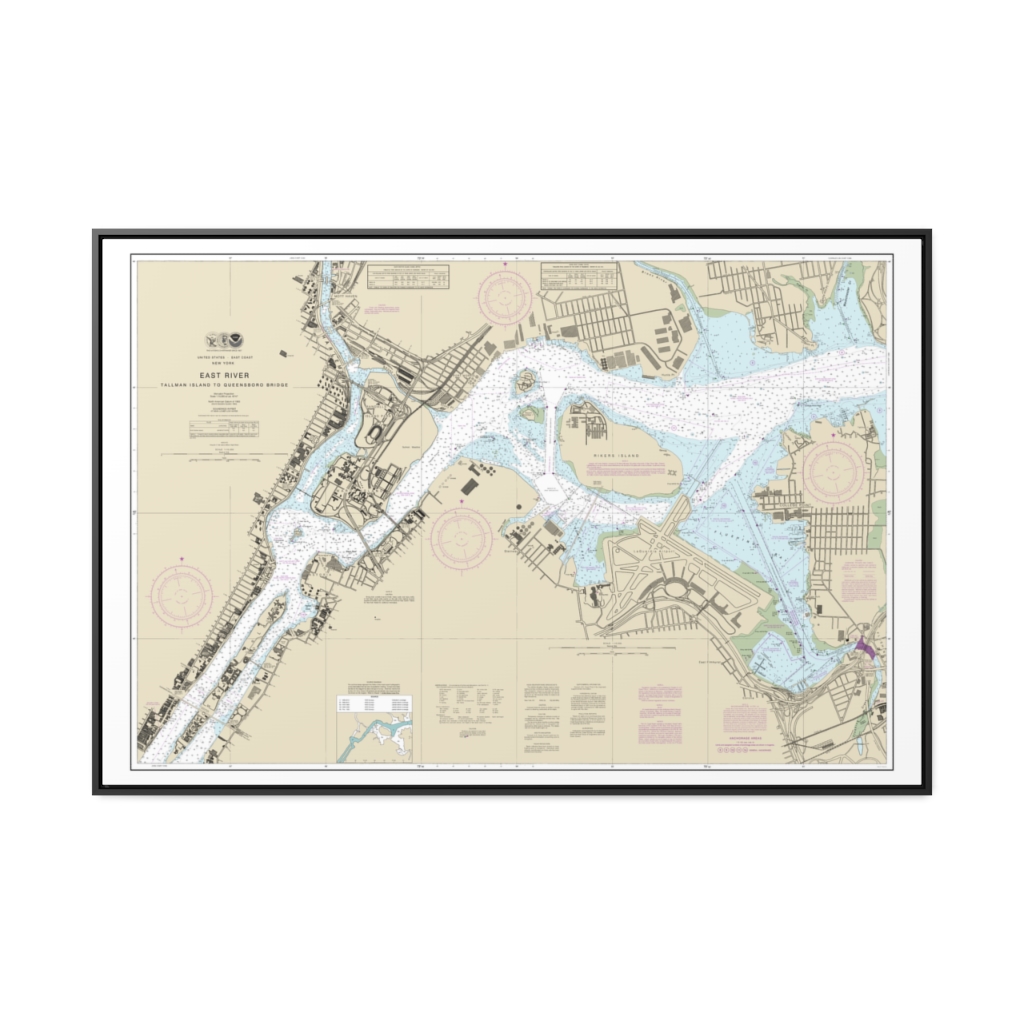
East River Tallman Island to Queensboro Bridge Nautical Chart 12339 – Floating Frame Canvas
From: $164.95PREMIUM FLOATING FRAME CANVASDistance from your search: 2868.1mi -
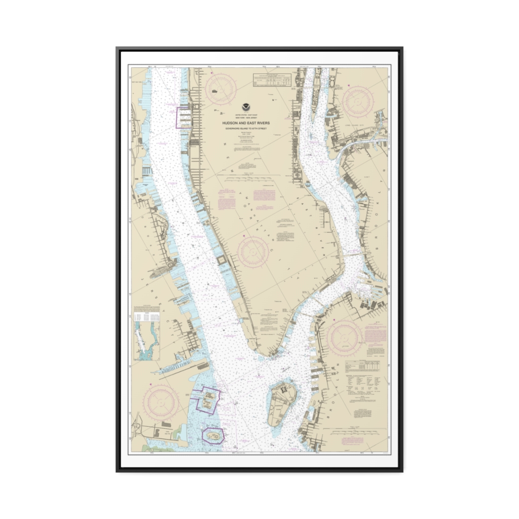
Hudson and East Rivers Governors Island to 67th Street Nautical Chart 12335 – Floating Frame Canvas
From: $164.95PREMIUM FLOATING FRAME CANVASDistance from your search: 2868.1mi -
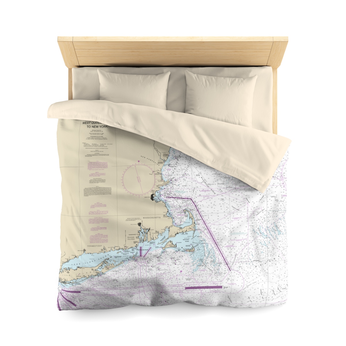
New York to Maine with Cape Cod Nautical Chart Microfiber Duvet Cover
$169.95$118.97 Save 30% Sale!Distance from your search: 2868.4mi -
Distance from your search: 2868.4mi
-
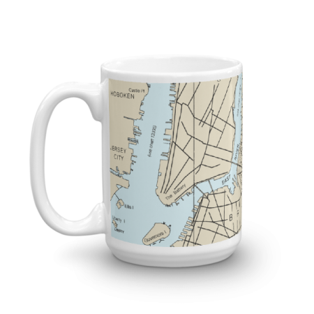
 11oz From $14.21 15oz From $16.46
The Battery Chart Mug
From: $18.95MIX, MATCH & SAVE! UP TO 25% OFFDistance from your search: 2868.4mi -
 11oz From $14.21 15oz From $16.46
The Battery with Liberty Island Chart Mug
From: $18.95MIX, MATCH & SAVE! UP TO 25% OFFDistance from your search: 2868.4mi -
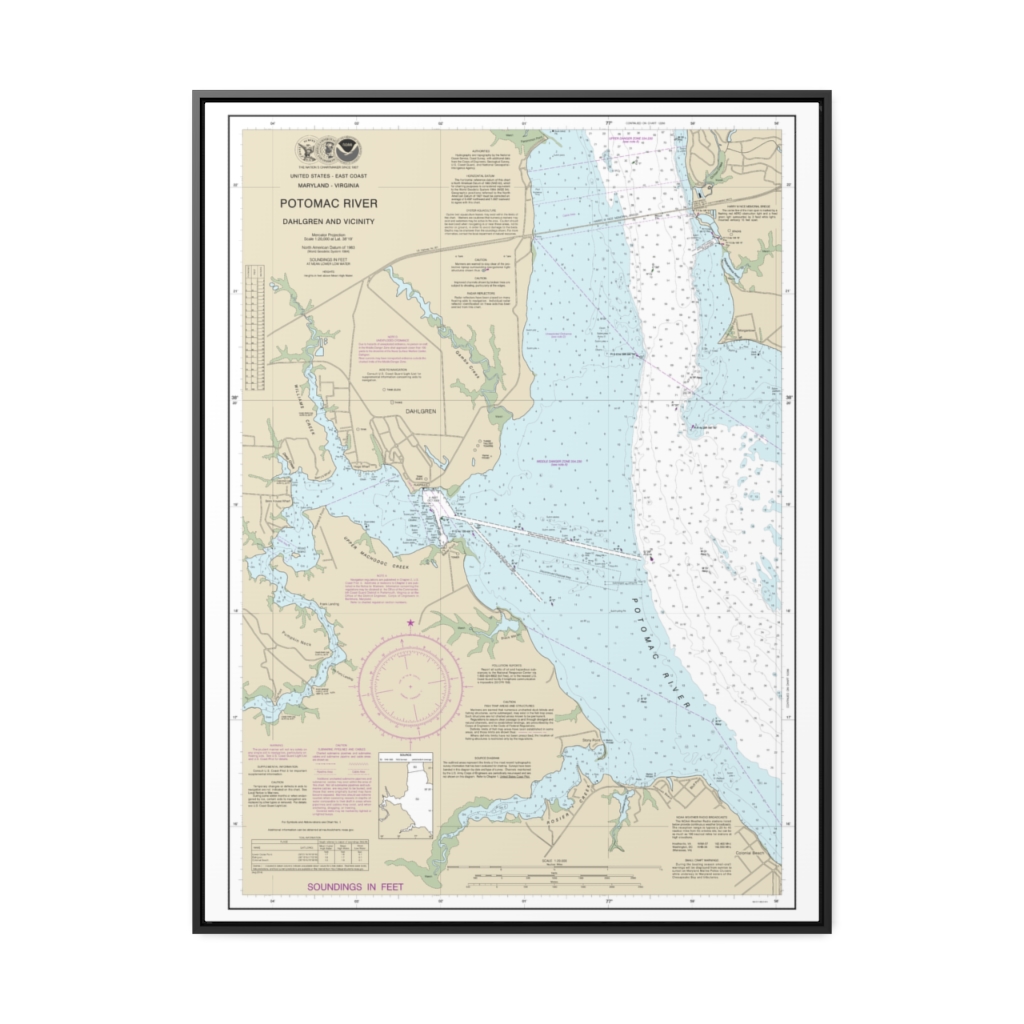
Potomac River Dahlgren and Vicinity Nautical Chart 12287 – Floating Frame Canvas
From: $184.95PREMIUM FLOATING FRAME CANVASDistance from your search: 2868.7mi -
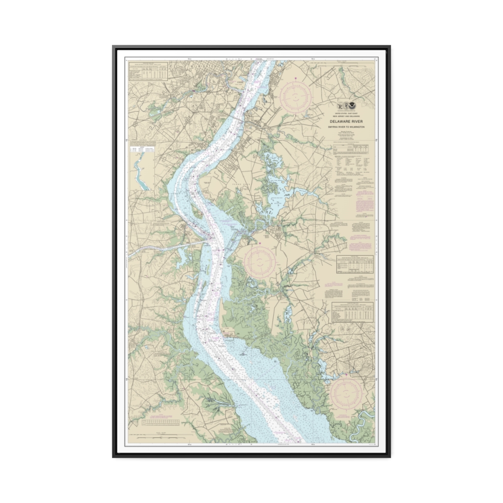
Delaware River Smyrna River to Wilmington Nautical Chart 12311 – Floating Frame Canvas
From: $164.95PREMIUM FLOATING FRAME CANVASDistance from your search: 2869.6mi -
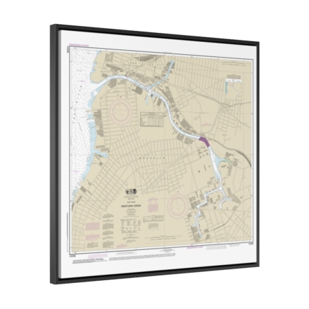
East River Newtown Creek Nautical Chart 12338 – Floating Frame Canvas
From: $139.95PREMIUM FLOATING FRAME CANVASDistance from your search: 2870.1mi -
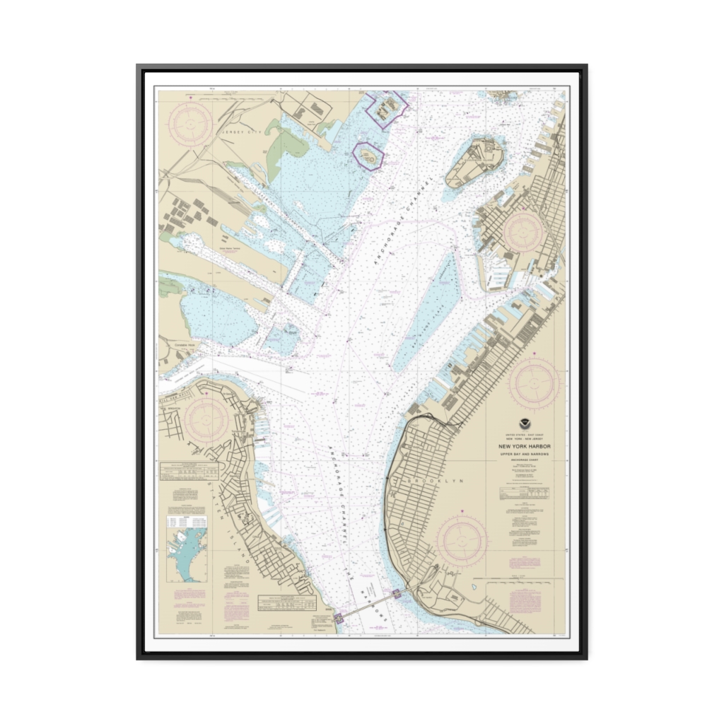
New York Harbor Upper Bay and Narrows-Anchorage Chart Nautical Chart 12334 – Floating Frame Canvas
From: $184.95PREMIUM FLOATING FRAME CANVASDistance from your search: 2870.2mi -
 11oz From $14.21 15oz From $16.46
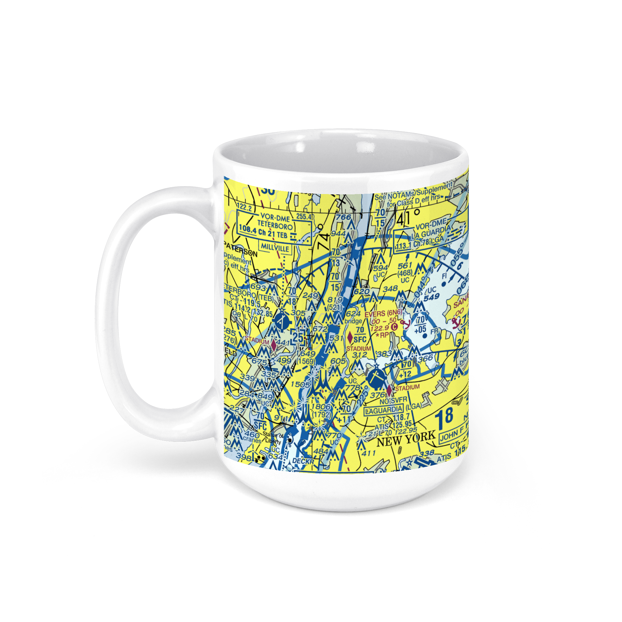
LaGuardia Airport (LGA), Queens, NY, USA FAA Sectional Aeronautical Charts Chart Mug
From: $18.95MIX, MATCH & SAVE! UP TO 25% OFFDistance from your search: 2870.4mi -
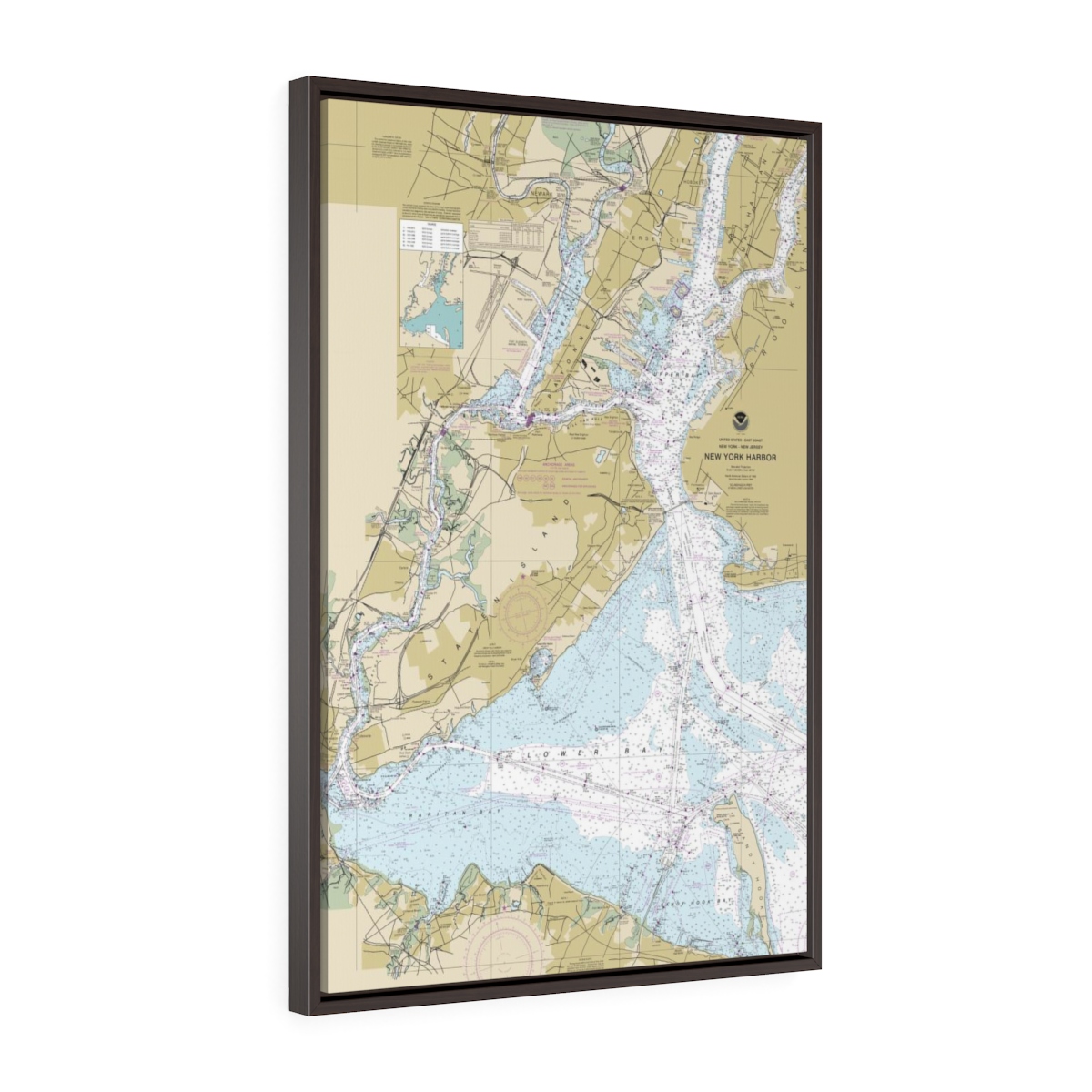
New York City (NYC) Harbor Entrance Floating Frame Canvas Nautical Chart
From: $82.00PREMIUM FLOATING FRAME CANVASDistance from your search: 2870.5mi -
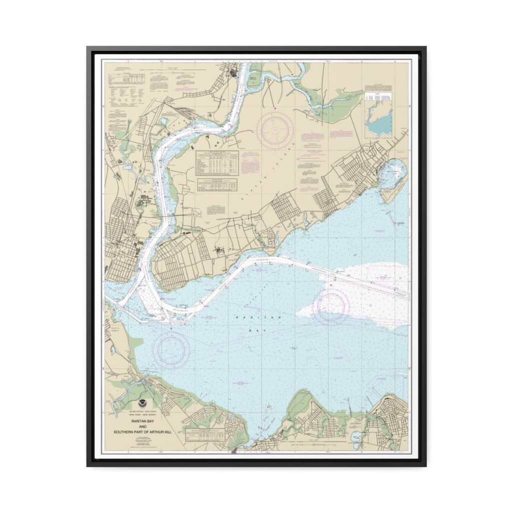
Raritan Bay and Southern Part of Arthur Kill Nautical Chart 12331 – Floating Frame Canvas
From: $184.95PREMIUM FLOATING FRAME CANVASDistance from your search: 2871.1mi -
Distance from your search: 2871.3mi
-
Distance from your search: 2871.5mi
-
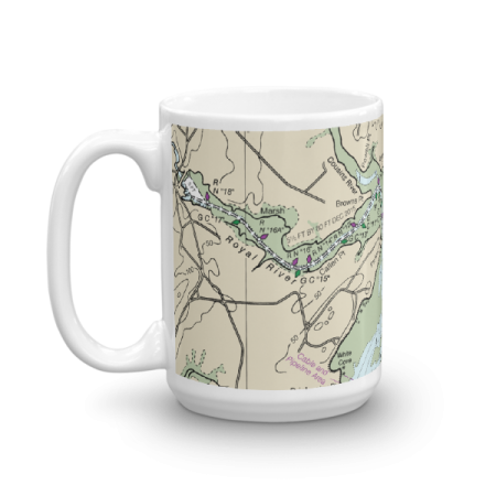 11oz From $14.21 15oz From $16.46
Royal River Moshier Island Chart Mug
From: $18.95MIX, MATCH & SAVE! UP TO 25% OFFDistance from your search: 2871.5mi -
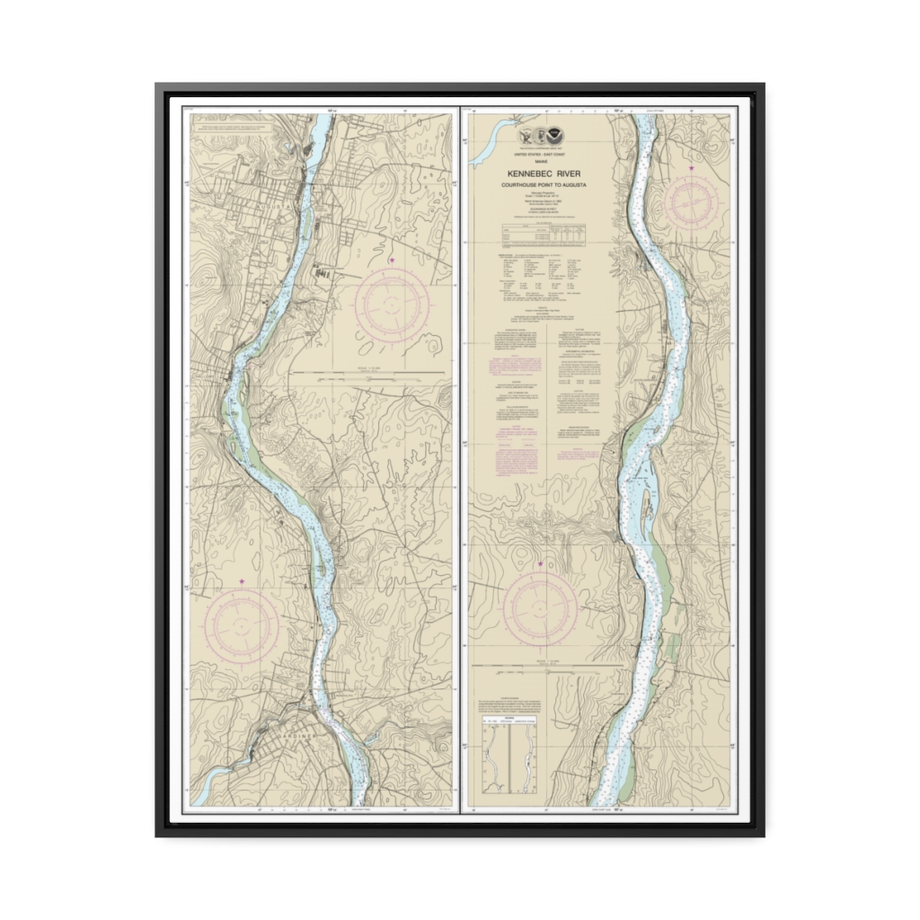
Kennebec River Courthouse Point to Augusta Nautical Chart 13297 – Floating Frame Canvas
From: $184.95PREMIUM FLOATING FRAME CANVASDistance from your search: 2871.6mi -
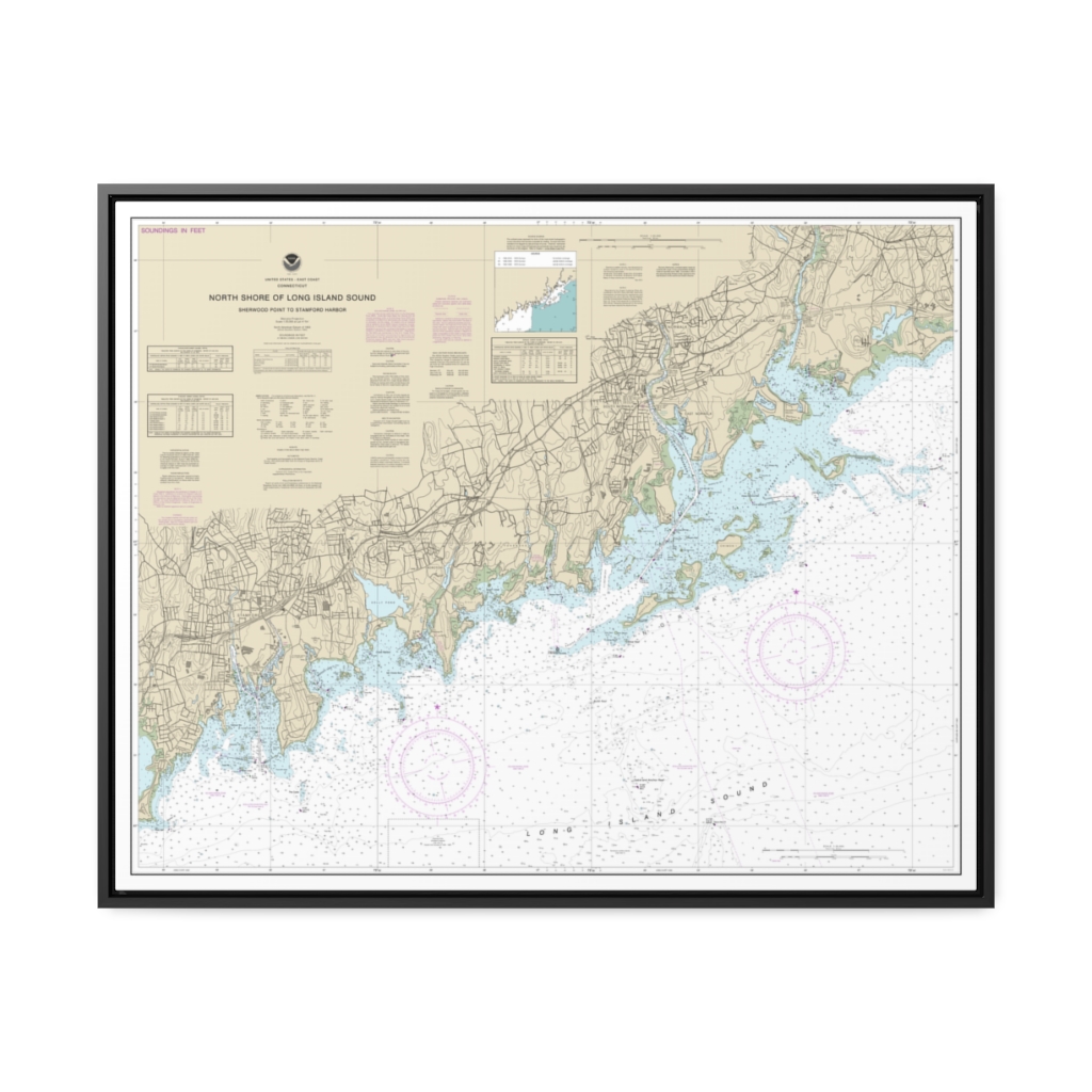
North Shore of Long Island Sound Sherwood Point to Stamford Harbor Nautical Chart 12368 – Floating Frame Canvas
From: $184.95PREMIUM FLOATING FRAME CANVASDistance from your search: 2871.8mi -
Distance from your search: 2871.9mi
-
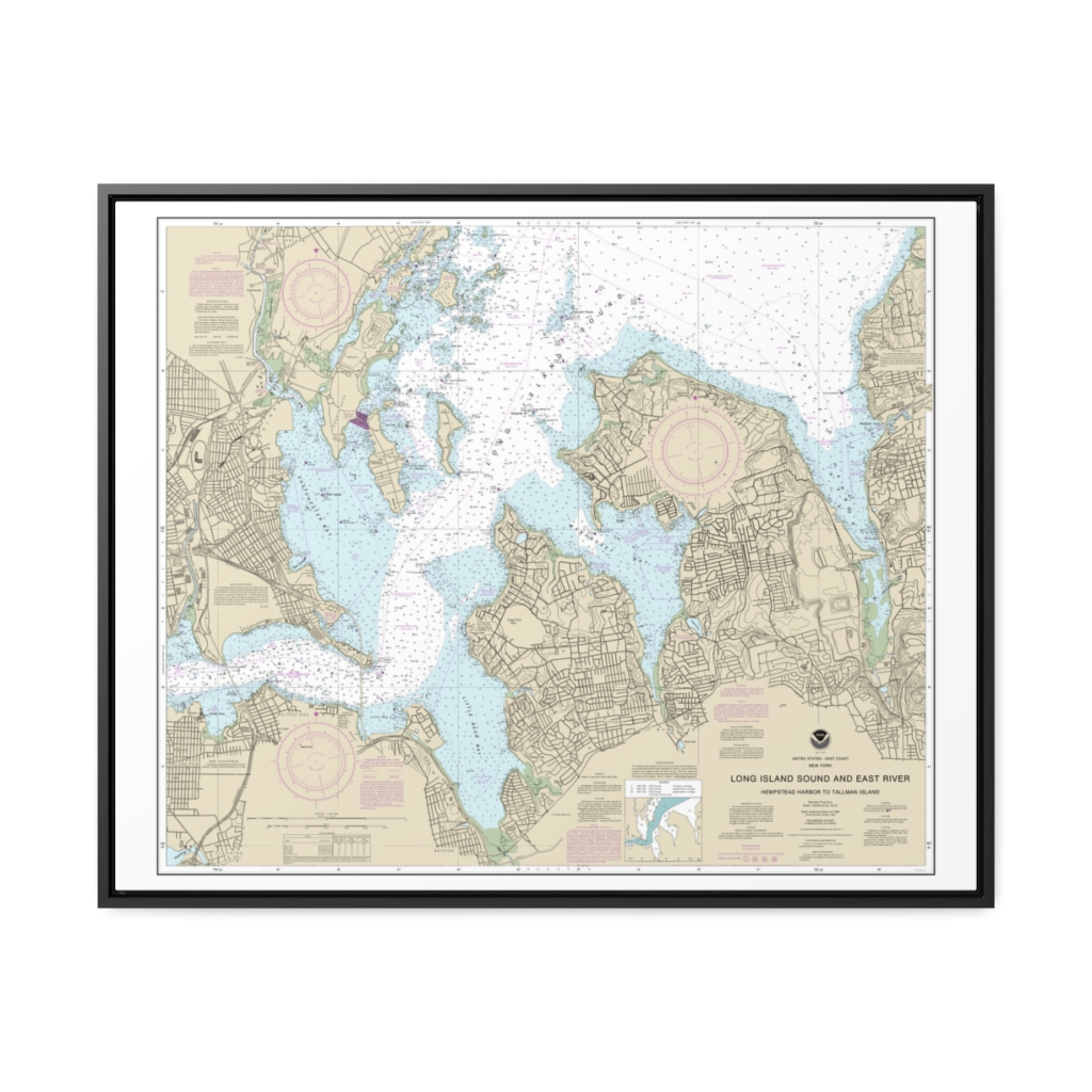
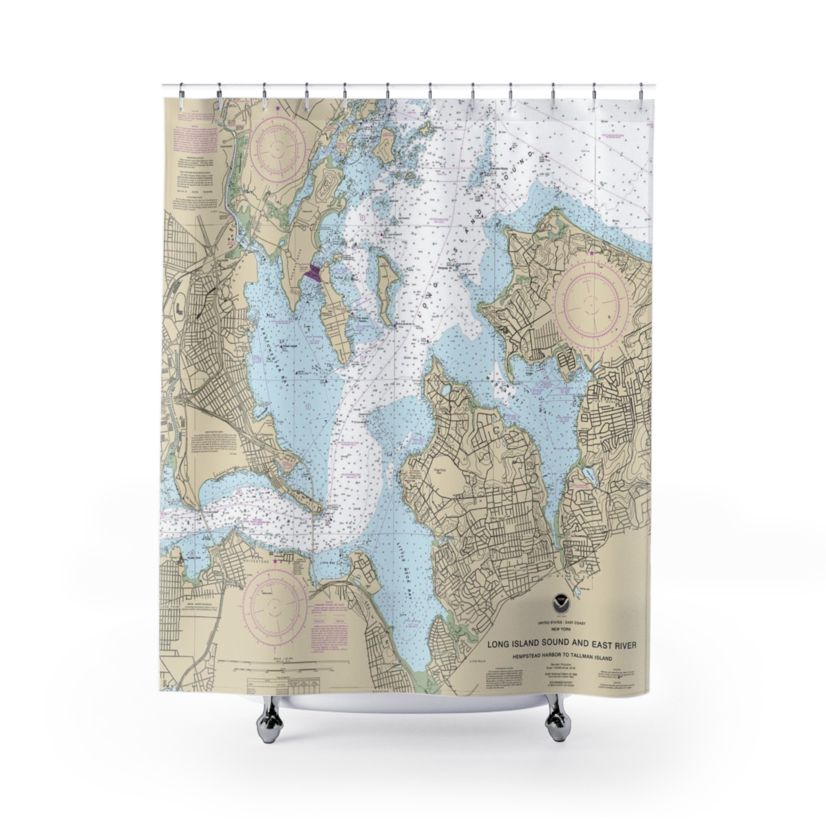
Long Island Sound and East River Hempstead Harbor to Tallman Island Nautical Chart 12366 – Floating Frame Canvas
From: $184.95PREMIUM FLOATING FRAME CANVASDistance from your search: 2872.1mi -
Distance from your search: 2872.1mi
-
 11oz From $14.21 15oz From $16.46
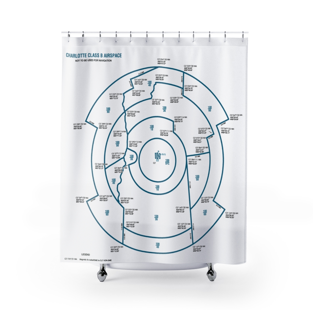
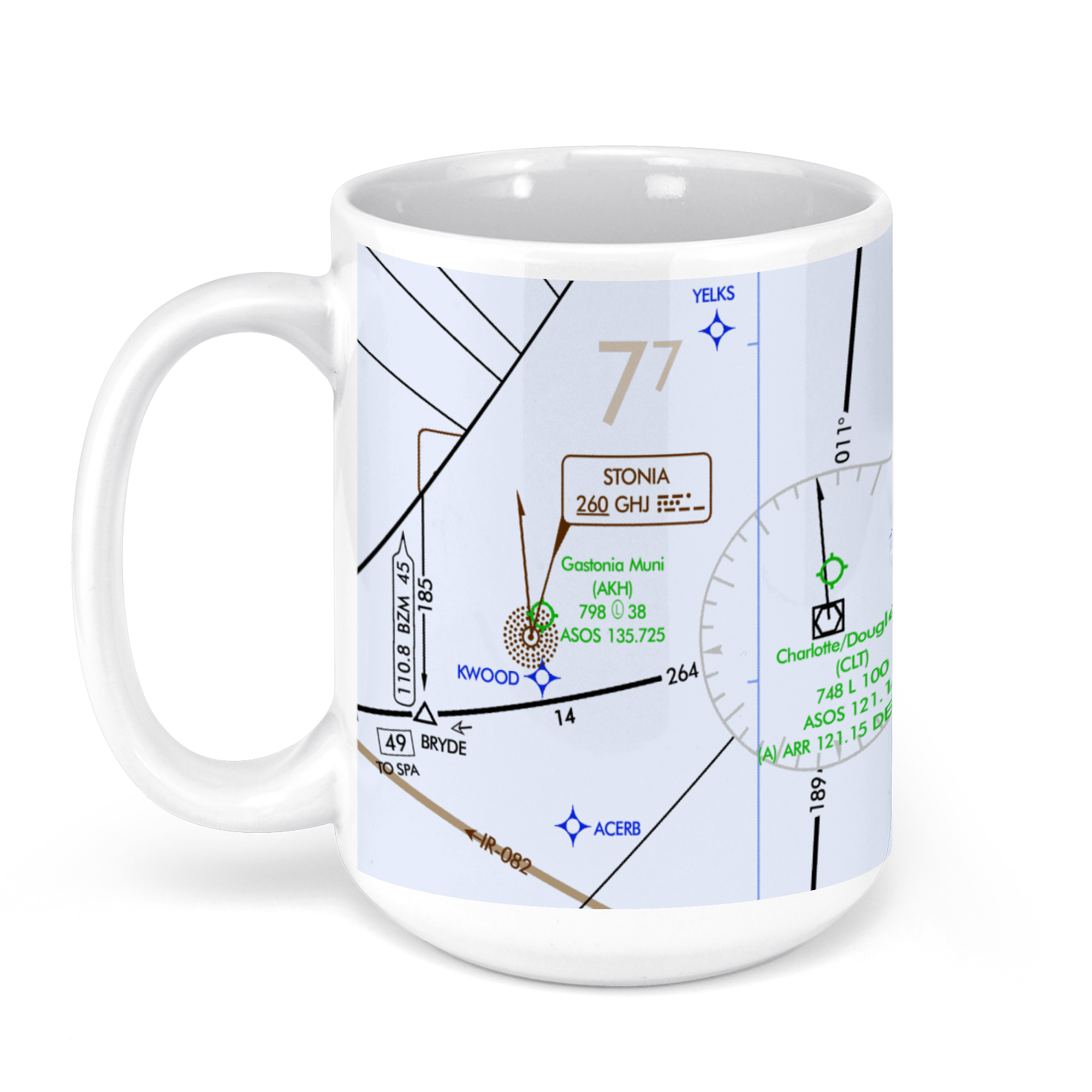
Charlotte Douglas International Airport (CLT), Josh Birmingham Parkway, Charlotte, NC, USA FAA Aeronautical US IFR Enroute Low Charts Chart Mug
From: $18.95MIX, MATCH & SAVE! UP TO 25% OFFDistance from your search: 2872.1mi