- Display 24 Products per page
-
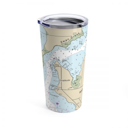
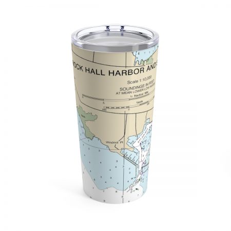
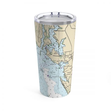
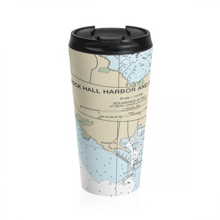
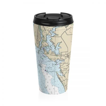
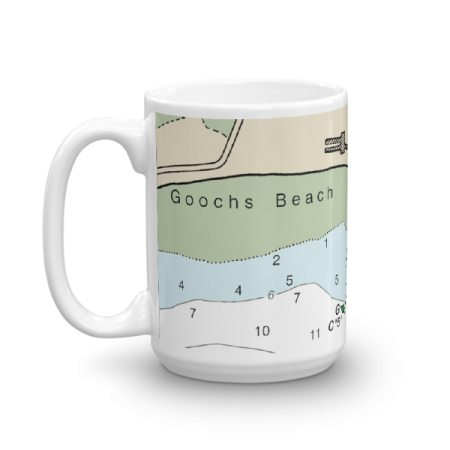 11oz From $14.21 15oz From $16.46
Goochs Beach Chart Mug
From: $18.95MIX, MATCH & SAVE! UP TO 25% OFFDistance from your search: 2860.8mi -
Distance from your search: 2860.8mi
-
Distance from your search: 2860.8mi
-
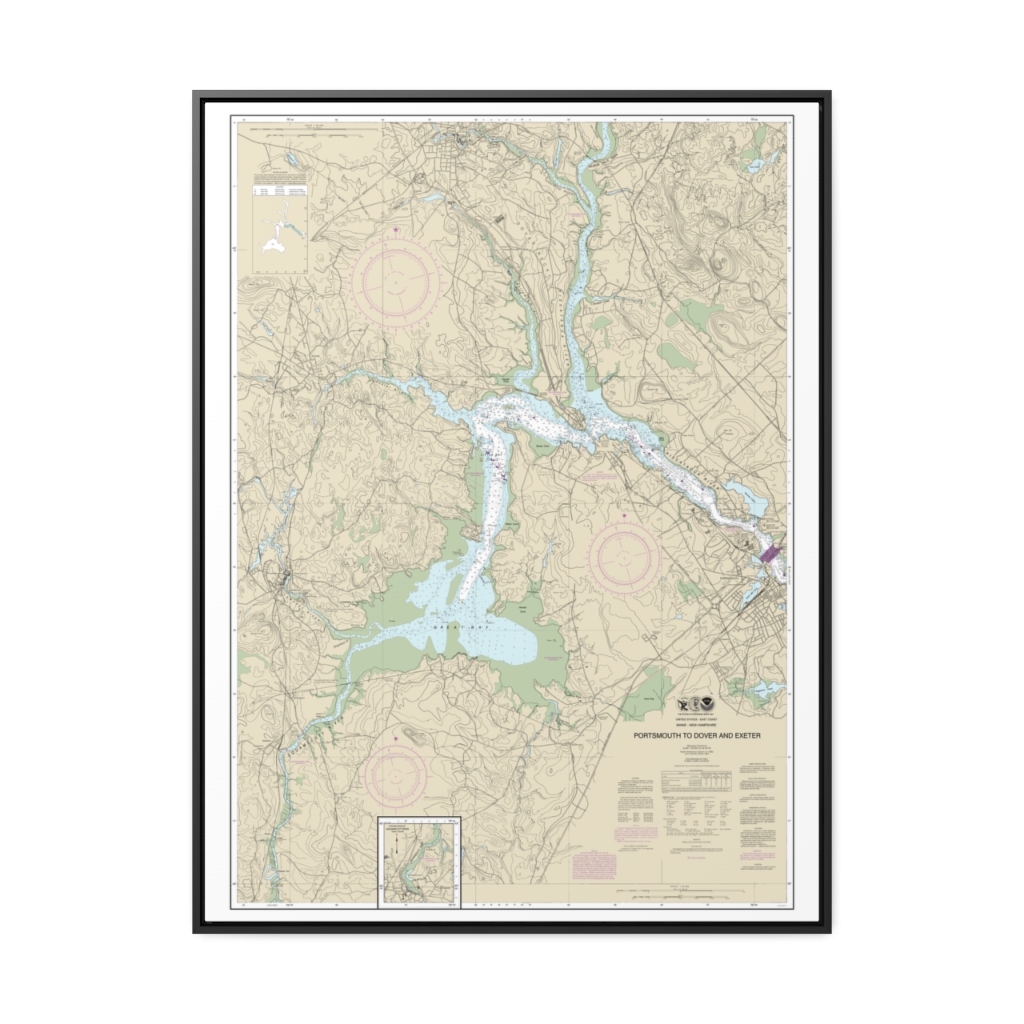
Portsmouth to Dover and Exeter Nautical Chart 13285 – Floating Frame Canvas
From: $184.95PREMIUM FLOATING FRAME CANVASDistance from your search: 2861mi -
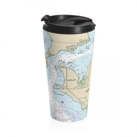
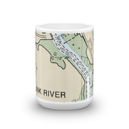 11oz From $14.21 15oz From $16.46
Kennebunk River Chart Mug
From: $18.95MIX, MATCH & SAVE! UP TO 25% OFFDistance from your search: 2861.1mi -
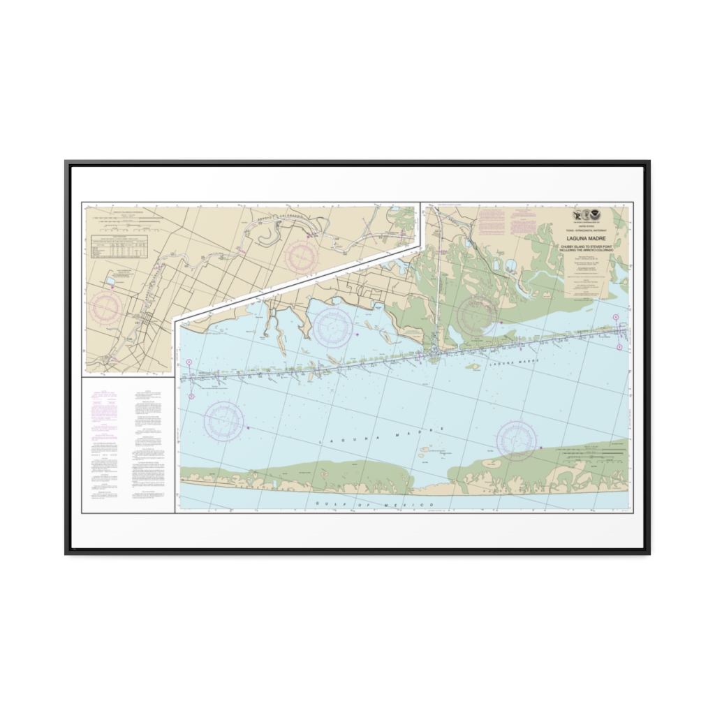
Intracoastal Waterway Laguna Madre – Chubby Island to Stover Point, including The Arroyo Colorado Nautical Chart 11303 – Floating Frame Canvas
From: $164.95PREMIUM FLOATING FRAME CANVASDistance from your search: 2861.1mi -
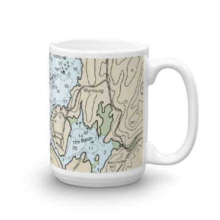
 11oz From $14.21 15oz From $16.46
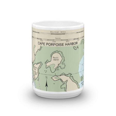
Cape Porpoise Chart Mug
From: $18.95MIX, MATCH & SAVE! UP TO 25% OFFDistance from your search: 2861.2mi -
Distance from your search: 2861.2mi
-
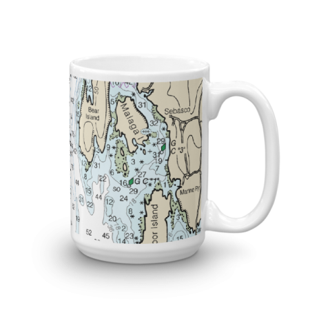
 11oz From $14.21 15oz From $16.46
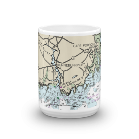
Kennebunkport Cape Porpoise Chart Mug
From: $18.95MIX, MATCH & SAVE! UP TO 25% OFFDistance from your search: 2861.2mi -
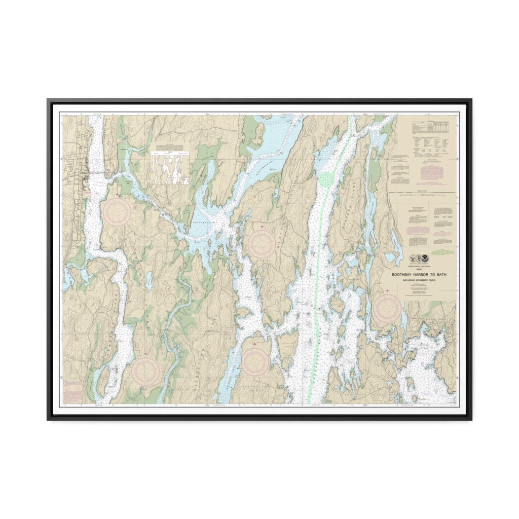
Boothbay Harbor to Bath, Including Kennebec River Nautical Chart 13296 – Floating Frame Canvas
From: $184.95PREMIUM FLOATING FRAME CANVASDistance from your search: 2861.3mi -
 11oz From $14.21 15oz From $16.46
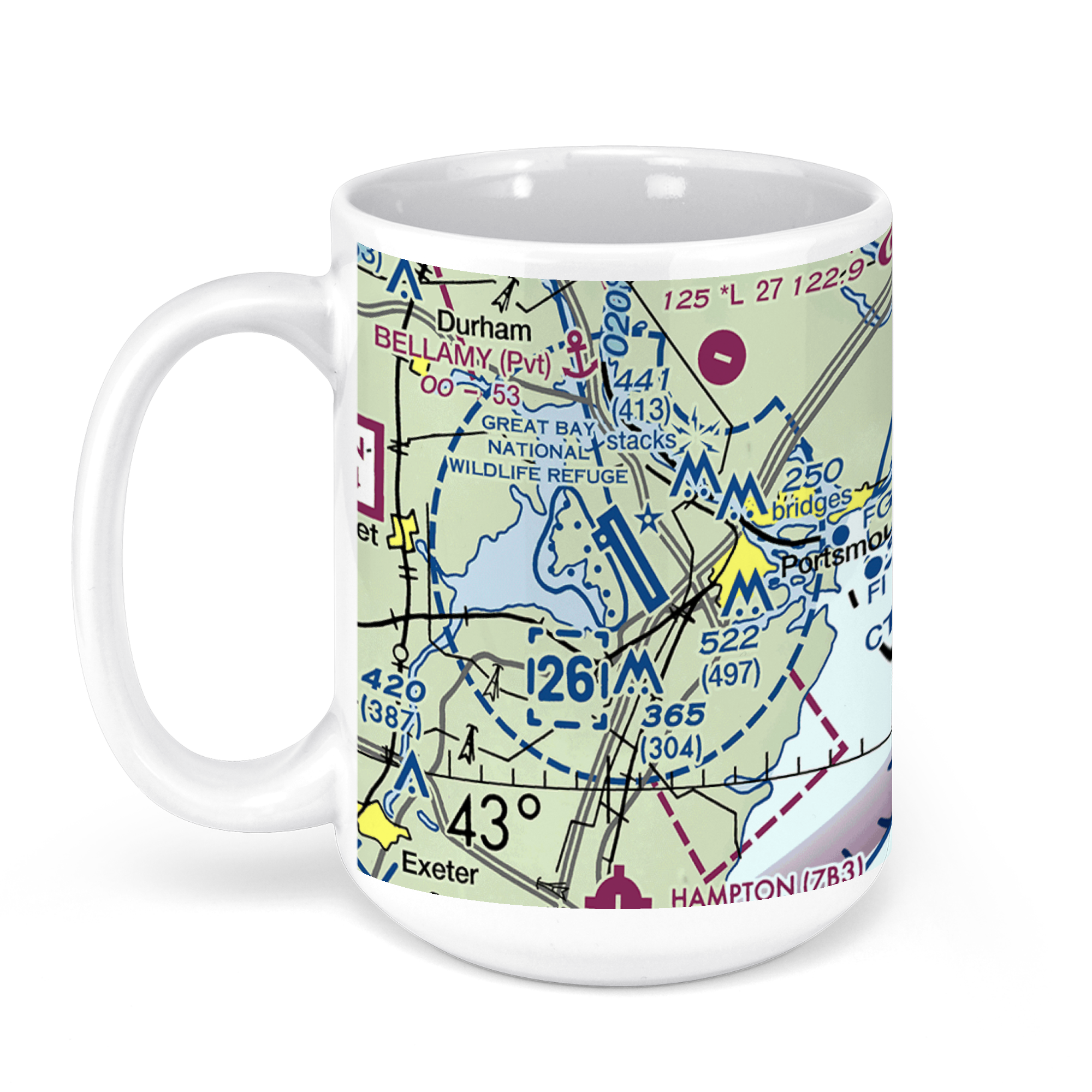
Portsmouth International Airport at Pease, Airline Avenue, Portsmouth, NH, USA FAA Sectional Aeronautical Charts Chart Mug
From: $18.95MIX, MATCH & SAVE! UP TO 25% OFFDistance from your search: 2861.6mi -
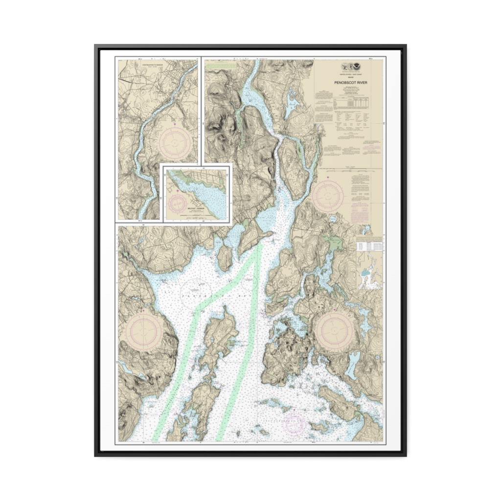
Penobscot River Belfast Harbor Nautical Chart 13309 – Floating Frame Canvas
From: $184.95PREMIUM FLOATING FRAME CANVASDistance from your search: 2861.7mi -
 11oz From $14.21 15oz From $16.46
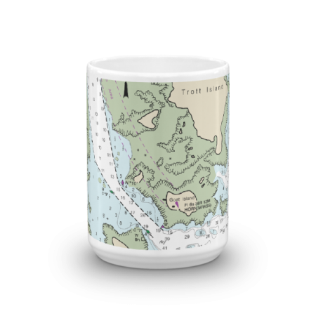
Cape Porpoise Harbor Entrance Trott Island Chart Mug
From: $18.95MIX, MATCH & SAVE! UP TO 25% OFFDistance from your search: 2861.8mi -
Distance from your search: 2861.8mi
-
Distance from your search: 2861.9mi
-
Distance from your search: 2861.9mi
-
Distance from your search: 2861.9mi
-
Distance from your search: 2861.9mi
-
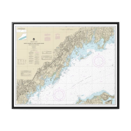
North Shore of Long Island Sound Greenwich Point to New Rochelle Nautical Chart 12367 – Floating Frame Canvas
From: $184.95PREMIUM FLOATING FRAME CANVASDistance from your search: 2861.9mi -
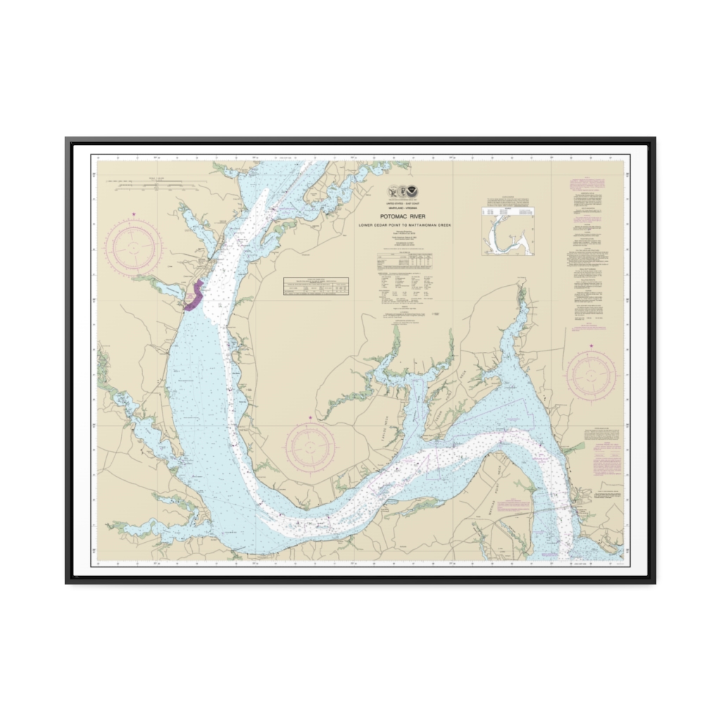
Potomac River Lower Cedar Point to Mattawoman Creek Nautical Chart 12288 – Floating Frame Canvas
From: $184.95PREMIUM FLOATING FRAME CANVASDistance from your search: 2861.9mi -
 11oz From $14.21 15oz From $16.46
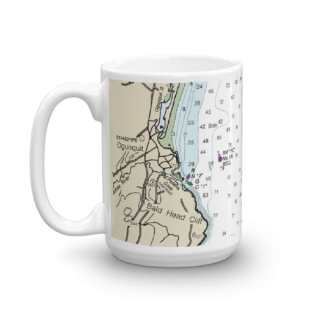
Perkins Cove Chart Mug
From: $18.95MIX, MATCH & SAVE! UP TO 25% OFFDistance from your search: 2862.2mi -
Distance from your search: 2862.2mi
-
 11oz From $14.21 15oz From $16.46
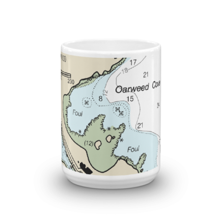
Perkins Cove The Basin Oarweed Cove Chart Mug
From: $18.95MIX, MATCH & SAVE! UP TO 25% OFFDistance from your search: 2862.2mi -
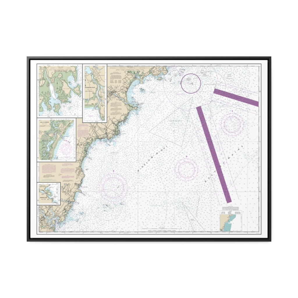
Cape Elizabeth to Portsmouth Cape Porpoise Harbor Wells Harbor Kennebunk River Perkins Cove Nautical Chart 13286 – Floating Frame Canvas
From: $184.95PREMIUM FLOATING FRAME CANVASDistance from your search: 2862.4mi