- Display 24 Products per page
-
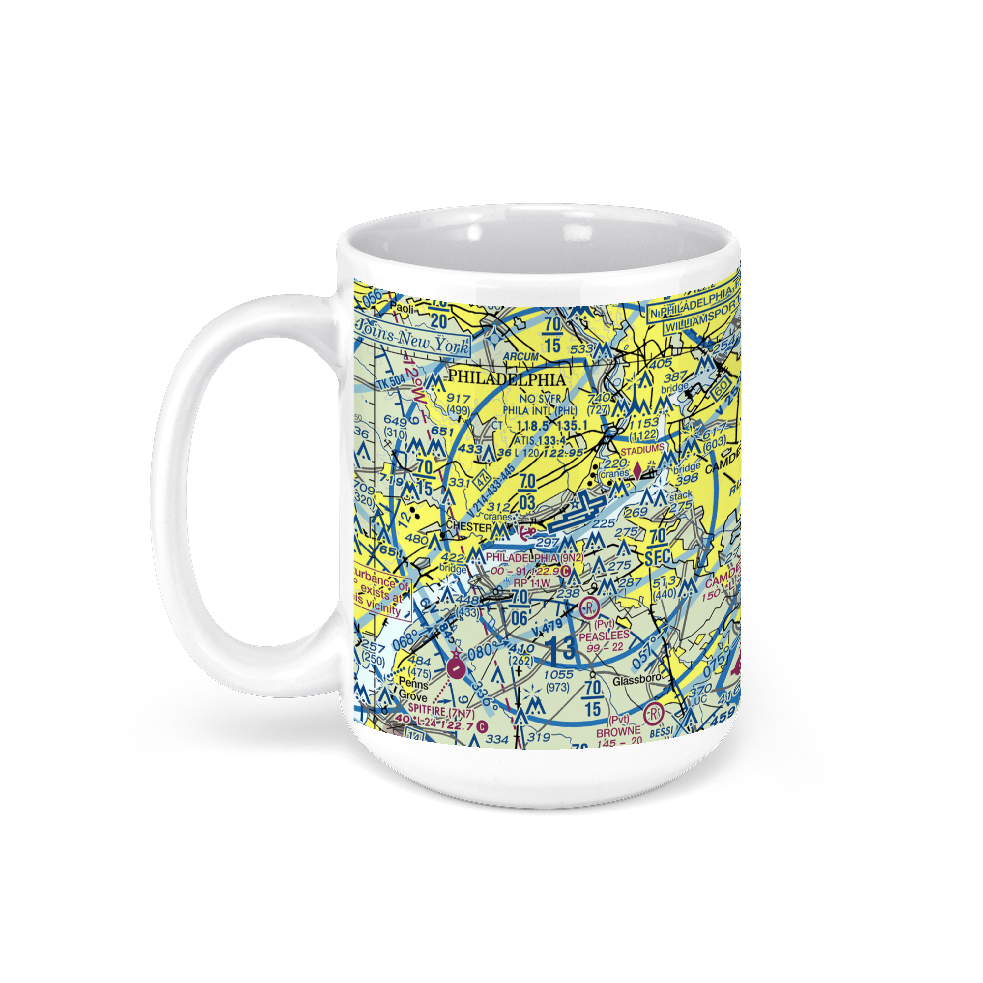 11oz From $14.21 15oz From $16.46
Philadelphia International Airport (PHL), Essington Ave, Philadelphia, PA, USA FAA Sectional Aeronautical Charts Chart Mug
From: $18.95MIX, MATCH & SAVE! UP TO 25% OFFDistance from your search: 2414.6mi -
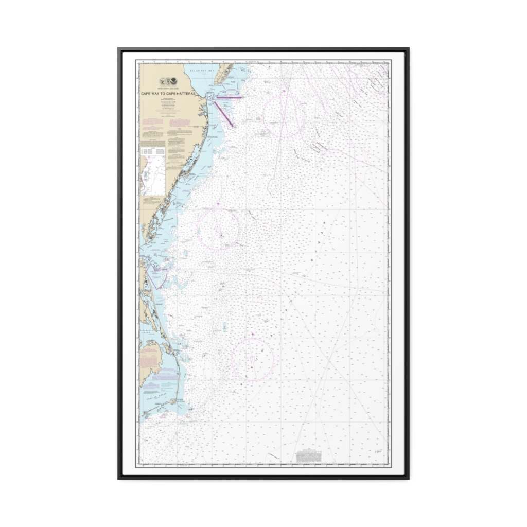
Cape May to Cape Hatteras Nautical Chart 12200 – Floating Frame Canvas
From: $164.95PREMIUM FLOATING FRAME CANVASDistance from your search: 2415.6mi -
Distance from your search: 2415.9mi
-
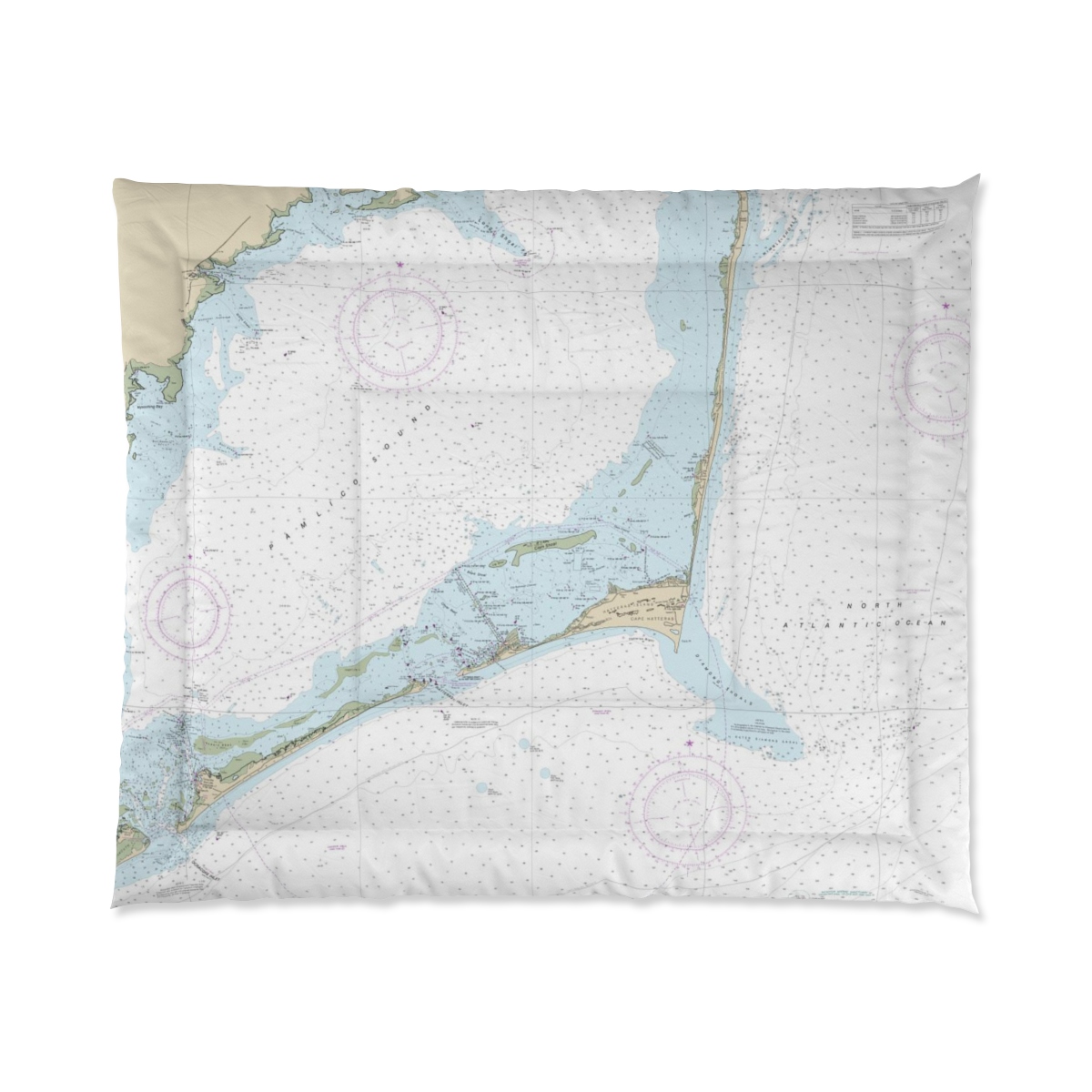
 11oz From $14.21 15oz From $16.46
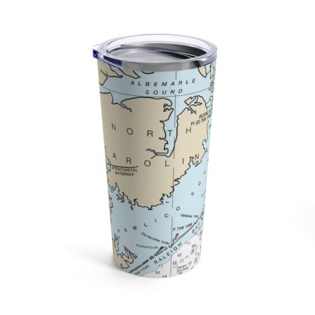
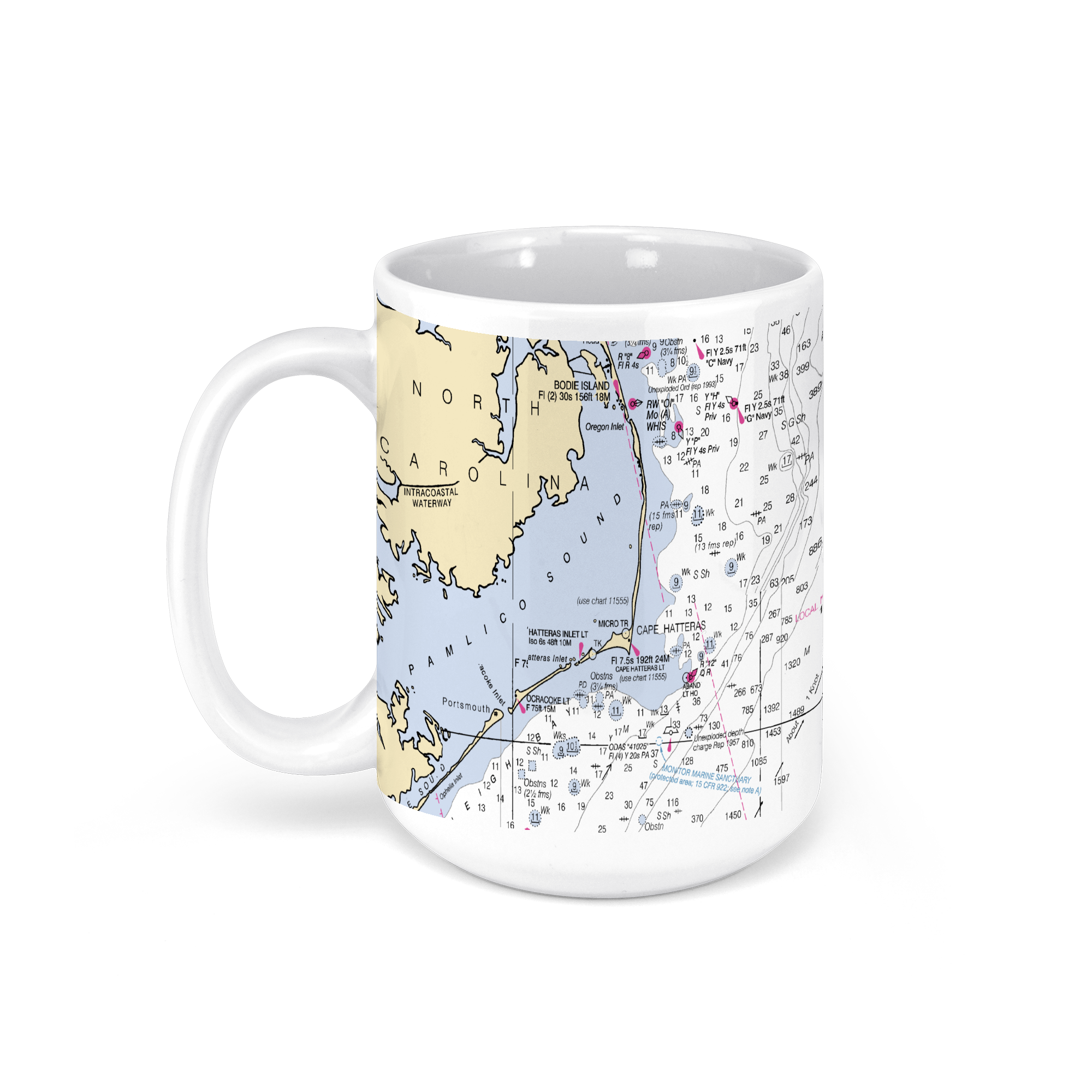
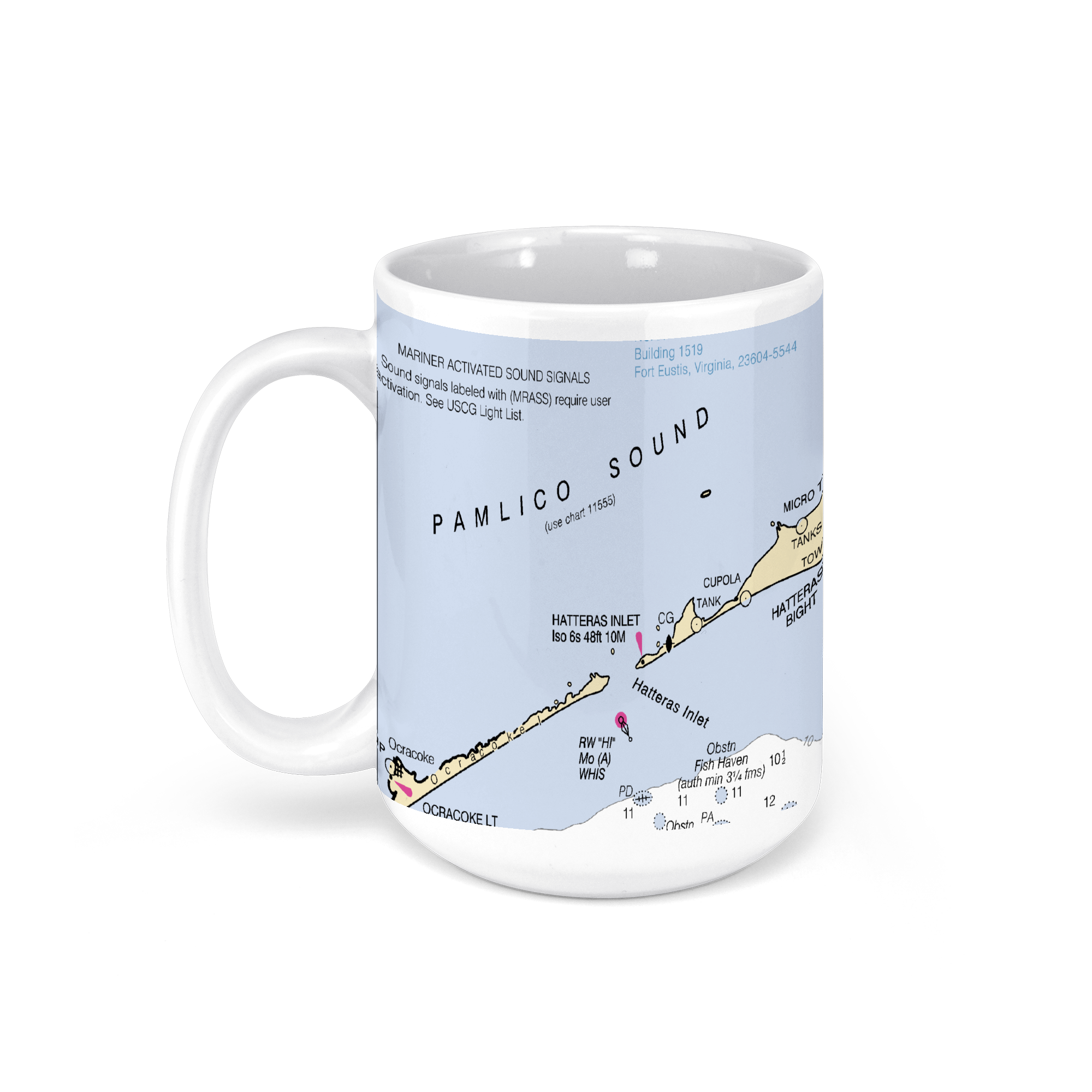
Pamlico Sound, North Carolina, USA & Cape Hatteras NOAA Nautical Charts Chart Mug
From: $18.95MIX, MATCH & SAVE! UP TO 25% OFFDistance from your search: 2415.9mi -
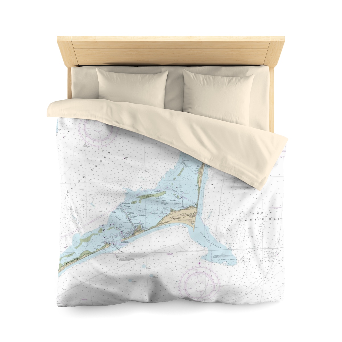
 11oz From $14.21 15oz From $16.46
Pamlico Sound, North Carolina, USA NOAA Nautical Charts Chart Mug
From: $18.95MIX, MATCH & SAVE! UP TO 25% OFFDistance from your search: 2415.9mi -
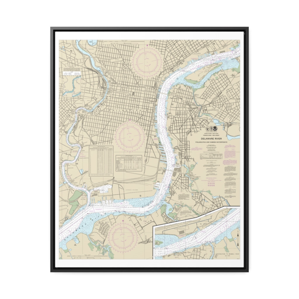
Philadelphia and Camden Waterfronts Nautical Chart 12313 – Floating Frame Canvas
From: $184.95PREMIUM FLOATING FRAME CANVASDistance from your search: 2416mi -
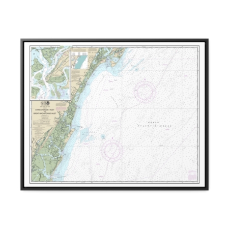
Chincoteague Inlet to Great Machipongo Inlet Chincoteague Inlet Nautical Chart 12210 – Floating Frame Canvas
From: $184.95PREMIUM FLOATING FRAME CANVASDistance from your search: 2416mi -
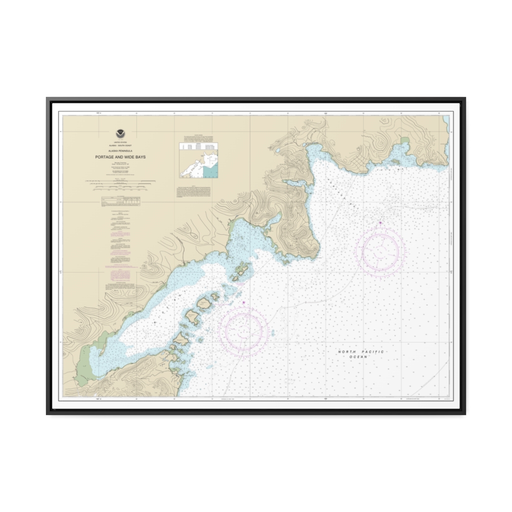
Portage and Wide Bays, Alaska Pen. Nautical Chart 16570 – Floating Frame Canvas
From: $184.95PREMIUM FLOATING FRAME CANVASDistance from your search: 2421.4mi -
Cape May to Fenwick Island Nautical Chart 12214 – Floating Frame Canvas
From: $184.95PREMIUM FLOATING FRAME CANVASDistance from your search: 2421.7mi -
Distance from your search: 2422.7mi
-
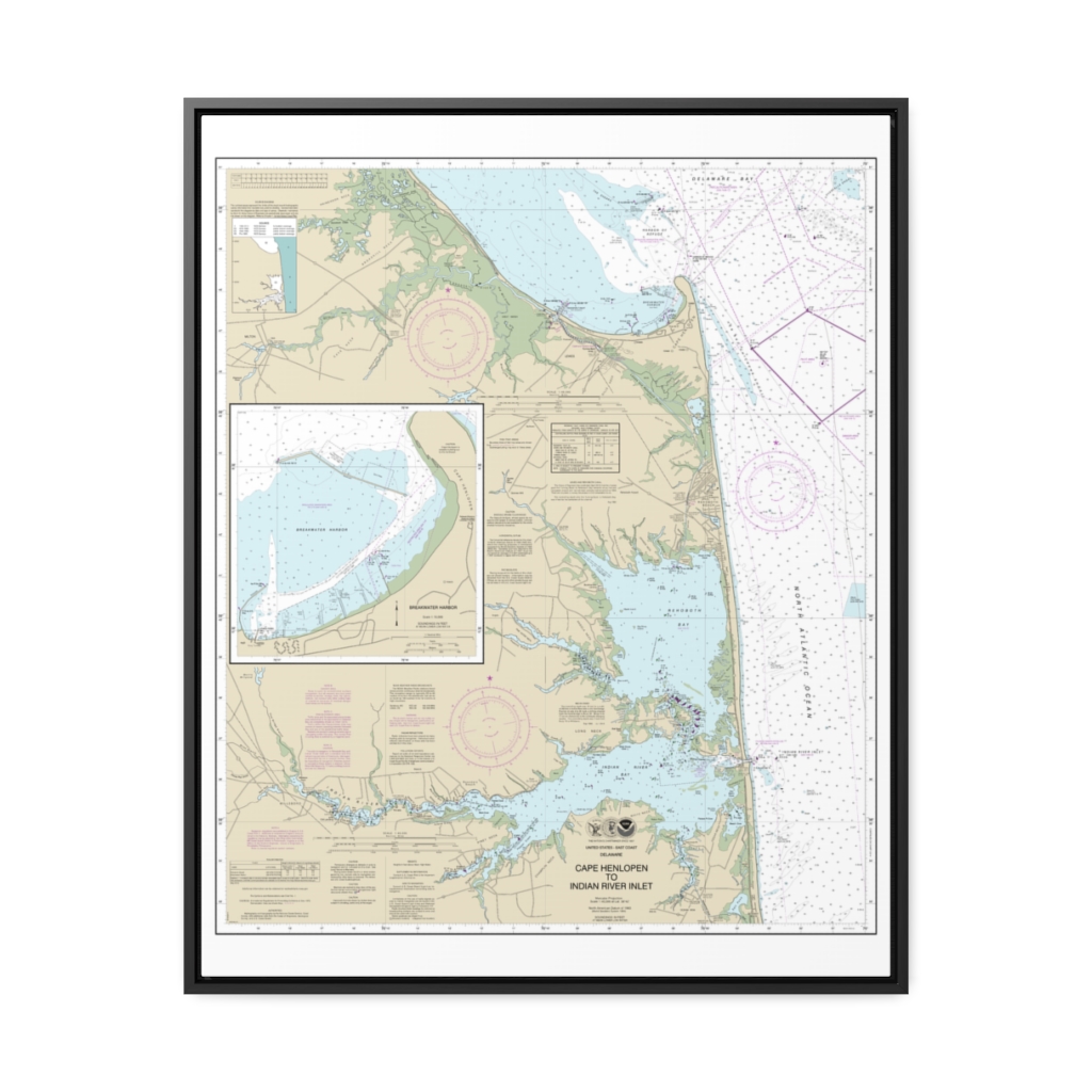
Cape Henlopen to Indian River Inlet;Breakwater Harbor Nautical Chart 12216 – Floating Frame Canvas
From: $184.95PREMIUM FLOATING FRAME CANVASDistance from your search: 2426.5mi -
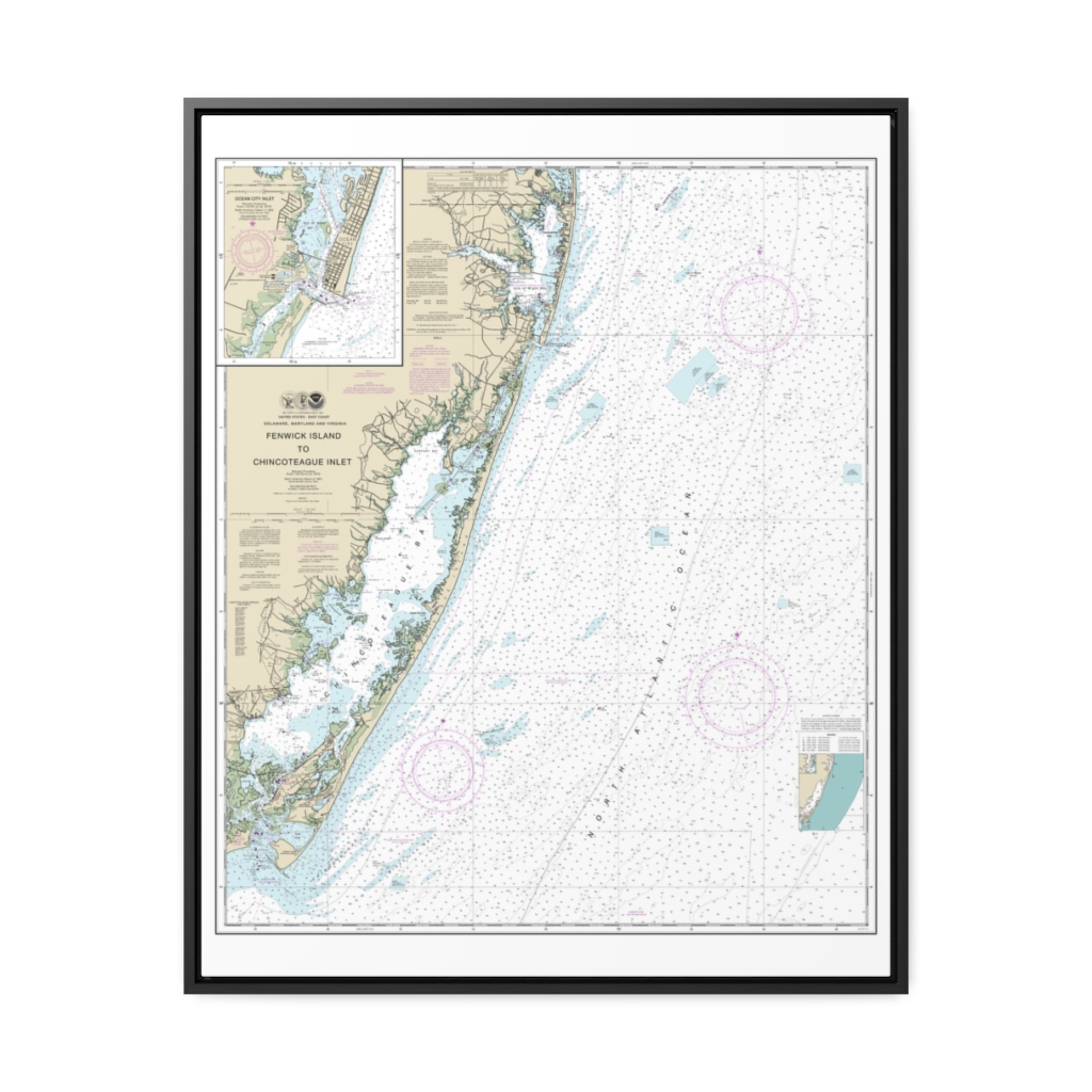
Fenwick Island to Chincoteague Inlet;Ocean City Inlet Nautical Chart 12211 – Floating Frame Canvas
From: $184.95PREMIUM FLOATING FRAME CANVASDistance from your search: 2429.6mi -
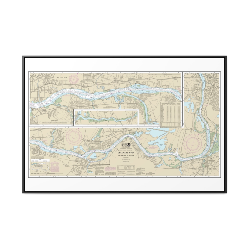
Delaware River Philadelphia to Trenton Nautical Chart 12314 – Floating Frame Canvas
From: $164.95PREMIUM FLOATING FRAME CANVASDistance from your search: 2429.7mi -
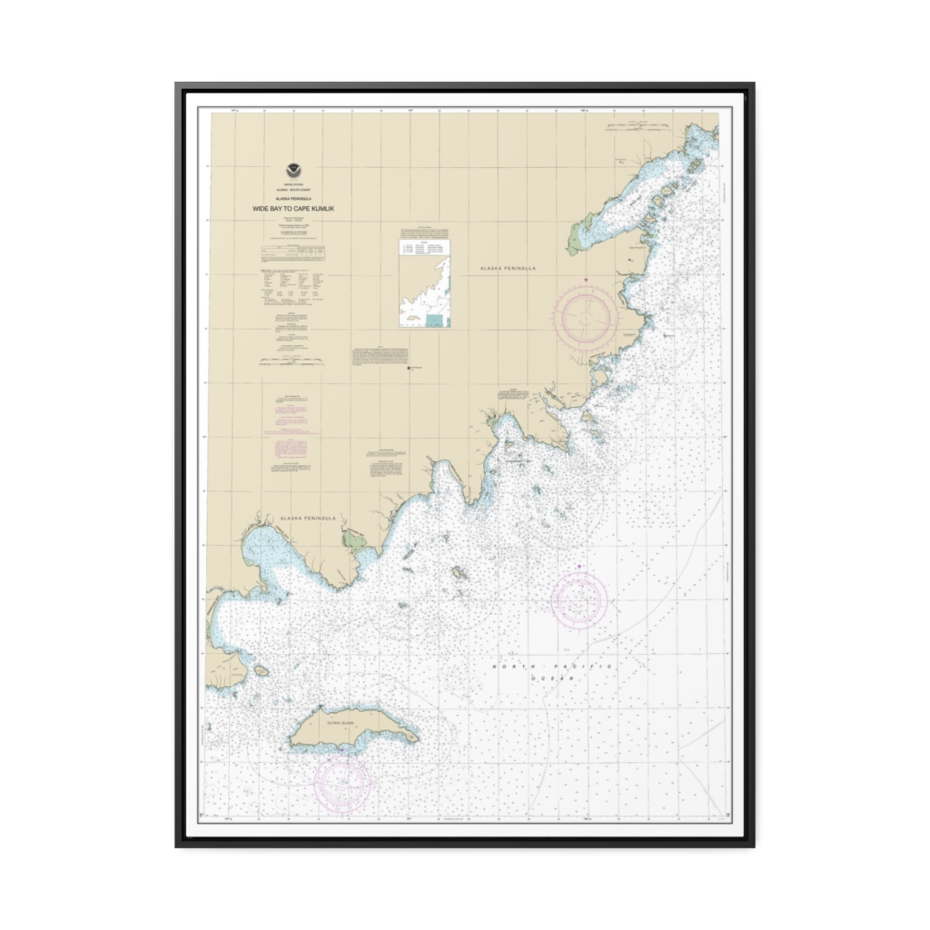
Wide Bay to Cape Kumlik, Alaska Pen. Nautical Chart 16568 – Floating Frame Canvas
From: $184.95PREMIUM FLOATING FRAME CANVASDistance from your search: 2430.2mi -
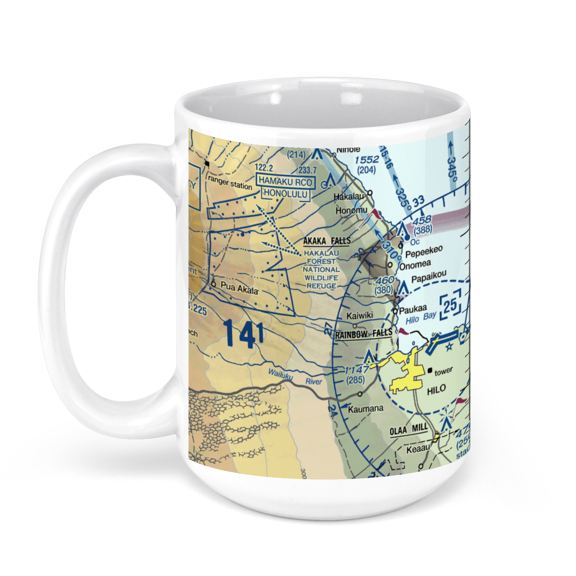 11oz From $14.21 15oz From $16.46
Hilo International Airport-Ito (ITO), Kekuanaoa Street, Hilo, HI, USA FAA Sectional Aeronautical Charts Chart Mug
From: $18.95MIX, MATCH & SAVE! UP TO 25% OFFDistance from your search: 2433mi -
Distance from your search: 2434.9mi
-
Distance from your search: 2434.9mi
-
Distance from your search: 2434.9mi
-
Distance from your search: 2434.9mi
-
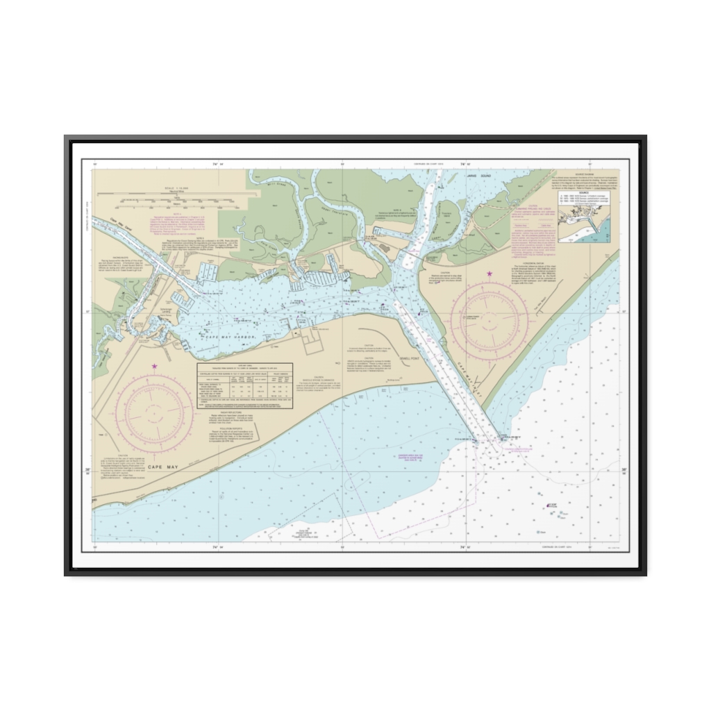
Cape May Harbor Nautical Chart 12317 – Floating Frame Canvas
From: $184.95PREMIUM FLOATING FRAME CANVASDistance from your search: 2436.6mi -
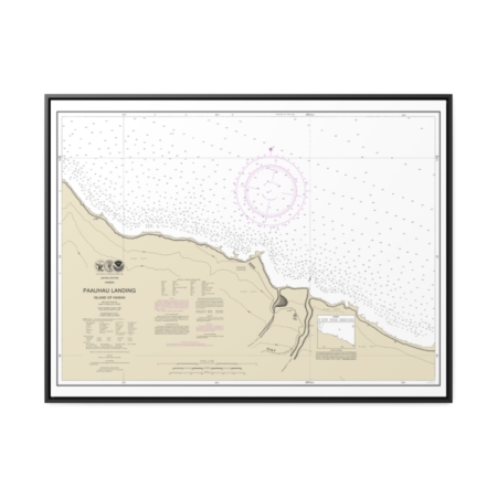
Pa‘auhau Landing Island Of Hawai‘i Nautical Chart 19326 – Floating Frame Canvas
From: $184.95PREMIUM FLOATING FRAME CANVASDistance from your search: 2443.7mi -
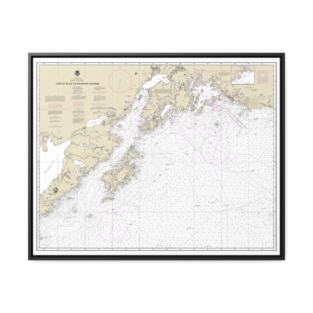
Cape St. Elias to Shumagin Islands Semidi Islands Nautical Chart 16013 – Floating Frame Canvas
From: $184.95PREMIUM FLOATING FRAME CANVASDistance from your search: 2445.2mi -
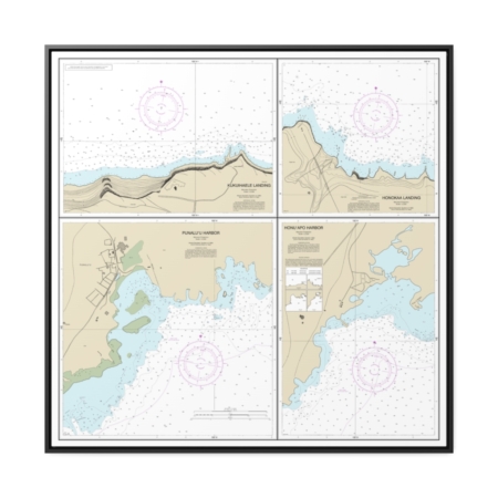
Harbors and Landings on the Northeast and Southeast Coasts of Hawai‘i Punalu‘u Harbor Honu‘apo Bay Honokaa Landing Kukuihaele Landing Nautical Chart 19322 – Floating Frame Canvas
From: $139.95PREMIUM FLOATING FRAME CANVASDistance from your search: 2448.3mi -
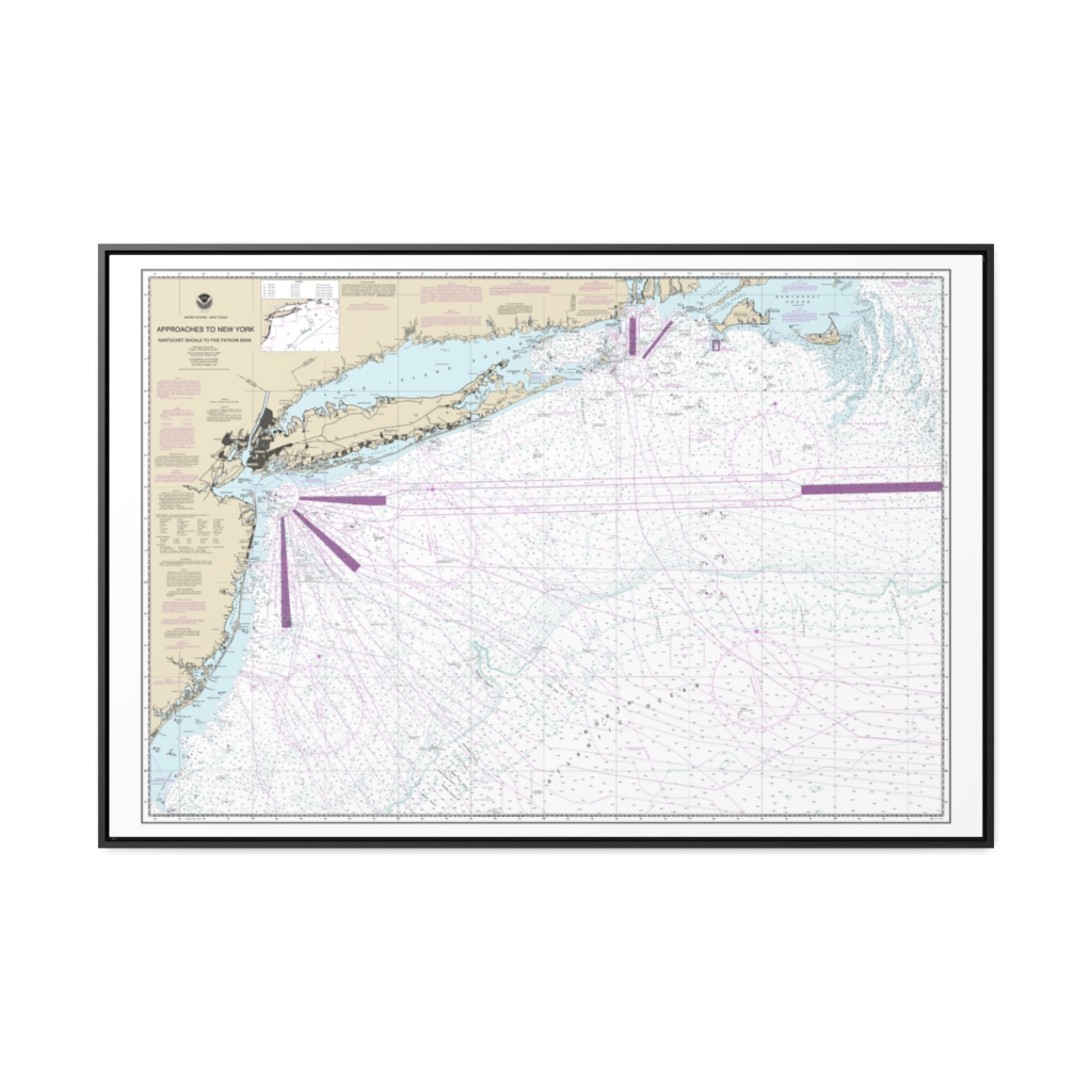
Approaches to New York, Nantucket Shoals to Five Fathom Bank Nautical Chart 12300 – Floating Frame Canvas
From: $164.95PREMIUM FLOATING FRAME CANVASDistance from your search: 2449.3mi