- Display 24 Products per page
-
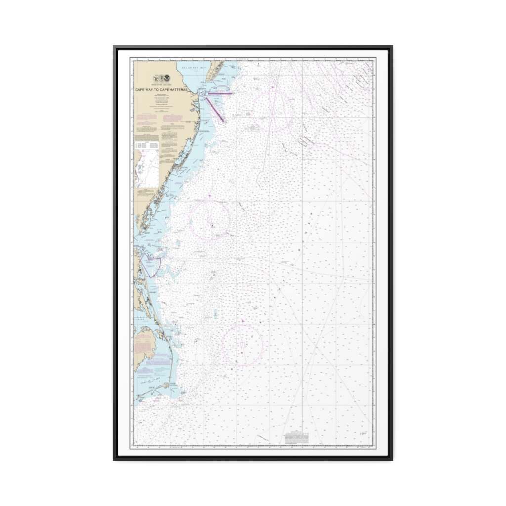
Cape May to Cape Hatteras Nautical Chart 12200 – Floating Frame Canvas
From: $164.95PREMIUM FLOATING FRAME CANVASDistance from your search: 2444.4mi -
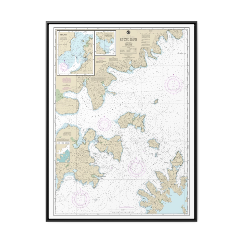
Shumagin Islands-Nagai I. to Unga I. Delarof Harbor Popof Strait, northern part Nautical Chart 16553 – Floating Frame Canvas
From: $184.95PREMIUM FLOATING FRAME CANVASDistance from your search: 2444.9mi -
Distance from your search: 2446.4mi
-
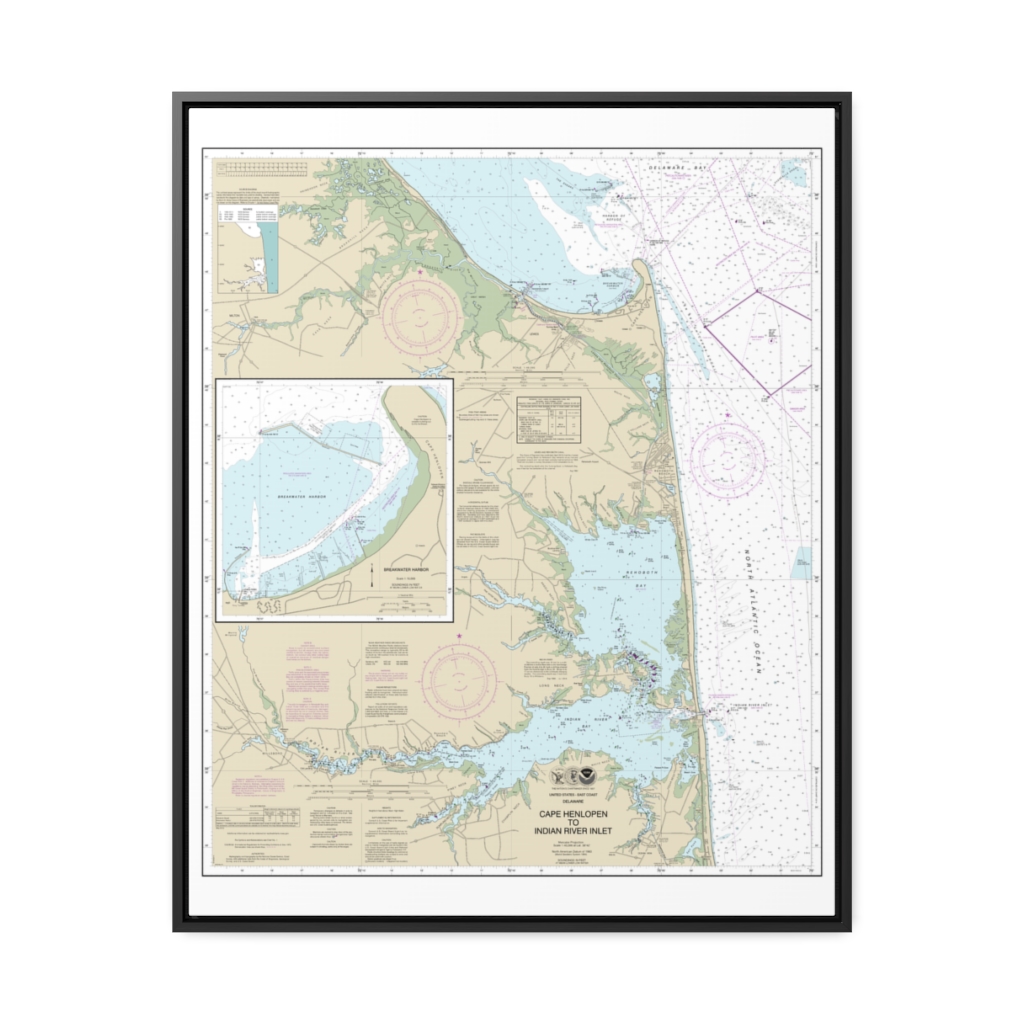
Cape Henlopen to Indian River Inlet;Breakwater Harbor Nautical Chart 12216 – Floating Frame Canvas
From: $184.95PREMIUM FLOATING FRAME CANVASDistance from your search: 2447.6mi -
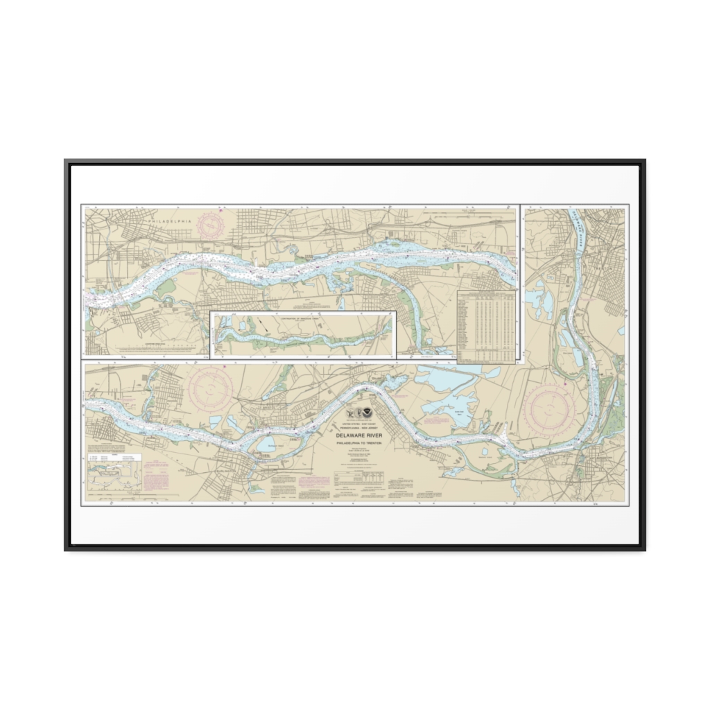
Delaware River Philadelphia to Trenton Nautical Chart 12314 – Floating Frame Canvas
From: $164.95PREMIUM FLOATING FRAME CANVASDistance from your search: 2448.4mi -
Distance from your search: 2449.2mi
-
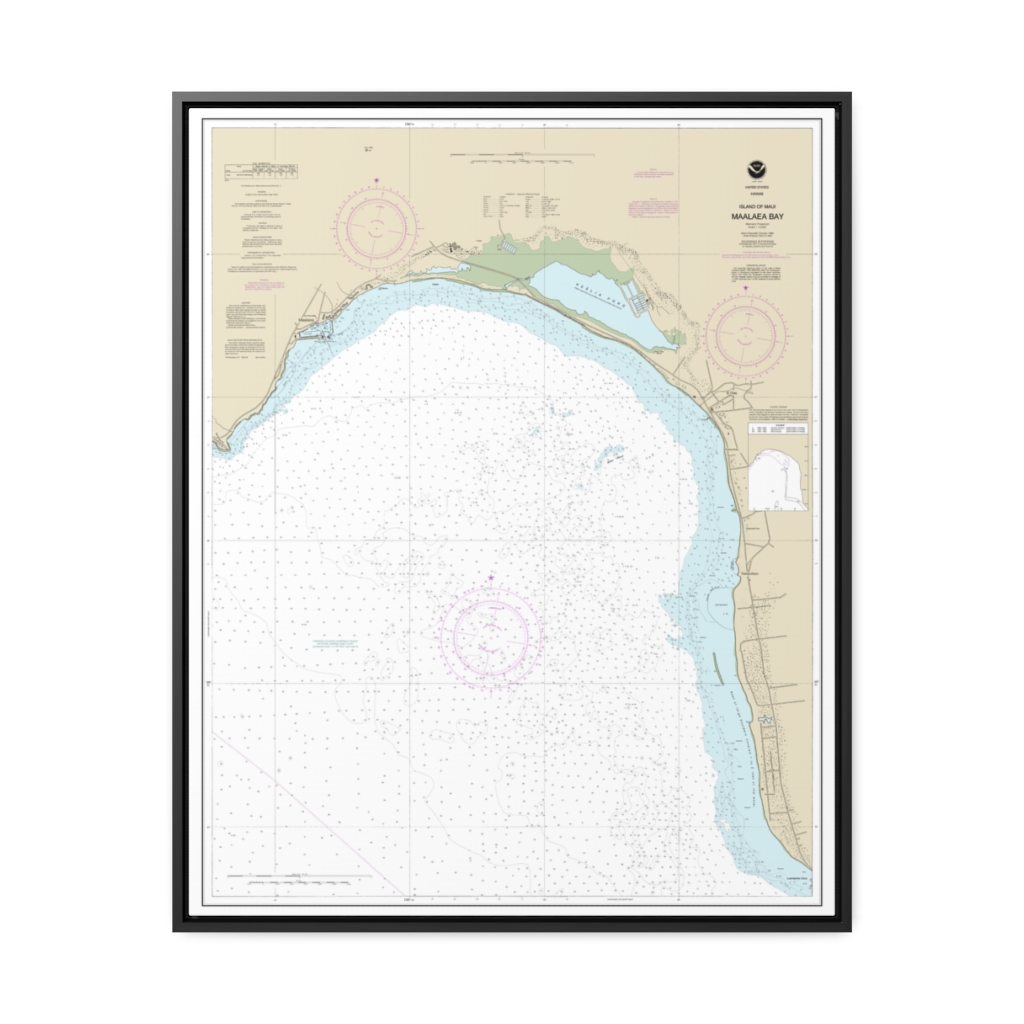
“Island of Maui Ma‘alaea Bay ” Nautical Chart 19350 – Floating Frame Canvas
From: $184.95PREMIUM FLOATING FRAME CANVASDistance from your search: 2451.4mi -
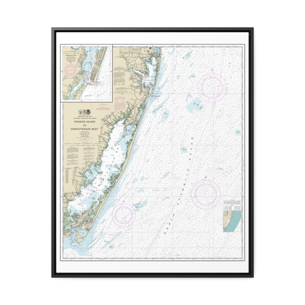
Fenwick Island to Chincoteague Inlet;Ocean City Inlet Nautical Chart 12211 – Floating Frame Canvas
From: $184.95PREMIUM FLOATING FRAME CANVASDistance from your search: 2451.5mi -
Distance from your search: 2456.9mi
-
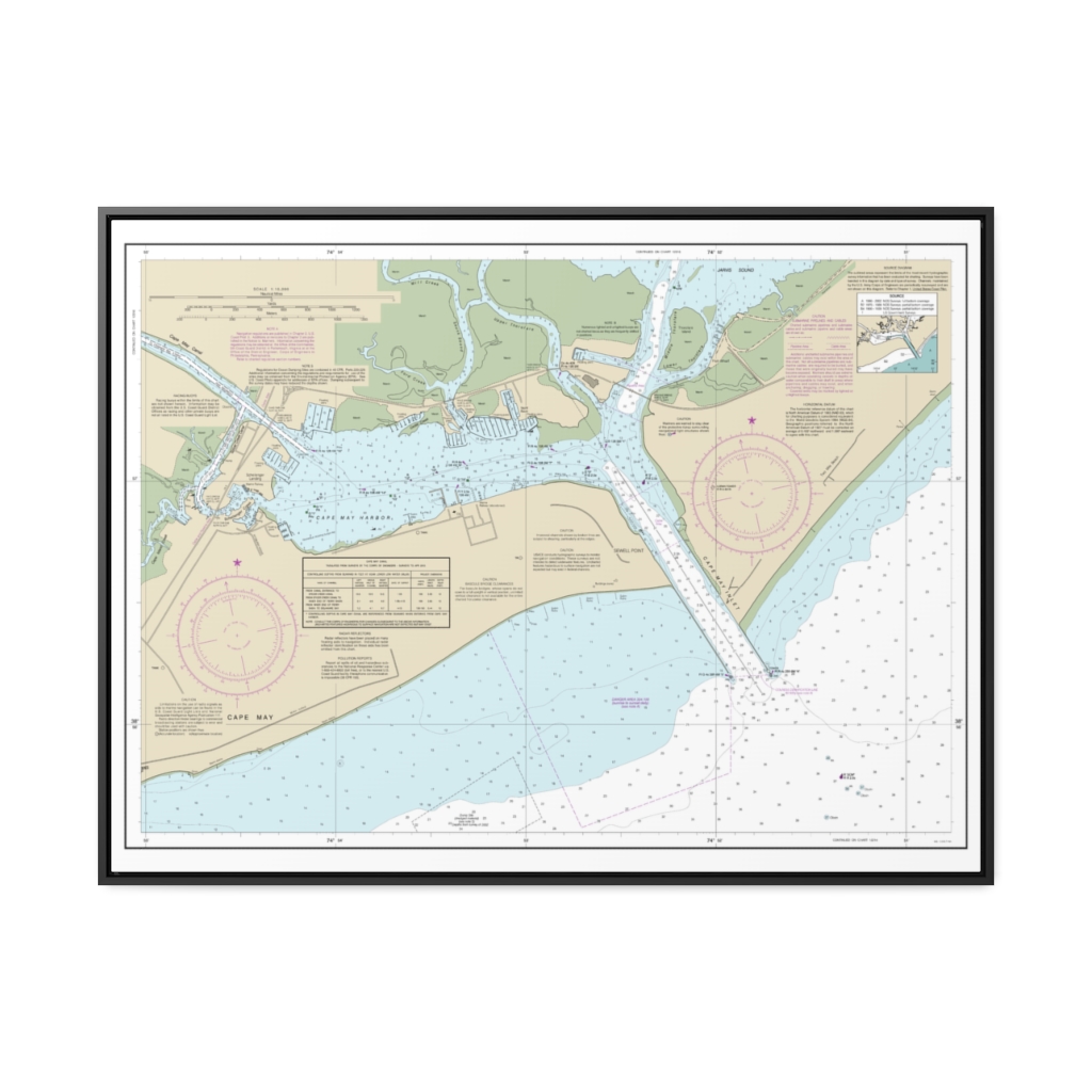
Cape May Harbor Nautical Chart 12317 – Floating Frame Canvas
From: $184.95PREMIUM FLOATING FRAME CANVASDistance from your search: 2457.4mi -
 11oz From $14.21 15oz From $16.46
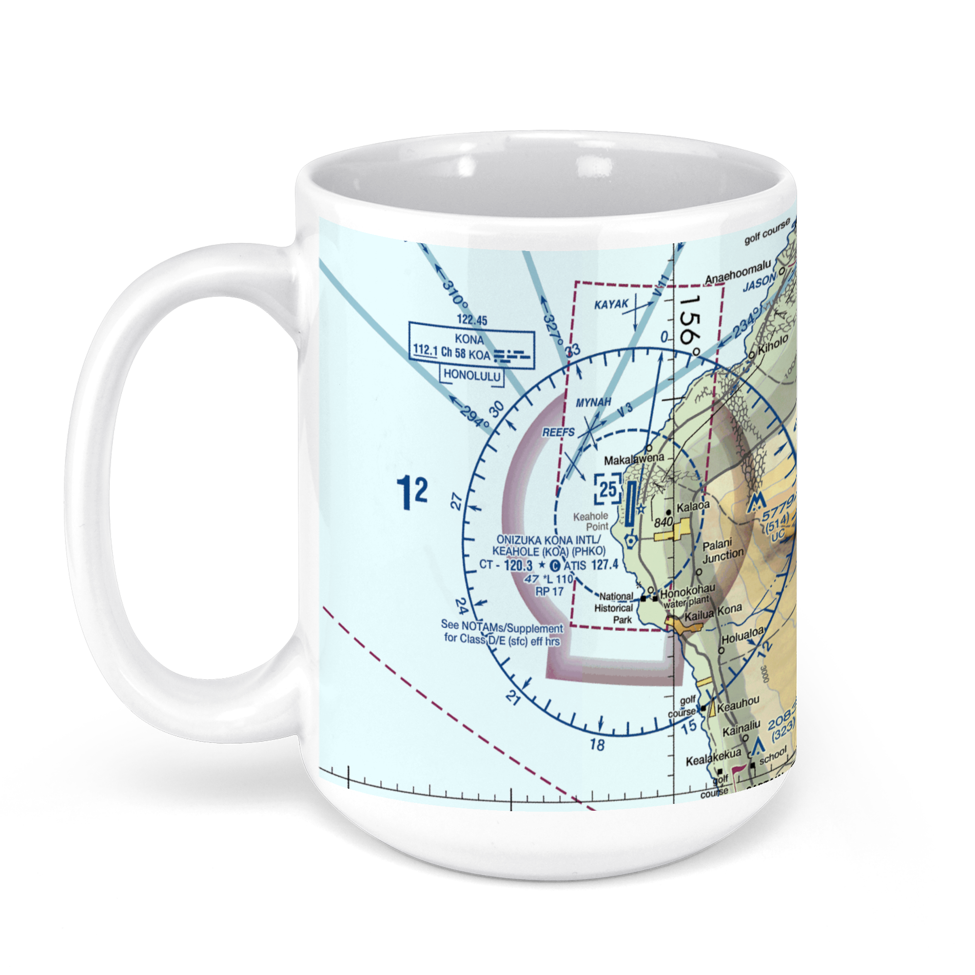
Kona International Airport (KOA), Kupipi Street, Kalaoa, HI, USA FAA Sectional Aeronautical Charts Chart Mug
From: $18.95MIX, MATCH & SAVE! UP TO 25% OFFDistance from your search: 2459.6mi -
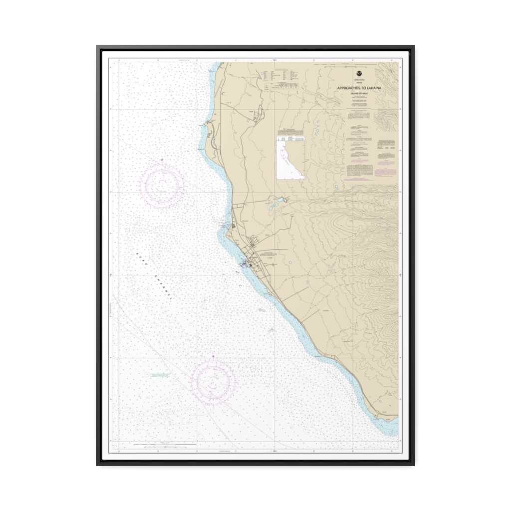
Approaches to Lahaina, Island of Maui Nautical Chart 19348 – Floating Frame Canvas
From: $184.95PREMIUM FLOATING FRAME CANVASDistance from your search: 2460.8mi -
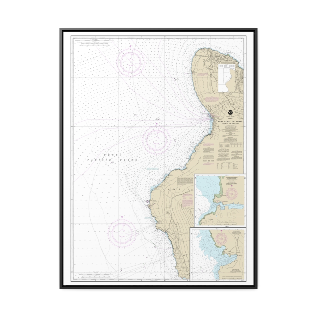
West Coast of Hawai‘i Cook Point to Upolu Point Keauhou Bay Honokohau Harbor Nautical Chart 19327 – Floating Frame Canvas
From: $184.95PREMIUM FLOATING FRAME CANVASDistance from your search: 2461.7mi -
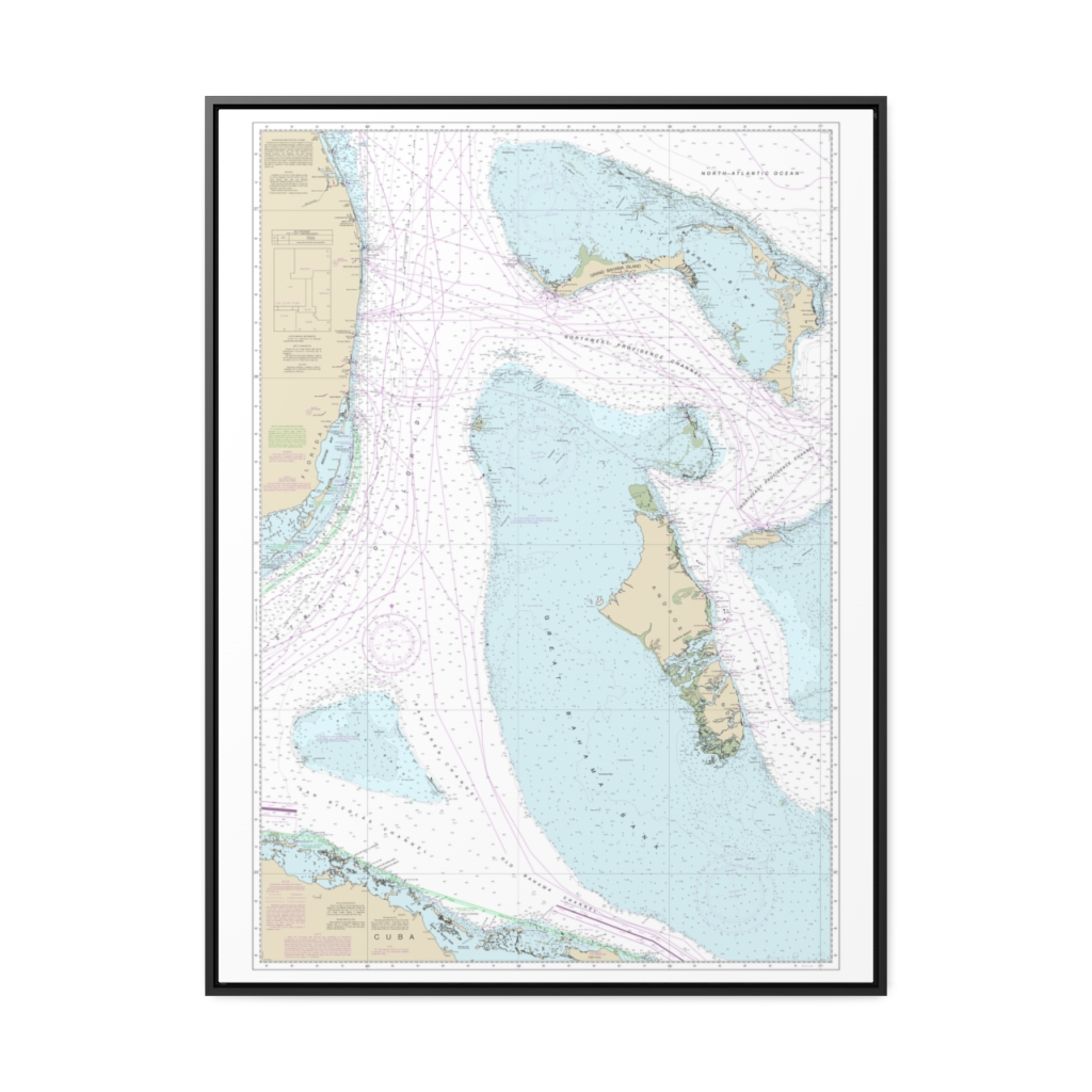
Straits of Florida – Eastern Part Nautical Chart 4149 – Floating Frame Canvas
From: $184.95PREMIUM FLOATING FRAME CANVASDistance from your search: 2461.8mi -
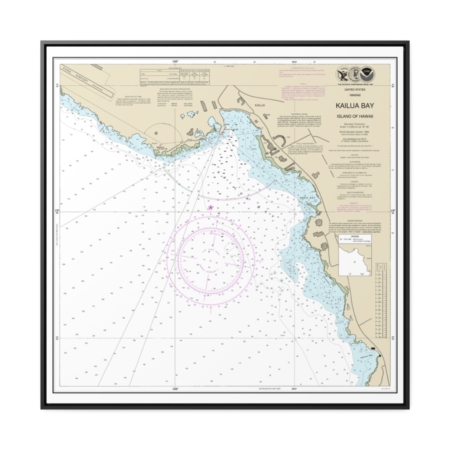
Kailua Bay Island Of Hawai‘i Nautical Chart 19331 – Floating Frame Canvas
From: $139.95PREMIUM FLOATING FRAME CANVASDistance from your search: 2462mi -
Distance from your search: 2462.3mi
-
Distance from your search: 2462.4mi
-
Distance from your search: 2462.4mi
-
Distance from your search: 2462.4mi
-
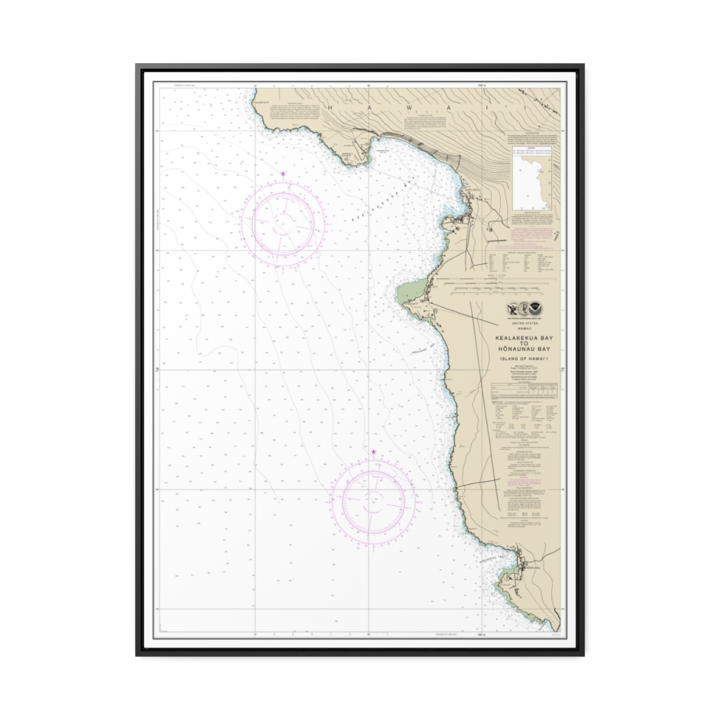
Kealakekua Bay to Hönaunau Bay Nautical Chart 19332 – Floating Frame Canvas
From: $184.95PREMIUM FLOATING FRAME CANVASDistance from your search: 2467.1mi -
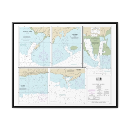
Harbors of Moloka‘i Kaunakakai Harbor Pükoo Harbor Kamalö Harbor Kolo Harbor Lono Harbor Nautical Chart 19353 – Floating Frame Canvas
From: $184.95PREMIUM FLOATING FRAME CANVASDistance from your search: 2468mi -
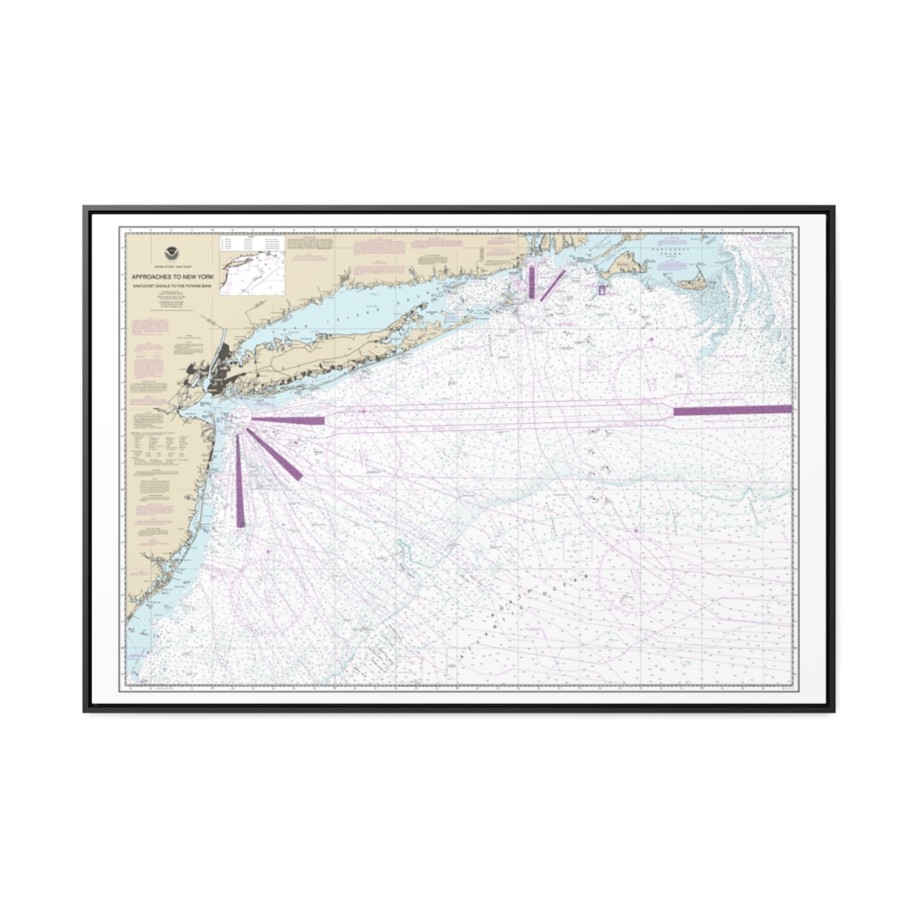
Approaches to New York, Nantucket Shoals to Five Fathom Bank Nautical Chart 12300 – Floating Frame Canvas
From: $164.95PREMIUM FLOATING FRAME CANVASDistance from your search: 2470.3mi -
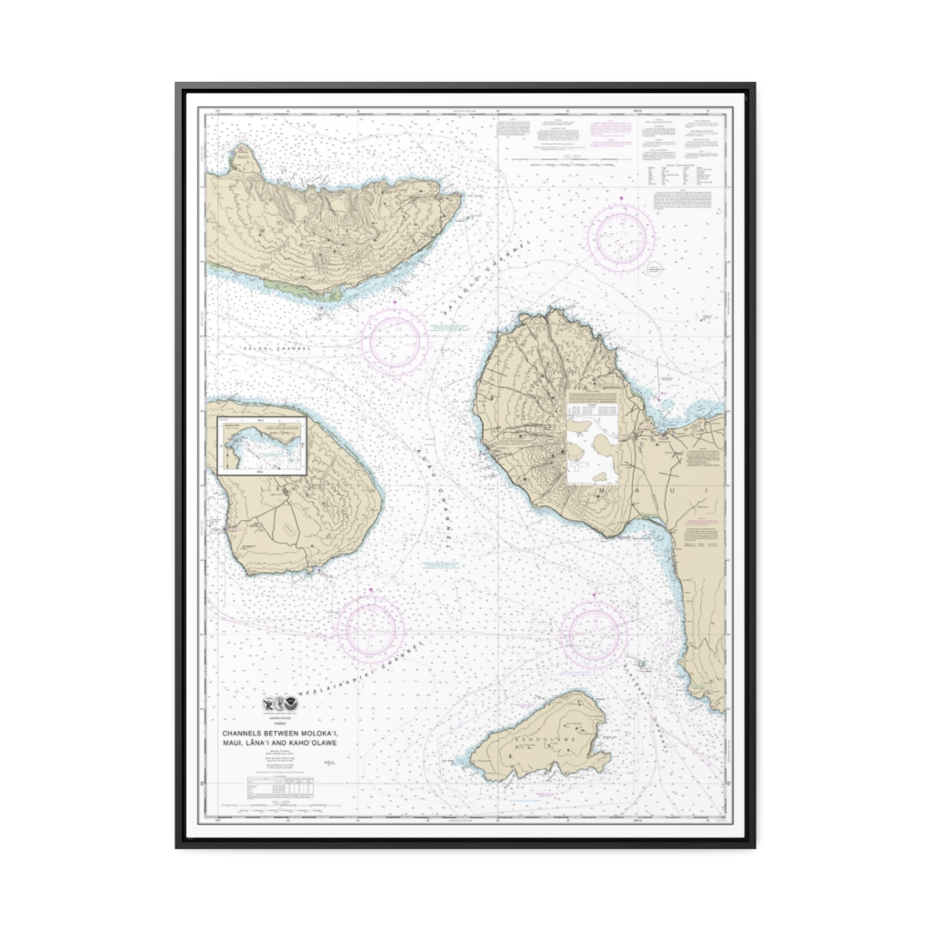
Channels between Molokai, Maui, Läna‘i and Kaho‘olawe Manele Bay Nautical Chart 19347 – Floating Frame Canvas
From: $184.95PREMIUM FLOATING FRAME CANVASDistance from your search: 2471.3mi -
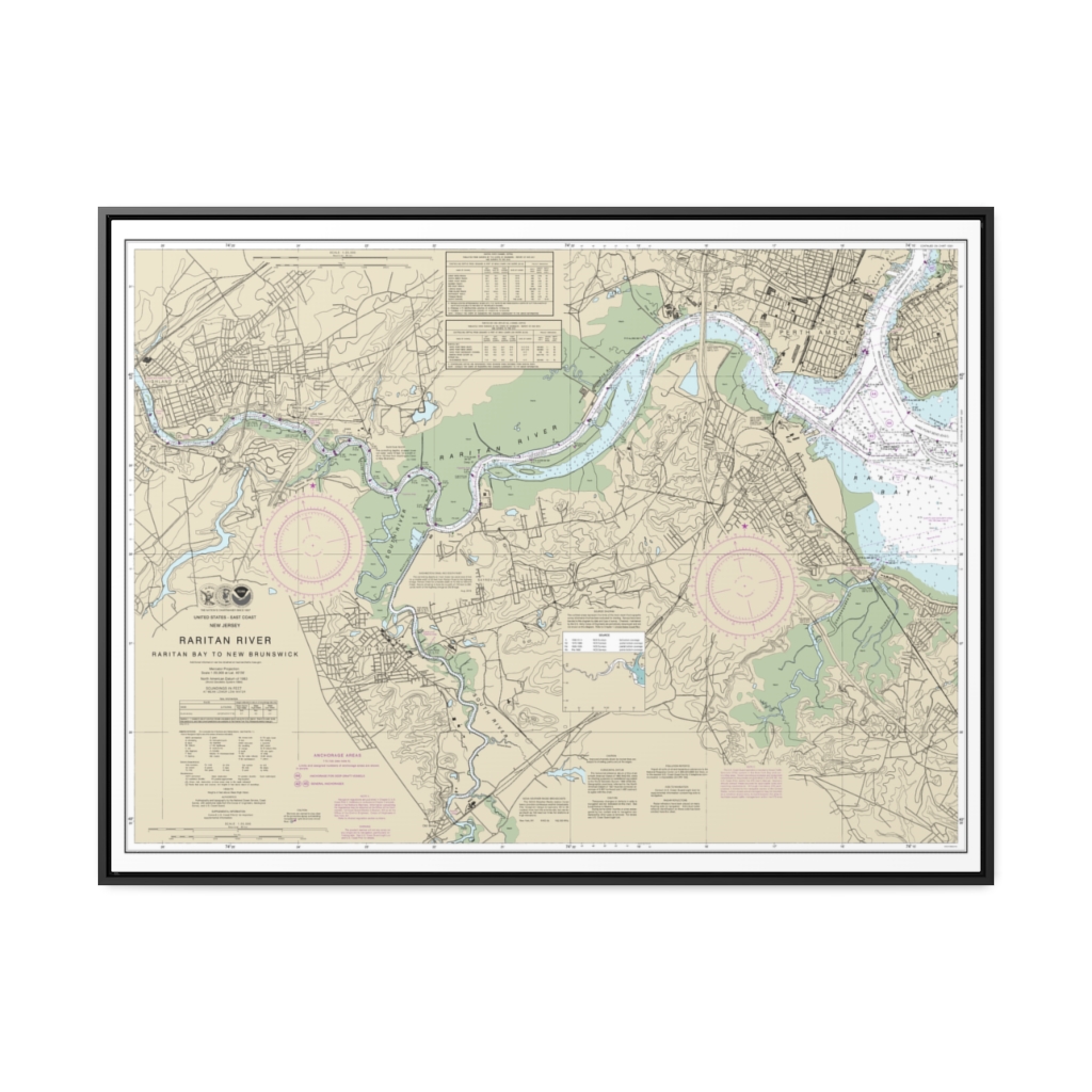
Raritan River Raritan Bay to New Brunswick Nautical Chart 12332 – Floating Frame Canvas
From: $184.95PREMIUM FLOATING FRAME CANVASDistance from your search: 2472.8mi