- Display 24 Products per page
-
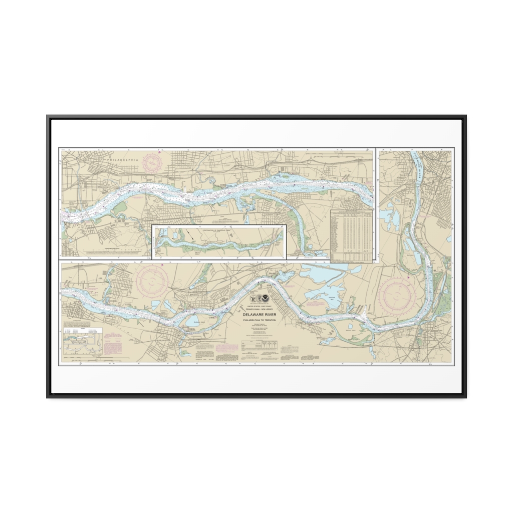
Delaware River Philadelphia to Trenton Nautical Chart 12314 – Floating Frame Canvas
From: $164.95PREMIUM FLOATING FRAME CANVASDistance from your search: 2537.3mi -
 11oz From $14.21 15oz From $16.46
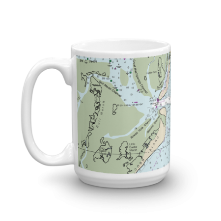
Cobb Island Chart Mug
From: $18.95MIX, MATCH & SAVE! UP TO 25% OFFDistance from your search: 2538.7mi -
Morehead City Harbor Nautical Chart 11547 – Floating Frame Canvas
From: $184.95PREMIUM FLOATING FRAME CANVASDistance from your search: 2539.8mi -
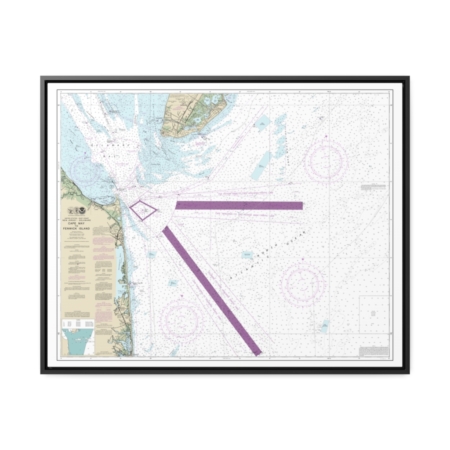
East Cape to Mormon Key Nautical Chart 11431 – Floating Frame Canvas
From: $184.95PREMIUM FLOATING FRAME CANVASDistance from your search: 2539.9mi -
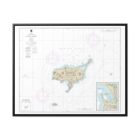
St. Paul Island, Pribilof Islands Nautical Chart 16382 – Floating Frame Canvas
From: $184.95PREMIUM FLOATING FRAME CANVASDistance from your search: 2540.9mi -
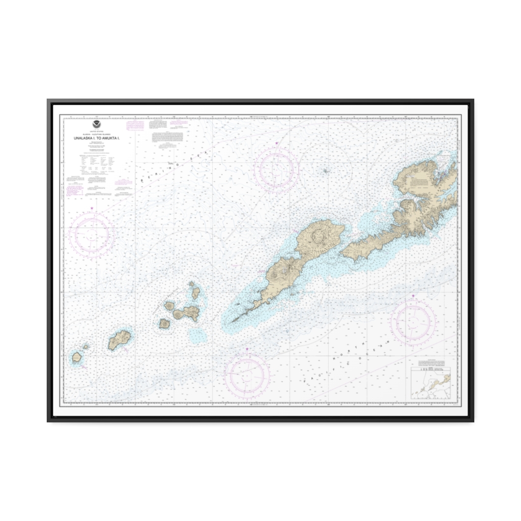
Unalaska l. to Amukta l. Nautical Chart 16500 – Floating Frame Canvas
From: $184.95PREMIUM FLOATING FRAME CANVASDistance from your search: 2541.2mi -
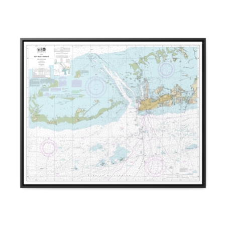
Key West Harbor and Approaches Nautical Chart 11441 – Floating Frame Canvas
From: $184.95PREMIUM FLOATING FRAME CANVASDistance from your search: 2541.3mi -
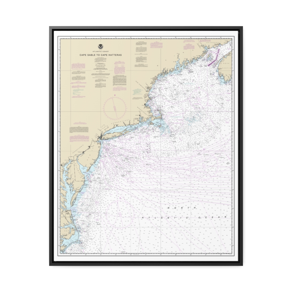
Cape Sable to Cape Hatteras Nautical Chart 13003 – Floating Frame Canvas
From: $184.95PREMIUM FLOATING FRAME CANVASDistance from your search: 2542.9mi -
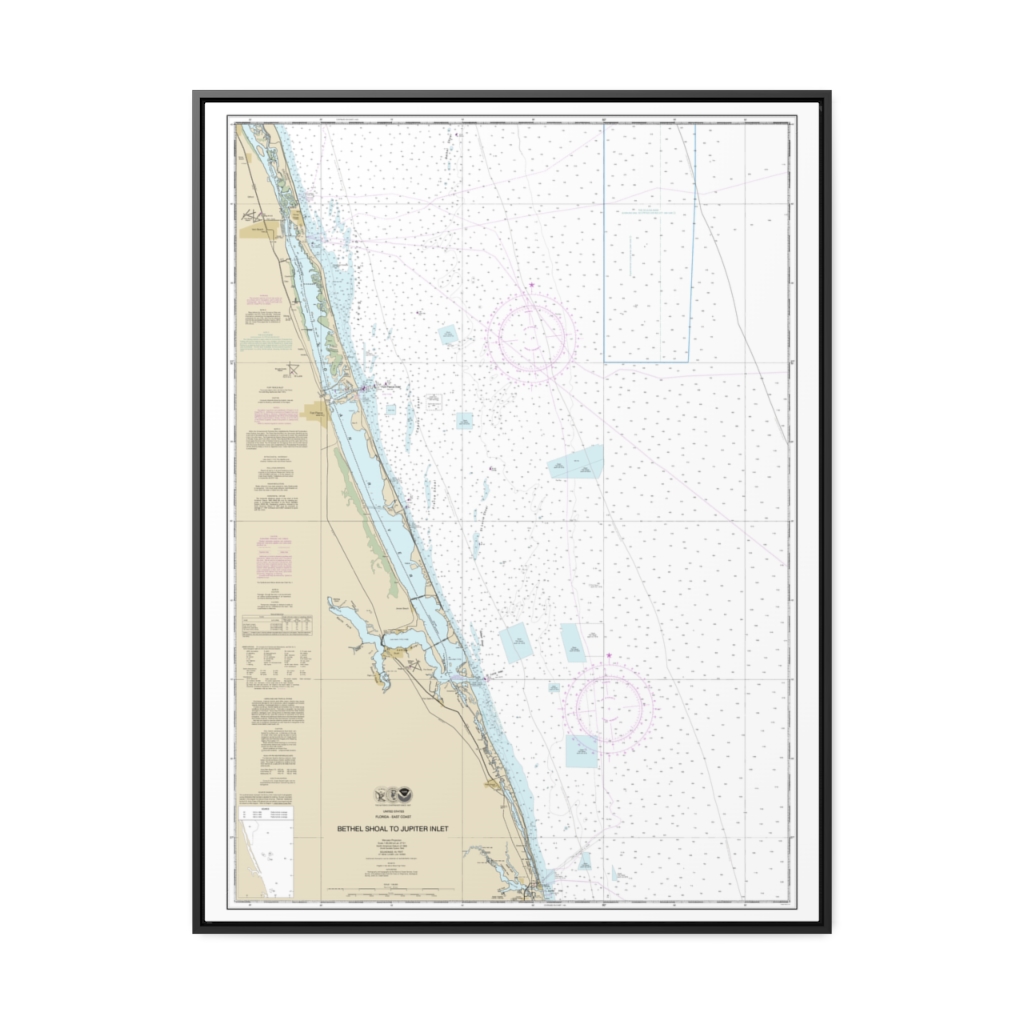
Bethel Shoal to Jupiter Inlet Nautical Chart 11474 – Floating Frame Canvas
From: $184.95PREMIUM FLOATING FRAME CANVASDistance from your search: 2543.3mi -
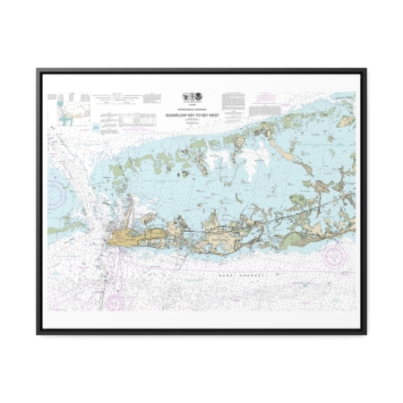
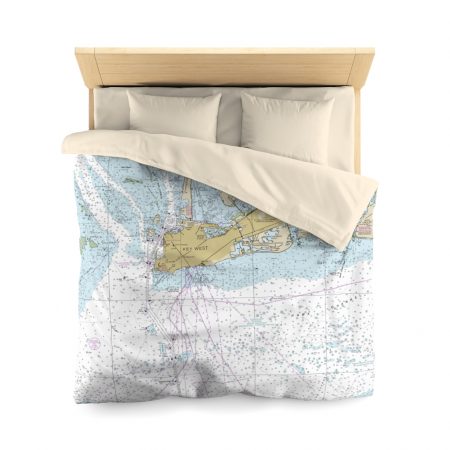
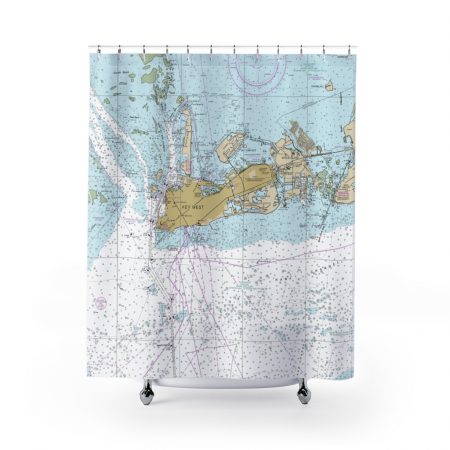
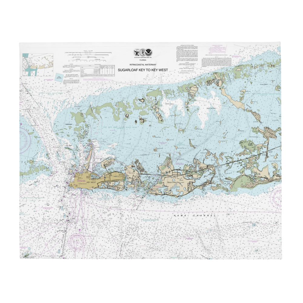
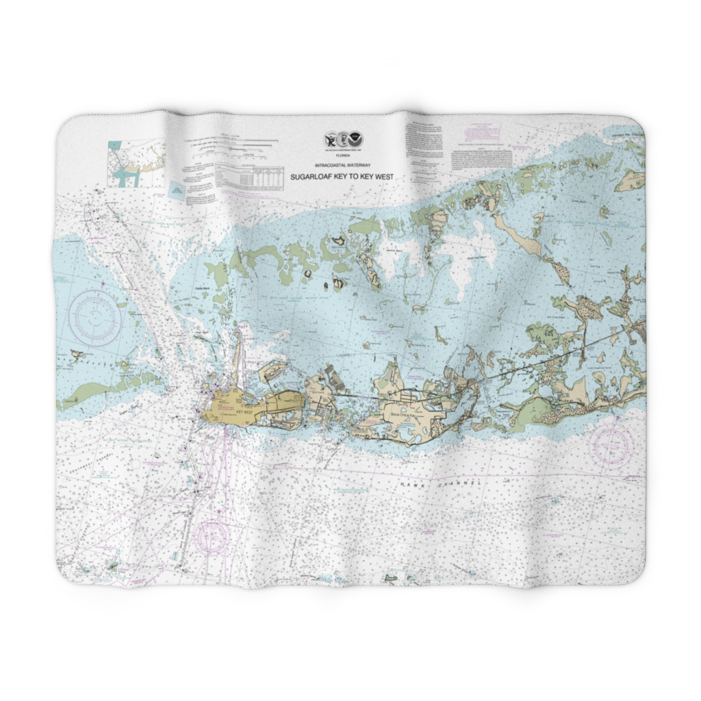
Intracoastal Waterway Sugarloaf Key To Key West Nautical Chart 11446 – Floating Frame Canvas
From: $184.95PREMIUM FLOATING FRAME CANVASDistance from your search: 2545.3mi -
Cape May to Fenwick Island Nautical Chart 12214 – Floating Frame Canvas
From: $184.95PREMIUM FLOATING FRAME CANVASDistance from your search: 2545.7mi -
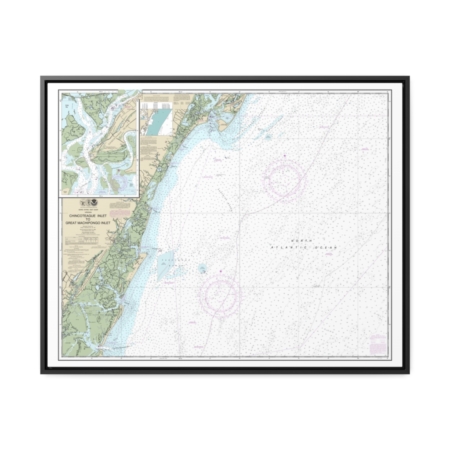
Chincoteague Inlet to Great Machipongo Inlet Chincoteague Inlet Nautical Chart 12210 – Floating Frame Canvas
From: $184.95PREMIUM FLOATING FRAME CANVASDistance from your search: 2545.9mi -
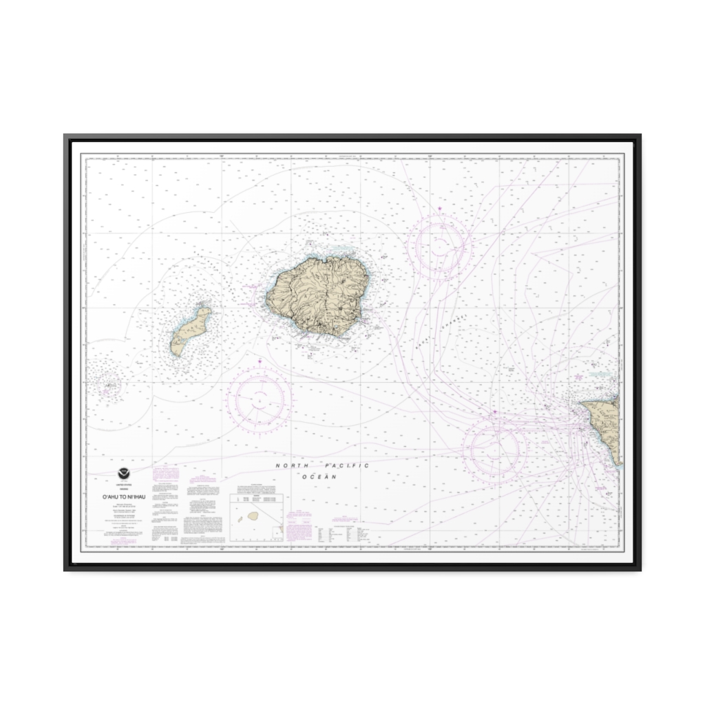
O‘ahu to Ni‘ihau Nautical Chart 19380 – Floating Frame Canvas
From: $184.95PREMIUM FLOATING FRAME CANVASDistance from your search: 2546.2mi -
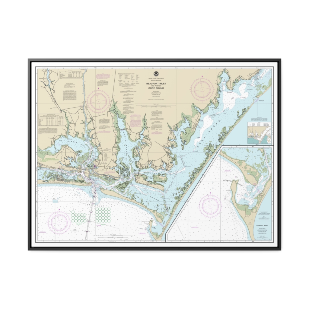
Beaufort Inlet and Part of Core Sound Lookout Bight Nautical Chart 11545 – Floating Frame Canvas
From: $184.95PREMIUM FLOATING FRAME CANVASDistance from your search: 2546.3mi -
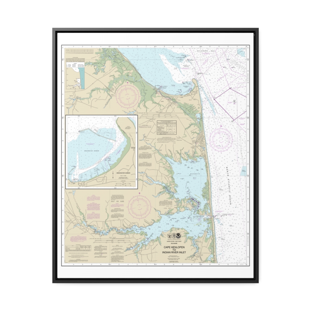
Cape Henlopen to Indian River Inlet;Breakwater Harbor Nautical Chart 12216 – Floating Frame Canvas
From: $184.95PREMIUM FLOATING FRAME CANVASDistance from your search: 2547.1mi -
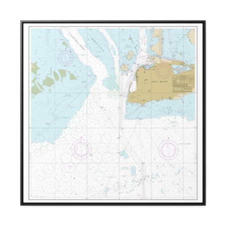
Key West Harbor Nautical Chart 11447 – Floating Frame Canvas
From: $139.95PREMIUM FLOATING FRAME CANVASDistance from your search: 2547.1mi -
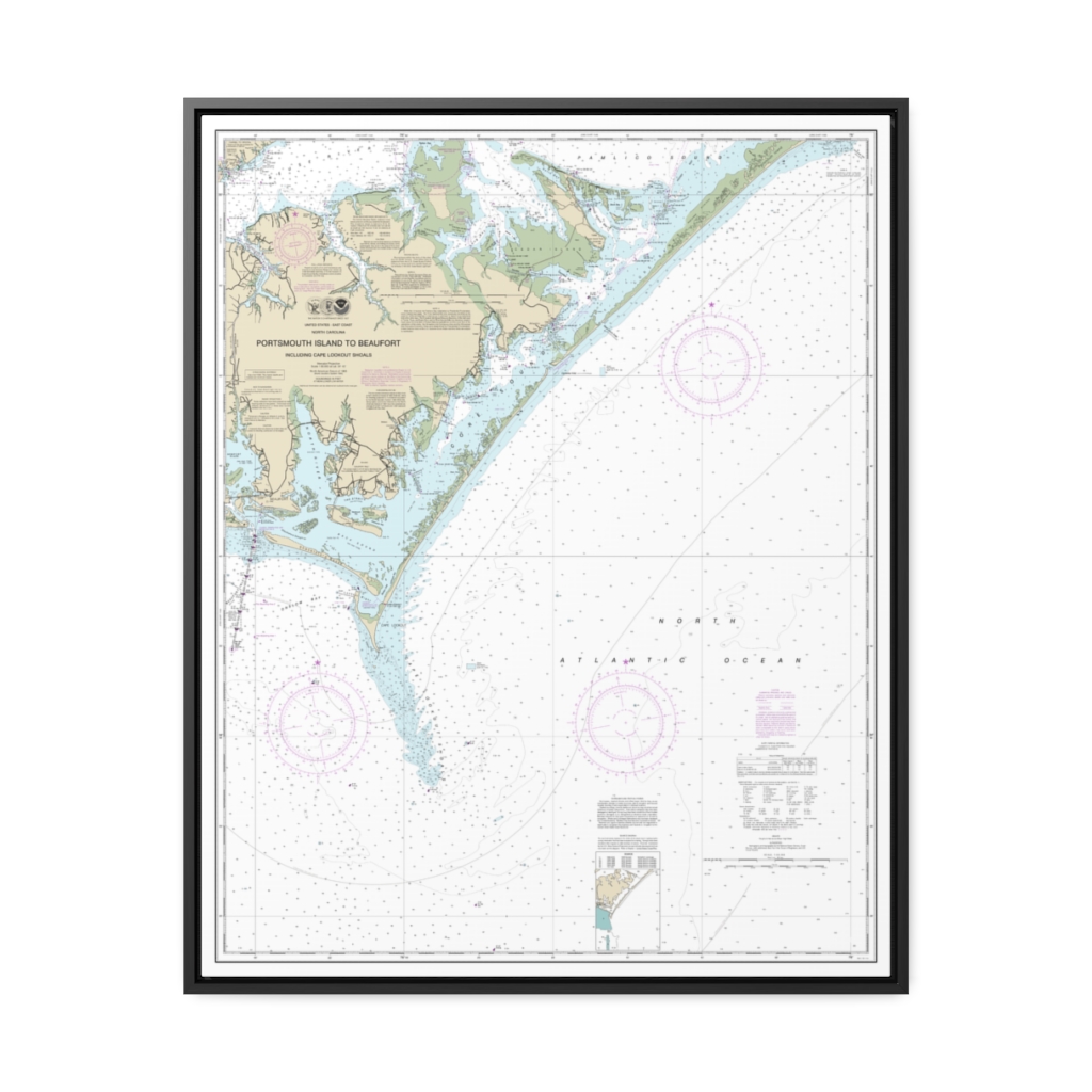
Portsmouth Island to Beaufort, Including Cape Lookout Shoals Nautical Chart 11544 – Floating Frame Canvas
From: $184.95PREMIUM FLOATING FRAME CANVASDistance from your search: 2547.8mi -
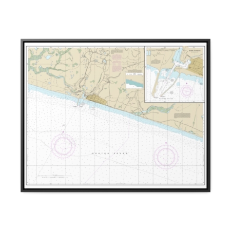
Nome Hbr. and approaches, Norton Sound Nome Harbor Nautical Chart 16206 – Floating Frame Canvas
From: $184.95PREMIUM FLOATING FRAME CANVASDistance from your search: 2547.8mi -
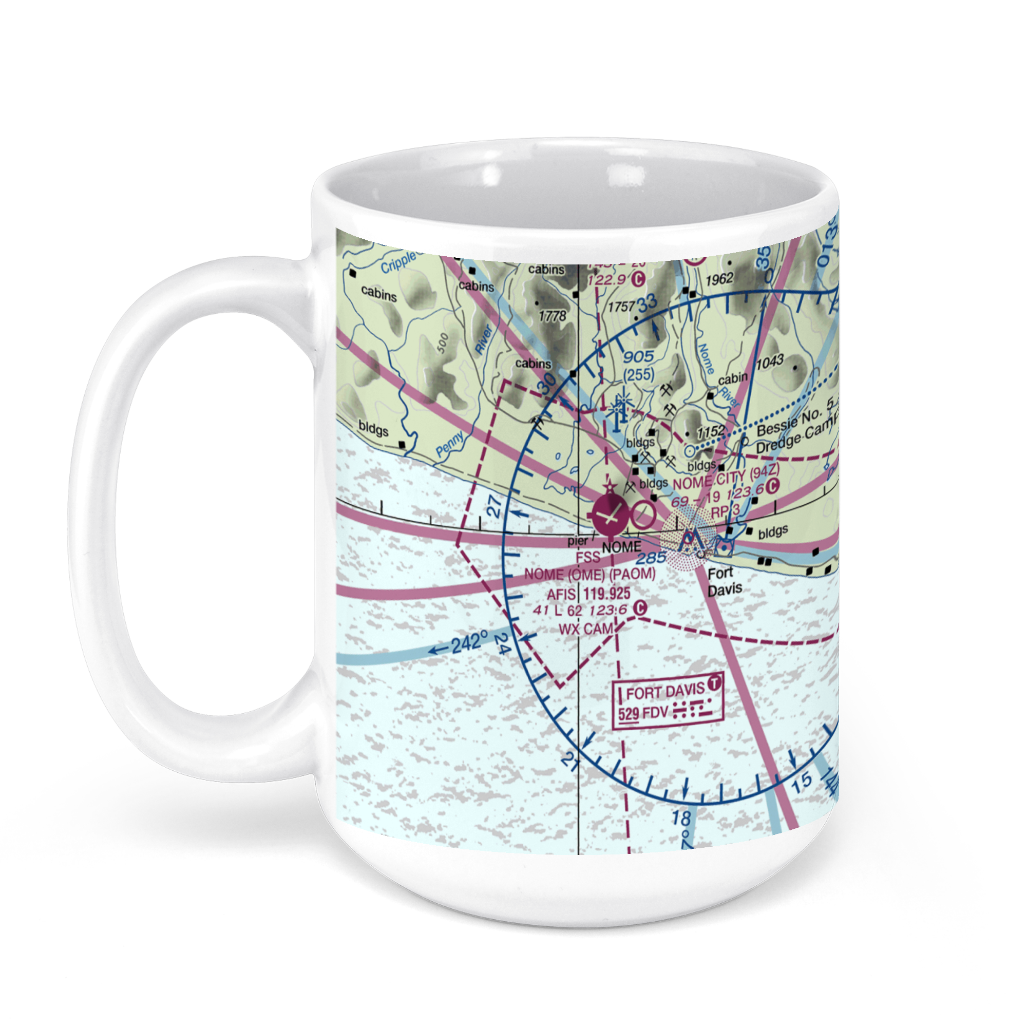 11oz From $14.21 15oz From $16.46
Nome Airport (OME), Airport Rd, Nome, AK, USA FAA Sectional Aeronautical Charts Chart Mug
From: $18.95MIX, MATCH & SAVE! UP TO 25% OFFDistance from your search: 2548.4mi -
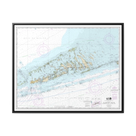
Florida Keys Sombrero Key to Sand Key Nautical Chart 11442 – Floating Frame Canvas
From: $184.95PREMIUM FLOATING FRAME CANVASDistance from your search: 2548.9mi -
Distance from your search: 2549.7mi
-
Distance from your search: 2549.7mi
-
Distance from your search: 2549.7mi
-
Distance from your search: 2549.7mi