- Display 24 Products per page
-
 11oz From $14.21 15oz From $16.46
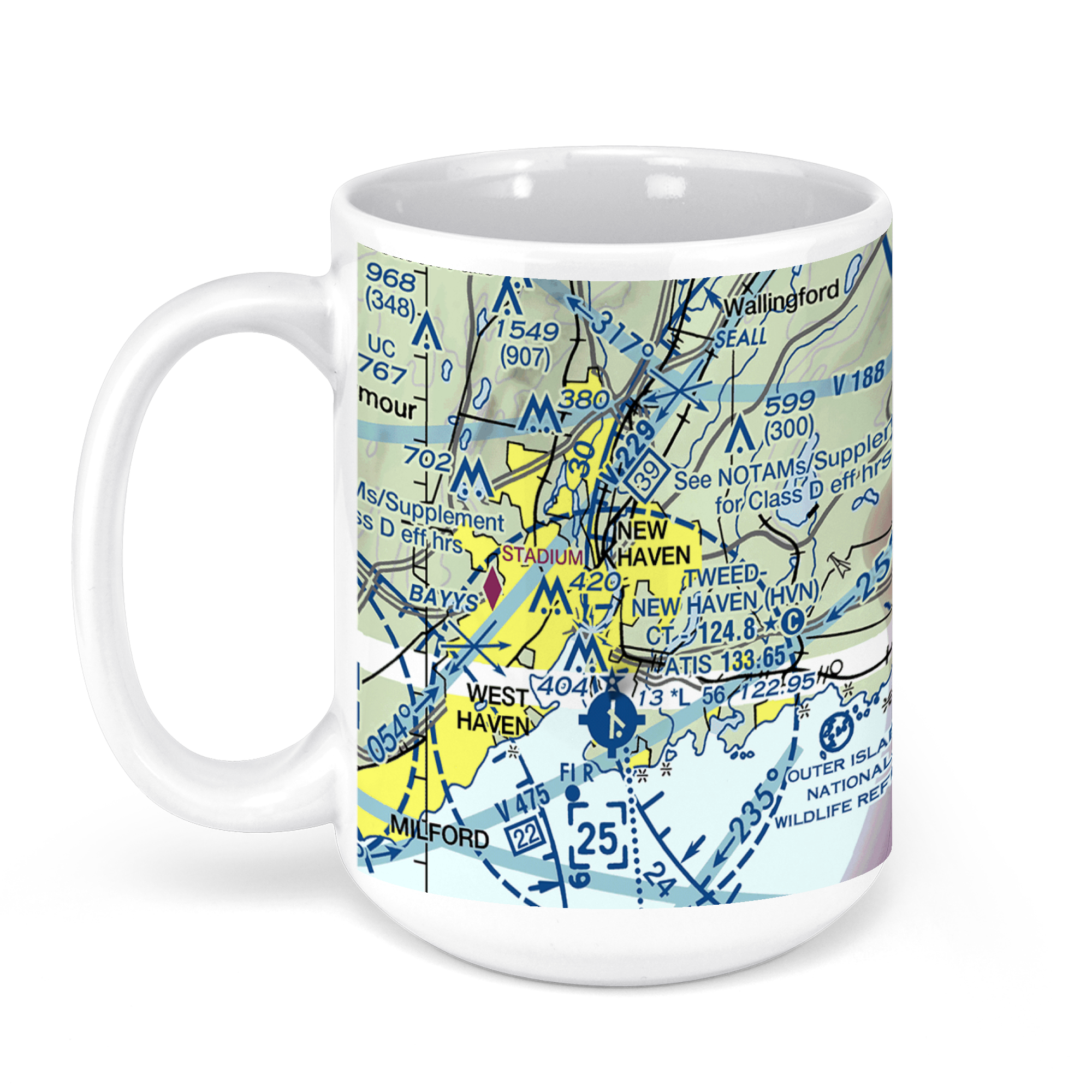
Tweed New Haven Regional Airport, Burr Street, New Haven, CT, USA FAA Sectional Aeronautical Charts Chart Mug
From: $18.95MIX, MATCH & SAVE! UP TO 25% OFFDistance from your search: 3580.8mi -
Distance from your search: 3581.1mi
-
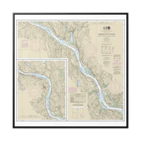
Connecticut River Deep River to Bodkin Rock Nautical Chart 12377 – Floating Frame Canvas
From: $139.95PREMIUM FLOATING FRAME CANVASDistance from your search: 3581.5mi -
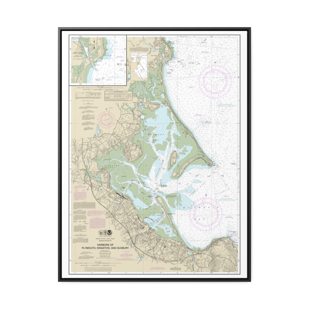
Harbors of Plymouth, Kingston and Duxbury Green Harbor Nautical Chart 13253 – Floating Frame Canvas
From: $184.95PREMIUM FLOATING FRAME CANVASDistance from your search: 3581.7mi -
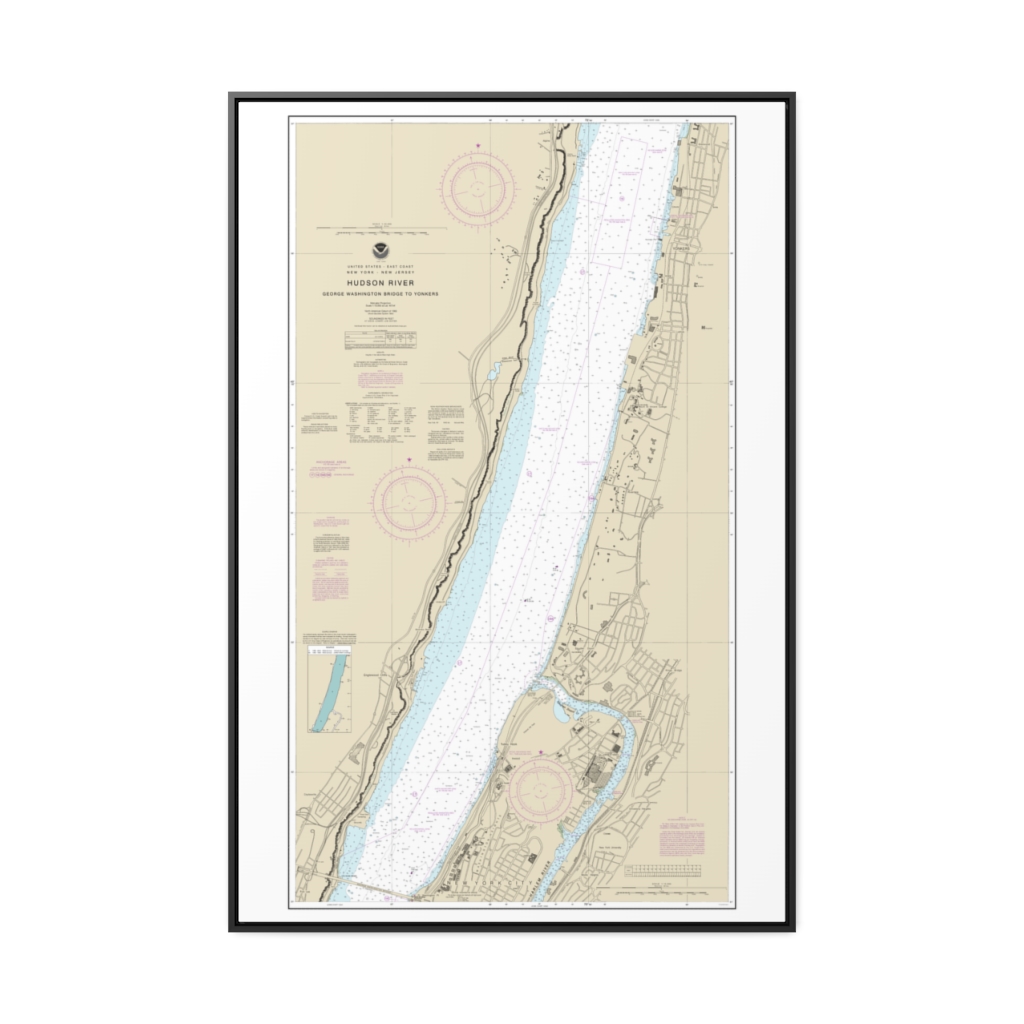
Hudson River George Washington Bridge to Yonkers Nautical Chart 12345 – Floating Frame Canvas
From: $164.95PREMIUM FLOATING FRAME CANVASDistance from your search: 3582mi -
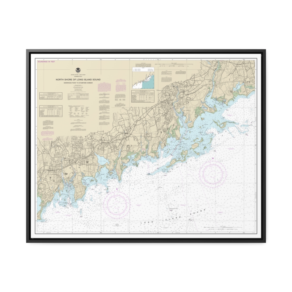
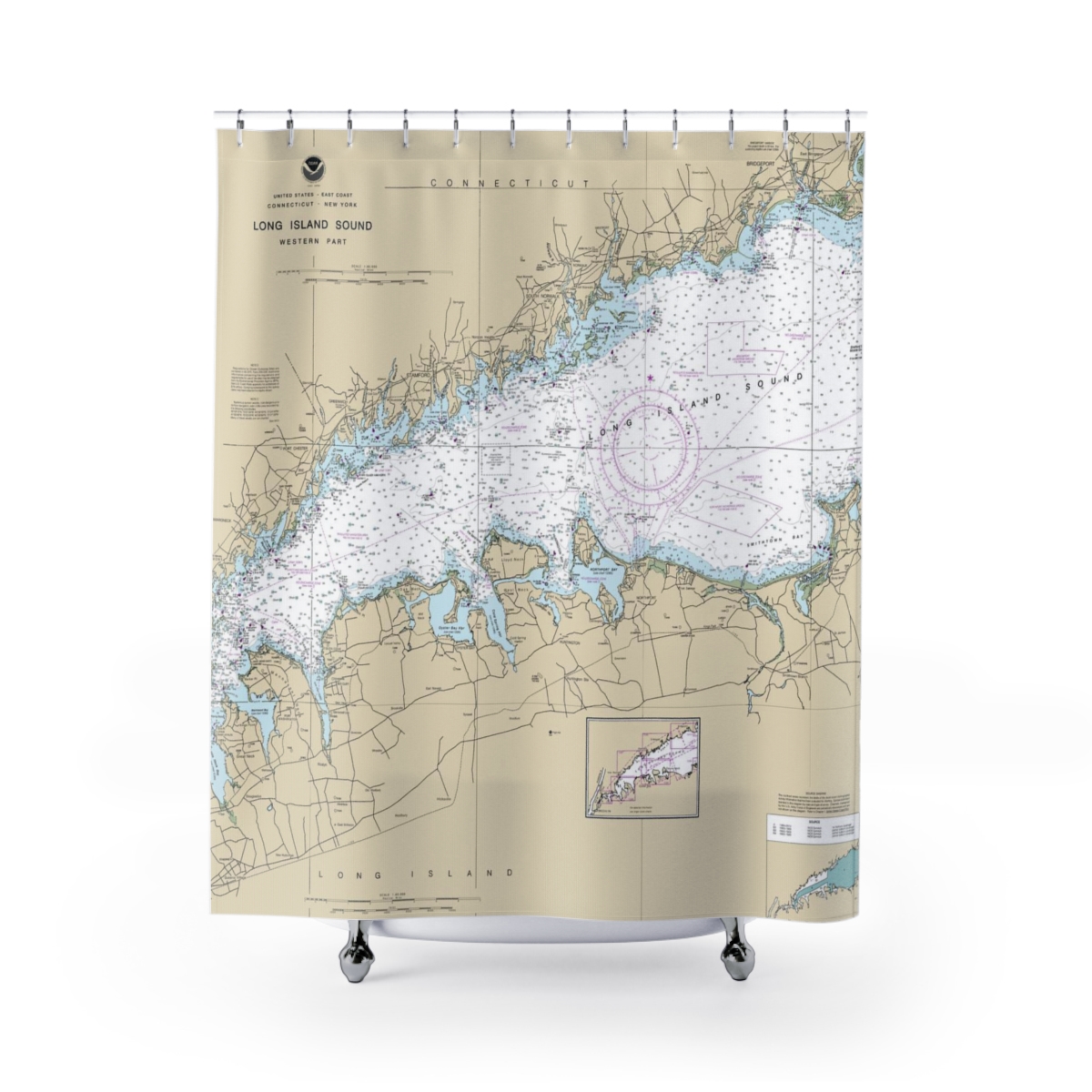
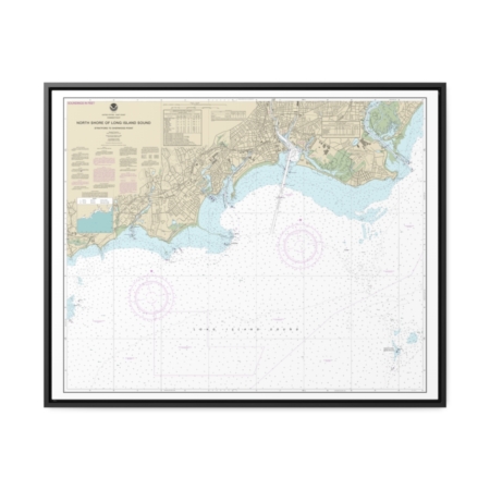
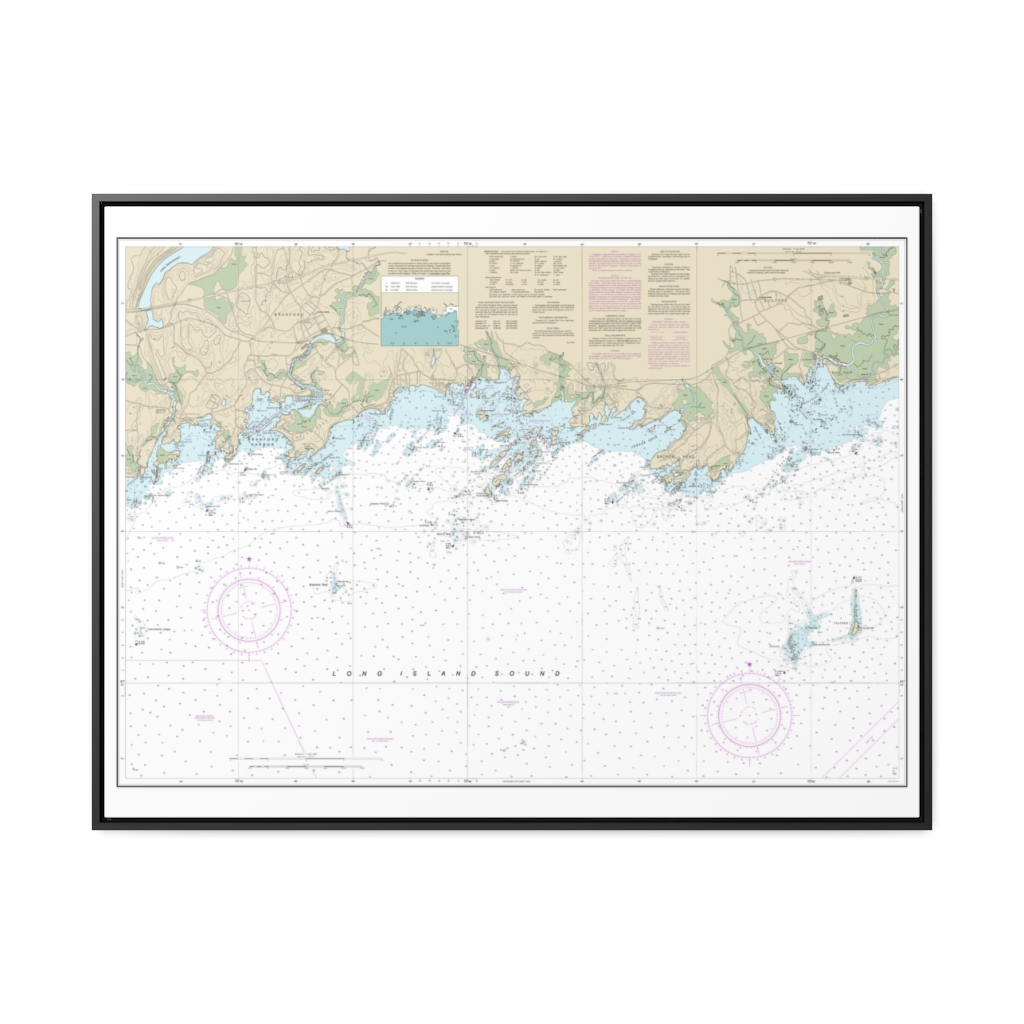
North Shore of Long Island Sound Sherwood Point to Stamford Harbor Nautical Chart 12368 – Floating Frame Canvas
From: $184.95PREMIUM FLOATING FRAME CANVASDistance from your search: 3582.3mi -
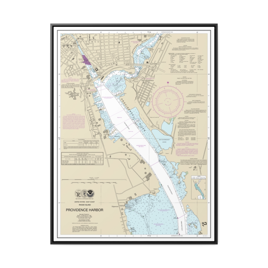
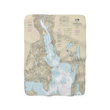
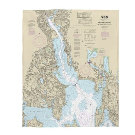
Providence Harbor Nautical Chart 13225 – Floating Frame Canvas
From: $184.95PREMIUM FLOATING FRAME CANVASDistance from your search: 3582.9mi -
North Shore of Long Island Sound Greenwich Point to New Rochelle Nautical Chart 12367 – Floating Frame Canvas
From: $184.95PREMIUM FLOATING FRAME CANVASDistance from your search: 3583.3mi -
 11oz From $14.21 15oz From $16.46
Duxbury Harbor Chart Mug
From: $18.95MIX, MATCH & SAVE! UP TO 25% OFFDistance from your search: 3583.3mi -
Distance from your search: 3583.9mi
-
Distance from your search: 3584mi
-
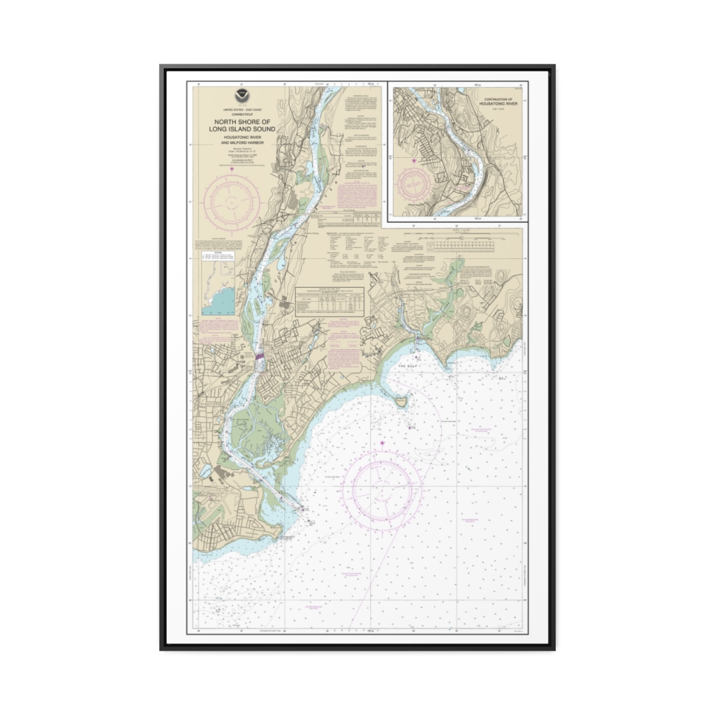
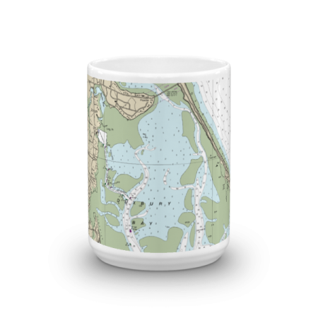
North Shore of Long Island Sound Housatonic River and Milford Harbor Nautical Chart 12370 – Floating Frame Canvas
From: $164.95PREMIUM FLOATING FRAME CANVASDistance from your search: 3584mi -
North Shore of Long Island Sound Stratford to Sherwood Point Nautical Chart 12369 – Floating Frame Canvas
From: $184.95PREMIUM FLOATING FRAME CANVASDistance from your search: 3584.8mi -
Distance from your search: 3584.9mi
-
Distance from your search: 3585mi
-
 11oz From $14.21 15oz From $16.46
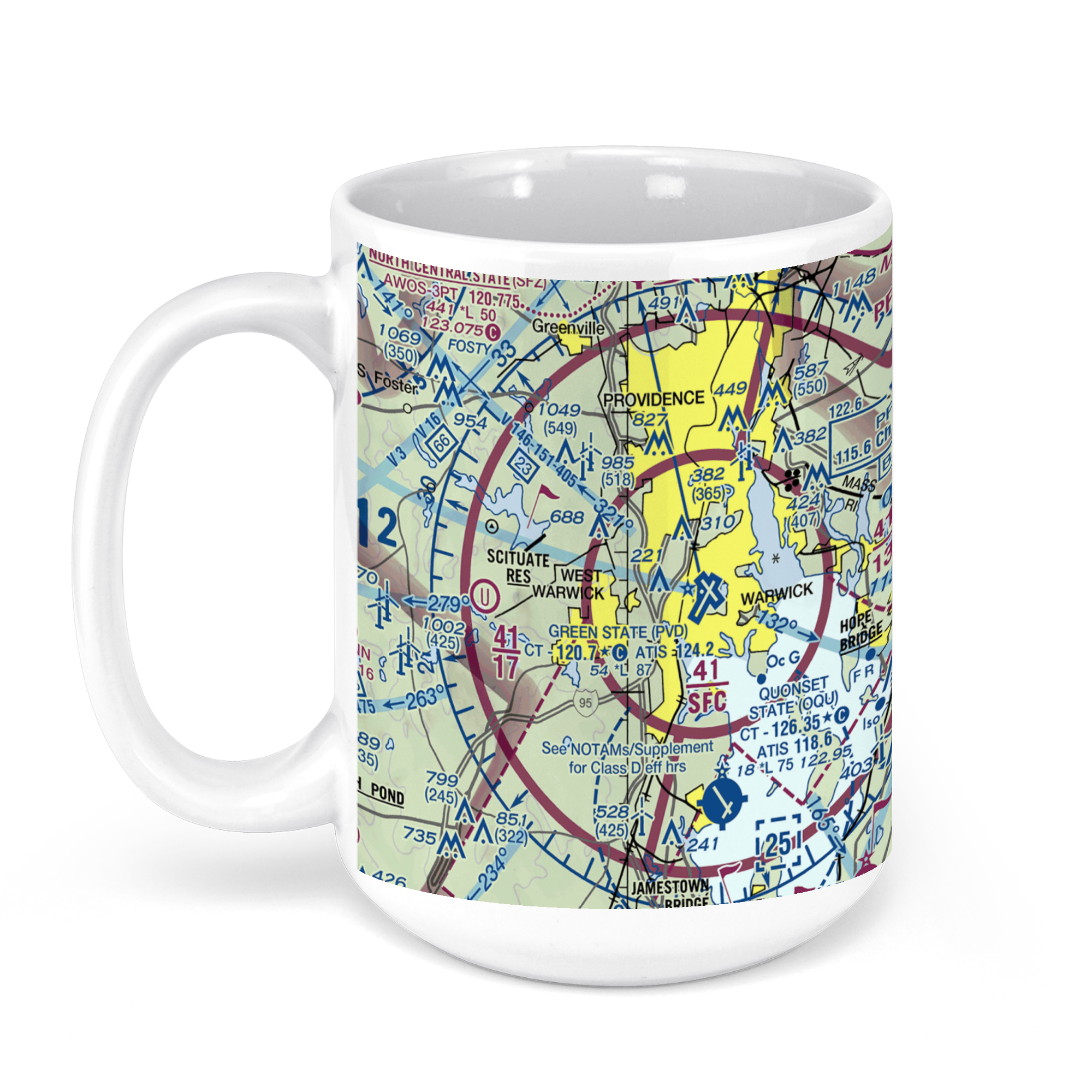
Theodore Francis Green State Airport (PVD), Post Road, Warwick, RI, USA FAA Sectional Aeronautical Charts Chart Mug
From: $18.95MIX, MATCH & SAVE! UP TO 25% OFFDistance from your search: 3585.6mi -
 11oz From $14.21 15oz From $16.46
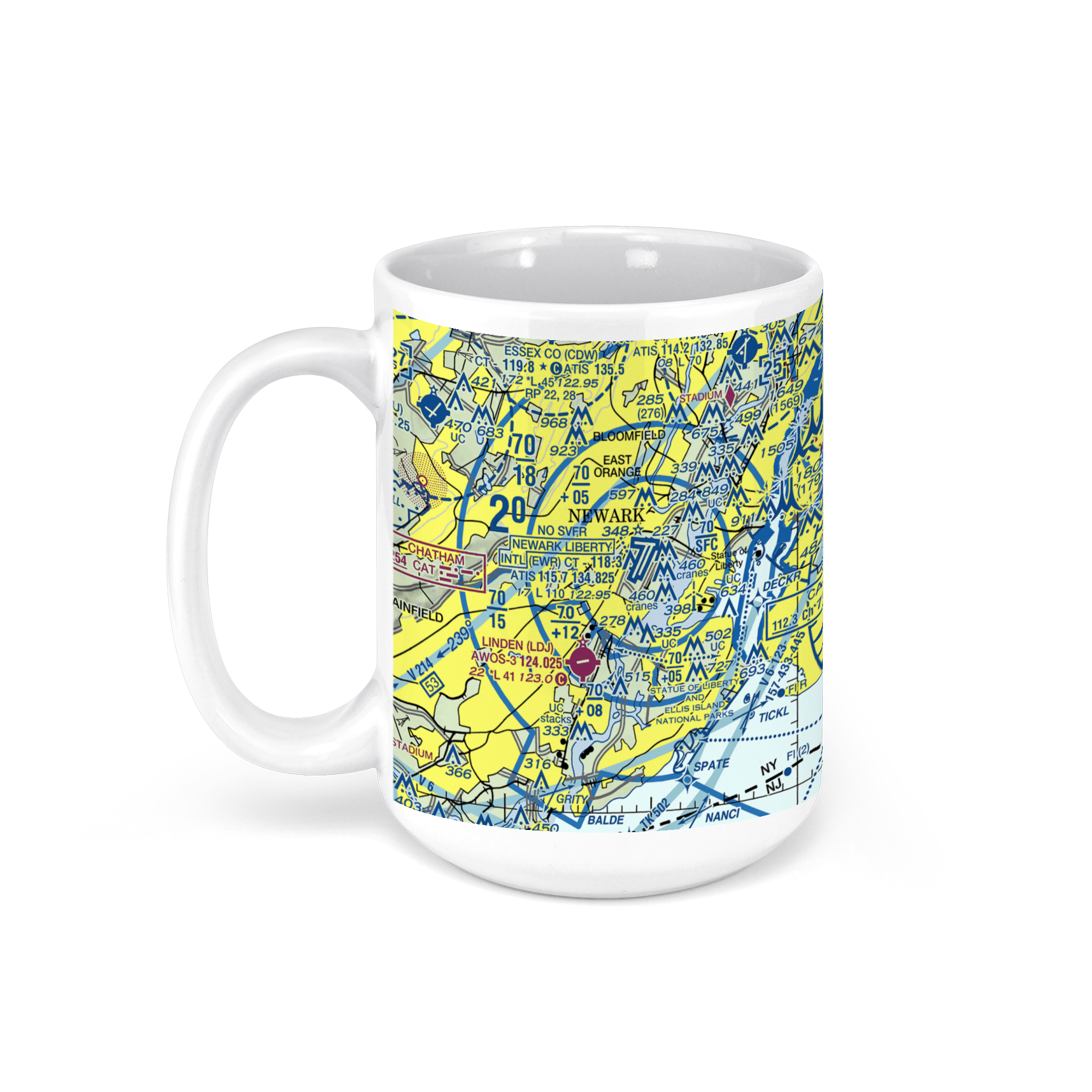
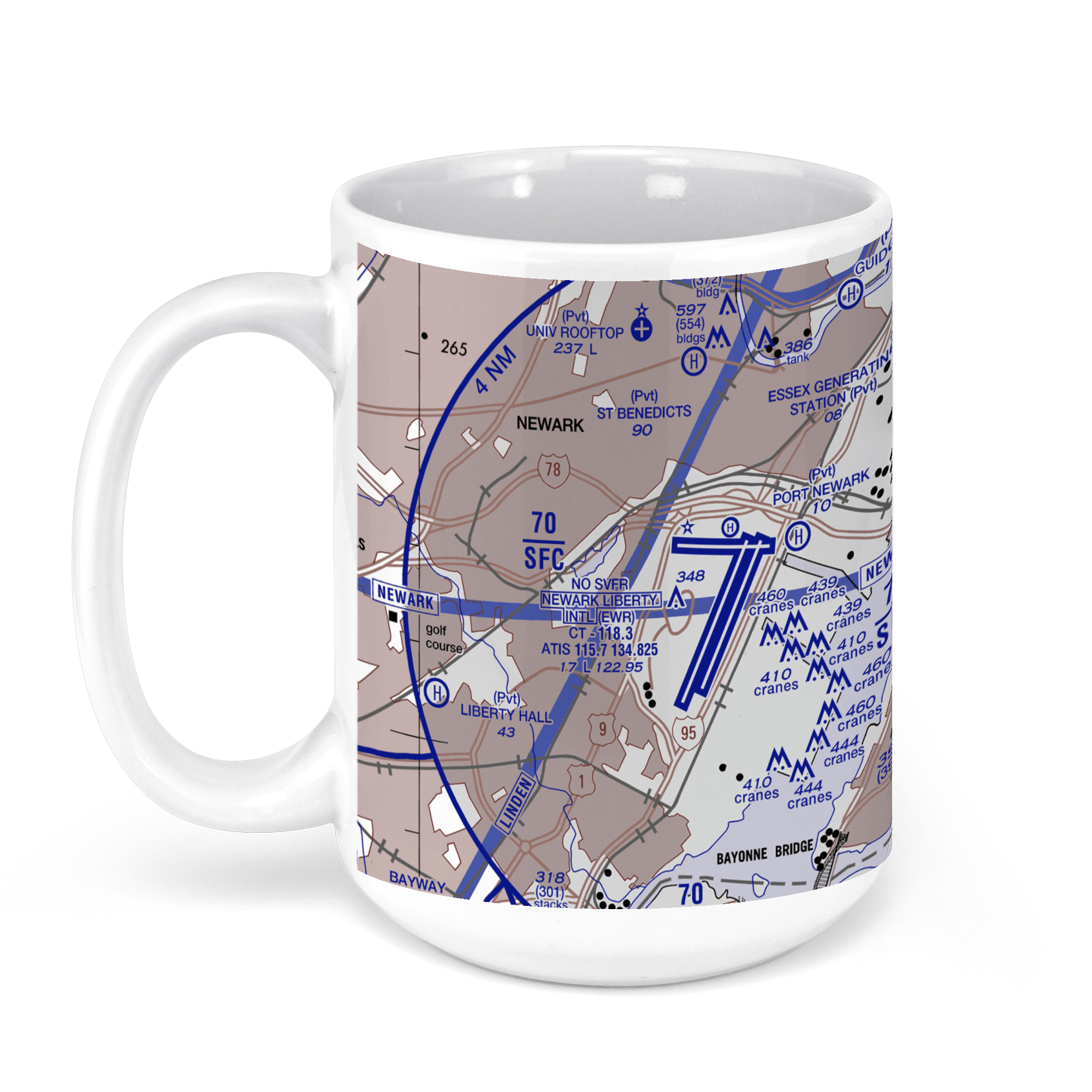
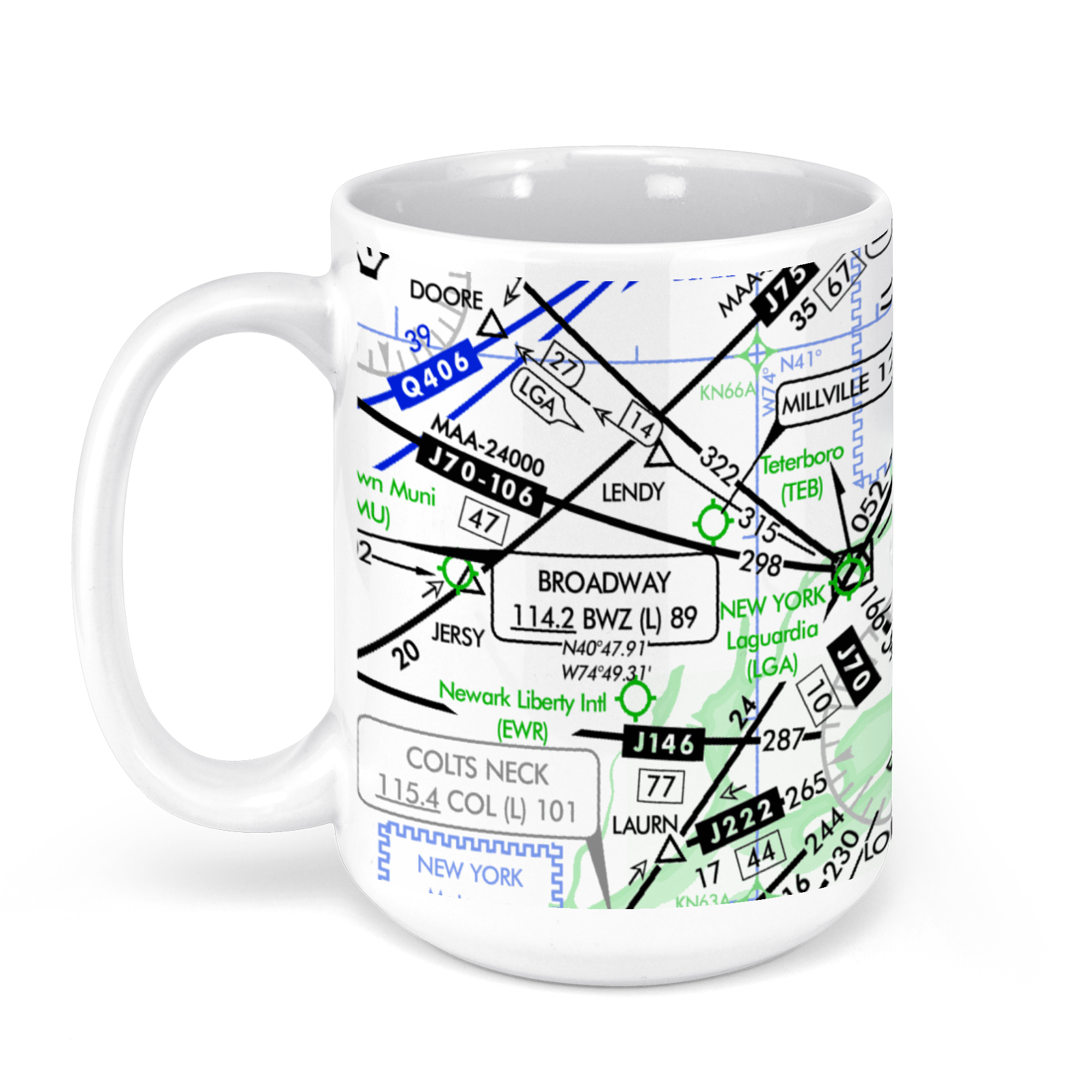
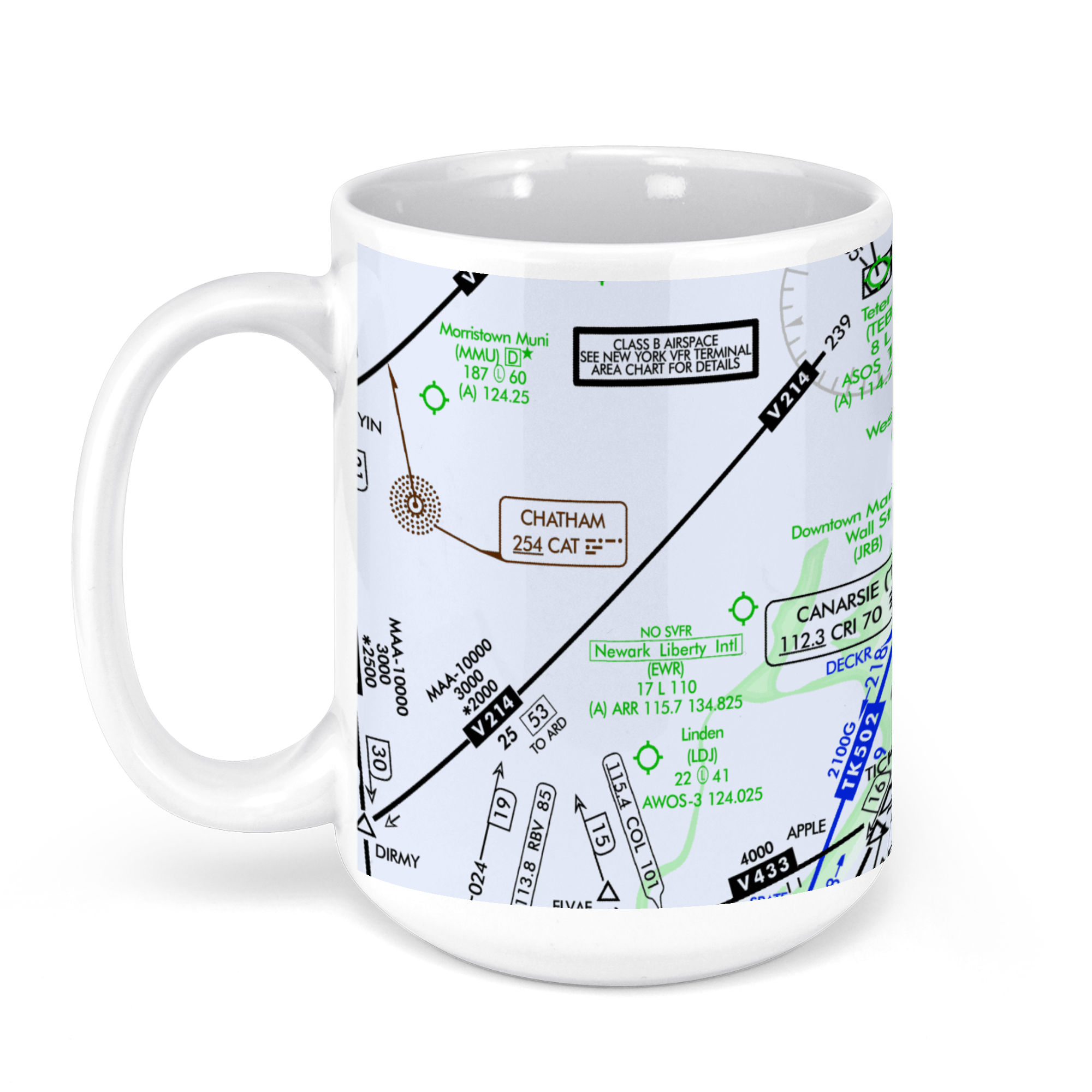
Newark Liberty International Airport, Newark, NJ, USA FAA Sectional Aeronautical Charts Chart Mug
From: $18.95MIX, MATCH & SAVE! UP TO 25% OFFDistance from your search: 3585.9mi -
Distance from your search: 3585.9mi
-
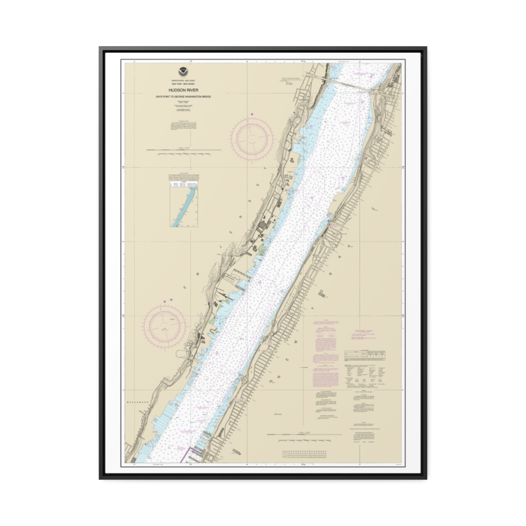
Hudson River Days Point to George Washington Bridge Nautical Chart 12341 – Floating Frame Canvas
From: $184.95PREMIUM FLOATING FRAME CANVASDistance from your search: 3585.9mi -
North Shore of Long Island Sound Guilford Harbor to Farm River Nautical Chart 12373 – Floating Frame Canvas
From: $184.95PREMIUM FLOATING FRAME CANVASDistance from your search: 3586.8mi -
 11oz From $14.21 15oz From $16.46
Newark Airport (EWR), Brewster Road, Newark, NJ, USA FAA US Helicopter Route Charts Chart Mug
From: $18.95MIX, MATCH & SAVE! UP TO 25% OFFDistance from your search: 3587.2mi -
 11oz From $14.21 15oz From $16.46
Newark Airport (EWR), Brewster Road, Newark, NJ, USA FAA Aeronautical US IFR Enroute High Charts Chart Mug
From: $18.95MIX, MATCH & SAVE! UP TO 25% OFFDistance from your search: 3587.2mi -
 11oz From $14.21 15oz From $16.46
Newark Airport (EWR), Brewster Road, Newark, NJ, USA FAA Aeronautical US IFR Enroute Low Charts Chart Mug
From: $18.95MIX, MATCH & SAVE! UP TO 25% OFFDistance from your search: 3587.2mi -
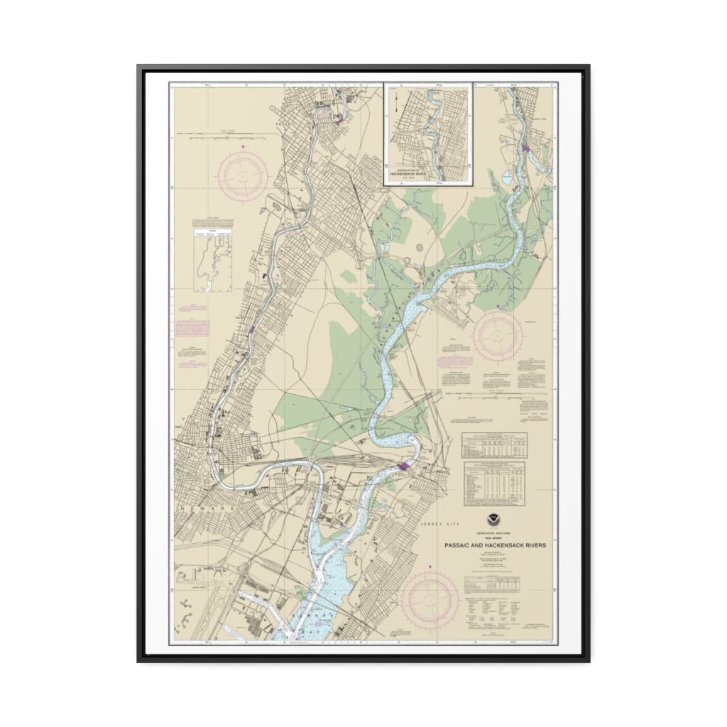
Passaic and Hackensack Rivers Nautical Chart 12337 – Floating Frame Canvas
From: $184.95PREMIUM FLOATING FRAME CANVASDistance from your search: 3587.4mi