- Display 24 Products per page
-
Distance from your search: 3637.5mi
-
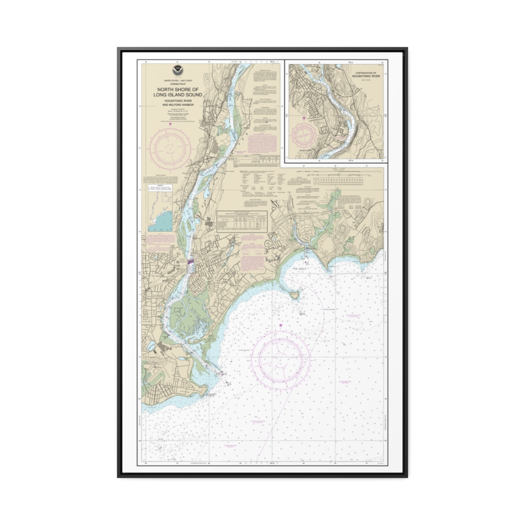
North Shore of Long Island Sound Housatonic River and Milford Harbor Nautical Chart 12370 – Floating Frame Canvas
From: $164.95PREMIUM FLOATING FRAME CANVASDistance from your search: 3637.6mi -
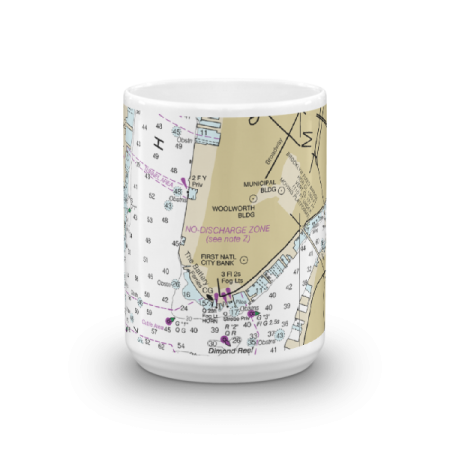 11oz From $14.21 15oz From $16.46
The Battery Chart Mug
From: $18.95MIX, MATCH & SAVE! UP TO 25% OFFDistance from your search: 3637.7mi -
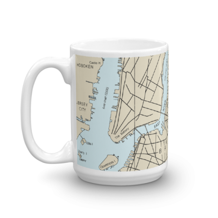 11oz From $14.21 15oz From $16.46
The Battery with Liberty Island Chart Mug
From: $18.95MIX, MATCH & SAVE! UP TO 25% OFFDistance from your search: 3637.9mi -
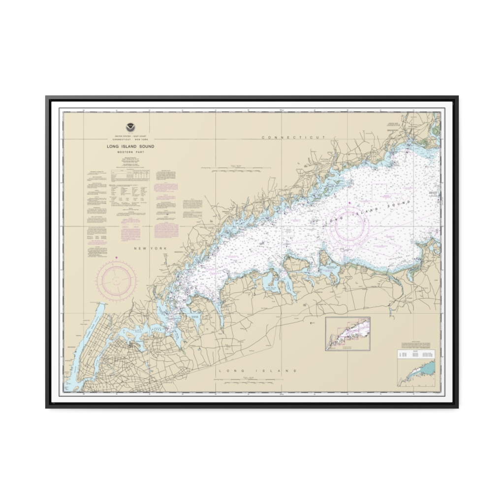
Long Island Sound Western Part Nautical Chart 12363 – Floating Frame Canvas
From: $184.95PREMIUM FLOATING FRAME CANVASDistance from your search: 3637.9mi -
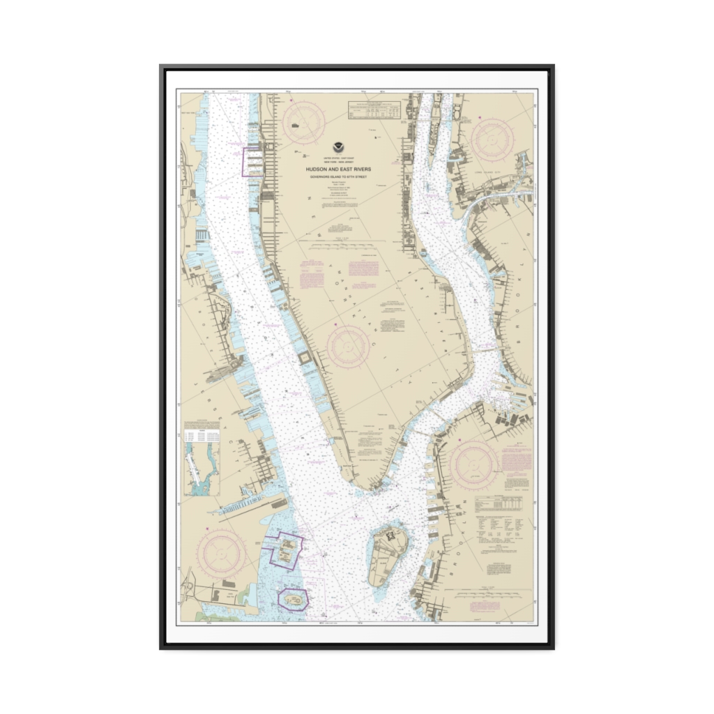
Hudson and East Rivers Governors Island to 67th Street Nautical Chart 12335 – Floating Frame Canvas
From: $164.95PREMIUM FLOATING FRAME CANVASDistance from your search: 3638.5mi -
Connecticut River Deep River to Bodkin Rock Nautical Chart 12377 – Floating Frame Canvas
From: $139.95PREMIUM FLOATING FRAME CANVASDistance from your search: 3638.6mi -
East River Newtown Creek Nautical Chart 12338 – Floating Frame Canvas
From: $139.95PREMIUM FLOATING FRAME CANVASDistance from your search: 3638.8mi -
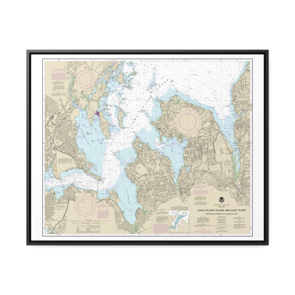
Long Island Sound and East River Hempstead Harbor to Tallman Island Nautical Chart 12366 – Floating Frame Canvas
From: $184.95PREMIUM FLOATING FRAME CANVASDistance from your search: 3639mi -
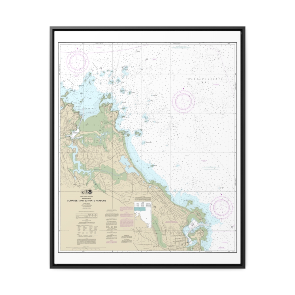
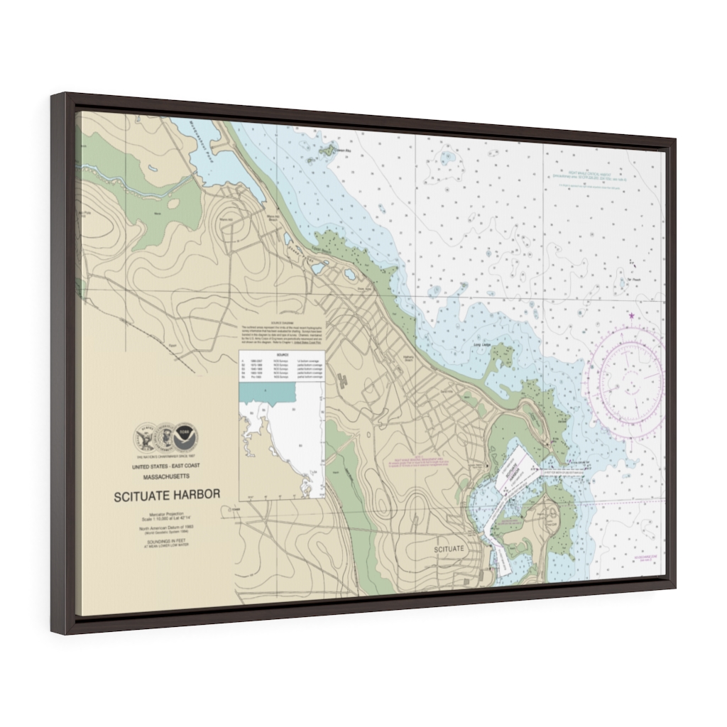
Cohasset and Scituate Harbors Nautical Chart 13269 – Floating Frame Canvas
From: $184.95PREMIUM FLOATING FRAME CANVASDistance from your search: 3639.5mi -
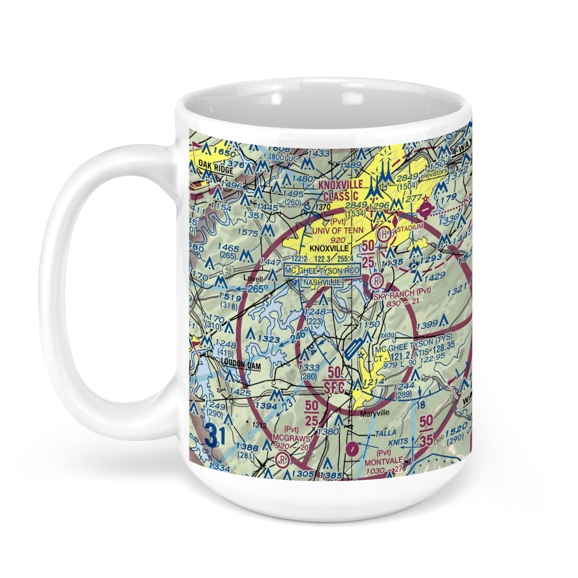 11oz From $14.21 15oz From $16.46
McGhee Tyson Airport (TYS), Alcoa Highway, Alcoa, TN, USA FAA Sectional Aeronautical Charts Chart Mug
From: $18.95MIX, MATCH & SAVE! UP TO 25% OFFDistance from your search: 3639.7mi -
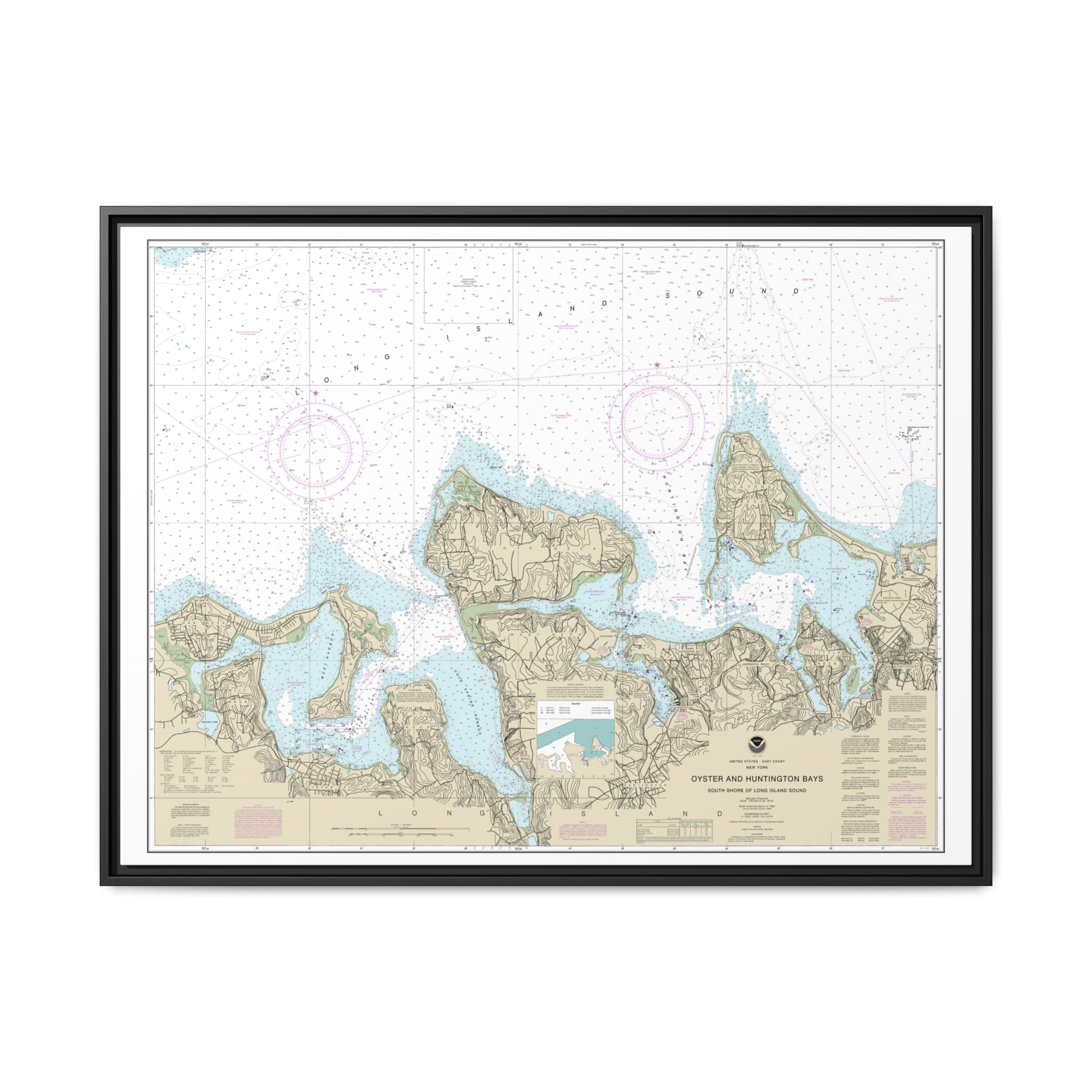
South Shore of Long Island Sound Oyster and Huntington Bays Nautical Chart 12365 – Floating Frame Canvas
From: $184.95PREMIUM FLOATING FRAME CANVASDistance from your search: 3640.9mi -
Distance from your search: 3640.9mi
-
Distance from your search: 3640.9mi
-
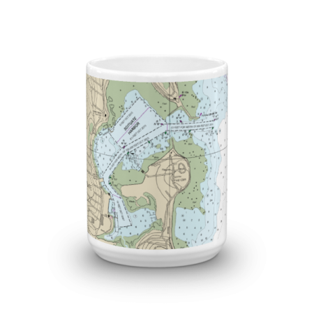 11oz From $14.21 15oz From $16.46
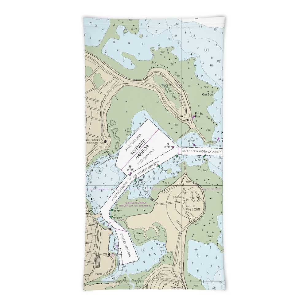
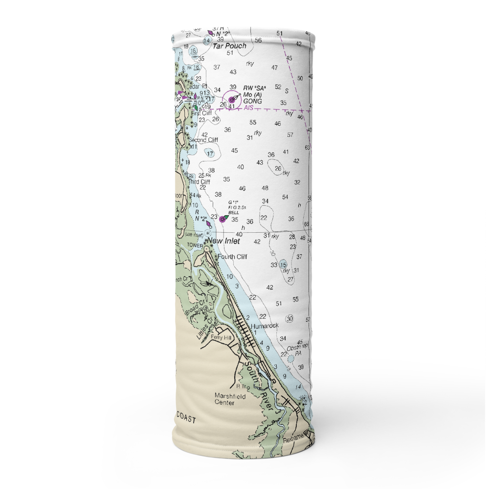
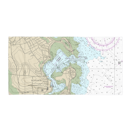
Scituate Harbor Chart Mug
From: $18.95MIX, MATCH & SAVE! UP TO 25% OFFDistance from your search: 3640.9mi -
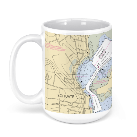 11oz From $14.21 15oz From $16.46
Scituate Harbor, Scituate, MA, USA NOAA Nautical Charts Chart Mug
From: $18.95MIX, MATCH & SAVE! UP TO 25% OFFDistance from your search: 3640.9mi -
Distance from your search: 3640.9mi
-
Distance from your search: 3640.9mi
-
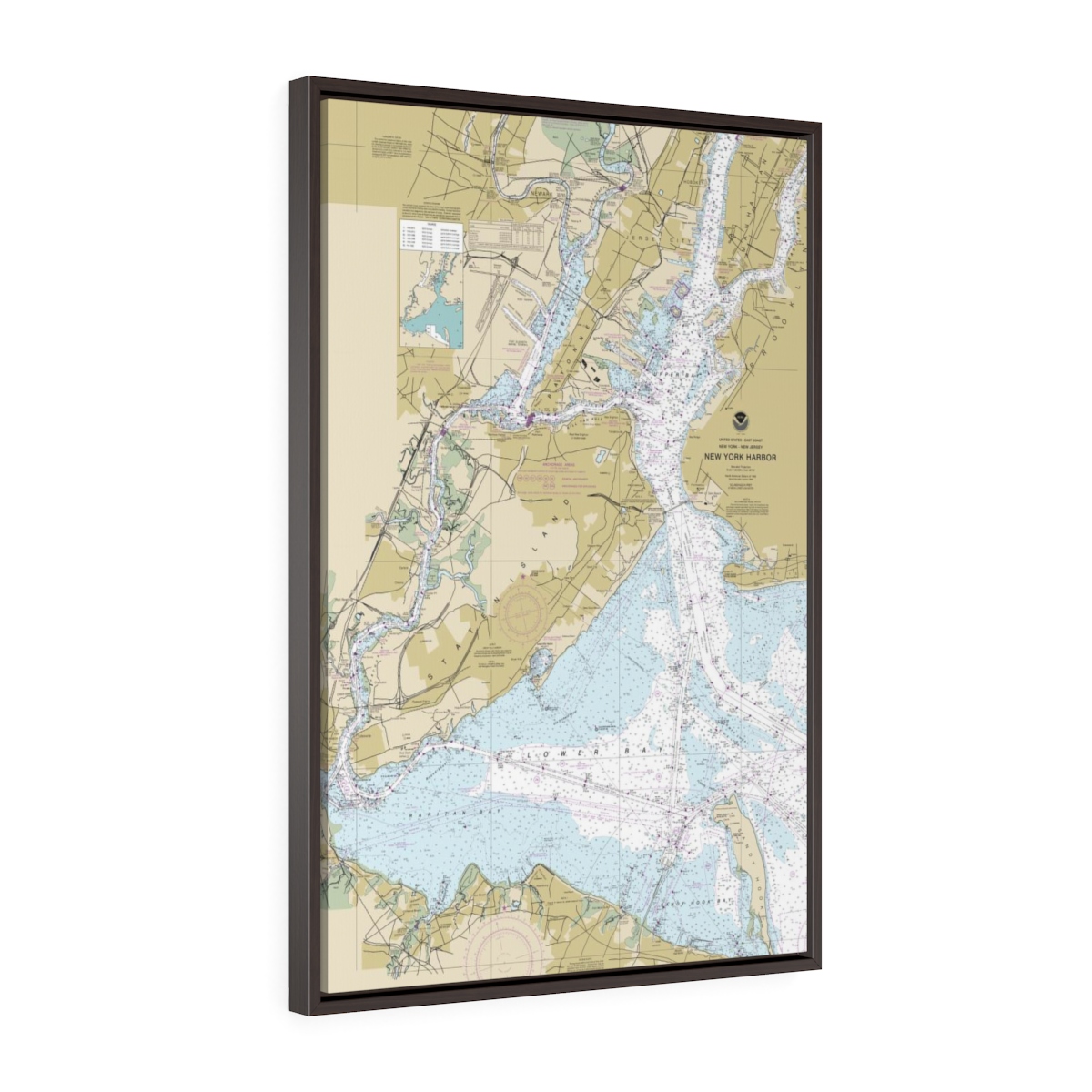
New York City (NYC) Harbor Entrance Floating Frame Canvas Nautical Chart
From: $82.00PREMIUM FLOATING FRAME CANVASDistance from your search: 3641.3mi -
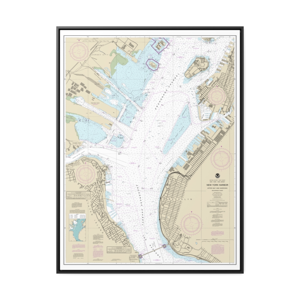
New York Harbor Upper Bay and Narrows-Anchorage Chart Nautical Chart 12334 – Floating Frame Canvas
From: $184.95PREMIUM FLOATING FRAME CANVASDistance from your search: 3641.5mi -
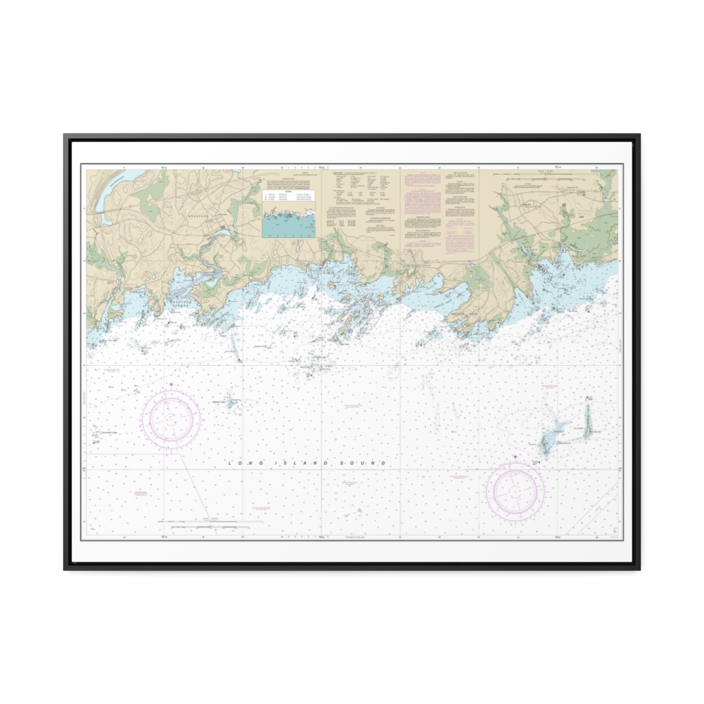
North Shore of Long Island Sound Guilford Harbor to Farm River Nautical Chart 12373 – Floating Frame Canvas
From: $184.95PREMIUM FLOATING FRAME CANVASDistance from your search: 3641.8mi -
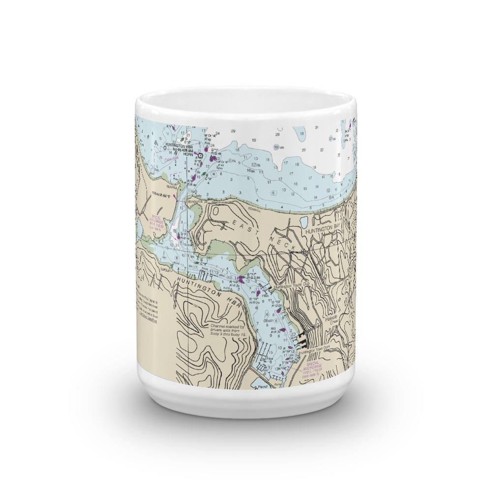 11oz From $14.21 15oz From $16.46
Huntington Harbor Nautical Chart Mug
From: $18.95MIX, MATCH & SAVE! UP TO 25% OFFDistance from your search: 3642.8mi -
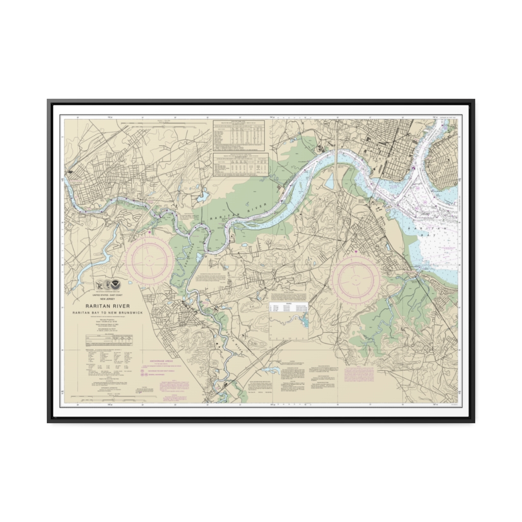
Raritan River Raritan Bay to New Brunswick Nautical Chart 12332 – Floating Frame Canvas
From: $184.95PREMIUM FLOATING FRAME CANVASDistance from your search: 3642.9mi -
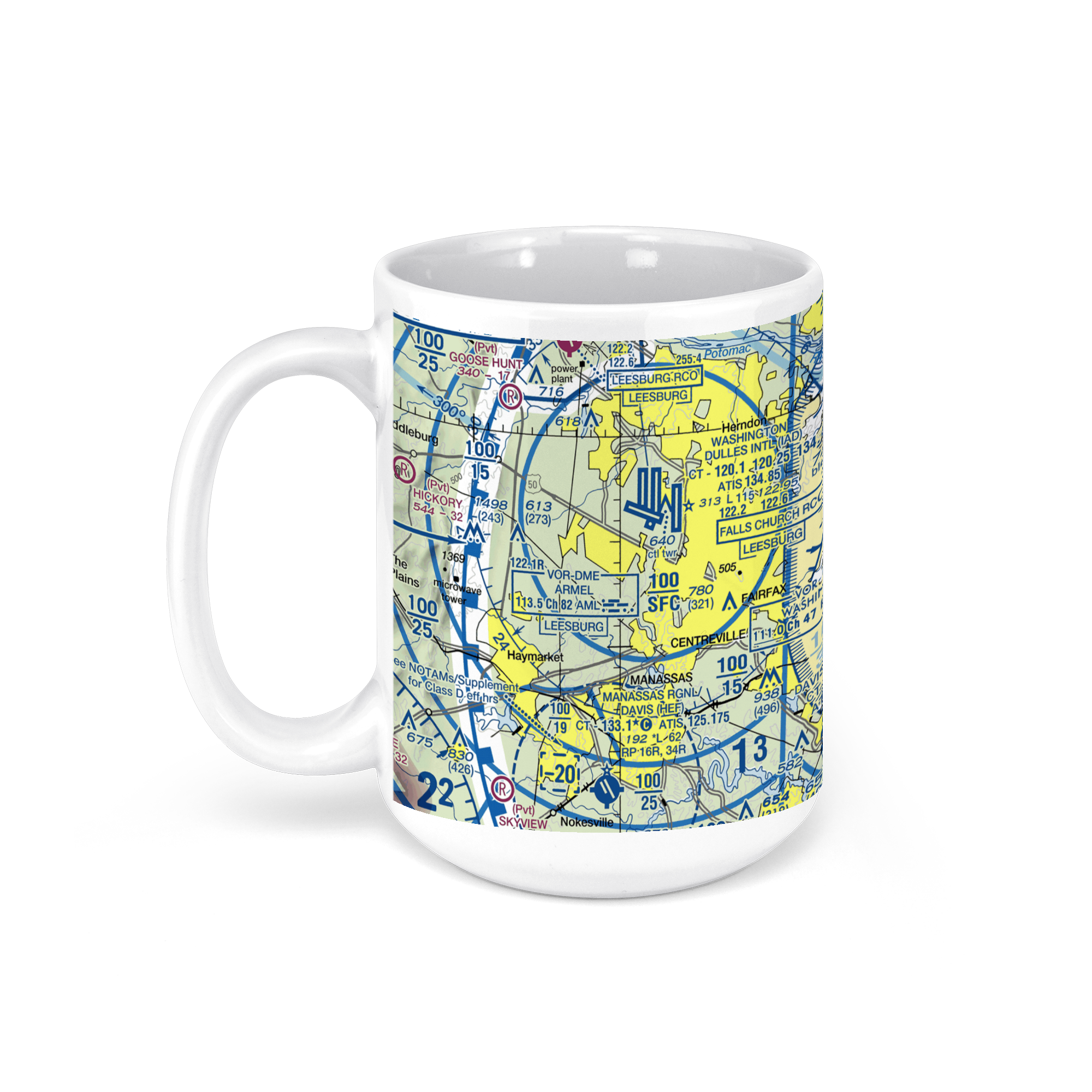 11oz From $14.21 15oz From $16.46
WASHINGTON DULLES Intl airport (IAD), Saarinen Circle, Dulles, VA, USA FAA Sectional Aeronautical Charts Chart Mug
From: $18.95MIX, MATCH & SAVE! UP TO 25% OFFDistance from your search: 3643.3mi


