- Display 24 Products per page
-
Distance from your search: 477.5mi
-
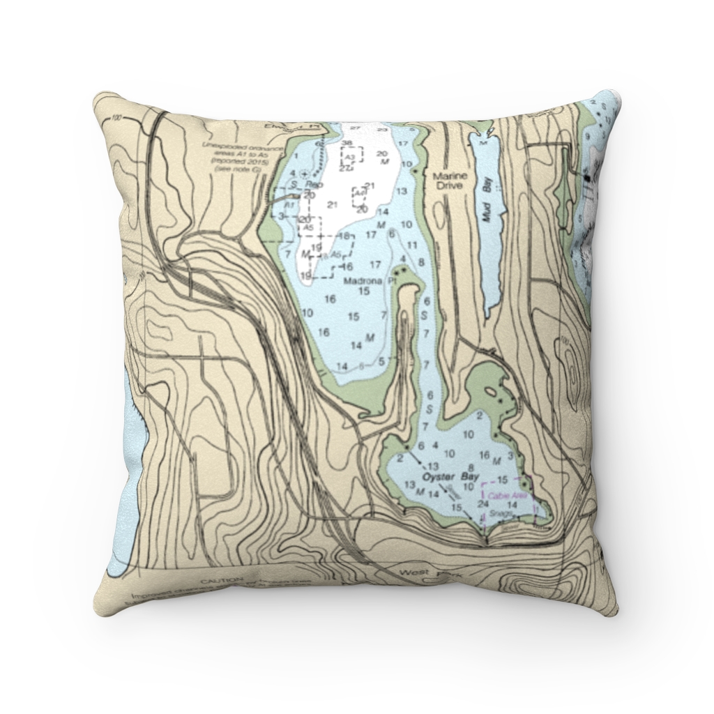
Oyster Bay, Bremerton Reverse Side Nautical Chart Premium Faux Suede Square Pillow
From: $44.95PREMIUM FAUX SUEDEDistance from your search: 478.8mi -
Distance from your search: 478.8mi
-
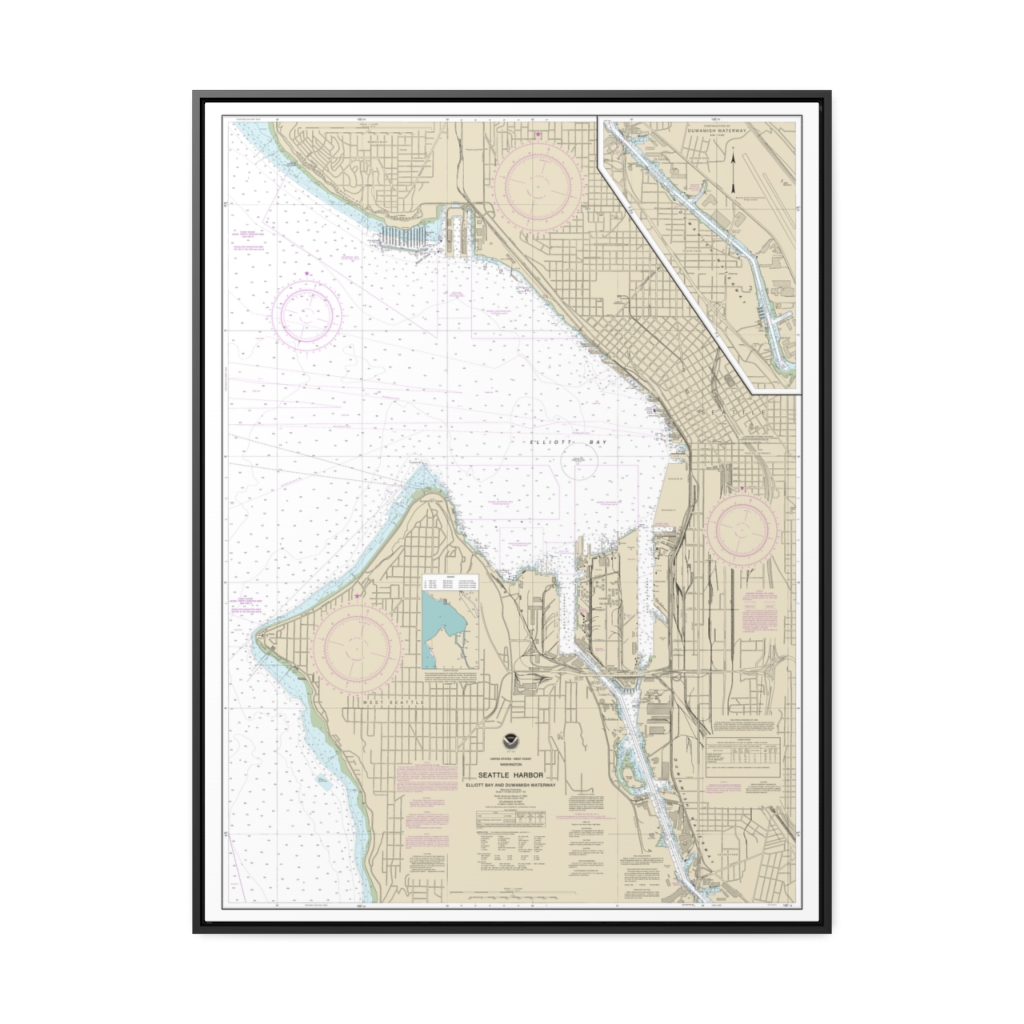
Seattle Harbor, Elliott Bay and Duwamish Waterway Nautical Chart 18450 – Floating Frame Canvas
From: $184.95PREMIUM FLOATING FRAME CANVASDistance from your search: 478.9mi -
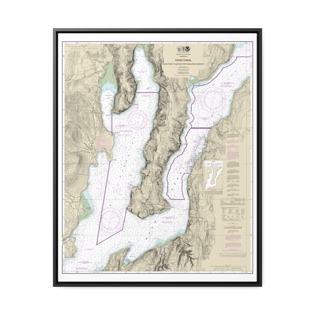
Hood Canal-South Point to Quatsap Point including Dabob Bay Nautical Chart 18458 – Floating Frame Canvas
From: $184.95PREMIUM FLOATING FRAME CANVASDistance from your search: 481.4mi -
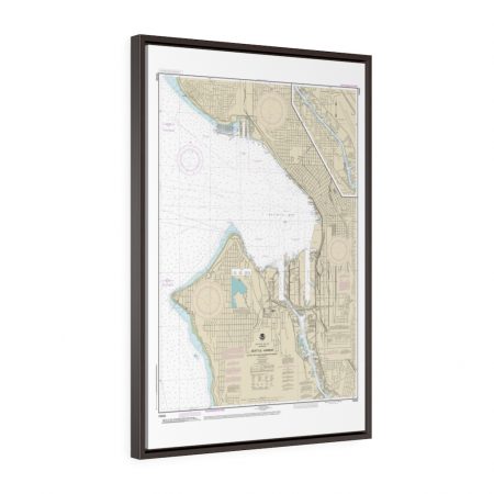
Seattle Harbor, Elliott Bay and Duwamish Waterway Framed Wrapped Canvas Nautical Chart 18450
From: $73.25PREMIUM FLOATING FRAME CANVASDistance from your search: 482.2mi -
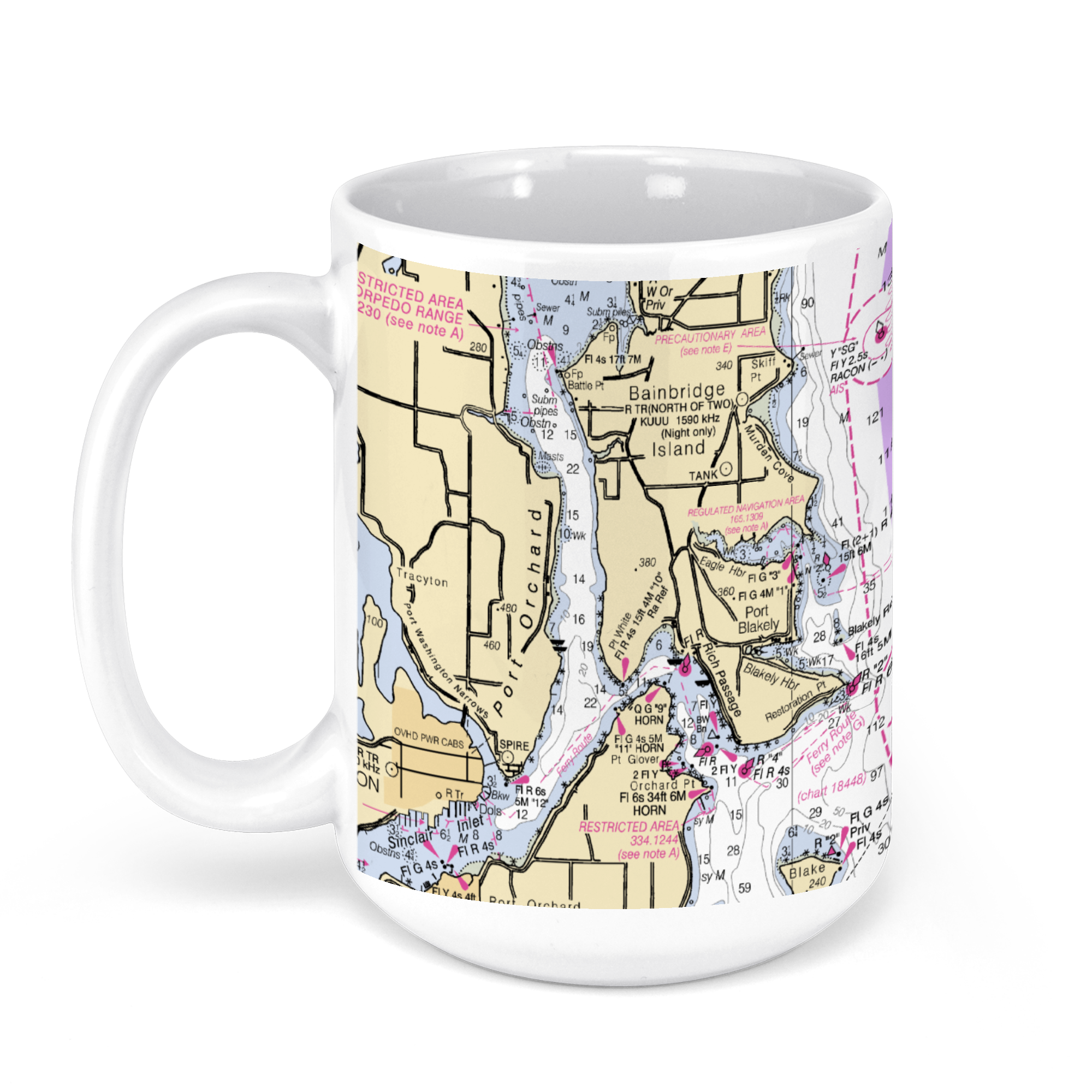 11oz From $14.21 15oz From $16.46
Bellevue, WA, USA NOAA Nautical Charts Chart Mug
From: $18.95MIX, MATCH & SAVE! UP TO 25% OFFDistance from your search: 485.7mi -
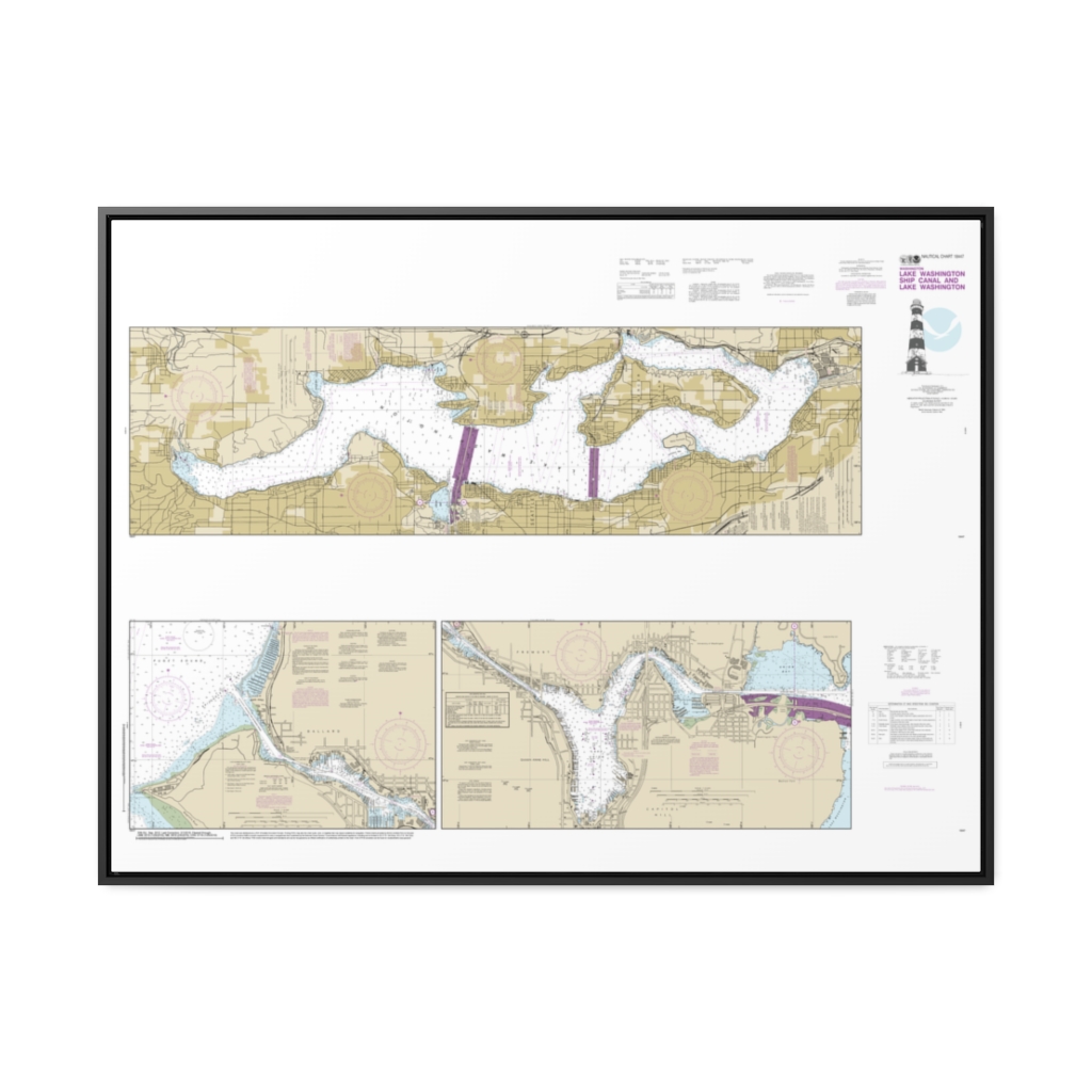
Lake Washington Ship Canal and Lake Washington Nautical Chart 18447 – Floating Frame Canvas
From: $164.95PREMIUM FLOATING FRAME CANVASDistance from your search: 486.6mi -
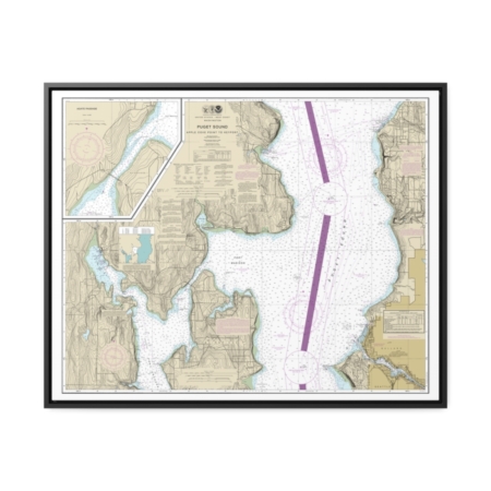
Puget Sound-Apple Cove Point to Keyport Agate Passage Nautical Chart 18446 – Floating Frame Canvas
From: $184.95PREMIUM FLOATING FRAME CANVASDistance from your search: 488.6mi -
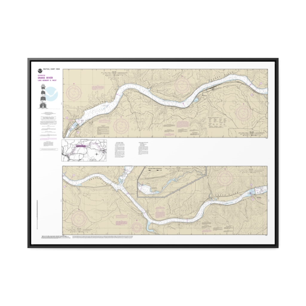
Snake River-Lake Herbert G. West Nautical Chart 18546 – Floating Frame Canvas
From: $164.95PREMIUM FLOATING FRAME CANVASDistance from your search: 490.8mi -
Distance from your search: 490.9mi
-
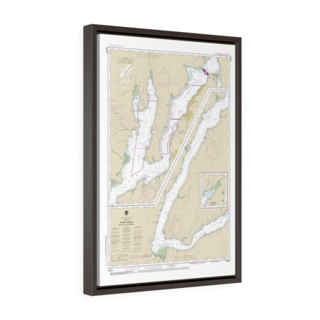
Puget Sound Hood Canal and Dabob Bay Floating Frame Canvas Nautical Chart
From: $119.95PREMIUM FLOATING FRAME CANVASDistance from your search: 490.9mi -
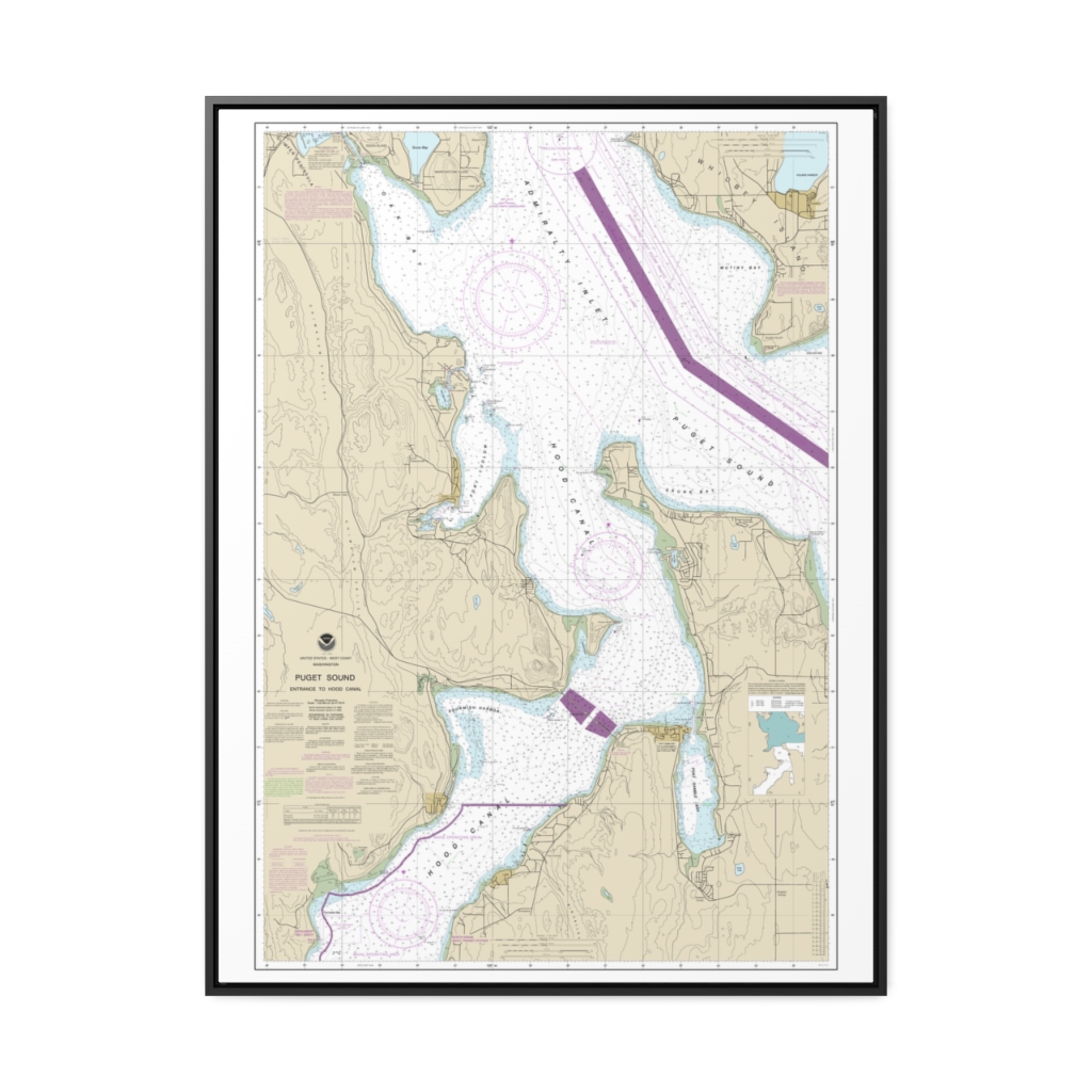
Puget Sound-Entrance to Hood Canal Nautical Chart 18477 – Floating Frame Canvas
From: $184.95PREMIUM FLOATING FRAME CANVASDistance from your search: 492.9mi -
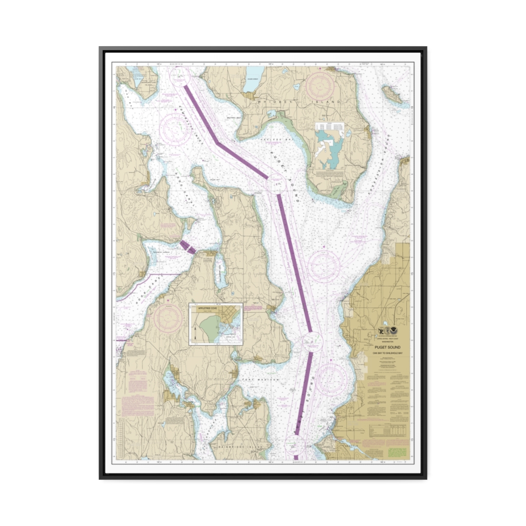
Puget Sound-Oak Bay to Shilshole Bay Nautical Chart 18473 – Floating Frame Canvas
From: $184.95PREMIUM FLOATING FRAME CANVASDistance from your search: 495.2mi -
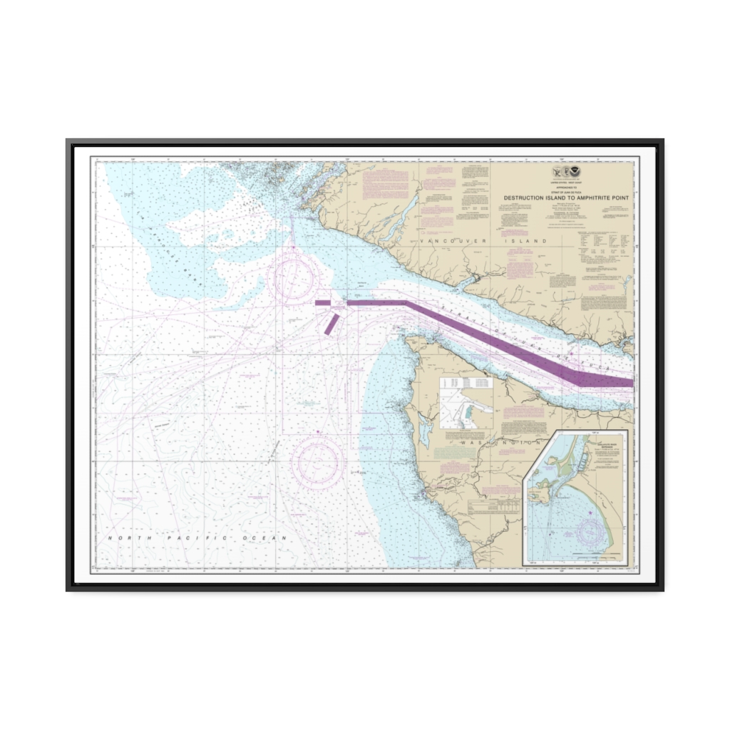
Approaches to Strait of Juan de Fuca Destruction lsland to Amphitrite Point Nautical Chart 18480 – Floating Frame Canvas
From: $184.95PREMIUM FLOATING FRAME CANVASDistance from your search: 495.8mi -
 11oz From $14.21 15oz From $16.46
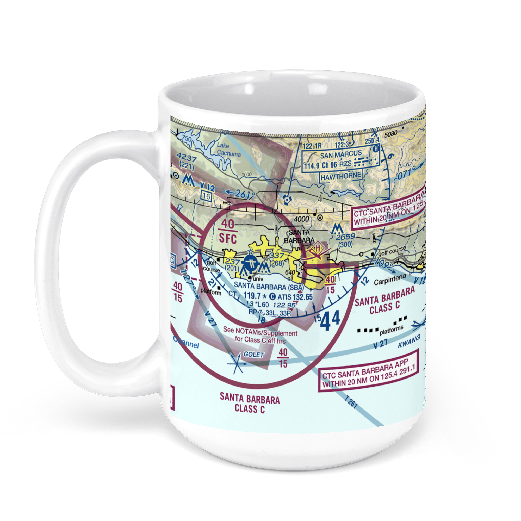
Santa Barbara Municipal Airport, SBA (SBA), James Fowler Road, Santa Barbara, CA, USA FAA Sectional Aeronautical Charts Chart Mug
From: $18.95MIX, MATCH & SAVE! UP TO 25% OFFDistance from your search: 496mi -
Santa Cruz Island to Purisima Point Nautical Chart 18721 – Floating Frame Canvas
From: $184.95PREMIUM FLOATING FRAME CANVASDistance from your search: 497.2mi -
Strait of Juan de Fuca-eastern part Nautical Chart 18465 – Floating Frame Canvas
From: $184.95PREMIUM FLOATING FRAME CANVASDistance from your search: 498.2mi -
 11oz From $14.21 15oz From $16.46
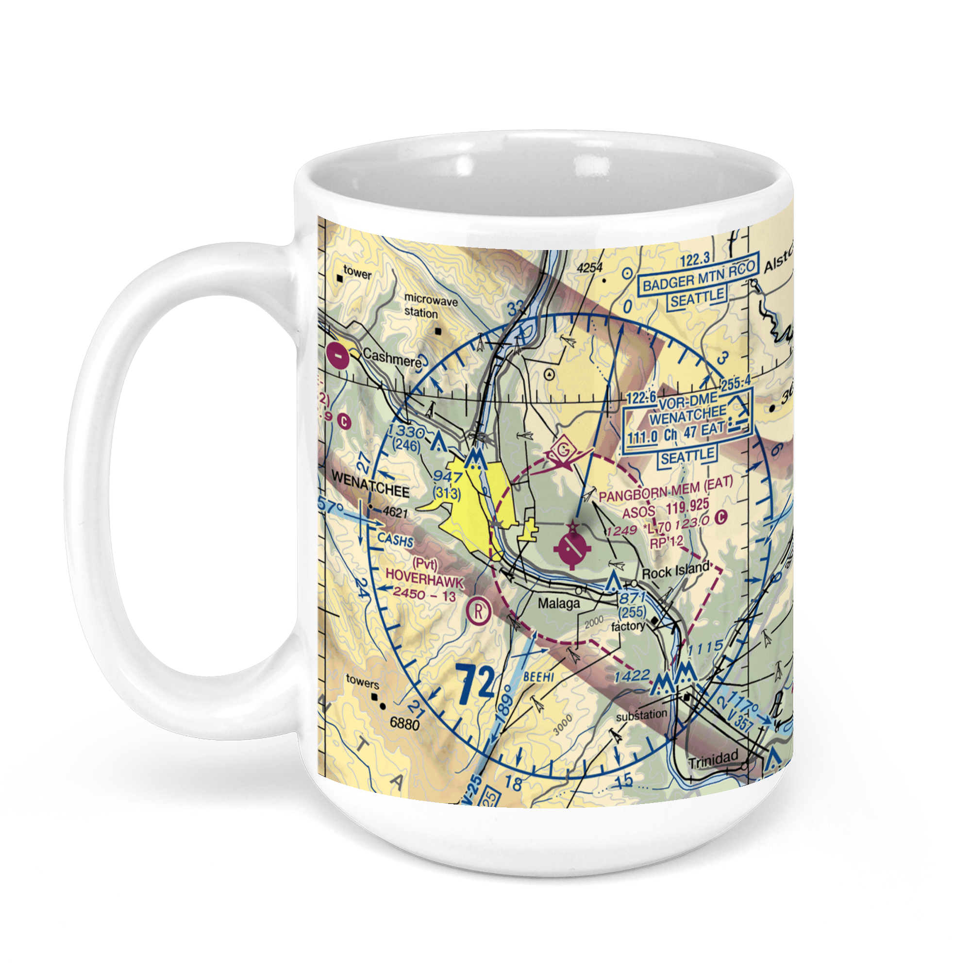
Pangborn Memorial Airport, Pangborn Drive, East Wenatchee, WA, USA FAA Sectional Aeronautical Charts Chart Mug
From: $18.95MIX, MATCH & SAVE! UP TO 25% OFFDistance from your search: 501.5mi -
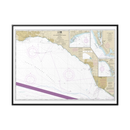
Port Hueneme to Santa Barbara Santa Barbara Channel Islands Harbor and Port Hueneme Ventura Nautical Chart 18725 – Floating Frame Canvas
From: $184.95PREMIUM FLOATING FRAME CANVASDistance from your search: 501.7mi -
Distance from your search: 502.7mi
-
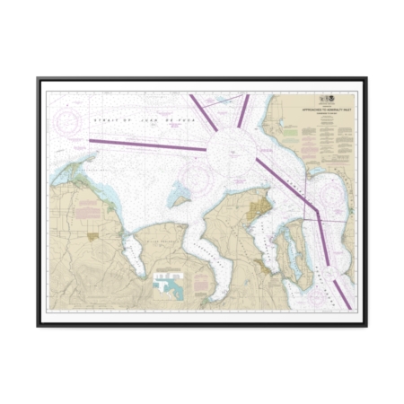
Approaches to Admiralty Inlet Dungeness to Oak Bay Nautical Chart 18471 – Floating Frame Canvas
From: $184.95PREMIUM FLOATING FRAME CANVASDistance from your search: 503.9mi -
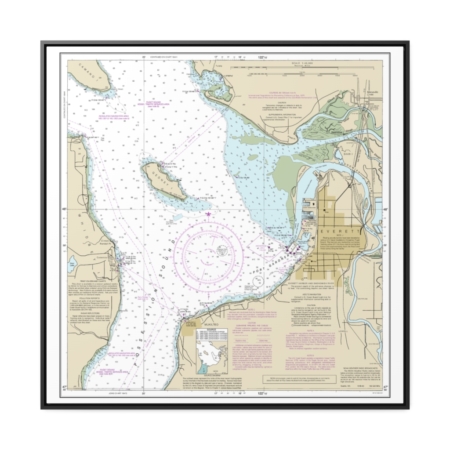
Approaches to Everett Nautical Chart 18443 – Floating Frame Canvas
From: $139.95PREMIUM FLOATING FRAME CANVASDistance from your search: 504.7mi -
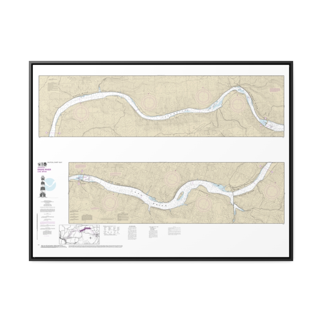
Snake River-Lake Bryon Nautical Chart 18547 – Floating Frame Canvas
From: $164.95PREMIUM FLOATING FRAME CANVASDistance from your search: 504.8mi