- Display 24 Products per page
-
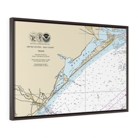
Freeport & Galveston Floating Frame Canvas Nautical Chart 11330
From: $124.95PREMIUM FLOATING FRAME CANVASDistance from your search: 1007.7mi -
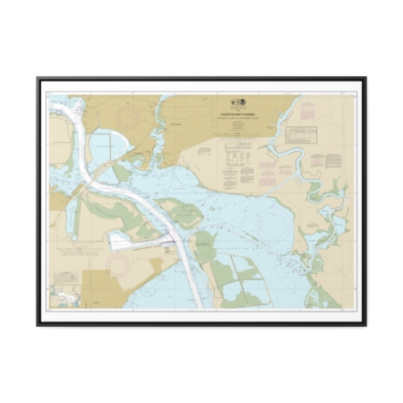
Houston Ship Channel Atkinson Island to Alexander Island Nautical Chart 11328 – Floating Frame Canvas
From: $184.95PREMIUM FLOATING FRAME CANVASDistance from your search: 1011.7mi -
 11oz From $14.21 15oz From $16.46
Topeka Regional Airport, SE Forbes Ave, Topeka, KS, USA FAA Sectional Aeronautical Charts Chart Mug
From: $18.95MIX, MATCH & SAVE! UP TO 25% OFFDistance from your search: 1013.8mi -
Distance from your search: 1013.9mi
-
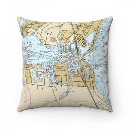
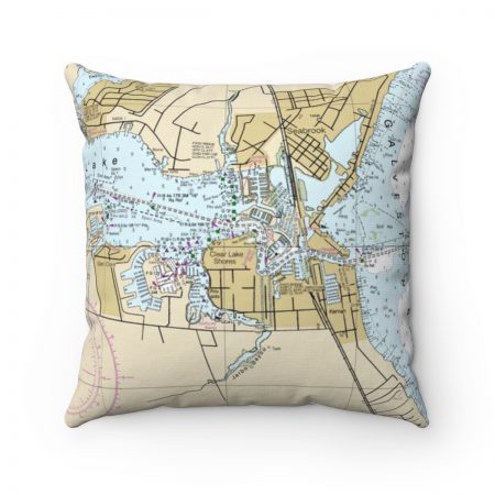
Seabrook, Kemah Texas with Galveston Bay Reverse Side Nautical Chart Premium Faux Suede Square Pillow
From: $44.95PREMIUM FAUX SUEDEDistance from your search: 1013.9mi -
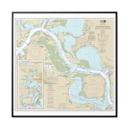
Houston Ship Channel Alexander Island to Carpenters Bayou San Jacinto and Old Rivers Nautical Chart 11329 – Floating Frame Canvas
From: $139.95PREMIUM FLOATING FRAME CANVASDistance from your search: 1014.7mi -
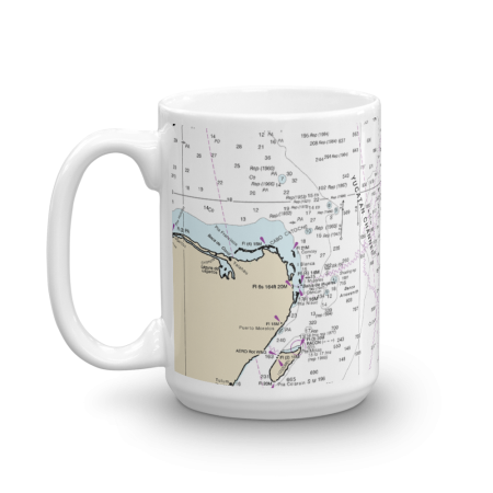 11oz From $14.21 15oz From $16.46
Cancun Mexico Nautical Chart Mug
From: $18.95MIX, MATCH & SAVE! UP TO 25% OFFDistance from your search: 1015.5mi -
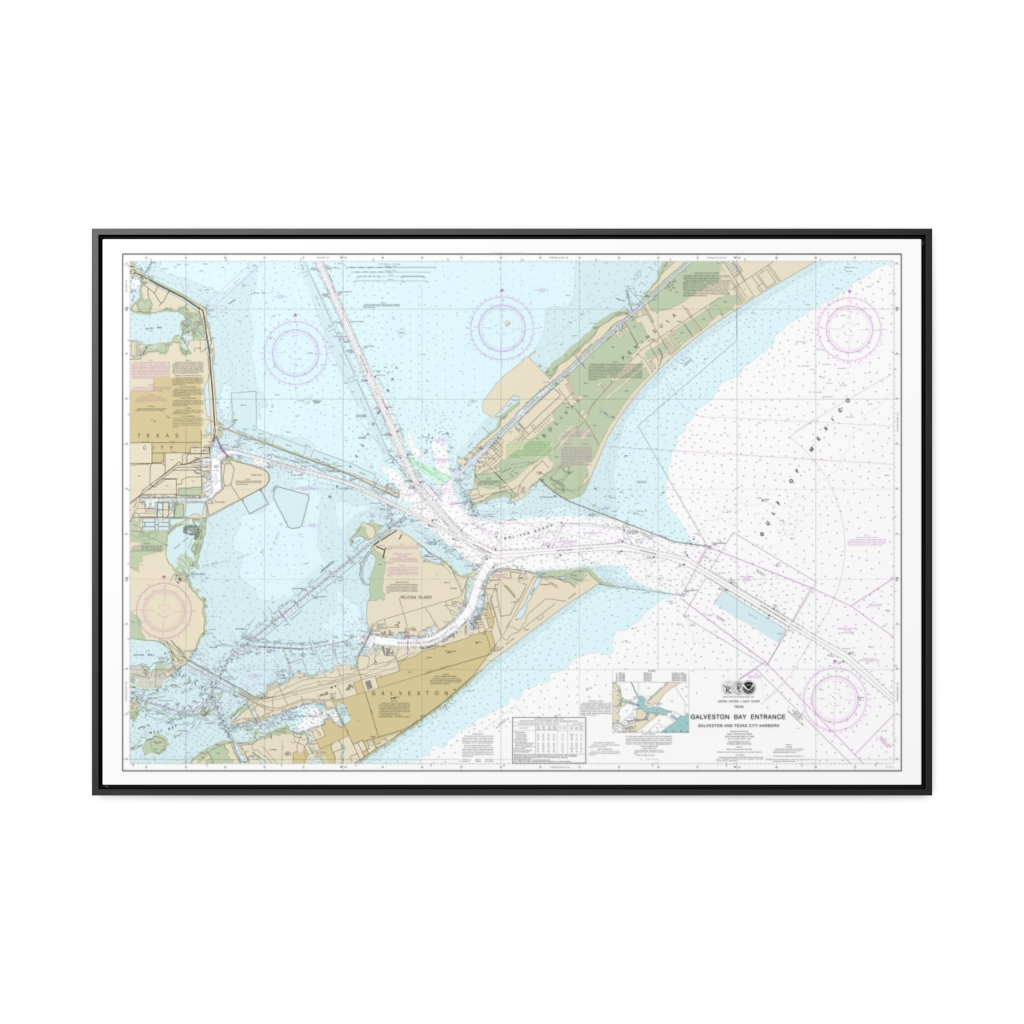
Galveston Bay Entrance Galveston and Texas City Harbors Nautical Chart 11324 – Floating Frame Canvas
From: $164.95PREMIUM FLOATING FRAME CANVASDistance from your search: 1015.7mi -
Grand Marais to Big Bay Point Big Bay Harbor Nautical Chart 14963 – Floating Frame Canvas
From: $184.95PREMIUM FLOATING FRAME CANVASDistance from your search: 1015.7mi -
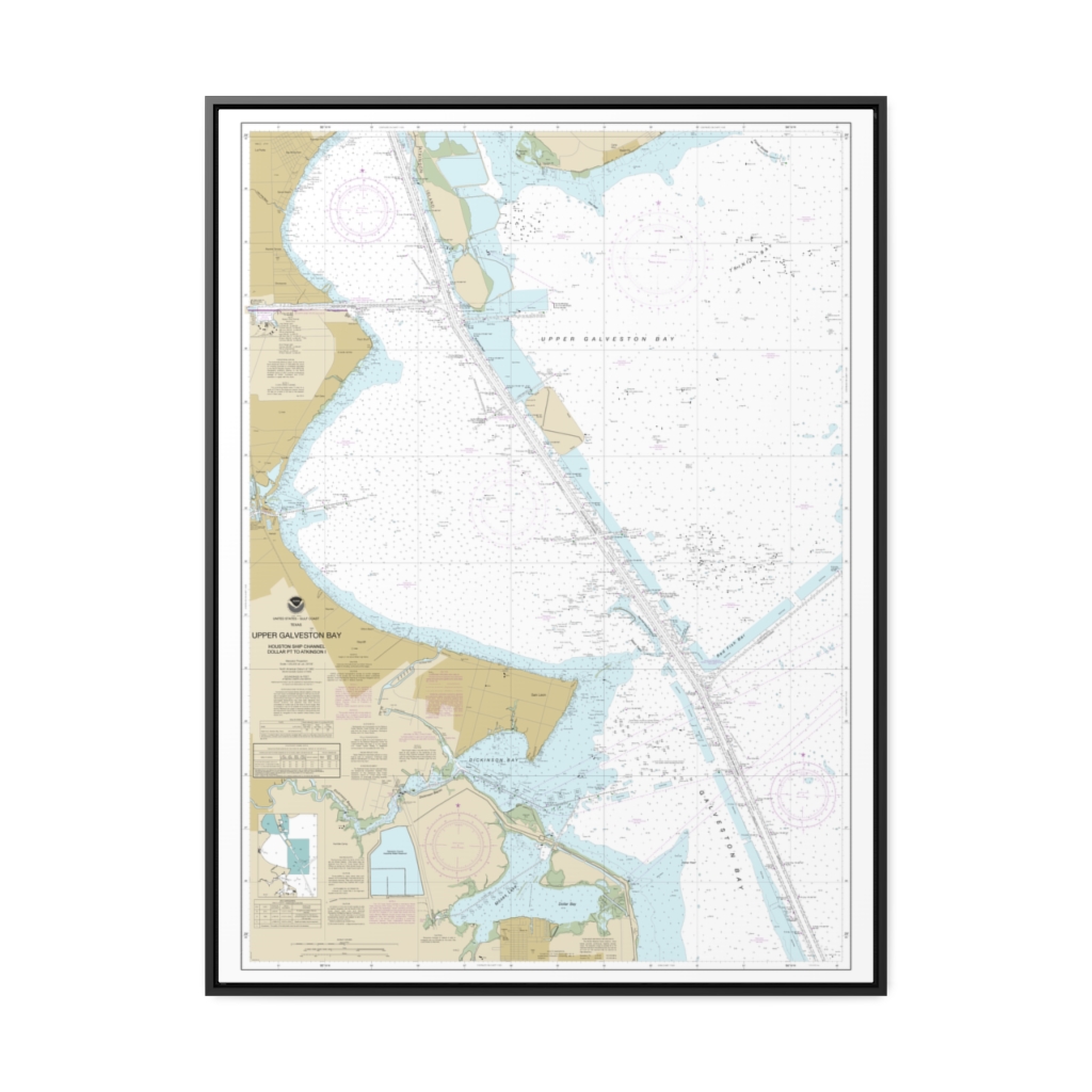
Upper Galveston Bay-Houston Ship Channel-Dollar Pt. to Atkinson Nautical Chart 11327 – Floating Frame Canvas
From: $184.95PREMIUM FLOATING FRAME CANVASDistance from your search: 1017.8mi -
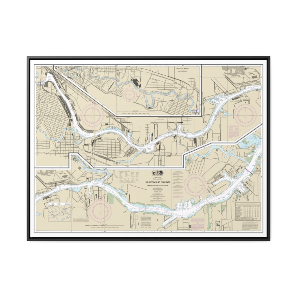
Houston Ship Channel Carpenters Bayou to Houston Nautical Chart 11325 – Floating Frame Canvas
From: $184.95PREMIUM FLOATING FRAME CANVASDistance from your search: 1019.5mi -
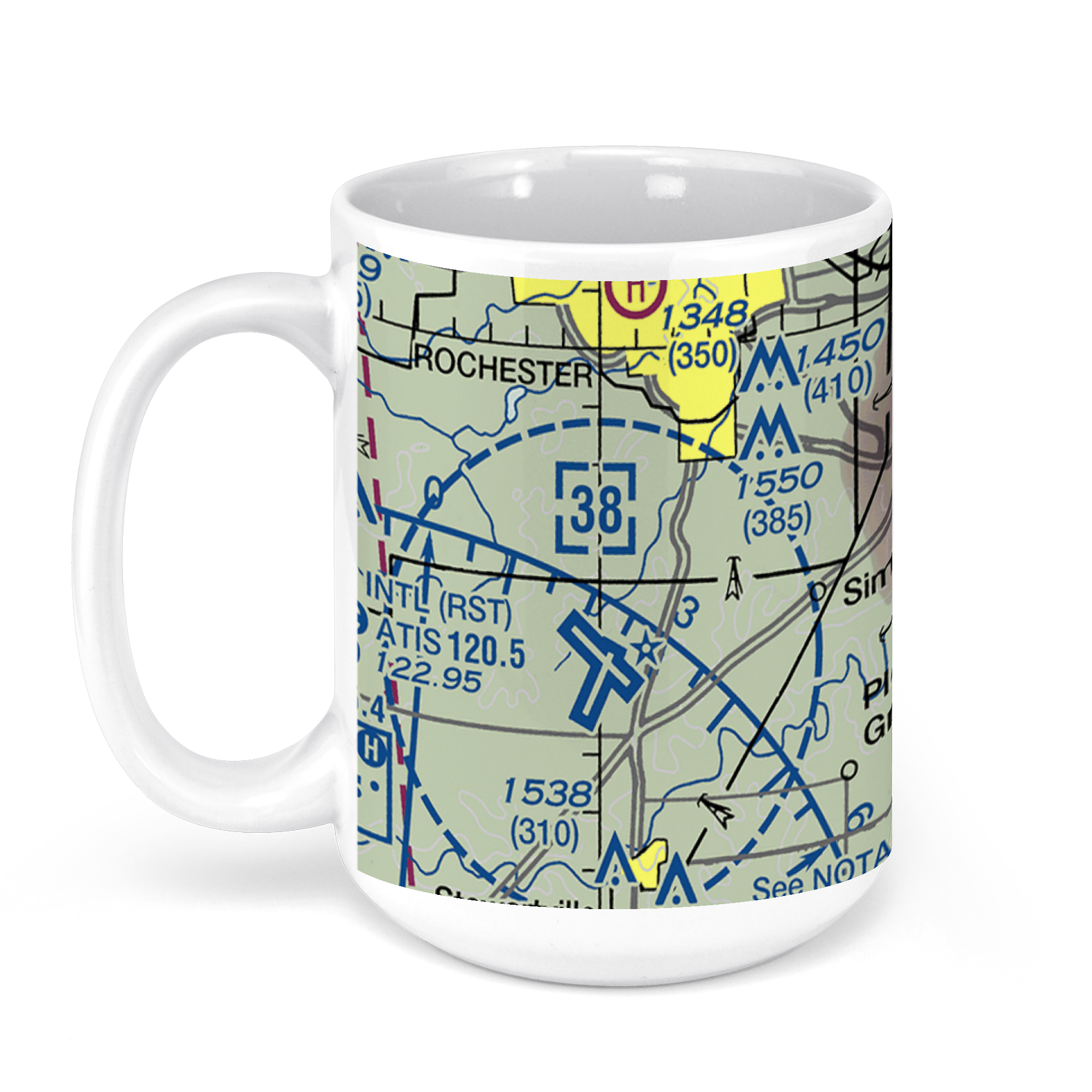 11oz From $14.21 15oz From $16.46
RST – Rochester Intl Airport, Helgerson Drive Southwest, Rochester, MN, USA FAA Sectional Aeronautical Charts Chart Mug
From: $18.95MIX, MATCH & SAVE! UP TO 25% OFFDistance from your search: 1019.8mi -
Distance from your search: 1020.9mi
-
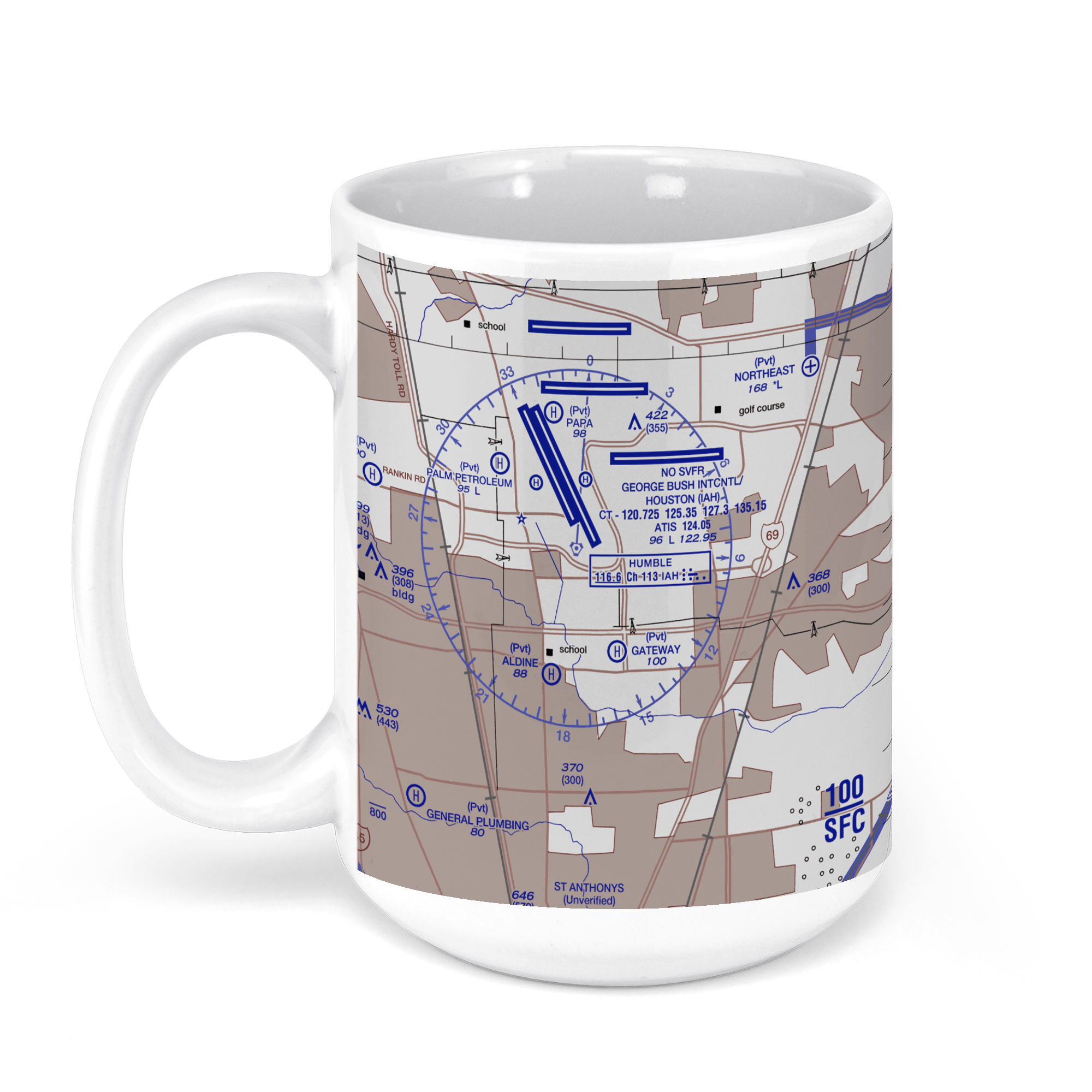 11oz From $14.21 15oz From $16.46
George Bush Intercontinental Airport (IAH), North Terminal Road, Houston, TX, USA FAA US Helicopter Route Charts Chart Mug
From: $18.95MIX, MATCH & SAVE! UP TO 25% OFFDistance from your search: 1020.9mi -
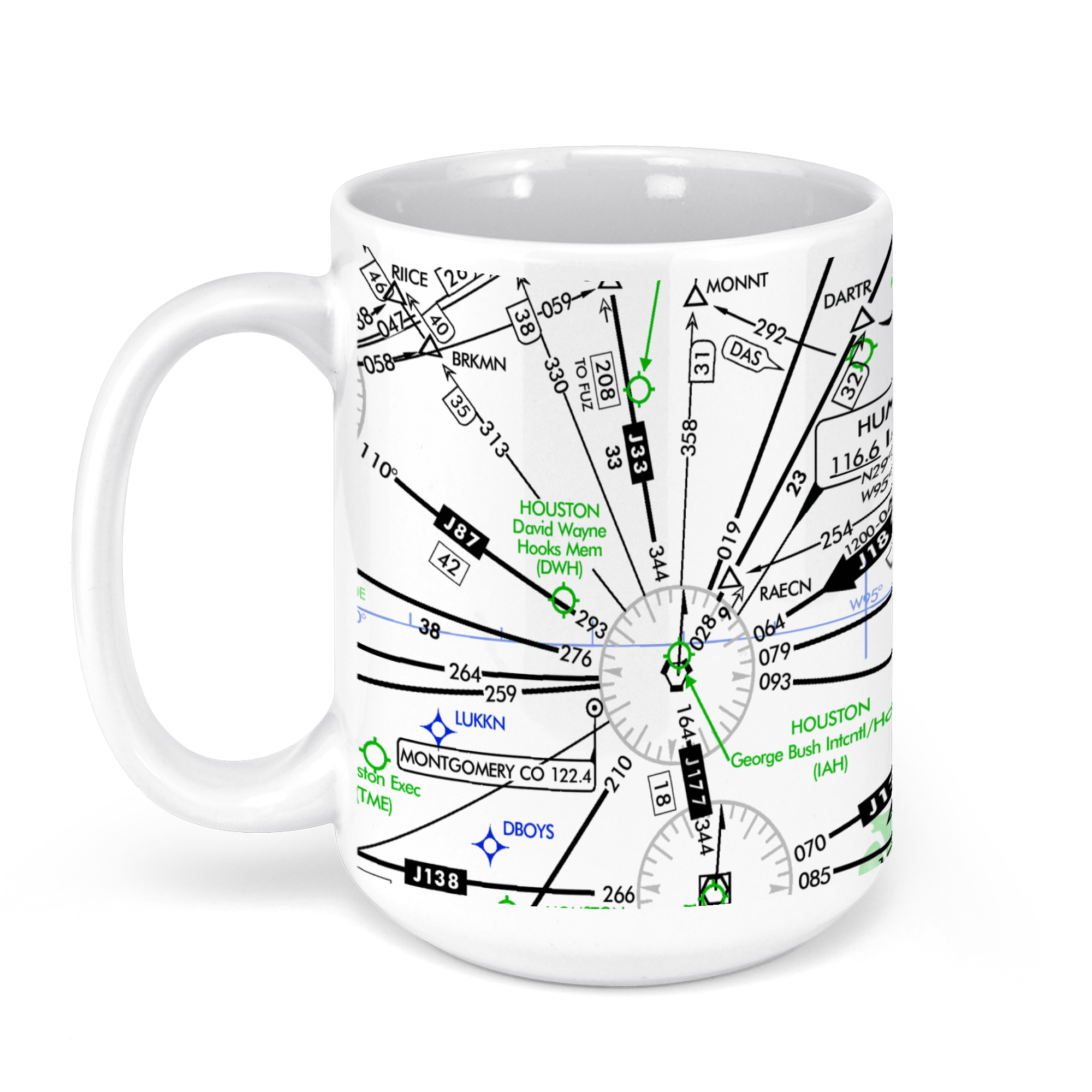 11oz From $14.21 15oz From $16.46
George Bush Intercontinental Airport (IAH), North Terminal Road, Houston, TX, USA FAA Aeronautical US IFR Enroute High Charts Chart Mug
From: $18.95MIX, MATCH & SAVE! UP TO 25% OFFDistance from your search: 1020.9mi -
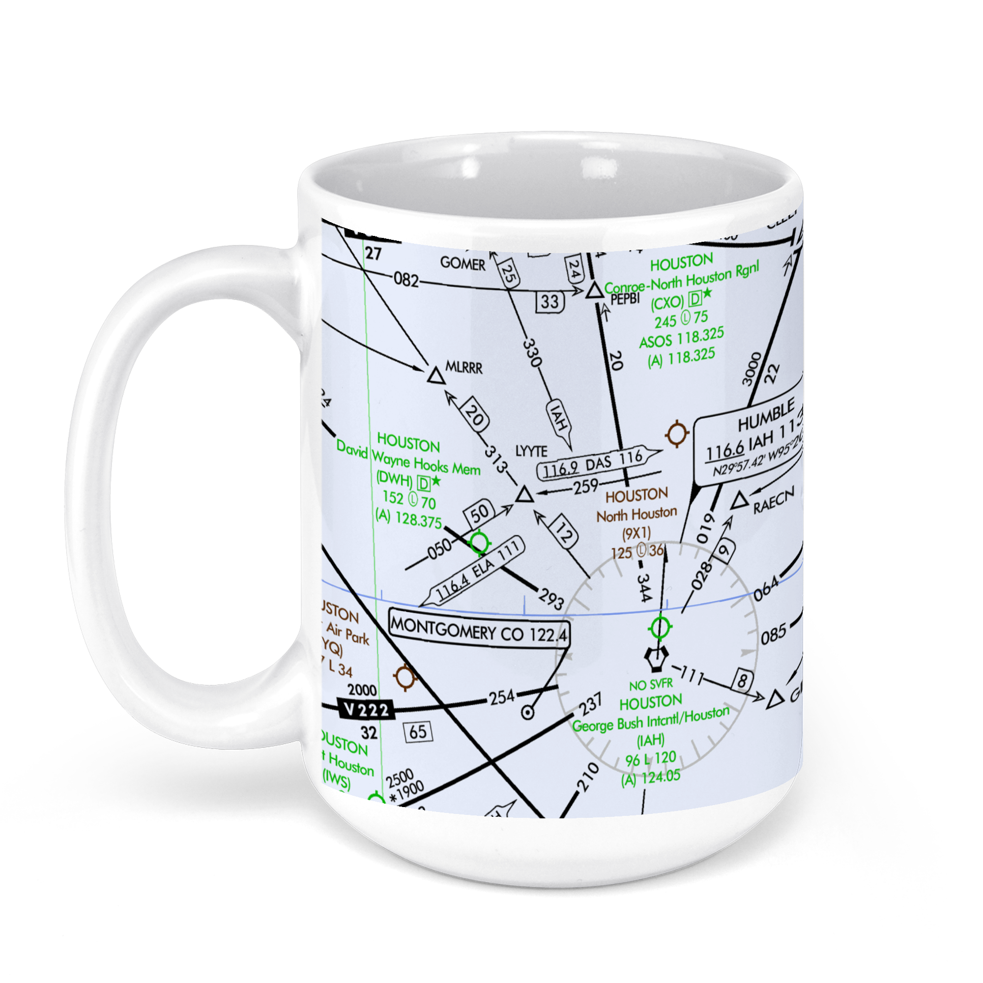 11oz From $14.21 15oz From $16.46
George Bush Intercontinental Airport (IAH), North Terminal Road, Houston, TX, USA FAA Aeronautical US IFR Enroute Low Charts Chart Mug
From: $18.95MIX, MATCH & SAVE! UP TO 25% OFFDistance from your search: 1020.9mi -
 11oz From $14.21 15oz From $16.46
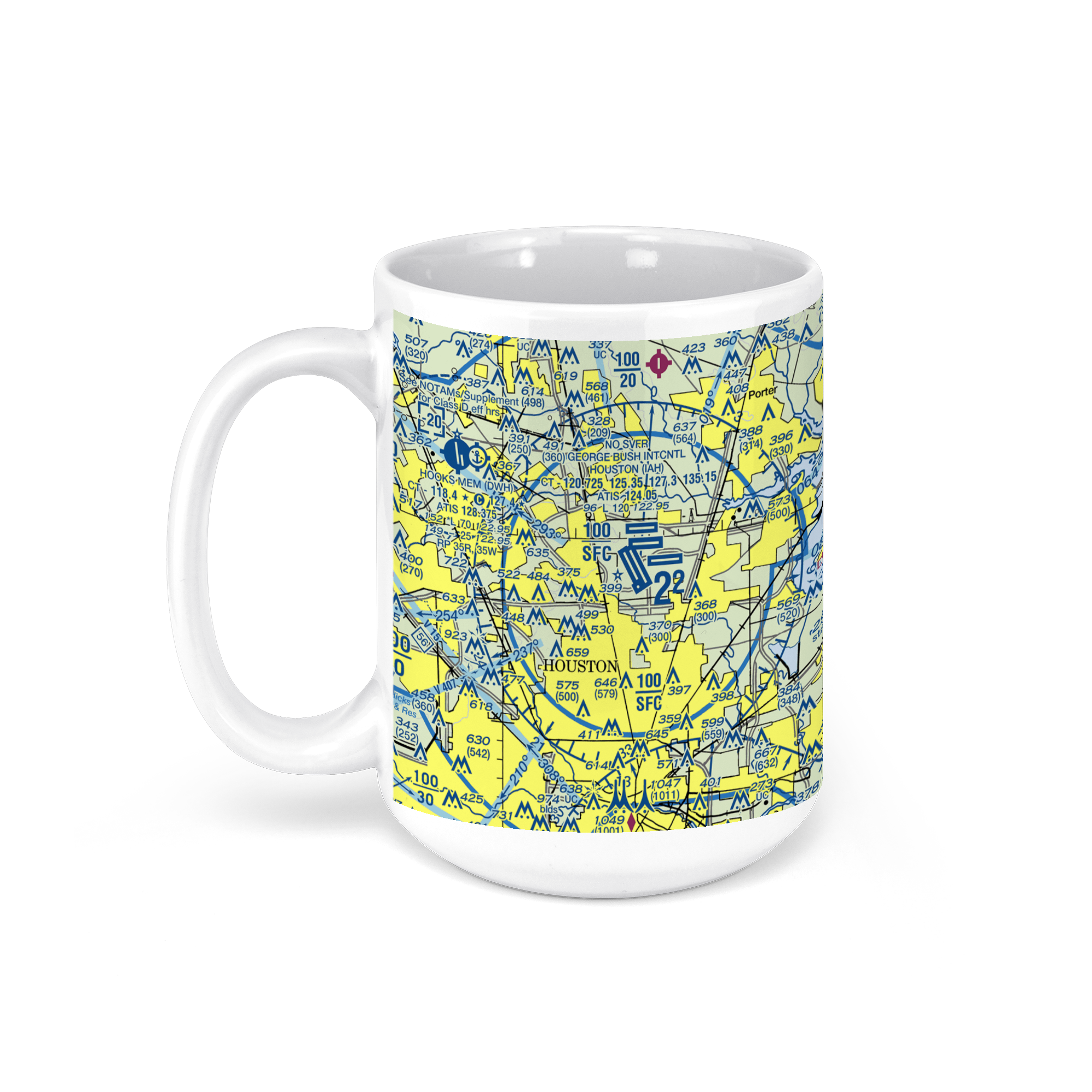
George Bush Intercontinental Airport (IAH), North Terminal Road, Houston, TX, USA FAA Sectional Aeronautical Charts Chart Mug
From: $18.95MIX, MATCH & SAVE! UP TO 25% OFFDistance from your search: 1020.9mi -
 11oz From $14.21 15oz From $16.46
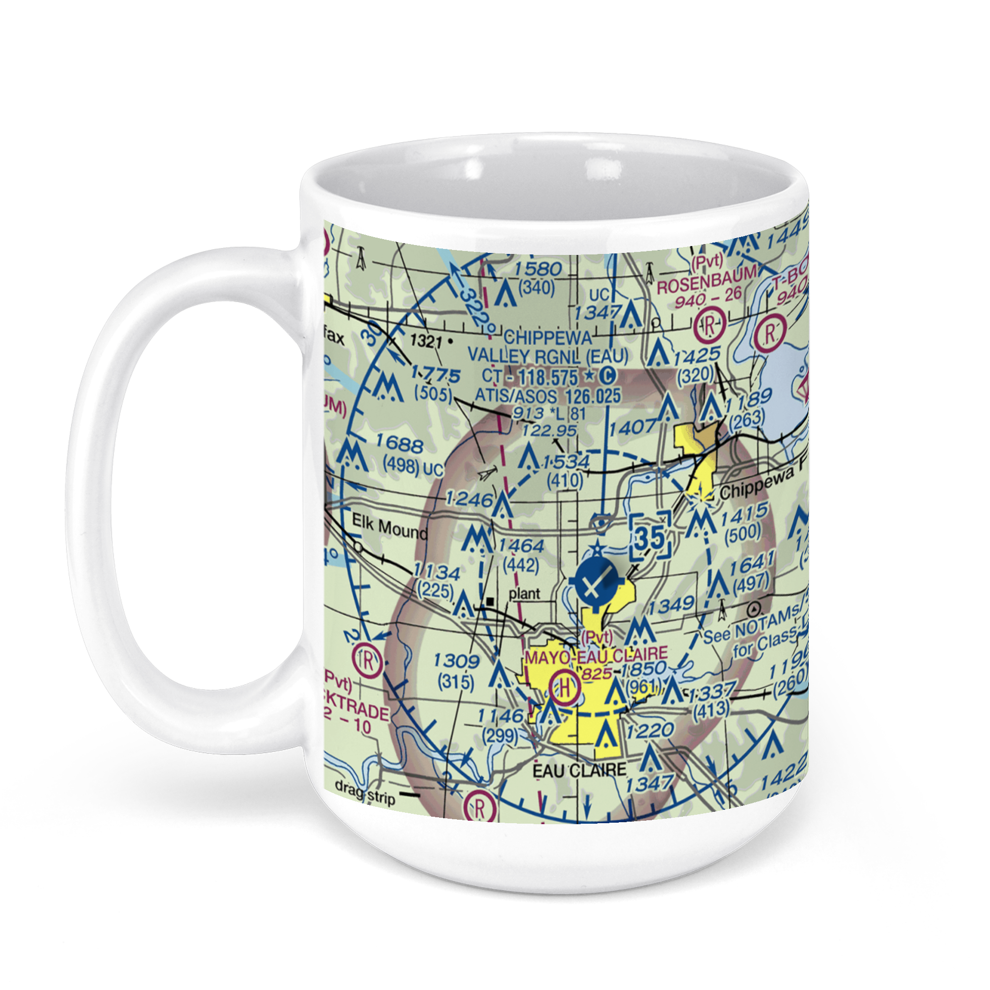
Chippewa Valley Regional Airport, Starr Avenue, Eau Claire, WI, USA FAA Sectional Aeronautical Charts Chart Mug
From: $18.95MIX, MATCH & SAVE! UP TO 25% OFFDistance from your search: 1024.6mi -
 11oz From $14.21 15oz From $16.46
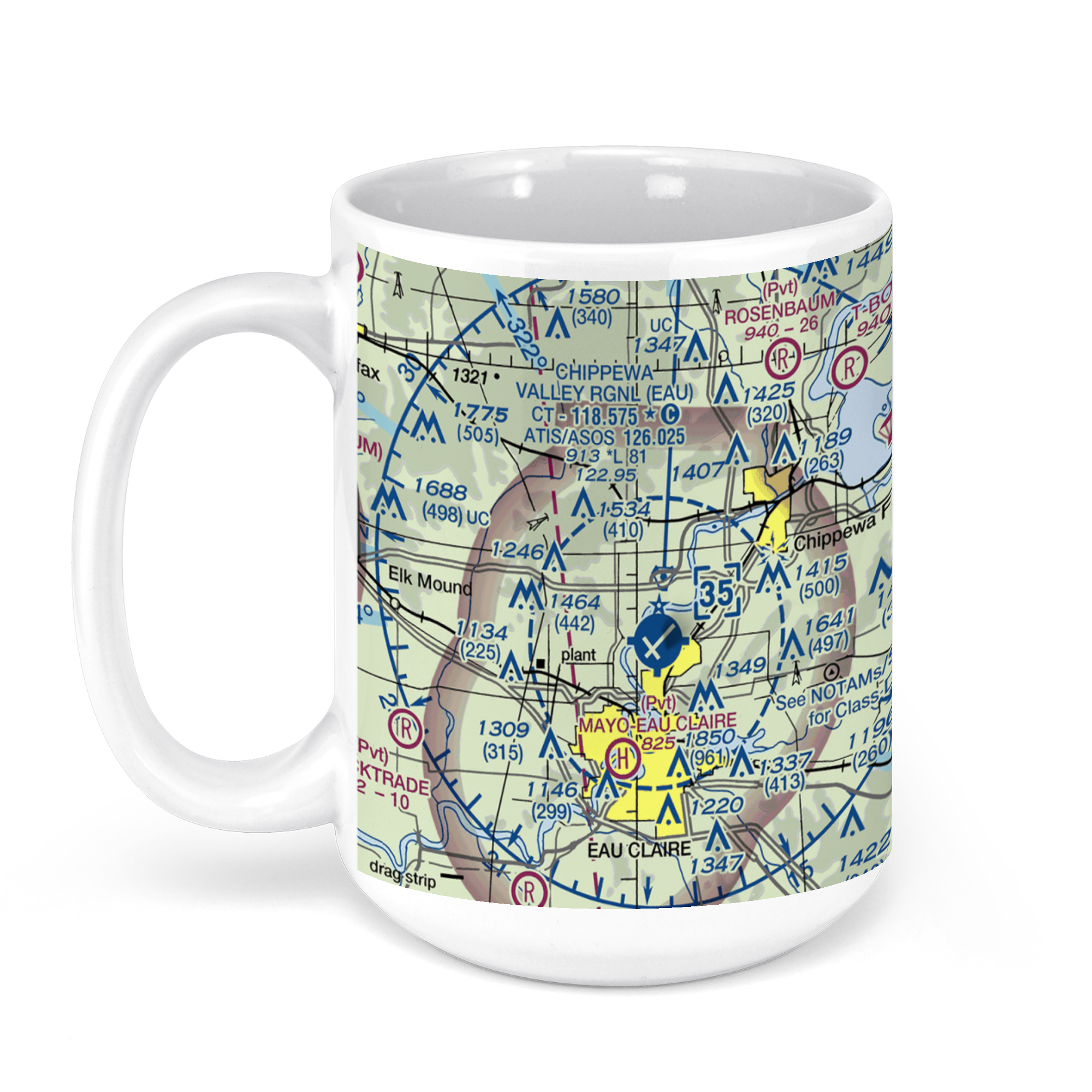
Chippewa Valley Regional Airport, Starr Avenue, Eau Claire, WI, USA FAA Sectional Aeronautical Charts Chart Mug
From: $18.95MIX, MATCH & SAVE! UP TO 25% OFFDistance from your search: 1024.6mi -
 11oz From $14.21 15oz From $16.46
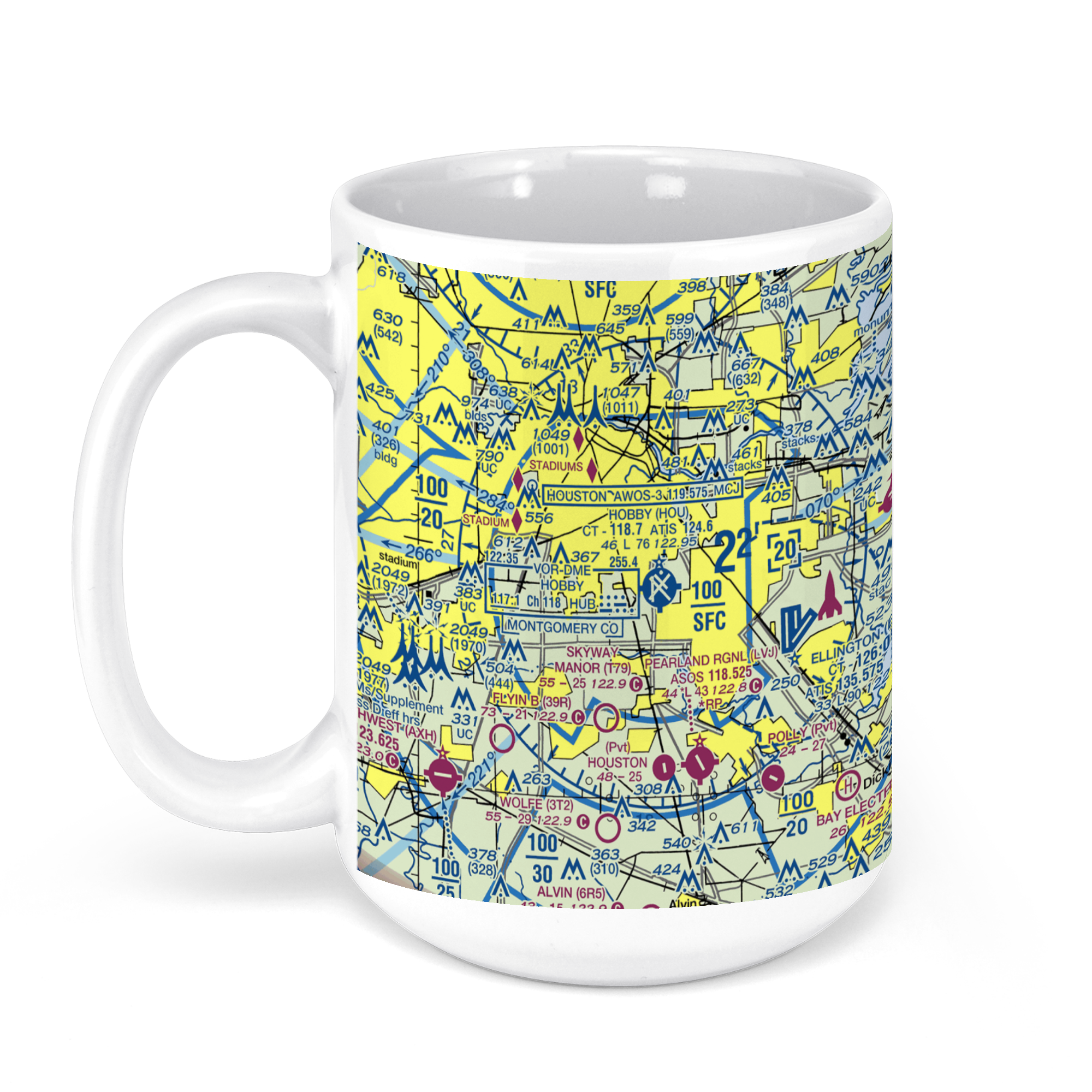
William P. Hobby Airport, Airport Blvd, Houston, TX, USA FAA Sectional Aeronautical Charts Chart Mug
From: $18.95MIX, MATCH & SAVE! UP TO 25% OFFDistance from your search: 1025.7mi -
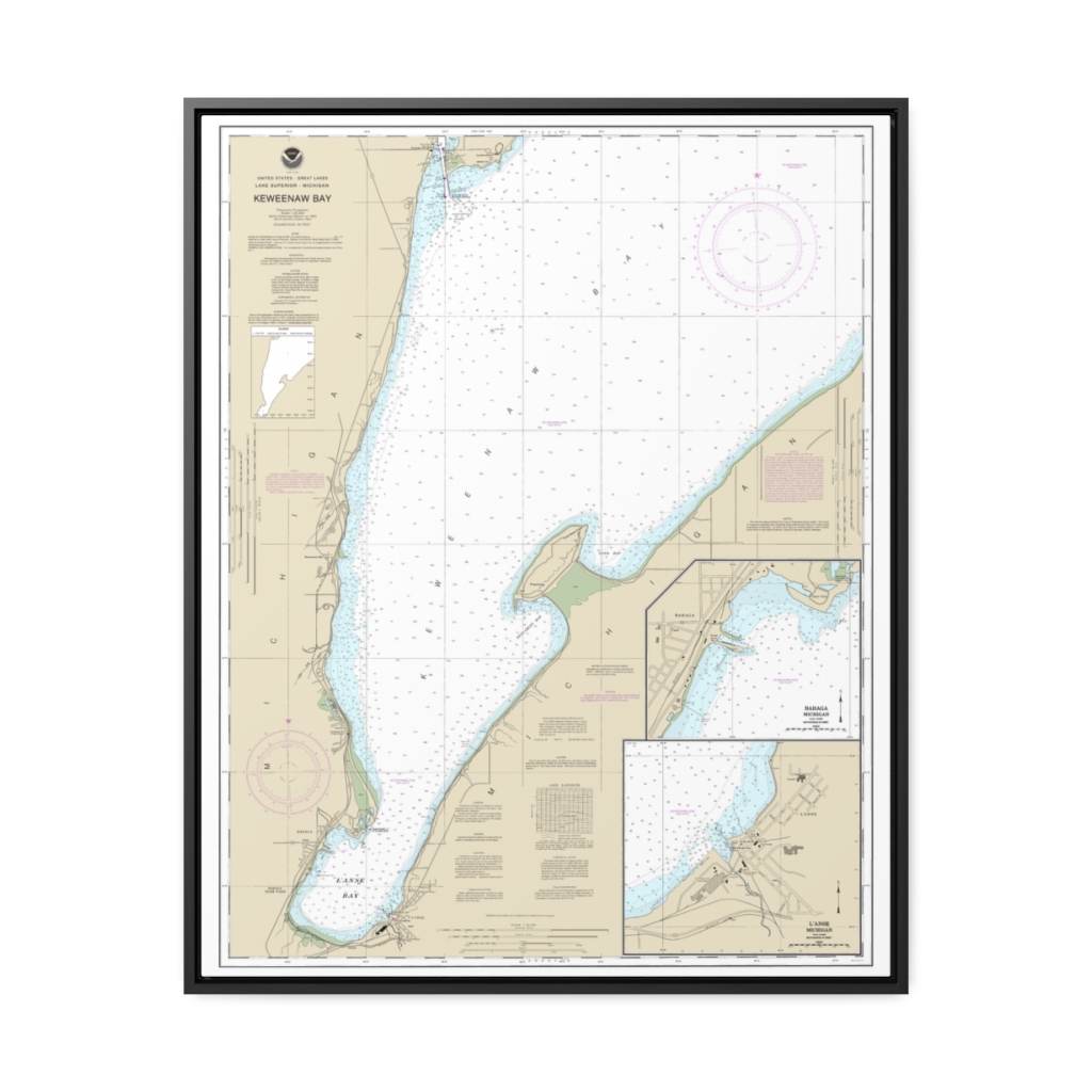
Keweenaw Bay;L Anse and Baraga Harbors Nautical Chart 14971 – Floating Frame Canvas
From: $184.95PREMIUM FLOATING FRAME CANVASDistance from your search: 1030.2mi -
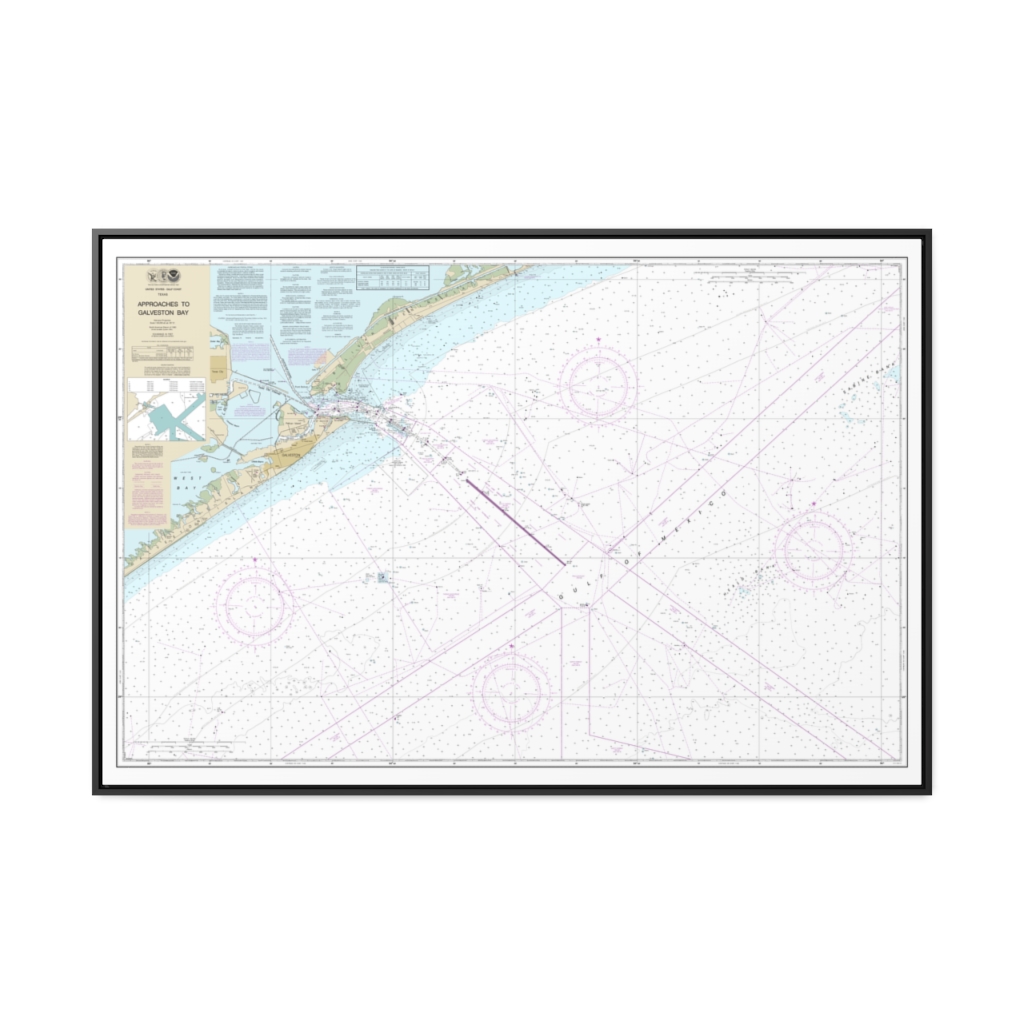
Approaches to Galveston Bay Nautical Chart 11323 – Floating Frame Canvas
From: $164.95PREMIUM FLOATING FRAME CANVASDistance from your search: 1031mi -
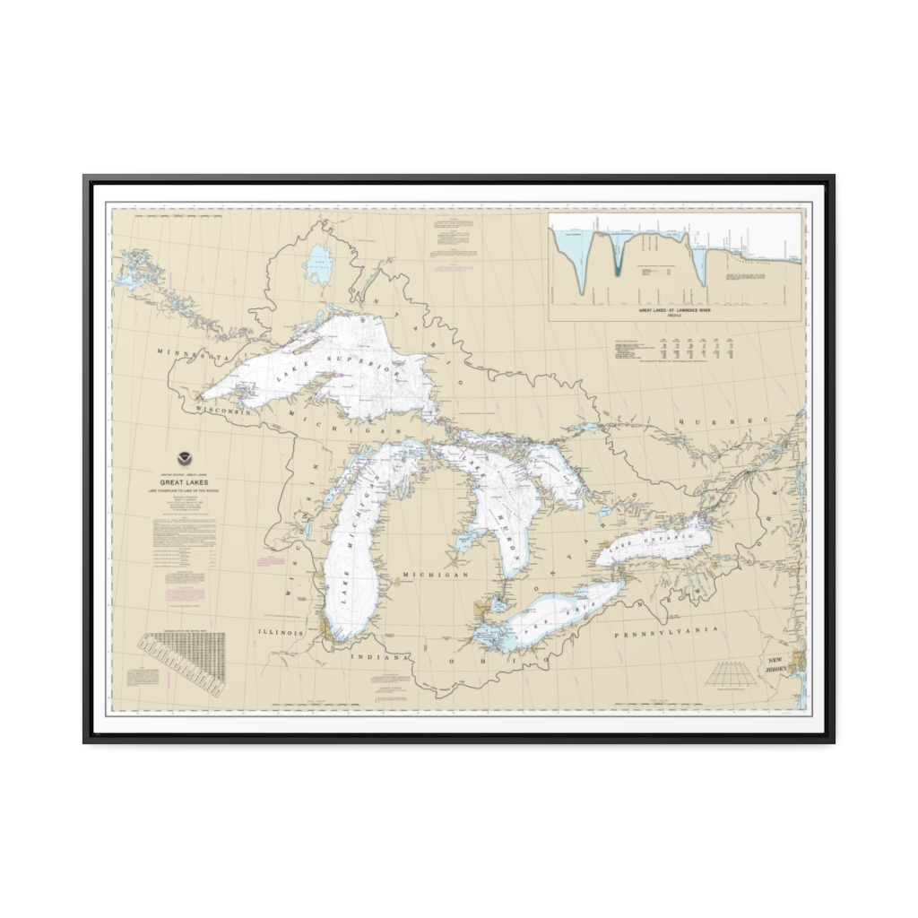
Great Lakes, Lake Champlain to Lake of the Woods Nautical Chart 14500 – Floating Frame Canvas
From: $184.95PREMIUM FLOATING FRAME CANVASDistance from your search: 1034.9mi -
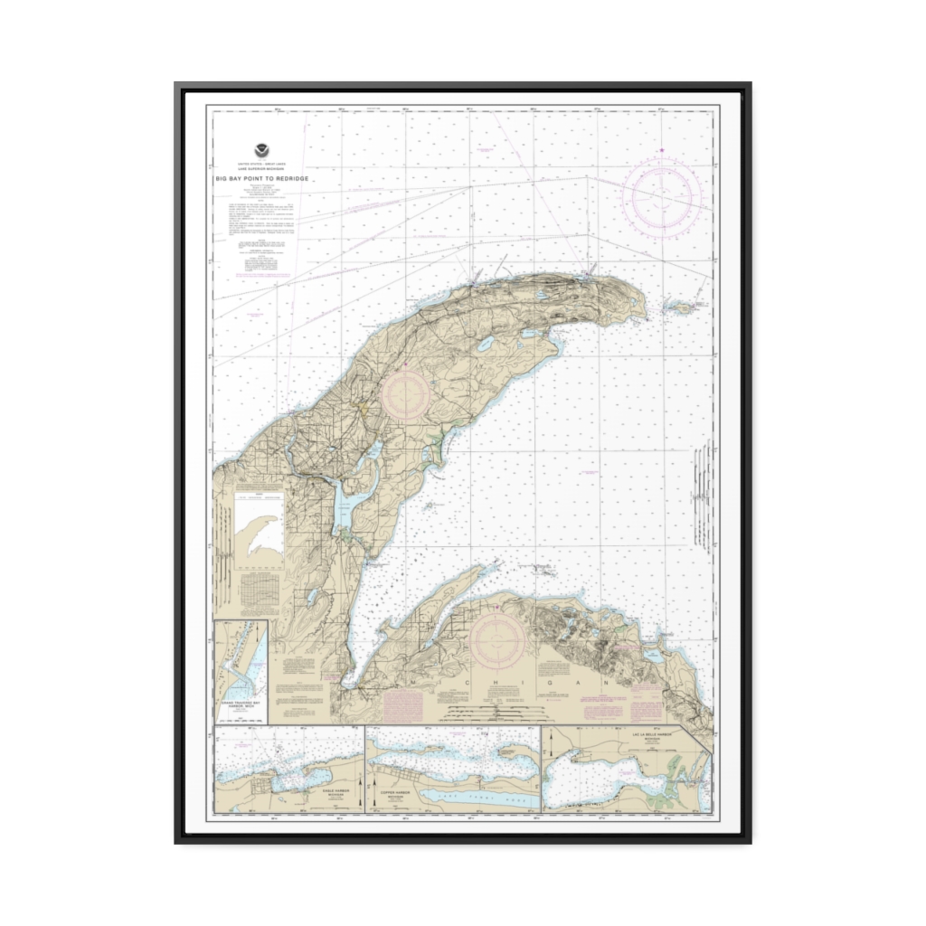
Big Bay Point to Redridge Grand Traverse Bay Harbor Lac La Belle harbor Copper and Eagle Harbors Nautical Chart 14964 – Floating Frame Canvas
From: $184.95PREMIUM FLOATING FRAME CANVASDistance from your search: 1049.6mi

