- Display 24 Products per page
-
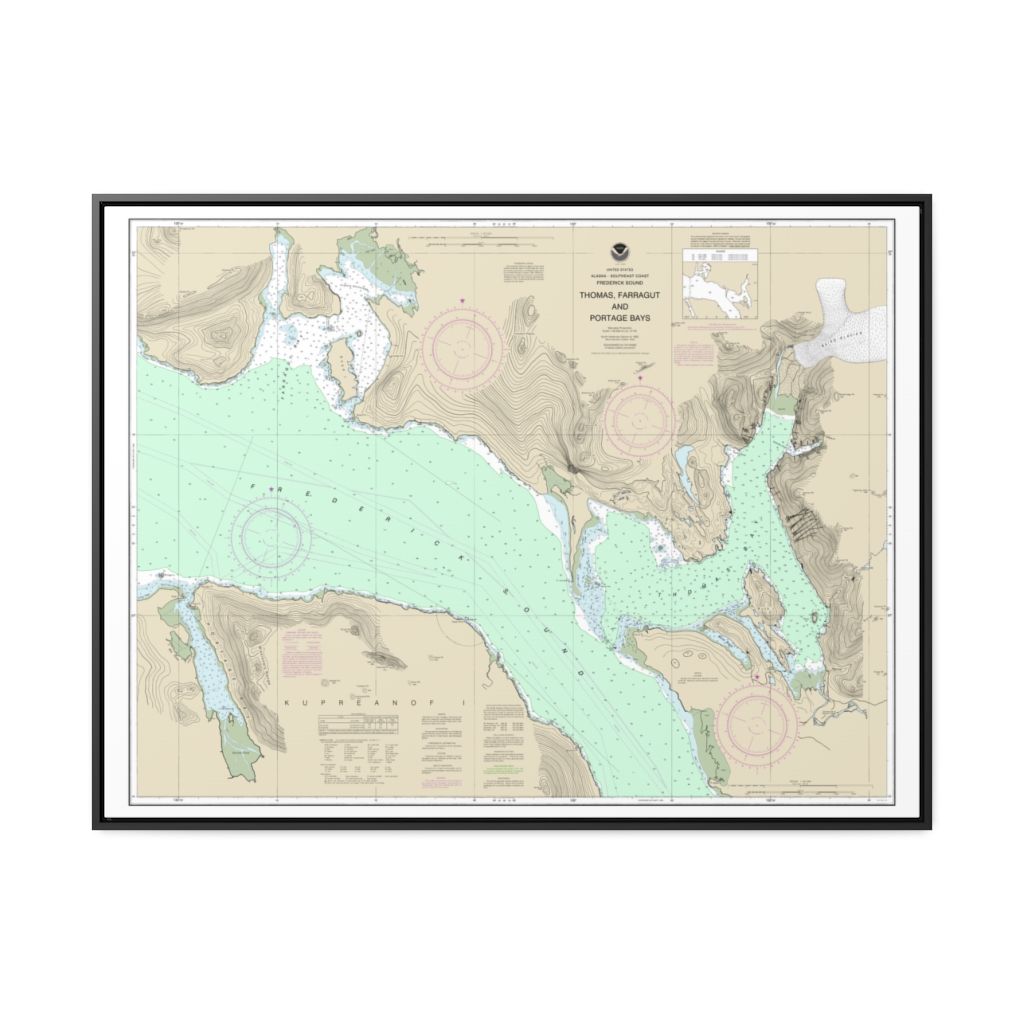
Thomas, Farragut, and Portage Bays, Frederick Sound Nautical Chart 17367 – Floating Frame Canvas
From: $184.95PREMIUM FLOATING FRAME CANVASDistance from your search: 4529.8mi -
 11oz From $14.21 15oz From $16.46
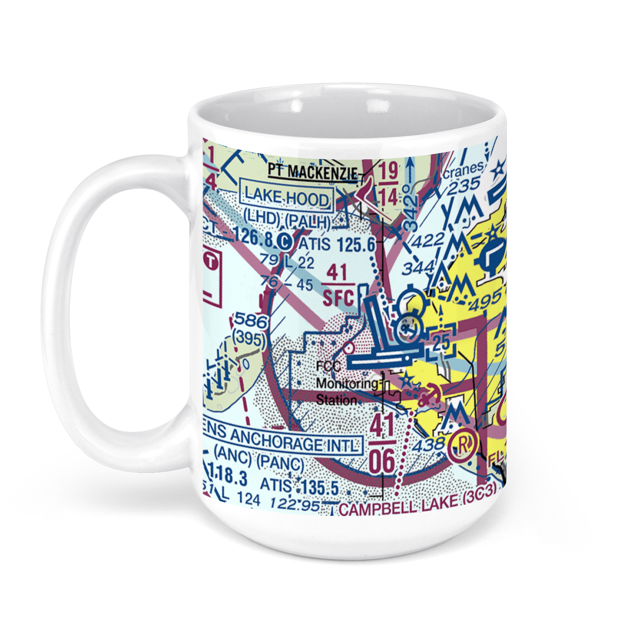
Lake Hood Seaplane Base, Anchorage, AK, USA FAA Sectional Aeronautical Charts Chart Mug
From: $18.95MIX, MATCH & SAVE! UP TO 25% OFFDistance from your search: 4531.2mi -
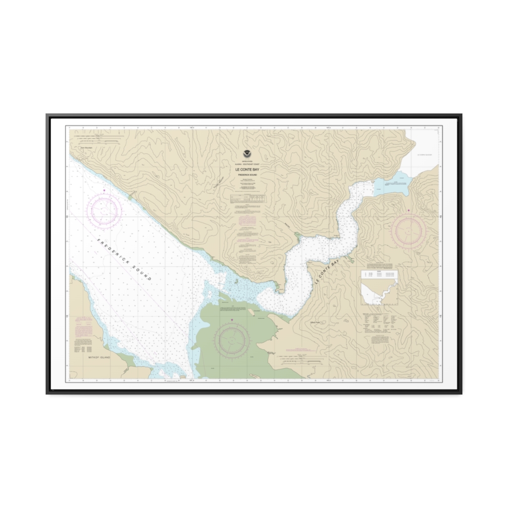
Le Conte Bay Nautical Chart 17377 – Floating Frame Canvas
From: $164.95PREMIUM FLOATING FRAME CANVASDistance from your search: 4531.4mi -
 11oz From $14.21 15oz From $16.46
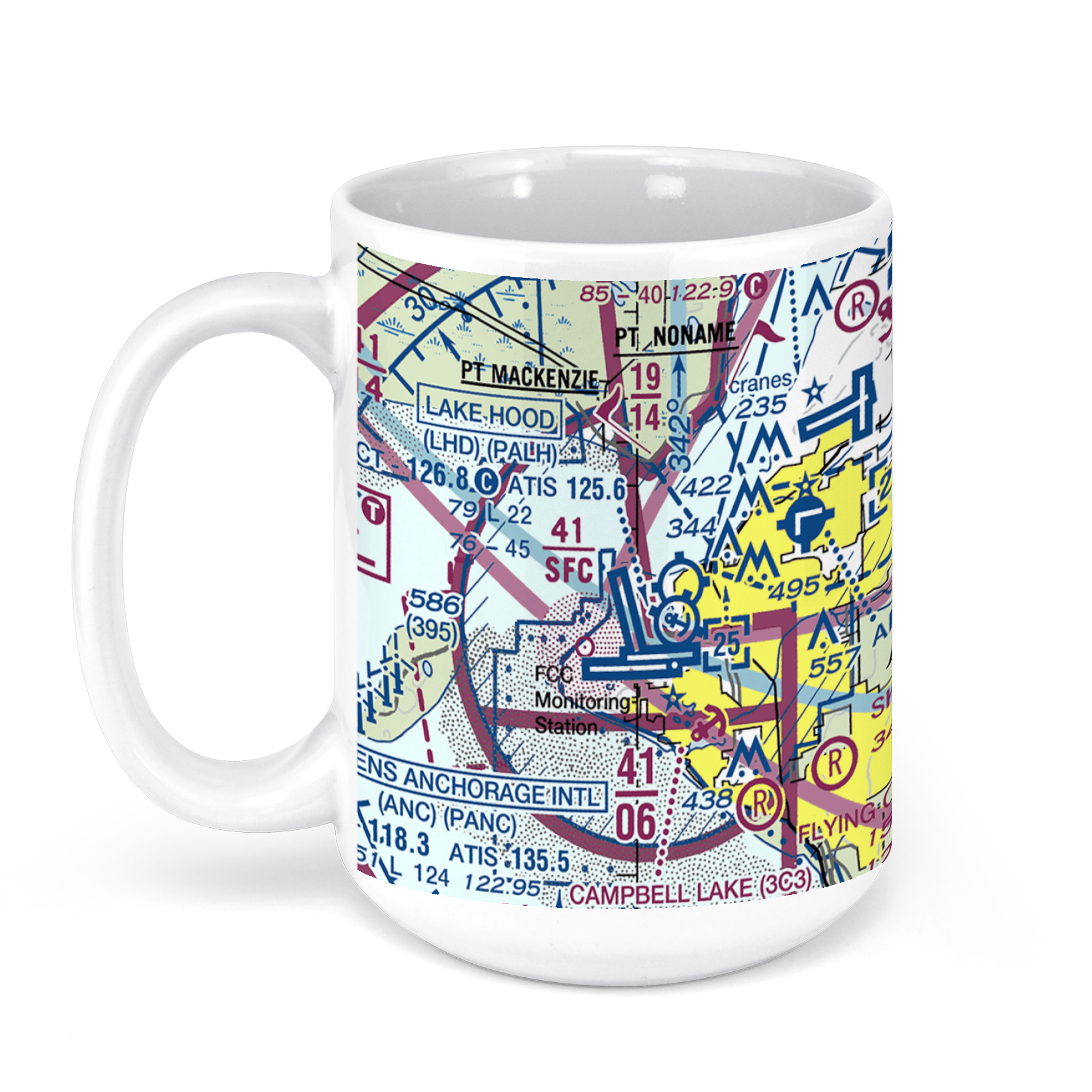
Ted Stevens Anchorage International Airport (ANC), West International Airport Road, Anchorage, AK, USA FAA Sectional Aeronautical Charts Chart Mug
From: $18.95MIX, MATCH & SAVE! UP TO 25% OFFDistance from your search: 4531.7mi -
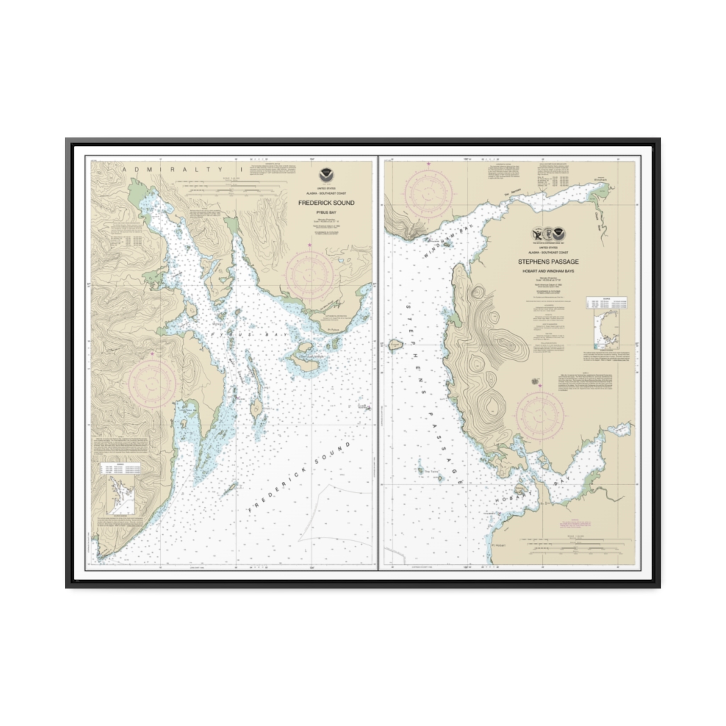
Pybus Bay, Frederick Sound Hobart and Windham Bays, Stephens P. Nautical Chart 17363 – Floating Frame Canvas
From: $184.95PREMIUM FLOATING FRAME CANVASDistance from your search: 4532.1mi -
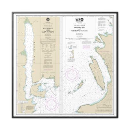
Woewodski and Eliza Hbrs. Fanshaw Bay and Cleveland Passage Nautical Chart 17365 – Floating Frame Canvas
From: $139.95PREMIUM FLOATING FRAME CANVASDistance from your search: 4535.1mi -
 11oz From $14.21 15oz From $16.46
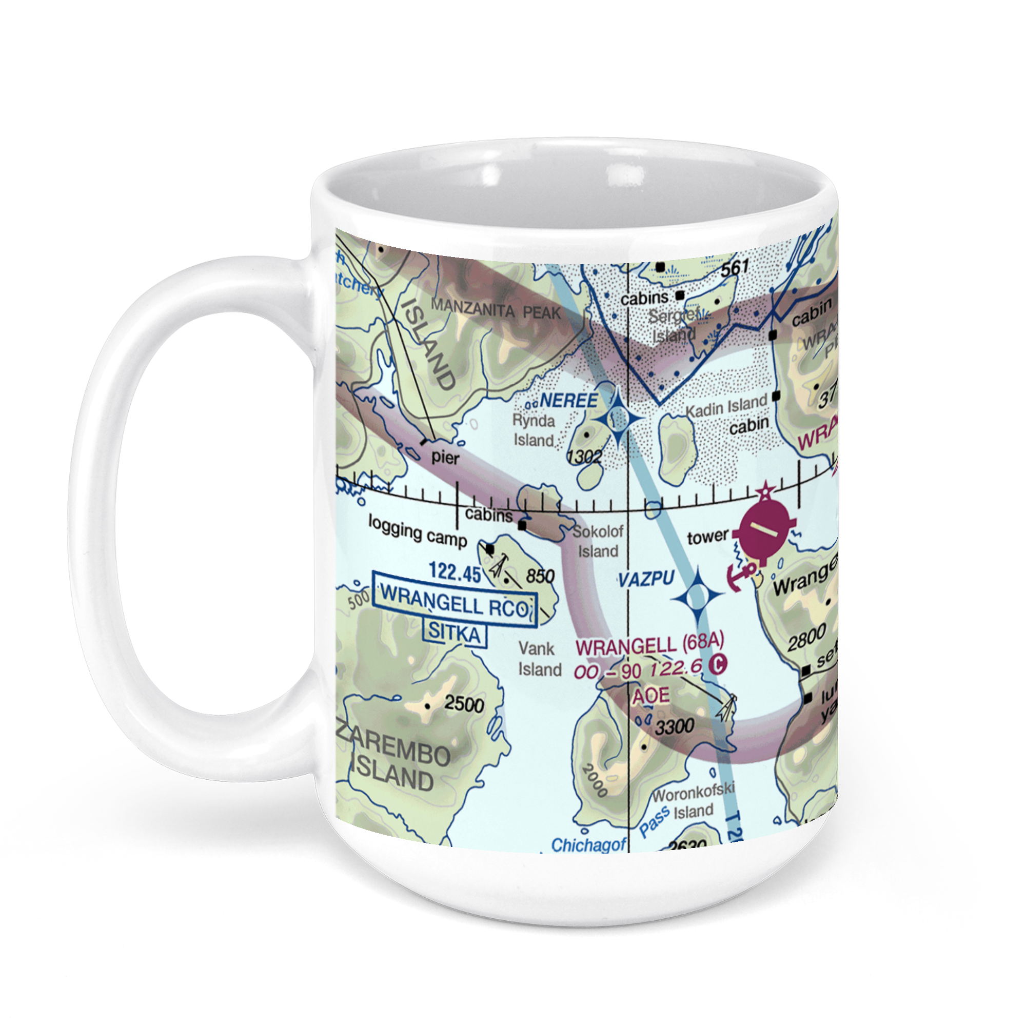
Wrangell Airport (WRG) (PAWG), Airport Road, Wrangell, AK, USA FAA Sectional Aeronautical Charts Chart Mug
From: $18.95MIX, MATCH & SAVE! UP TO 25% OFFDistance from your search: 4535.4mi -
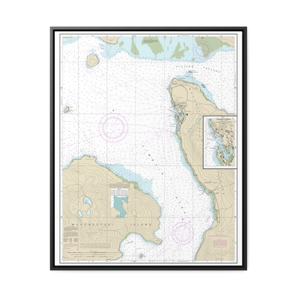
Wrangell Harbor and approaches Wrangell Harbor Nautical Chart 17384 – Floating Frame Canvas
From: $184.95PREMIUM FLOATING FRAME CANVASDistance from your search: 4537.1mi -
 11oz From $14.21 15oz From $16.46
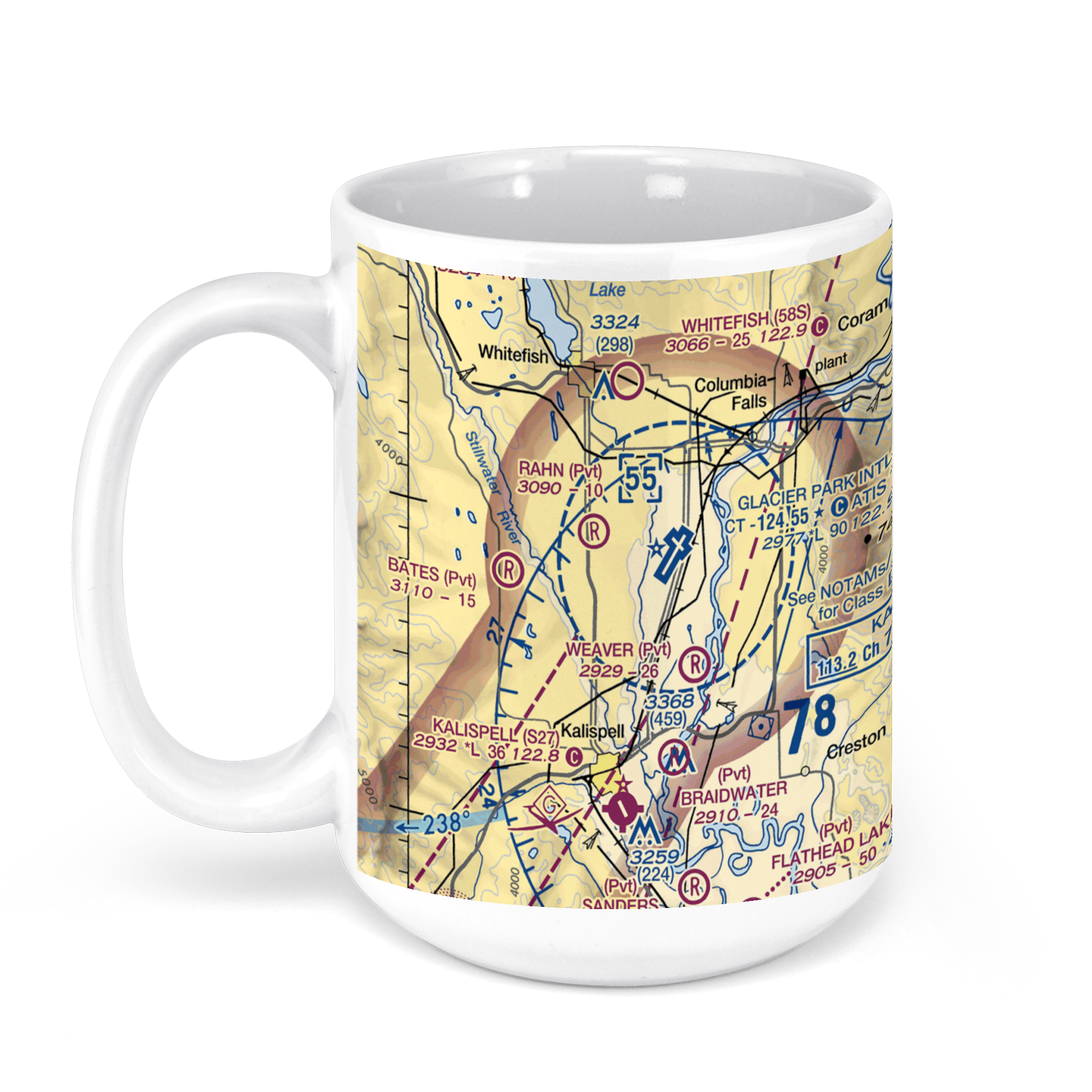
Glacier Park International Airport, U.S. 2, Kalispell, MT, USA FAA Sectional Aeronautical Charts Chart Mug
From: $18.95MIX, MATCH & SAVE! UP TO 25% OFFDistance from your search: 4537.7mi -
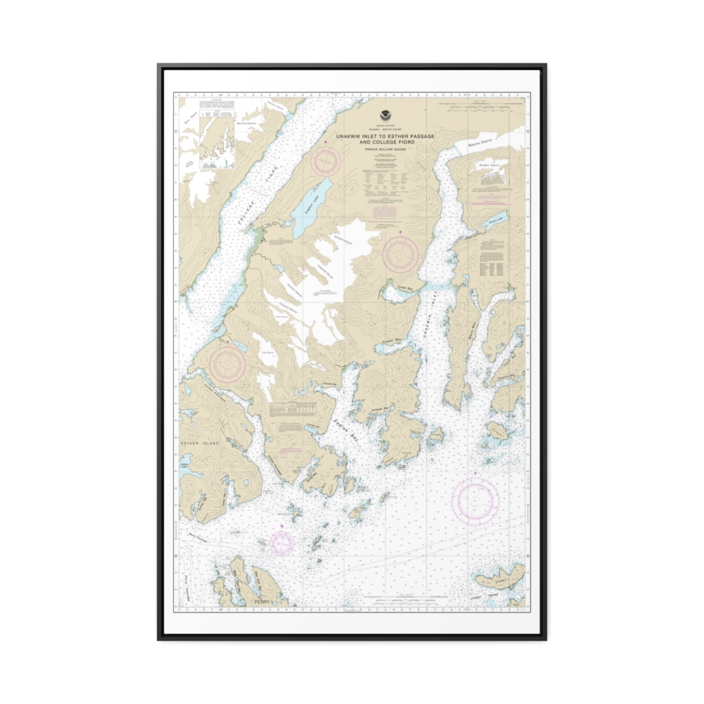
Unakwik Inlet to Esther Passage and College Fiord Nautical Chart 16712 – Floating Frame Canvas
From: $164.95PREMIUM FLOATING FRAME CANVASDistance from your search: 4538.1mi -
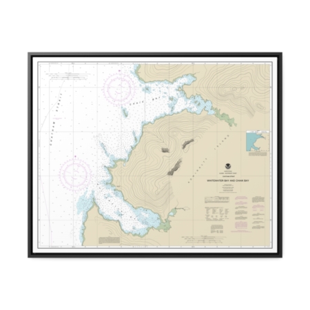
Whitewater Bay and Chaik Bay, Chatham Strait Nautical Chart 17341 – Floating Frame Canvas
From: $184.95PREMIUM FLOATING FRAME CANVASDistance from your search: 4538.3mi -
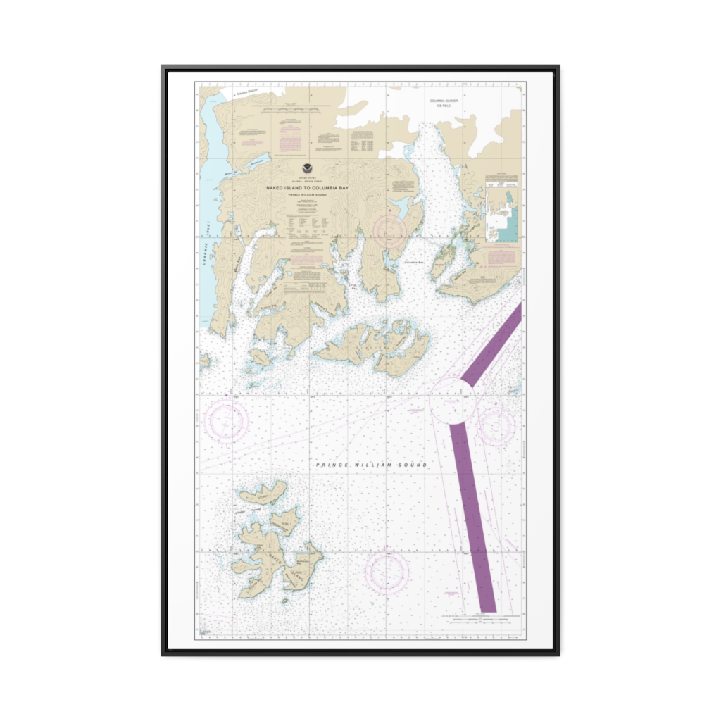
Naked Island to Columbia Bay Nautical Chart 16713 – Floating Frame Canvas
From: $164.95PREMIUM FLOATING FRAME CANVASDistance from your search: 4539.1mi -
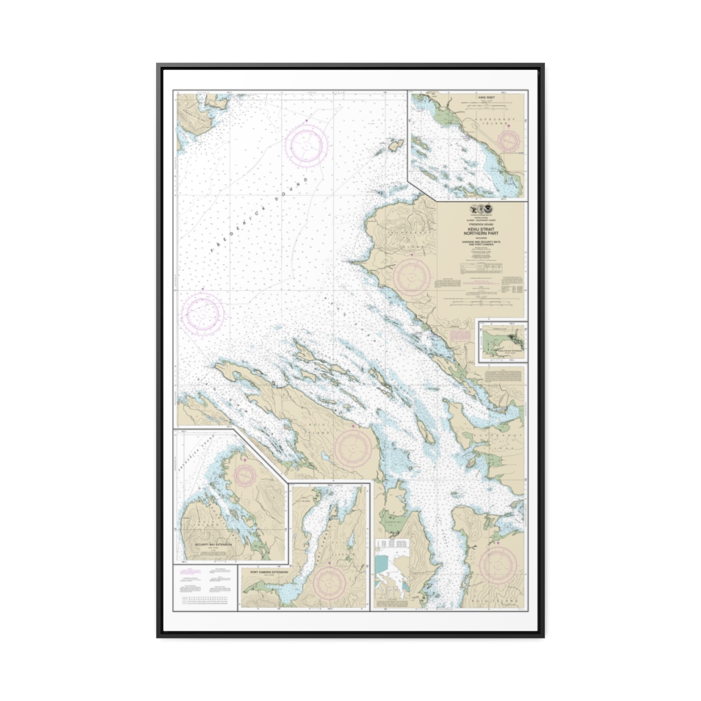
Keku Strait-northern part, including Saginaw and Security Bays and Port Camden;Kake Inset Nautical Chart 17368 – Floating Frame Canvas
From: $164.95PREMIUM FLOATING FRAME CANVASDistance from your search: 4539.8mi -
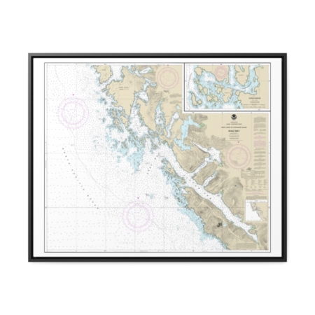
Khaz Bay, Chichagof Island Elbow Passage Nautical Chart 17322 – Floating Frame Canvas
From: $184.95PREMIUM FLOATING FRAME CANVASDistance from your search: 4541.5mi -
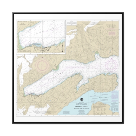
Passage Canal incl. Port of Whittier Port of Whittier Nautical Chart 16706 – Floating Frame Canvas
From: $139.95PREMIUM FLOATING FRAME CANVASDistance from your search: 4541.6mi -
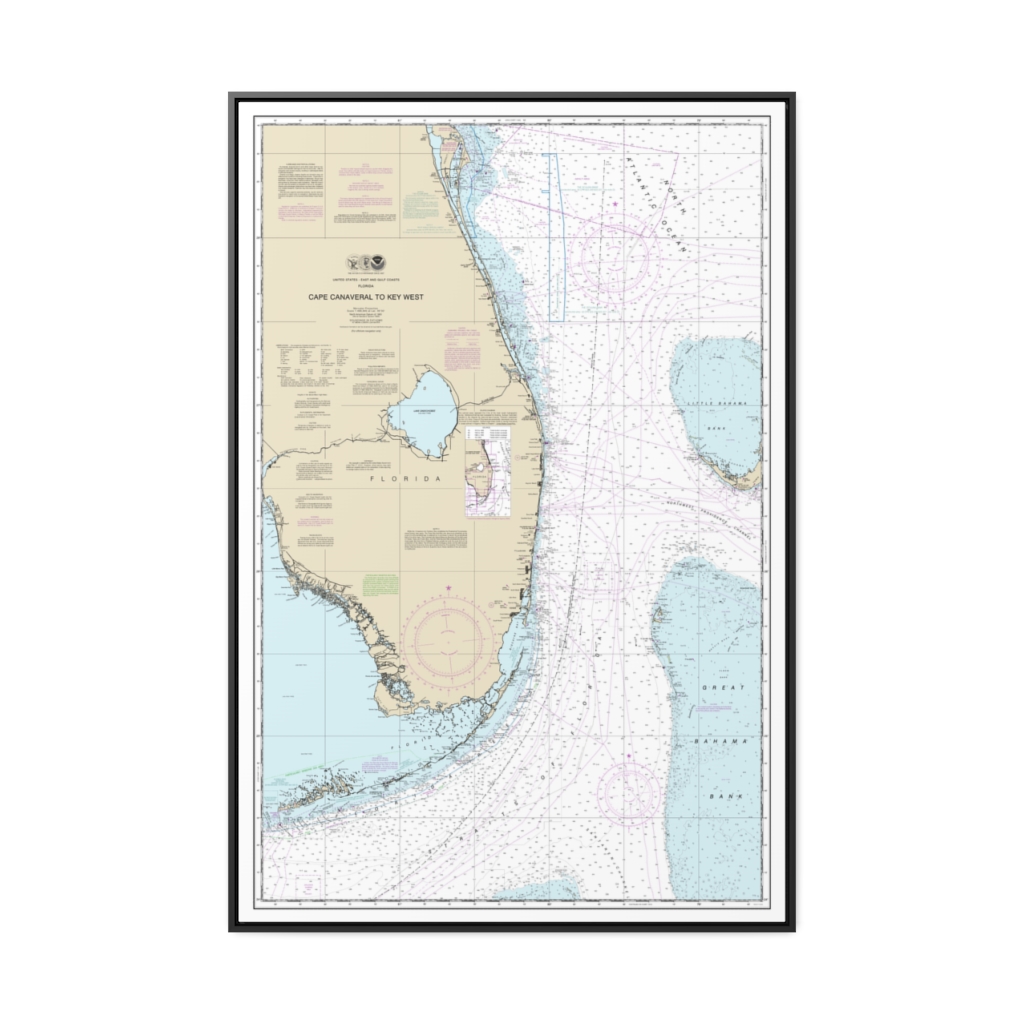
Cape Canaveral to Key West Nautical Chart 11460 – Floating Frame Canvas
From: $164.95PREMIUM FLOATING FRAME CANVASDistance from your search: 4542mi -
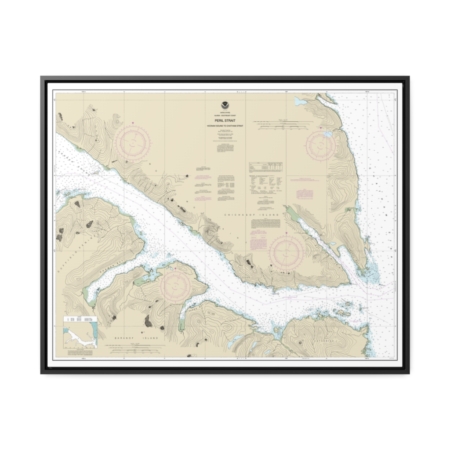
Peril Str.-Hoonah Snd. to Chatham Str. Nautical Chart 17338 – Floating Frame Canvas
From: $184.95PREMIUM FLOATING FRAME CANVASDistance from your search: 4542.6mi -
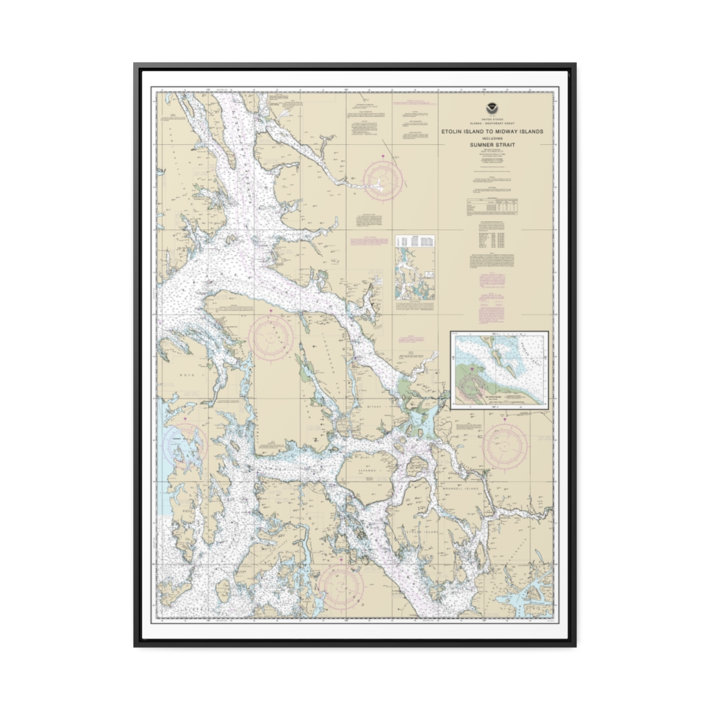
Etolin Island to Midway Islands, including Sumner Strait Holkham Bay Big Castle Island Nautical Chart 17360 – Floating Frame Canvas
From: $184.95PREMIUM FLOATING FRAME CANVASDistance from your search: 4543mi -
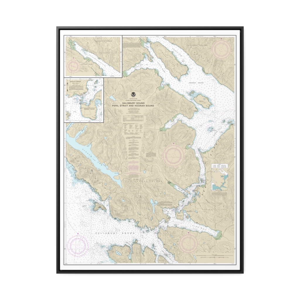
Salisbury Sound, Peril Strait and Hoonah Sound Nautical Chart 17323 – Floating Frame Canvas
From: $184.95PREMIUM FLOATING FRAME CANVASDistance from your search: 4545.9mi -
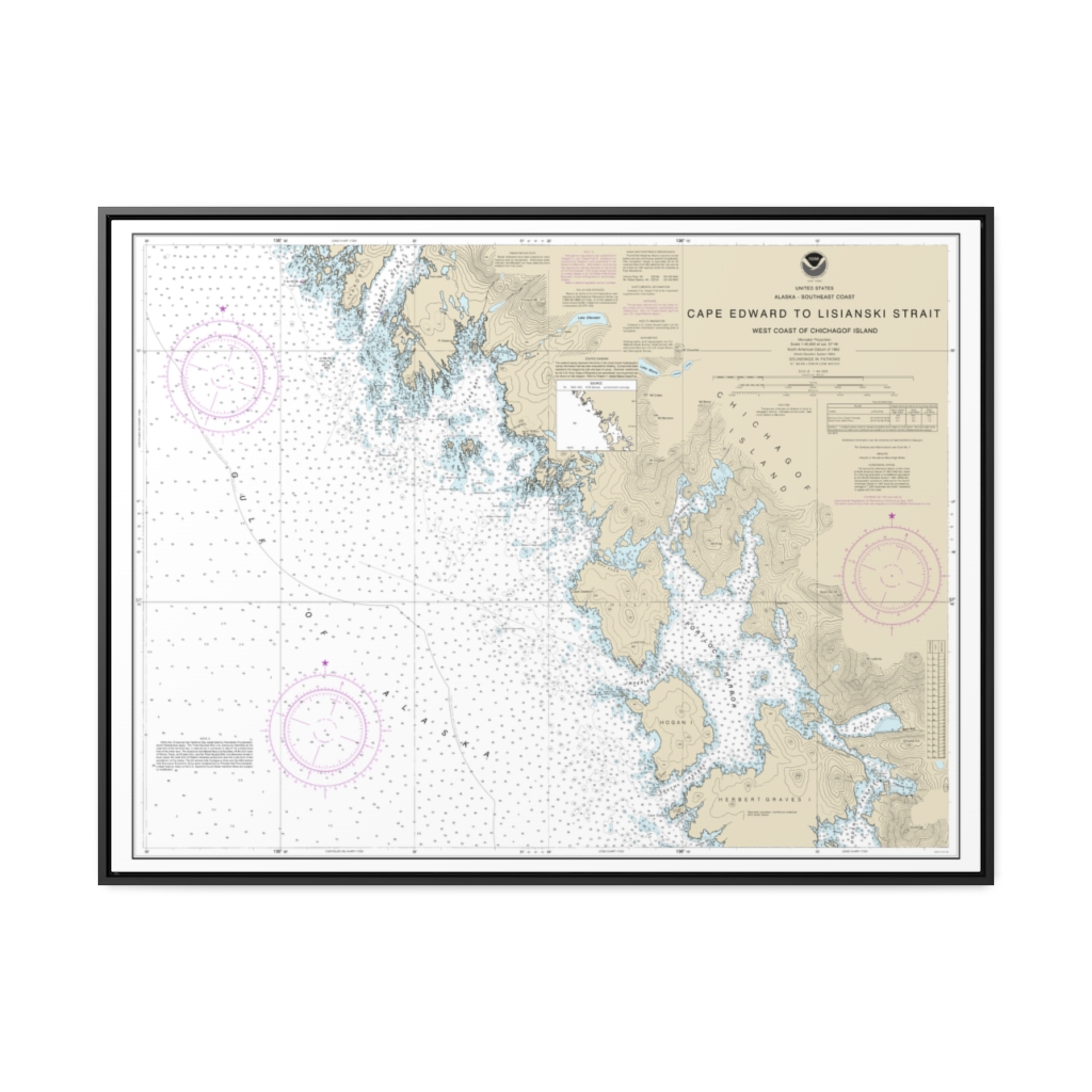
Cape Edward to Lisianski Strait, Chichagof Island Nautical Chart 17321 – Floating Frame Canvas
From: $184.95PREMIUM FLOATING FRAME CANVASDistance from your search: 4546.1mi -
 11oz From $14.21 15oz From $16.46
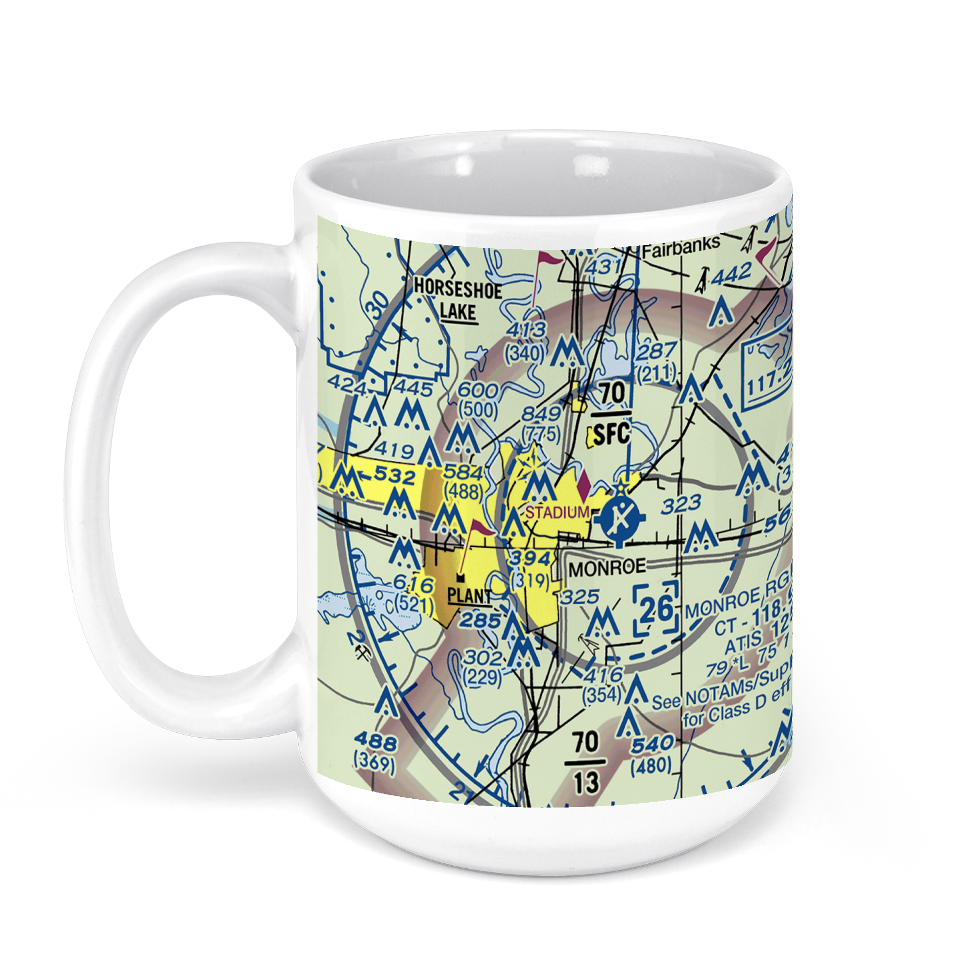
Monroe Regional Airport, Operations Road, Monroe, LA, USA FAA Sectional Aeronautical Charts Chart Mug
From: $18.95MIX, MATCH & SAVE! UP TO 25% OFFDistance from your search: 4547.4mi -
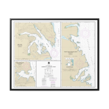
Harbors in Chatham Strait Kelp Bay Warm Spring Bay Takatz and Kasnyku Bays Nautical Chart 17337 – Floating Frame Canvas
From: $184.95PREMIUM FLOATING FRAME CANVASDistance from your search: 4549.8mi -
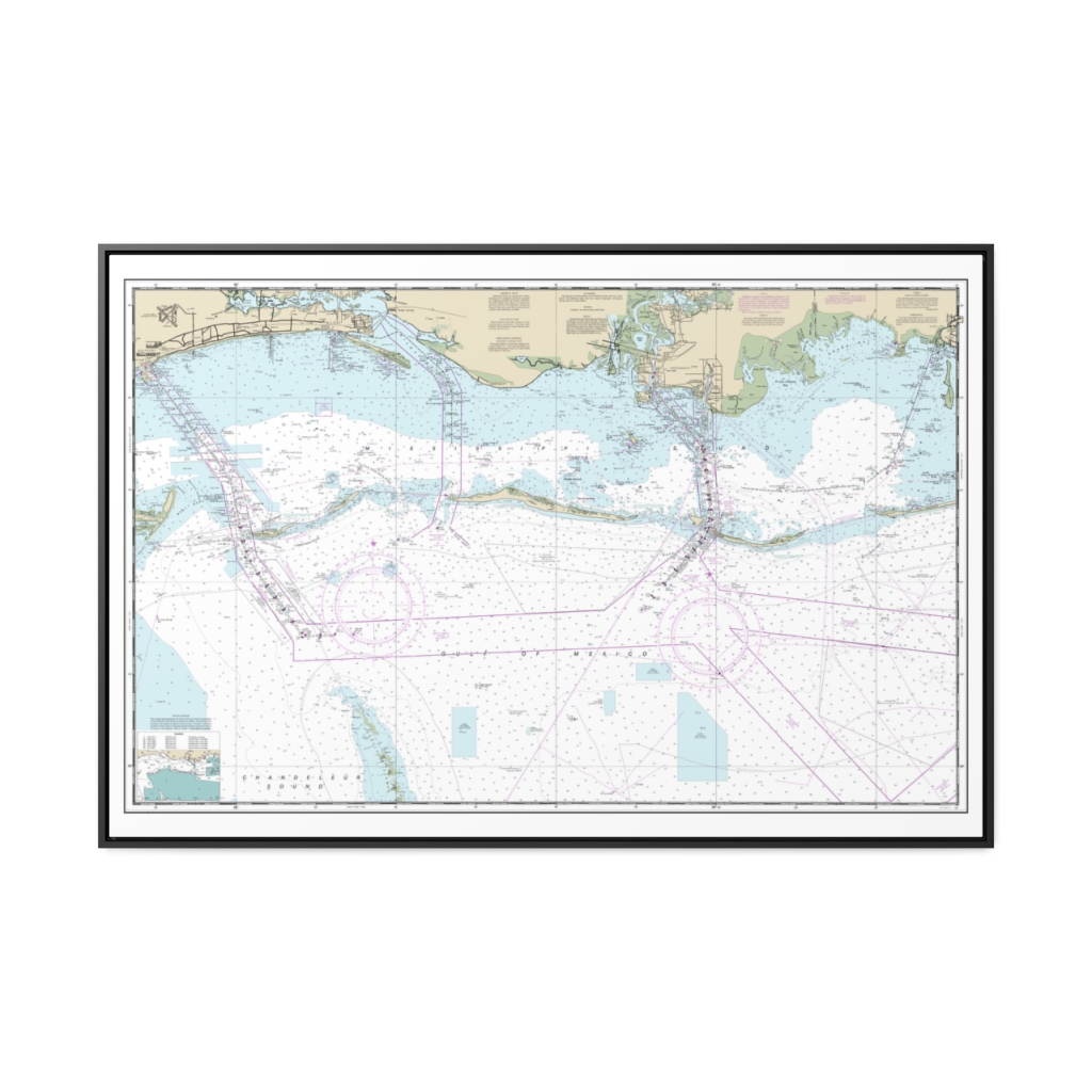
Mississippi Sound and approaches Dauphin Island to Cat Island Nautical Chart 11373 – Floating Frame Canvas
From: $164.95PREMIUM FLOATING FRAME CANVASDistance from your search: 4552mi -
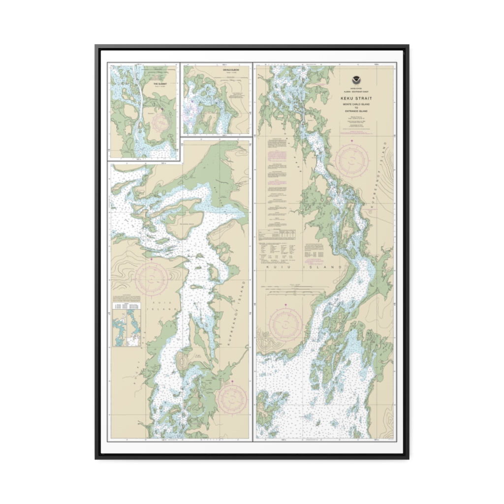
Keku Strait-Monte Carlo Island to Entrance Island The Summit Devils Elbow Nautical Chart 17372 – Floating Frame Canvas
From: $184.95PREMIUM FLOATING FRAME CANVASDistance from your search: 4552.1mi


