- Display 24 Products per page
-
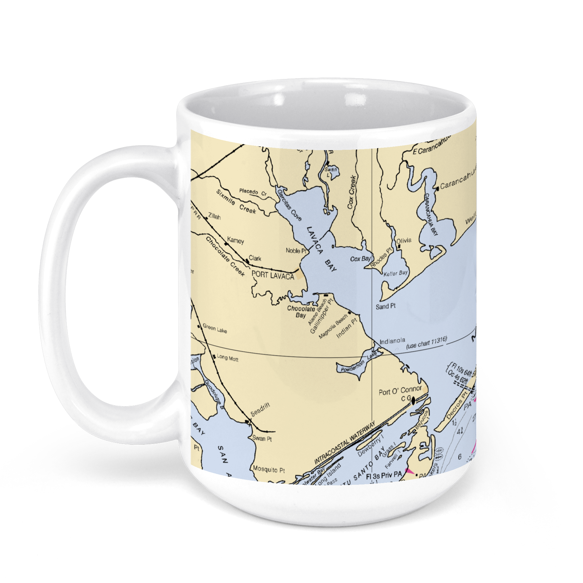 11oz From $14.21 15oz From $16.46
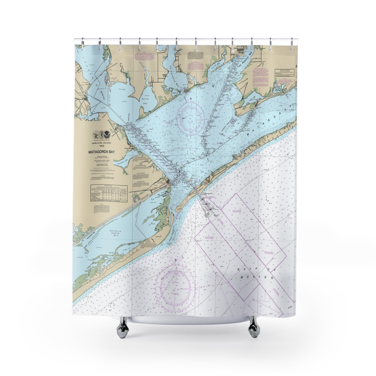
Matagorda Bay, Texas, USA NOAA Nautical Charts Chart Mug
From: $18.95MIX, MATCH & SAVE! UP TO 25% OFFDistance from your search: 3772.2mi -
Distance from your search: 3775.6mi
-
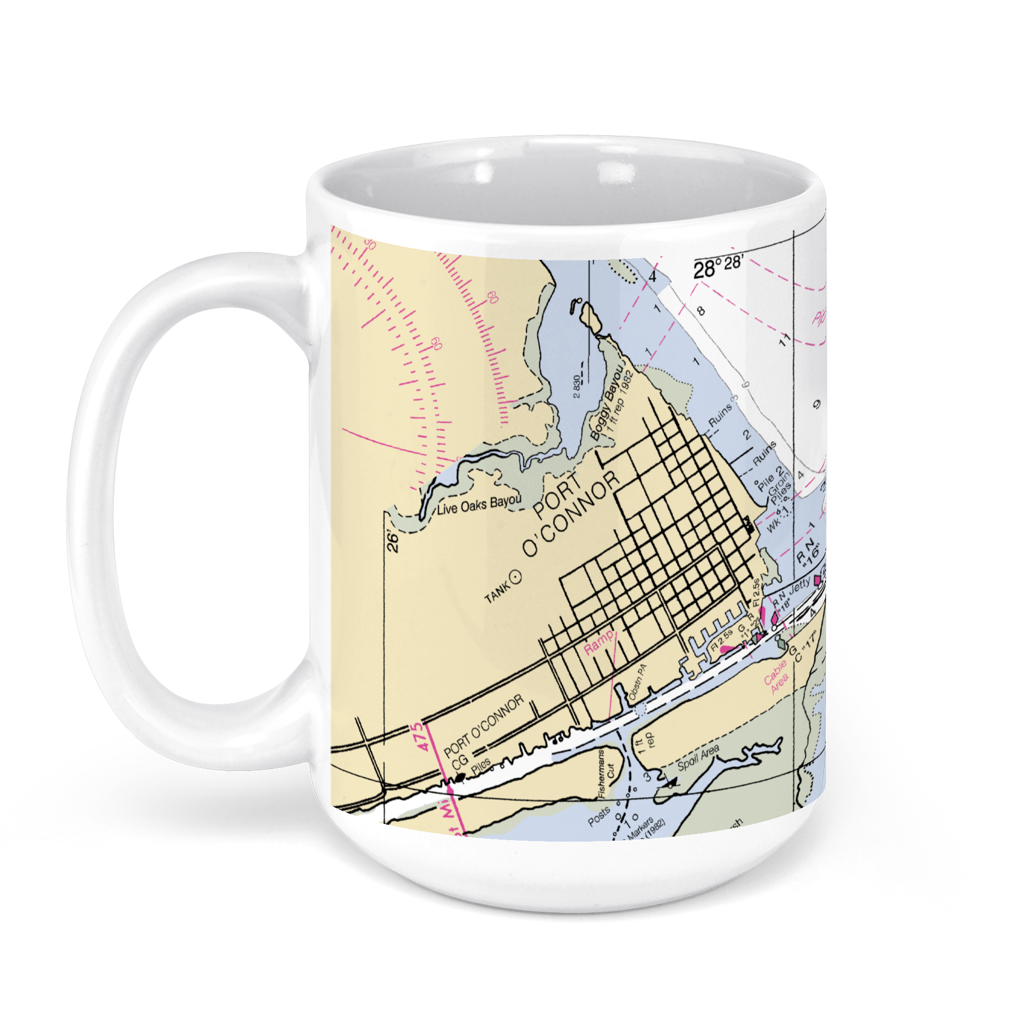 11oz From $14.21 15oz From $16.46
Port O’Connor, TX, USA NOAA Nautical Charts Chart Mug
From: $18.95MIX, MATCH & SAVE! UP TO 25% OFFDistance from your search: 3775.6mi -
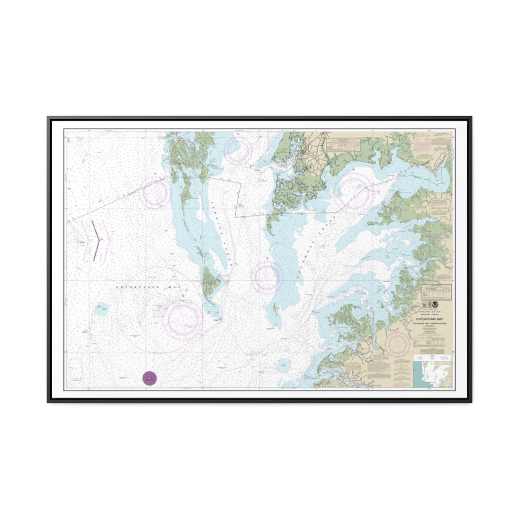
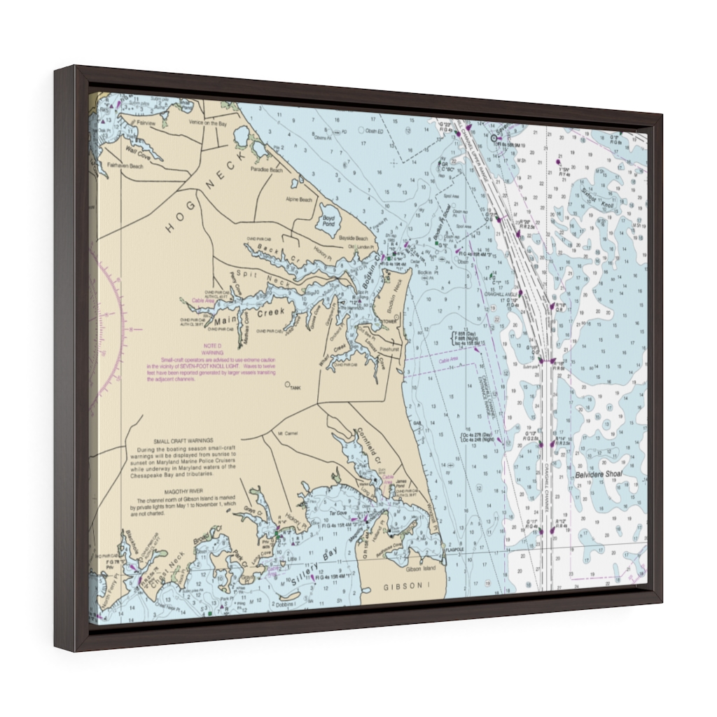
Chesapeake Bay Pocomoke and Tangier Sounds Nautical Chart 12228 – Floating Frame Canvas
From: $164.95PREMIUM FLOATING FRAME CANVASDistance from your search: 3776.2mi -
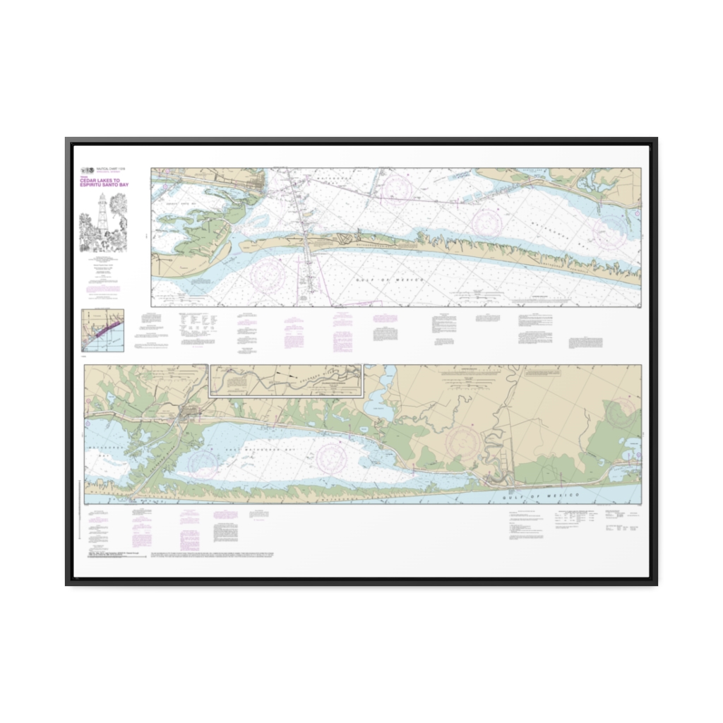
Intracoastal Waterway Cedar Lakes to Espiritu Santo Bay Nautical Chart 11319 – Floating Frame Canvas
From: $164.95PREMIUM FLOATING FRAME CANVASDistance from your search: 3776.9mi -
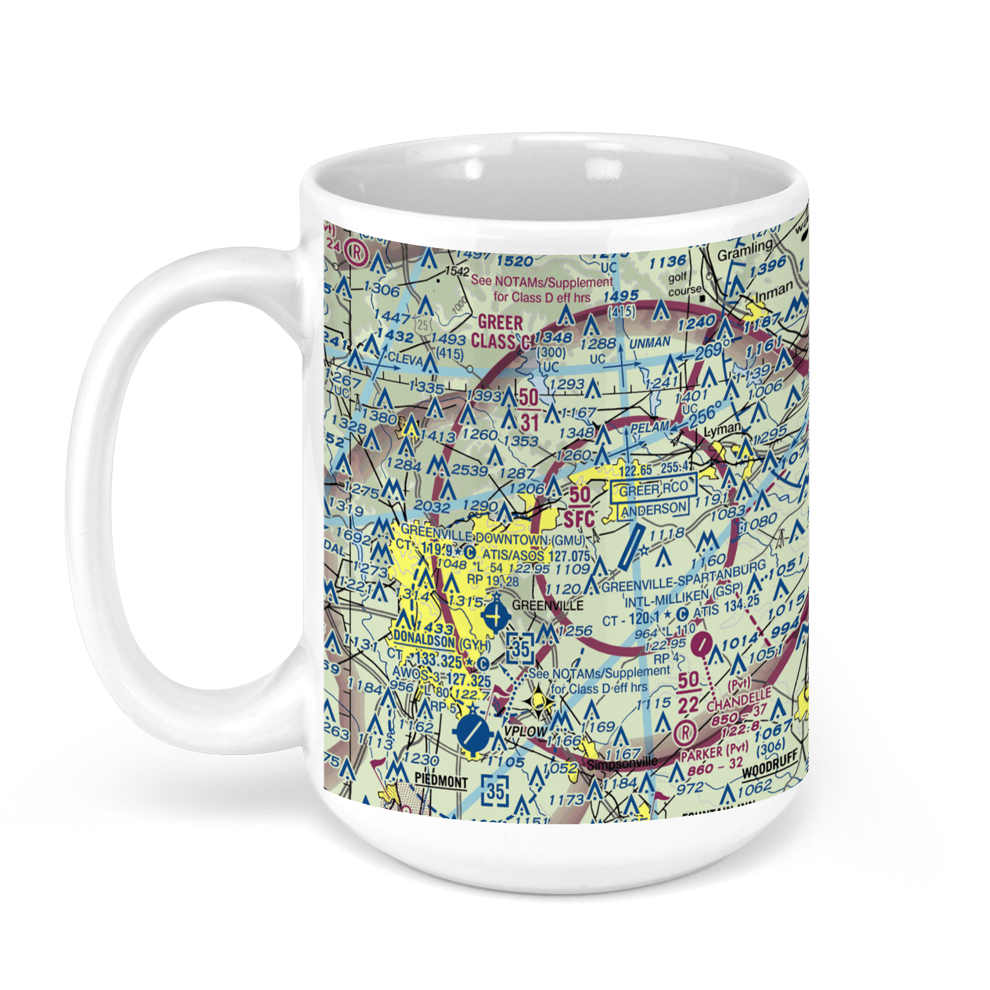 11oz From $14.21 15oz From $16.46
Greenville-Spartanburg International Airport (GSP), GSP Drive, Greer, SC, USA FAA Sectional Aeronautical Charts Chart Mug
From: $18.95MIX, MATCH & SAVE! UP TO 25% OFFDistance from your search: 3779.8mi -
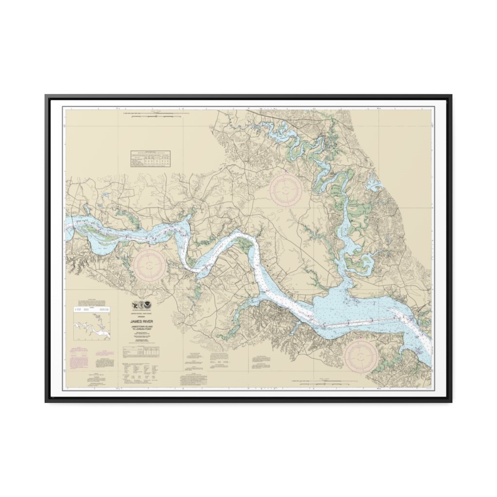
James River Jamestown Island to Jordan Point Nautical Chart 12251 – Floating Frame Canvas
From: $184.95PREMIUM FLOATING FRAME CANVASDistance from your search: 3781.5mi -
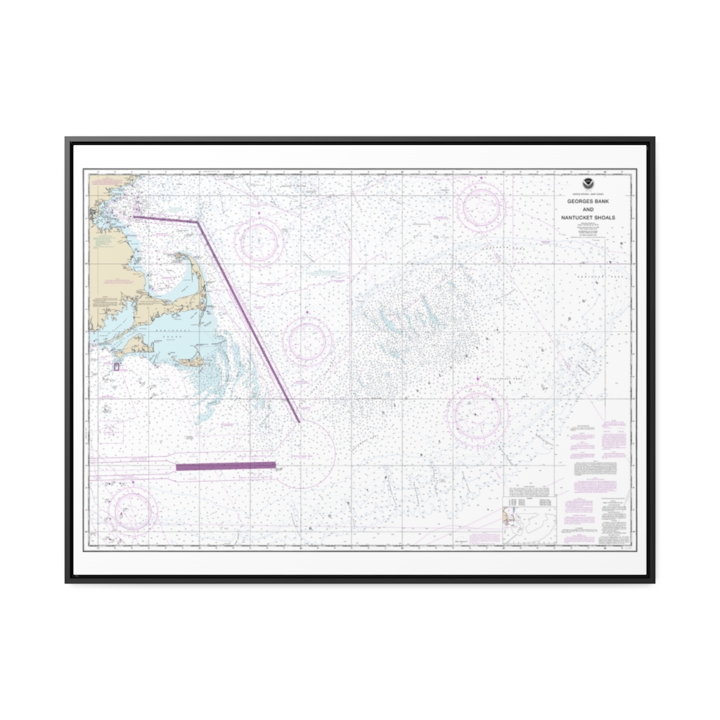
Georges Bank and Nantucket Shoals Nautical Chart 13200 – Floating Frame Canvas
From: $184.95PREMIUM FLOATING FRAME CANVASDistance from your search: 3781.5mi -
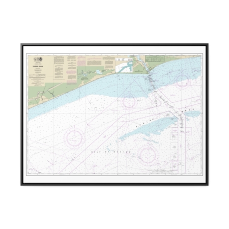
Sabine Bank Nautical Chart 11332 – Floating Frame Canvas
From: $184.95PREMIUM FLOATING FRAME CANVASDistance from your search: 3781.6mi -
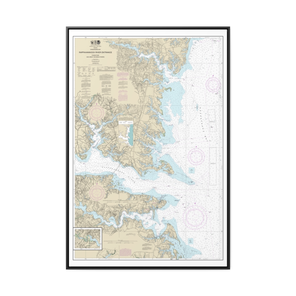
Chesapeake Bay Rappahannock River Entrance, Piankatank and Great Wicomico Rivers Nautical Chart 12235 – Floating Frame Canvas
From: $164.95PREMIUM FLOATING FRAME CANVASDistance from your search: 3783.1mi -
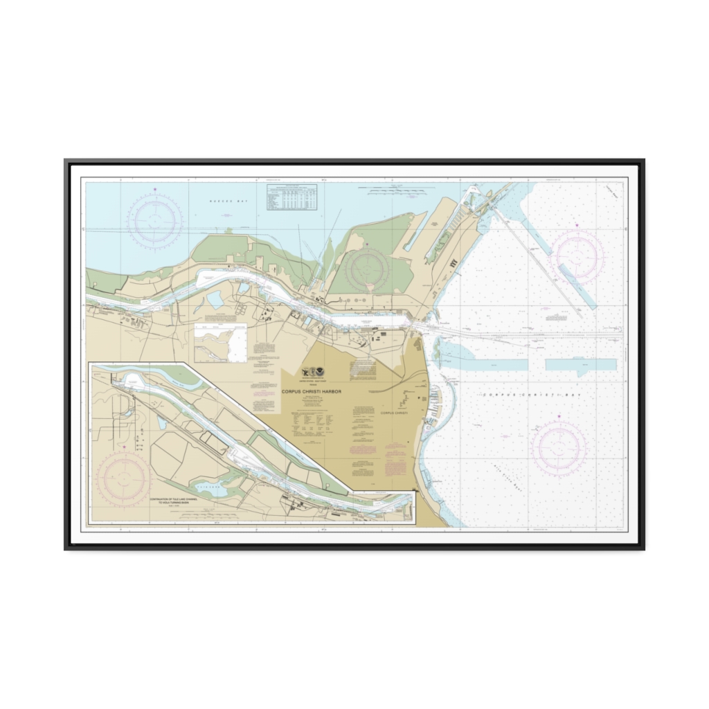
Corpus Christi Harbor Nautical Chart 11311 – Floating Frame Canvas
From: $164.95PREMIUM FLOATING FRAME CANVASDistance from your search: 3783.6mi -
Distance from your search: 3784mi
-
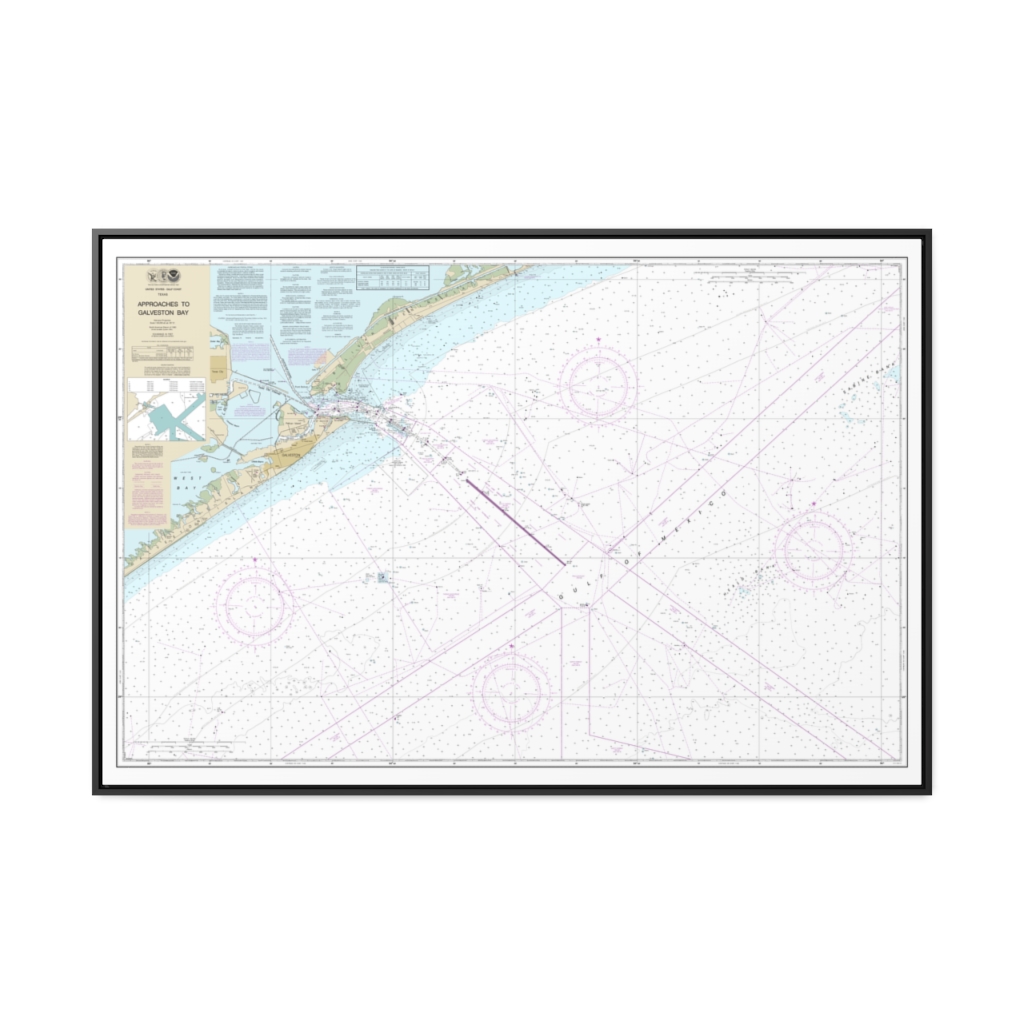
Approaches to Galveston Bay Nautical Chart 11323 – Floating Frame Canvas
From: $164.95PREMIUM FLOATING FRAME CANVASDistance from your search: 3784.3mi -
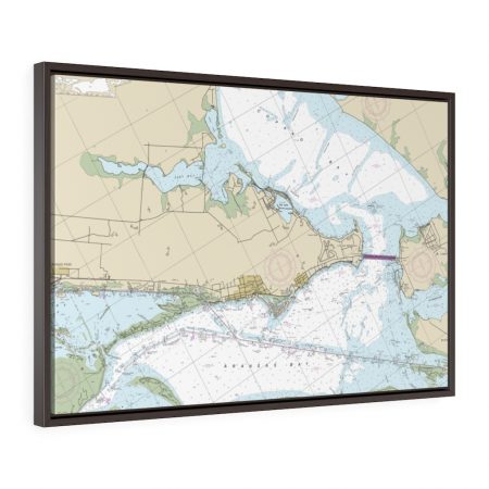
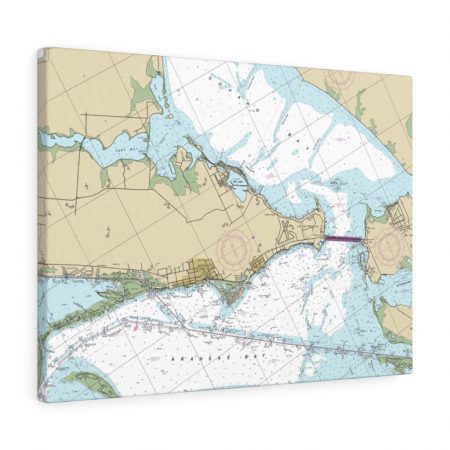
Rockport and Aransas Bay Floating Frame Canvas Nautical Chart
From: $124.95PREMIUM FLOATING FRAME CANVASDistance from your search: 3784.4mi -
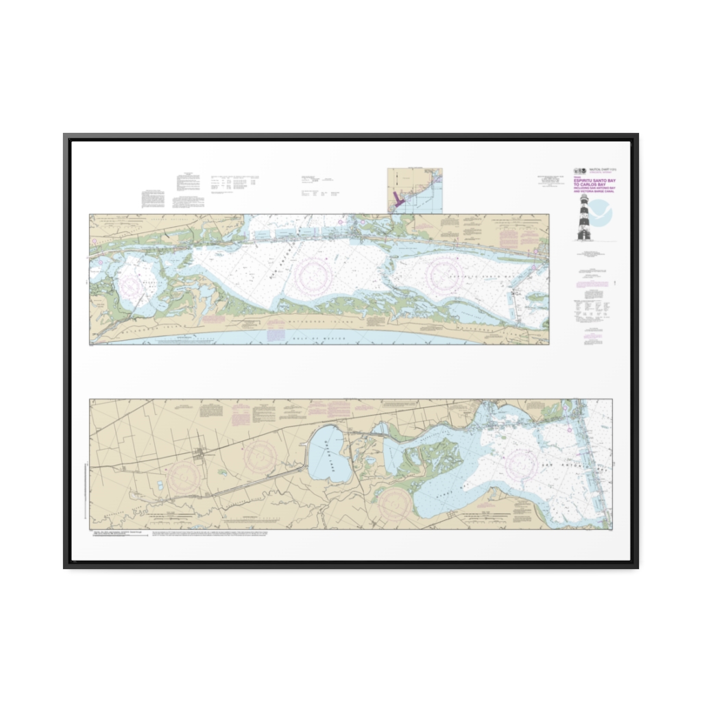
Intracoastal Waterway Espiritu Santo Bay to Carlos Bay including San Antonio Bay and Victoria Barge Canal Nautical Chart 11315 – Floating Frame Canvas
From: $164.95PREMIUM FLOATING FRAME CANVASDistance from your search: 3784.5mi -
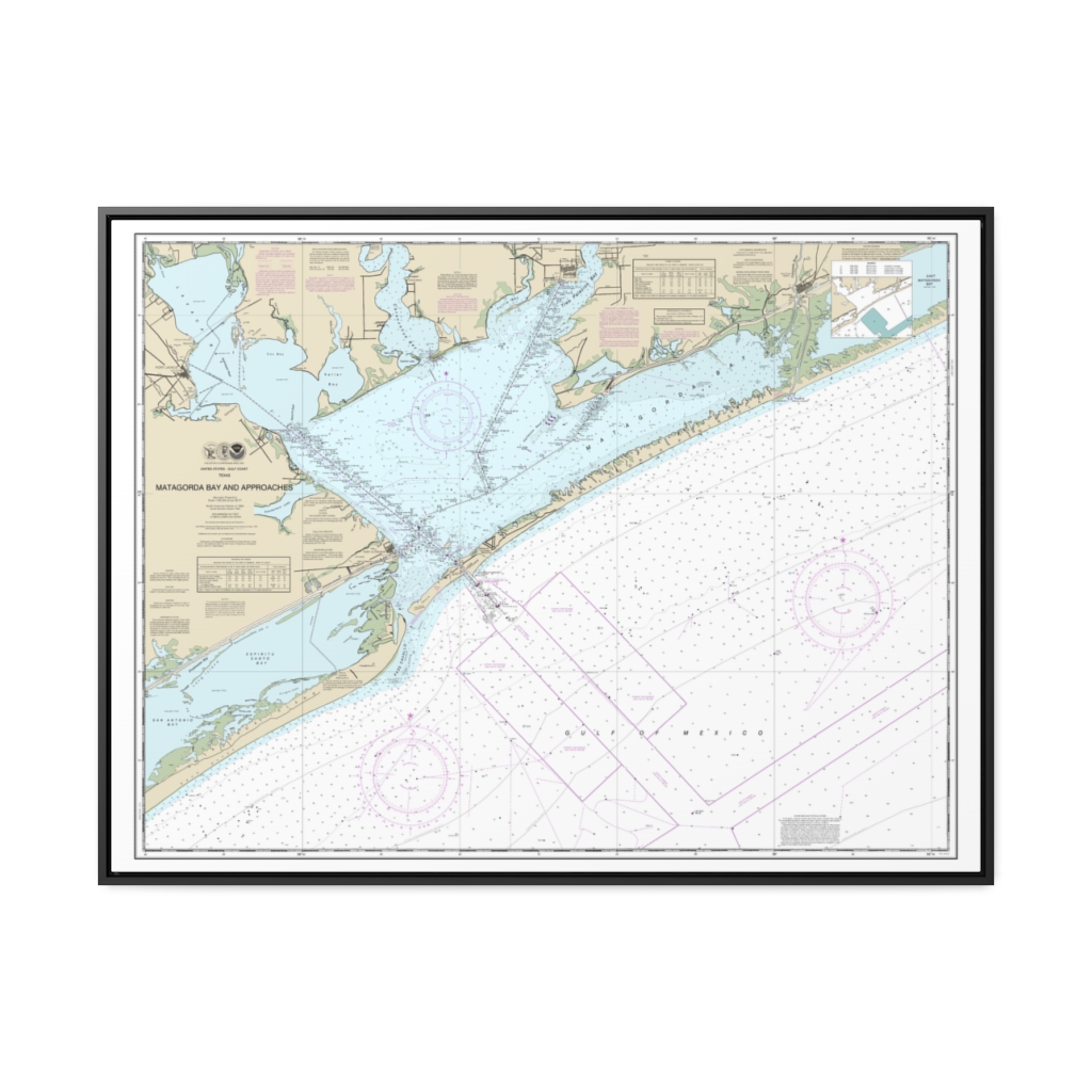
Matagorda Bay and approaches Nautical Chart 11316 – Floating Frame Canvas
From: $184.95PREMIUM FLOATING FRAME CANVASDistance from your search: 3785.6mi -
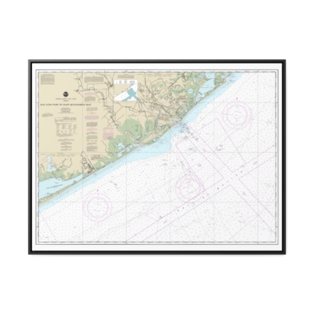
San Luis Pass to East Matagorda Bay Nautical Chart 11321 – Floating Frame Canvas
From: $184.95PREMIUM FLOATING FRAME CANVASDistance from your search: 3786.2mi -
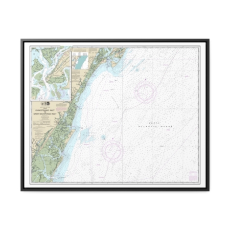
Chincoteague Inlet to Great Machipongo Inlet Chincoteague Inlet Nautical Chart 12210 – Floating Frame Canvas
From: $184.95PREMIUM FLOATING FRAME CANVASDistance from your search: 3786.7mi -
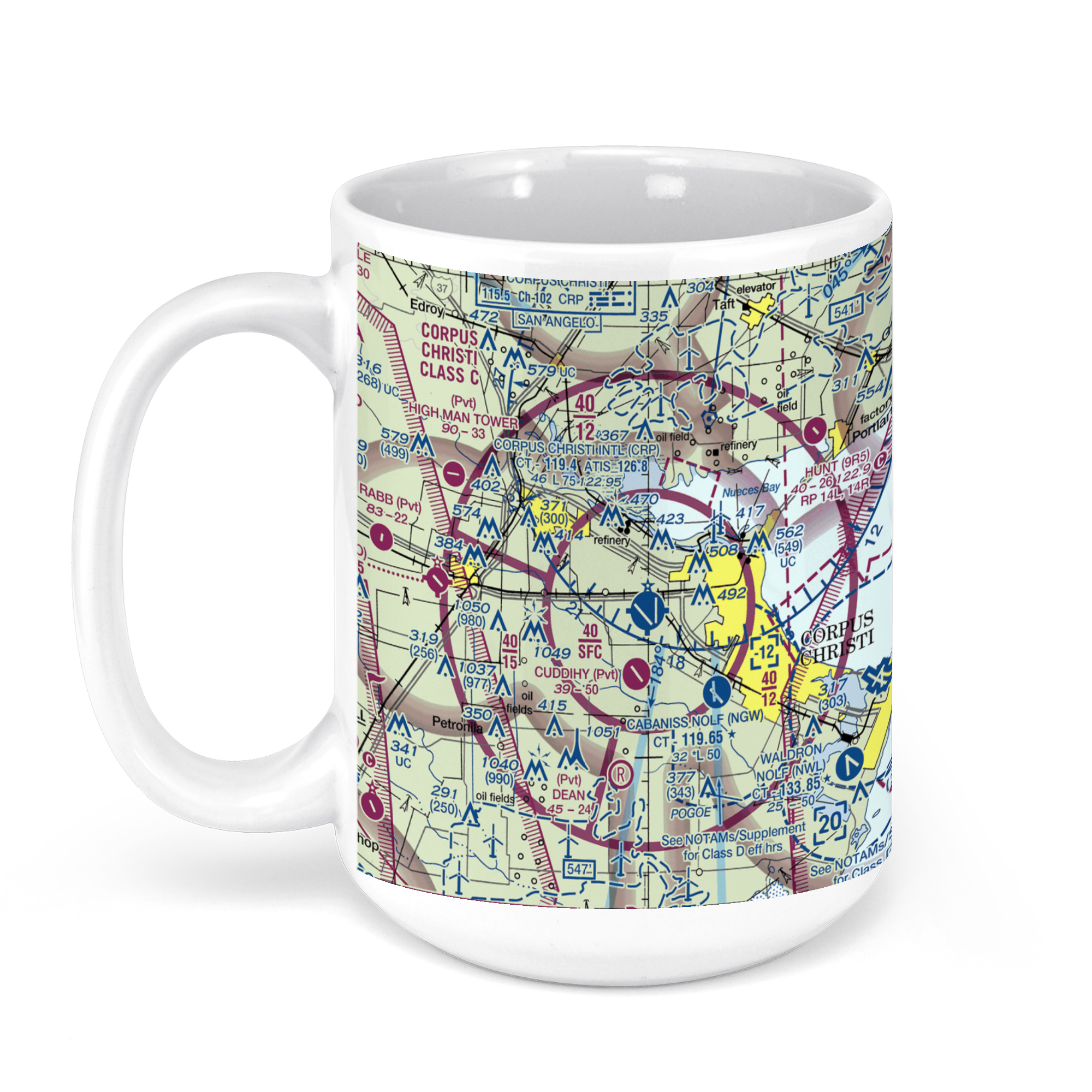 11oz From $14.21 15oz From $16.46
Corpus Christi International Airport, International Drive, Corpus Christi, TX, USA FAA Sectional Aeronautical Charts Chart Mug
From: $18.95MIX, MATCH & SAVE! UP TO 25% OFFDistance from your search: 3787mi -
Distance from your search: 3787mi
-
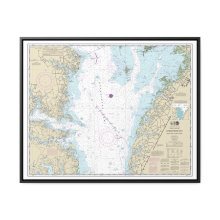
Chesapeake Bay Wolf Trap to Smith Point Nautical Chart 12225 – Floating Frame Canvas
From: $184.95PREMIUM FLOATING FRAME CANVASDistance from your search: 3787.1mi -
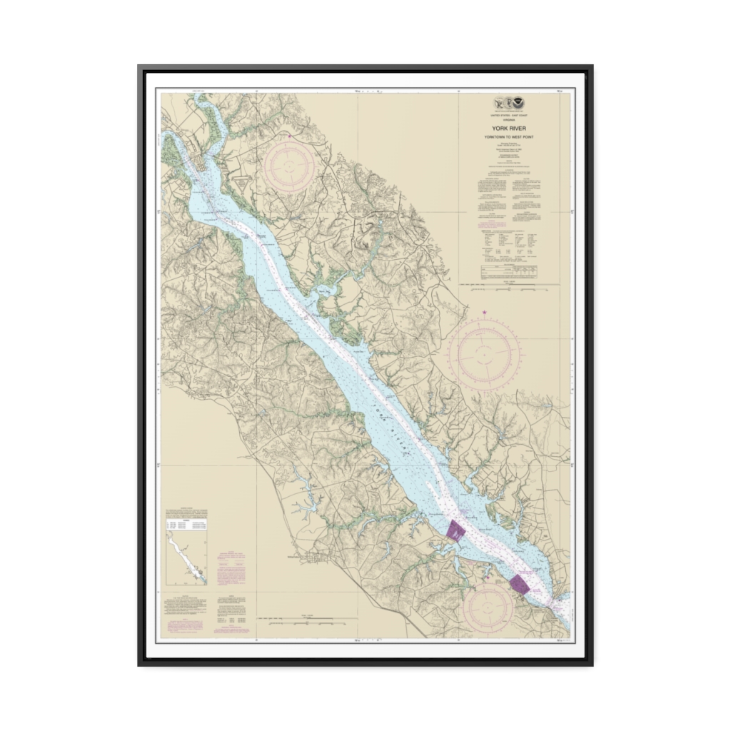
York River Yorktown to West Point Nautical Chart 12243 – Floating Frame Canvas
From: $184.95PREMIUM FLOATING FRAME CANVASDistance from your search: 3788.4mi -
Distance from your search: 3789.9mi
-
Distance from your search: 3789.9mi

