- Display 24 Products per page
-
 11oz From $14.21 15oz From $16.46
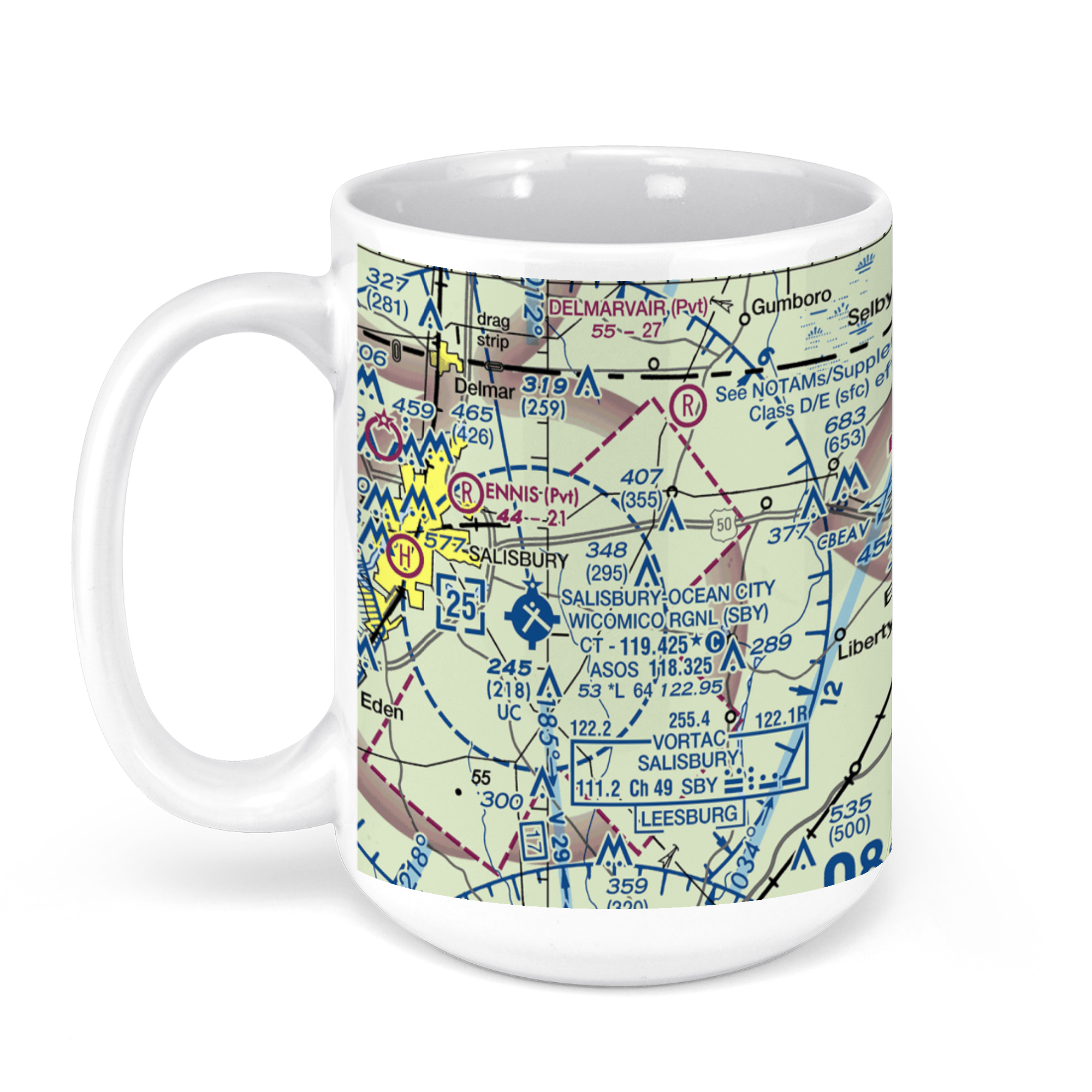
Salisbury-Ocean City Wicomico Regional Airport, Airport Terminal Rd, Salisbury, MD, USA FAA Sectional Aeronautical Charts Chart Mug
From: $18.95MIX, MATCH & SAVE! UP TO 25% OFFDistance from your search: 3900.3mi -
Distance from your search: 3901mi
-
Distance from your search: 3901mi
-
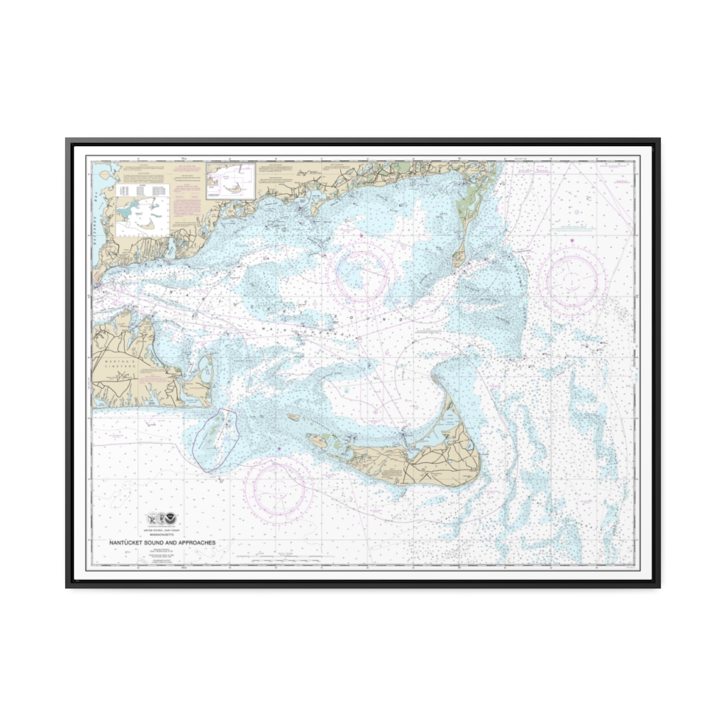
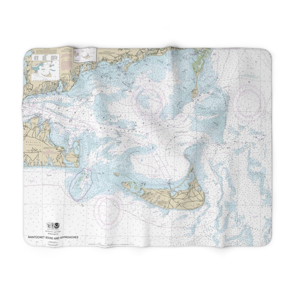
Nantucket Sound and Approaches Nautical Chart 13237 – Floating Frame Canvas
From: $184.95PREMIUM FLOATING FRAME CANVASDistance from your search: 3901.5mi -
Isles Dernieres to Point au Fer Nautical Chart 11356 – Floating Frame Canvas
From: $184.95PREMIUM FLOATING FRAME CANVASDistance from your search: 3901.6mi -
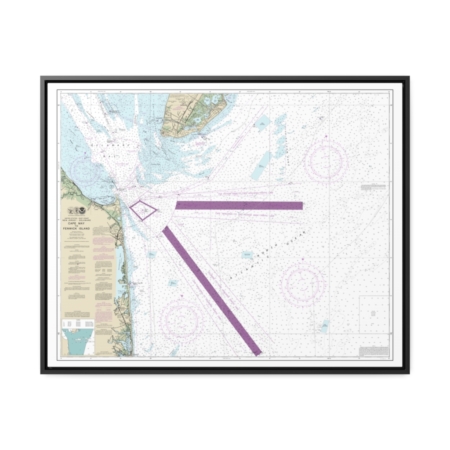
Cape May to Fenwick Island Nautical Chart 12214 – Floating Frame Canvas
From: $184.95PREMIUM FLOATING FRAME CANVASDistance from your search: 3903.1mi -
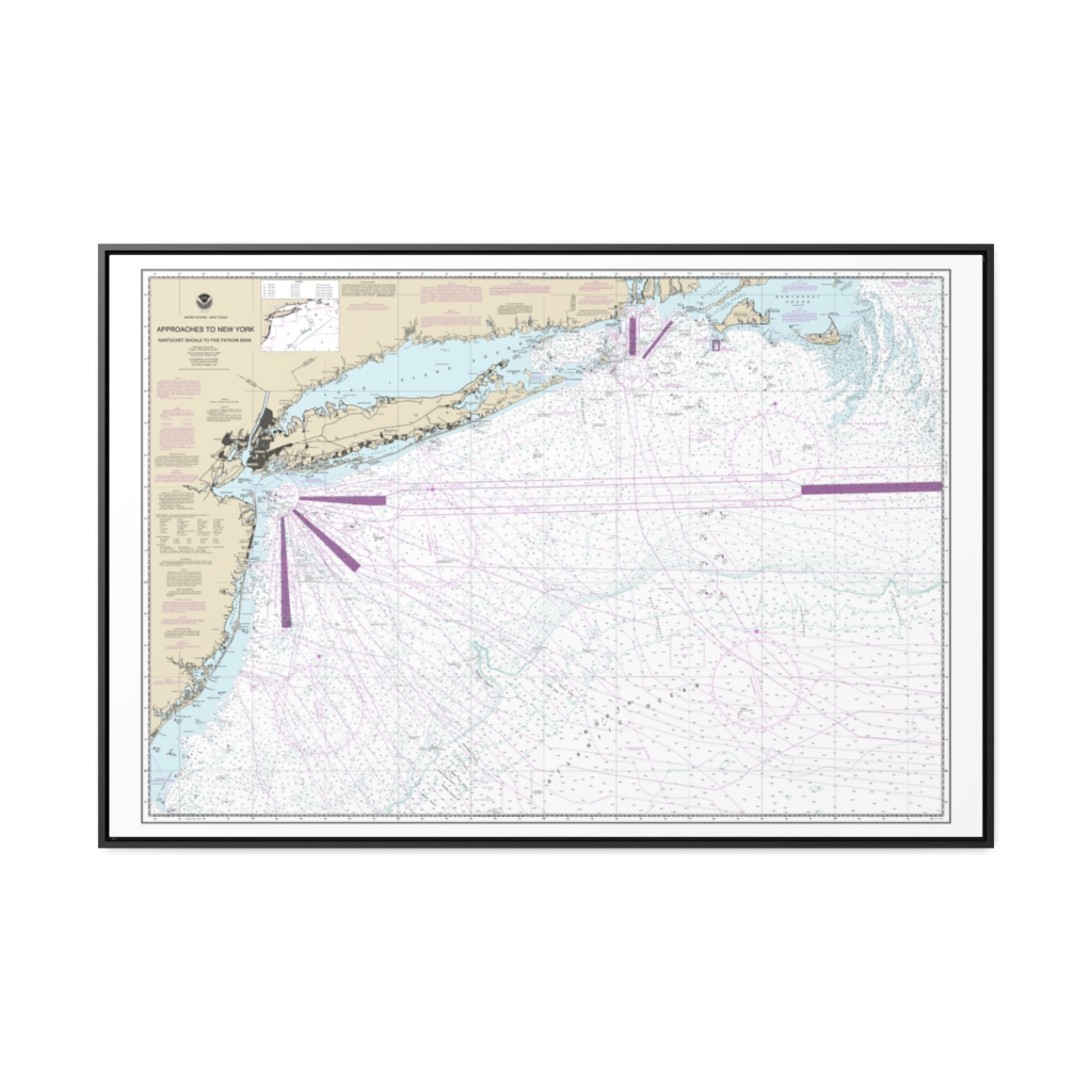
Approaches to New York, Nantucket Shoals to Five Fathom Bank Nautical Chart 12300 – Floating Frame Canvas
From: $164.95PREMIUM FLOATING FRAME CANVASDistance from your search: 3903.5mi -
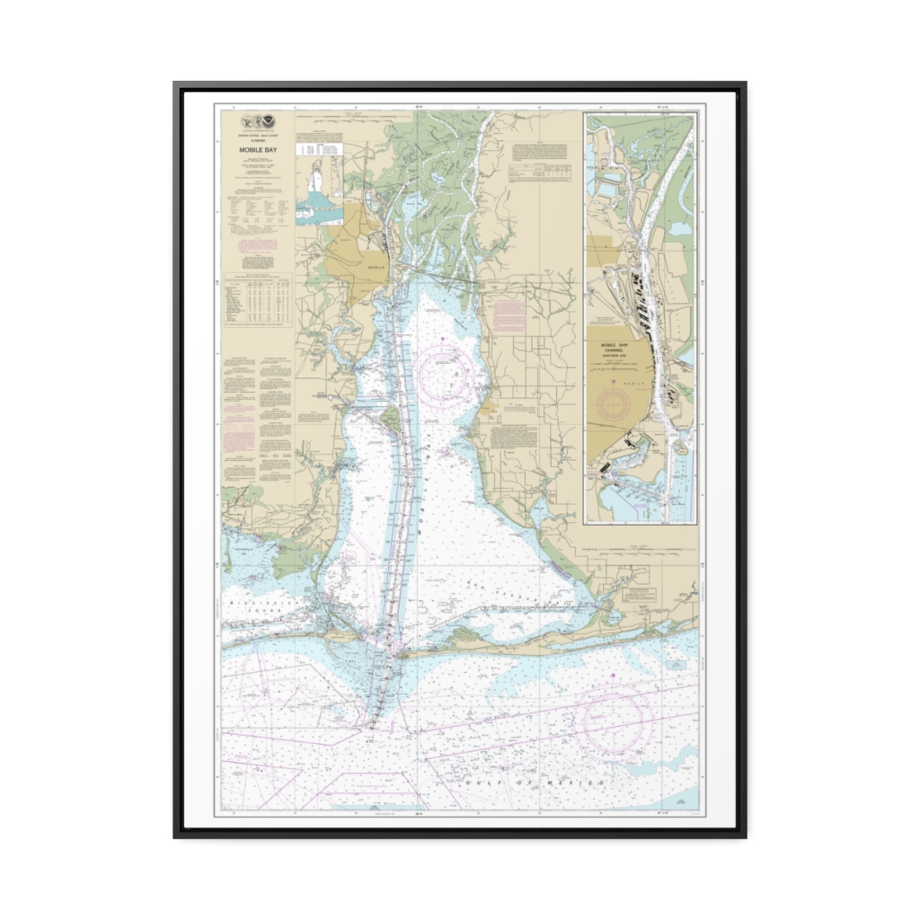
Mobile Bay Mobile Ship Channel-Northern End Nautical Chart 11376 – Floating Frame Canvas
From: $184.95PREMIUM FLOATING FRAME CANVASDistance from your search: 3904.8mi -
Eastern Entrance to Nantucket Sound Nautical Chart 13244 – Floating Frame Canvas
From: $184.95PREMIUM FLOATING FRAME CANVASDistance from your search: 3905.4mi -
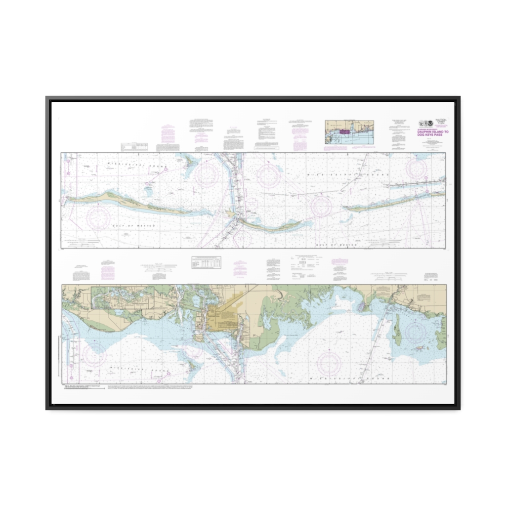
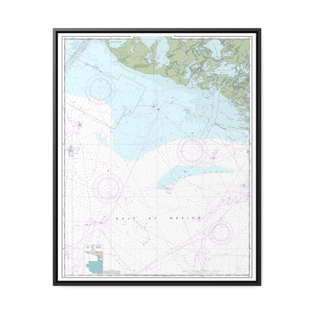
Intracoastal Waterway Dauphin Island to Dog Keys Pass Nautical Chart 11374 – Floating Frame Canvas
From: $164.95PREMIUM FLOATING FRAME CANVASDistance from your search: 3905.6mi -
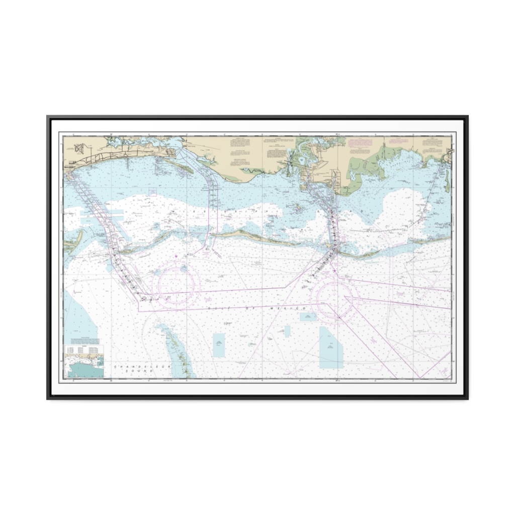
Mississippi Sound and approaches Dauphin Island to Cat Island Nautical Chart 11373 – Floating Frame Canvas
From: $164.95PREMIUM FLOATING FRAME CANVASDistance from your search: 3906.4mi -
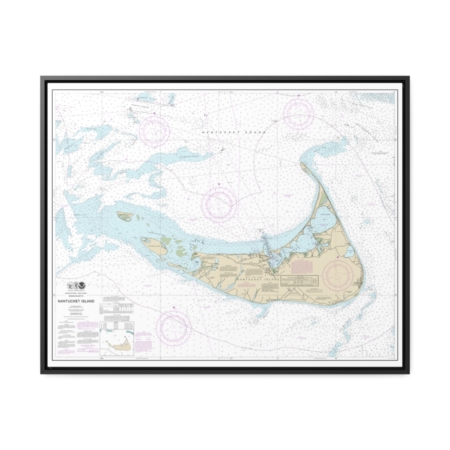
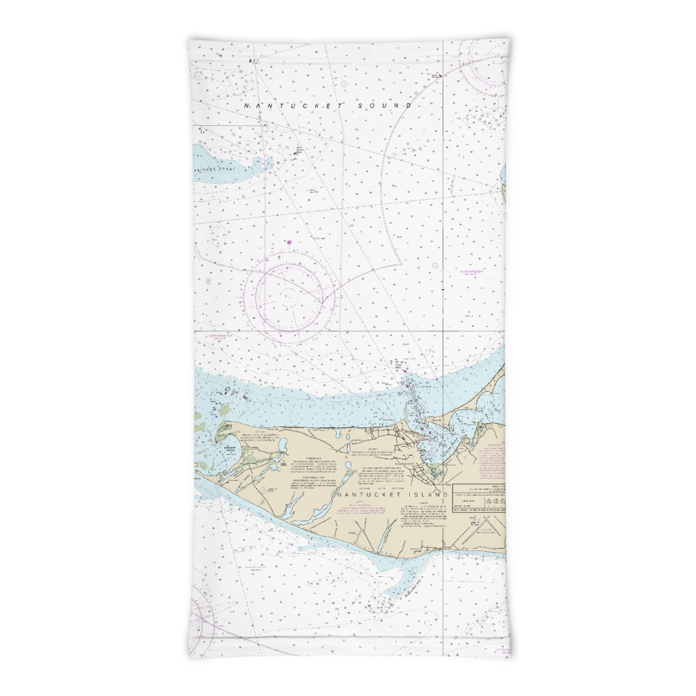
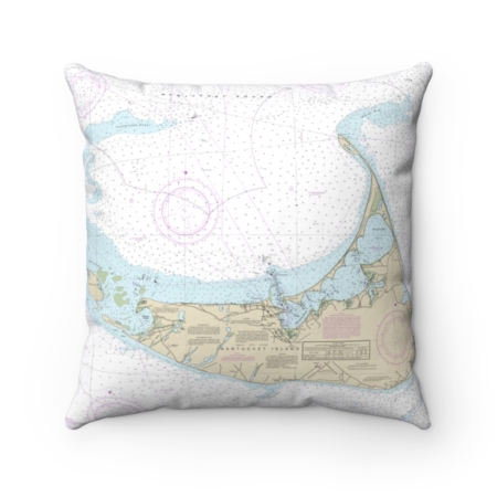
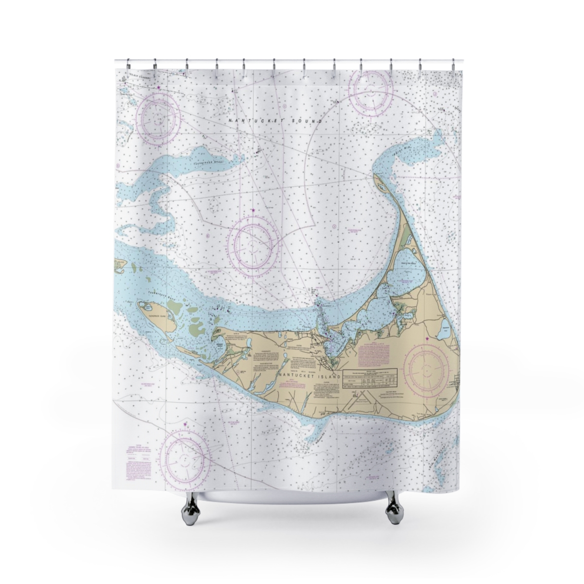
Nantucket Island Nautical Chart 13241 – Floating Frame Canvas
From: $184.95PREMIUM FLOATING FRAME CANVASDistance from your search: 3907.1mi -
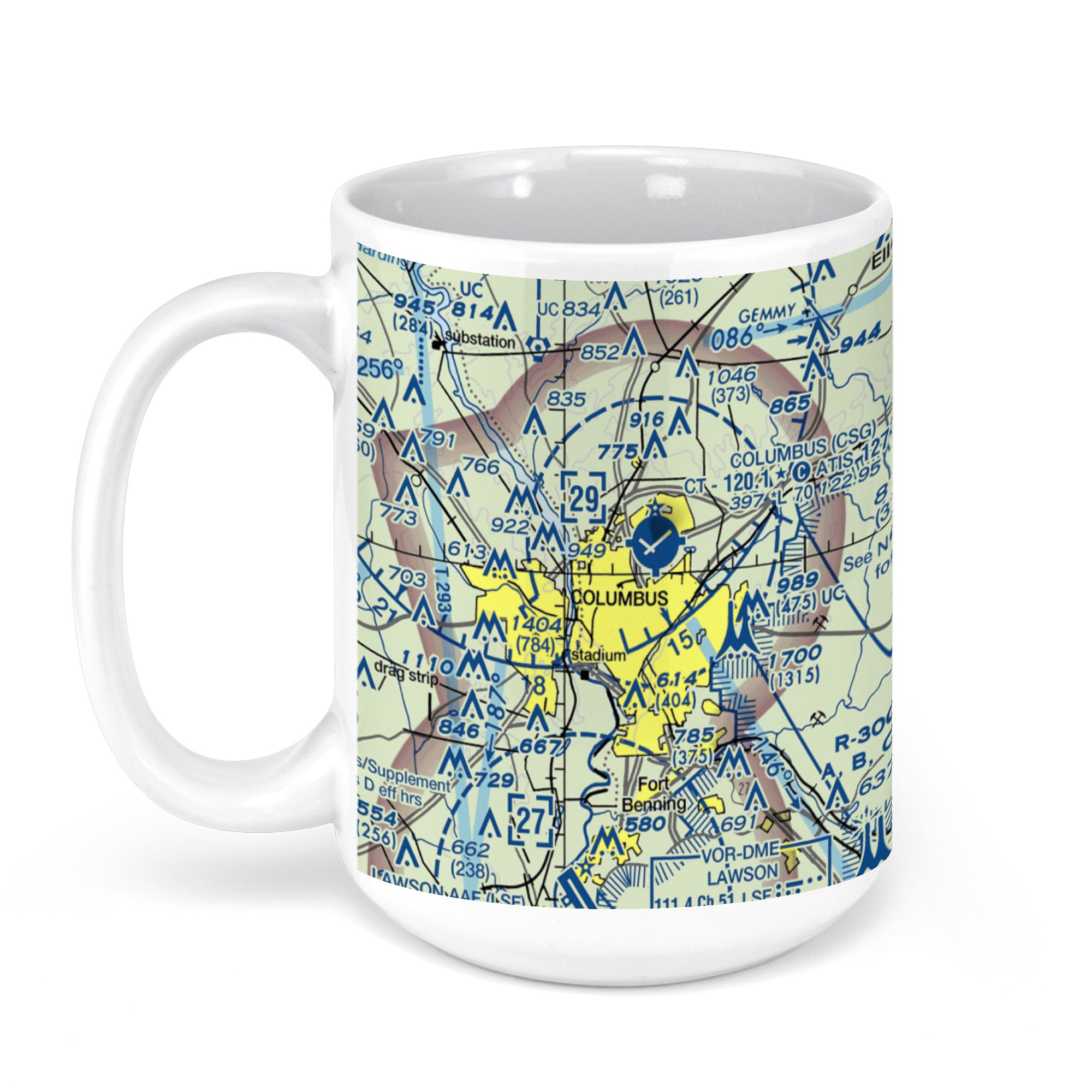 11oz From $14.21 15oz From $16.46
Columbus Airport, West Britt David Road, Columbus, GA, USA FAA Sectional Aeronautical Charts Chart Mug
From: $18.95MIX, MATCH & SAVE! UP TO 25% OFFDistance from your search: 3907.2mi -
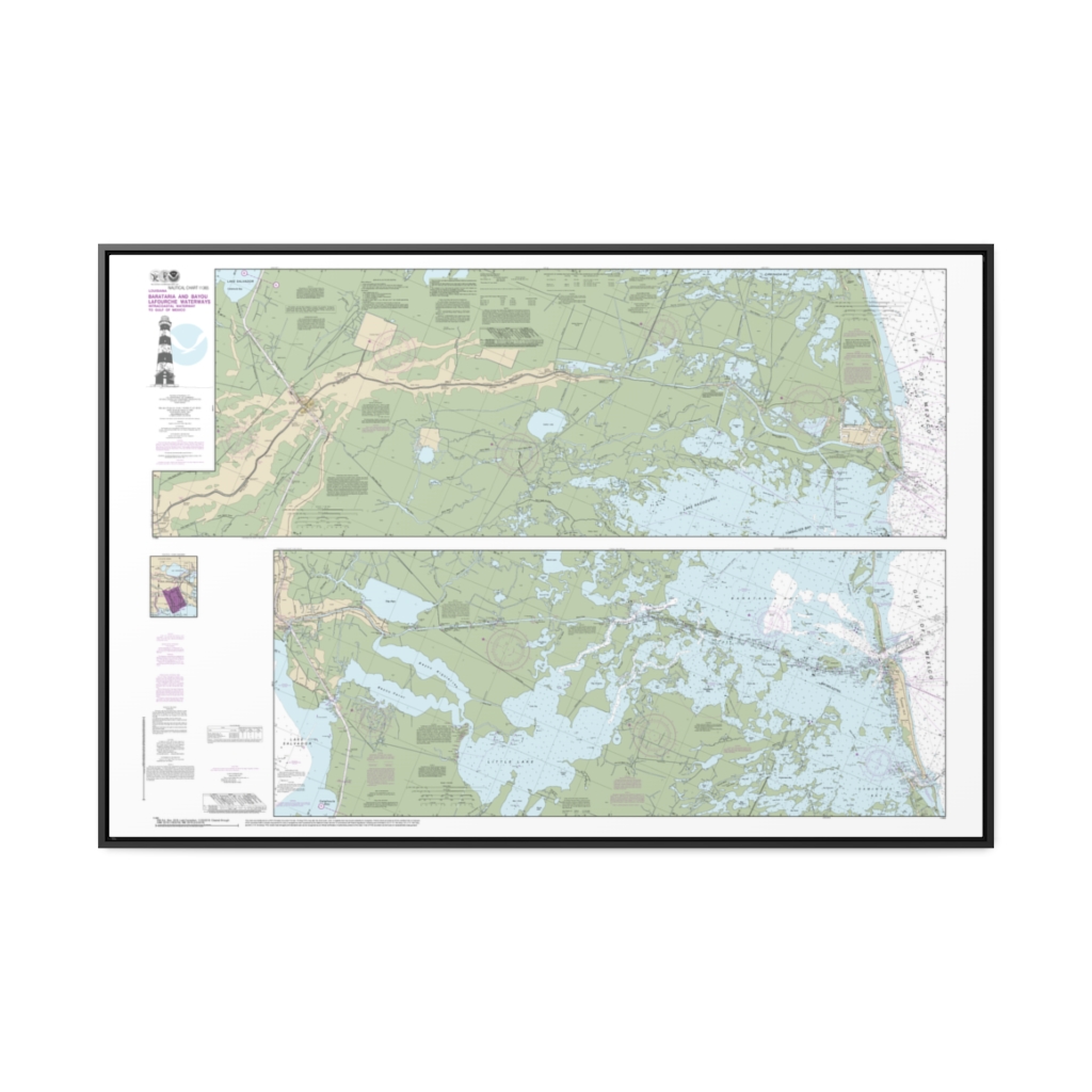
Barataria and Bayou Lafourche Waterways Intracoastal Waterway to Gulf of Mexico Nautical Chart 11365 – Floating Frame Canvas
From: $164.95PREMIUM FLOATING FRAME CANVASDistance from your search: 3909.4mi -
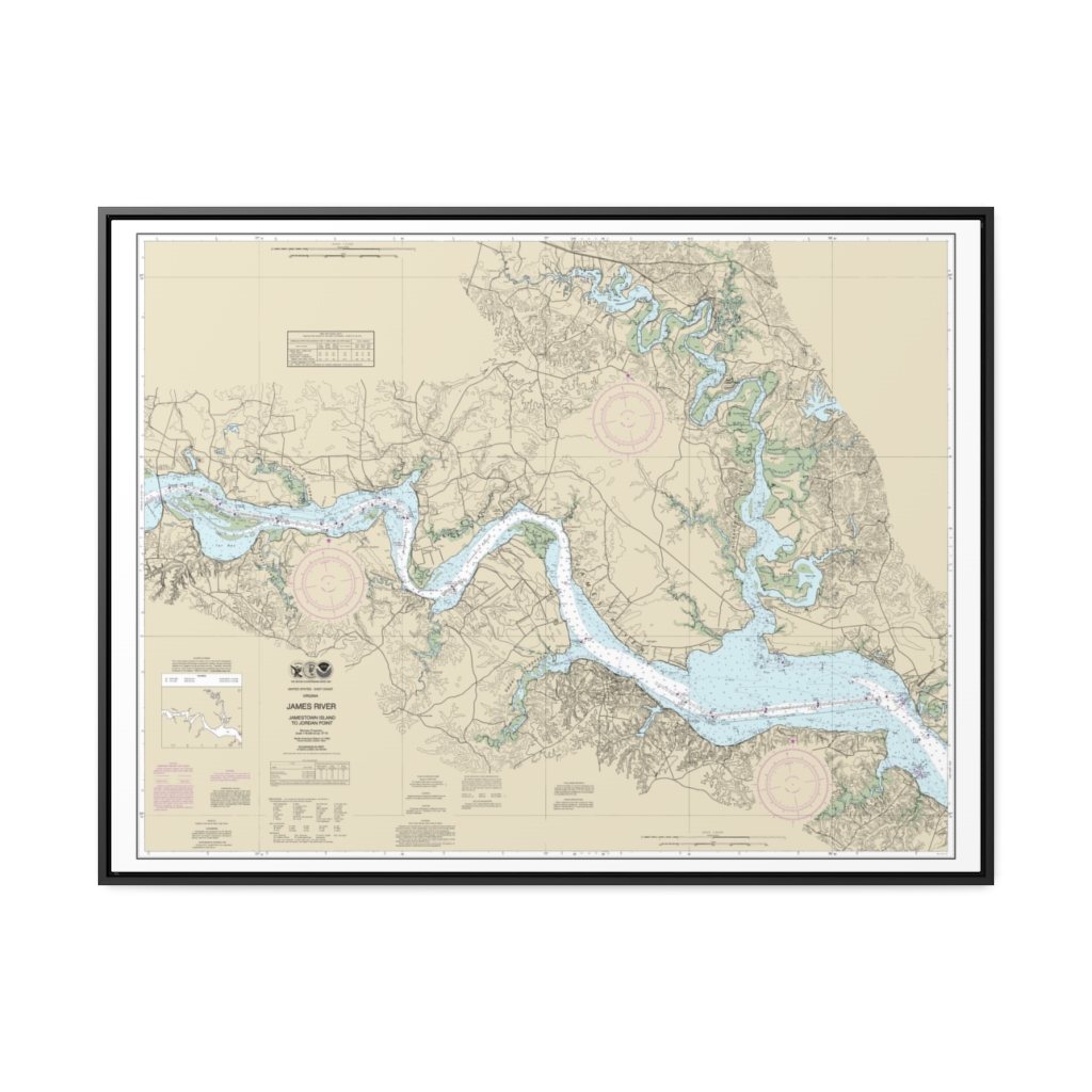
James River Jamestown Island to Jordan Point Nautical Chart 12251 – Floating Frame Canvas
From: $184.95PREMIUM FLOATING FRAME CANVASDistance from your search: 3909.9mi -
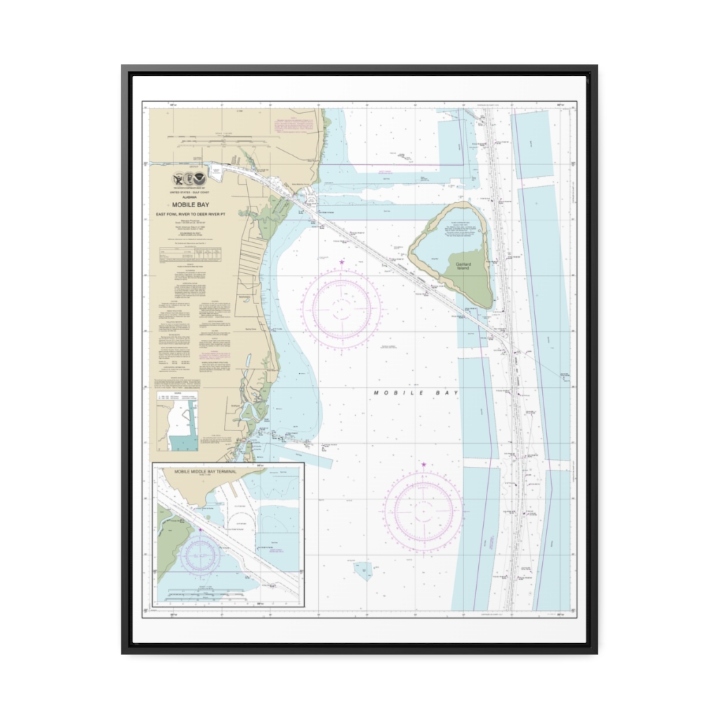
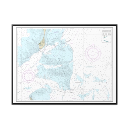
Mobile Bay East Fowl River to Deer River Pt; Mobile Middle Bay Terminal Nautical Chart 11380 – Floating Frame Canvas
From: $184.95PREMIUM FLOATING FRAME CANVASDistance from your search: 3910.5mi -
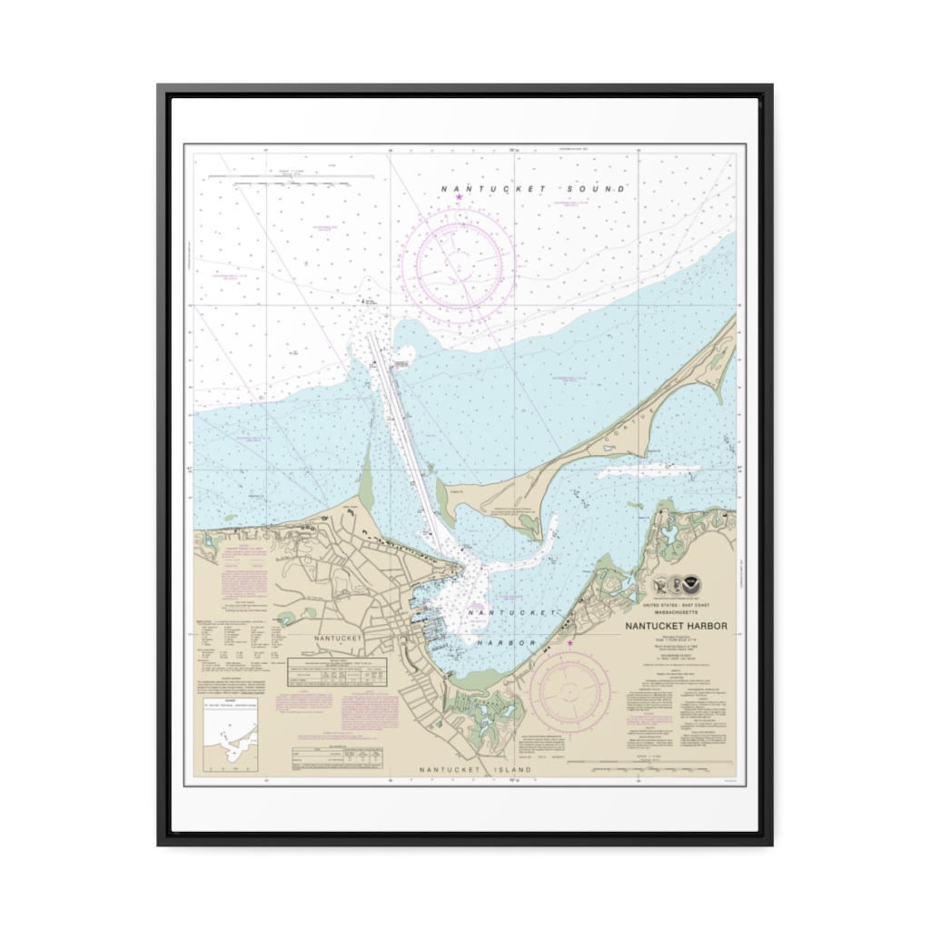
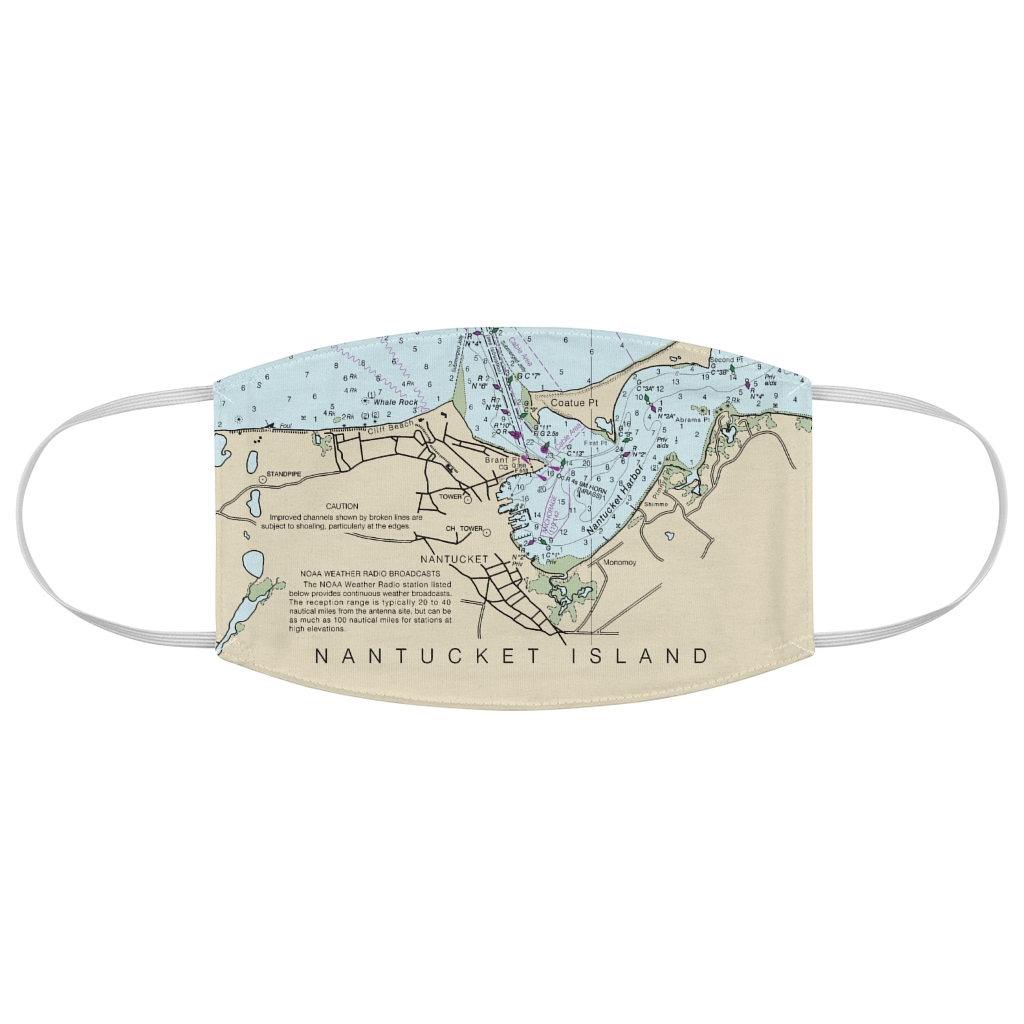
Nantucket Harbor Nautical Chart 13242 – Floating Frame Canvas
From: $184.95PREMIUM FLOATING FRAME CANVASDistance from your search: 3910.9mi -
Distance from your search: 3910.9mi
-
Distance from your search: 3910.9mi
-
Distance from your search: 3910.9mi
-
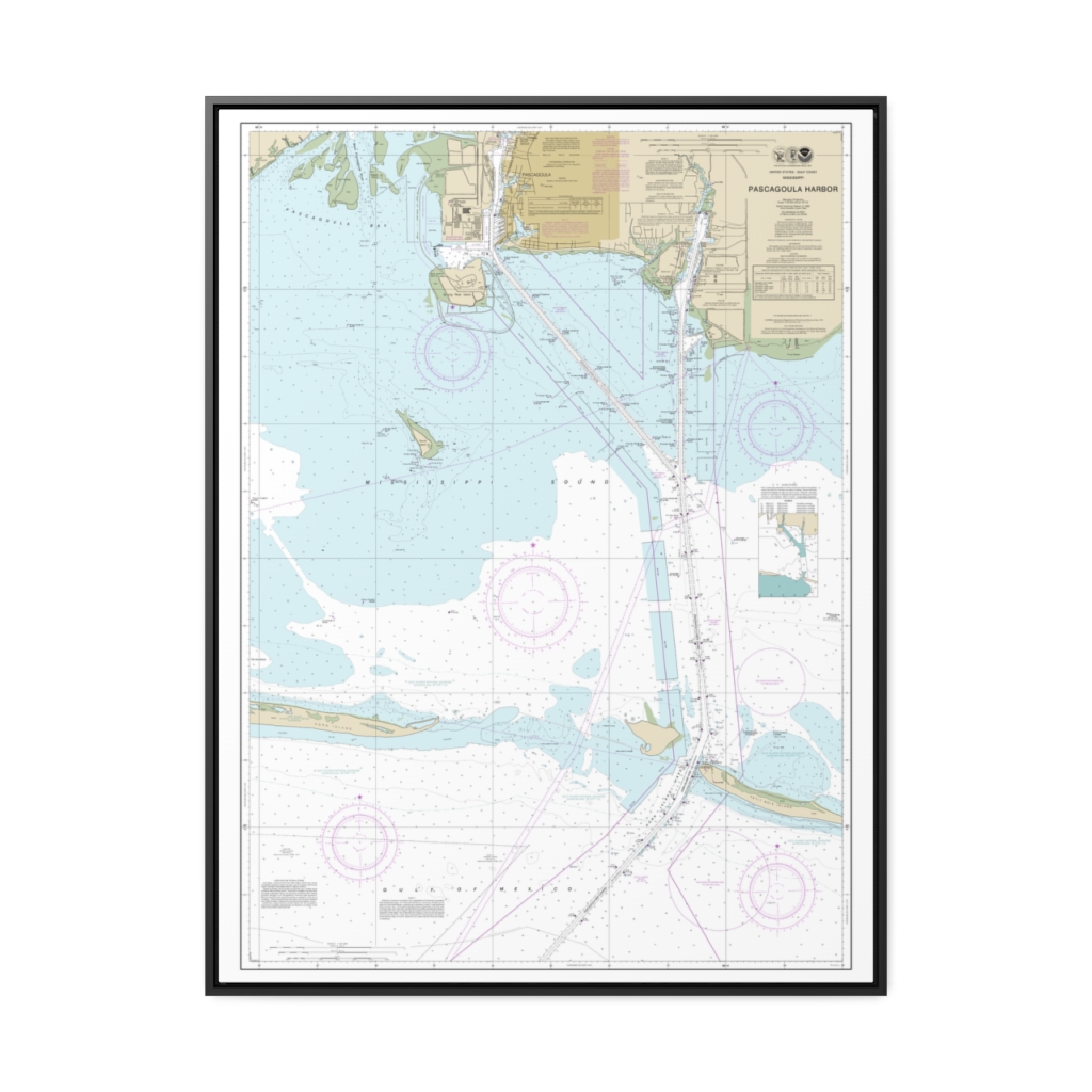
Pascagoula Harbor Nautical Chart 11375 – Floating Frame Canvas
From: $184.95PREMIUM FLOATING FRAME CANVASDistance from your search: 3911.4mi -
Distance from your search: 3911.5mi
-
Distance from your search: 3911.5mi
-
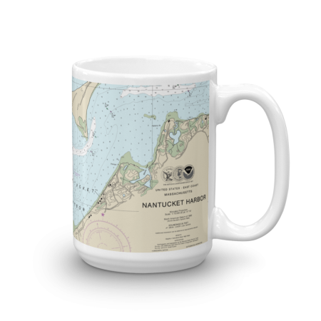 11oz From $14.21 15oz From $16.46
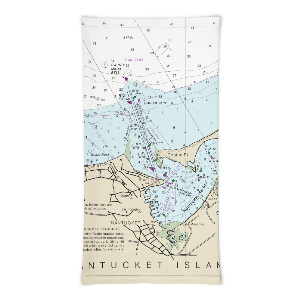
Nantucket Harbor Chart Mug
From: $18.95MIX, MATCH & SAVE! UP TO 25% OFFDistance from your search: 3911.5mi