- Display 24 Products per page
-
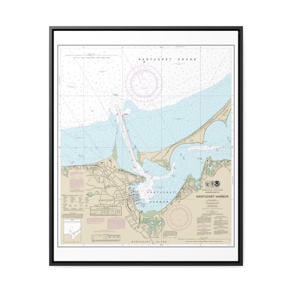
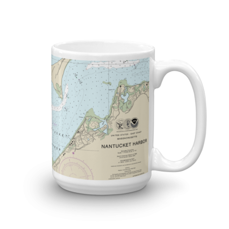
Nantucket Harbor Nautical Chart 13242 – Floating Frame Canvas
From: $184.95PREMIUM FLOATING FRAME CANVASDistance from your search: 3457.1mi -
Distance from your search: 3457.1mi
-
Distance from your search: 3457.1mi
-
Distance from your search: 3457.1mi
-
 11oz From $14.21 15oz From $16.46
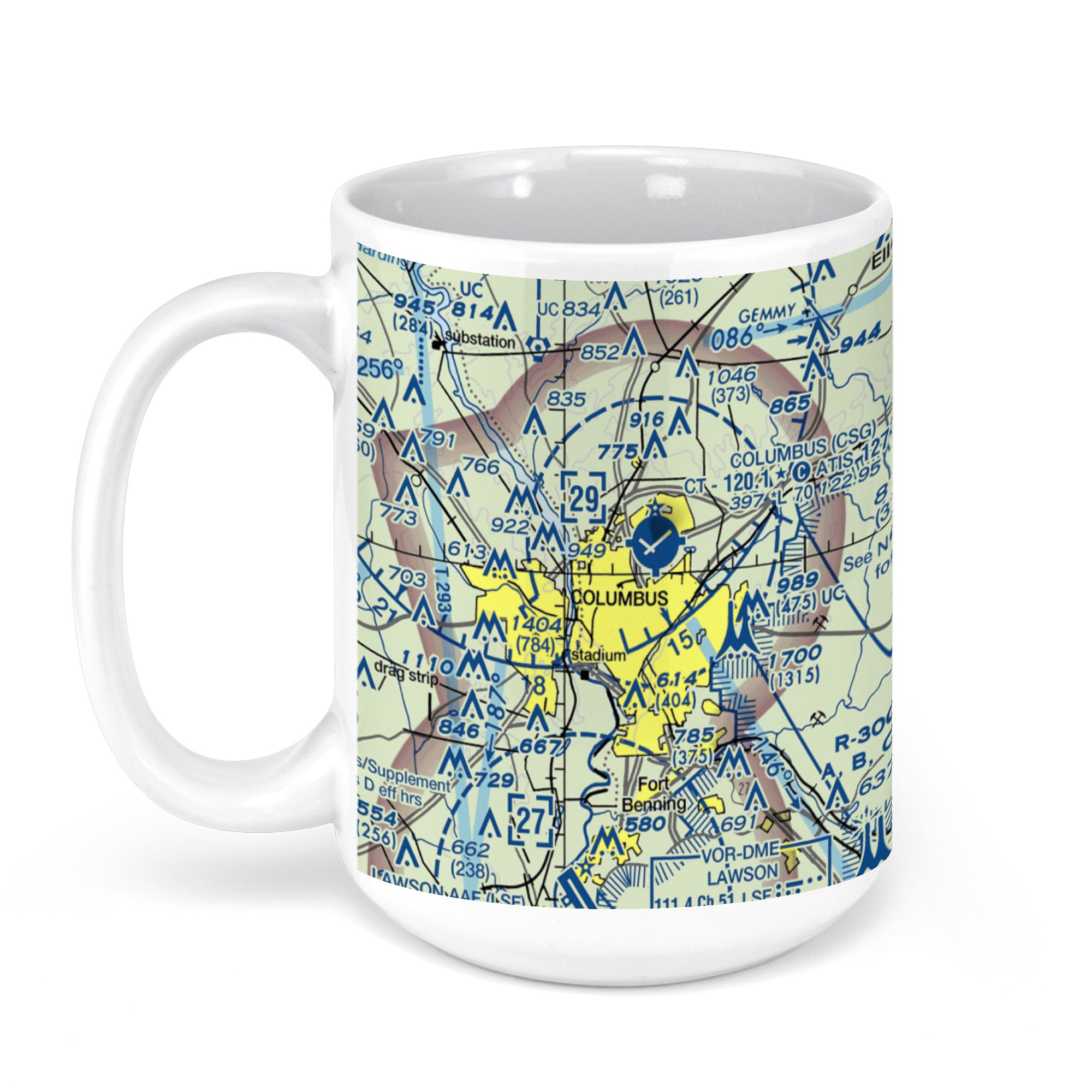
Columbus Airport, West Britt David Road, Columbus, GA, USA FAA Sectional Aeronautical Charts Chart Mug
From: $18.95MIX, MATCH & SAVE! UP TO 25% OFFDistance from your search: 3457.3mi -
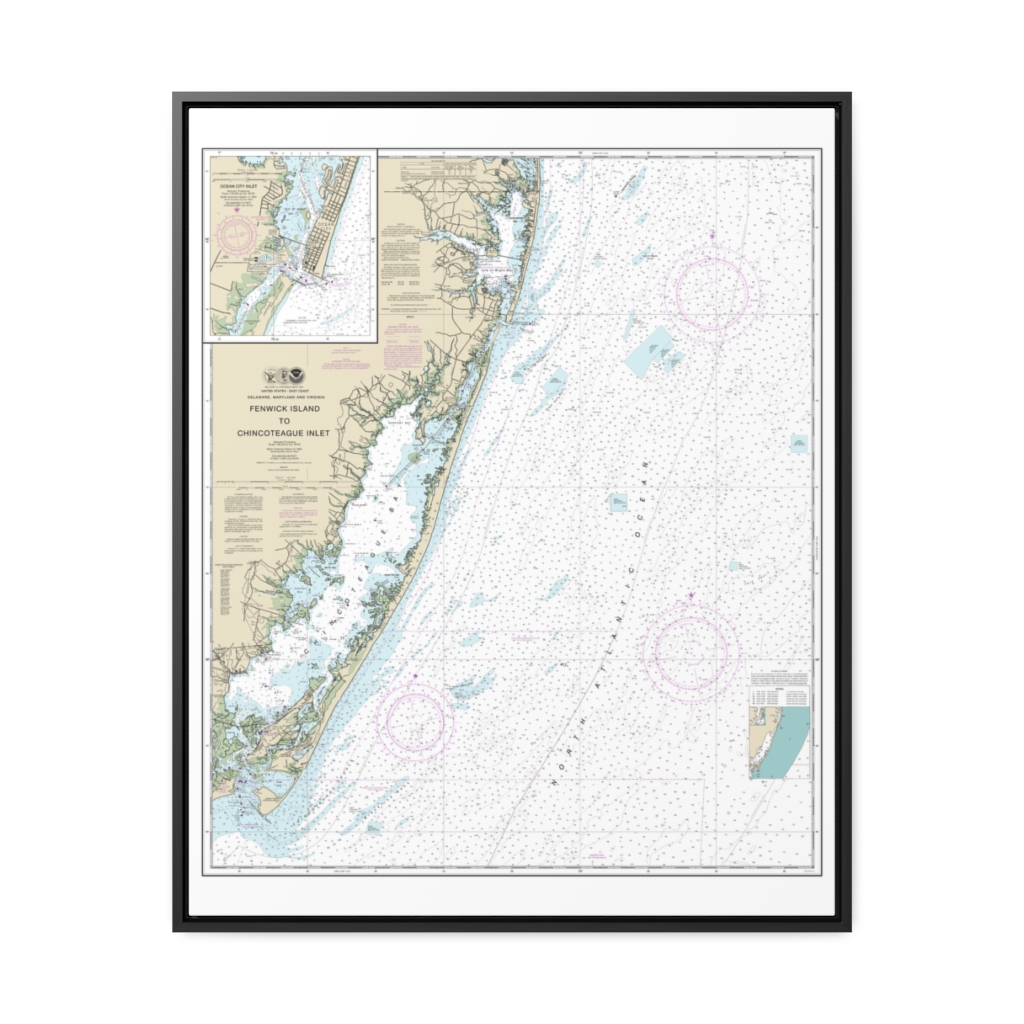
Fenwick Island to Chincoteague Inlet;Ocean City Inlet Nautical Chart 12211 – Floating Frame Canvas
From: $184.95PREMIUM FLOATING FRAME CANVASDistance from your search: 3457.4mi -
Distance from your search: 3457.7mi
-
Distance from your search: 3457.7mi
-
 11oz From $14.21 15oz From $16.46
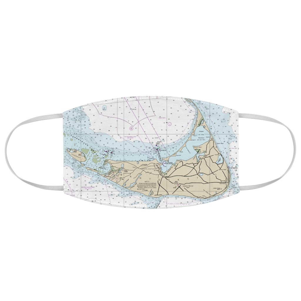
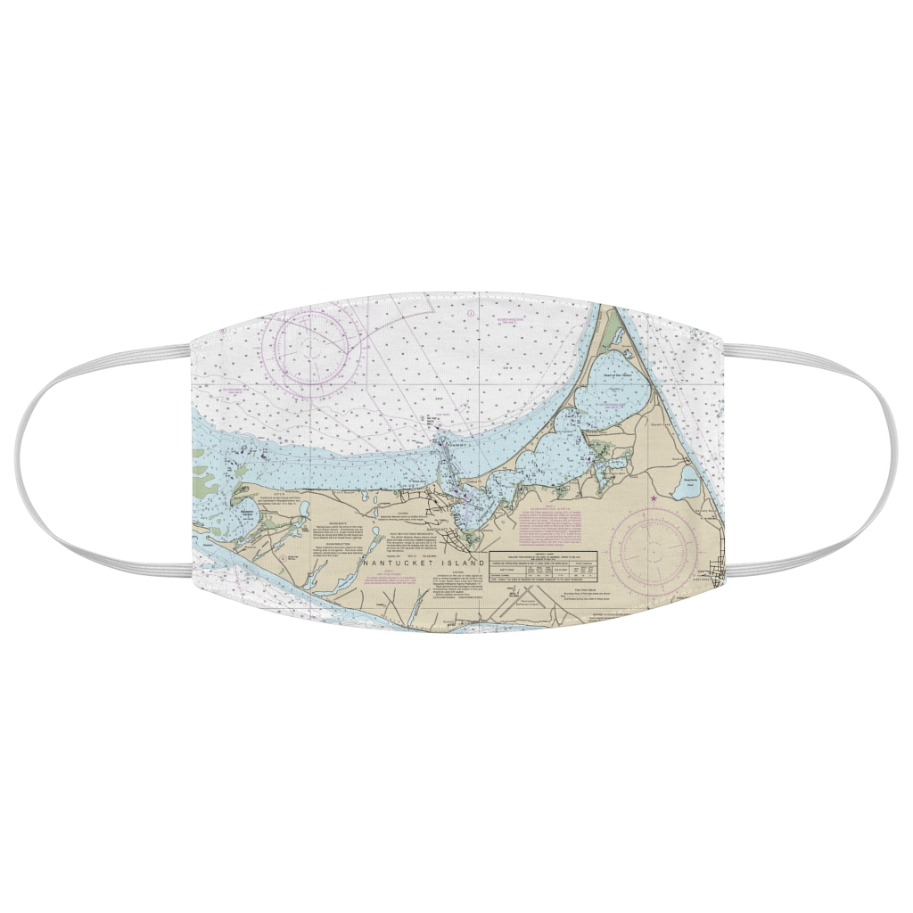
Nantucket Harbor Chart Mug
From: $18.95MIX, MATCH & SAVE! UP TO 25% OFFDistance from your search: 3457.7mi -
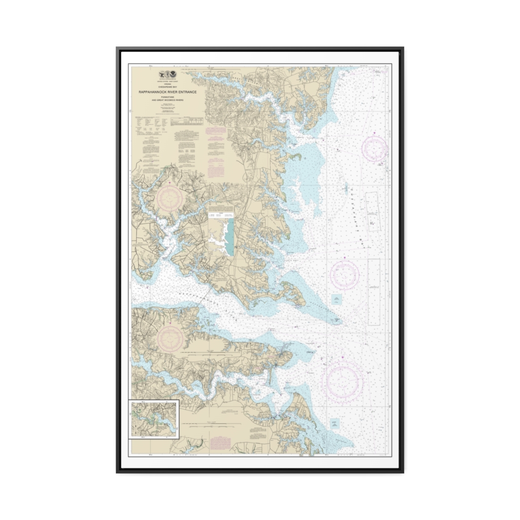
Chesapeake Bay Rappahannock River Entrance, Piankatank and Great Wicomico Rivers Nautical Chart 12235 – Floating Frame Canvas
From: $164.95PREMIUM FLOATING FRAME CANVASDistance from your search: 3459mi -
 11oz From $14.21 15oz From $16.46
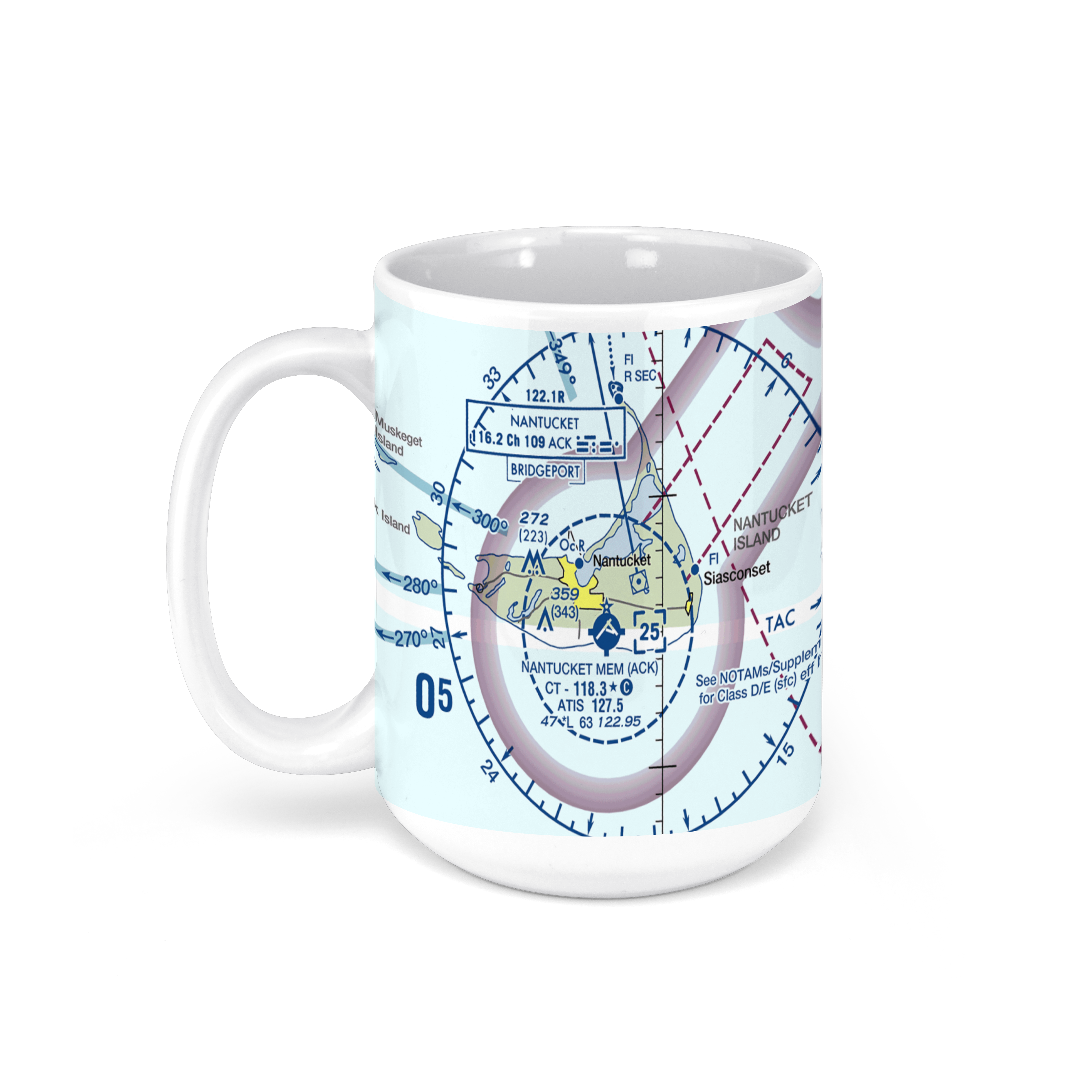
Nantucket Memorial Airport, Airport Road, Nantucket, MA, USA FAA Sectional Aeronautical Charts Chart Mug
From: $18.95MIX, MATCH & SAVE! UP TO 25% OFFDistance from your search: 3459.7mi -
Distance from your search: 3460.2mi
-
Distance from your search: 3460.2mi
-
Distance from your search: 3460.2mi
-
Distance from your search: 3460.2mi
-
Distance from your search: 3460.2mi
-
Distance from your search: 3460.2mi
-
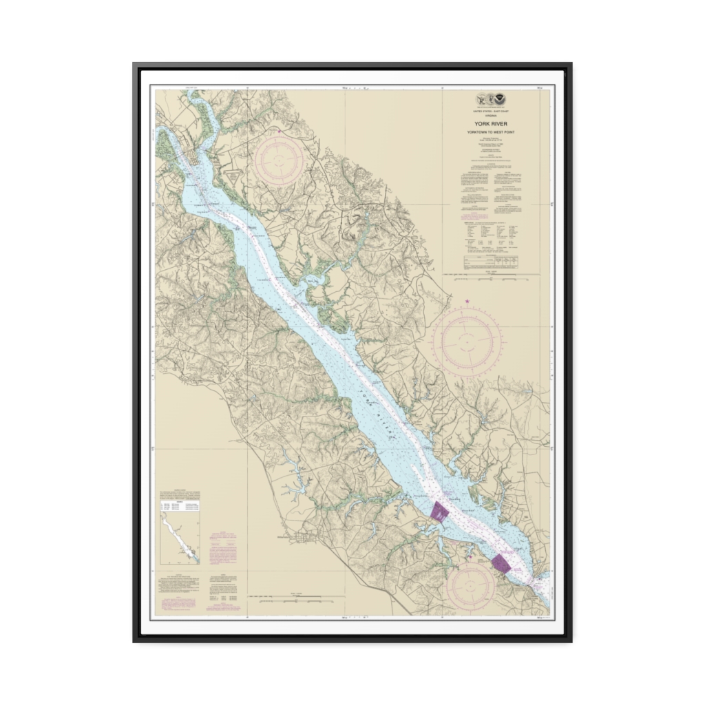
York River Yorktown to West Point Nautical Chart 12243 – Floating Frame Canvas
From: $184.95PREMIUM FLOATING FRAME CANVASDistance from your search: 3461.5mi -
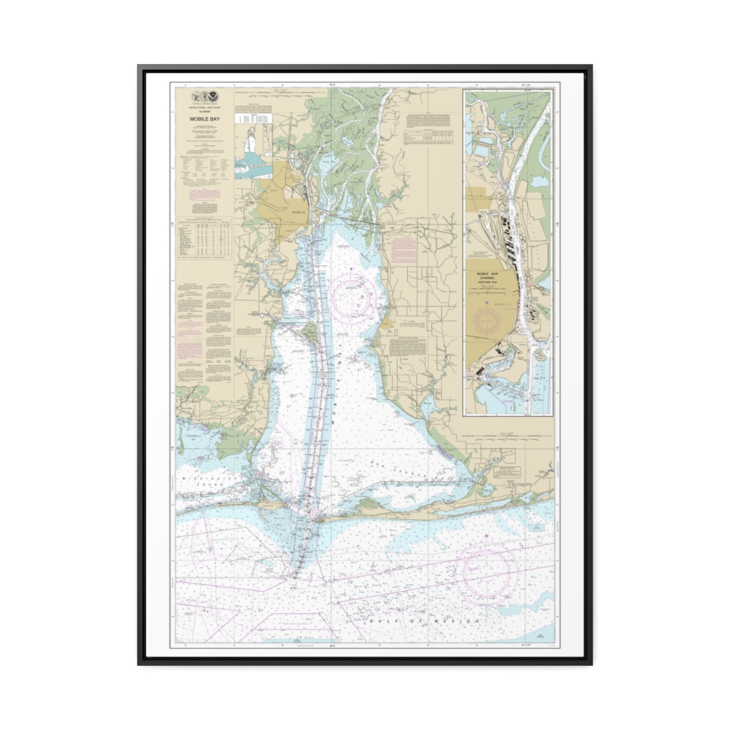
Mobile Bay Mobile Ship Channel-Northern End Nautical Chart 11376 – Floating Frame Canvas
From: $184.95PREMIUM FLOATING FRAME CANVASDistance from your search: 3462.1mi -
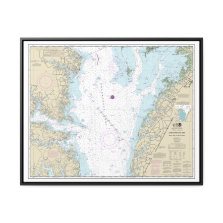
Chesapeake Bay Wolf Trap to Smith Point Nautical Chart 12225 – Floating Frame Canvas
From: $184.95PREMIUM FLOATING FRAME CANVASDistance from your search: 3462.7mi -
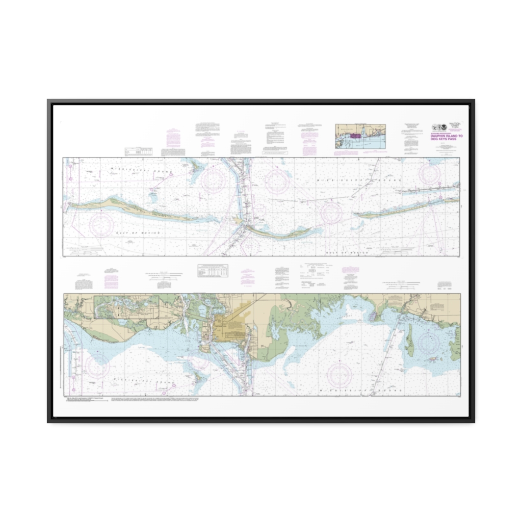
Intracoastal Waterway Dauphin Island to Dog Keys Pass Nautical Chart 11374 – Floating Frame Canvas
From: $164.95PREMIUM FLOATING FRAME CANVASDistance from your search: 3464.9mi -
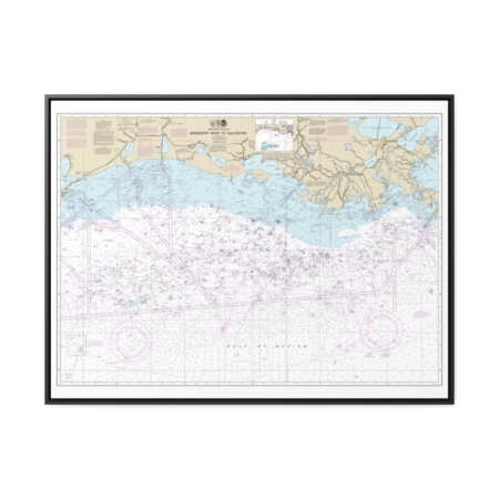
Mississippi River to Galveston Nautical Chart 11340 – Floating Frame Canvas
From: $184.95PREMIUM FLOATING FRAME CANVASDistance from your search: 3465.2mi -
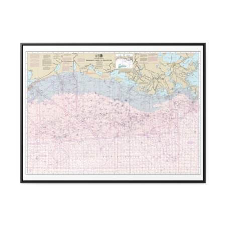
Mississippi River to Galveston (Oil and Gas Leasing Areas) Nautical Chart 1116A – Floating Frame Canvas
From: $184.95PREMIUM FLOATING FRAME CANVASDistance from your search: 3465.2mi -
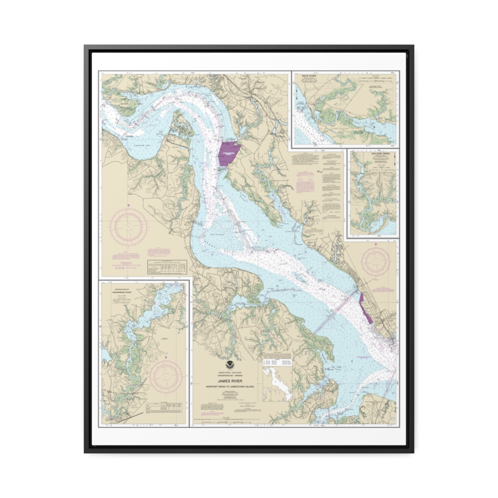
James River Newport News to Jamestown Island; Back River and College Creek Nautical Chart 12248 – Floating Frame Canvas
From: $184.95PREMIUM FLOATING FRAME CANVASDistance from your search: 3465.3mi