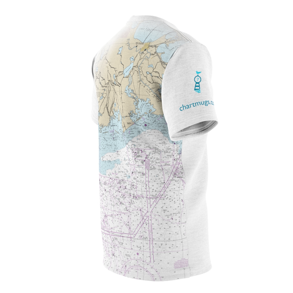
- Display 24 Products per page
-
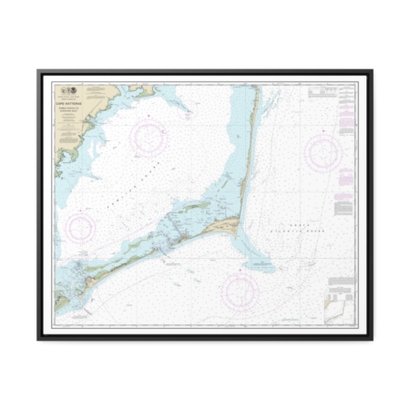
Cape Hatteras-Wimble Shoals to Ocracoke Inlet Nautical Chart 11555 – Floating Frame Canvas
From: $184.95PREMIUM FLOATING FRAME CANVASDistance from your search: 3818.9mi -
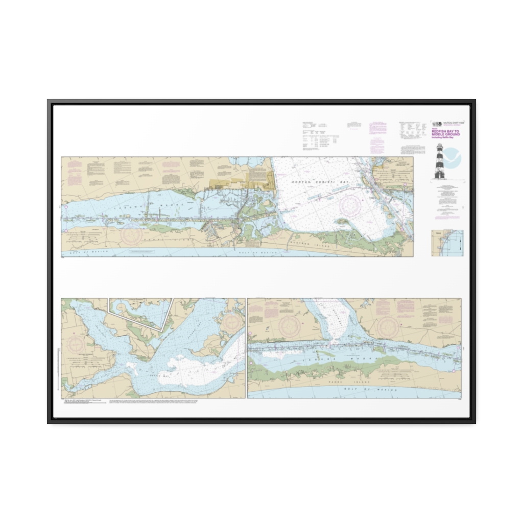
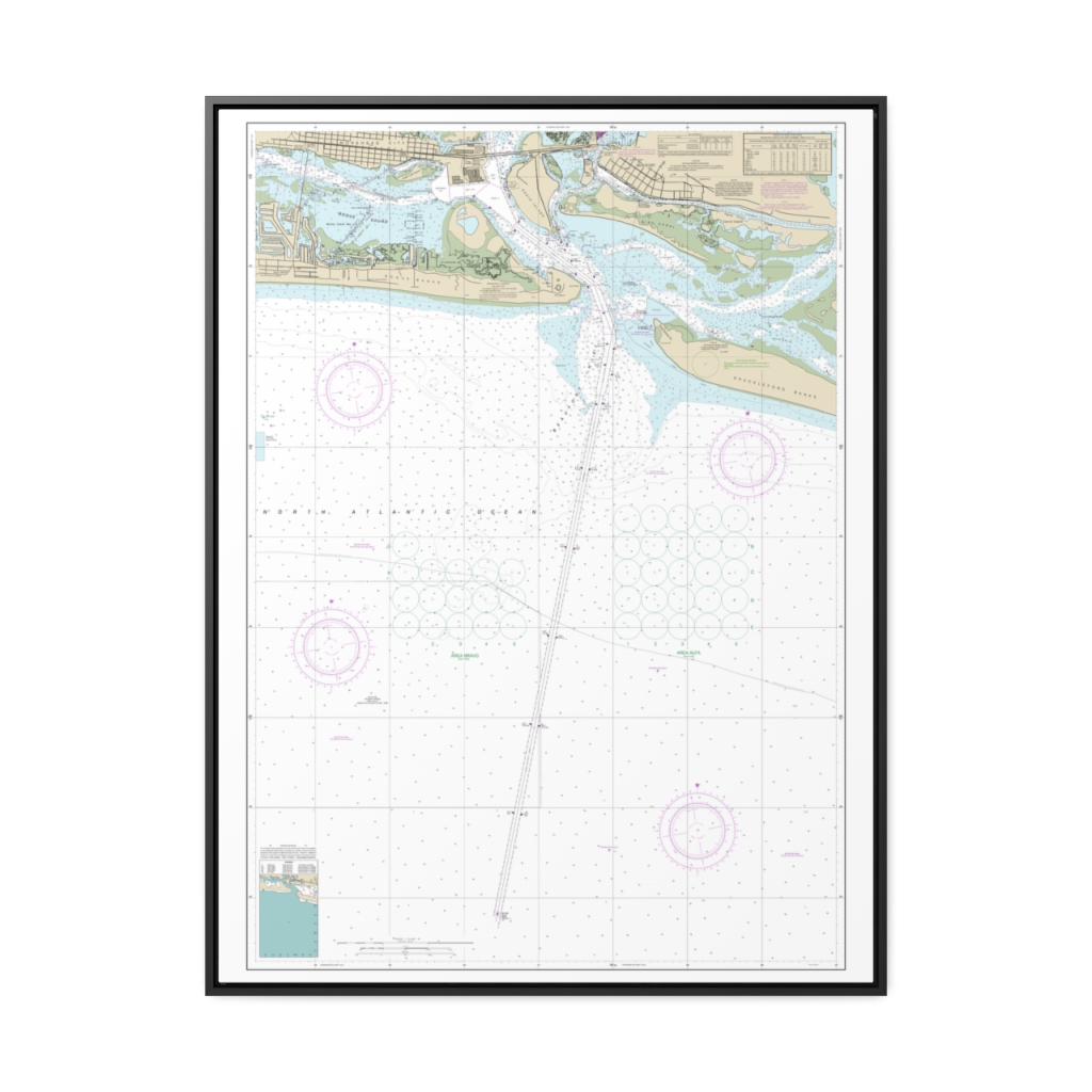
Intracoastal Waterway Redfish Bay to Middle Ground Nautical Chart 11308 – Floating Frame Canvas
From: $164.95PREMIUM FLOATING FRAME CANVASDistance from your search: 3819.4mi -
Distance from your search: 3820.4mi
-
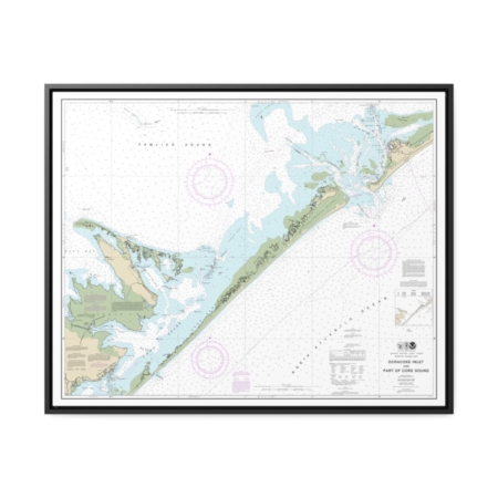
Ocracoke lnlet and Part of Core Sound Nautical Chart 11550 – Floating Frame Canvas
From: $184.95PREMIUM FLOATING FRAME CANVASDistance from your search: 3820.9mi -
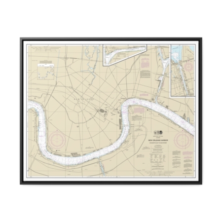
New Orleans Harbor Chalmette Slip to Southport Nautical Chart 11368 – Floating Frame Canvas
From: $184.95PREMIUM FLOATING FRAME CANVASDistance from your search: 3822.1mi -
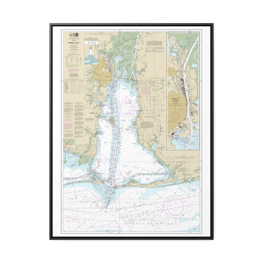
Mobile Bay Mobile Ship Channel-Northern End Nautical Chart 11376 – Floating Frame Canvas
From: $184.95PREMIUM FLOATING FRAME CANVASDistance from your search: 3822.4mi -
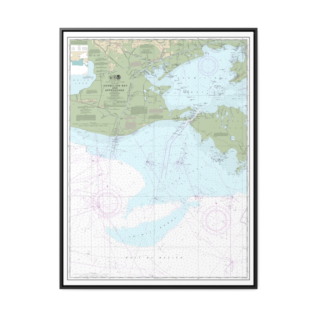
Vermilion Bay and approaches Nautical Chart 11349 – Floating Frame Canvas
From: $184.95PREMIUM FLOATING FRAME CANVASDistance from your search: 3822.5mi -
 11oz From $14.21 15oz From $16.46
Wilmington International Airport (ILM), Airport Boulevard, Wilmington, NC, USA FAA Sectional Aeronautical Charts Chart Mug
From: $18.95MIX, MATCH & SAVE! UP TO 25% OFFDistance from your search: 3823.7mi -
Distance from your search: 3824.2mi
-
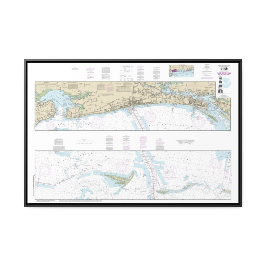
Intracoastal Waterway Dog Keys Pass to Waveland Nautical Chart 11372 – Floating Frame Canvas
From: $164.95PREMIUM FLOATING FRAME CANVASDistance from your search: 3824.4mi -
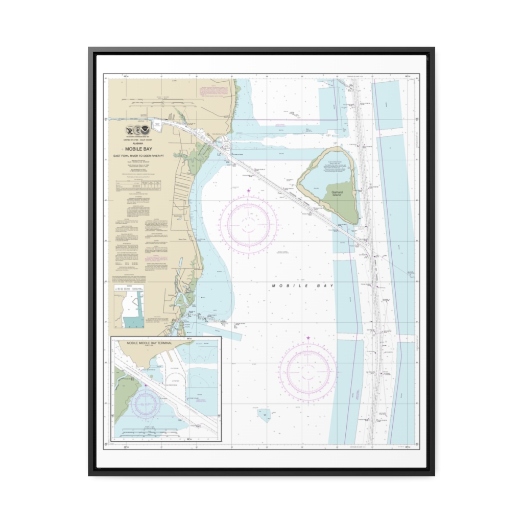
Mobile Bay East Fowl River to Deer River Pt; Mobile Middle Bay Terminal Nautical Chart 11380 – Floating Frame Canvas
From: $184.95PREMIUM FLOATING FRAME CANVASDistance from your search: 3829.4mi -
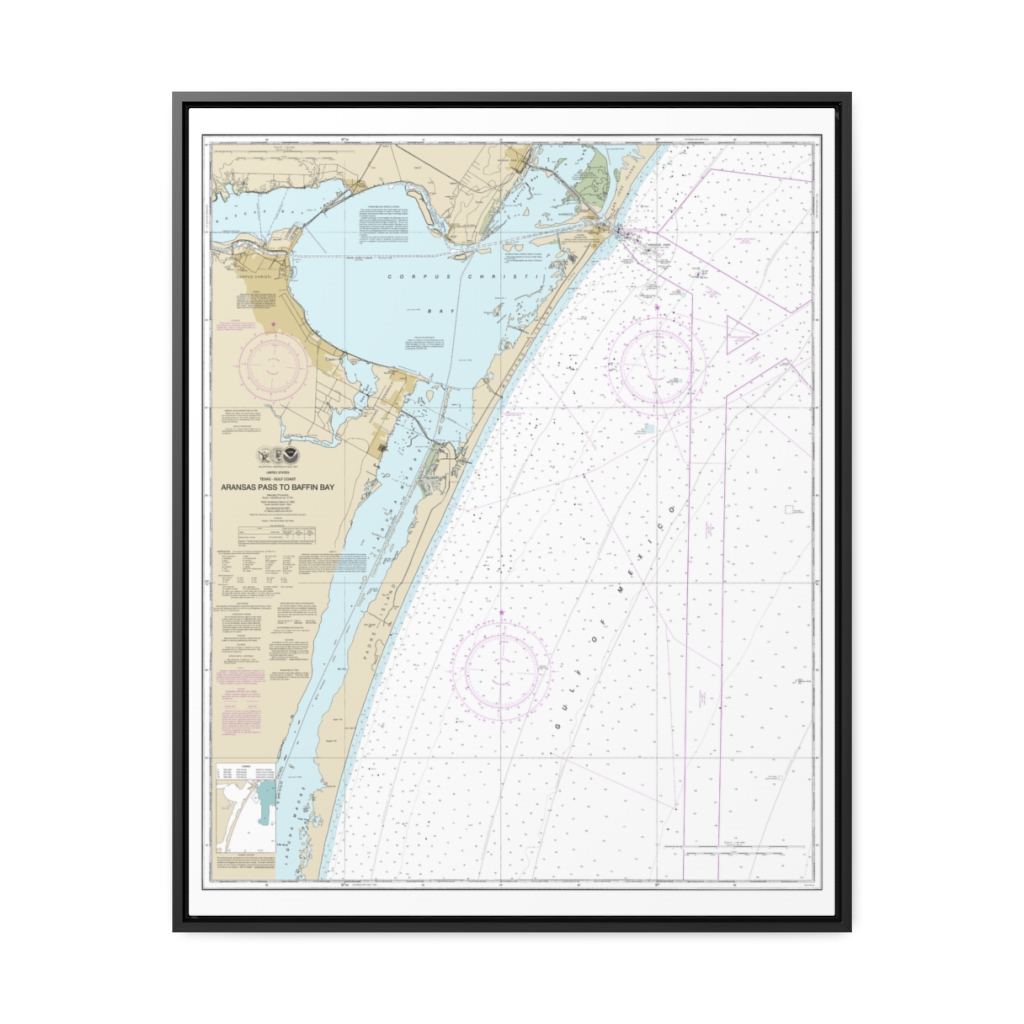
Aransas Pass to Baffin Bay Nautical Chart 11307 – Floating Frame Canvas
From: $184.95PREMIUM FLOATING FRAME CANVASDistance from your search: 3830.4mi -
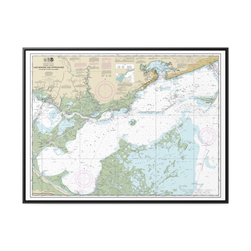
Lake Borgne and approaches Cat Island to Point aux Herbes Nautical Chart 11371 – Floating Frame Canvas
From: $184.95PREMIUM FLOATING FRAME CANVASDistance from your search: 3830.6mi -
Morehead City Harbor Nautical Chart 11547 – Floating Frame Canvas
From: $184.95PREMIUM FLOATING FRAME CANVASDistance from your search: 3830.9mi -
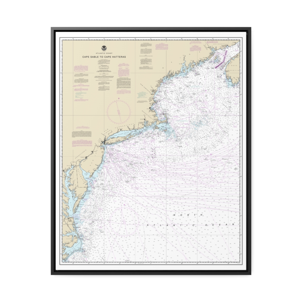
Cape Sable to Cape Hatteras Nautical Chart 13003 – Floating Frame Canvas
From: $184.95PREMIUM FLOATING FRAME CANVASDistance from your search: 3831.7mi -
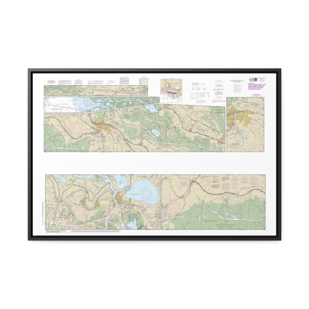
Intracoastal Waterway Catahoula Bay to Wax Lake Outlet including the Houma Navigation canal Nautical Chart 11355 – Floating Frame Canvas
From: $164.95PREMIUM FLOATING FRAME CANVASDistance from your search: 3832.1mi -
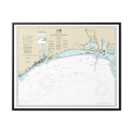
Cape Lookout to New River Nautical Chart 11543 – Floating Frame Canvas
From: $184.95PREMIUM FLOATING FRAME CANVASDistance from your search: 3832.3mi -
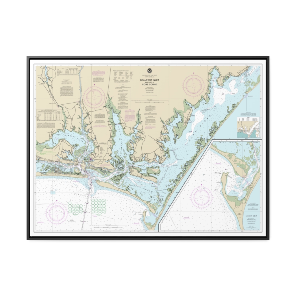
Beaufort Inlet and Part of Core Sound Lookout Bight Nautical Chart 11545 – Floating Frame Canvas
From: $184.95PREMIUM FLOATING FRAME CANVASDistance from your search: 3833.1mi -
 11oz From $14.21 15oz From $16.46
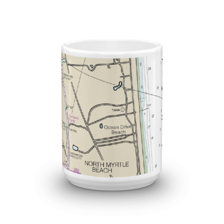
Ocean Drive Beach North Myrtle Beach ICW St M 350 Chart Mug
From: $18.95MIX, MATCH & SAVE! UP TO 25% OFFDistance from your search: 3834.7mi -
 11oz From $14.21 15oz From $16.46
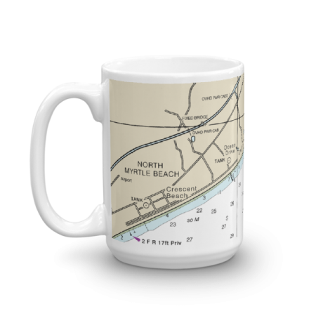
Ocean Drive Beach Cherry Grove Beach North Myrtle Beach Chart Mug
From: $18.95MIX, MATCH & SAVE! UP TO 25% OFFDistance from your search: 3834.8mi -
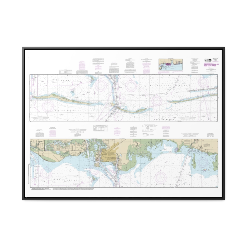
Intracoastal Waterway Dauphin Island to Dog Keys Pass Nautical Chart 11374 – Floating Frame Canvas
From: $164.95PREMIUM FLOATING FRAME CANVASDistance from your search: 3835.2mi -
 11oz From $14.21 15oz From $16.46
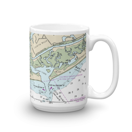
Little River Inlet ICW Chart Mug
From: $18.95MIX, MATCH & SAVE! UP TO 25% OFFDistance from your search: 3835.7mi -
 11oz From $14.21 15oz From $16.46
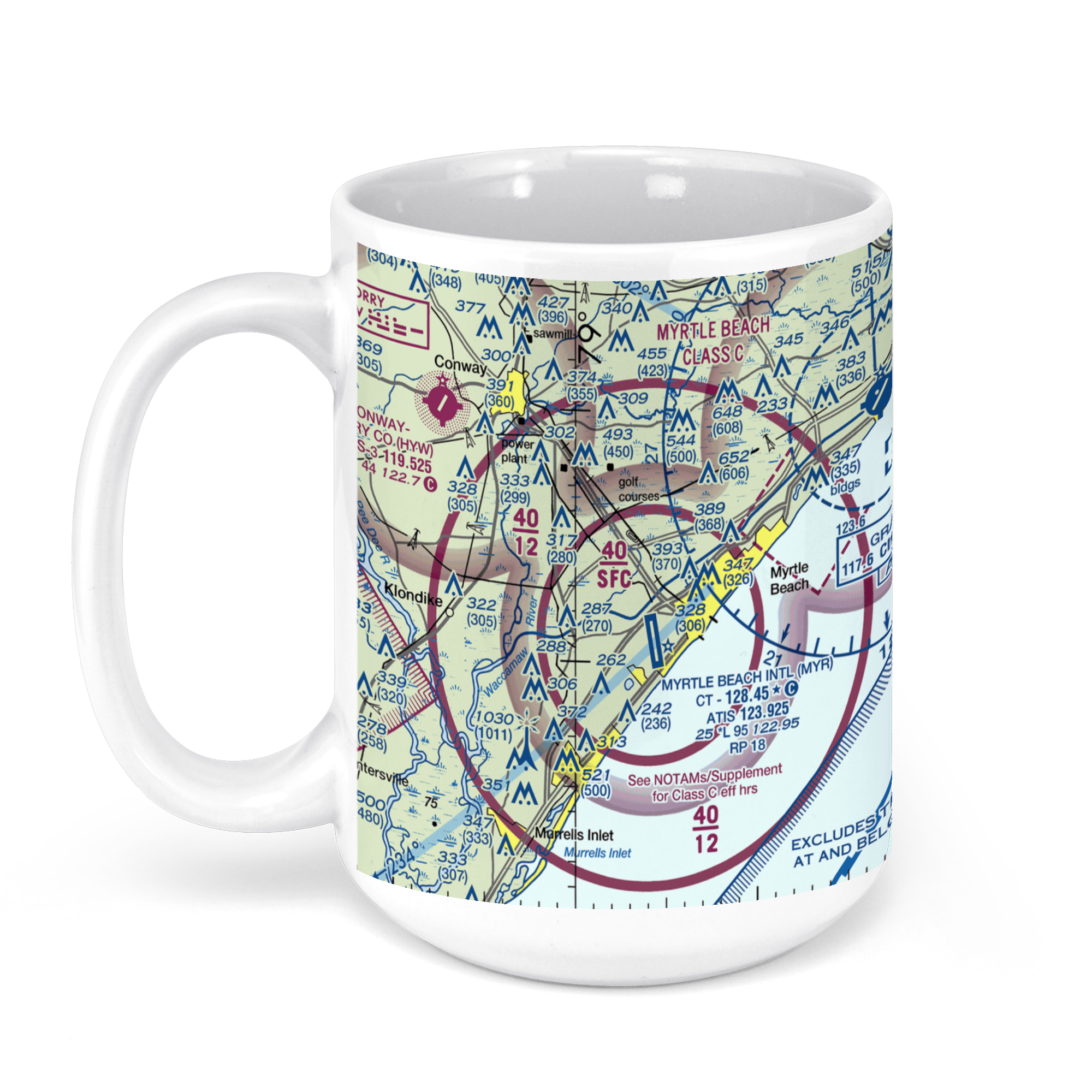
Myrtle Beach International Airport (MYR), Jetport Road, Myrtle Beach, SC, USA FAA Sectional Aeronautical Charts Chart Mug
From: $18.95MIX, MATCH & SAVE! UP TO 25% OFFDistance from your search: 3837.6mi -
 11oz From $14.21 15oz From $16.46
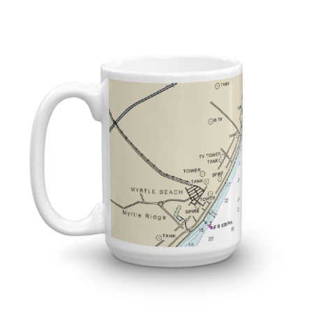
Myrtle Beach Chart Mug
From: $18.95MIX, MATCH & SAVE! UP TO 25% OFFDistance from your search: 3838.1mi